|
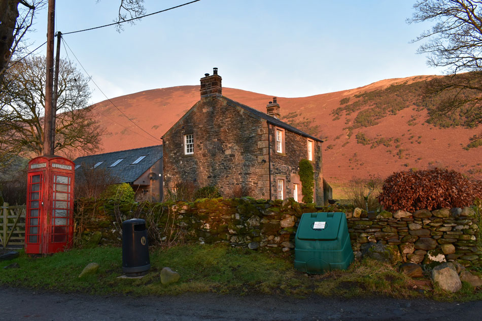
Blencathra from Mungrisdale |
 |
 |
1st January 2020 |
 |
|
I always like to try and bring the New Year in with a fell walk and this New Year's forecast looked a tad hit and miss with fog and low cloud forecast for the Lakeland fells but I wasn't going to let that stop me because what really spurred me on was there was also the chance that the higher summits around the north and east of the park would protrude above the cloud, this of course meant a temperature inversion.
I actually witnessed a lovely sunrise during my drive north but in between Lancaster and Penrith I'd also driven through fog so I didn't quite know what to expect once the sun came up. It had started to become light a couple of miles before I was due to turn off for Penrith and already I could see Cross Fell summit above a blanket of low cloud, this was a good sign of what to expect or at least I hoped. With a faint afterglow in my rear view mirror I drove along the A66 and soon Blencathra appeared in the distance but not enveloped in cloud, on the contrary, Blencathra was totally cloud free, in fact there wasn't a cloud in the sky which left me grinning like a Cheshire cat, today was meant to be another grey sky low cloud day but what I got was a contender for walk of the year and it's only day one. |
|
| Wainwright Guide Book Five |
 |
| The Northern Fells |
-Bannerdale Crags East Ridge Towards the end this becomes a grand scramble in an impressive situation – a bit of real mountaineering. |
 |
|
|
|
| |
|
Overview |
|
|
| Ascent: |
2,850 Feet - 869 Metres |
| Wainwrights: |
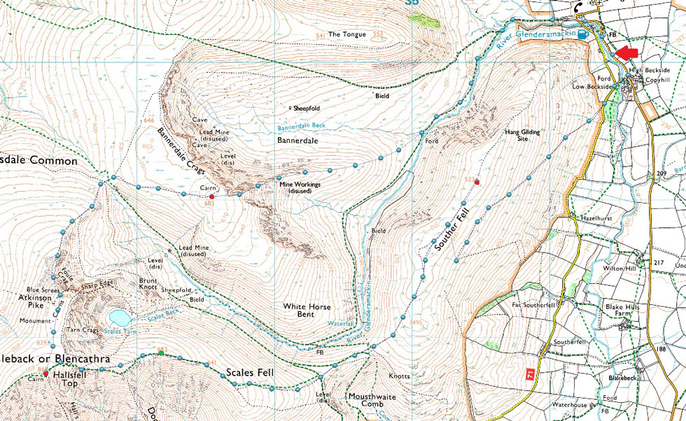
Bannerdale Crags - Blencathra - Souther Fell |
| Weather: |
A Bright Start Turning Cloudier With Height Gained, In & Out Of Cloud. Highs of 6°C Lows of 0°C |
| Parking: |
Roadside Spaces, Mungrisdale Village |
| Area: |
Northern |
| Miles: |
8 |
| Walking With: |
On My Own |
| Ordnance Survey: |
OL4 |
| Time Taken: |
4 Hours 10 Minutes |
| Route: |
Mungrisdale - River Glenderamackin - Bannerdale Crags East Ridge - Bannerdale Crags - Atkinson Pike - Blencathra - Scales Fell - Top of Mousethwaite Comb - Souther Fell - Low Beckside - Mungrisdale |
|
| |
|
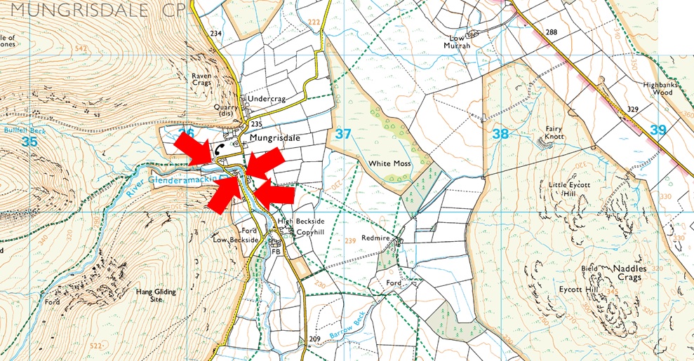
Parking Details and Map |
|
|
| Nearest Post Code: |
CA11 0XR |
| Grid Reference: |
NY 364 730 |
| Notes: |
The village of Mungrisdale is quite a small village with limited parking. The lower right arrow points towards a grass verge on the left prior to entering the village with room for around five cars, parking here is free. The lower left arrow points towards the Mill Inn which has a car park to the rear and is for guests only. The upper right arrow is the main car park in the village which is found opposite the village hall where a sign advises users to use the honesty box outside the village hall. The upper left arrow points towards street parking found at the northern edge of the village, to locate, turn left once the red phone box is reached. |
|
| |
|
Map and Photo Gallery |
|
|
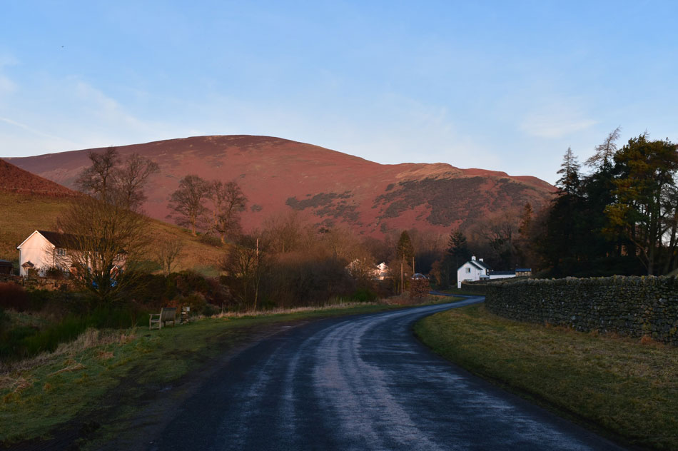 |
| Bowscale Fell East Ridge from Mungrisdale 09:00am 0°C |
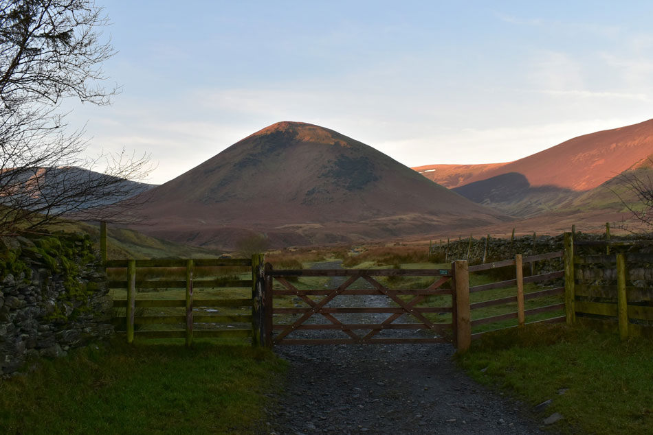
| I was still feeling like a kid in a sweet shop as I arrived in Mungrisdale so much so I nearly went head over heels once out of the car finding a thin layer of ice coating the tarmac. There's a morning nip in the air which after a few minutes started to turn my fingers numb as I laced up my boots so before I locked the car I made sure I'd added hats and gloves. There wasn't a soul in sight which I kinda expected given that this is New Year's day but I reckon Mungrisdale and many other a Lakeland village are going to start turning busier once the hangovers start to wear off. Only the burble of the River Glenderamackin off to my left breaks the morning silence and I still can't quite believe I have these wonderful views when right now I was expecting to be setting off under dull, dreary skies. |
 |
| The Old School House, Mungrisdale with Bowscale Fell East Ridge in the distance. |
| I walked the short distance and passed the Mill Inn over to my left before arriving at the Old School House, it is here I swing a left towards Bannerdale. |
 |
| The Tongue with Bannerdale Crags seen left. |
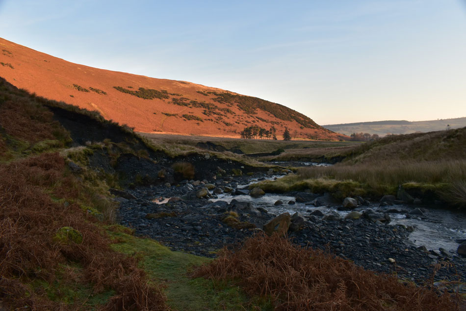
| My route will see me follow the River Glenderackin which is out of shot over to my left which curves left at the foot of the Tongue up ahead. The ground is notoriously boggy underfoot and because of this stone slabs have been laid which work a treat except when they're covered in ice, I'm just pleased no one was watching me cross those stone slabs this morning. |
 |
| Navigating around damaged path, River Glenderamackin. |
| After mentioning todays walk to Rod and David last weekend Rod reminded me to 'keep high' above the River Glenderackin where the path has been washed away in several places but to be honest I hadn't forgotton the above diversions needed in order get around the damaged river banks. I join the path part of which is worst affected but there's more ahead. Instead of climbing high however, I dropped onto stone beside the river below and made my way across then rejoined the path seen in the foreground of the picture. |
 |
| Bannerdale Crags and Bannerdale Crags East ridge. |
| I'd been walking in shade up until now and it looks like I'm going to have to wait a bit longer until I feel the sun on my face. |
 |
| Bannerdale above Bannerdale Beck. |
| |
 |
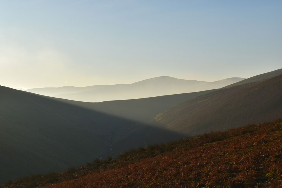
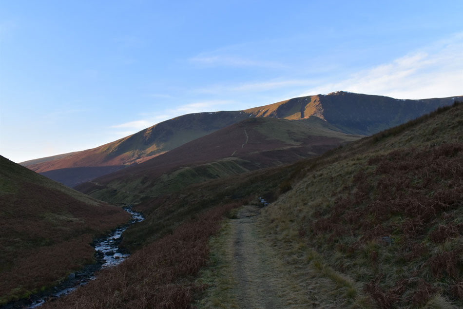
| Great Dodd and Clough Head seen above Mousthwaite Comb |
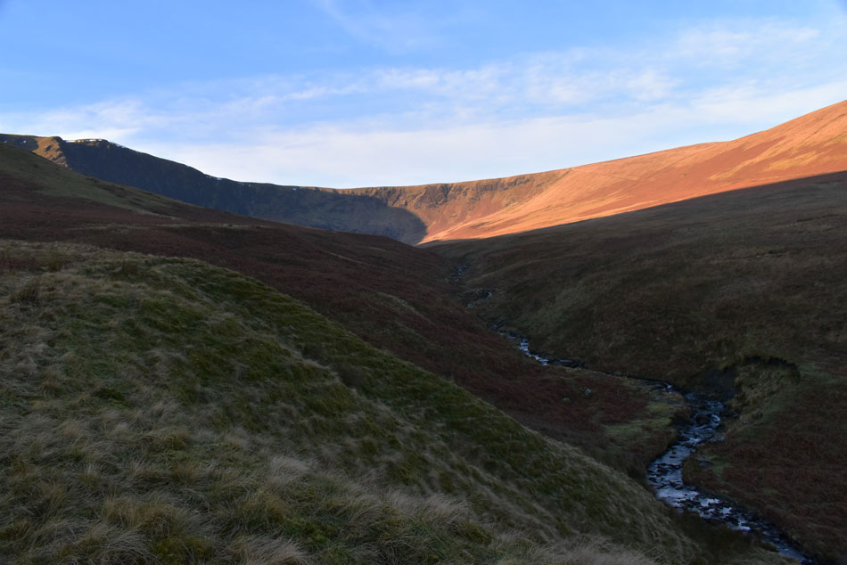
| After more diversions alongside the river bank I crossed the River Glenderamackin at a Ford and started the steep pull onto Bannerdale Crags east ridge and soon I started to feel the heat so off came my beanie. Once the ridge was gained I looked back on trodden ground where even from up here it looked mighty wet, my boots knew it too. I still had to wait a wee bit longer until I was in the sunlight which spurred me forward while my view south towards Mousthwaite Comb was inspiring to say the least, had I arrived ten minutes sooner than later I would have missed these wonderful shafts of sun light which intensified as the sun climbed higher. The view alone was enough to make me stop on more than one occasion. |
 |
| Sunrise over Souther Fell. |
| |
 |
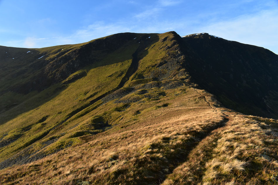
| Bannerdale Crags East Ridge and Bannerdale Crags seen right. |
| I don't know about anyone else but once I'm in direct sunlight I can instantly feel my batteries start to recharge especially during the long dark days of Winter. |
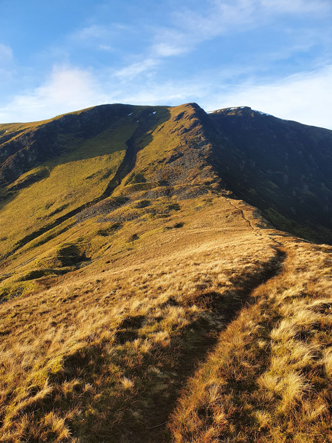 |
| Bannerdale Crags East Ridge. |
| I took this image with my mobile phone and uploaded onto to my Facebook page, I'm not one to share images when I'm out fell walking but I thought I'd make an exception given the glorious view and conditions. |
 |
| Bannerdale Crags East Ridge. |
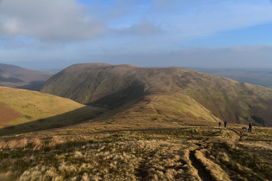
| The climb up the east ridge is pretty straight forward as long as you keep to the path which passes through the old mine workings then onto Bannerdale Crags summit although as I'm about to experience caution along with the correct gear must be exercised if ice is encountered during ascent. |
 |
| The view down the East ridge towards Souther Fell from the old mine workings. |
| All that was required was to enjoy the final steep push onto the summit but instead I had to concentrate on where I was putting my feet finding ice covered rock during the final push towards the summit, this of course can be avoided in conditions such as todays by ascending via grass or loose 'smaller stone' anything larger was best avoided. |
 |
| Views over Bannerdale towards The Tongue and Bowscale Fell East Ridge. |
| |
 |
| A distant Great Mell Fell seen beyond Souther Fell. |
| |
 |
| Bowscale Fell seen over Bannerdale. |
| |
 |
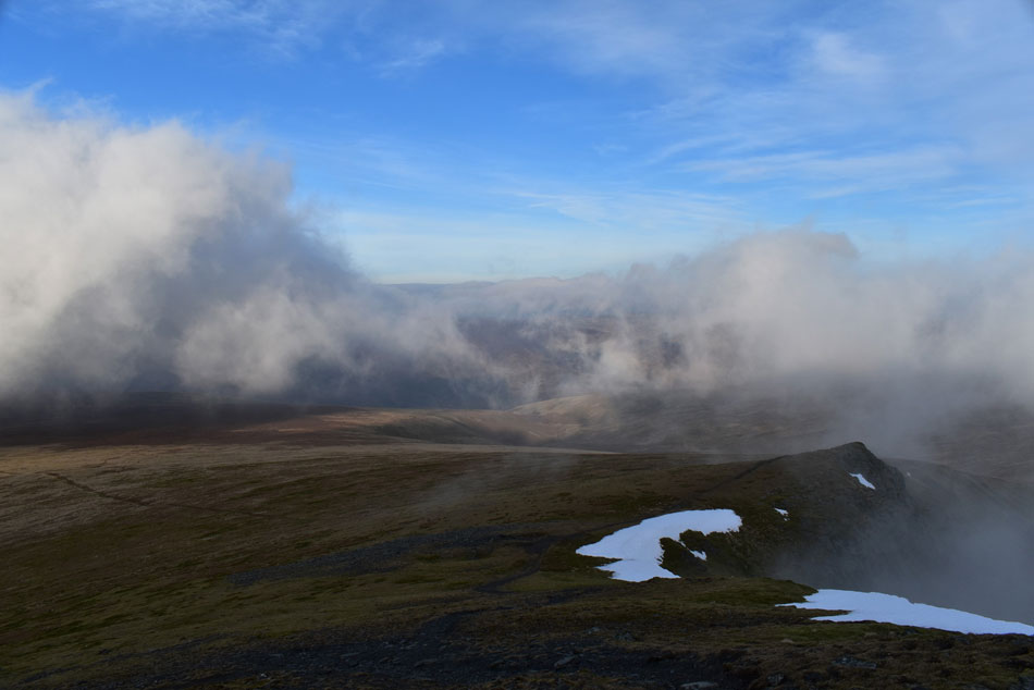
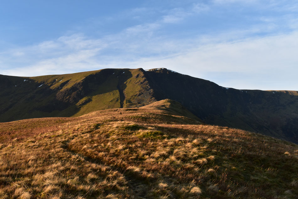
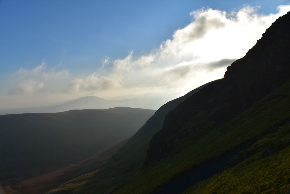
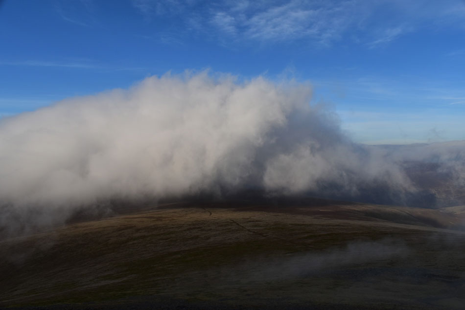
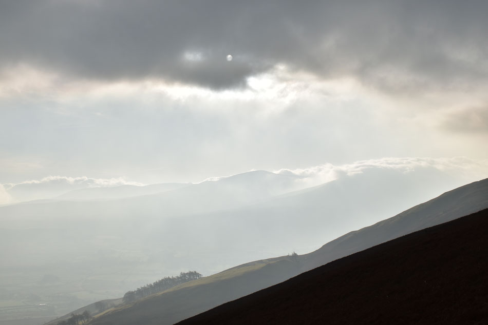
| Cloud cover, Lower Scale Fell on Blencathra from Bannerdale Crags summit. |
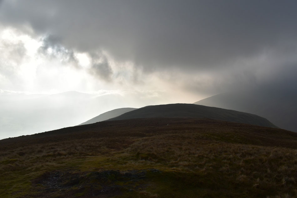
I knew conditions were to good to be true which was confirmed just moments before reaching Bannerdale Crags summit when blue skies started to make way for grey, it happened so quick such the wind whipping around at height that for a few moments before the cloud reached me I could look back down the east ridge while blue skies formed my vista but within the click of a finger I started to lose visibility.
It was all very dramatic and despite losing long distant views I got to see views such as this which are equally mesmerising. |
 |
| Blencathra as more cloud settles over the summit. |
| It was anyone's guess if the cloud would still be there by the time I arrived but by my reckoning Blencathra's summit is a couple of hundred feet too low to escape the cloud thus why I may not get my cloud inversion but you never know because the wind is pushing the cloud along at some rate of knots right now. |
 |
| No such shenanigans towards Bowscale Fell. |
| Which is escaping the cloud, for now anyway. |
 |
| A rather hazy view towards Great Calva, Pike and Knott. |
| |
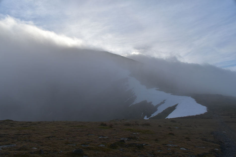 |
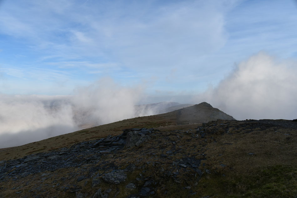
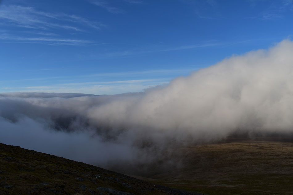
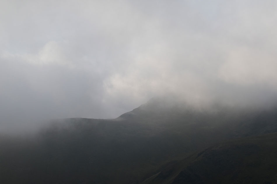
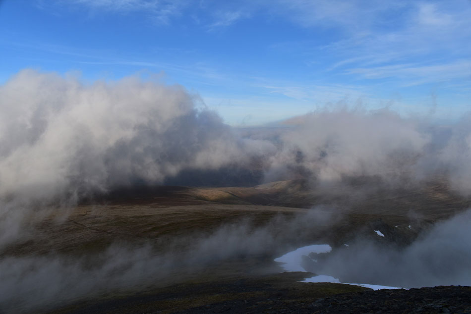
| Blencathra almost lost in cloud. |
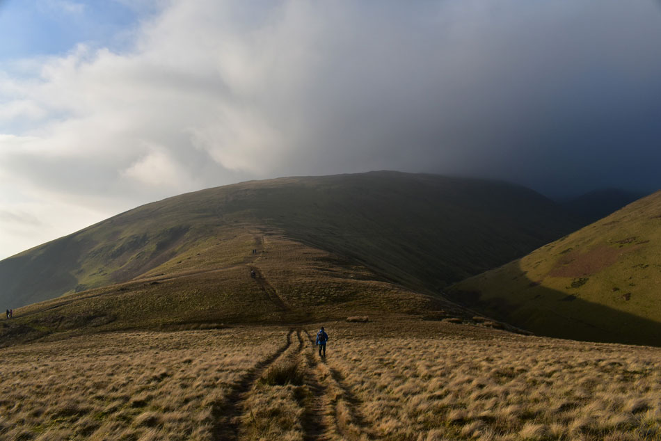
| I crossed the grassy col after leaving Bannerdale Crags and started the steady ascent on Atkinson Pike/Blencathra passing a young couple in descent where friendly Hi's were exchanged before sighting two walkers between the cloud at the foot of Sharp Edge, I couldn't believe what I was looking at having just struggled myself over ice covered rock on Bannerdale Crags east ridge, were these two really going to attempt crossing Sharp Edge in these conditions? I stopped and observed, they had stopped too so I continued to watch and even from this distance I could sense that there body language just wasn't right, the wind continued to howl and with advancing cloud coming and going I lost sight of them, I only hoped that they had made the right decision to turn back. |
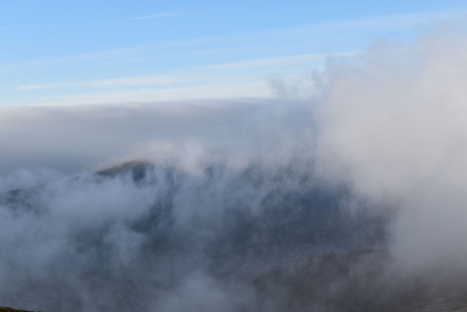 |
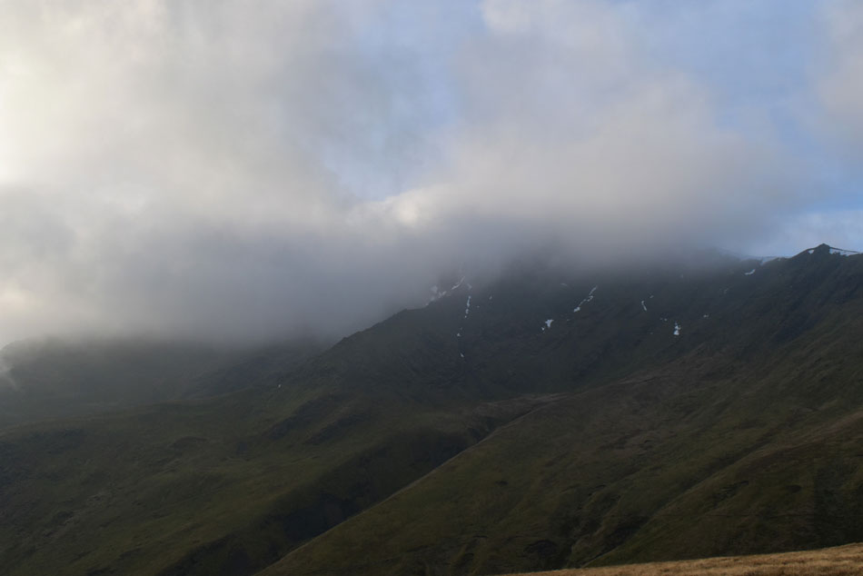
| Great Calva under siege. |
| I continued to climb towards the top of Atkinson Pike and for my efforts I was treated to a tremendous cloud display. |
 |
| More cloud passes as it skims over the top of Mungrisdale Common. |
| |
 |
| But all good things must come to an end. |
| |
 |
| Blencathra. |
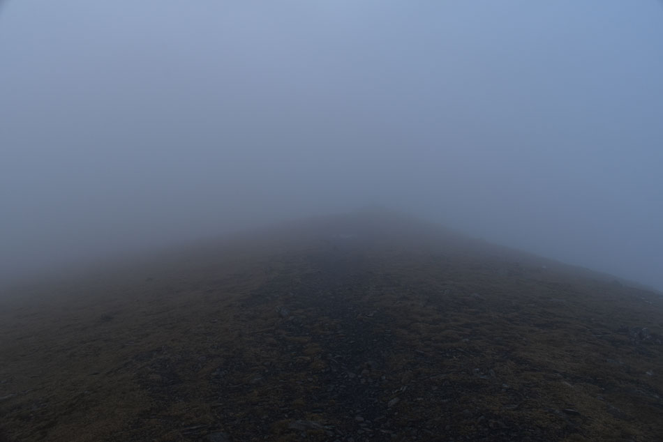
It was tempting to seek out some shelter and watch the cloud go by at a point when I couldn't make my mind up if I was sandwiched in between the cloud and a cloudless Blencathra but the higher I climbed the less my chances grew of experiencing a cloud inversion from the summit. The wind was blowing a right hooley and I hadn't felt windchill so severe for a long time, more so as I was walking head first into it, I zipped up and continued my walk towards the summit first passing the large stone cross over to my left then a semi-frozen Tarn towards my right where back in June last year I had watched the sunset from before descending back to my car at Scales under the glow of moonlight. |
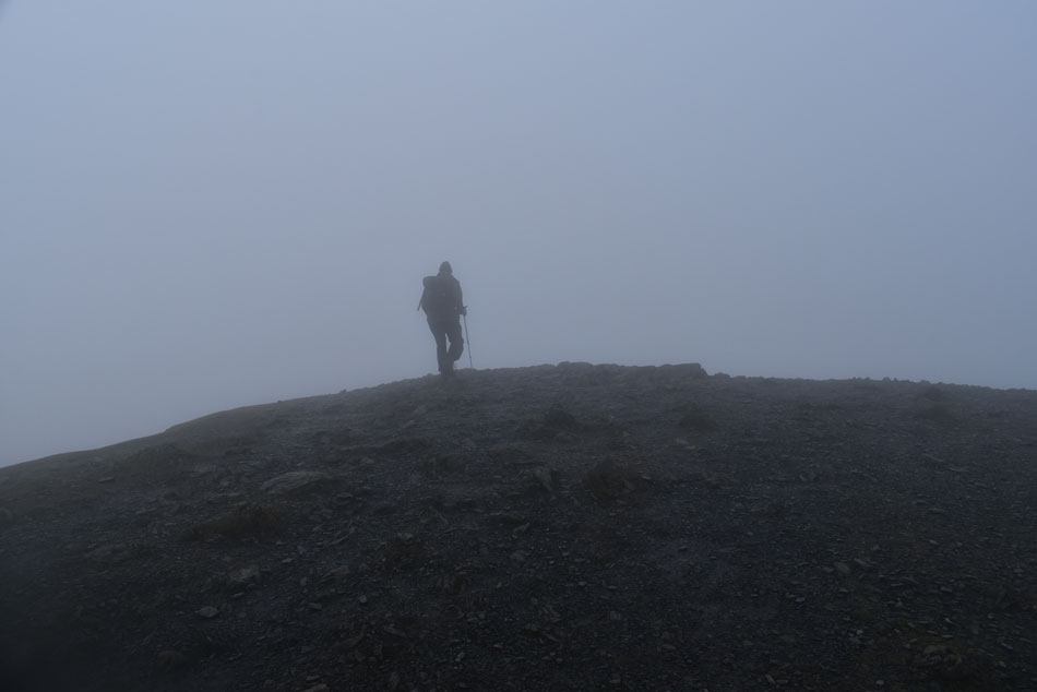 |
| Blencathra summit. |
The thought of my sunset evening quickly came and went and soon I was climbing up-hill with the summit just beyond, it was here I start to walk parallel with a solo walker (pictured) and we arrived at deserted summit more or less at the same time sharing "Mornings" followed by "Happy New Year"
Eveynow and then a chink of blue sky would open up but it was quickly overcome by cloud, we were so damn close to this inversion but sadly too low as the cloud hurried along just a hundred feet or so above our heads. I left the solo walker then began my descent towards the top of Doddick Fell via the familiar zigzags, I could hear the guy not far behind me but when I looked all I could see was a wall of cloud, still, safety in numbers eh. |
 |
| Whitehorse Bent, Mousthwaite Comb and Souther Fell. |
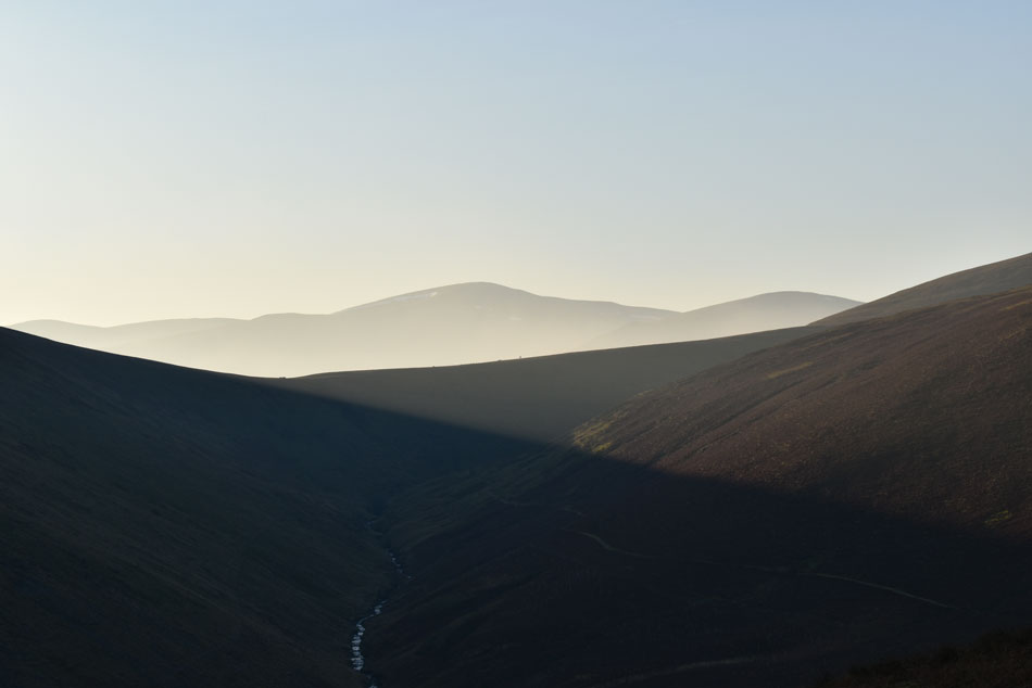
| I could still hear the solo walker behind me during my descent passing the top of Doddick Fell and during the upper half of Scales Fell before the cloud broke into hazy sunshine at around 1,800ft. I passed a young girl with her dog who after looking at the wall of cloud ahead of her laughed "I take it's clear up top" "yes I replied, and there's a hot flask of tea waiting for you too" It was pretty busy as I reached the top of Mousthwaite Comb with more walkers in ascent all in good spirits except the three guys who I bumped into whilst crossing the col below who were deadly serious about climbing Sharp Edge, the only thing was I just couldn't take them seriously back. |
 |
| Scales Fell from Mousthwaite Comb. |
Mousthwaite Comb was soon reached which was where I bumped into the three guys you see furthest along the path. I was first met with not a hello but "which one is Sharp Edge" I took one look at this chap who had ascended Mousthwaite Comb wearing black trousers, black brogues and a jacket you'd wear to the supermarket, I needed to think about this carefully but I was overtook by sarcasm "see that wall of death over there in black cloud, that's Sharp Edge I replied, and no mate, you do not want to be going anywhere near in those conditions wearing those shoes.
I left, shaking my head in disbelief at the conversation I had just had. |
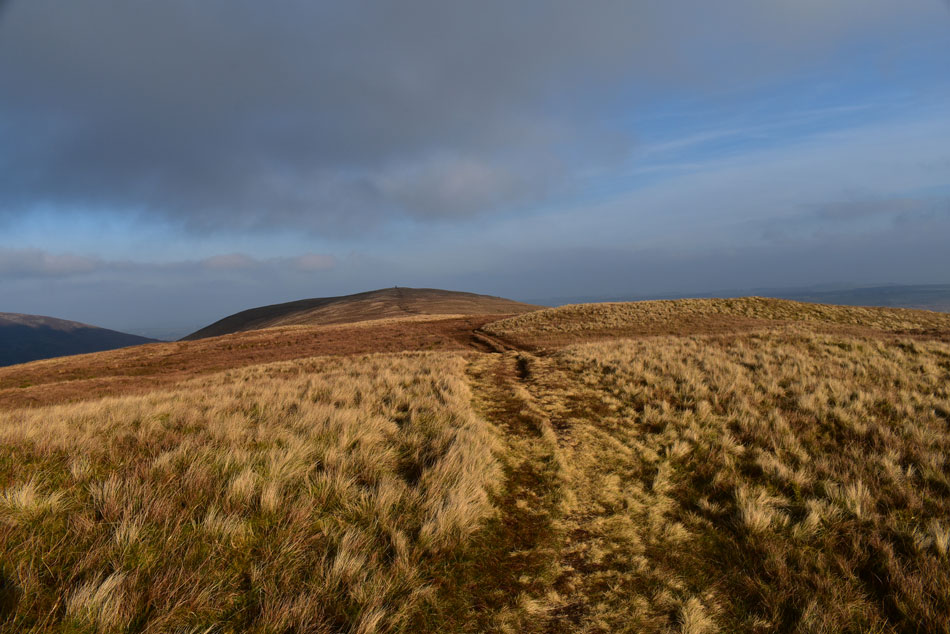 |
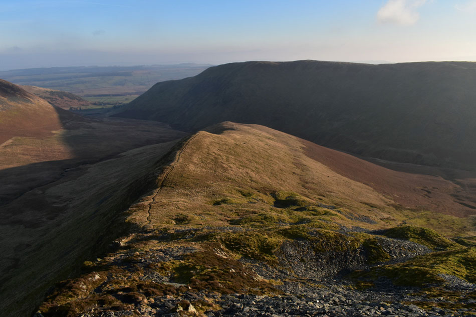
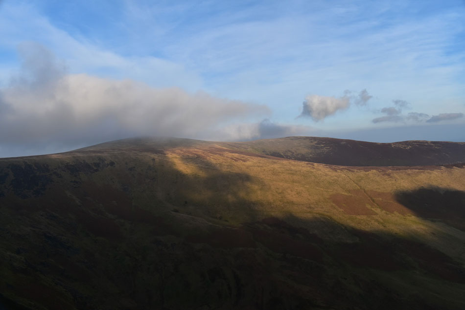
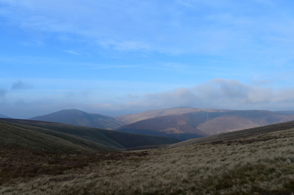
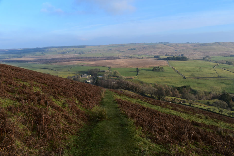
| Souther Fell summit is just ahead. |
| The last few minutes were quickly forgotten about as I enjoyed the final push onto Souther Fell summit, this ascent is such a rewarding one with little to no effort required even after a 'big day' on the fells and todays was no different. |
 |
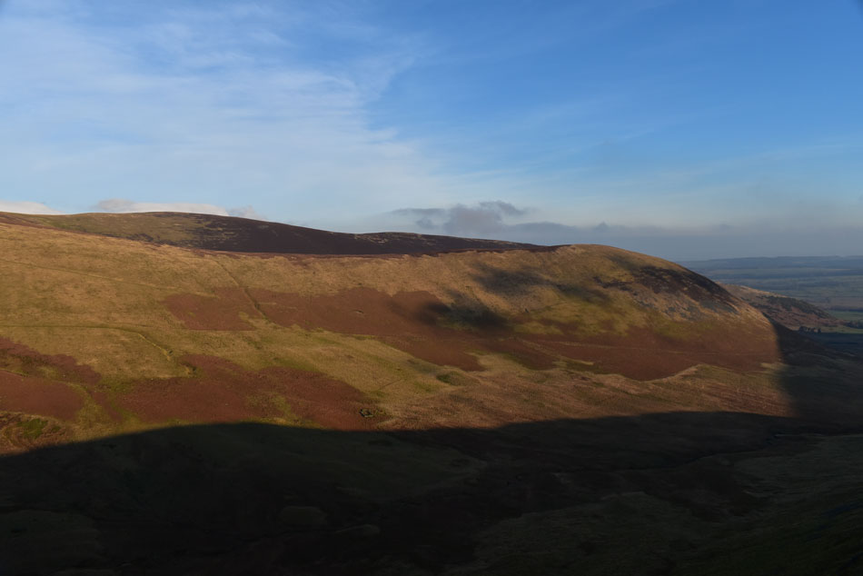
| Looking back along the spine of Souther Fell. |
| Still, the menacing cloud looms above towards the west. |
 |
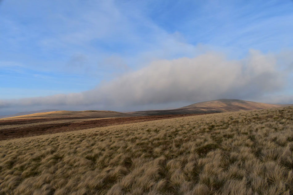
| Great Dodd summit protrudes above the cloud in the distance. |
| |
 |
| Descending back to Mungrisdale via the North East flank of Souther Fell. |
| |
 |
| The River Glenderamackin as it flows through Low Beckside. |
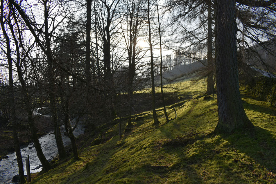
I left Souther Fell and turned heel following my footsteps to a shallow col where I turned left and followed the gentle north east path down the grassy slopes all the way to Low Beckside. With a loss in height I was able to feel the heat from the sun directly behind me and within minutes I was loosening zips and losing layers. A couple who I had seen back at the summit were taking advantage of the afternoon sunshine and had stopped just above the road to eat lunch and I nodded as I walked past.
The road which links Mungrisdale to Scales was reached and on one side cars had parked along the verge some of whose occupants were ready to leave. Low Beckside was reached where I passed through a gate on my right which opened out into a meadow like field where before I cross the Glenderamackin for the last time I turn around and took this photo of a Winter sun streaking through a coppice of trees as this solo walker had just completed his first walk of a new decade. |
|
| |
| Back to top |
 |
|