Branstree, Selside Pike and the Corpse Road

11th January 2020

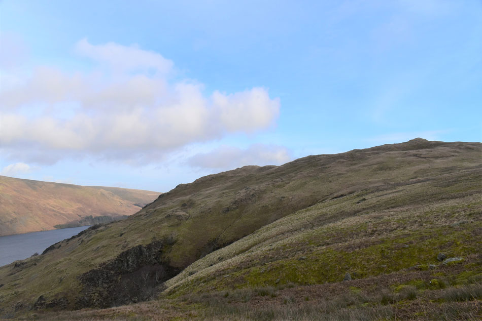
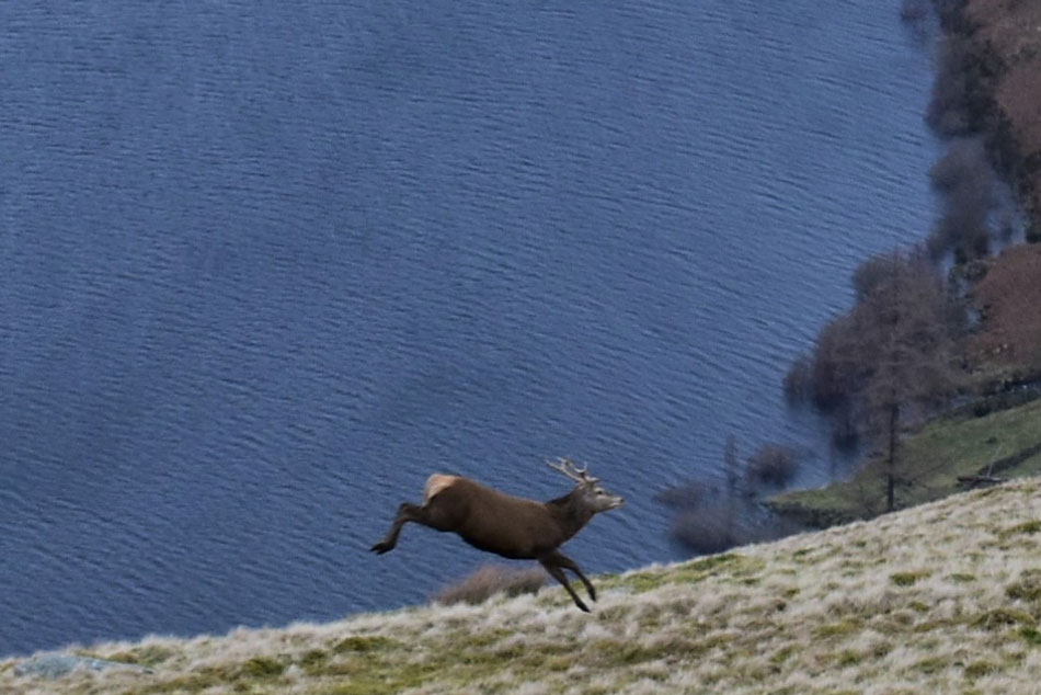
Despite the incorrect forecast todays walk had a real Spring like feel to it. It's funny how things can change in a matter of days when last weekend David, Rod and I experienced -10°C windchill on Helvellyn while today it was plus 10°C by the time I got back to my car, admittedly, it was still rather fresh over the summits but, I didn't recall hearing any Lap Wings on Helvellyn like I did while ascending Branstree this morning, mother nature doesn't lie, Spring is just around the corner.

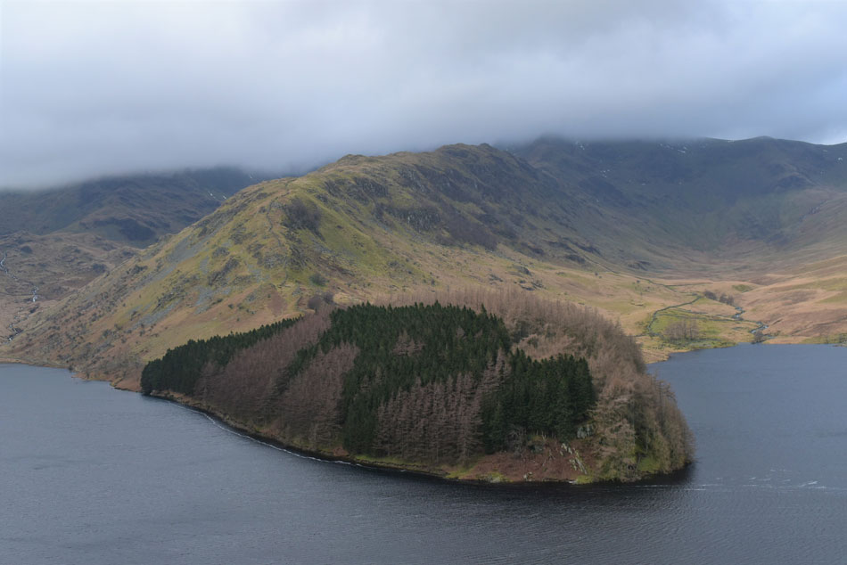
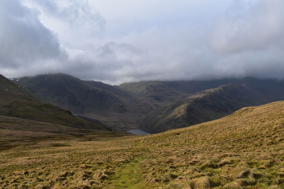
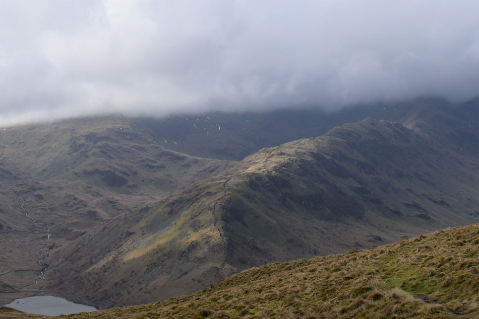
I'm getting really fond of this route after first walking it as part of my 'walking the Birketts' project back in June 2018, a walk that's starting to qualify as one of my 'go to walks' you know the one, the walk where you don't have to plan, a walk where you get let your mind wander and most importantly, a walk with rewarding views, and they don't come more rewarding than views of the Rough Crag ridge and High Street, yup this walk certainly ticked all my boxes.

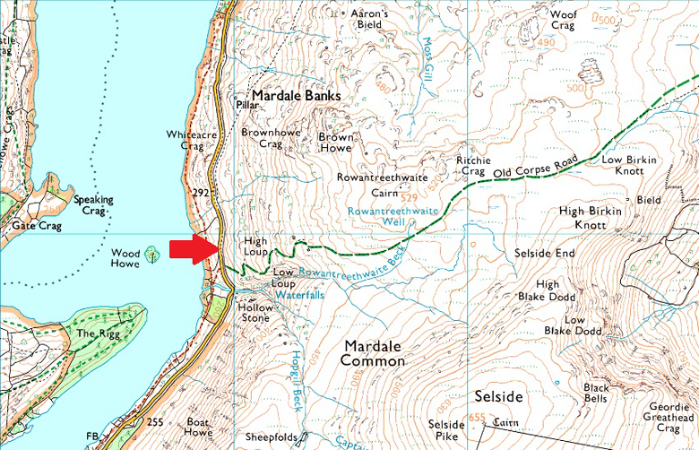
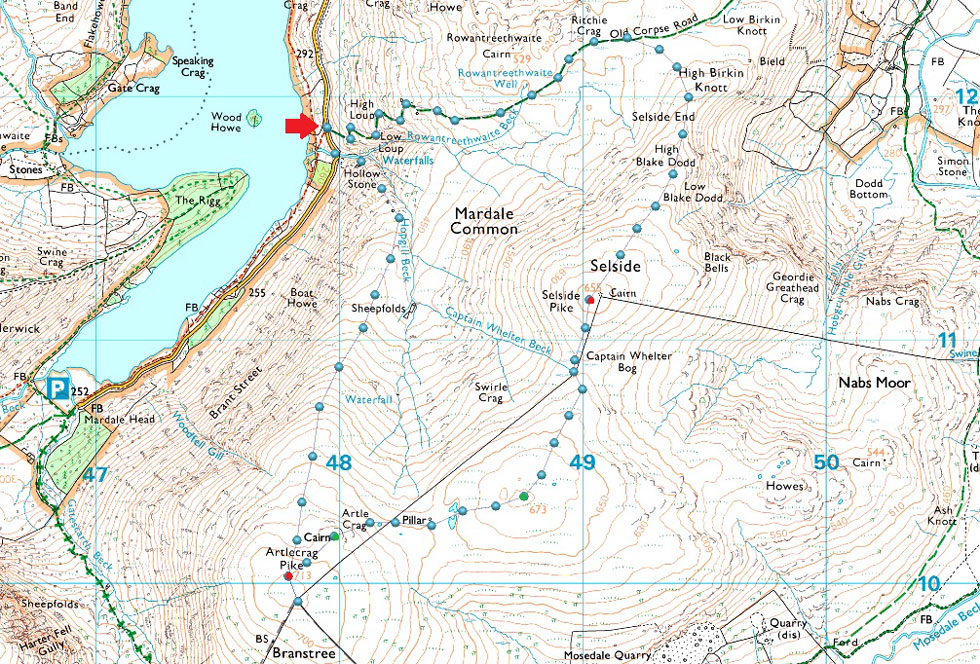
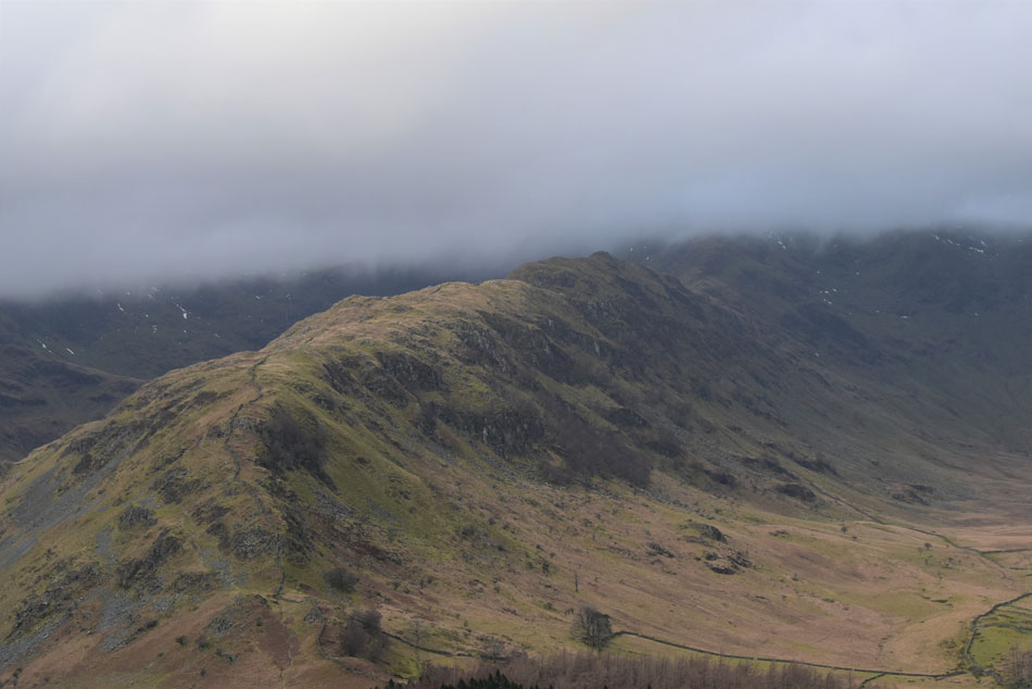
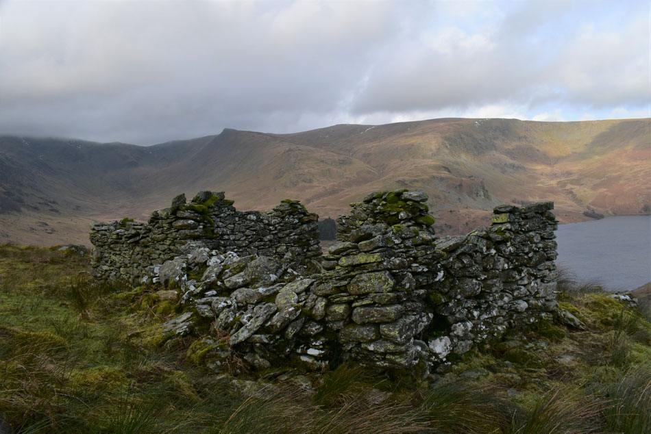
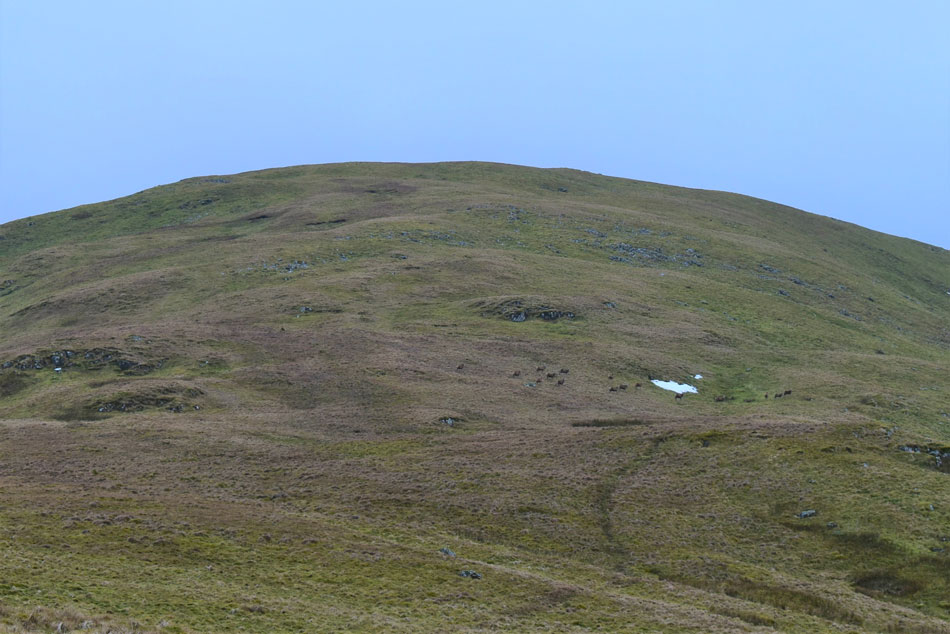
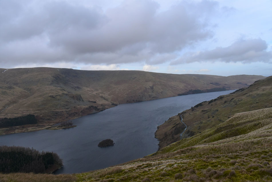
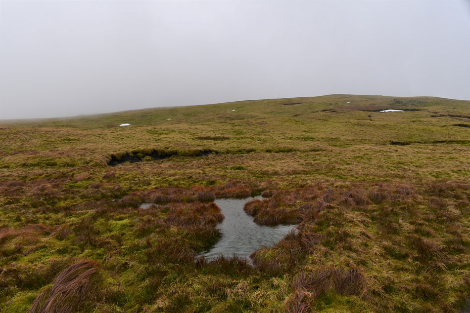
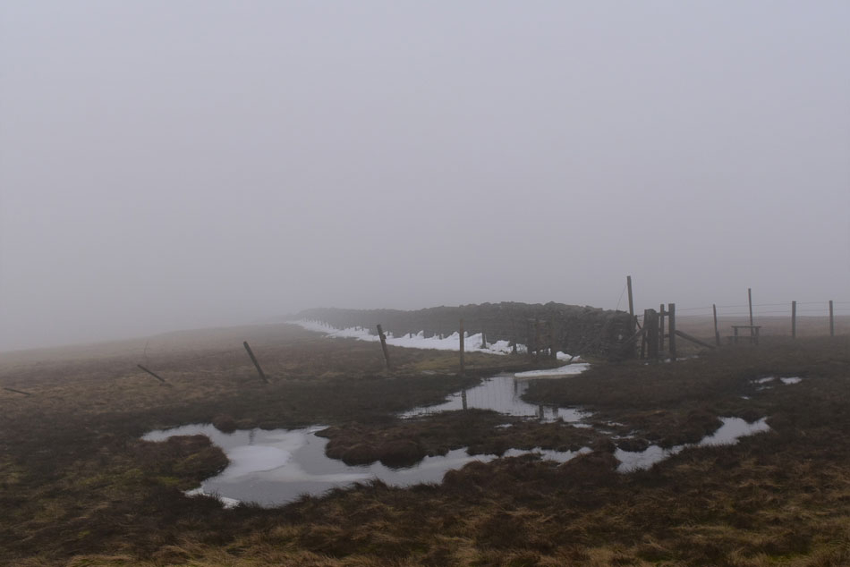
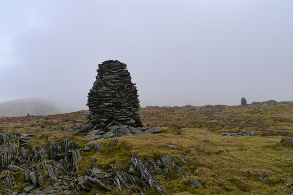
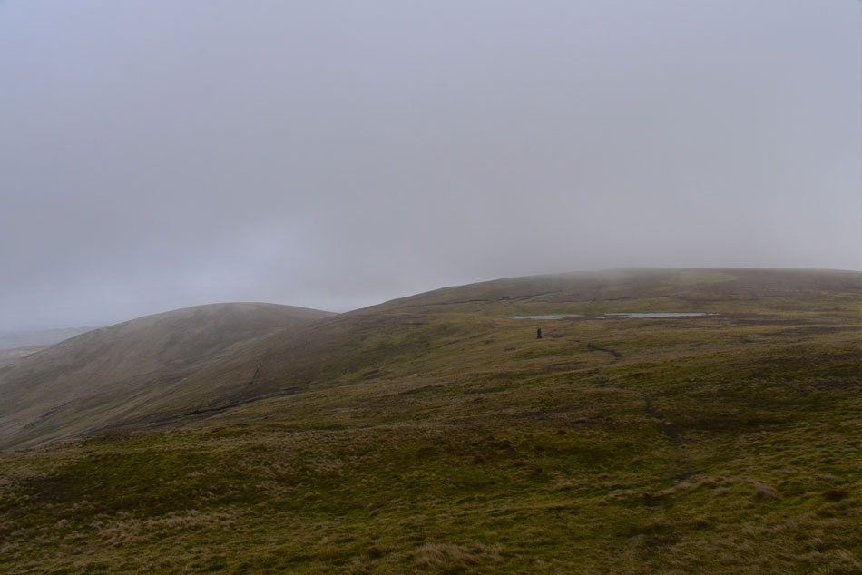
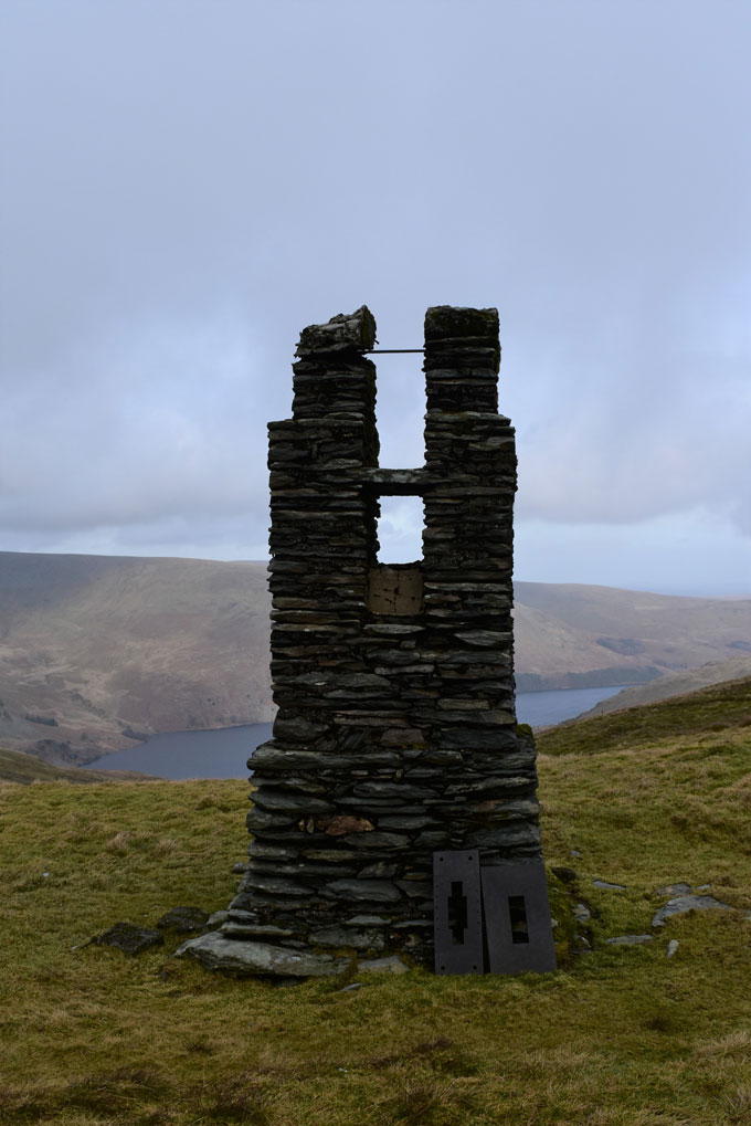
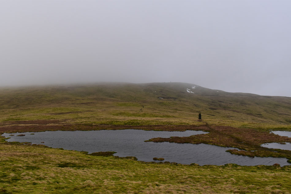
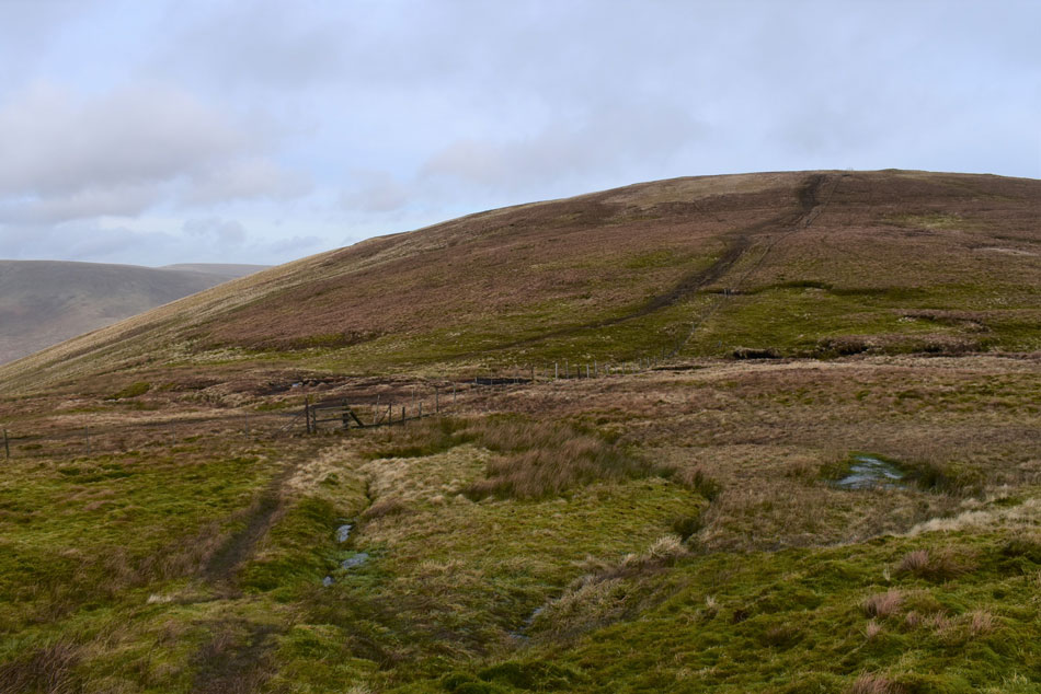
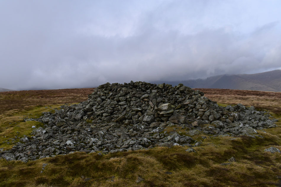
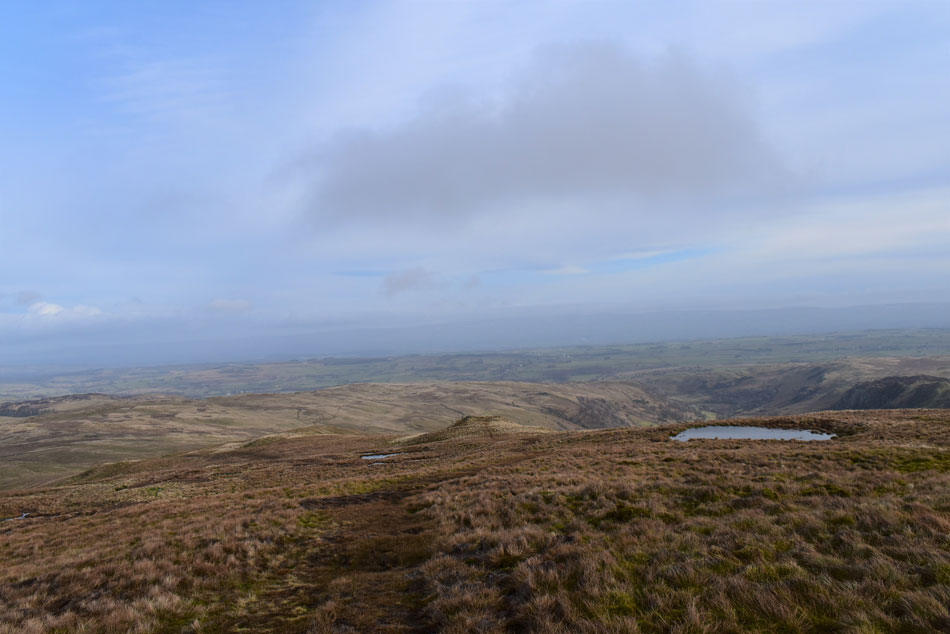
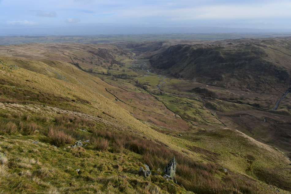
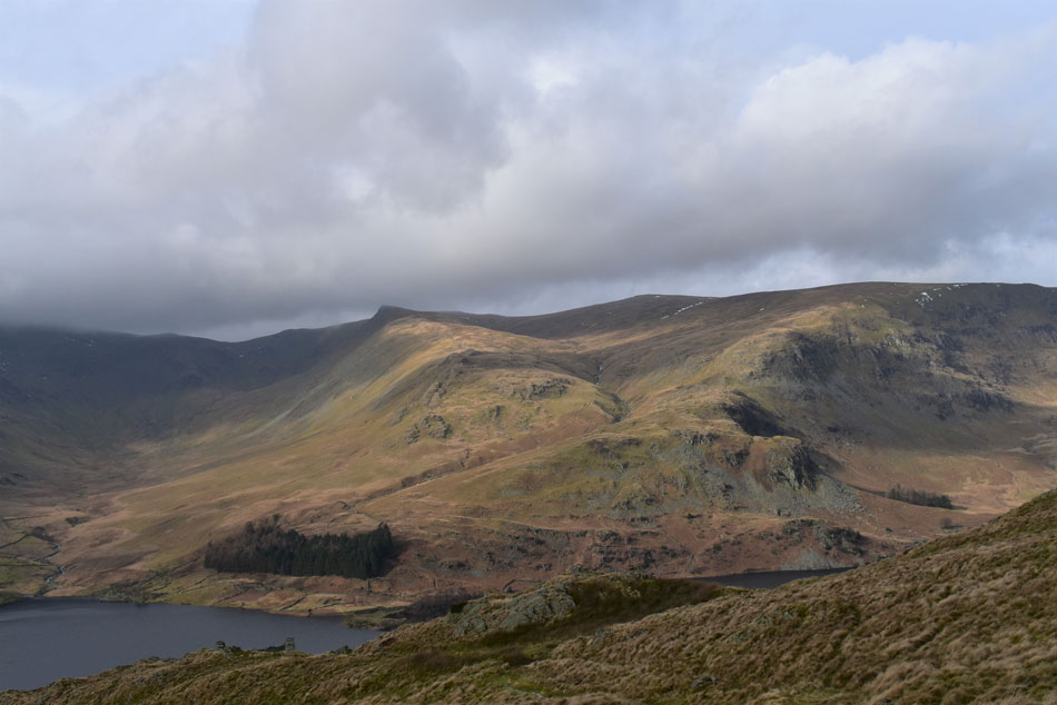
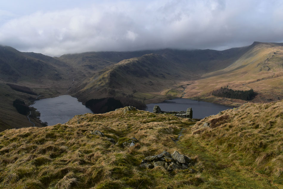
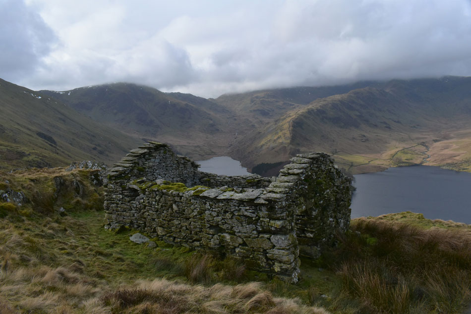
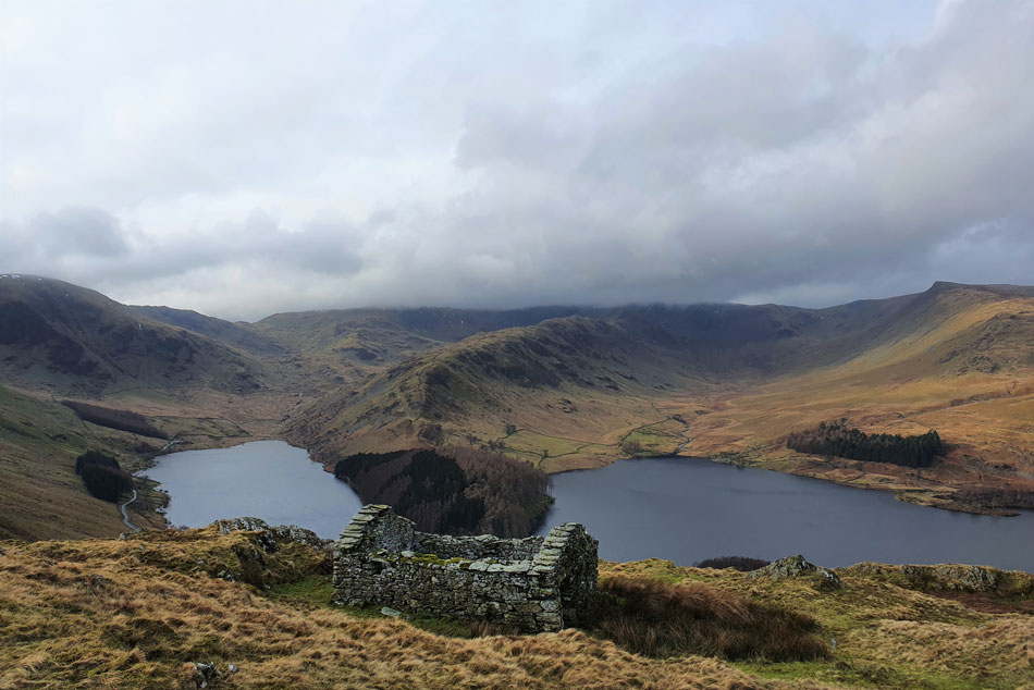
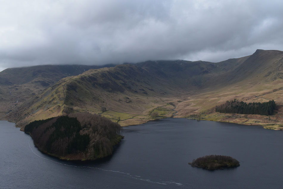
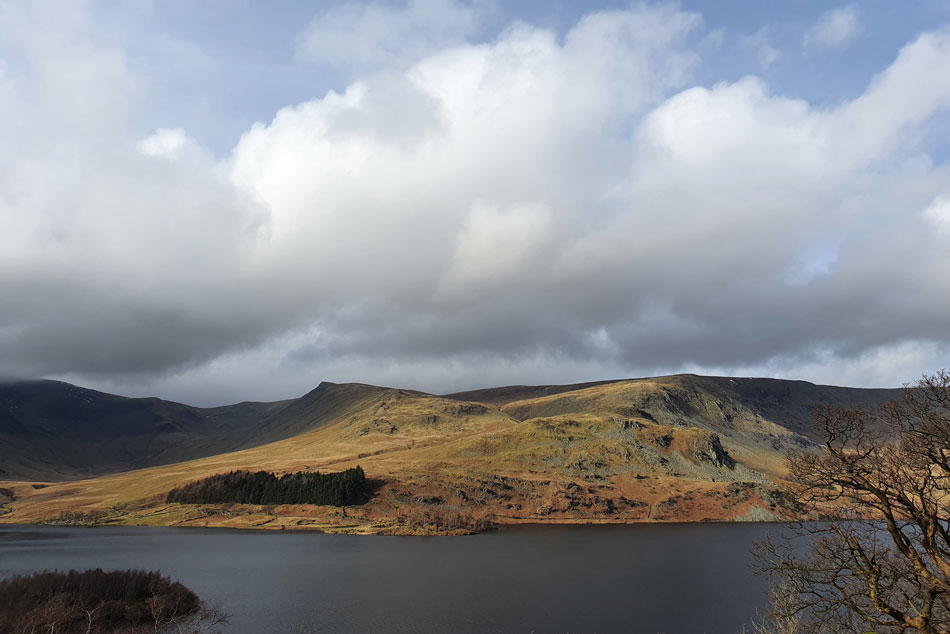
It's a steep start ascending alongside Rowantreethwaite Beck but the view of High Street over the shoulder warrants plenty breaks. Once Branstree north ridge is gained the slog continues, pathless in many aspects over hummocky ground until the fine towers on Artle Crag appear before the final march to Branstree summit. With a good deal of the hard work behind me it's a grand descent over Artle Crag passing the Haweswater survey tower before the slight ascent on High Howes, the finest approach to Selside Pike there is. From Selide Pike I pick up the Old Corpse Road passing the picturesque ruined Peat Huts before descending back to Mardale.

 
Wainwright Guide Book Two
The Far Eastern Fells


-Selside Pike

One of the lesser-known fells is Selside Pike on the eastern fringe of the district, commanding the head of the shy and beautiful little valley of Swindale.


Overview
Ascent: 1,725 Feet - 526 Metres
Wainwrights: 2, Branstree - Selside Pike
Visiting: 2, Artle Crag - High Howes
Weather: Cloudy With Some Brightness Towards Late Morning. Highs of 10°C Lows of 4°C Freezing Over The Summits. Max Wind Speed 25mph
Parking: Roadside Parking Close to Rowantreethwaite Beck
Area: Far Eastern
Miles: 6.3
Walking With: On My Own
Ordnance Survey: OL5
Time Taken: 3 Hours
Route: Mardale - Rowantreethwaite Beck - Branstree North Ridge - Branstree - Artle Crag - Survey Pillar - High Howes - Captain Whelter Bog - Selside Pike - Selside End - Old Corpse Road - Rowantreethwaite Beck - Mardale
 

Parking Details and Map
Nearest Post Code: CA12 2RP
Grid Reference: NY 479 119


Map and Photo Gallery


Bridge over Rowantreethwaite Beck, Mardale 08:40am 6°C

Debris and flowing water had littered the lanes from as far back as Shap, no doubt the results of the prolonged downpours Cumbria has been experiencing as of late, thankfully, no real damage. I managed to park easily at the parking spaces at the bottom of the Corpse Road and kited up as a wind howled around me. For the first time this Winter I'm wearing my regular Montane walking trousers and not the Mountain Equipment Winter trouser I've worn throughout Winter, it was a decision I was starting to regret.

With my hat and gloves added I locked the car and made my way towards Rowantreethwaite Beck which was heard well before I arrived. The beck was in spate the sound of which would accompany me until I reached the ruined Peat Hut 400ft above me.


The Rough Crag ridge, High Street, Riggindale, Kidsty Pike and High Raise (Martindale) seen beyond Haweswater.
The ascent is steep but eased by the zigzagged path cut into the fell side, to take my mind of the steepness I stopped (a lot) to take in this fantastic view of High Street who's summit was layered in cloud, a view that wouldn't change for the duration.

The Rigg and the Rough Crag ridge.
Despite the car park being almost full at Mardale Head I couldn't spot anyone ascending the Rough Crag ridge this morning.


Ruined Peat Hut, top of Hopegill Beck.
With a view of Kidsty Pike and High Raise beyond.

Brown Howe from the top of Hopegill Beck.
It's a much better forecast towards the far east as low cloud continues to surround the Mardale fells.

Deer are sighted, Branstree North Ridge.
The far east of the park is where you're more likely to spot Deer but even that can be rare so you could imagine my delight when a herd of fifteen passed ahead of me. A narrow path can be followed which leads along the right of the ridge which offers great views over Mardale Head before a very steep climb towards Branstree summit but I won't be following said path, instead I'm taking a direct ascent off the ridge right up the middle which is far less steeper.

Looking back on Haweswater.
With Wood Howe island in the foreground.

Deer close up.
After I'd ascended the ridge above the general location of the last sighting of the Deer the Deer came back, first one, then two together most of which bucked/skipped as they passed. The whole sighting lasted for a minute until the last passed which was when I took this photo. What a fabulous sight!

Not far from the summit now.
With Artle Crag off to my left the summit is just minutes away, pity the cloud has come down though.

Familiar wall, Branstree summit.
Far gone are the feelings of Spring it looks (and feels) like Winter has just returned with a piercing windchill to boot. Flipping eck no point hanging around as I turn heel and head for Artle Crag.

Stone Columns, Artle Crag.
On a clear day my next objectives of High Howes and Selside Pike would be seen beyond Artle Crag but the cloud is making short work of any long distant views this morning.

High Howes (right) and Selside Pike (left) come into view.
There is a second path towards the left which avoids High Howes altogether but I much prefer Selside Pike via High Howes.

Survey Pillar found between Branstree and High Howes.
 

Looking back on Artle Crag/Branstree from the two unnamed tarns between Branstree and High Howes.
Finding the narrow path between the tarns especially wet and boggy today.

Fine views.
Of Tarn Crag (right) Grey Crag (centre) and Harrop Pike (left)

Selside Pike beyond Captain Whelter Bog.
It's just a case of hopping over the fence, then trying not to sink in the bog before the mornings last summit is reached.

Selside Pike fine summit shelter.
After an easy ascent I arrived at Selside Pike summit half expecting to find a fellow walker in the shelter after spotting movement at the summit during my ascent, well, seems I was wrong.

Leaving Selside Pike with views of Hare Shaw and Swindale.
As I make my way towards the Old Corpse Road.

Swindale.
I left the path to take in this view of Swindale, a valley that seems untouched by time.

Mardale Head from the Old Corpse Road.
Despite the cloud this view still has the wow factor!

Close up of Small Water, Mardale III Bell, High Street and Rough Crag.
 

Kidsty Pike, High Raise (Martindale) Low Raise and Castle Rock.
Taken as I approached the ruined Peat Huts on the Old Corpse Road.

Fabulous view.
Even the sun is trying to come out.

Harter Fell (Mardlae) The top of Nan Bield Pass, Mardale III Bell and High Street.
From the ruined Peat Huts, Old Corpse Road.

Same view.
Taken from my mobile.

Mardale III Bell, High Street, Riggindale and Kidsty Pike.
With Wood Howe island seen right.

Kidsty Pike (left) and Castle Crag (right)

By the time I arrived back at the car the sun had come out leaving the valley feeling Spring like again but sadly cloud still lingered over High Street and its surrounding summits but with clearing skies above it won't be for long.

With my car reached I kit down finding my boots now weighing twice as much due to the saturated ground underfoot, but, all of that will be forgotten hopefully when Spring arrives, the ground starts to dry up and each walk is accompanied by the sound of Lap Wings and gentle warm breezes.


Back to top