Scandale, Red Screes and Snarker Pike

20th June 2020

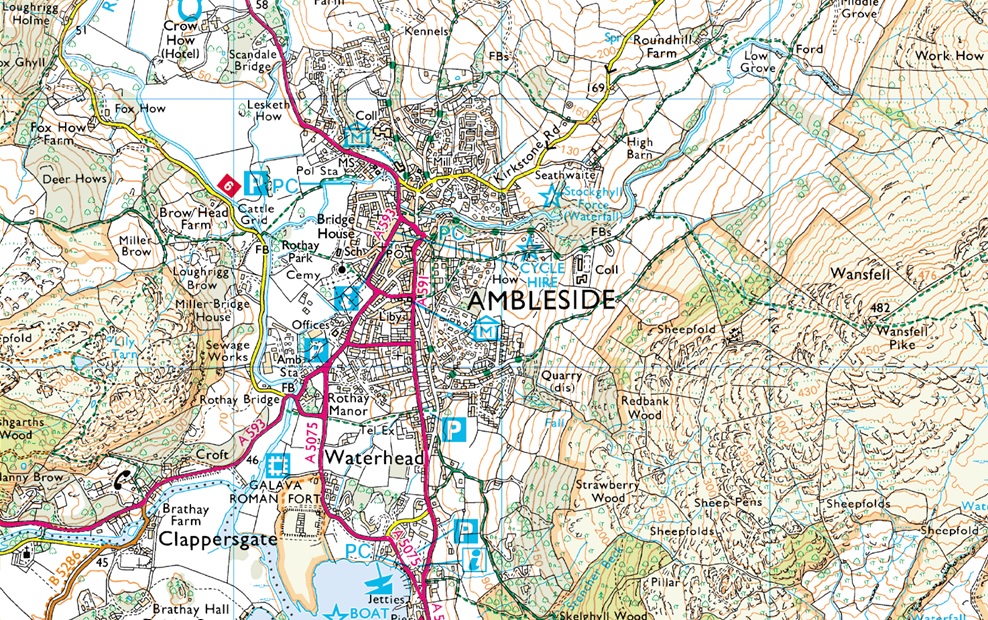
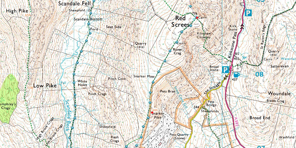
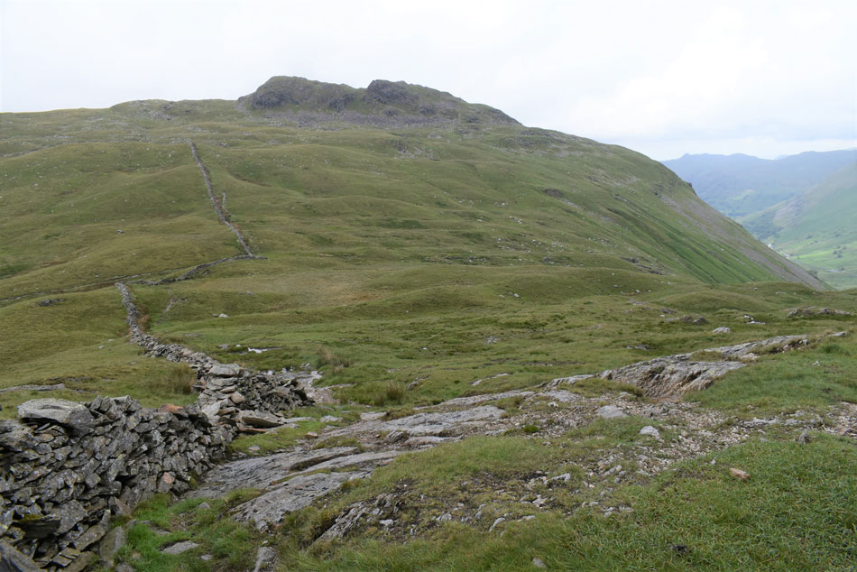
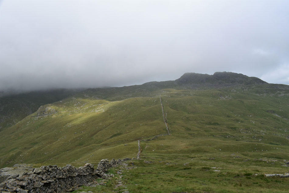
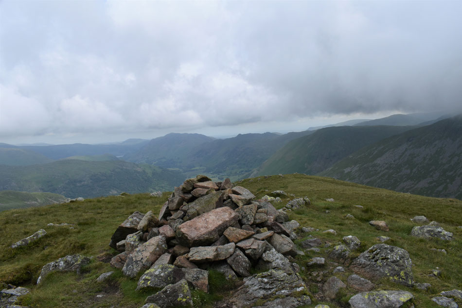
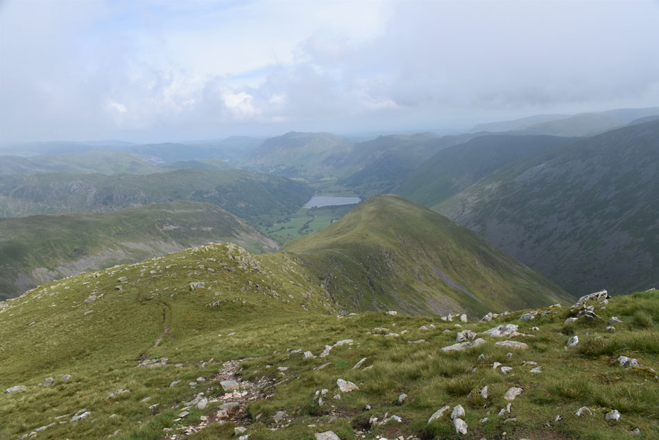
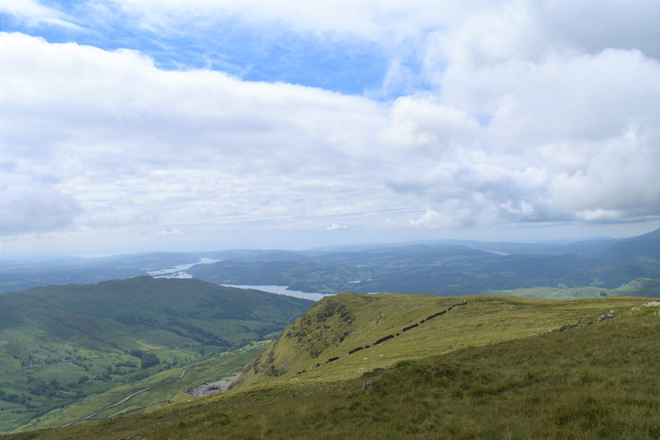
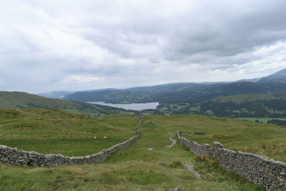
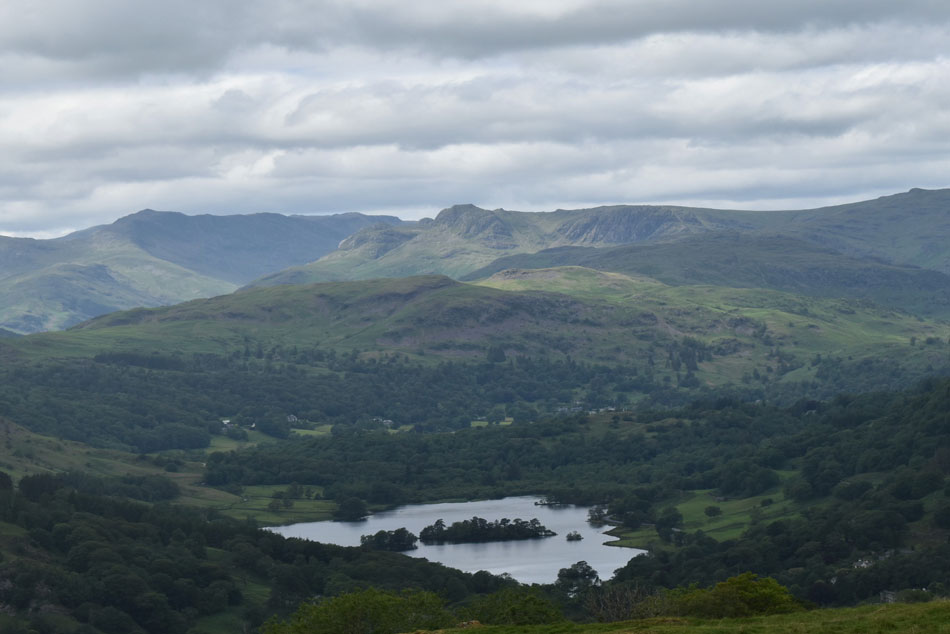
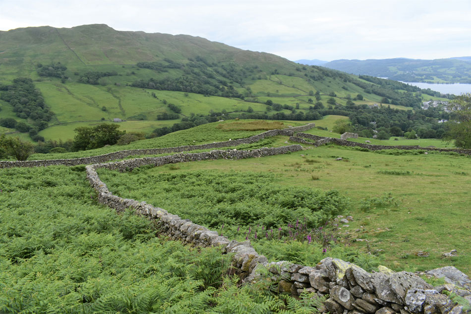
I came up with many inspirational walks during lock down all of which I tried to write down the moment they entered my head, some were full planned walks, others were the names of summits I wanted to revisit. Red Screes was one of those summits I just needed a route that I hadn't used before which was when I came up with this route. I have only ever looked down on the Scandale Valley which you get a great view of from Little Hart Crag, Dove Crag or best of all from Scandale Tarn.

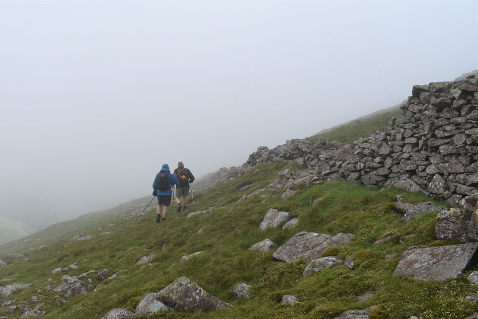
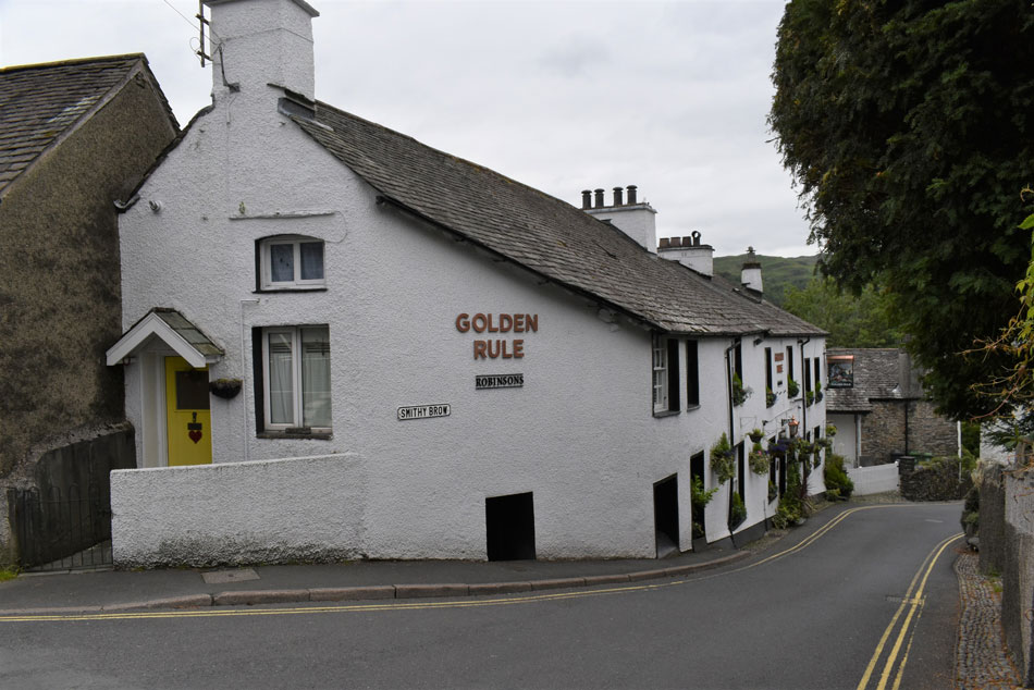
It was whilst kitting up last Sunday morning in Eskdale did I suggest the route to Rod who was well up for it, all that was left was to ask David who coincidently had also been thinking about planning a walk on Red Screes so there we had it, the three amigos were back.

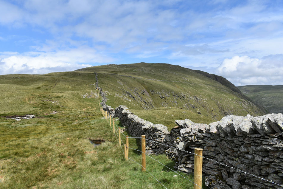
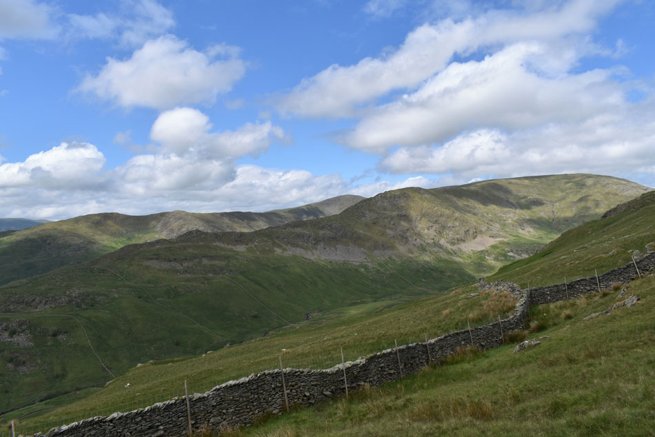
The last time we were all together was March 14th when we walked Hallin Fell and Steel Knotts so it's fair to say despite emailing each other sometimes daily we had a fair bit of catching up to do. Todays walk took us just over six hours but I reckon it could easily be done in five if we hadn't stopped so many times while putting the world to rights.

 
Wainwright Guide Book One
The Eastern Fells
Red Screes It is independent and is unsupported, not buttressed by its neighbours: to this extent, it may be said to have the purest mountain form among the eastern fells.
 

Overview
Ascent: 2,564 Feet - 782 Metres
Wainwrights: 2, Middle Dodd - Red Screes
Visiting: Snarker Pike
Weather: Rain To Start, Easing Towards Late Morning With Bright Spells PM. Highs of 19°C Lows of 11°C
Parking: Low Fold Car Park, Ambleside
Area: Eastern
Miles: 8.5
Walking With: David Hall & Rod Hepplewhite
Ordnance Survey: OL5 & OL7
Time Taken: 6 Hours 10 Minutes
Route: Old Lake Road, Ambleside - Sweden Bridge Lane - Scandale - Scandale Pass - Middle Dodd - Smallthwaite Band - Red Screes - Snarker Moss - Snarker Pike - Kirkstone Road - Old Lake Road Ambleside
 

Parking Details and Map for Ambleside
Nearest Post Code: LA22 0EN
Grid Reference: NY 376 303
Notes: Waterhead car park - Leave the A591 for the A595 Borrans Road as you enter Ambleside, Waterhead Car Park is just on the right opposite Wateredge Inn.
Rydal Road – A large long-stay car park on the left as you leave the town centre northwards towards Keswick .
Lake Road – As you go south from the centre (entrance on right just past ‘Adventure Peaks’)
Low Fold - Head south on Lake Road on the left
Kelsick Road – A short-stay car park opposite the Public Library.
Rothay Road, Miller Field – on left as you enter the town centre from the south.


Map and Photo Gallery


The Old Bark Mill over Stock Ghyll, Ambleside 8:05am 14°C

We met at Low Fold car park under brooding skies from which a downpour looked imminent, had we have known we were in for a soaking perhaps we would have chosen a walk to suit the forecast which had changed at the last minute but what the hey, we're here now and more important than that, we were back together after three months apart.

Despite the looming drizzle it was a very mild morning and to be honest the last thing we would have wanted was to add layers but we had no choice if we were to stay dry, in fact Rod left the car park wearing a short sleeved mid layer while David and I opted for soft shell jackets and soon I felt like I was producing steam between the layers. It was still dry as we walked up North Road towards Sweden Bridge Lane but the impending drizzle was in the air as the skies grew darker.


Ambleside roof tops with Todd Crag (Lilly Tarn) in the distance.
Here comes the rain...

Scandale Beck below High Sweden Bridge.
We left the quiet streets of Ambleside behind and the light drizzle soon turned into vertical rain by which point we were walking through woodland known as Rough Sides. The trees kinda gave us a limited amount of cover but not enough to prevent us from stopping to add waterproofs. The rain lingered a while longer but had stopped by the time we had reached High Sweden Bridge where we left the path to have a closer look.

Low Brock Crags, Scandale.
To add to the rain, low cloud flanked the valley which, after a week of blue skies was actually quite nice to see. If the forecasters are correct the cloud should lift within the next few hours.

Scandale Valley.
Looking towards Low Bakestones ahead with High Bakestones below cloud.

Looking back through Scandale.
I'd anticipated Scandale to be quite wet underfoot hence why I was wearing long trousers today but it was surprisingly dry and not as boggy as first thought. Once past the sheepfold seen in the centre of the photograph we started the mild to moderate ascent towards the top of Scandale Pass.

Red Screes from the top of Scandale Pass.
The low cloud lingered but during our ascent it was starting to lift - even if it was very slow. It's around mid-morning now and I remarked that it actually felt like we'd only been walking for less than an hour which I can put down to all the gabbing we'd been doing.

A male Kestrel is spotted close to the top of Scandale Pass. © Rod Hepplewhite

David spots a raptor from a distance of about 50 yards, from this distance we couldn't see what breed of raptor it was at first except that it was a raptor which appeared to be eating something, after a few minutes it flew away but not before Rod had taken out his camera and on full zoom took this image. We walked over afterwards to take a closer look and found the intestines from a small animal left on the rock.

Full credit to David for spotting the Kestrel and to Rod for photographing it.


Looking back over the top of Scandale Pass towards Little Hart Crag.

We weren't heading straight for Red Screes and had opted to include Middle Dodd which meant a pathless traverse along Red Screes north shoulder. Finding where to leave the path would have been much easier had the cloud not been so low which totally obscured both Middle Dodd and Red Screes summits which added a little confusion over our position at times

Pesky cloud!


Still climbing...
As I look back towards a spot of sunlight close to Scandale Tarn.

Cloud dramatics.
Between High Pike (Scandale) and Dove Crag.

Heading towards Middle Dodd by the ruined stone wall.
We continued our traverse and located the ruined stone wall which will lead us towards Smallthwaite Band and Middle Dodd. Conditions underfoot are quite tricky given the steep angle of the fell side and boulder to negotiate. David and Rod are reminded of the time they took this route in knee deep snow where afterwards they had felt totally drained, I'm not surprised it's tough going underfoot even in todays conditions.

St Raven's Edge beyond Red Screes North Ridge.
Very atmospheric indeed.

Middle Dodd summit.
The stone wall lead us out onto Smallthwaite Band from which Middle Dodd was just a short distance away after a short pull up. Probably for the first time since returning to fell walking after lock down today was the busiest we'd seen the fells and Red Screes certainly was proving to be the popular fell choice which kinda brought a feeling of normality to the walk even if things haven't returned to normal in the real world.

The big question is...
...will the cloud clear before we reach Red Screes summit?

Looking back on Smallthwaite Band towards Middle Dodd.
I think we have our answer.

Views over the top of Scandale Pass.
Towards Little Hart Crag, Dove Crag and Hart Crag.

Red Screes summit.
The wind had picked up by the time we had reached Red Screes summit but the good news was the cloud had completely cleared and was starting to lift from nearby summits too.

John Bell's Banner on Caudale Moor.
 

"Who's took the plug out of Red Screes Tarn"
This was the first time we'd seen the tarn so low and David made a little joke out of it, incidently the tarn is nameless but Red Screes Tarn is fitting given its proximity to the summit.

The top of Kirkstone Pass and The Struggle from Red Screes summit
Notice how the car park opposite Kirkstone Pass Inn remains closed.

Snarker Pike, Windermere Esthwaite Water, and Coniston from Snarker Moss.
We stopped to have lunch behind a stone wall which gave shelter from the summit winds which by now were starting to strengthen. That's Snarker Pike over on the left of the ridge with Pets Quarry seen below.

Red Screes from Snarker Pike.
You wouldn't have thought it was the same day after leaving Ambleside just a few hours earlier.

Distant views over Loughrigg towards the Coniston Fells and Great Langdale Fells.
With Rydal Water and a hint of Grasmere seen below.

Views over Scandale towards Nabb Scar, Heron Pike, Great Rigg, Dove Crag and High Pike.
Or to me and you, the Fairfield Horseshoe, it's such a pity that High Pike and Dove Crag are hiding Fairfield but still a striking view nonetheless.

A distant Windermere.
As we continue our descent towards Kirkstone Road between the familiar twin stone walls above Scandale.

Bow Fell, the Langdale Pikes and Sergeant Man seen beyond the Silver How, Lang How and Blea Crag central ridge.
With Rydal water seen below.

Wansfell.
Nearing reality as the sound of traffic travelling up and down The Struggle to and from Amblseside fills the ears.

The Golden Rule, Ambleside.

We left the fell side and started our walk back to Ambleside via Kirkstone Road which lead us past what should have been a busy Golden Rule made famous by the legendary fell walkers such as climbing legend Harry Griffin. From the Golden Rule we walk back into Ambleside where despite many of the shops and cafes remain closed the pavements are busy with tourists who look through shop windows.

We took in the slight ascent from the main street back onto the Old Lake Road where I take in the view over Ambleside once more before arriving back at our cars and layers and boots are removed. Things are far from normal right now but as David had put it earlier, todays walk was the first time he'd felt a sense of normality had returned but I don't think he wasn't just talking about the affects of lock down, I think he was referring to the drizzle and low cloud earlier which when you think about it, made a lot of sense.


Back to top