|
Cat Bells to High Spy |
 |
 |
4th October 2020 |
 |
|
It always pays to have a plan B especially at this time of year when the forecast can change at the click of a finger, well that's what happened today only instead of it changing for the worse, it changed for the better.
I'd originally set out to walk the Black Sails ridge and Wetherlam but after checking the forecast at 5.30am this morning the forecast had changed to overcast cloud which would only clear around lunchtime, after a quick scroll through the Met Office's weather App it looked like the north, and north western parts of the district would see more sunshine from the off and that's when my plan B kicked in.
I say plan B...this route means more to me than a plan B walk, it's more of a 'go to' walk, similar to how I would describe my fondness for High Street for it was this walk many years ago which gave me the inspiration to start my website so you could say Newlands is up there alongside Mardale Head in terms of places that are sentimental to me. |
|
| Wainwright Guide Book Six |
 |
| The North Western Fells |
Words cannot adequately describe the rare charm of Catbells, nor its ravishing view. But no publicity is necessary: its mere presence in the Derwent water scene is enough.
|
 |
|
|
|
| |
|
Overview |
|
|
| Ascent: |
2,143 Feet - 653 Metres
|
| Wainwrights: |
3, Cat Bells - Maiden Moor - High Spy
|
| Visiting: |
Skelgill Bank |
| Weather: |
A Bright Autuminal Day On The Fells. Breezy Over The Summits. Highs of 16°C Lows of 12.5°C |
| Parking: |
Parking Spaces, Gutherscale |
| Area: |
North Western |
| Miles: |
9 |
| Walking With: |
On My Own |
| Ordnance Survey: |
OL4 |
| Time Taken: |
4 Hours 45 Minutes |
| Route: |
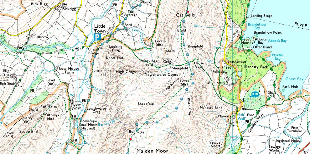
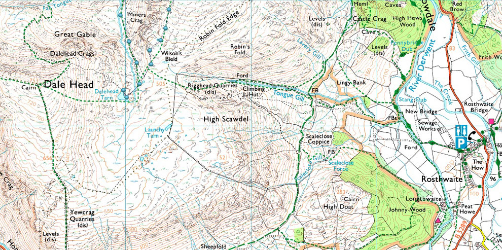
Gutherscale - Skelgill Bank - Cat Bells - Hause Gate - Maiden Moor - Narrow Moor - Blea Crag - High Spy - Dalehead Tarn - Newlands Beck - Newlands Valley - Little Town - Skelgill - Gutherscale
|
|
| |
|
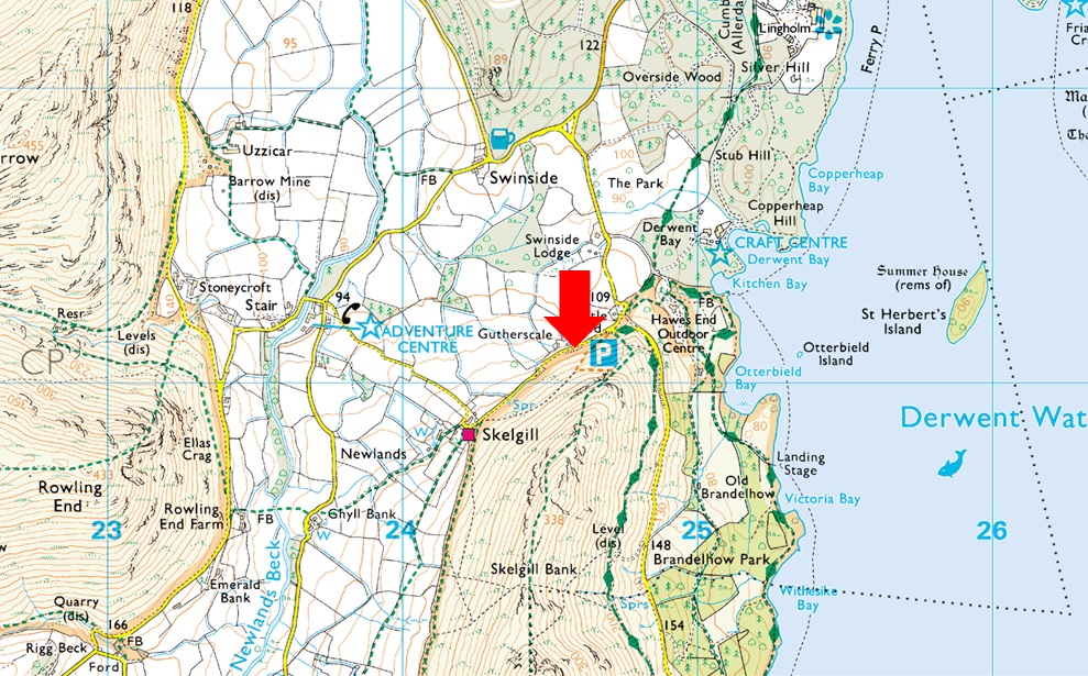
Parking Details and Map |
|
|
| Nearest Post Code: |
CA12 5UE |
| Grid Reference: |
NY 246 121 |
| Notes: |
There is room for around ten well parked cars at Gutherscale which is perfectly postioned for a quick walk up Cat Bells or a full day on the Newlands Fells. Leave the A66 for Portinscale and pass through the village before the entrance to Nicol End (Derwent Water) appears on the left, continue to follow the road which forks right signposted (Stair and Newlands Valley) Keep left here and continue to follow the road which sweeps around a right hairpin bend before passing over a cattle grid. The parking spaces will appear around 300 yards further on the left. Parking is free. |
|
| |
|
Map and Photo Gallery |
|
|
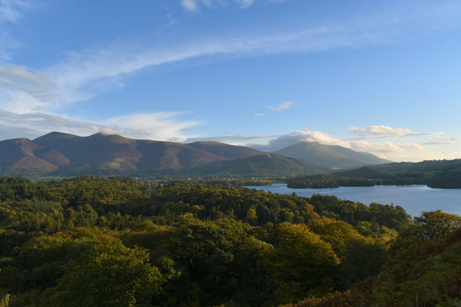 |
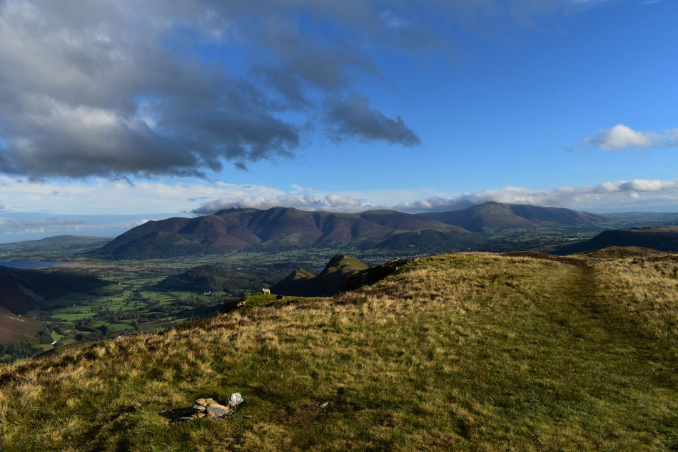
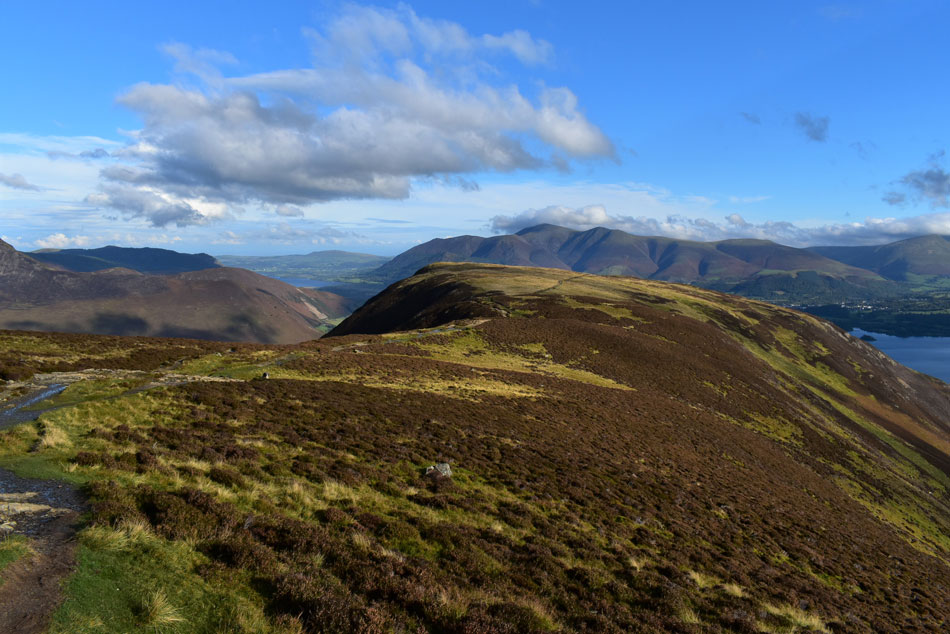
| Skiddaw, Latrigg and Blencathra seen beyond Overside Wood and Derwent Water 8:15am 16°C |
This is in effect the calm after the storm which had put down its fair share of rain over the last 24hrs but you wouldn't think it given this morning's whopping 16°C temperature aided by the slightest of breezes. I managed to park with no problem at Gutherscale finding a camper van and two other cars there already. The road between Hawes End and Skelgill is notorious for flooding and after yesterdays prolonged heavy rain it flowed like a river leaving debris scattered in its wake.
Kitting up was made especially difficult and I couldn't even put my boots on the ground without my laces taking a soaking but I could put up with it given how mild and bright the morning is. Within minutes of locking the car I set off up the steep bank and instantly felt my hamstrings groan, it figures my body hasn't completely recovered from the Eskdale Horseshoe I completed two weeks ago. My view instantly opened out over Overside Wood towards a cloud topped Skiddaw Little Man and Blencathra, come here in another week or so I said to myself, and the woods below would be in full autumnal glow. |
 |
| Looking back towards Rowling End, Causey Pike, Outerside and Barrow. |
| |
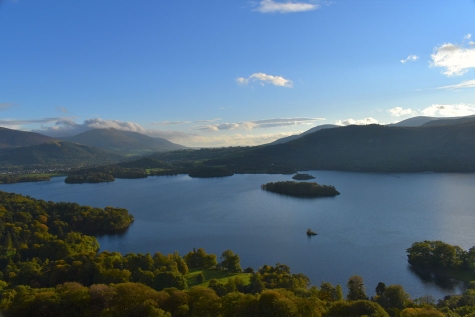 |
| Latrigg, Blencathra and Bleaberry Fell seen beyond Derwent Water. |
| There's actually five Islands in this photo with St Herbert's Island in the centre, Rampsholme Island beyond, while to the left is Lord's Island and Derwent Isle and not forgetting Otterbield Island which is the tiny island seen in the foreground. |
 |
| Looking west towards Rowling End, Causey Pike, Scar Crags, Sail, Crag Hill (Eel Crag) and Wandope. |
| With Ard Crags and Knott Rigg seen over on the left. |
 |
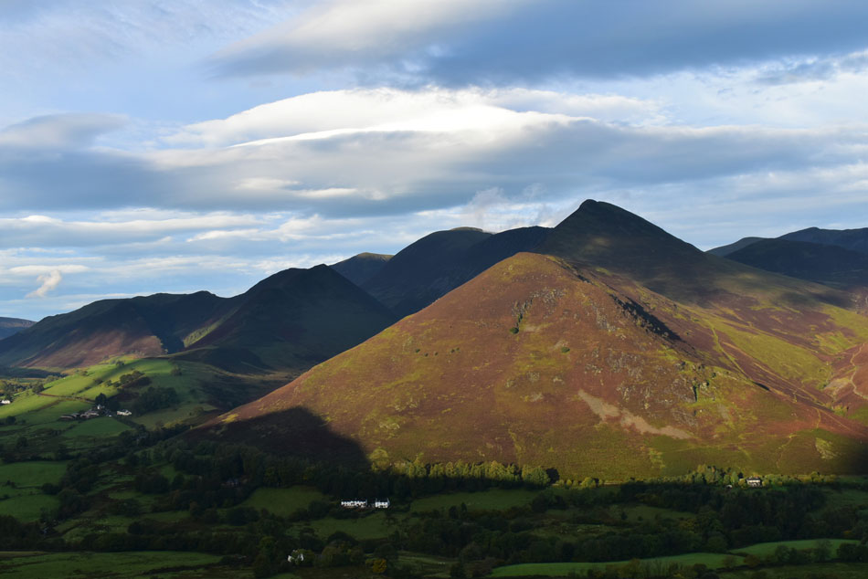
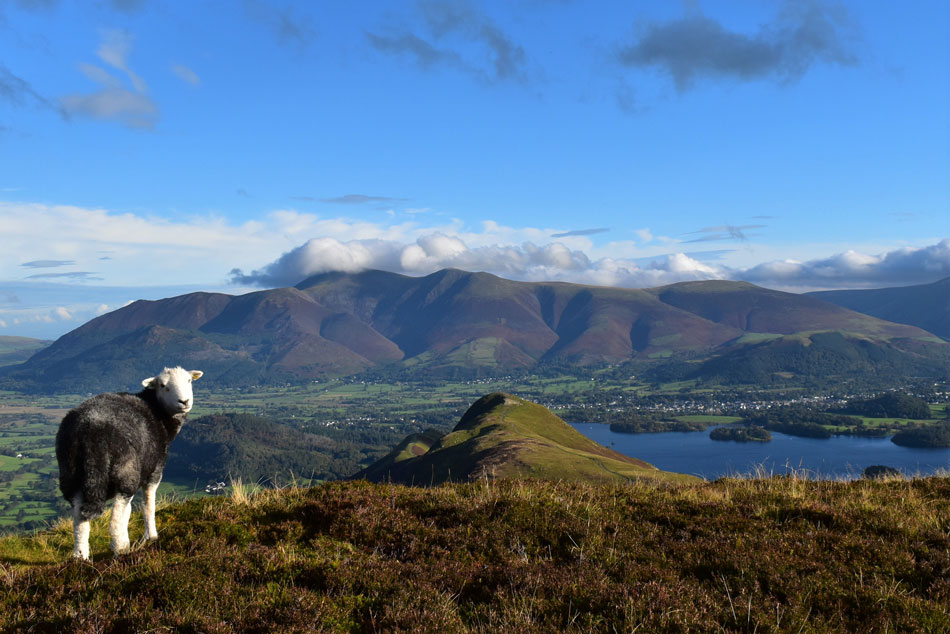
| Cat Bells, Hindscarth and Robinson from Skelgill Bank. |
| Cat Bells is known for how busy it gets but if you arrive early enough you might have the whole ridge and summit to yourself just as I have this morning. |
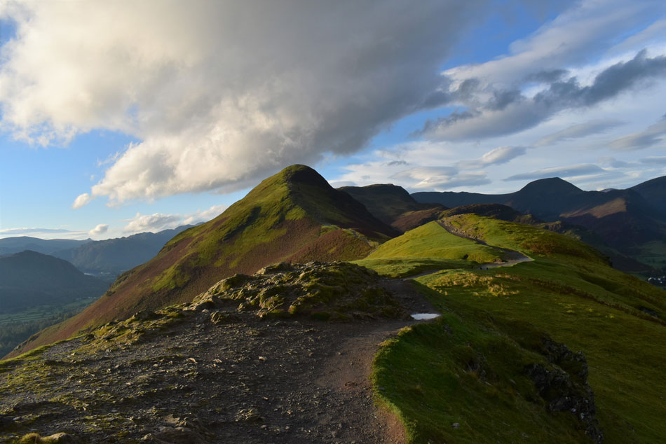 |
| Cat Bells, Hindscarth and Robinson from Skelgill Bank. |
| The sun is starting to climb higher now leaving a wonderful light over the ridge, mind it's also dazzling my left eye too but that's a small price to pay. |
 |
| The view over Newlands towards a distant Dodd and Red Pike (Buttermere) |
| |
 |
| And the wider view. |
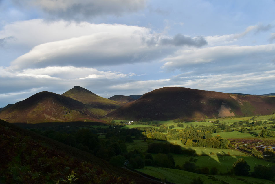
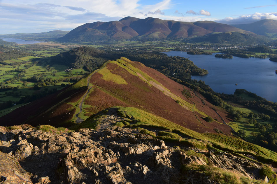
| Great Borne can be seen far left with Knott Rigg, Ard Crags, Whiteless Pike, Wandope, Crag Hill (Eel Crag) Sail, Scar Crags, Causey Pike and Grisedale Pike. For such a small fell Cat Bells shadow is leaving a big impression on the Newlands valley this morning. |
 |
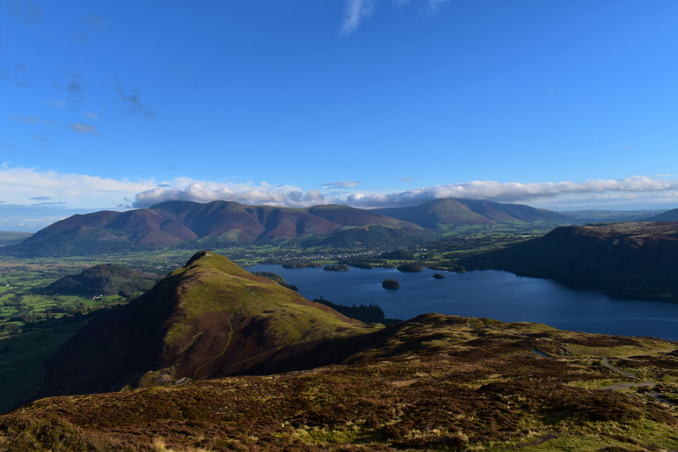
| Swinside, Bassenthwaite Lake, Skiddaw, Lonscale Fell, Latrigg and Derwent Water taken just below Cat Bells summit. |
| Can't get better than that. |
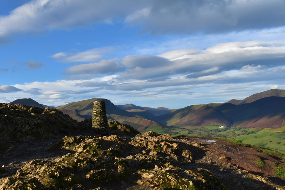 |
| Cat Bells summit. |
| I think this must be the first time I've actually had not just the ridge route but the summit to myself. You don't normally associate peace and tranquility with Cat Bells but that's just what I had this morning, what a view. |
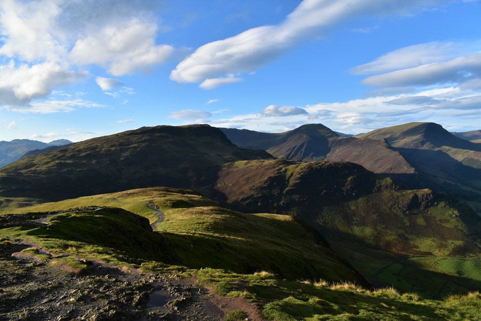 |
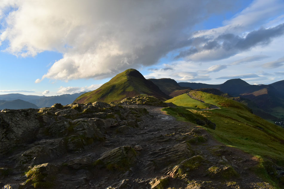
| Maiden Moor, High Crags, Hindscarth and Robinson from Cat Bells. |
| Time to leave Cat Bells now and head for todays next summit, Maiden Moor. |
 |
| Looking back towards Cat Bells. |
| Incredibly there's still no one at Cat Bells summit, but it won't be for long I guess. |
 |
| Hey up. |
| |
 |
| Cat Bells, Skiddaw and Blencathra from Maiden Moor summit. |
| Besides how wet the road was back at Gutherscale I'd remained relatively dry taking on Cat Bells but Hause Gate and the path during my ascent of Maiden Moor flowed like a river. It seemed I was never far from the sound of running water either underfoot or from the distant roar of Newlands Beck in the valley below. |
 |
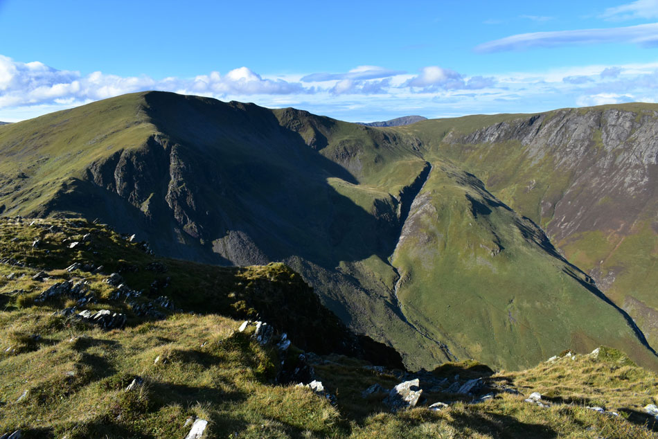
| The view over High Crags (Hindscarth) Blea Crags (Robinson) towards a distant Great Borne over 7 miles away. |
| Given there's a little cloud about the clarity is pretty clear this morning. |
 |
| High Crags and Squat Knotts on Hindscarth with Robinson behind. |
| Sunlight hasn't reached the valley floor as yet but it won't be long until it does. |
 |
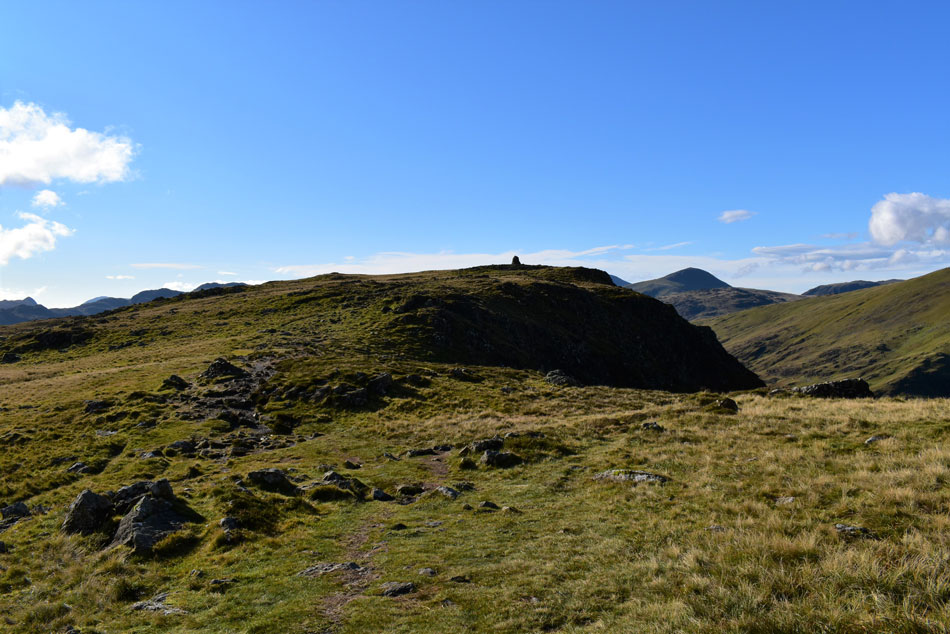
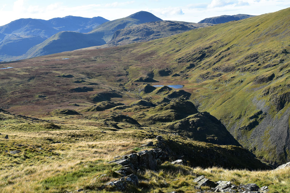
| Narrow Moor. |
| With little to no wind it looks like the sun is going to climb right into the path of that static cloud seen over on the left. |
 |
| A distant Skiddaw seen beyond Narrow Moor. |
| It looks like I'm a few weeks too late to enjoy the heather which is rife during September on Narrow Moor. |
 |
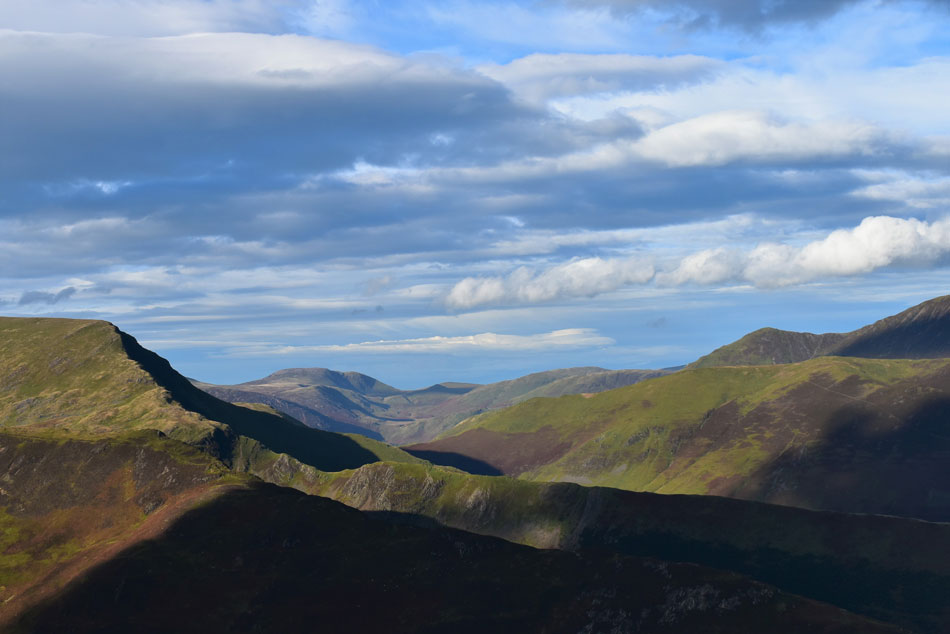
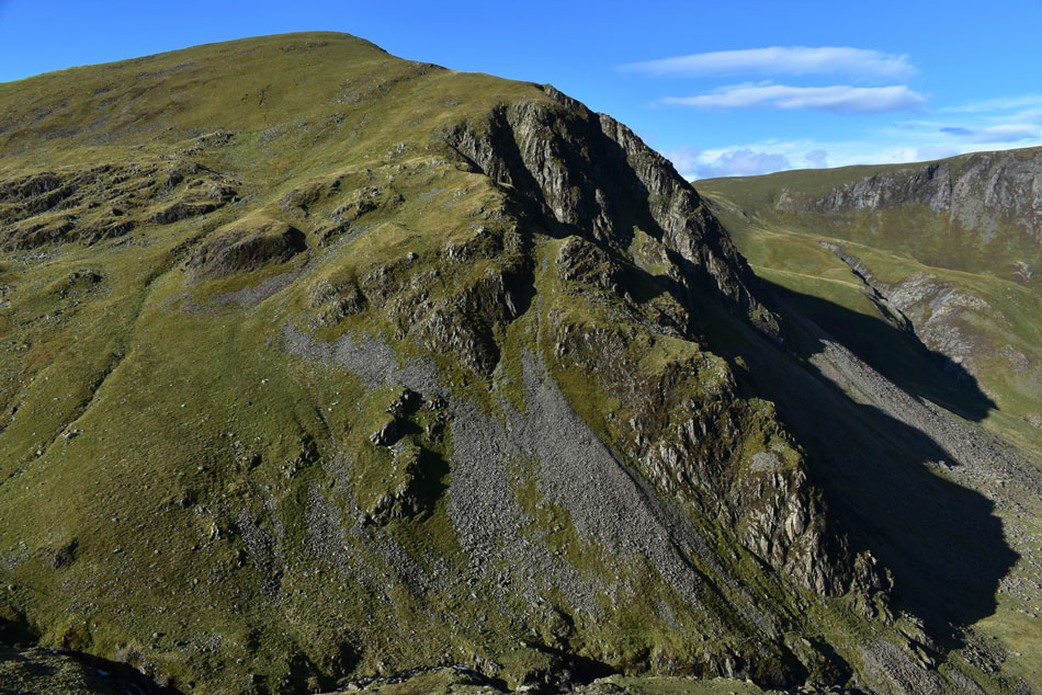
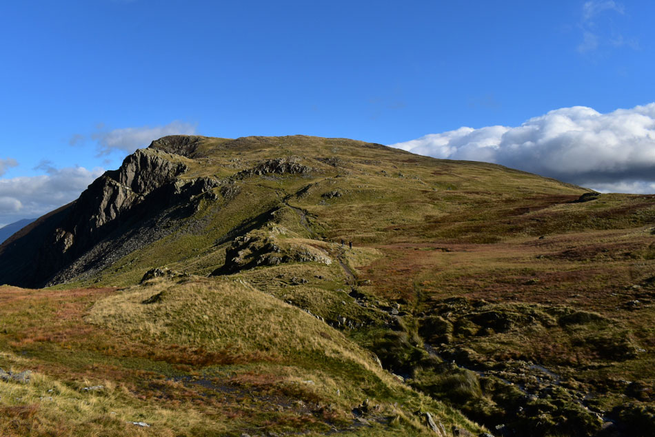
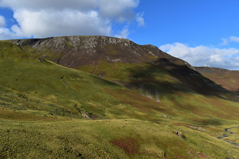
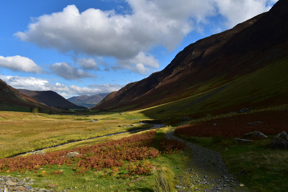
| High Spy summit comes into view with Great Gable and Kirk Fell seen over on the right. |
| The breeze had increased to a slight wind which caused me to roll down my sleeves on my midlayer. It was about here did I start thinking about changing the route and descend via Nitting Haws then return to Gutherscale via the Derwent Water lake path but which so much rain falling I hazard a guess the path might be flooded so I stuck to my original route. |
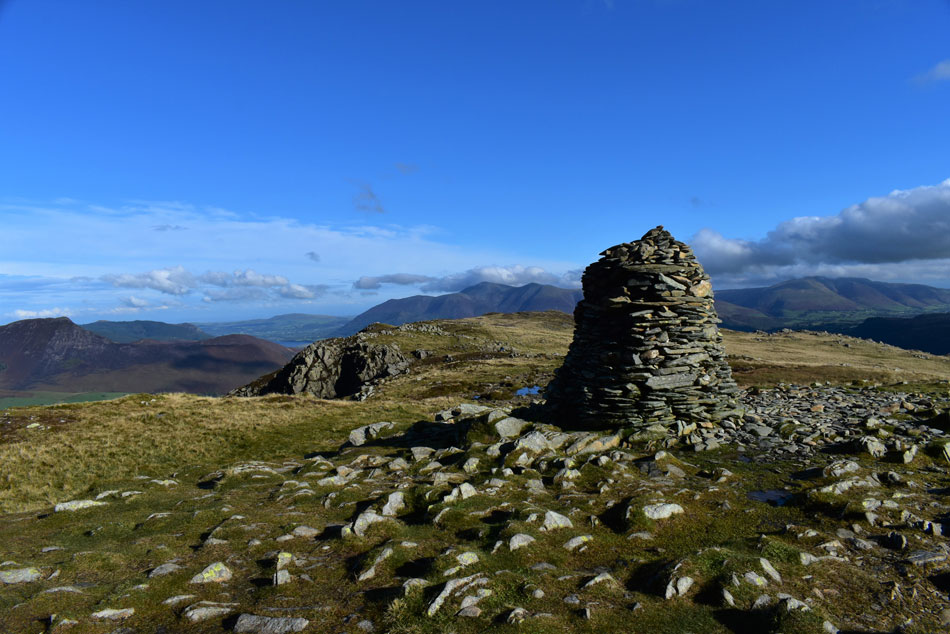 |
| High Spy summit. |
| With Causey Pike, Skiddaw and Blencathra in the distance, blimey the cloud is still down on Blencathra. |
 |
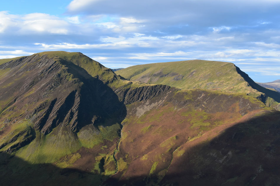
| Dale Head and Hindscarth from High Spy. |
| With Far Tongue Gill and Near Tongue Gill seen right. |
 |
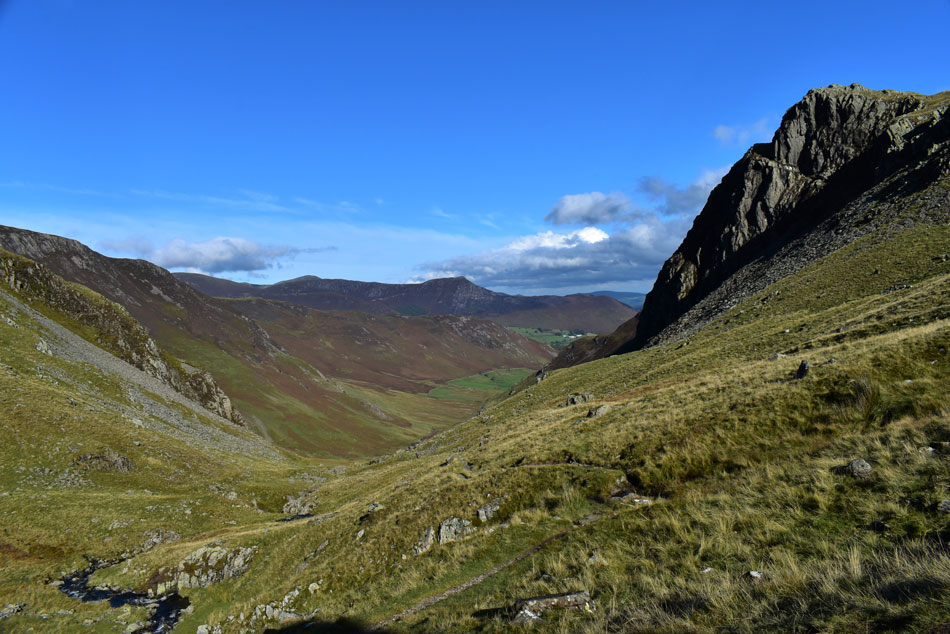
| Descending towards Dalehead Tarn. |
| With clear views of Great End, Broad Crag, Lingmell, Scafell Pike, Kirk Fell, Base Brown, Green Gable, Great Gable and finally Grey Knotts |
 |
| Dale Head, Dalehead Crags and Great Gable, |
| There isn't any signs of anyone on Dale Head yet but as I near Dalehead Tarn I can just about make out two figures. |
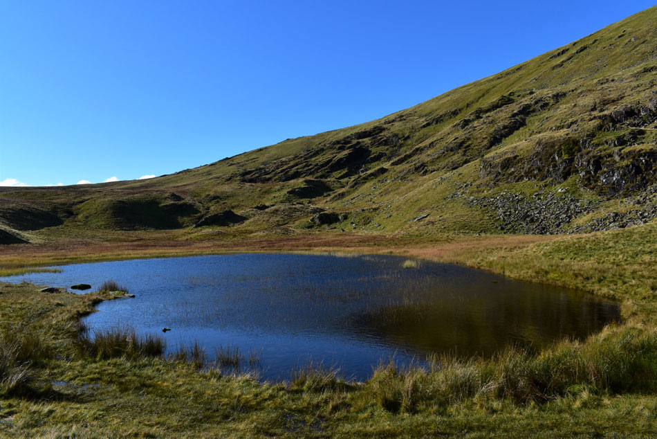 |
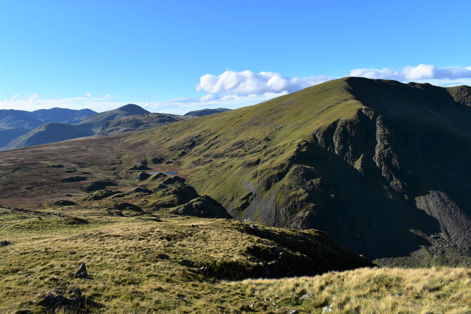
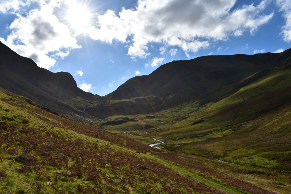
| Dalehead Tarn. |
| It doesn't look it but Dalehead Tarn must have been the 'meeting place' where upon arrival I pass a large group who are waiting to ascend Dale Head followed by a solo walker who appeared from nowhere and a second solo walker who appeared from the direction of High Scawdell, flipping eck all tranquility is lost but faces are friendly and the view of the tarn is warming. |
 |
| High Spy from Dalehead Tarn. |
| Time for a mini pork pie for breakfast me thinks. |
 |
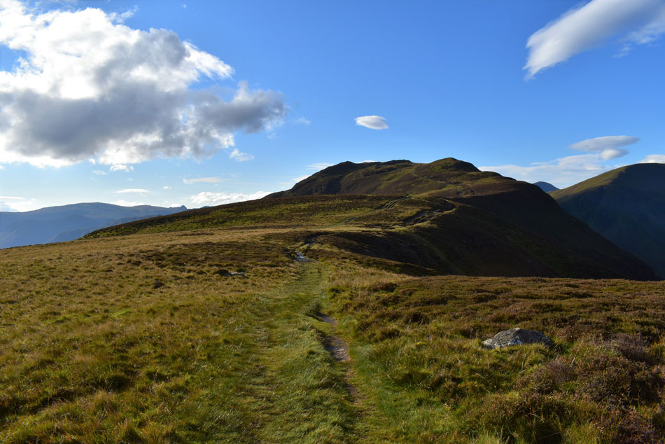
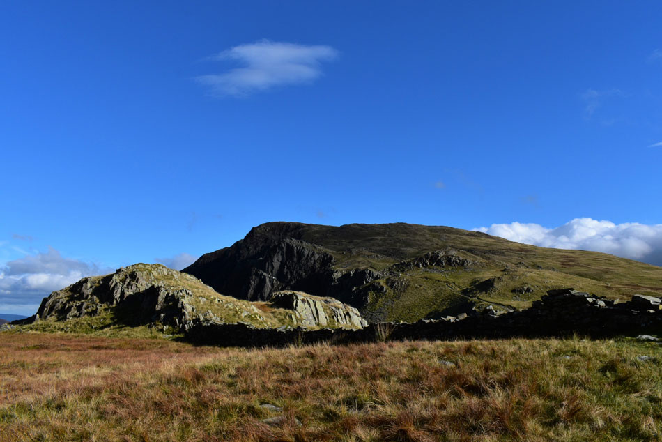
| High Spy. |
| Taken shortly before I cross Newlands Beck for the second time where care had to be taken as the familiar stepping stones were below fast flowing white water. |
 |
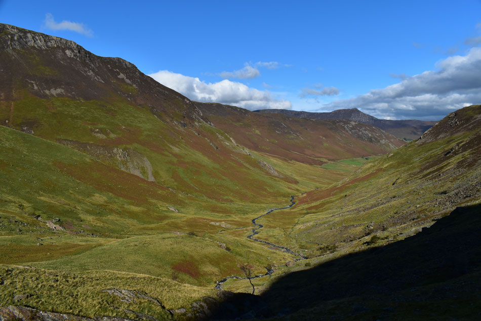
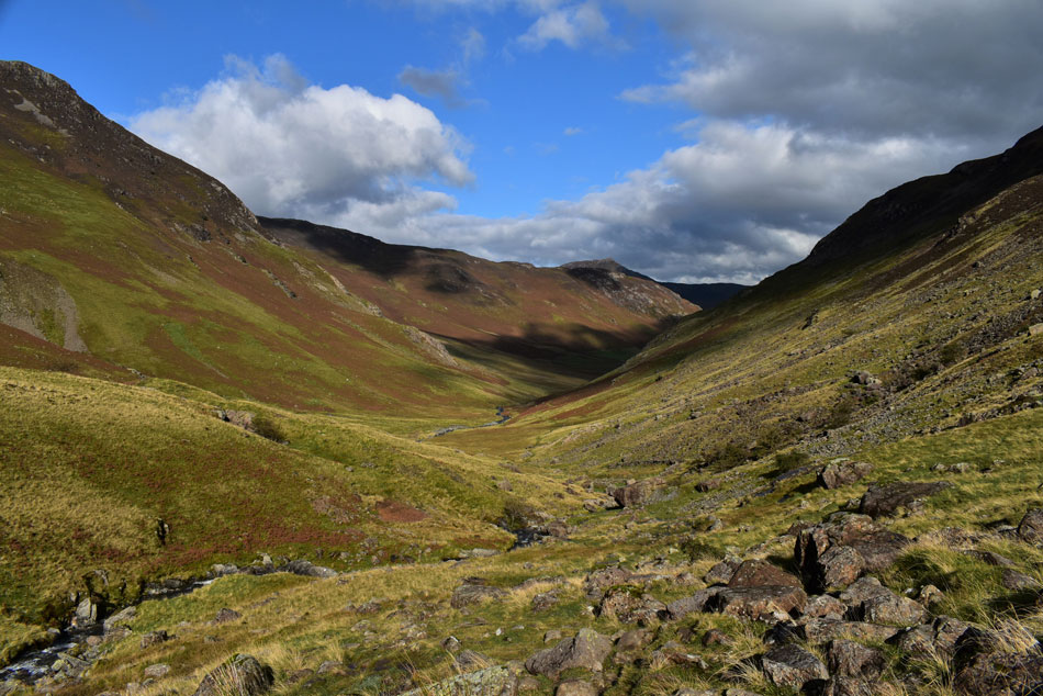
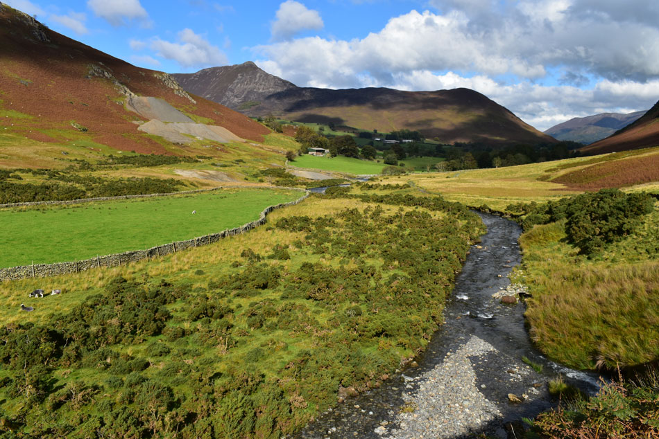
| A Distant Causey Pike from the head of the valley. |
| Walking the Newlands Valley is one of the best things you can do in the Lake District but getting to it from Dalehead Tarn requires patience as the path is rocky and in places, steep too. Shortly after taking this photo I pass another family who remarked how cold it was walking through the valley and that the shade made it even colder, well it looks like sunlight has penetrated the valley I replied and 'sheltered from the wind' it's gonna feel like Summertime down there. |
 |
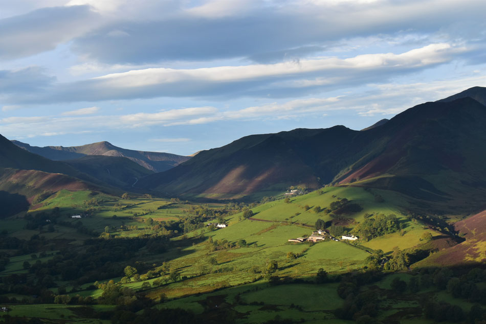
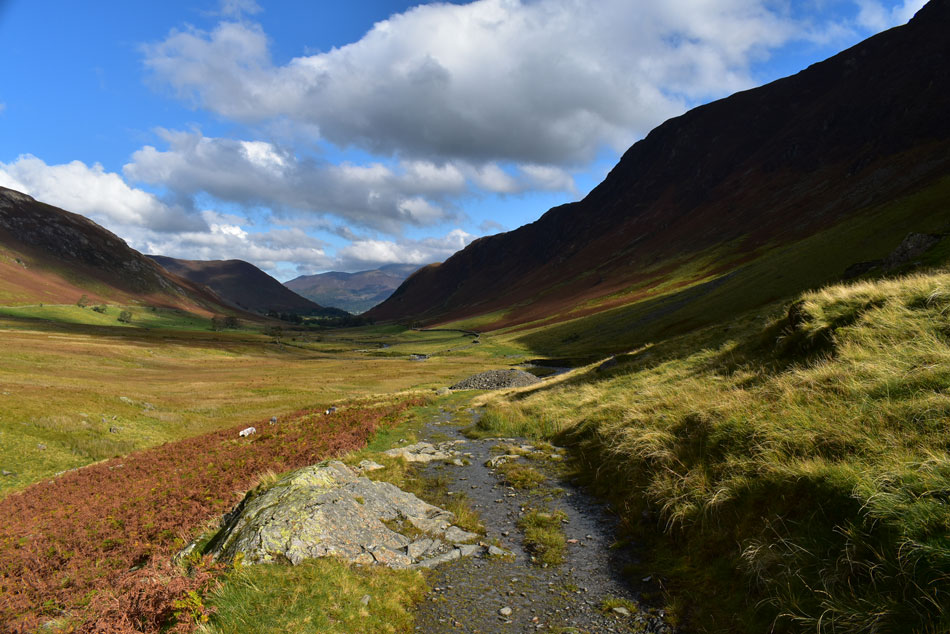
| Newlands. |
| |
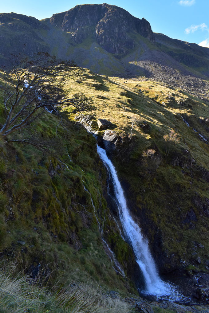 |
| Dalehead Crags from Newlands Beck falls. |
More walkers are passed and 'mornings' are shared. I arrived above Newlands Beck falls and decided to take a closer look by diverting left off the path before descending a steep loose path where I almost took a fall after my left foot slipped on wet rock.
10/10 for recovery Paul! |
 |
| Hindscarth. |
| |
 |
| A distant Scope End as I near the valley floor. |
| Note the sheepfold seen in the foreground which is marked on my 1:25 scale map, it's also the location which marks the end of descent and from where a grassy path heads back through the valley. |
 |
| Looking back on Miners Crag (L) and Dale Head (R) |
| What a day I'd better get the suntan lotion out! |
 |
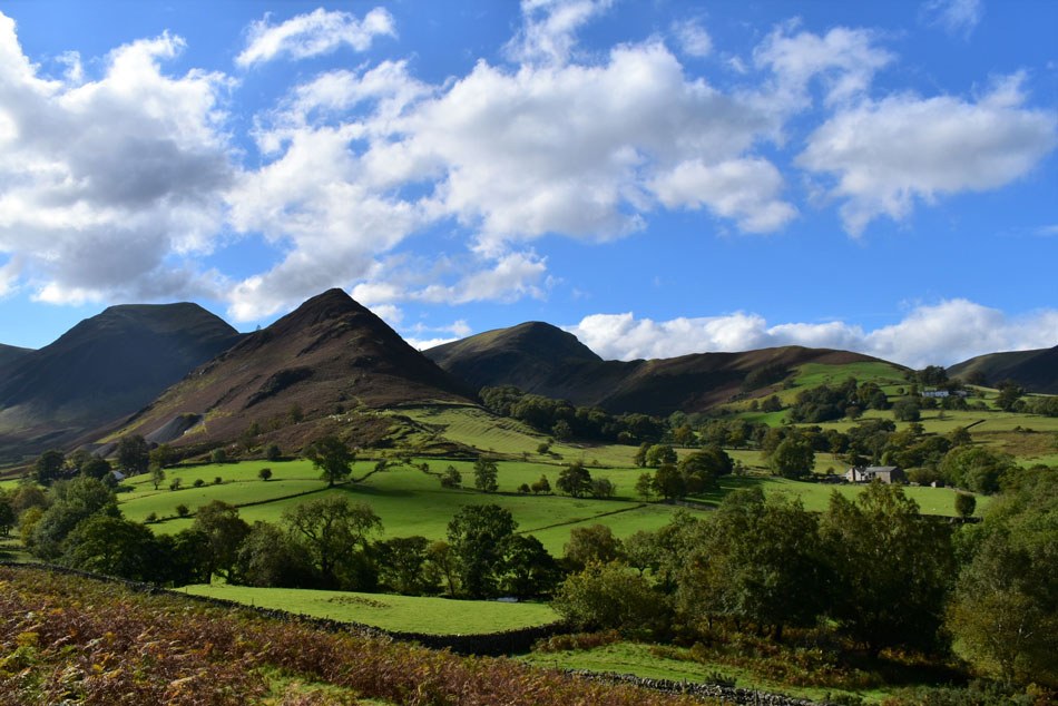
| Newlands. |
| |
 |
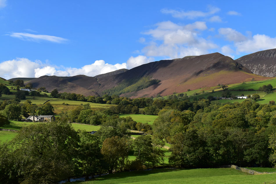
| Inspirational views while the memories keep flooding back. |
| Is it any wonder I was inspired to create a website after walking through Newlands. |
 |
| Causey Pike and Rowling End from Newlands Beck. |
| |
 |
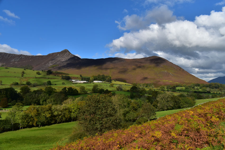
| Knott Rigg and Ard Crags seen over Low Snab Farm and High Snab Farm. |
| With Gillbrow Cottage seen right. |
 |
| Hindscarth, Scope End, Robinson and High Snab Bank from the outskirts of Little Town. |
| The grassy path gave way for the dirt track which in places, was mostly under water or had water flowing over it, all the same the puddles and beads of water were easily avoided. |
 |
| Causey Pike and Rowling End. |
| From the outskirts of Little Town. |
 |
| Ard Crags, Knott Rigg, Sail, Scar Crags and Causey Pike. |
With Little Town reached the only thing that could make my day complete was the smell of wood smoke which I was treated to as I passed through the hamlet. The over spill car park at Little Town was doing good trade as I took the lonning and passed over a roaring Yewthwaite Gill before following the footpath through open field. Despite recent rain the footpath remained relatively dry but it didn't go unoticed why so many of the gates I had to pass through were flooded.
The last field was the muddiest and I swilled my boots in a drainage trough at Skelgill Farm. The road back to Gutherscale was still flowing with water and I'm passed by many a car struggling to park. Skiddaw dominates my walk back as it appears through the tree branches and when possible during a break in the treeline I stop top admire the view. I have a warming feeling inside, I'm on the tarmac road from where I rang my wife about my website dream. 11 years on and Newlands still continues to inspire me. |
|
| |
| Back to top |
 |
|