Great Crag and Grange Fell from Stonethwaite

7th October 2020

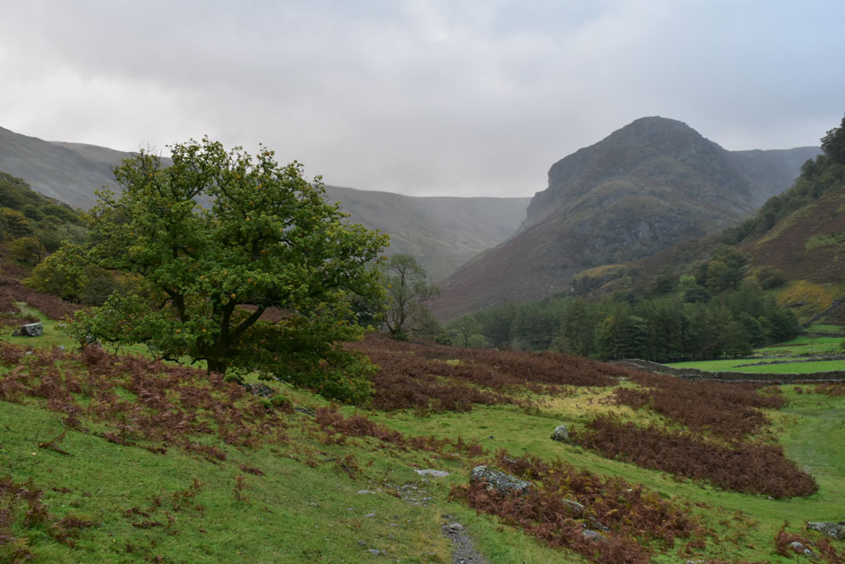
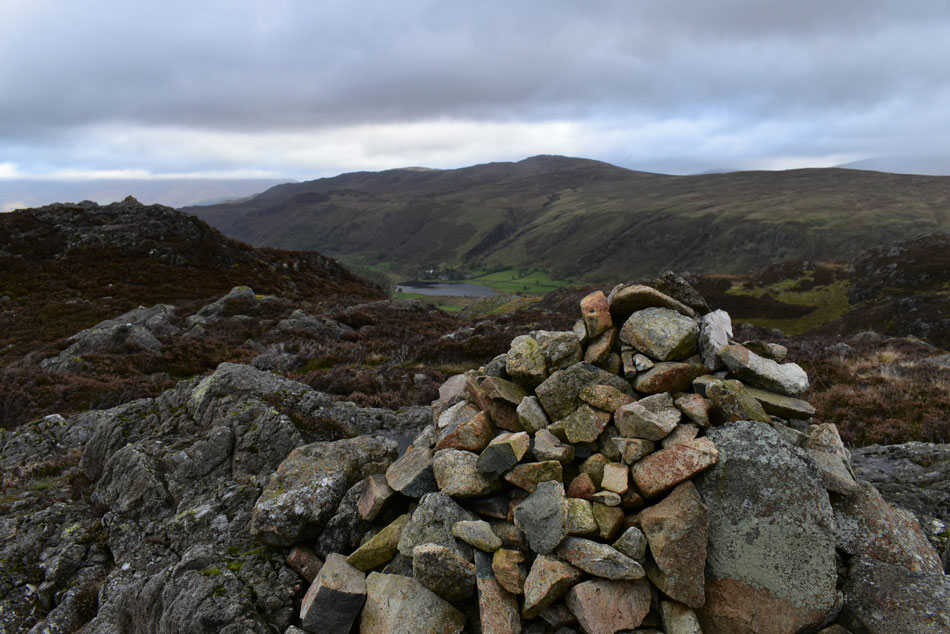
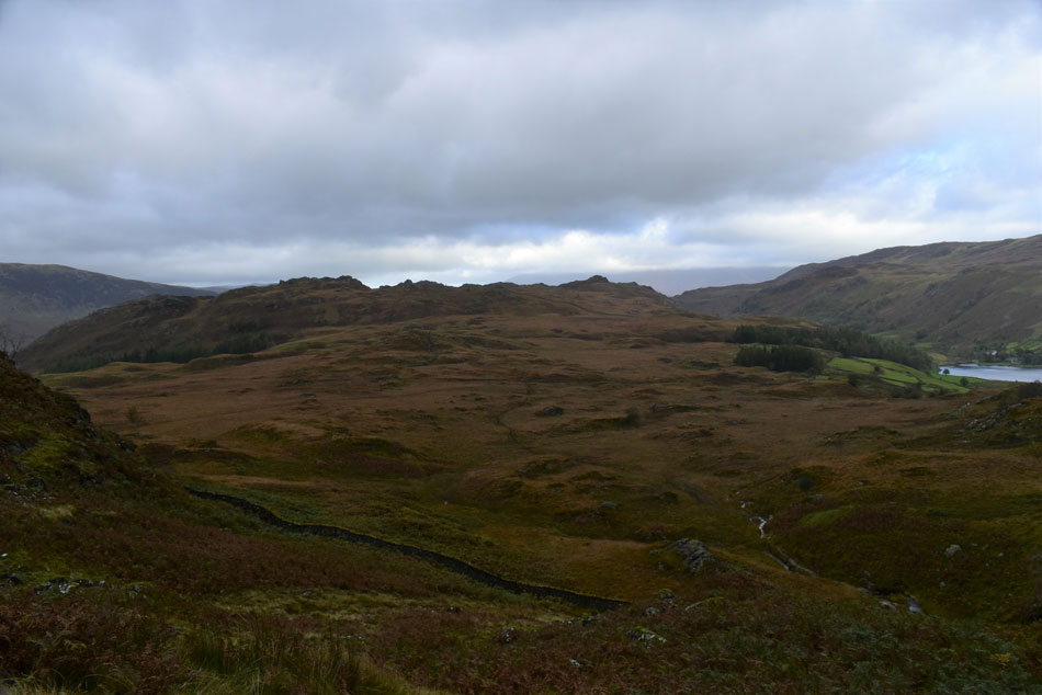
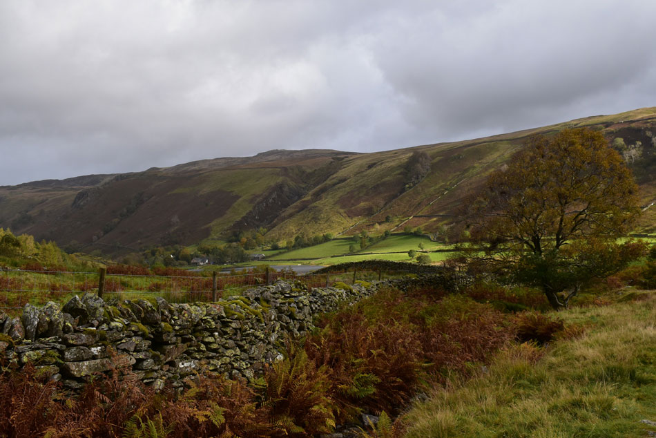
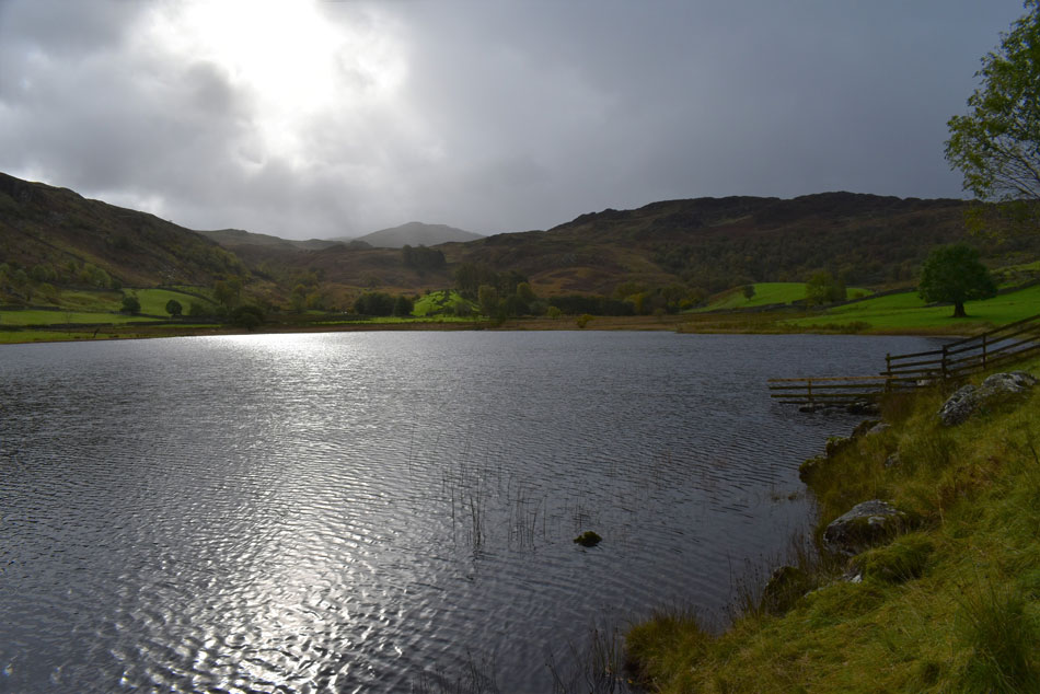
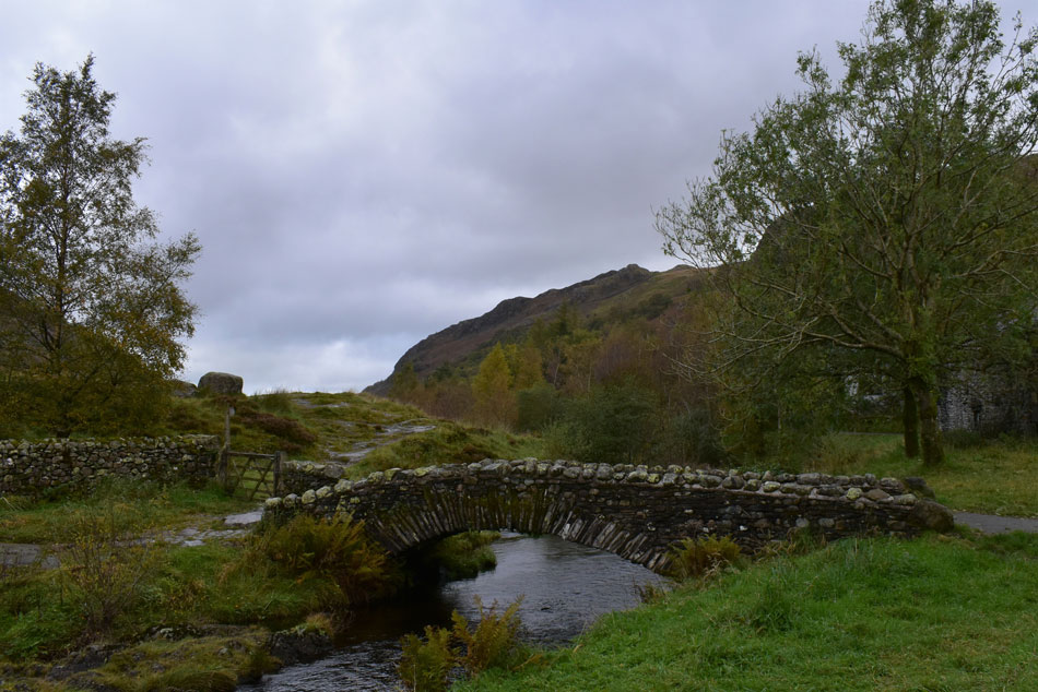
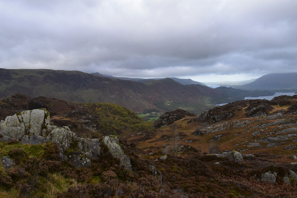
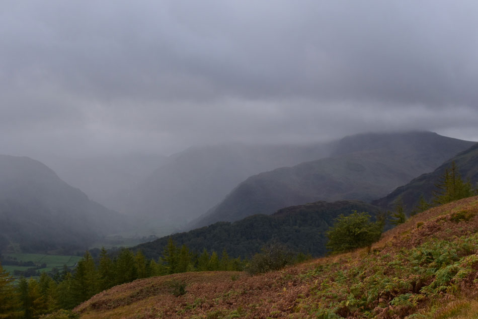
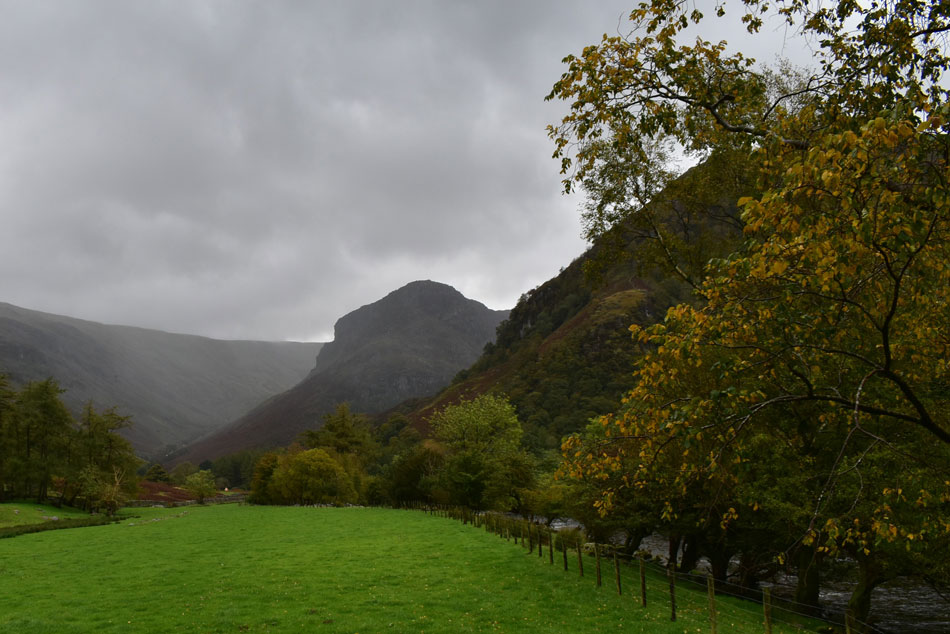
The original plan was to meet David and wild camp on Yoke but the forecast wasn't playing ball so David suggested the rather ambitious route of walking the Langdales from Stonethwaite instead, not only would we have summated the Langdale Pikes but Sergeant Man, High Raise, Sergeant's Crag and Eagle Crag too, a walk that commanded a decent forecast. The forecast looked to be OK but took a turn for the worst early week with winds of 50mph which were forecast to ease come early morning. Not to be put off we stuck with the green light and were good to go.

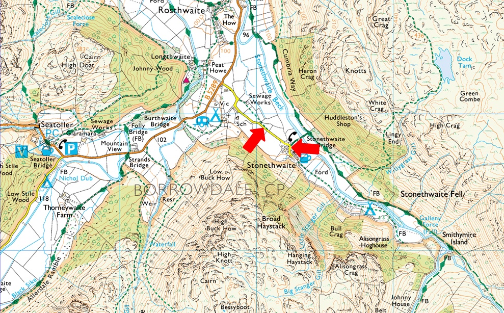
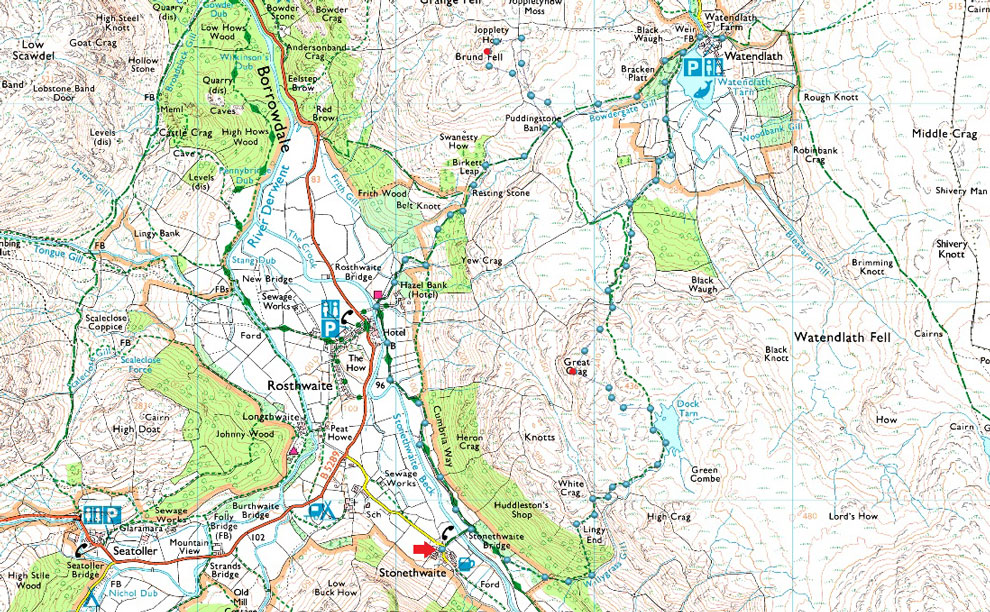
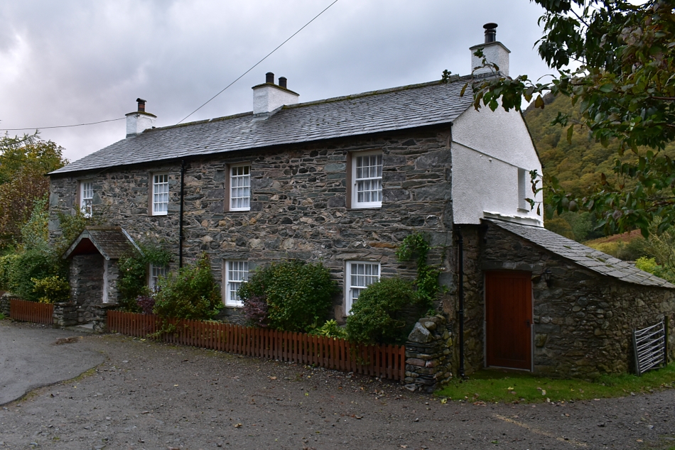
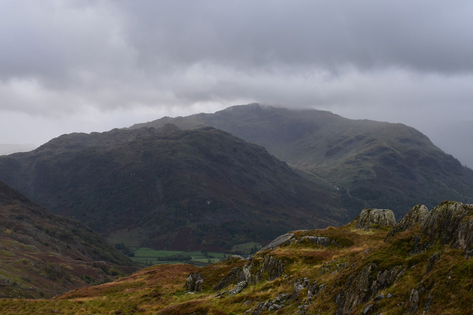
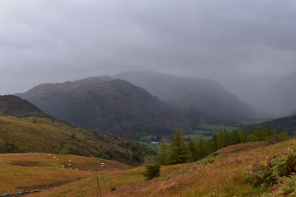
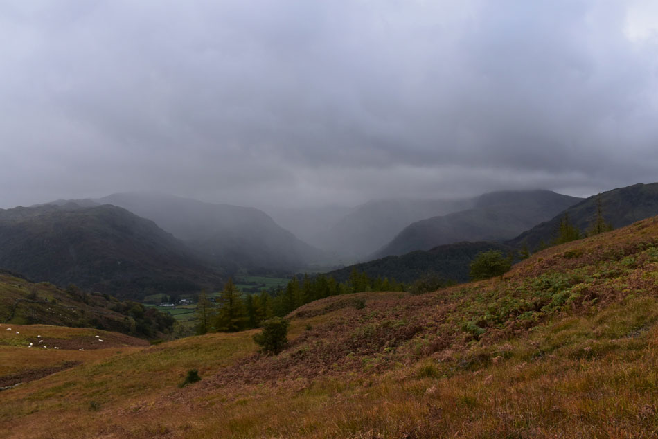
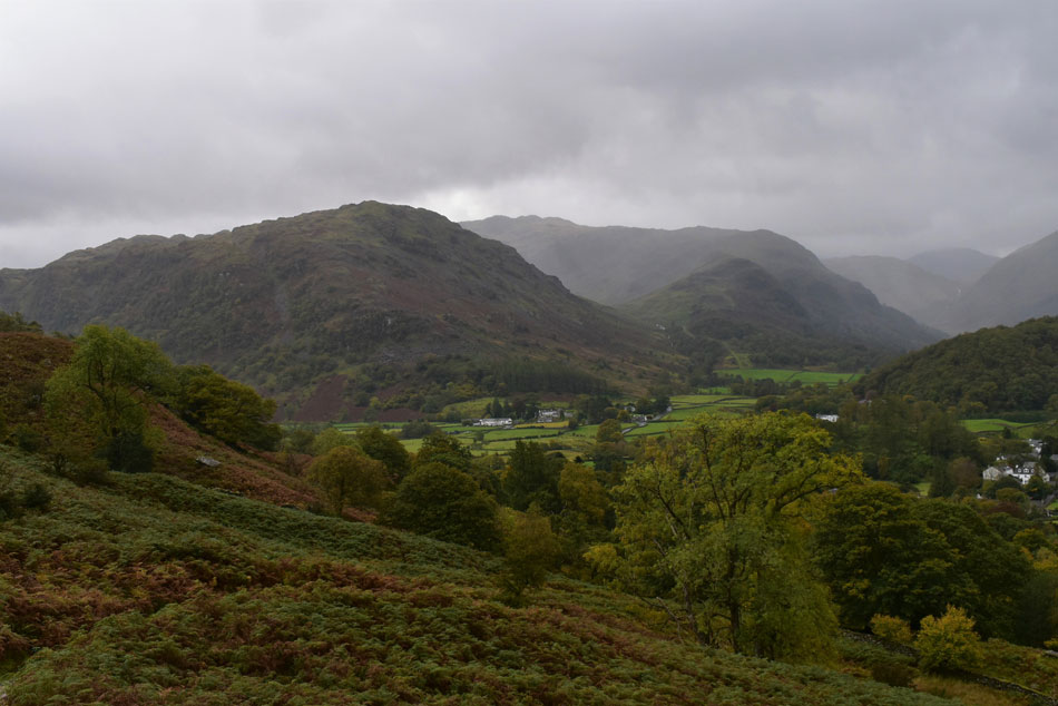
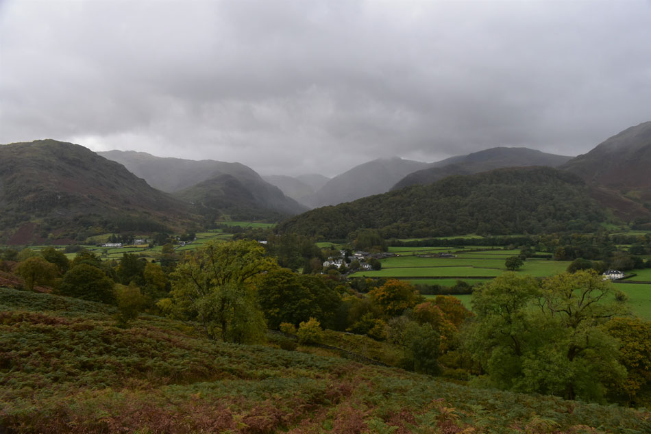
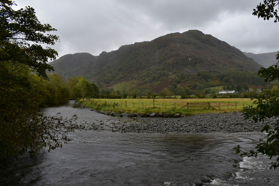
I met David in Stonethwaite just gone 7:30am after driving through light rain and not seeing much in the way of views due to low cloud and murk, a world away from the Lakeland I left just two days ago. After greeting David with our usual 'morning' the prospect of a 13 miler in such conditions looked grim, it just needed one of us to say it first "what are your thoughts Paul do we ditch the walk" David asked? "I think that would be wise" I replied but at this point we didn't even have a plan B. I lent back on my car and folded my arms, it was bloody freezing as the wind howled about the place, it also started to rain. With over 40yrs experience of walking the Lakeland fells it took David a few minutes to come up with the obvious. It was July 2016 since I last linked these two fells together and February 2015 for David. It was simple, our plan B had been staring at us right in the face.

 
Wainwright Guide Book Three
The Central Fells
Grange Fell is nothing on the map, everything when beneath one's feet. In small compass, here is concentrated the beauty, the romance, interest and excitement of the typical Lakeland scene. Here nature has given her very best and produced a loveliness that is exquisite.
 

Overview
-
Ascent: 2,000 Feet – 610 Metres
Wainwrights: 2, Great Crag – Grange Fell
Weather: Scattered Showers Throughout. Some Breaks Of Sunshine PM. Max Wind Speed 30.4mph Highs of 14°C Lows of 8.3°C
Parking: Stonethwaite Village
Area: Central
Miles: 6.5
Walking With: David Hall
Ordnance Survey: OL7
Time Taken: 5 Hours
Route: Stonethwaite – Lingy End – Dock Tarn – Great Crag – Watendlath Tarn – Watendlath – Puddingstone Bank – Grange Fell – Puddingstone Bank – Rosthwaite – Stonethwaite
 

Parking Details and Map
Nearest Post Code: CA12 5XG
Grid Reference: NY 260513 (Stonthwaite School) - NY 262 513 (Next to the Phone Box)
Notes: There are two places to park in the village of Stonethwaite the first one being as you head into the village itself just after the school with parking for up to three cars, further into the village next to the red phone box there is a small parking area with room for up to half a dozen cars. Both sites are ideal if heading into the beautiful Langstrath valley, Eagle Crag or Sergeants Crag. My advice is to arrive early to secure parking places and you won't be disappointed. Parking is free,


Map and Photo Gallery


Stonethwaite 7.50am 12°C
Light had broke by the time we had confirmed our plan B but it was still murky and the rain still fell, a far cry from the predicted forecast of the chance of a light shower between 09-10am. In anticipation of the high winds forecasted I decided to wear my Mountain Equipment winter trousers which are also waterproof to some degree, adding to this I'm also carrying a full three litres of hydration but I have a feeling given that we'd already took a soaking while kitting up being quenched for thirst won't be high up on todays agenda. We locked our cars and set off down the the track towards the Stonethwaite bridge as one light shower turned into a ten minute deluge, the first of many we would experience today.

Through the murk and showers, Eagle Crag.
With Greenup Edge in the distance.

Ascending the steps towards Lingy End.
We picked up the Cumbrian Way for a short while then diverted left through woodland which at least kept the rain off for a while!

Bessyboot from Lingy End.
It wasn't all doom and gloom, for a few minutes the sun came out between the showers.

Dock Tarn with Low Saddle (Ullscarf) in the distance.
We decided to follow the path closest to the tarn as opposed to a higher path which passes over a heathery outcrop, even so, the wet slippery rock slowed us down a little.

High Tove and Watendlath Tarn from Great Crag summit.
Conditions turned very boggy after leaving Dock Tarn which was to be expected. We picked up the path bound for the summit where we were exposed to the forecasted high winds for a wee while, it definitely felt like Autumn had arrived up here with 30mph and a temperature of just 8.3°C

Grange Fell and Watendlath Tarn.
More care was taken descending Grange Fell with flowing water over wet rock which tended to slow our descent, that said conversation flowed where we agreed to visit Watendlath instead of heading straight for Grange Fell.

Crikey cor blimey it's the sun!
As instantaneous as it was it was actually quite warm during the rare occasions the sun made a appearance.

Watendlath Tarn.
We followed the footpath which for a large part of was made up of stepping stones in order to avoid the bogs. Watendlath was soon reached where we pass a trio of walkers followed by a second trio who were about to ascend towards Puddingstone Bank. With plenty of time on our hands we had a walk around Watendlath.

The stone footbridge over Watendlath Beck.
 

Watendlath barn door.
 

Great Crag from Watendlath Tarn.
Those who know me will know of my love for Mardale, High Street and Newlands, well David shares the exact same fondness for Watendlath, in fact David informs me that if he was ever given just one last walk it would be to Watendlath.

Showers passing over Bessyboot and Rosthwaite Fell from Grange Fell.
We left Watendlath and starting to ascend Puddingstone Bank from where we diverted right and squelched our way onto Grange Fell. We had managed to stay dry (albeit very wet underfoot) and took great delights watching the showers as they passed less that a mile away of us.

Kings How, Maiden Moor, Causey Pike, Cat Bells, Lord's Seat, Bassenthwaite Lake and Derwent Water from Grange Fell summit.
Still great views despite the low cloud.

A close up of Bessyboot, Thornythwaite Fell and Rosthwaite Cam from Grange Fell.
 

Moments later...
Good grief I hope that isn't heading our way!

We seemed to have got away with it.
Time to re-join the track at Puddingstone Bank.

Seatoller Fell seen over Johney Wood.
Seathwaite is less than a couple of miles away which holds the title for being the wettest part of the UK...you don't say.

Bessyboot, Thornthwaite Fel and Rosthwaite Cam.
With Stonethwaite below.

Autumn in Borrowdale.
 

Bessyboot from Stonethwaite Beck.
Having descended from the top of Puddingstone Bank we arrived at Hazel Bank Country House and picked up the Cumbrian Way back to Stonethwaite alongside Stonethwaite Beck as more showers continued to fall but the tree lined path sheltered us from the worst of the rain.

Eagle Crag from the Cumbrian Way (just outside Stonethwaite)
 

Eagle Crag.
Prior to crossing Stonethwaite Beck via Stonethwaite Bridge.

Back at Stonethwaite.

This was by no means a five hour walk but between the many stops spent chatting it turned out that way. Despite the showers Stonethwaite was busy when we got back with folk taking advantage of a drier afternoon. We agreed that it would have been pretty miserable if we had chosen to walk the Langdales and by now we reckoned, we'd probably be somewhere within the vicinity of High Raise although judging by the low cloud we wouldn't have seen it.

We couldn't but help feel a little smug that our plan B walk turned out so well, yeah we might have took a soaking from time to time but we also had the pleasure of experiencing Lakeland in her autumnal glory, we didn't get to see much of the sun today but on the rare occasion it appeared usually after a shower had passed the fell side was left in a vibrance of colour, it's all about appreciating the little things you don't normally take in when walking in wall to wall sunshine.


Back to top