Almost Fairfield from Grasmere

10th October 2020

Some weeks ago Tim and I had arranged to walk Great Gable from the top of Honister Pass but as the weekend approached it was becoming clear the forecast wouldn't be on our side with rain, low cloud and high winds on the cards.

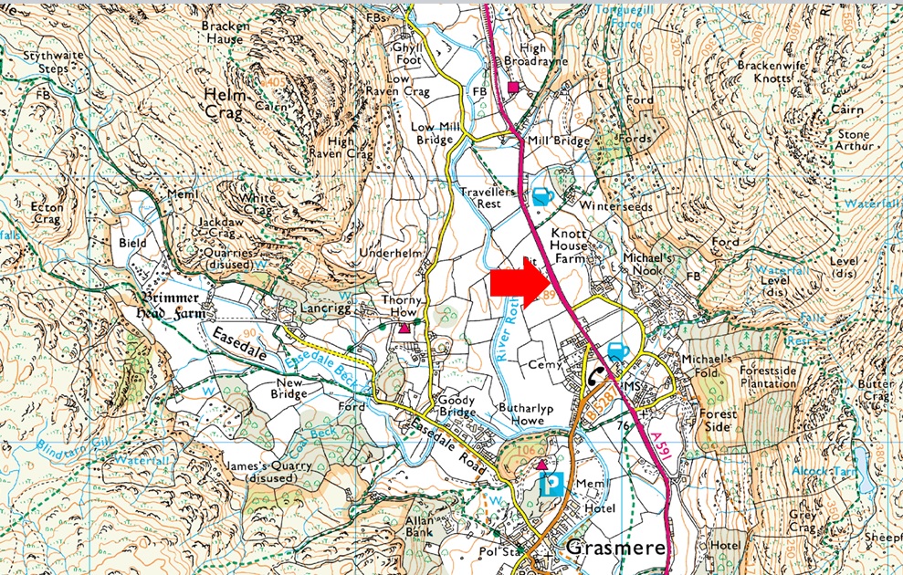
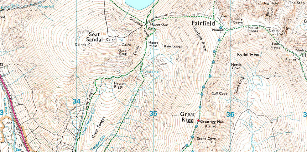
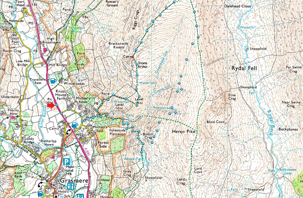
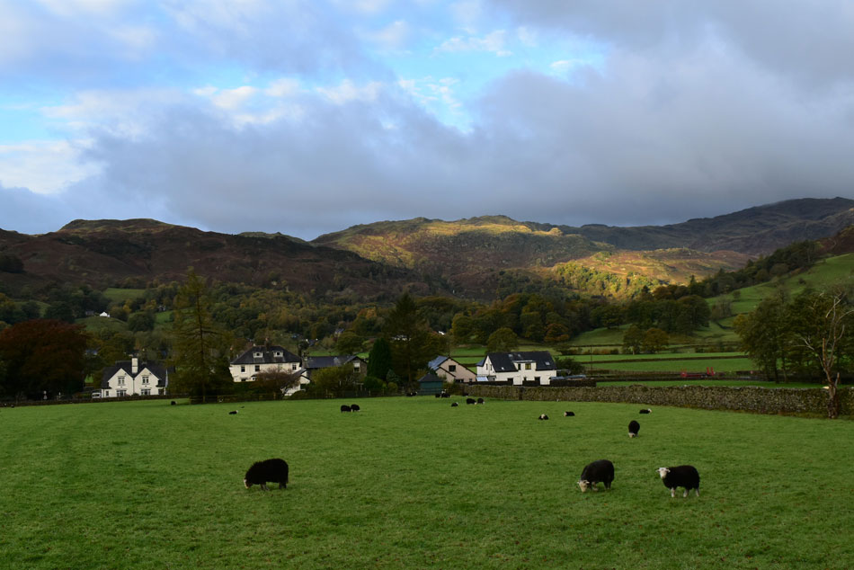
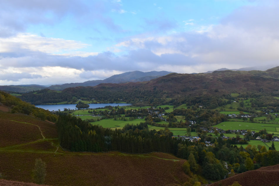
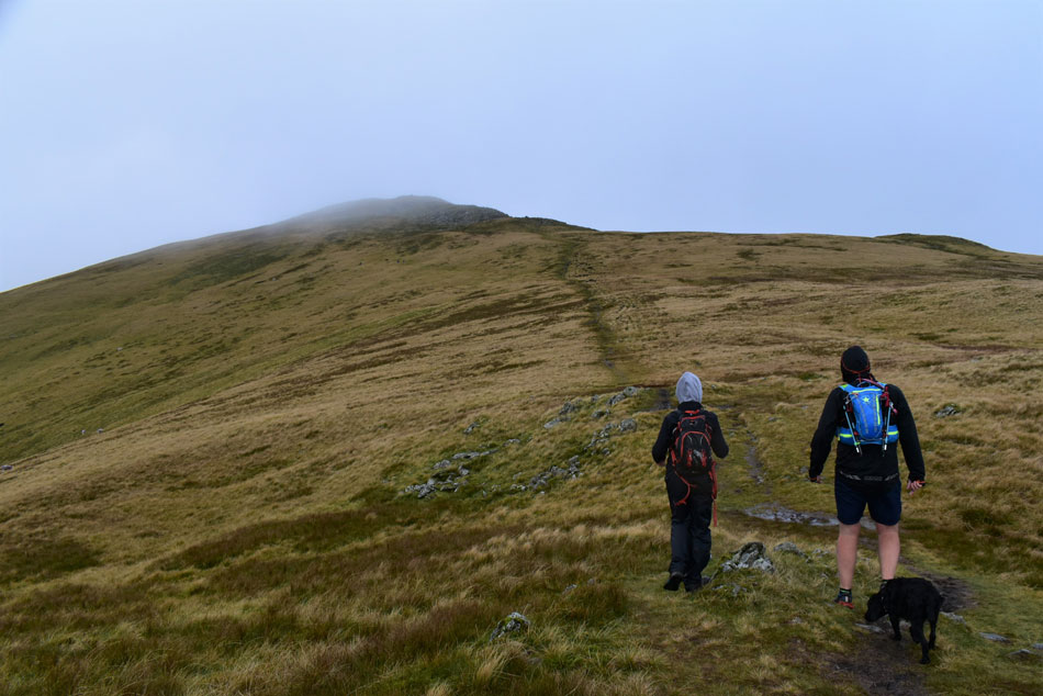
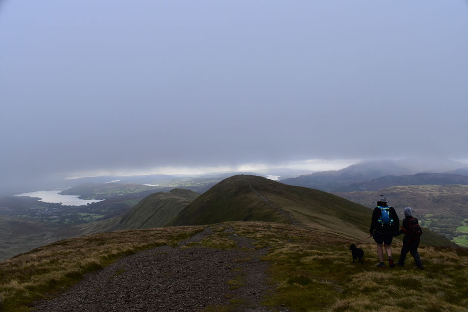
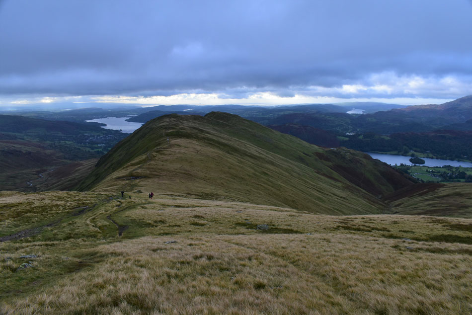
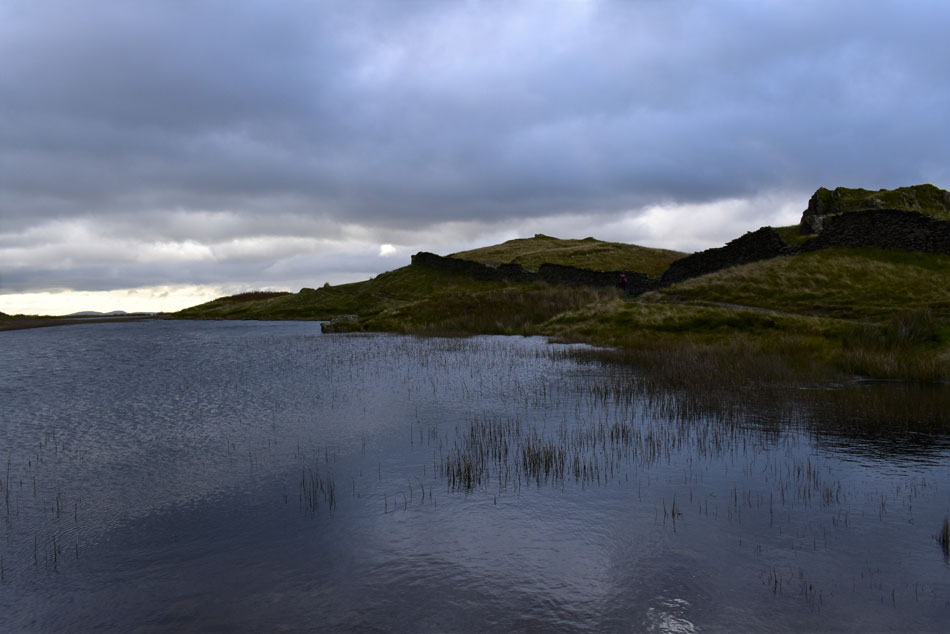
The east of the park had a better forecast so we came up with this plan B cracker, Fairfield from Grasmere, it's the kinda route we could chop and change if things weren't going our way which we drastically had to do less than 60 yards from Fairfield summit but I'll get to that later in the report.

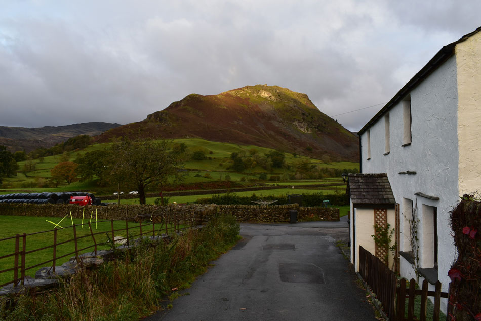
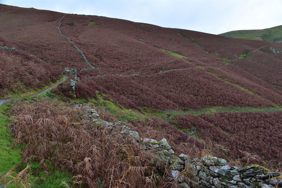
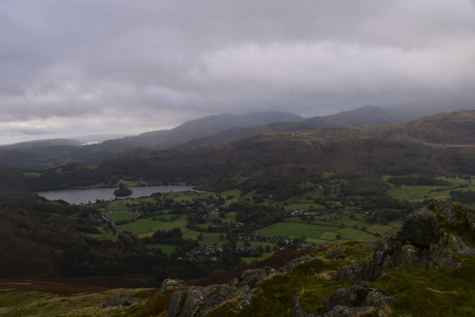
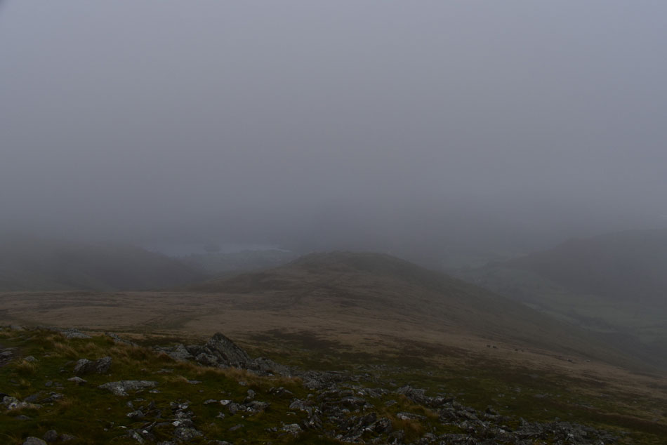
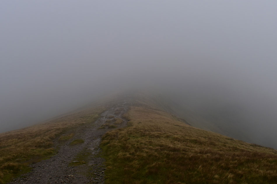
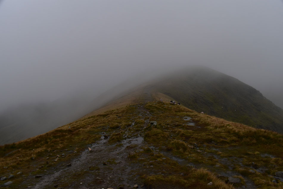
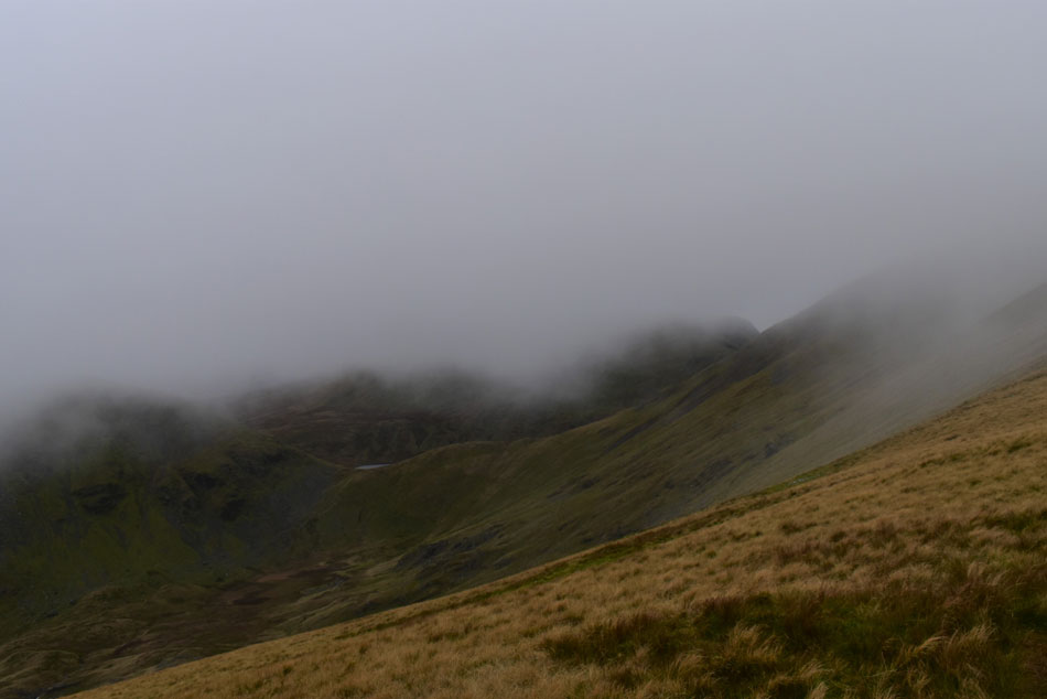
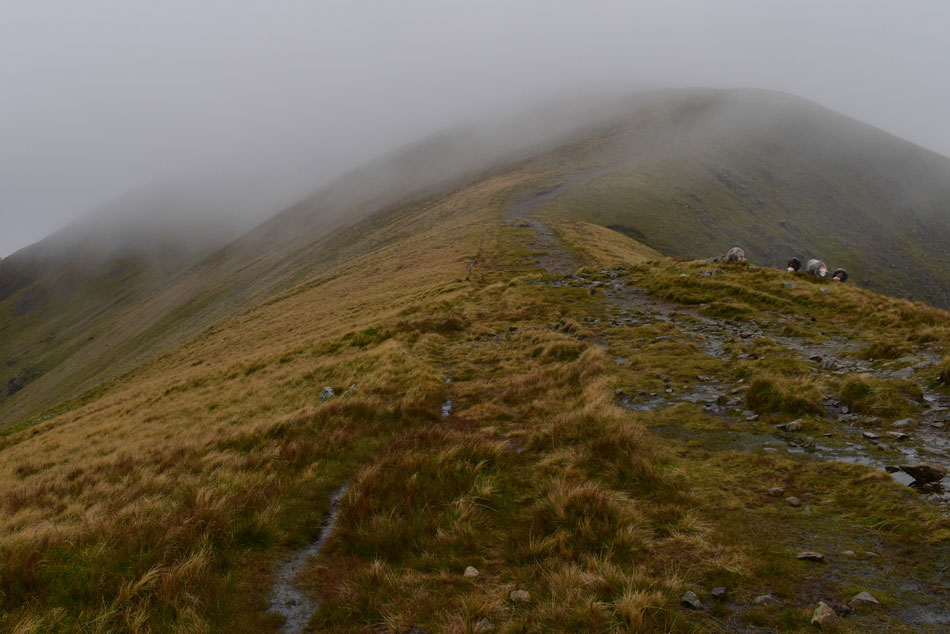
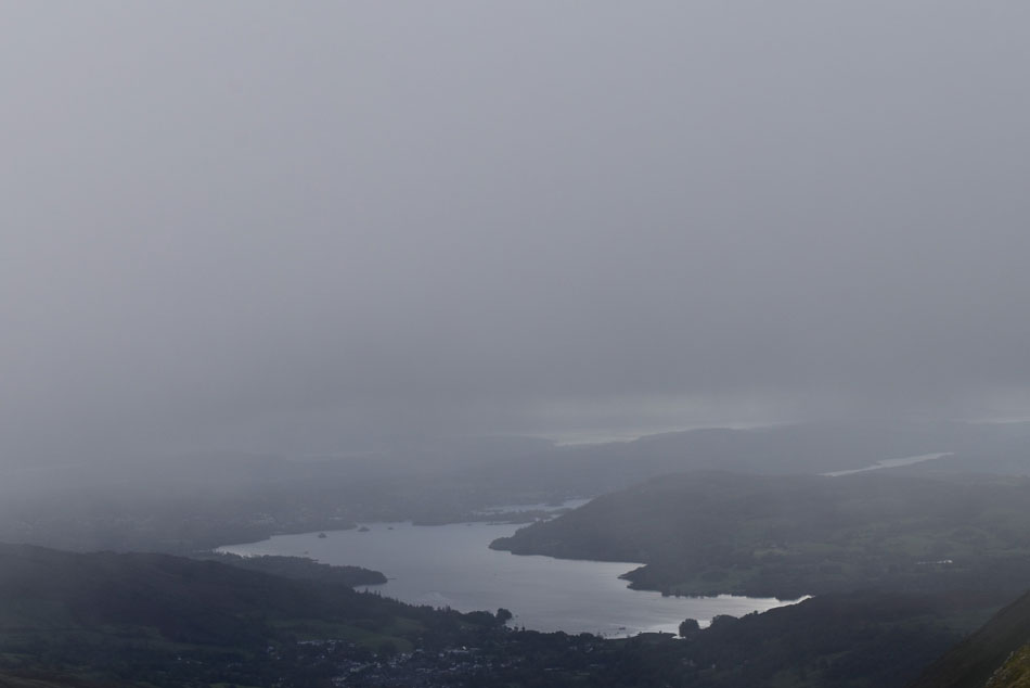
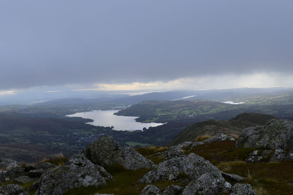
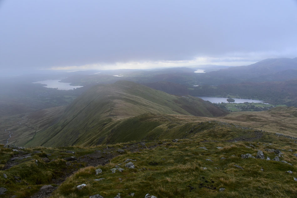
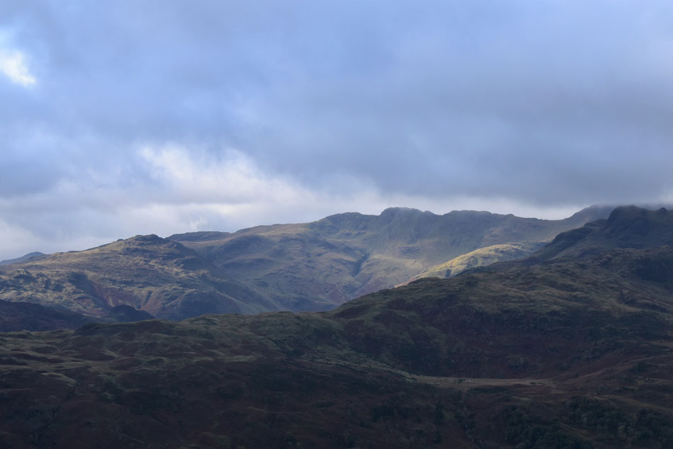
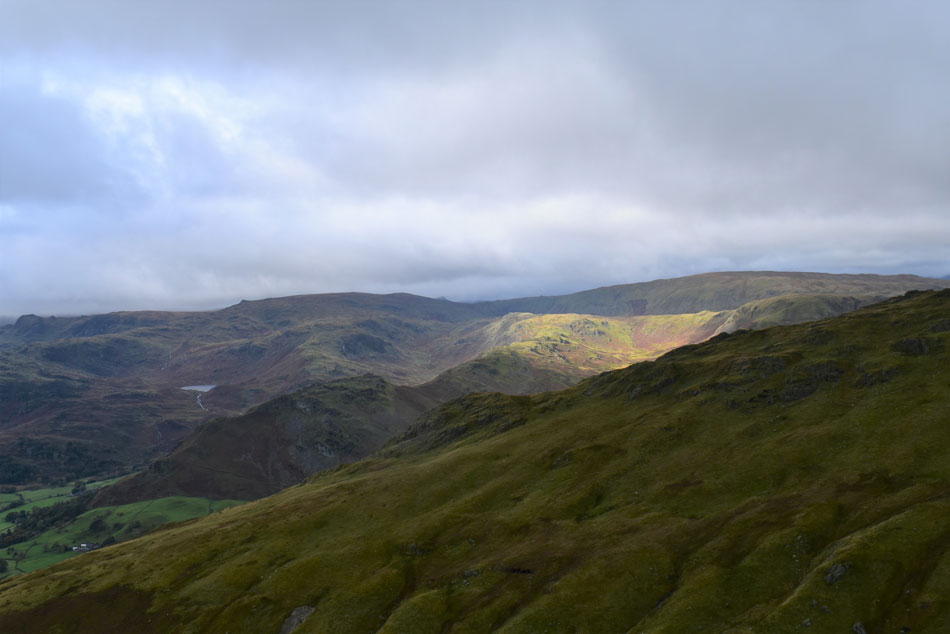
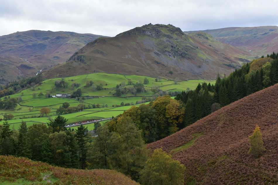
Today proved it's not all about making the summit within the depths of Autumn where the valleys are in complete contrast to the mountain today, Summer felt a longtime ago and the transition between Autumn and Winter was looking right at us. We had it all thrown at us from rain, low cloud and some of the strongest winds Tim and I had endured. I have personal experience of what strong winds can do to a full grown man when a few years ago I was picked up and thrown fifteen feet, today, we weren't taking any chances.

 
Wainwright Guide Book One
The Eastern Fells
Few people will climb Great Rigg without also ascending Fairfield, for the former is a stepping stone its bigger neigbour.
 

Overview
Ascent: 2,947 Feet - 899 Metres
Wainwrights: 2, Stone Arthur - Great Rigg
Weather: A Dry Start With Showers Following. Strong Winds Over The Summits. Highs of 10°C Lows of 12°C Lows of 6.3°C Max Wind Speed 44.6mph
Parking: Parking Spaces, A591 Outside Grasmere
Area: Eastern
Miles: 6.2
Walking With: Tim Oxburgh, James Oxburgh & Pearl The Dog
Ordnance Survey: OL4
Time Taken: 5 Hours
Route: A591 - Michael's Nook - Greenhead Gill - Stone Arthur - Great Rigg - Fairfield (almost) - Great Rigg - Grains Gill - Rowantree Gill - Alcock Tarn - Michael's Nook - A591
 

Parking Details and Map
Nearest Post Code: LA22 9RF
Grid Reference: NY 337 408
Notes: Possibly the most convenient, and popular layby in Lakeland! The layby is found just outside Grasmere inbetween the village and the Swan Hotel. Despite this being a rather long layby parking here is very popular mainly because of the position and access to Helm Crag, Far Easdale and the Fairfield fells. Parking is free.


Map and Photo Gallery


Helm Crag from Michael's Nook 08:15am 10°C
I guess the forecast had put any early arrivals off finding the usually busy lay-by north of Grasmere deserted when I arrived. There was promise in the skies with chinks of blue beyond the grey and for now the surrounding summits are cloud free. Tim arrived with James and Pearl soon after and we caught up as we kitted up mostly on how Tim's body was coping after his 110 mile ultra endurance race back in August. Tim informed me that he had to have specialist treatment for the blisters on his feet but other than that his body was back to normal. We left the lay-by and crossed a deserted A591 and picked up the footpath between Michael's Nook and Michael's Fold which after a steep ascent by tarmac road would lead us directly onto fell side.

Hints of sunlight over Silver How.
Like I said there's promise in them there skies.

The familiar stone wall below Stone Arthur.

We ascended the steep footpath which brought us out at the terrace path flanked by this stone wall, it was here Tim and James de-layered and from where we could all regain our breath back after the intial steep ascent.

Onwards and upwards as they say.


Distant Wetherlam and Coniston Fells.
With Silver How and Grasmere below.

A similar view only this time taken from Stone Arthur summit.
What a difference a few minutes can make on the hill. Layers are added as we prepare for a soaking, the wind is also whipping up too.

Great Rigg on the skyline.
I gave James the job of seeing if he could record the highest wind speed using my anemometer which ranged from the late teens to the late twenties. Oh and btw if you are wondering why Tim is wearing shorts it's just what he does, in the 11 years I've know him I've never seen him wear long trousers no matter the forecast.

Looking back on Stone Arthur.
We reached the shoulder of Great Rigg to be presented with strong winds which for now weren't too worrying so we continued with our ascent onto Great Rigg.

Great Rigg summit.
I informed Tim while during my first summit here many years ago strong winds had knocked me over on my arse with my camera still in hand, it was the middle of Winter and snow and spindrift were blowing everywhere but before I got back up I managed to take a photo of the spindrift with a strong Winter sun in the distance. It was one of my earliest Lakeland memories which always comes back to me on Great Rigg.

Continuing along the ridge towards Fairfield.
We descended Great Rigg and noticed the winds were getting stronger, I also noticed that Tim was using his body to shield James who was looking a little worried.

Fairfield appears through a break in the cloud.

James worried look was concerning and at times I flanked him on one side while Tim on the other, I wanted him to be able to see the both of us as our concerns for him were growing. We continued towards the summit and breached the summit shoulder, by now I wanted to know myself how strong the wind was so I held up my anemometer while Tim and James continued to walk, my anemometer recorded a maximum wind speed of 44.5mph.

Tim and James were a few meters away from me and over the wind I I shouted "Tim!" Tim and James both looked around and poor James had a look of horror on his face to the point of upset, I'm not sure what I was originally going to say but after seeing James face I pointed back towards Great Rigg and shouted to "head back"...seeing James in his distressed state made me realise that summating Fairfield today just wasn't worth it.


Grisedale Hause.
With an appearance of Grisedale Tarn.

Retreating back towards Great Rigg.
Tim didn't have to thank me for making that call but he did. James had picked up once he knew we were heading back for Great Rigg and for Tim and I ,that's all that mattered.

Through the murk.
Windermere and Morecambe Bay.

Great Rigg, Rydal Fell and Heron Pike.
I devised a quick plan B or would that be C! Either way I put it to Tim and James did they fancy a visit to Alock Tarn who both agreed and we were back on track.

Windermere from Great Rigg.
With Esthwaite Water seen right.

Descending Great Rigg as Coniston Water comes into view.

Tim and I spotted a faint path from the ridge which took a direct line to Alcock Tarn via means of Grains Gill and Rowantree Gill "are you thinking what I'm thinking Tim?" "yeah" Tim replied "I see it and yeah lets go for it"

Plan D it was then.


The ridge is starting to get busier now.
As we are about to start our direct descent towards Alcock Tarn seen as the tiny body of water centre right.

A close up of The Band, Crinkle Crags and Cold Pike.
Seen over the Blea Crag ridge.

Looking further west.
Harrison Stickle, Sergeant's Man, Tarn Crag (Easedale) Easedale Tarn, Helm Crag, Gibson Knott, Calf Crag, High Raise (Langstrath) and the summit of Steel Fell with Stone Arthur seen in the foreground.

The ridge linking Stone Arthur with Great Rigg.
With Greenhead Gill below.

Almost at Alcock Tarn with Butter Crags seen right.
Our traverse turned out to be delightful following a narrow trod over Grains Gill and Rowantree Gill thereafter, the latter being a tad tricky to negotiate but we all managed it and soon we were looking down on Alock Tarn.

Lunch with a view.
Pearl was never far away sniffing out my mini pork pies which we shared for lunch.

Alcock Tarn.
We were lucky enough to find a sheltered spot at the north end of the tarn, from here you wouldn't have thought there was any wind about at all except for when it blew over the waters surface and even that we were sheltered from, bloody brilliant.

Helm Crag dominates our descent with views of a very busy layby below.

With bellies fed we left Alcock Tarn and started our descent, our ears accompanied by the sound of cascading water from Greenhead Gill, Grains Gill and Rowantree Gill as they all converged into one. The path is busy with more walkers heading for Alcock Tarn where as it so happens, the weather started to turn brighter and James couldn't believe it when I said this is usually the case, we just gotta shrug it off I explained.

It's been a while since I had to do anything like today but if it meant that James lasting memory was feeding his dog scraps of lunch set within the calmness of Alcock Tarn rather than the fear of summating Fairfield in frightening winds then I (and we) knew we made the right decision.


Back to top