|
Mam Tor, Edale & Rushup Edge |
 |
 |
17th October 2020 |
 |
|
A trip to the Lakes to walk Birketts Great Borne from Ennerdale was on the cards but the walk deserved better than what the forecast had predicted with fog and mist shrouding the fells for the best part of the weekend. While prowling the Met Office and MWIS websites during Saturday lunchtime I noticed a little weather window breaking over the Peak District that actual afternoon, with my gear already packed it was just a case of grabbing something to eat for lunch then head south.
I regularly act on instinct and I'm also known for chasing the weather which is a torturous game but did one hour of brightness really warrant such a random act? That was what was going through my mind as I drove the 50 miles or so towards the Peak District, that, along with which route do I take as I only had three and bit hours of daylight left. |
|
| Ordnance Survey OL1 |
 |
| The Peak District |
|
|
|
| |
|
Overview |
|
|
| Ascent: |
1,300 Feet - 396 Metres |
| Dewey's: |
2, Mam Tor - Lord's Seat (Rushup Edge) |
| Weather: |
Some Sunshine to Start, Clouding Over With Light Rain. Highs of 12 °C Lows of 8.3°C Max Wind Speed 10.7mph |
| Parking: |
Roadside Parking, Next To Mam Tor National Trust Car Park |
| Area: |
Edale, Peak District, Derbyshire |
| Miles: |
6.2 |
| Walking With: |
On My Own |
| Ordnance Survey: |
OL1 |
| Time Taken: |
2 Hours |
| Route: |
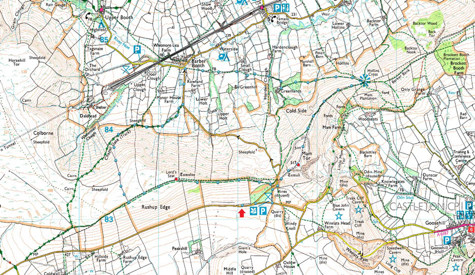
Mam Tor National Trust Car Park - Mam Tor - Hollins Cross - Greenlands - Small Clough - Barber Booth - Chapel Gate - Rushup Edge - Lord's Seat on Rushup Edge - Mam Tor National Trust Car Park |
|
| |
|
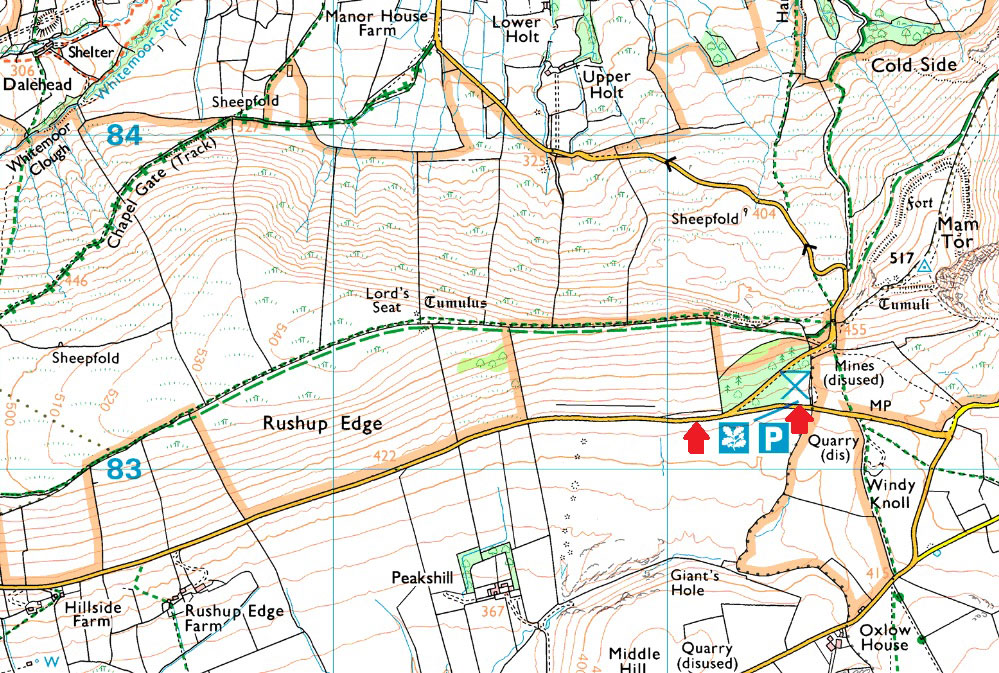
Parking Details and Map |
|
|
| Nearest Post Code: |
S33 8WN |
| Grid Reference: |
SK 120 831 |
|
| |
|
Map and Photo Gallery |
|
|
 |
| |
| |
 |
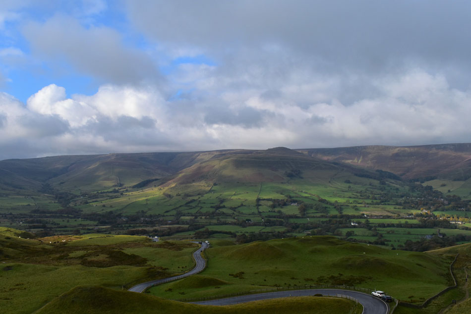
| Looking over Winnats Pass from the ascent of Mam Tor 15:00pm 12°C |
After grabbing lunch at the petrol station while I filled up it started to rain and continued as I drove down the M6 and M56. By the time I'd driven through Hazel Grove and Disley not only was it raining but the fog had rolled in too. As I climbed higher towards Chapel-en-le-Frith I couldn't see a thing so you could imagine my surprise by the time I arrived at Rushup Edge I'd left the fog behind and was looking at blue skies through breaking cloud, I couldn't flippin believe it. The National Trust Car park was packed which also surprised me given the murk of the morning but that didn't seem to be putting folk off including the paraglyders seen circling over the top of Winnats Pass.
Not been able to park was slightly worrying, after all I hadn't anticipated it being so busy that was until I spied a van leaving the roadside parking so I quickly took its place, it was the muddiest parking spot I'd ever parked in but at least I was parked. With time ticking away I was rushing as I kitted up and in the process I'd forgotten to add my gaiters. The plan was to summit Mam Tor then continue down the ridge to Hollins Cross before descending to Barber Booth from where I'll ascend the Rushup Edge ridge. I'd already gone over the route back home which was just over the 6 miles mark, 6 miles in 3 hours should be ok given the terrain but there'd be no time for stopping. |
 |
| Grindslow Knoll seen over the Vale of Eden. |
| For anyone who has ascended Mam Tor from the Mam Tor National Trust Car Park will know its ascent is akin to visiting the upstairs bathroom, with less than 320ft of ascent and a quarter of a mile to do it in it really feels like I'd cheated my way up onto the summit but like I say, time is against me, grand views though. |
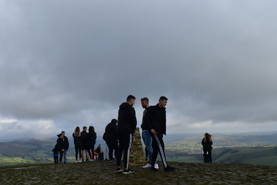 |
| Mam Tor summit. |
| Yes that's right, I am the only one wearing proper walking gear which left me feeling like the odd one out. |
 |
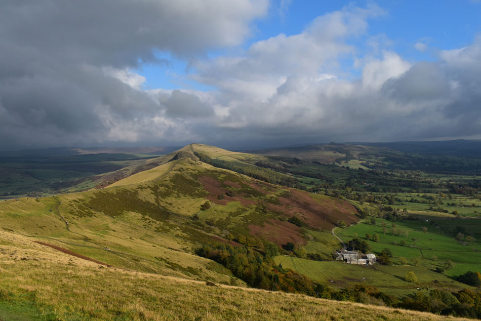
| Barker Bank, Back Tor and Lose Hill from Mam Tor. |
| The weather is breaking nicely and I'm still finding it unbelievable that a couple of miles west of here it's totally fog bound. |
 |
| Grindslow Knoll over the Vale of Eden. |
| |
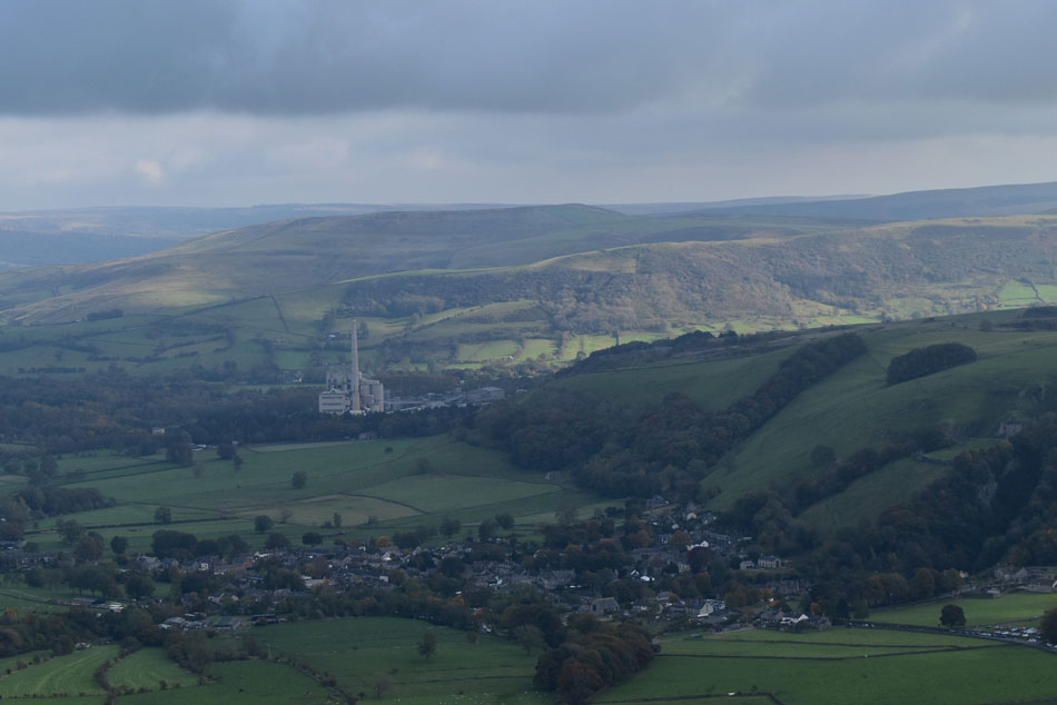 |
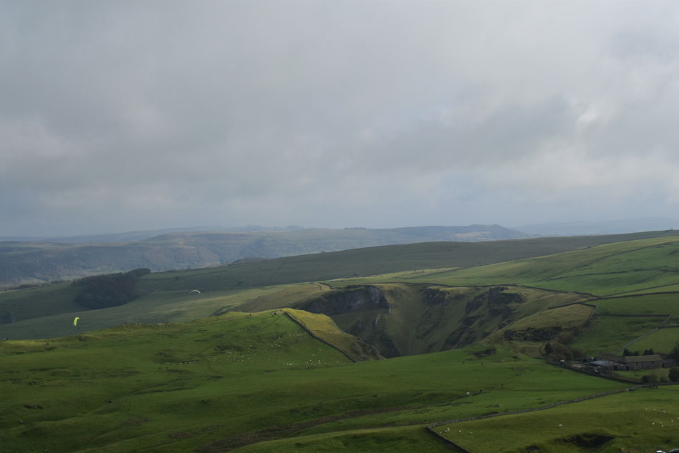
| A rather murky shot of the village of Castleton, Derbyshire. |
| With the La Forge cememt factory domminating the landscape beyond. |
 |
| Hollins Cross, Back Tor and Lose Hill. |
| With Mam Farm seen to the right. |
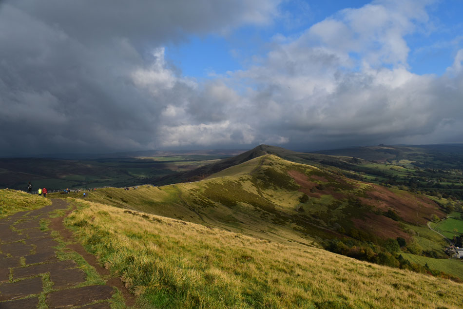 |
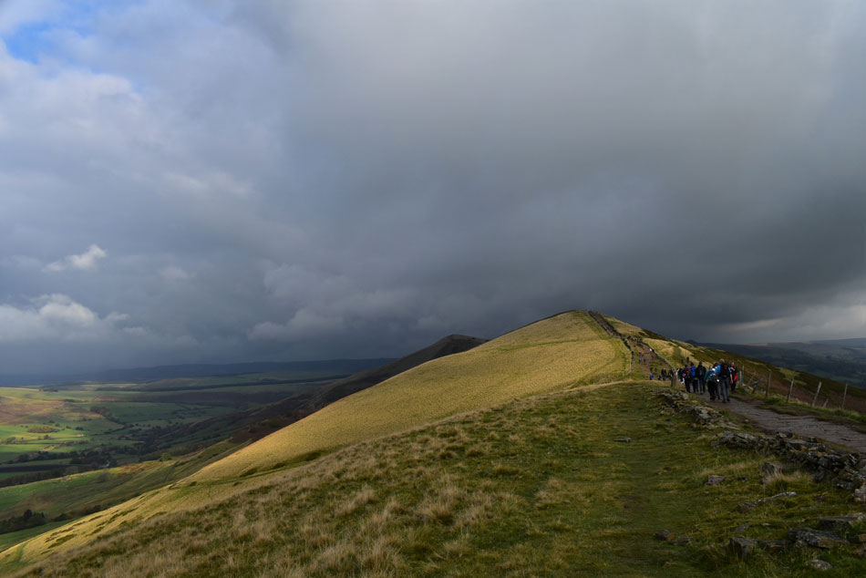
| Hollins Cross, Barker Bank, Back Tor and Lose Hill. |
| Brilliant sunshine to take the mind off the crowds, just fantastic. |
 |
| I look back towards Mam Tor. |
| It looks like the momentary sunshine is about to break. |
 |
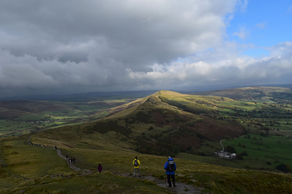
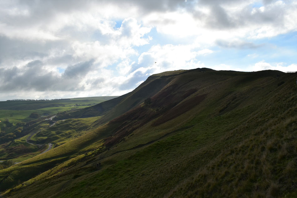
| Approaching Hollins Cross with Barker Bank and Back Tor beyond. |
| The depression seen ahead is Hollins Cross which is where I'll begin my descent into Edale from. |
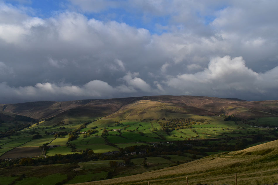 |
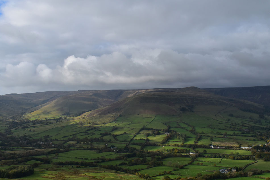
| Looking across the Vale of Eden to Rowland Cote Moor and Nether Moor. |
| Patches of sunshine still exist but they're disappearing within the gathering cloud. |
 |
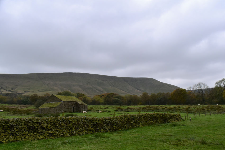
| Lose Hill, Back Tor and Barker Bank from Greenlands. |
| By the time I'd descended to Greenlands it had well and truly clouded over and with it came a dip in temperature too. My path forked left or right where I branch left towards Barber Booth but first I'm required to pass through half a dozen fields so it's time to get the map out to make sure I'm heading the right way...it's been a while since I've had to do that! |
 |
| Looking towards Grindsbrook Clough as I pass through field four. |
| From Greenlands I head right onto a tree lined tarmac lane, cross over a brook and to my delight a wooden sty appeared through a break in the trees, it's here I access the footpath through the fields. A well worn route passing through the fields which was easy to follow making sure I socially distance with any sheep or live stock which I'm sure could smell the chicken and bacon roll I had tucked away in my pack. |
 |
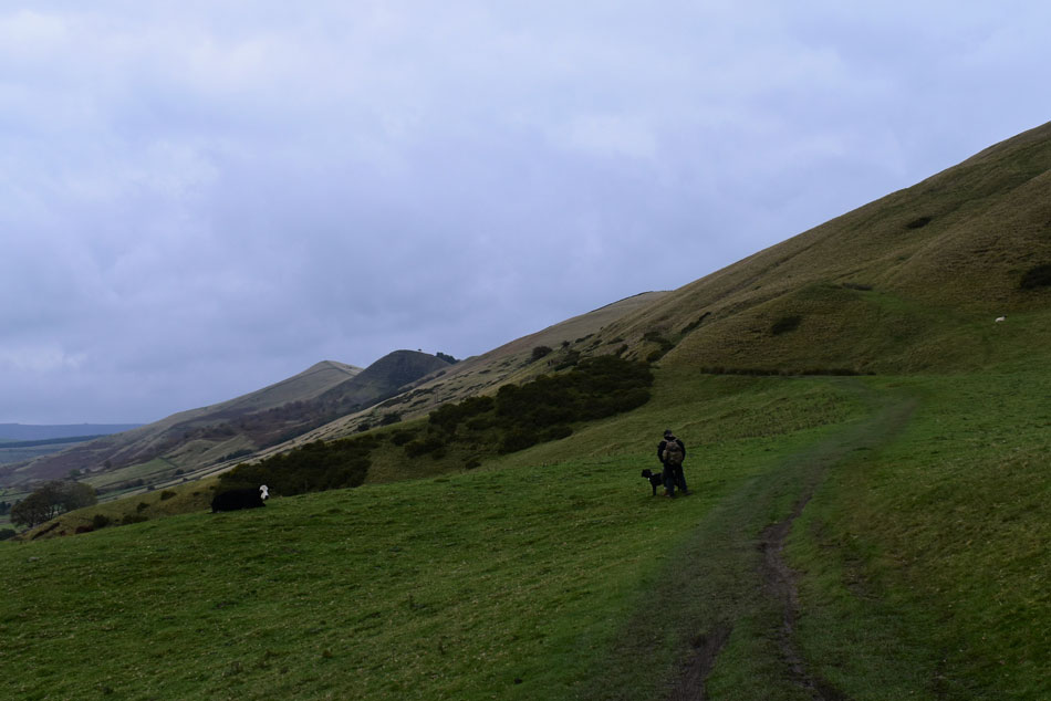
| Rushup Edge comes into view as I near Barber Booth. |
| It's from here I spot my ascent path onto Rushup Edge which can be seen as a faint path towards the right, gaining the shoulder of the fell looks sadistically steep from here! |
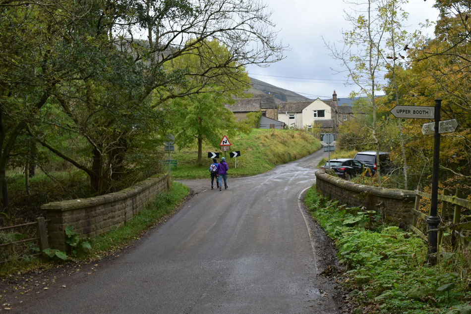 |
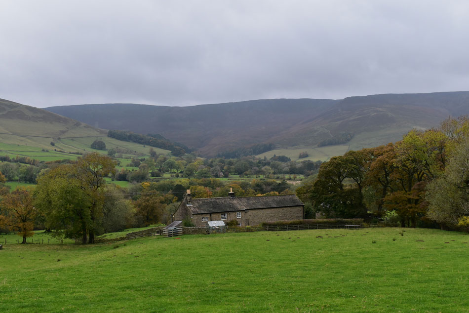
| Looking towards Barber Booth. |
| With the fields behind me I arrived at Barber Booth (outskirts of) just as it started to rain where no amount of me pleading "please don't rain, please don't rain" did any good...It's about 16:00pm now and I have a good 2 hours of daylight left but the dark cloud and rain are making it feel much later. |
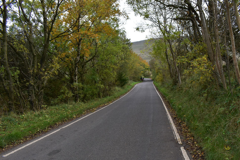 |
| I walk towards the top of the road from where I bear right onto Chapel Gate (track) |
| This is the nice and easy straight bit, behind me was a pretty steep hill who's ascent I shared with two cyclists, we were neck and neck at one point, honest. |
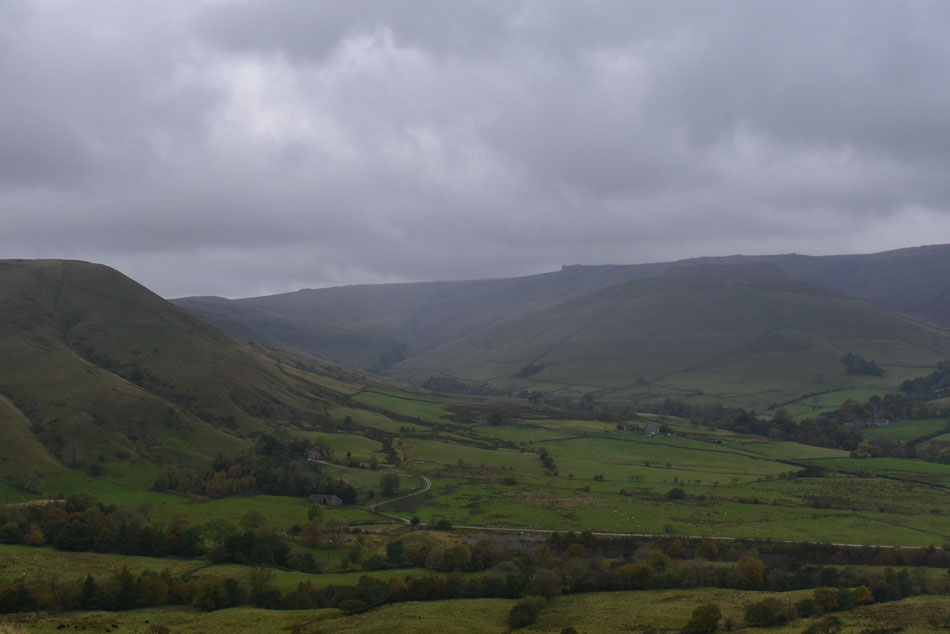 |
| Murky views towards Kinder Scout from Chapel Gate (track) |
| I was right the ascent of Rushup Edge which was as predicted, steep. In fact it was steeper than it looked from Barber Booth where at one point my walking poles were almost chinning me in the face, pretty mild though despite the rain. |
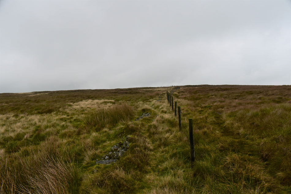 |
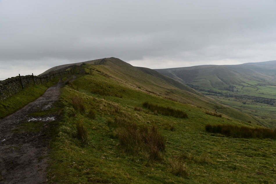
| Following the fence, Rushup Edge. |
| After getting my breath back I continued to follow the fence over the shoulder of the fell until I came across the main footpath ahead. |
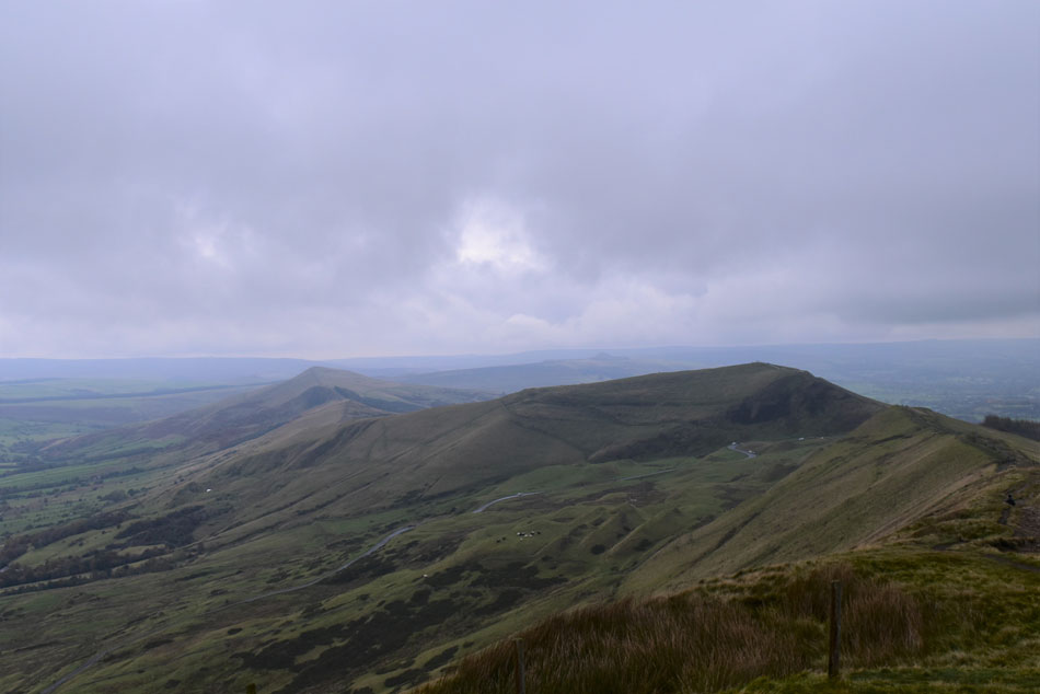 |
| Mam Tor, Barker Bank, Back Tor and Lose Hill from Lord's Seat on Rushup Edge. |
| The main path was soon reached which I enjoyed all the way towards Lord's Seat from where the view of Mam Tor and beyond was just incredible, even on a murky day like today. |
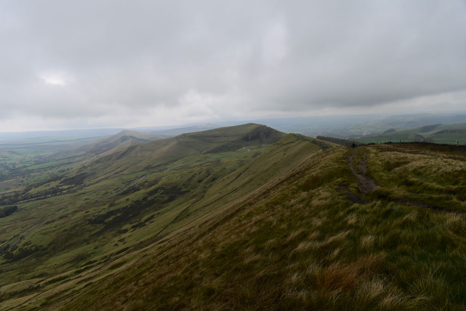 |
| Mam Tor, Barker Bank, Back Tor and Lose Hill from Rushup Edge. |
| |
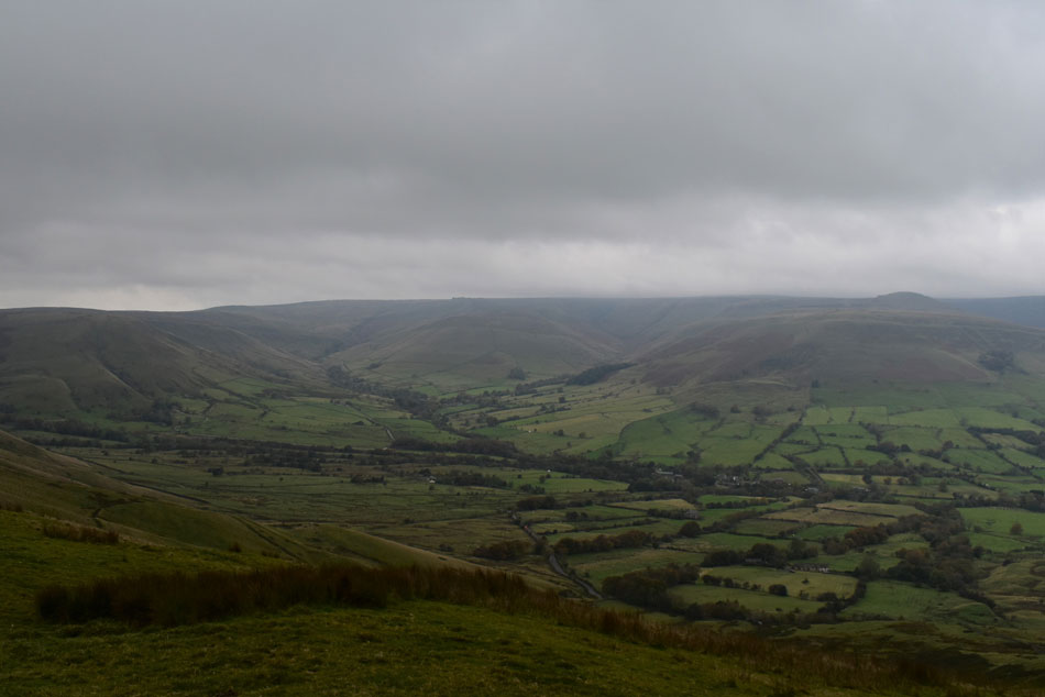 |
| Horsehill Tor, Brown Knoll, Kinder Scout, Edale Head, and Grindslow Knoll from Rushup Edge. |
| |
 |
| Looking back up Rushup Edge. |
| The last time I was here I promised myself I would do a walk which included Rushup Edge, as I descend I'm now telling myself that todays route would make a great Winter walk too so watch this space. Blighted by rain, lots of mud and fading light I made my way off the ridge, through the National Trust Car Park and towards the lay by which by now was almost deserted as was the NTCP. It felt late and that's because it was, I took a gamble half of which paid off but I got to see the Edale valley in a different light and for that it was worth it alone. |
|
| |
| Back to top |
 |
|