Blencathra Sunset

7th May 2021

With the unsettled weather continuing frustrations were building if and when I was going to walk during my week off. I also had to paint the shed and a good deal of fence paneling which also required dry weather, I had one day to do both.

Fridays forecast was the driest so by 9am I was painting my shed and by 3pm I'd painted the fence too, trouble was I hadn't eaten all day and to be fair I was knacked but, if I ate a late lunch, hydrated I could then relax during my drive to Lakeland.

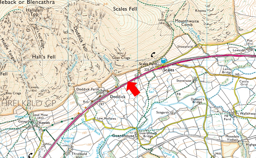
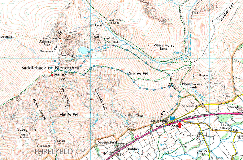
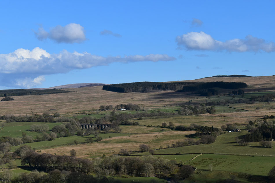
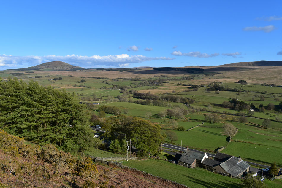
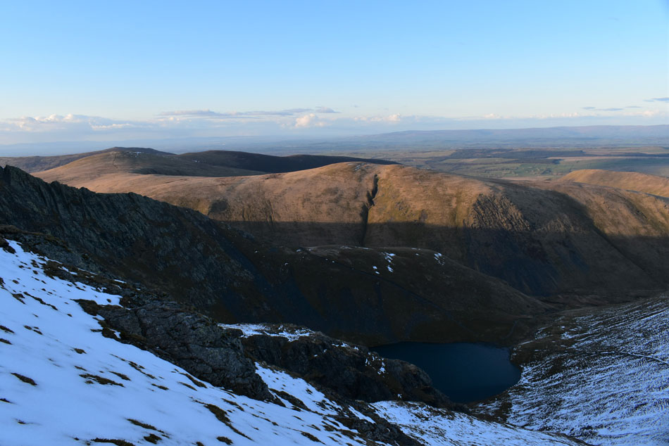
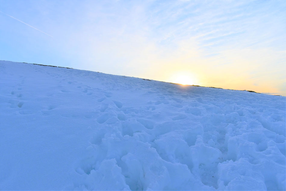
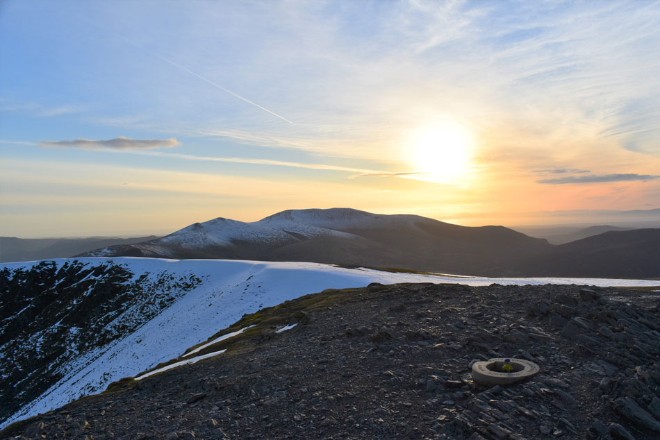
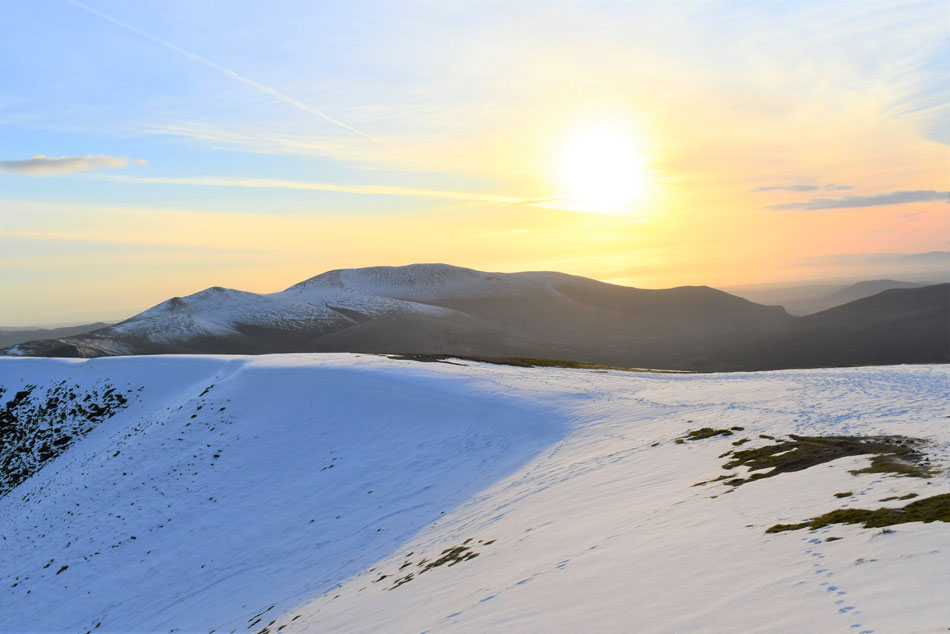
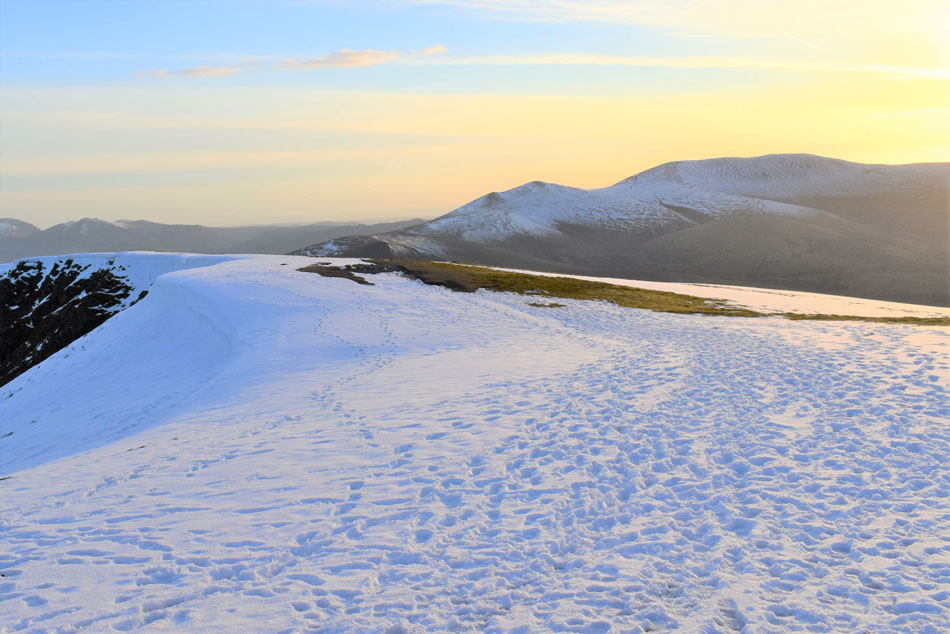
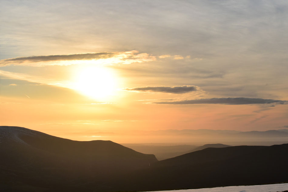
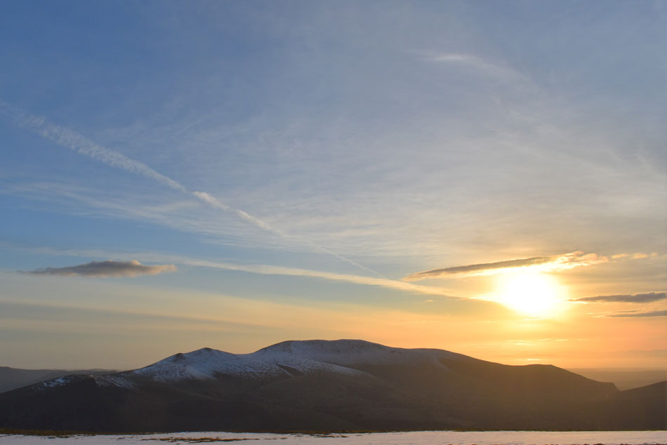
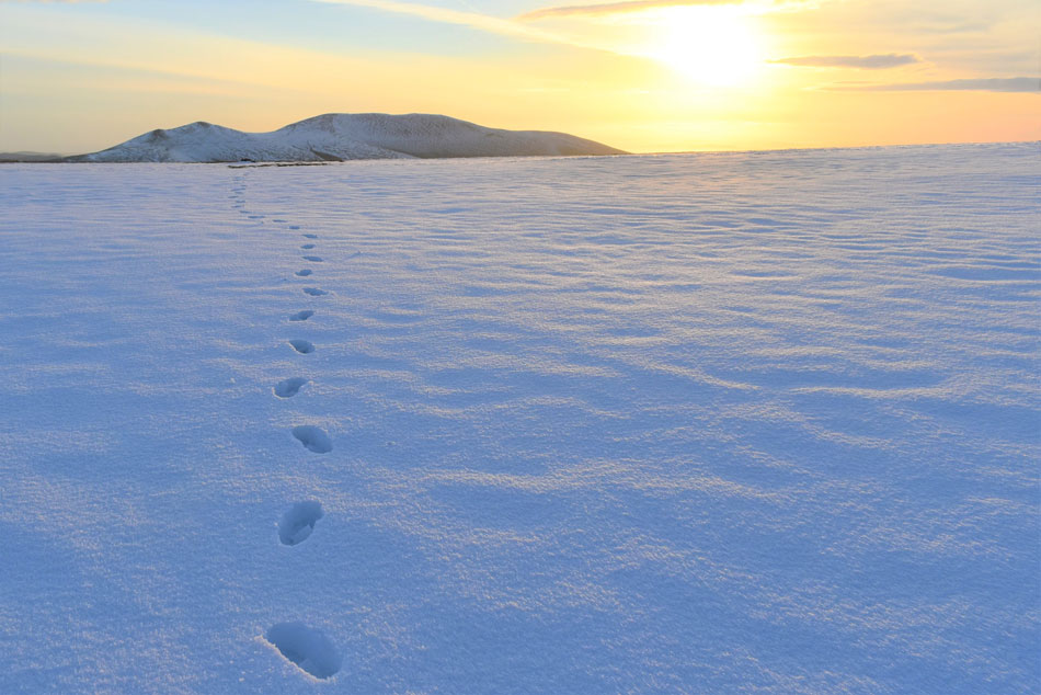
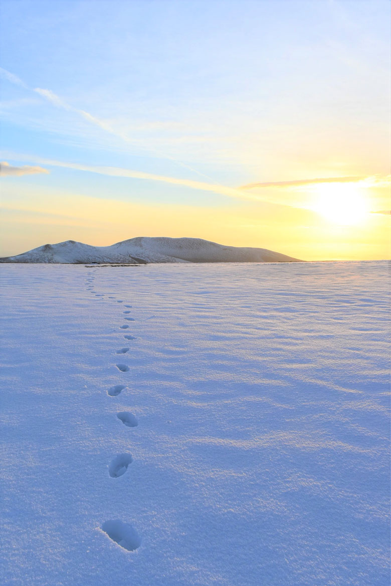
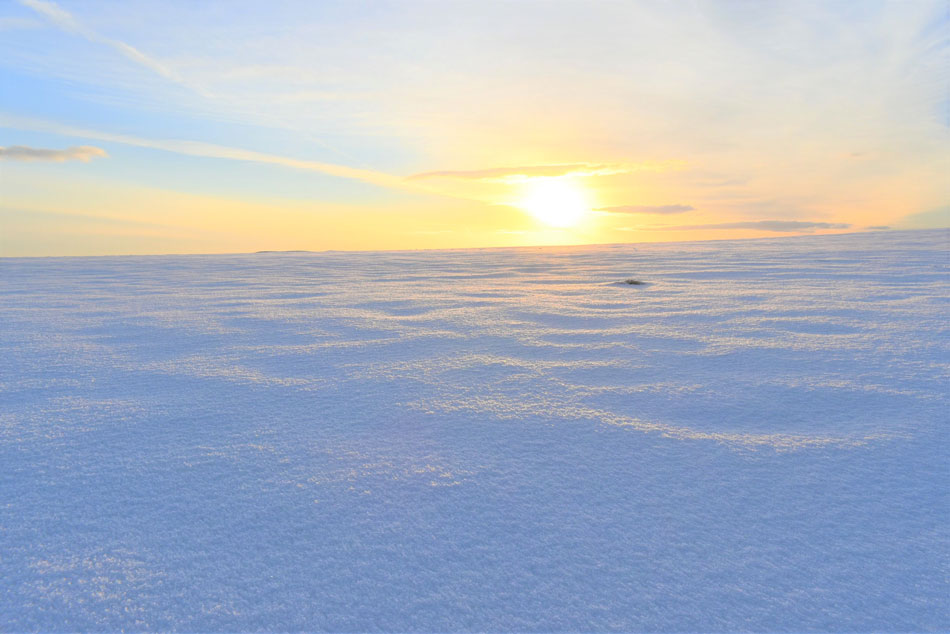
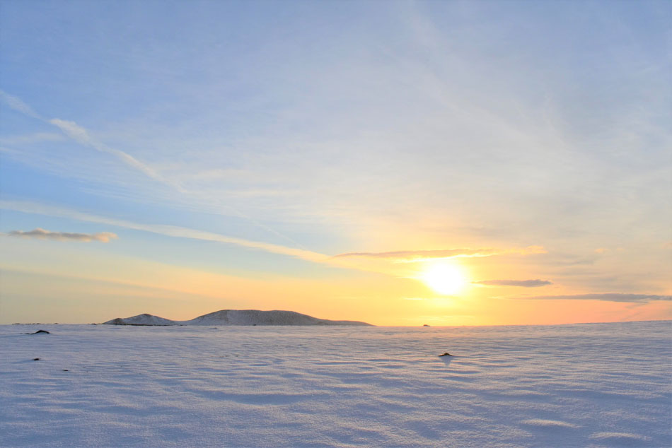
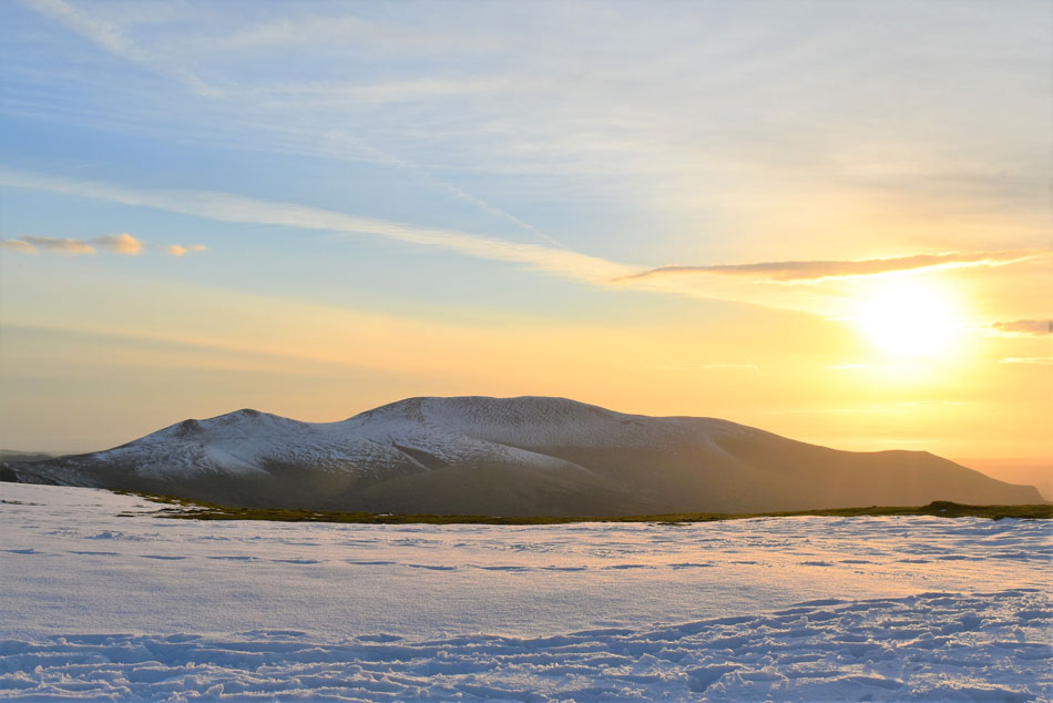
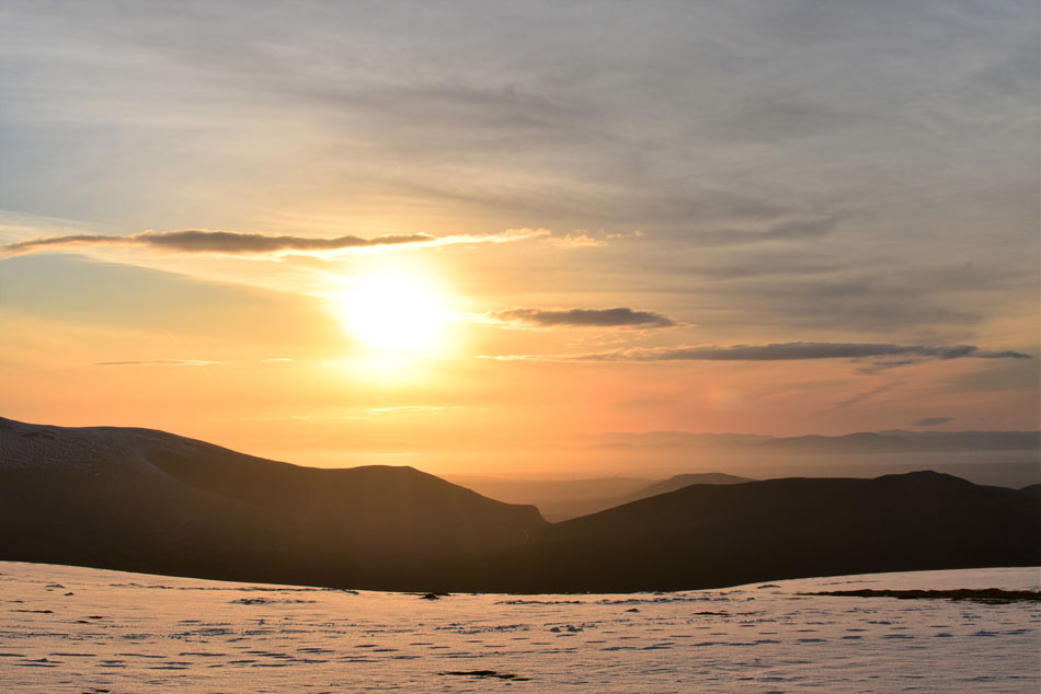
After a quick shower by 4pm I was packed and ready to go and if I was honest I was looking forward to the two hour drive if only it meant I could sit down. The plan was to arrive at Scales by 6pm then really take my time ascending Blencathra hopefully summiting by 8:30pm leaving half an hour to watch the sun go down north of the summit.

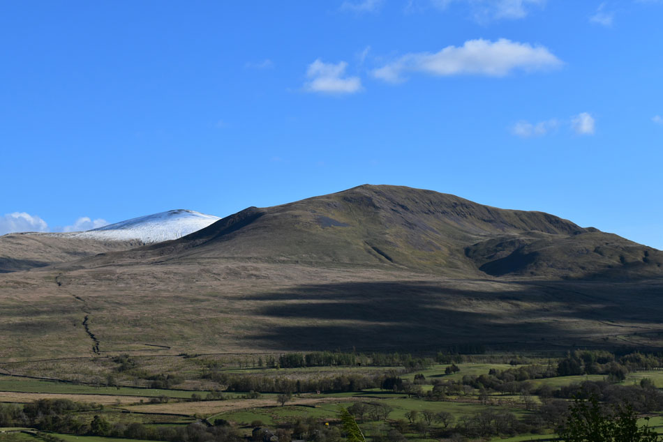
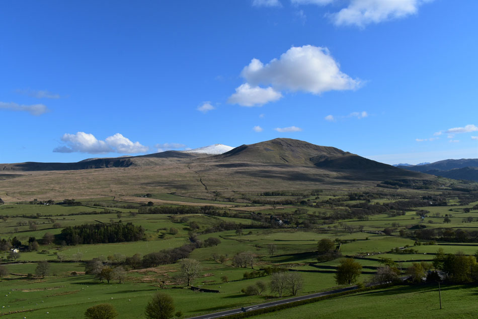
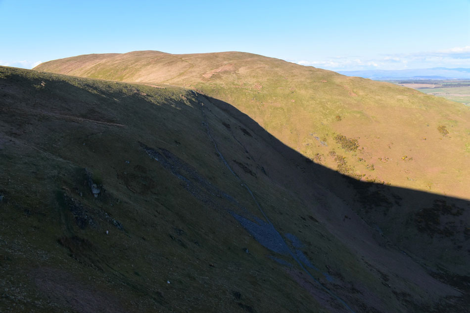
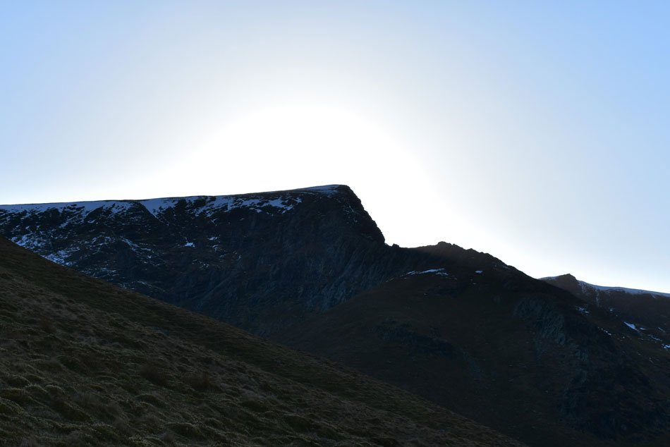
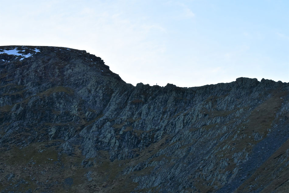
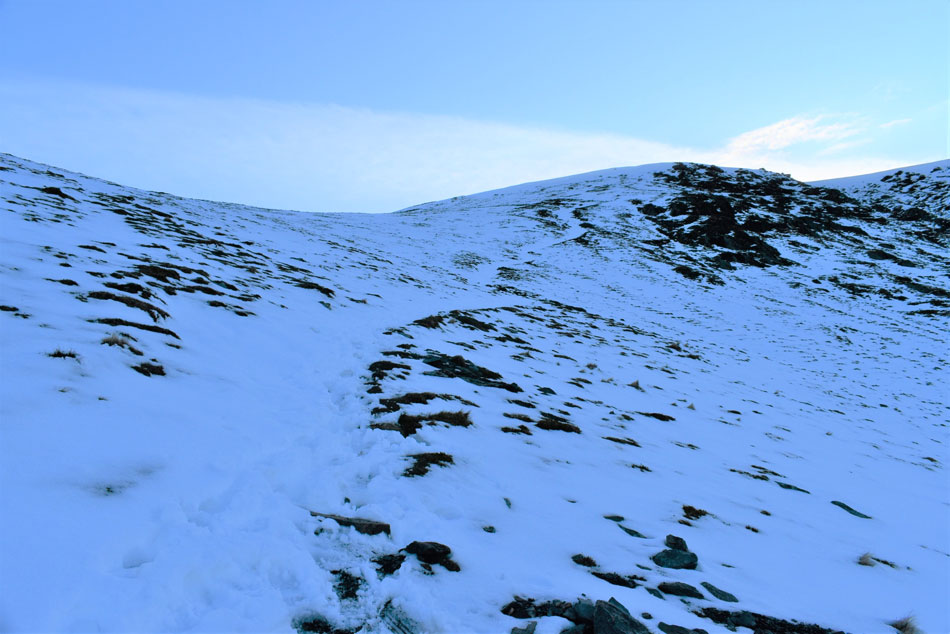
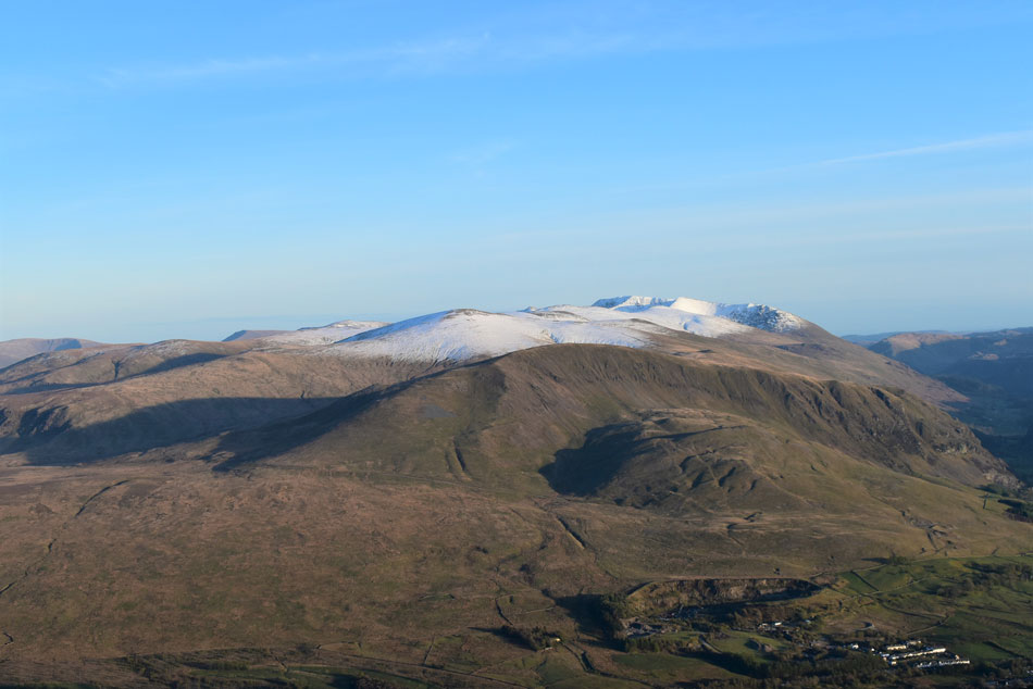
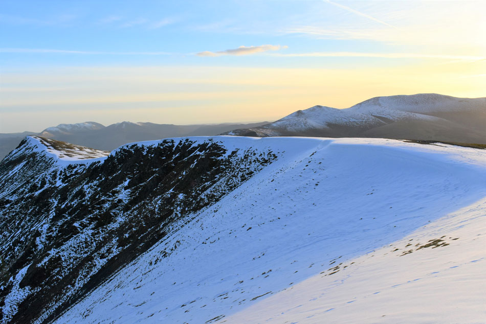
I knew some of Lakelands highest summits had received a blanket of snow given my last outing, in fact while driving home along Newlands Pass on Wednesday I watched a freak blizzard pass over Blencathra then Keswick only adding to the summits accumulation of snow. Today had been a dry day but nowhere near warm enough to start a thaw, the snow was still going to be there which meant I would have to adjust as I went along.

 
Wainwright Guide Book Five
The Northern Fells

Blencathra

This is a mountain that compels attention, even from those dull people whose eyes are not habitually lifted to the hills.


Overview
Ascent: 2,144 Feet - 653 Metres
Wainwrights: Blencathra
Visiting: 2, Doddick Fell - Scale Fell
Weather: A Bright End To The Day. Freezing Above The Summits. Highs of 10°C Lows of 2°C Feels Like -2°C
Parking: Parking Spaces, A66 Scales
Area: Northern
Miles: 5
Walking With: On My Own
Ordnance Survey: OL5
Time Taken: 3 Hours
Route: Scales - Mousthwaite Comb - Scales Beck - Scales Tarn - Blencathra - Doddick Fell - Scales Fell - Scales
 

Parking Details and Map
Nearest Post Code: CA12 4SY
Grid Reference: NY 343 126
Notes: Another popular layby which gives access to the ever so popular Blencathra. The layby is found at Scales opposite the White Horse Inn on the A66. Due to the popularity of Blencathra during peak seasons the layby can fill up quite quickly, there is room for around six to eight well parked cars. Parking is free.


Map and Photo Gallery


Threlkeld Knotts, White Pike, Clough Head and Great Dodd from Scales 10°C 6pm

The drive north allowed the rest my body needed and by the time I'd parked up at Scales I was feeling fresh and ready to go even though parts of my fingers were coloured in Harvest Gold fence paint. I managed to park behind two other cars at the lay-by opposite the White Horse Inn, Scales and before I kitted up I watched two walkers descending the steep path directly behind the Inn.

It was bright and pleasant but still a tad on the cool side so I add my soft shell before sweeping the boot making sure I don't leave nothing behind especially my head torch which I zip into my packs waist pocket. Allowing nearly two hours to ascend Blencathra was excessive but it also meant I could take my time, I mean really take my time!


Which meant I could take in views like this...
...towards the Mosedale Viaduct which was part of the Cockermouth, Keswick and Penrith Railway 1864 - 1972

Lovely evening light over the A66
It looks like Clough Head escaped the blizzard while Great Dodd received a fresh Winter coat...in May.

Still above Scales.
As I take in the view towards Great Mell Fell, the lay-by where I'm parked can be seen between the gap in the trees.

Souther Fell comes into view.
As I traverse the path above Mousthwaite Comb.

White Horse Bent and Bannerdale Crags from Mousthwaite Col.
At a leisurely pace I arrived at Mousthwaite Col and back into the late evening sunshine. Behind me two walkers and two fell runners approach from Souther fell, the fell runners will soon pass me but the walkers descend down to the footbridge over the River Glenderamackin then turn right towards Bannerdale, what a nice way to spend your Friday evening I thought.

Mind you...
Mine wasn't too bad either.

Looking back on Souther Fell over Mousthwaite Col.
 

I'm about to lose the sunlight.
With the sun dropping behind Sharp Edge I lost the light and with it a massive drop in temperature too, not half an hour ago I was in sunshine watching walkers come and go accompanied by the sound of traffic travelling along the A66, Now my hands are freezing, the light has faded and I find myself reaching for hat and gloves.

Solo walker Sharp Edge.
I picked my way up the stone footpath alongside Scales Beck and was met by a cool breeze once Scales Tarn was reached. I still had an hour to reach the summit and judging by how much snow was on the ground I might need it.

Ascending towards Blencathra summit.
I hung around Scales Tarn for a few minutes until the walker on Sharp Edge disappeared behind rock before starting my ascent towards the summit. Despite the snow I still took my time until I reached the snow line at approx 2,100ft (640m) I found the snow compact and easy to pass over although with height gained the snow depth went from a couple of inches to knee high in places - thankfully a whole lot of walkers had traversed this path before me and I was able to use their footholes which were still solid.

Looking down on Scales Tarn and Sharp Edge.
With Bowscales Fell (left) Bannerdale Crags (centre) and Souther Fell (right)

A chink of sunlight appears as I reach the top of the path.
It was hard work steeping in and out of the frozen snow but I still found myself ahead of schedule arriving at the summit with fifty minutes before sunset. There was nothing I could do about it now but I guess given the conditions underfoot I think it would be wise not to watch the complete sunset as I wanted to use any remaining light to descend the snow line by.


Extended clear views.
Looking south over Threlkeld Knotts, Clough Head, Great Dodd, Raise, White Side, Helvellyn Lower Man and Helvellyn.

Skiddaw and Bakestall from Blencathra summit.
One of the greatest things about being on the hill so late is you tend to get the summits to yourself, it's unheard of to have Blencathra summit to yourself and not only that it seemed I had the whole mountain to myself. It was just me, a cold windchill and this fantastic view of the sun setting over Skiddaw.

Light and snow.
 

The top of Gategill Fell from Blencathra summit.
 

Footprints.
 

Afterglow.
 

Skiddaw and Bakestall.
I left the summit and descended towards the unnamed tarn which had frozen and covered in snow, unluckily for some who had walked over the tarn before the ice gave way, thankfully the tarn is probably less than a foot in depth.

I think I'm being followed.
 

Loving the sunlight light when reflected against the snow.
 

Sea of tranquility.


It's almost time to leave.
I still have plenty of time but the windchill is causing me to shiver and I'm starting to lose the feeling in the ends of my fingers, it's shockingly stunning but freezing all at the same time.

Time for one last photo.
 

Sharp Edge by sunset.
 

The White Horse Inn, Scales.

I made my way back towards the summit then located the top of the zigzagged path which was also under a foot of frozen compacted snow which required little effort and soon I was zigging and zagging my way off the summit. The amount of foot traffic had thawed out one side of the path where I could pick up pace, cast in shadow and with a pink afterglow to the north east I continued my descent over Doddick Fell then Scales Fell before the A66 came into view. Traffic was sparse now but in the fading light what headlights I did see came as a strange comfort, I was close. The path leading down Scales fell was heavily eroded in places and new paths had been cut through the undergrowth which are also starting to get eroded, Scales Fell needs a solution but I know this has been tried before with little affect.

I pass the point where I left the footpath for the traverse above Mousthwaite Comb and flick my head torch on and the footpath is illuminated before me, I should have switched it on ten minutes ago but I guess my eyes had started to adjust to the fading light. The rear of the White Horse Inn appears and I take in the last descent of the week. The Inn is quiet for 9pm and so too is the A66 which I cross without having to negotiate any traffic. With my car unlocked I throw my gear into the boot not forgetting to take out the sandwich I'd made for the journey home. I glance at my watch it's 9.05pm It had taken me two hours to reach the summit and only forty minutes from summit back to car, christ, my knees are gonna pay for it in the morning.


Back to top