|
Seatallan & Outliers |
 |
 |
1st June 2021 |
 |
|
To start I'd like to bring you all up to speed, I'm still walking from a list of 'must do' walks which I concocted during the lockdowns, normal walking and a return to walking the Birketts will resume but I'm not sure when as it's a pretty long list. I last walked this route during my Harry Griffin Lakeland 2,000 footers project back in 2015 - it was a walk that stood out for so many reasons and a walk, when I look back at that project stands out as one of the best.
I've chopped and changed the route slightly and not included the out and back to Iron Fell (Ennerdale Fell) and as it turns out I also left out Scoat Fell and Steeple (two fells that I included) as the heat of the day got the better of me not helped because I was suffering from heatstroke brought on from a family BBQ on Sunday and spending too much time in the sun on Monday...I guess being the typical bloke I didn't feel the need to add sun cream in my own back garden and I paid the price for that with todays walk.
I can walk in most conditions but even when I'm feeling tip-top walking in heat affects me like no other which I guess is the reason why I always over compensate in carrying excessive amounts of hydration - today I'm carrying 3ltrs in my bladder pack plus x2 500ml bottles of Lucozade Sport in my packs side pockets. Even with just the essentials my pack seemed to groan under its weight the flip side of which mean't I could sip at free will, the downside of course meant it weighed the same as a sleeping six year old tied to my back. |
|
| Wainwright Guide Book Seven |
 |
| The Western Fells |
Middle Fell
As a viewpoint for the Wasdale Fells, the summit is magnificently placed. |
 |
| |
|
|
|
|
| |
|
Overview |
|
|
| Ascent: |
3,760 Feet - 1,147 Metres |
| Wainwrights: |
4, Middle Fell - Seatallan - Caw Fell - Haycock |
| Weather: |
Hot, Dry, Humid & Sunny. Feeling Fresh Across The Summits. Highs of 24°C Lows of 18°C |
| Parking: |
Roadside Parking, Wast Water |
| Area: |
Western |
| Miles: |
11.5 |
| Walking With: |
On My Own |
| Ordnance Survey: |
OL6 |
| Time Taken: |
6 Hours 15 Minutes |
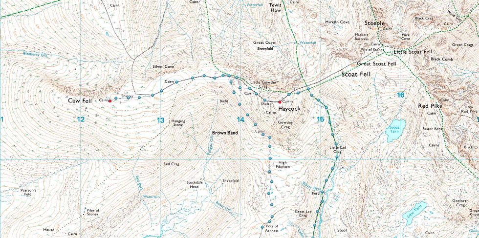
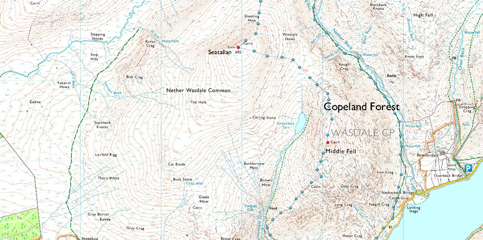
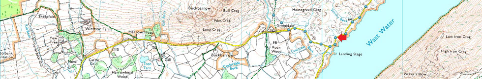
| Route: |
Wast Water - Greendale - Greendale Gill - Middle Fell - Seatallan - Potts of Ashness - Brown Band - Caw Fell - Little Gowder Crag - Haycock -Nether Beck - Netherbeck Bridge - Wast Water |
|
| |
|
Parking Details and Map |
|
|
| Nearest Post Code: |
CA20 1EU |
| Grid Reference: |
NY 151 055 |
|
| |
|
Map and Photo Gallery |
|
|
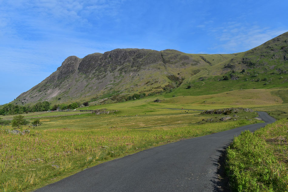 |
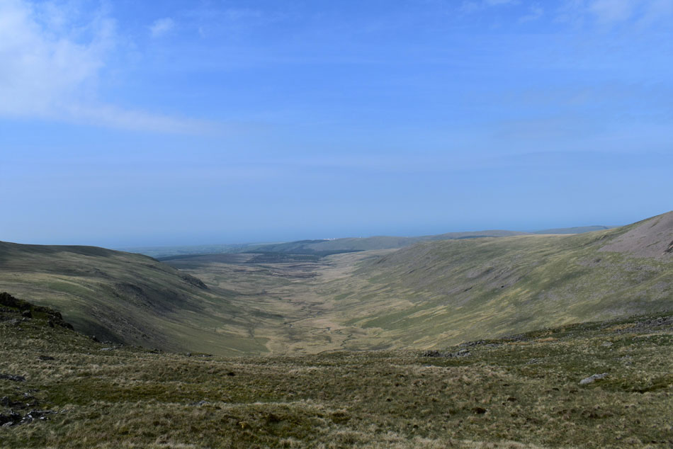
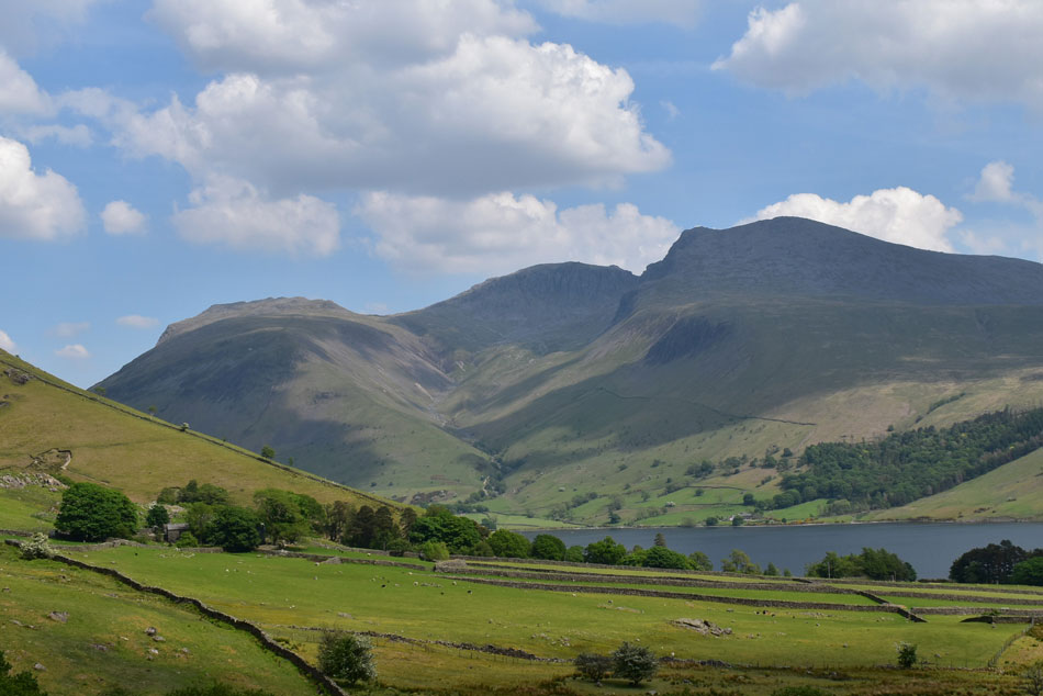
| Buckbarrow above Greendale 08:30am 23°C |
Still not feeling right I hydrated during the long drive west and arrived at the parking spaces at Wast Water around 8.00am The valley was partly in shade with a lovely breeze which compensated for the double figured early morning temperature. After drinking one 500ml bottle of Lucozade I started on a second bottle while lacing up at the back of the car, if I was going to flag today it wasn't going to be because I was dehydrated.
The car parking spaces were quickly filling up mostly by vans with canoes or paddle boards attached to roof racks but all that mattered for now was that I was parked and that I needed to make sure nothing was missed during my kit up, I was certainly feeling a lot more relaxed than I was half an hour ago when I feared I wouldn't be able to park at my desired spot. After one final sweep of the boot I locked the car, clipped my car keys into my packs security pocket and headed towards Greendale passing a young girl who was squeezing her car inbetween two camper vans. |
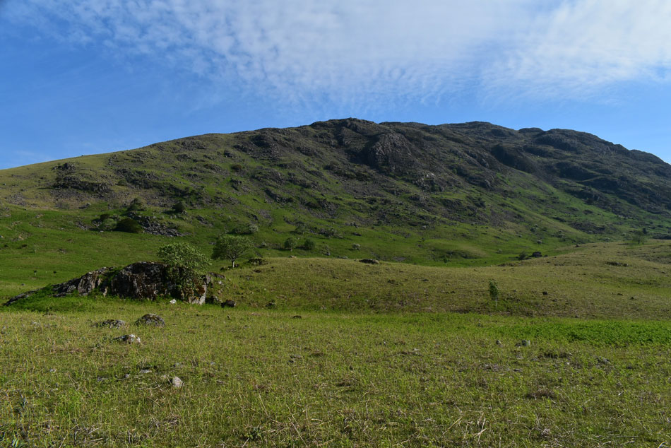 |
| Middle Fell broad side. |
| I left the tarmac opting to reach the slopes of Middle Fell via a narrow path which cut through young Bracken and soon reached the main path further up. It was from here I spotted a young couple who were starting their ascent having left their car at Greendale, they hit the fell in good stead which created a large gap between us which I preferred, not that I'm anti-social quite the contrary, but I feel by having this gap they won't feel like they're being watched and if they felt the need to keep stopping then they could without being overtaken by me if that makes sense. |
 |
| Looking back on IIIgill Head and the Wast Water Screes. |
| Even though I had only been walking for less than half an hour the heat and humidity was stifling, the breeze that was helping to cool things down had now been replaced by pockets of hot air, the same kind of heat that hits you when you open your oven door, or at least that's the way it felt. |
 |
| Views into Greenhead Gill. |
It was becoming clear that the heat of the morning was starting to affect me finding myself slowing down. Behind me the young girl who I had seen parking earlier was closing in on me and within minutes she would overtake the 'old man' I made it easier for her and stopped to fuel up on more Lucozade but just twenty yards back, she stopped too...Up ahead the couple continue between short stops too and soon they disappear out of view.
Further up the slope the young girl finally over took me then shortly afterwards I slipped past as she rested hand on hips off path "you just gotta keep picking at it I joked" she smiled back while nodding. At least I thought, it wasn't just me who was affected by the heat. |
 |
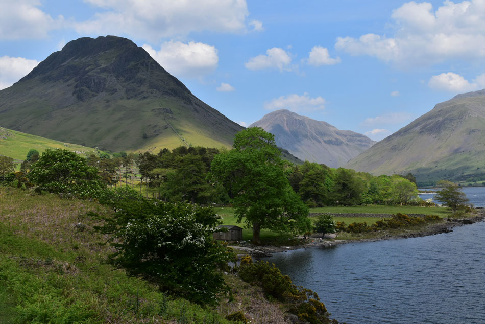
| Red Pike (Wasdale) Kirk Fell, Great Gable, Yewbarrow and Lingmell from Middle Fell summit. |
| The couple re-appeared as I walked towards the summit with the young girl gaining ground not far behind me, as I approached the couple left and for a few moments I had the summit to myself. By now I was back in the breeze and how welcome it was, it was still hot and stupidly humid but not as much as I'd experienced on the lower slopes. The young girl approaches and takes in the view of the Scafells while I turn heel and take in the grassy summit plateau before I start my descent. This was my composure time. Did I need to rethink this route feeling how I do now or just go at it...I feel the latter is the best option for now. |
 |
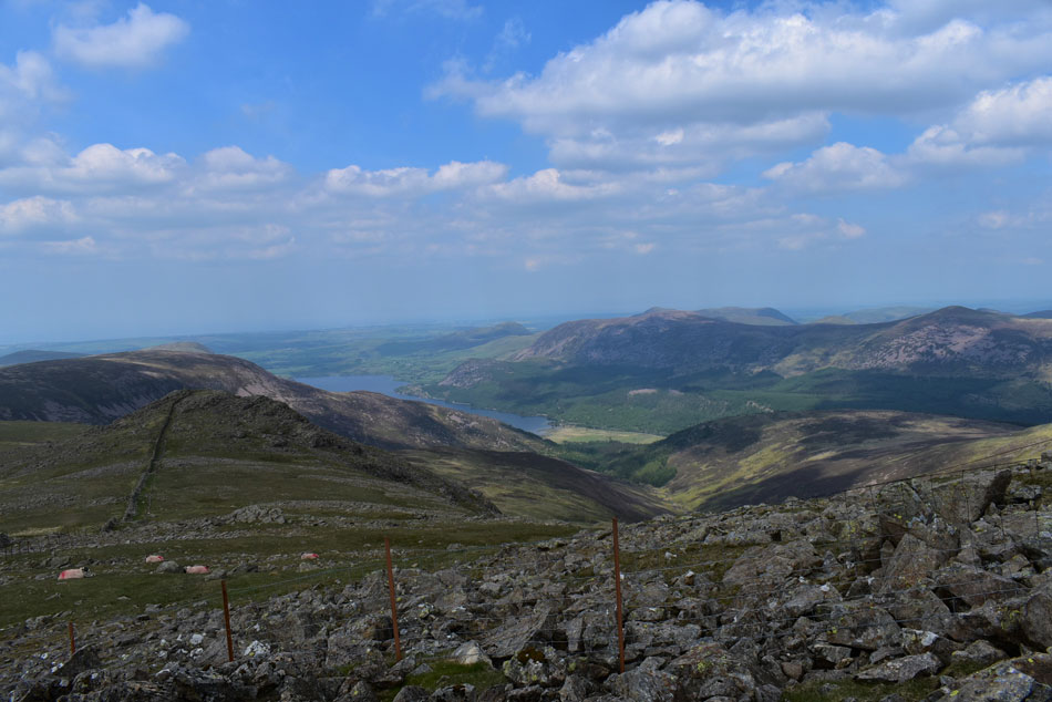
| The view over Knott Ends towards Over Beck, Yewbarrow, Kirk Fell, Great Gable, and Lingmell. |
| As you can see it isn't the clearest of views with haze hampering any long distant views which I hope will lift during the course of the day. |
 |
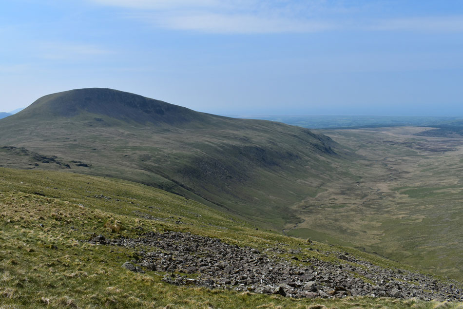
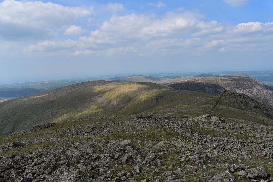
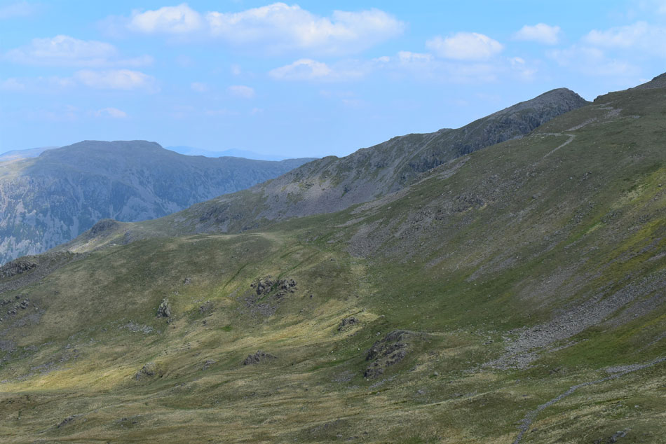
| Descending Middle Fell with views of Seatallan (L) Pots of Ashness (C) Haycock (C right) and Caw Fell (disant C) |
| Seatallan had been cast in shade for the best part of the morning and I hoped it would stay that way during its 775ft of ascent which is direct from the grassy col below. This ascent is so steep in places the handles of my walking poles will be above my head. Down below the couple are also ascending Middle Fell and I wondered of their route. |
 |
| Middle Fell and Greendale Tarn from the start of my ascent on Seatallan. |
| The grassy col is notoriously boggy even after long dry spells and today it was no different with bog water squelching up over the laces of my boots. The couple who I'd seen earlier had stopped to add sun cream and 'mornings' were shared as I persevered through the bog before beginning the steep ascent of Seatallan. |
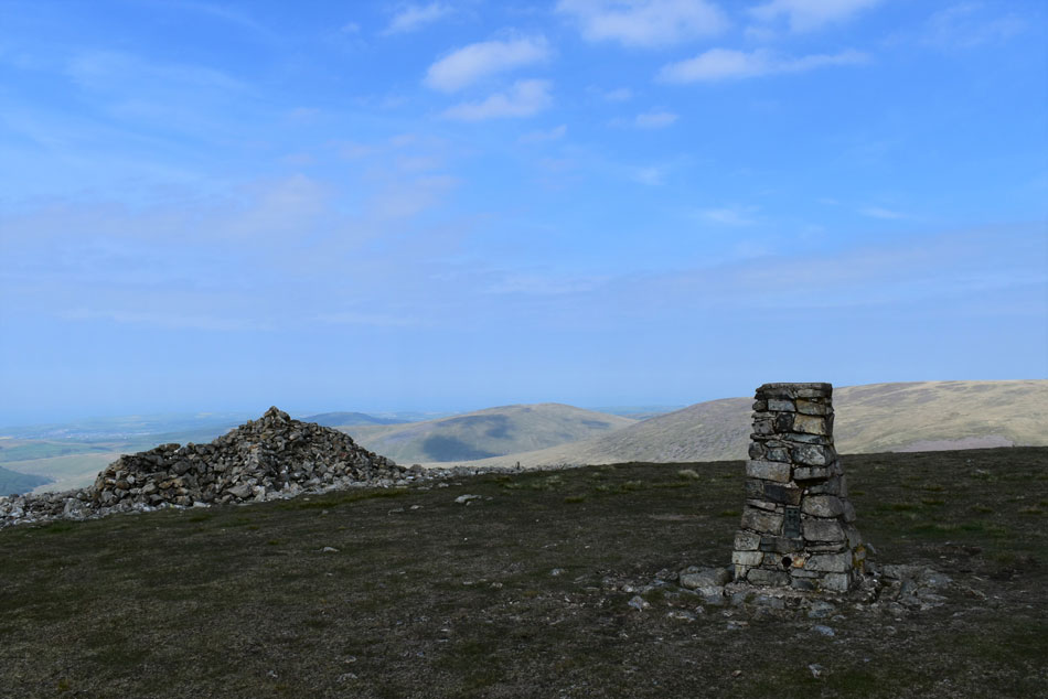 |
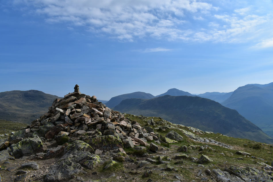
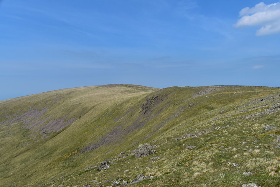
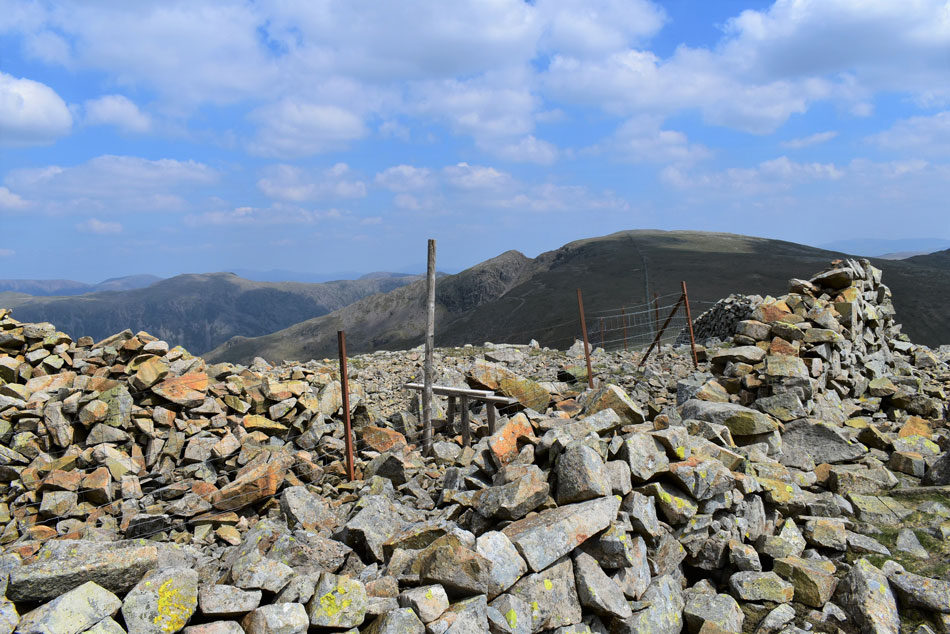
| Seatallan summit Trig Point and shelter. |
I seemed to regain strength helped on by the shade and breeze that had turned gustier to the point I thought about adding my soft shell. With no false summit I crested the shoulder and walked towards the trig point while controlling my breathing - poles held aside in 'reached summit exhausted position' ! The young couple weren't far behind which I had noted from their conversation during the ascent and soon one turned into three "it's a bit cooler up here I smiled" the young lad nodded "I'm so glad it's clouded over, I thought my head was going to explode during our ascent of Middle Fell" again I was pleased it wasn't just me who suffered during that ascent.
It appeared that this was their first summit of Seatallan and were planning to descend via the south west ridge going onto Buckbarrow, when asked my route I pointed out the traverse below Haycock via Bown Band, Caw Fell, Haycock, Scoat Fell and Steeple to which the lad replied "blimey you mean business" I laughed replying that I was trying to get my fell fitness back 'the hard way' "you're not joking" he nodded. We all realised it was too cool to be standing in what can only be described as a 'brisk wind' so we parted with 'enjoy the rest of your day' oddly, despite their chosen route it wasn't the last I would see of the couple. |
 |
| Brown Band above the Blengdale Valley with Haycock (R) and Little Gowder Crag (L) Pots of Ashness (lower R) in shade. |
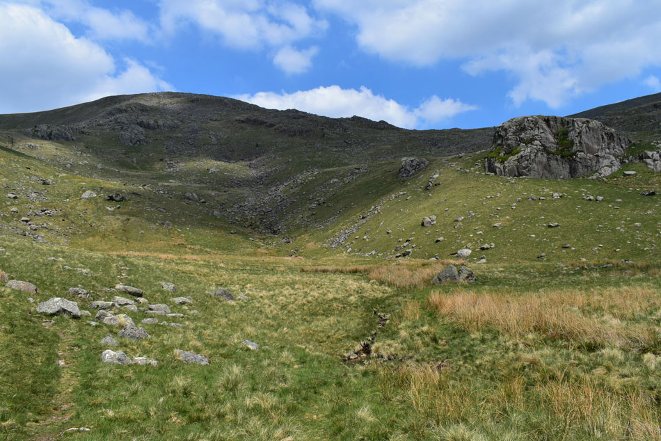
| The key to a successful traverse of Brown Band is to keep/gain as much height as possible (approx at the 2,145ft contour) just below the south west flank of Haycock below the scree where a vague path can be found. It is upto the walker where he or she chooses to ascend from the valley head but I always choose the grass section (left corner) which will ascend the walker towards a sty between Little Gowder Crag and Caw Fell. |
 |
| Looking out over Nether Beck towards Scoat Fell (L) Pillar (C) and Red Pike (Wasdale) with Kirk Fell seen far right. |
| Those with a keen eye might just be able to spot Scoat Tarn below right of Scoat Fell. |
 |
| Traversing Brown Band/Stockdale Head with Haycock seen right. |
| With the descent of Seatallan underway I confirmed my route over Brown Band which meant following a grassy path over Pots of Ashness which forked left and right. I took the left fork and continued towards the scree below Haycock. This path also leads towards a zigzag path which would ascend Haycock via the steep grassy slope seen towards the left of the scree. |
 |
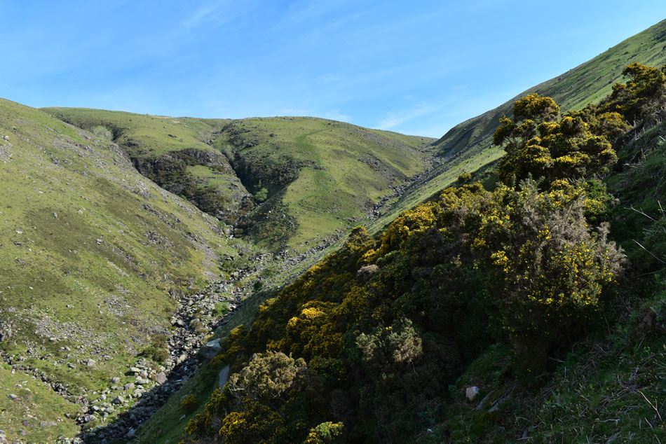
| Blengdale. |
| With the lower slopes of Caw Fell seen right, Ponsonby Fell centre and Swainson Knott distant right. |
 |
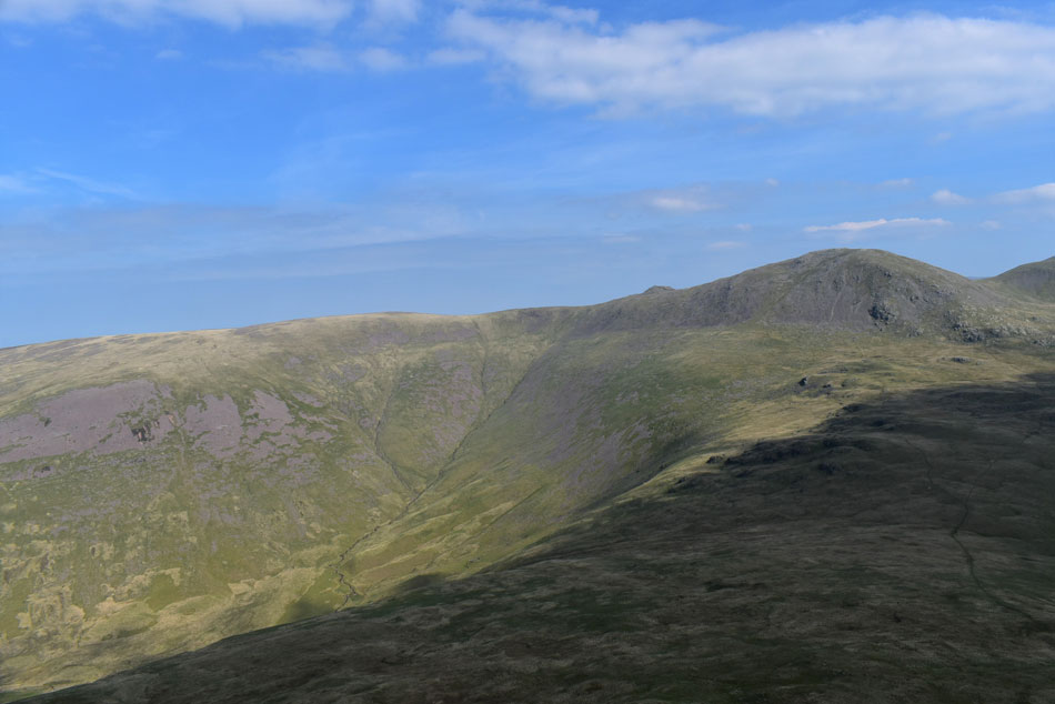
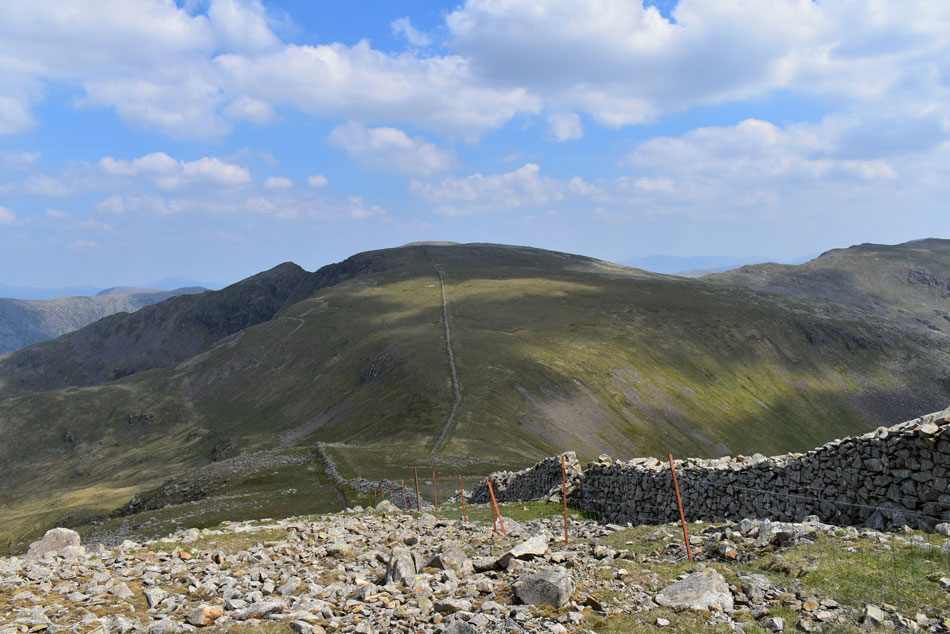
| Looking back on Seatallan. |
| Rising steeply from the Blengdale valley. |
 |
| Caw Fell. |
| It was around half way through the traverse did I spot the couple who I had been talking to at Seatallan summit also join the traverse some distance behind me which almost stopped me in my tracks, had they been inspired to follow me and not descend Seatallan south west ridge? Seeing as they were quite new to the fells I found their move a tad bold, my main worry being did they have enough hydration now that they were committed to the route? for now at least anyway. |
 |
| Walking bliss. |
| I gained the shoulder of the ridge and crossed the mentioned sty then joined the blissful grassy trod towards Caw Fell summit, it was just how I always remembered Caw Fell, hot, breezy with bird song carried by the wind. It was time to rejuvenate and what better place to do it in. |
 |
| Lank Rigg from Caw Fell summit. |
| I arrived at Caw Fell at exactly 11:50am and decided on a quick bite to eat which came in the form of one of two mini pork pies washed down by lashings of Summer Fruit juice, I drank gallons of the stuff. Five minutes later I was back on my feet returning my steps now heading for Little Gowder Crag and Haycock. |
 |
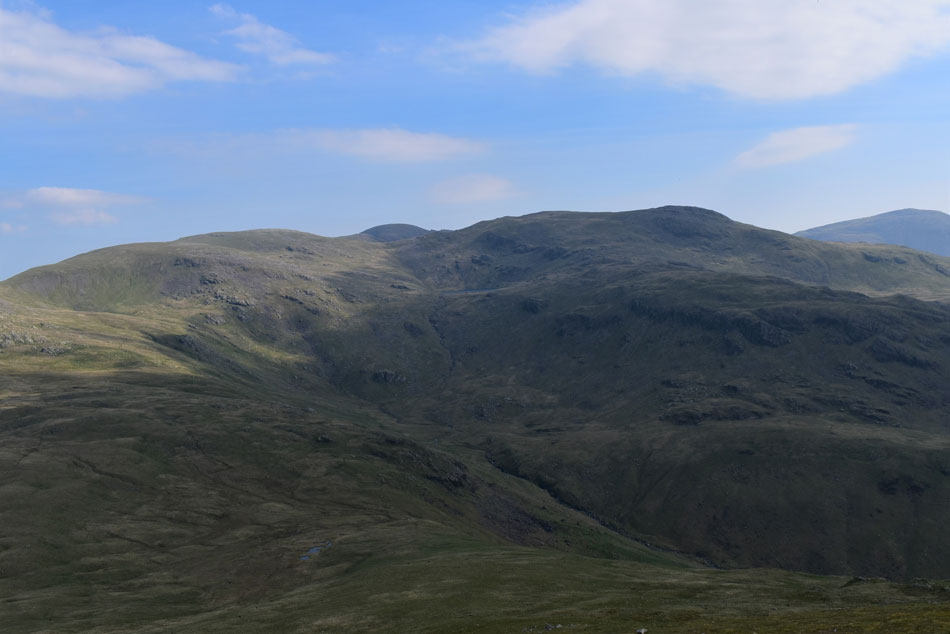
| Looking back on Caw Fell. |
| It was during that return to Little Gowder Crag did it hit me, I didn't know exactly what 'it' was only that my engine was sluggish and at times, powerless. By now my forearms were glowing red and tender and when the breeze hit them the discomfort was quite painful. Had I inadvertently topped up the Sunstroke that I thought I was getting over...it was looking that way. |
 |
| Views of Scoat Fell, Steeple, Pillar, Little Gowder Crag and Haycock. |
| I popped down a couple of paracetamol and an ibuprofen tablet and finished off the first bottle of Lucozade and I started to feel better but I knew mentally I was going to have to dig deep if I was going to reach Scoat and Steeple in good shape. |
 |
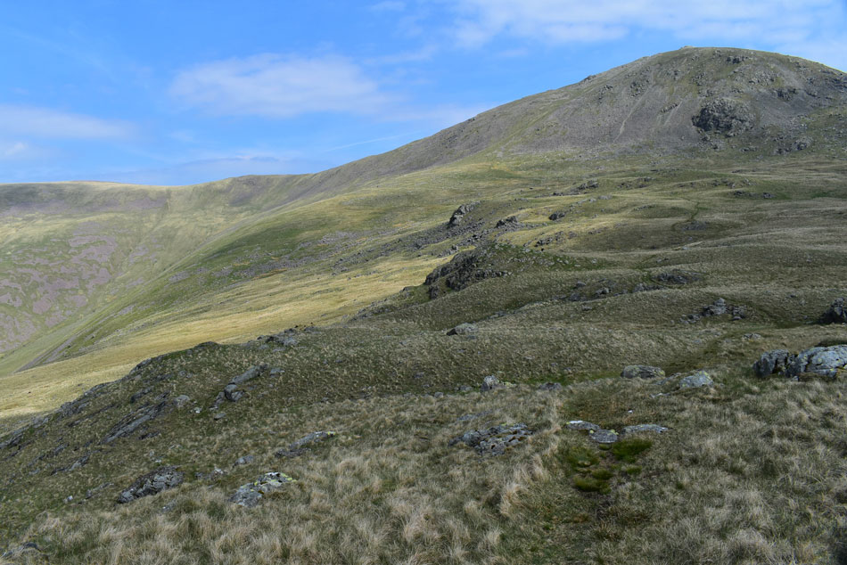
| Looking back on Little Gowder Crag (R) and Caw Fell (L) |
| With Iron Crag (Ennerdale Fell) seen beyond. |
 |
| A wider view of the Ennerdale valley comes into view with Bowness Knott, Great Borne and Starling Dodd seen right. |
| As steep as the ascent on Haycock looked experience told me it was nowhere near as daunting as a great path weaved through rock, grass and boulder all the way on to its summit which helped heaps restoring morale, however temporary it lasted. |
 |
| |
| |
 |
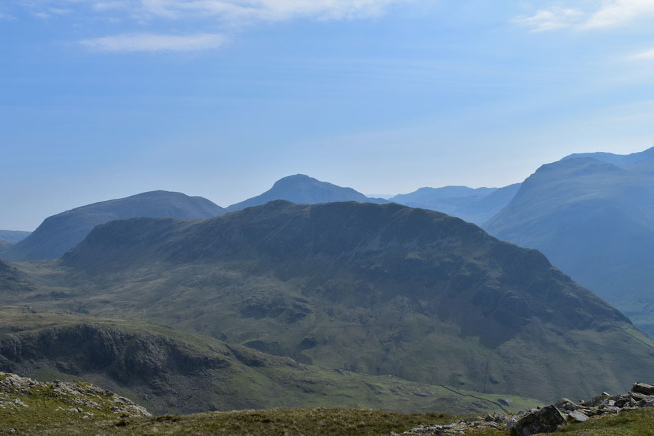
| High Crag, Steeple and Scoat Fell from Haycock summit. |
| Within twenty minutes I was standing at Haycock summit alone and wondering the whereabouts of the couple I had spoken to earlier. The midday sun was tapping away at my now faulting energy levels which confirmed my fears, Steeple and Scoat Fell no matter there proximity were "two fells too far" I left the summit while trying to convince myself I had made the right decision. Beating myself over such decisions is what I'm good at, it's the one thing I wish I could change about myself but there was nowt I could do and so with what energy I had left, I ordered myself to enjoy the rest of the walk...it worked. |
 |
| Feeling a tad deflated while descending Haycock. |
| With Steeple and Scoat Fell so close. |
 |
| Steeple over Great Cove and Mirkiln Cove |
| With the Tewit How ridge dividing both coves in the foreground, High Crag seen beyond the Ennerdale Valley over on the left. |
 |
| Red Pike (Wasdale) Scafell Pike, Sca Fell and IIIgill Head from the head of Little Lad Crag/Nether Beck. |
| |
 |
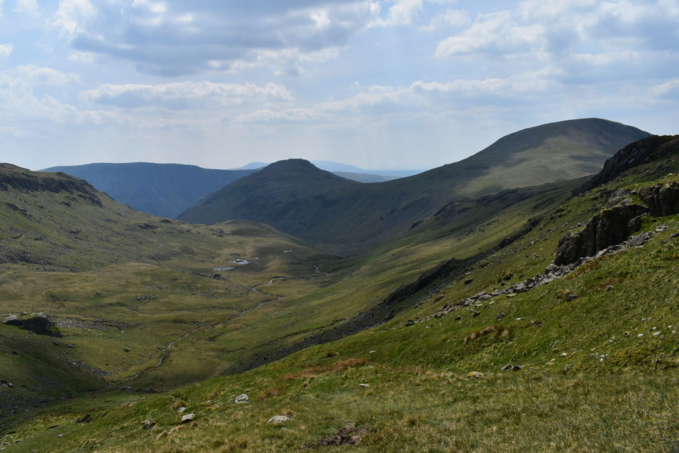
| Turning around to view the col between Haycock (L) and Scoat Fell (R) |
| What an amazing view with all that blue sky above. |
 |
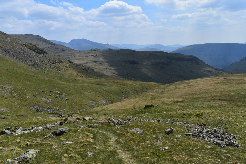
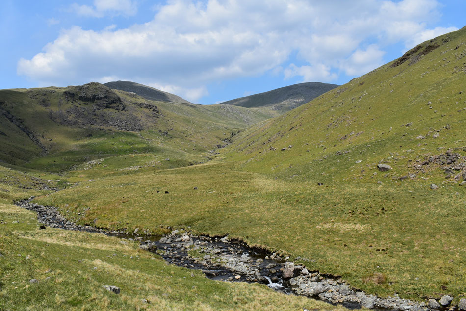
| The Nether Beck valley from Little Lad Crag with Middle Fell seen (L) and Seatallan (R) |
| As the tablets wore in I started to pick up again, this view helping more than any pill could. I was now looking forward to a bite to eat but I'll wait until I've descended further and find a nice spot where the wind has died down to a gentle breeze. |
 |
| Lunch with a view. |
| Here looking towards Scoat Fell south ridge, a route that David, Rod and I have been planning to walk for sometime now but have never gotten round to it.. |
 |
| Haycock and Scoat Fell from Nether Beck with Great Lad Crag appearing left. |
| Feeling much perkier I started to second guess had I made the right decision in not including Scoat Fell and Steeple then I remembered how I felt when I made that decision, I always find the first decision is the one you should always go for especially when it's the first thing that pops into your head. Had i made the right decision? Of course I had. |
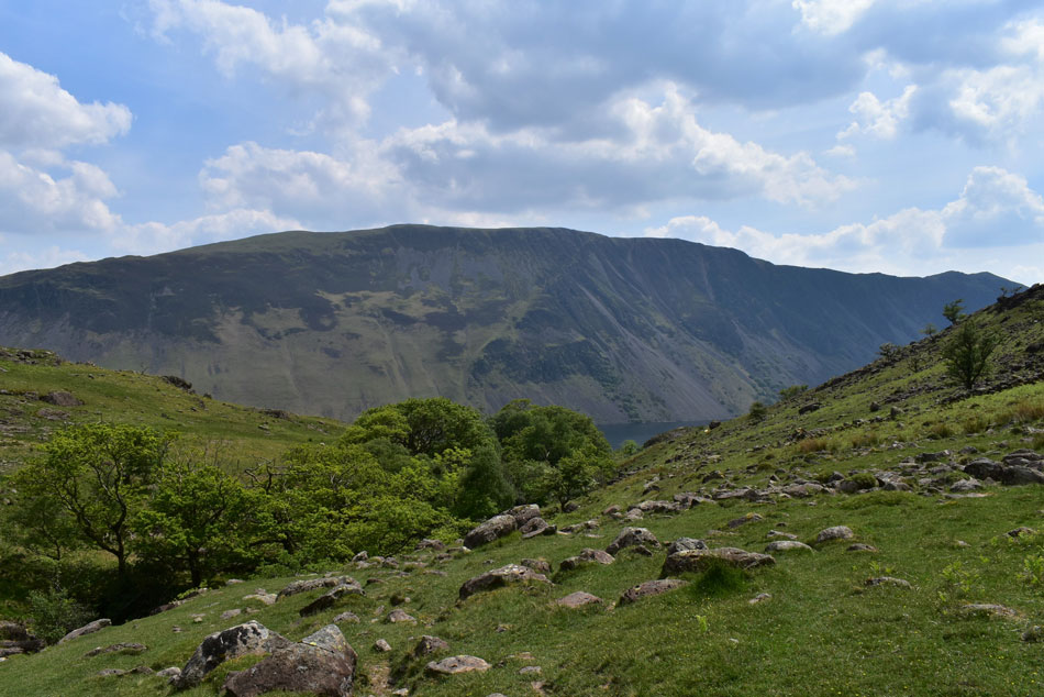 |
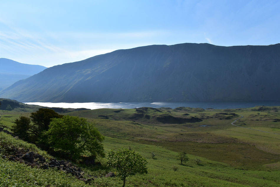
| Illgill Head and the Wast Water Screes with Whin Rigg appearing far right. |
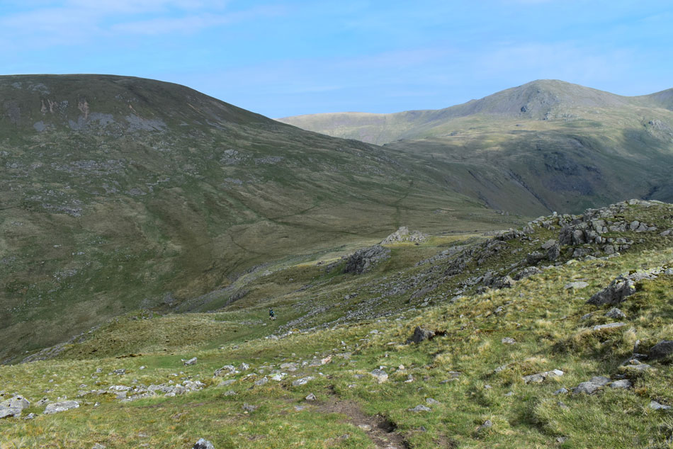
| I was able to enjoy my return to Wasdale via Nether Beck where I eased off the gas and explored the valley visually at my hearts content. The going underfoot is predominently rough but the views more than make up it. Up ahead a group of Gill Scramblers appear and from my lofty path I wished I was in there with them. |
 |
| Yewbarrow, Lingmell and Scafell Pike. |
| Seen as I near Netherbeck Bridge. |
 |
| Lingmell, Scafell Pike and Sca Fell from Netherbeck Bridge. |
| Traffic travelling to and from Wasdale Head rattled across the cattle bridge below which brought me back into the real world as did the heat of the valley which was scorching my forehead a crispy brown. I had the option to leave the fell side at Netherbeck Bridge but chose to continue the entirety of the path which will lead me out below Foegill Crag on Middle Fell. |
 |
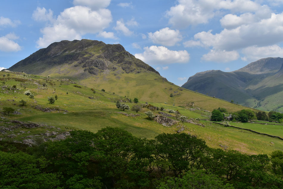
| Yewbarrow, Great Gable and Lingmell. |
| Joining the road I was able to take in this view of Yewbarrow below a Summer house nestled in the trees on the banks of Wast Water where a couple had a BBQ on the go while children paddled. |
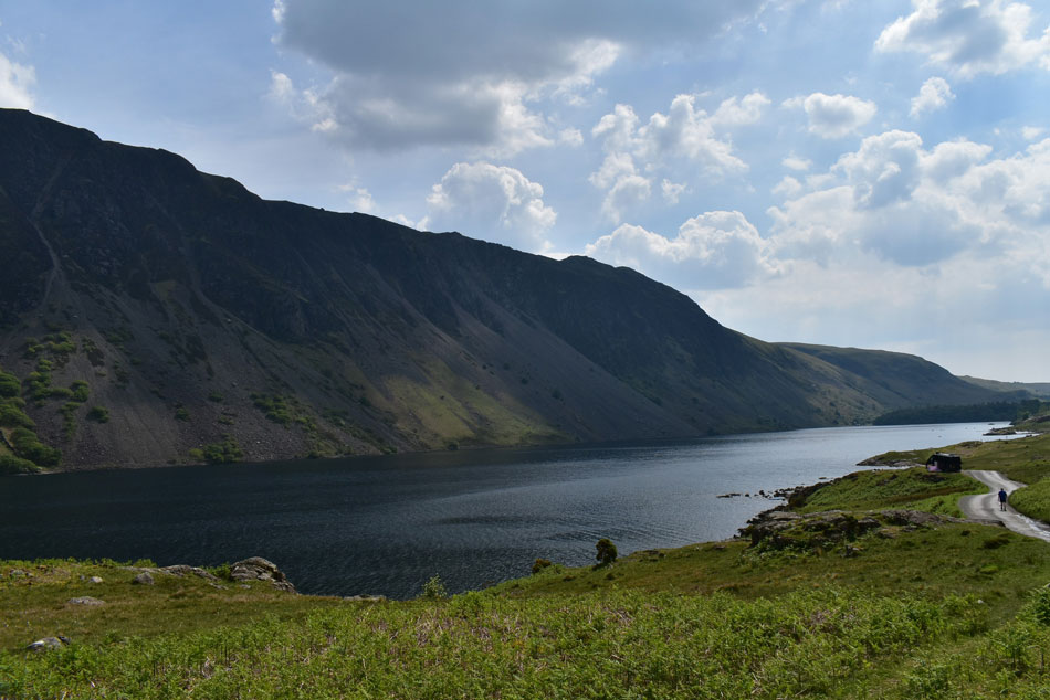 |
| Wast Water Screes and Whin Rigg. |
I still had half a mile or so to walk until I reached the parking spaces, which I walked while the afternoon sun scorched my already baked skin to a crispy brown albeit a tad on the tender side. Traffic continued to come and go some of which I had to step aside to let pass while others took there chances just missing the well done bloke. My car was surrounded with couples and kids in wet suits whose cars had dinghies, canoes and paddle boards strapped to their roofs and despite the area resembling a hot Summer day at the beach the mood was light, everyone just wanted to enjoy the sunshine any which way they could.
My means of enjoying the sunshine is walking the Lakeland fells, I dreamed of it during the lockdowns, I dreamed of hearing bird song over the wind and watching the wild grass sway, I dreamed of pushing my limits but not while being burned to a crisp, losing my engine and feeling a tad on the sick side. Lessons have been learned and next time when Paula tells me off for not adding sun cream maybe I'll listen. What a day though. |
|
| |
| Back to top |
 |
|