|
Whatshaw Common to Seat Robert |
 |
 |
31st July 2021 |
 |
|
I hadn't been back long from an 18 miler on the mountain bike last Sunday evening when I received an email from David suggesting we opt for a more quieter day on the hill and use two cars to take advantage of the Shap and Wetsleddale fells. I'm sure I can speak for Rod when I say it was one of those emails we couldn't return quickly enough and although it was only twelve months ago since Rod and I walked a section of this route we were eager to return to this special corner of Lakeland which is home to what I personally refer to as 'Lakelands best mile'
By using two cars David and Rod would leave one car at Wetsleddale Reservoir then take the short drive south to meet me at Shap Road summit. Picking up the track directly from the A6 we would follow the stone wall over Whatshaw Common, Little Yarlside, Great Yarlside, Harrop Pike from where we would track westerly to Grey Crag. Leaving Grey Crag we head north westerly crossing a very damp Greycrag Tarn before ascending Tarn Crag from where we will descend into the Mosedale valley. After paying a quick visit to Mosedale Cottage the return stretch would see us collect Scam Matthew, High Wether Howe and finally Seat Robert before descending back to Wetsleddale, we didn't have the best start weather wise but boy we ended the walk with a hot sun on our backs before the forecasted showers arrived. |
|
| Wainwright Guide Book Two |
 |
| The Far Eastern Fells |
Grey Crag
There is nothing remarkable about Grey Crag, but here Lakeland may be said to start and moorland country to end, and the transition is sudden: the quiet beauty gives place to romantic beauty, placid scenery to exciting |
 |
|
|
|
|
| |
|
Overview |
|
|
| Ascent: |
2,000 Feet - 610 Metres |
| Wainwrights: |
2, Tarn Crag (Longsleddale) - Grey Crag |
| Visiting: |
Whatshaw Common - Little Yarlside - Great Yarlside - Harrop Pike - Scam Matthew - High Wether Howe - Seat Robert |
| Weather: |
Low Cloud AM, Turing Brighter Noon Onwards, Feeling Mild With Light Breeze Across The Summits. Highs of 17°C Lows of 15°C |
| Parking using x2 cars |
Wet Sleddale Reservoir - A6 Shap Road Summit |
| Area: |
Far Eastern |
| Miles: |
12.5 |
| Walking With: |
David Hall & Rod Hepplewhite |
| Ordnance Survey: |
OL5 & OL7 |
| Time Taken: |
7 Hours |
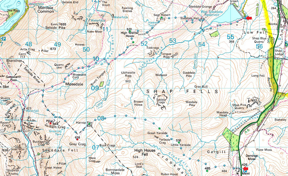
| Route: |
A6 Shap Road Summit - Whatshaw Common - Little Yarlside - Great Yarlside - Harrop Pike - Grey Crag - Greycrag Tarn - Tarn Crag - Mosedale Cottage - Mosedale Beck - Scam Matthew - High Wether Howe - Seat Robert - Sleddale Hall - Wet Sleddale Reservoir |
|
| |
|
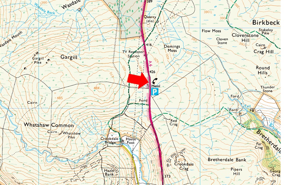
Parking Details and Map |
|
|
| Nearest Post Code: |
CA10 3TE |
| Grid Reference: |
NY 553 706 |
| Notes: |
The parking spaces are found about two and half miles south of Shap village at Shap Road Summit where a plaque stands in memorial to the drivers and crews who made the building of the A6 possible over Shap Fell at 1,350ft above sea level. There is room for around eight to ten well parked cars. Lookout for the Repeater Station and the many Electric Pylons which is where you will find the parking spaces. Parking is free. |
|
| |
|
Map and Photo Gallery |
|
|
 |
| |
| |
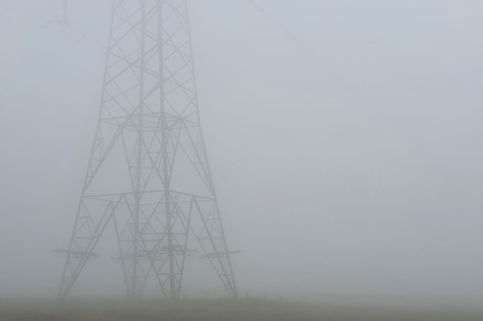 |
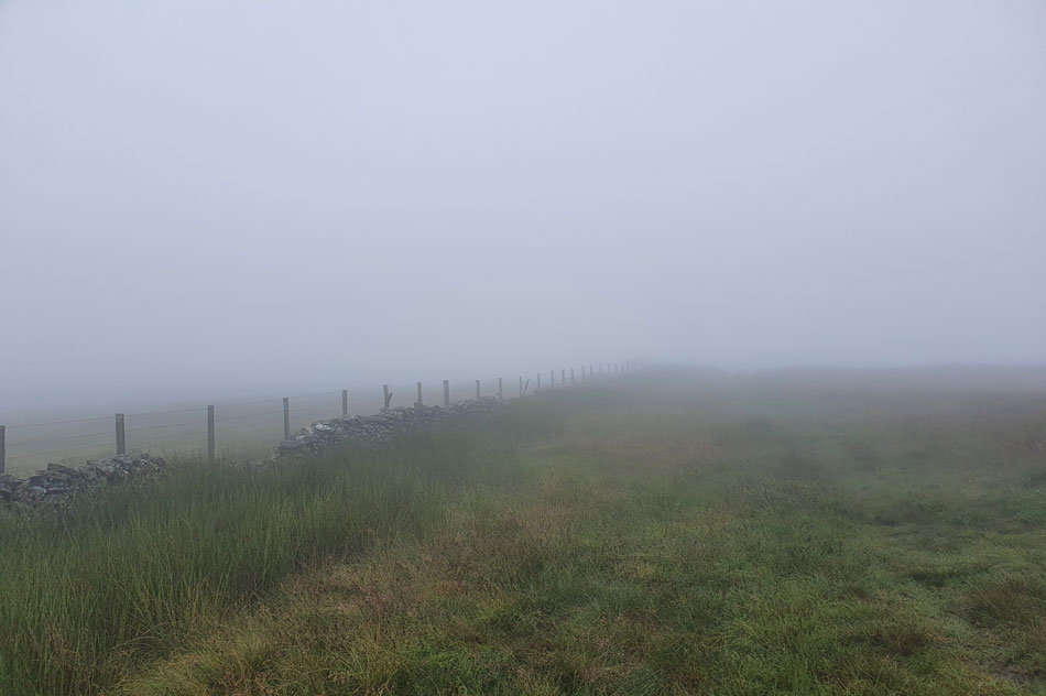
| A6 Shap Road summit in cloud 07:50am 15°C |
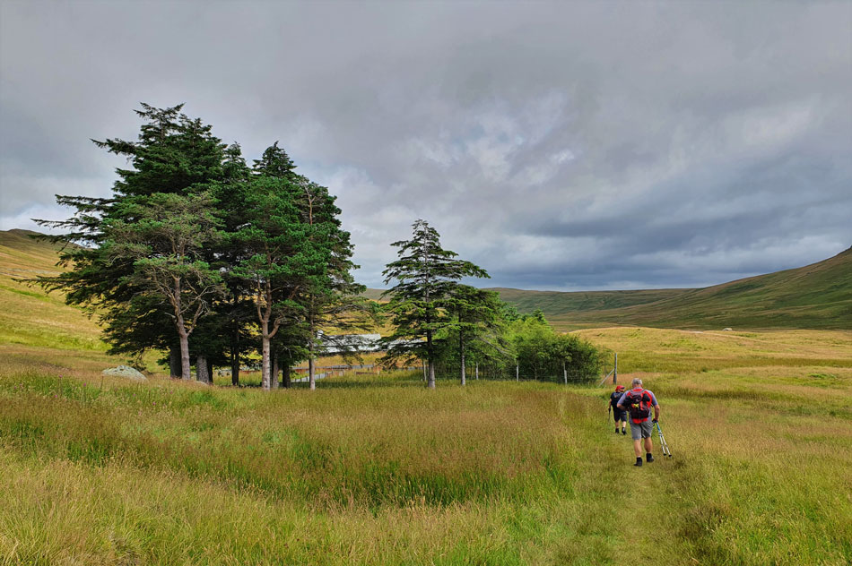
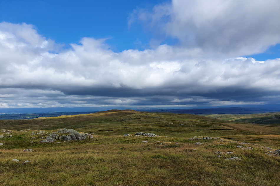
It wasn't the best forecast but we decided to go ahead anyway hoping that the showers forecasted for later this afternoon would arrive once we had completed the walk and it was low hill cloud which greeted us as David and Rod joined me at Shap Road summit where the cloud was so dense the only way we knew the electricity pylons where there was by the humming noise they gave off. It was dry and even mild and that was main thing. Despite the cloud we all opted to wear shorts topped up with a soft shell or fleece. Instead of picking up the track behind the Bothy we continued along the A6 for a short distance before turning right at a gate which I tried to open inwards, I laughed my stupidity off with "ahh it's an outie not an inny gate"
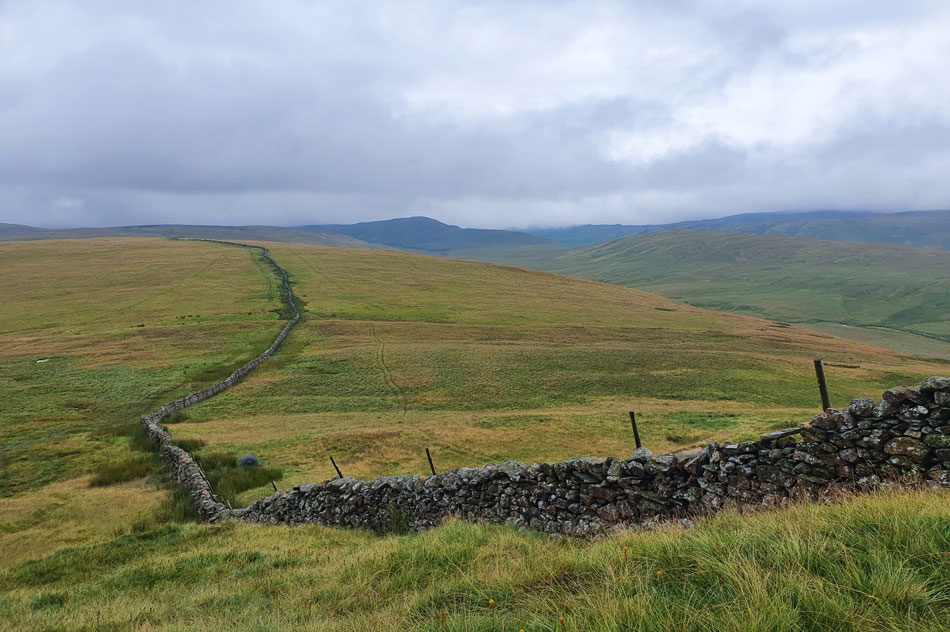
Continuing up the track we picked up the stone wall which would guide us all the way to Great Yarlside and beyond but before that we caught up on David and Rod's epic Langdale Pikes wild camp and my Cam Spout Crag walk which we did on what was possibly the hottest day of the year all of which felt a lifetime away as we passed the humming monsters on route to Whatshaw Common. |
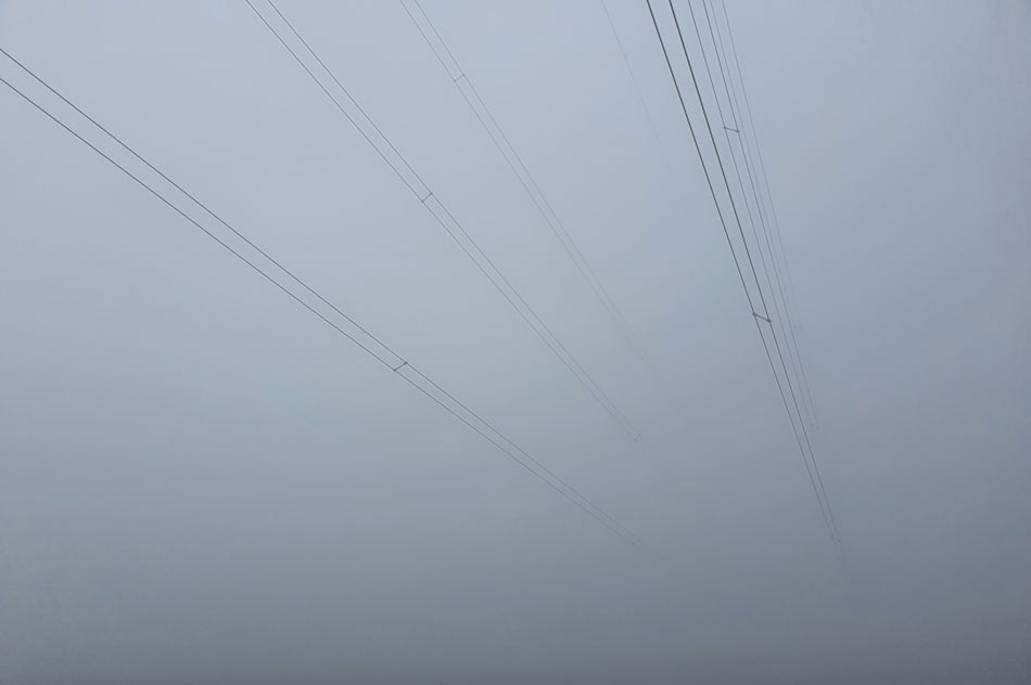 |
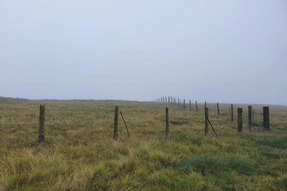
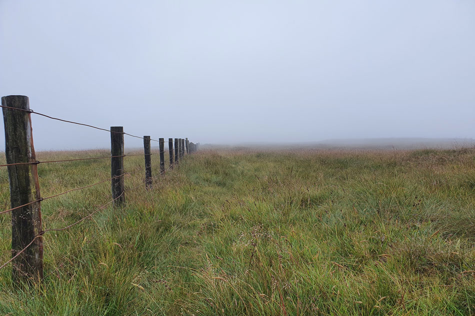
| Lines to nowhere. |
| |
 |
| Heading for Whatshaw Common. |
| It didn't take long for the sound of the traffic to fade into the distance only to be replaced by three blokes talking about the affects of sun stroke which seemed odd given this mornings conditions. |
 |
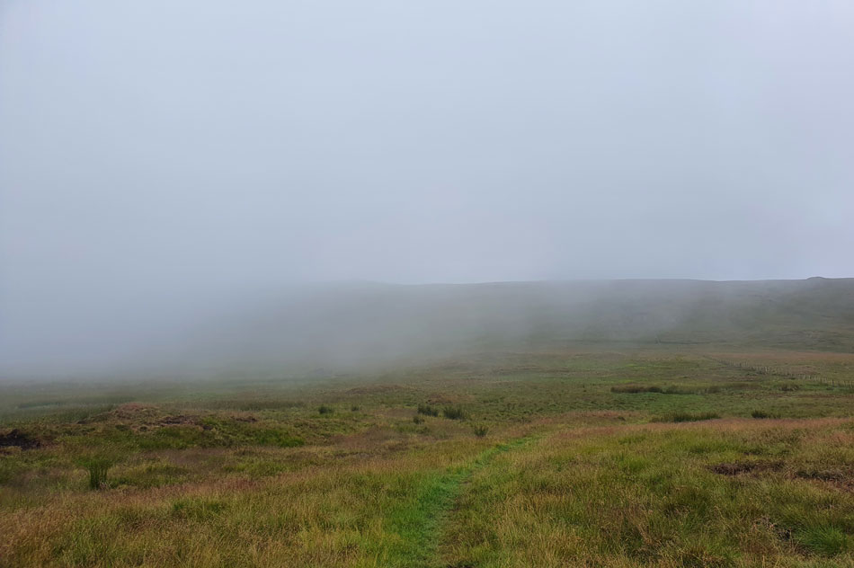
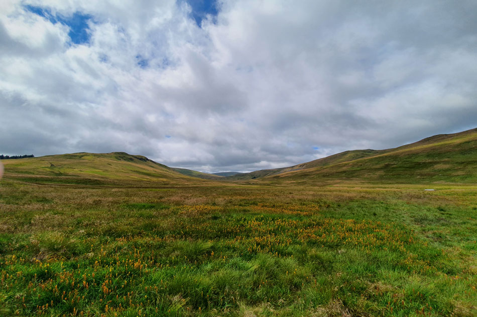
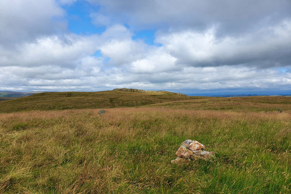
| Passing Whatshaw Common summit. |
| We could have made the effort to cross over the fence to make a summit of Whatshaw Common but decided against given how low the cloud was which would limit any views into the Crookdale valley below. |
 |
| Lords's Seat seen left and Little Yarlside seen right. |
We'd only just turned our backs on Whatshaw Common when we were forced to detour around a particular boggy area, each going our separate ways David wasn't too far behind me when my left leg sank almost up to the knee cap before screaming "get me out!" if it hadn't have been for a quick thinking David I reckon I'd still have been there now.
I was of course the butt of the next ten minutes jokes and at only a mile or so into 12.5 mile walk I had one very wet left sock and boot, however the good news was the cloud was beginning to lift. |
 |
| Little Yarlside. |
| As we pass over Wasdale Mouth over to our right. |
 |
| Looking down on Little Yarlside from the ascent of Great Yarlside. |
| With Robin Hood seen in the distance. |
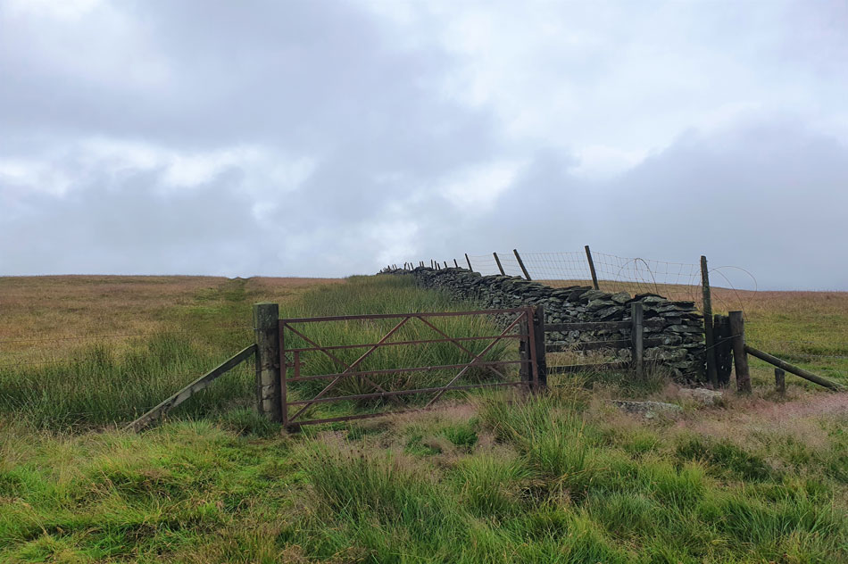 |
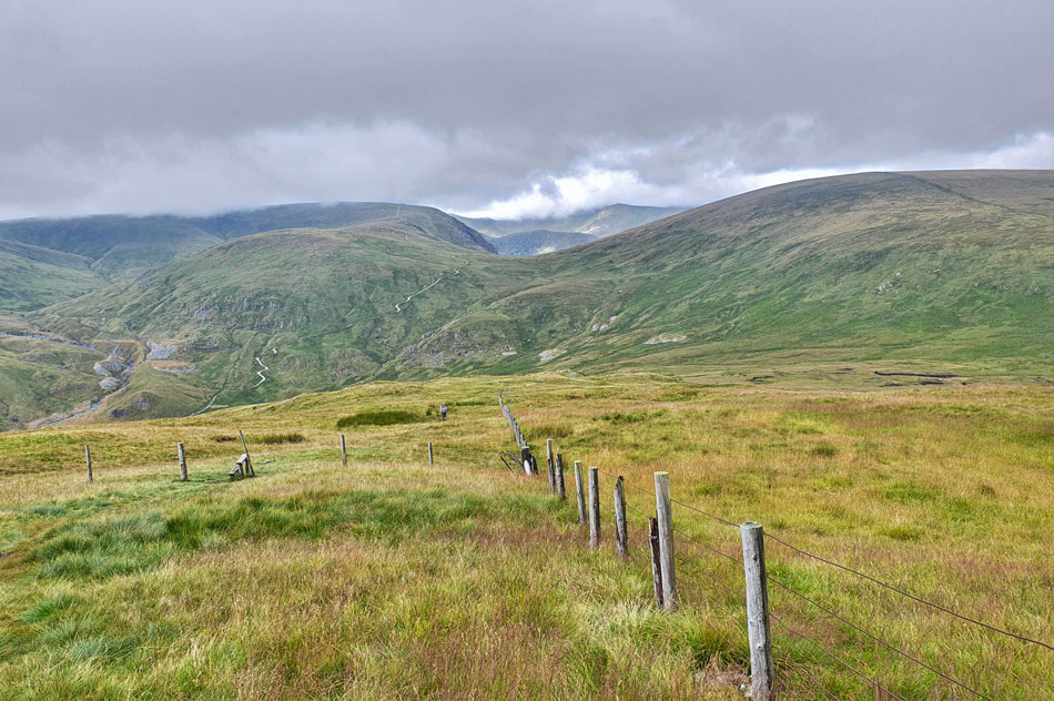
| Gate post, Great Yarlside. |
| We crossed over the summit or Great Yarlside sighting a herd of Deer in the direction of Wasdale Pike to the east. Arriving at the familiar gate I reminded the lads about the time I sat in the lee of the wall while sheltering from strong winds and a hail storm. The wall and indeed the gate are of the those places that feels special to me after the protection they gave me that day, funny how you hold on to stuff isn't it. |
 |
| Talking about memories... |
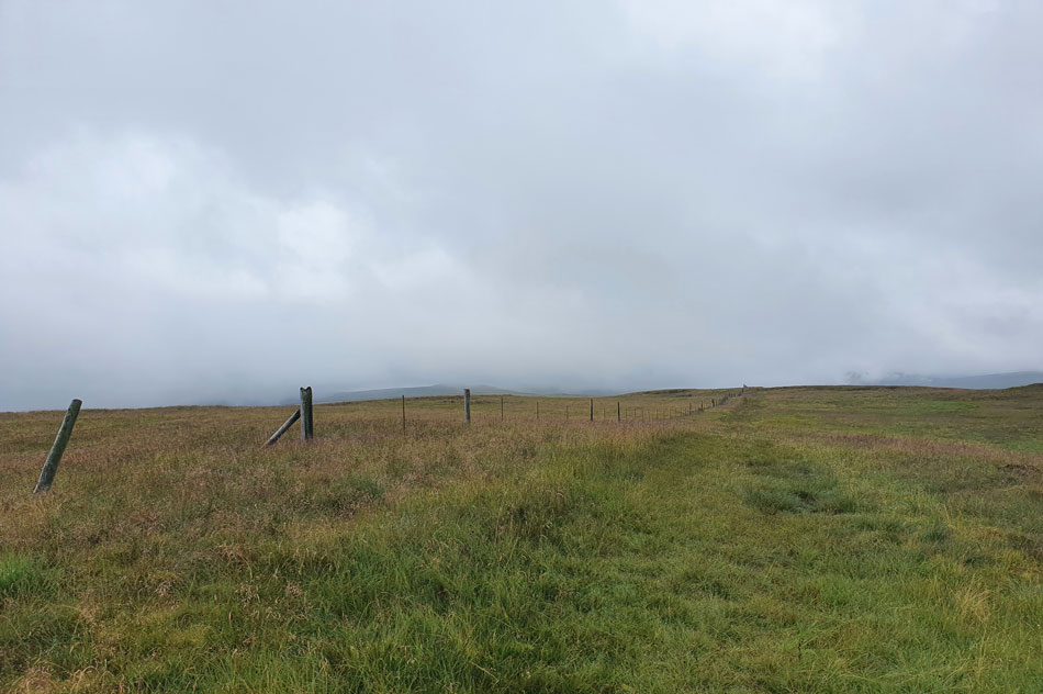
...you might think I'm 'puddlelt' as my Dad would say but here's another area of Lakeland that I have strong connections with which, after walking between Great Yarlside and Harrup Pike sometime ago I aptly named 'Lakelands greatest mile' yes it's bleak and offers hardly anything in the way of views but that doesn't stop my stomach churning each time I return here.
I truly feel I draw in the bleakness of the landscape which was what created that memory all those years ago. |
 |
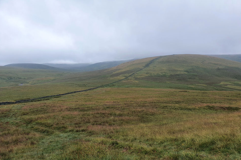
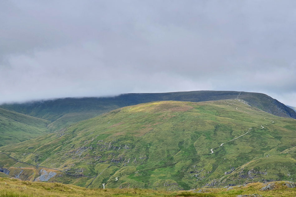
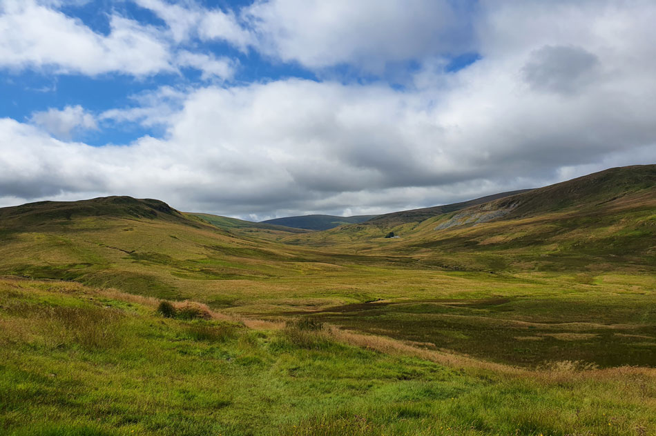
| Arriving at Harrup Pike summit. |
| Despite the cloud lifting up ahead Grey Crag above Sadgill was lost in cloud all agreeing that "rain felt imminent" as spots of rain were carried along the gentle breeze. Harrup Pike is a favourite summit off all three of us and we each soaked in the isolation and bleakness in our own way while David went off to reckie a good place to pitch a tent, he didn't have to wander far to find one. |
 |
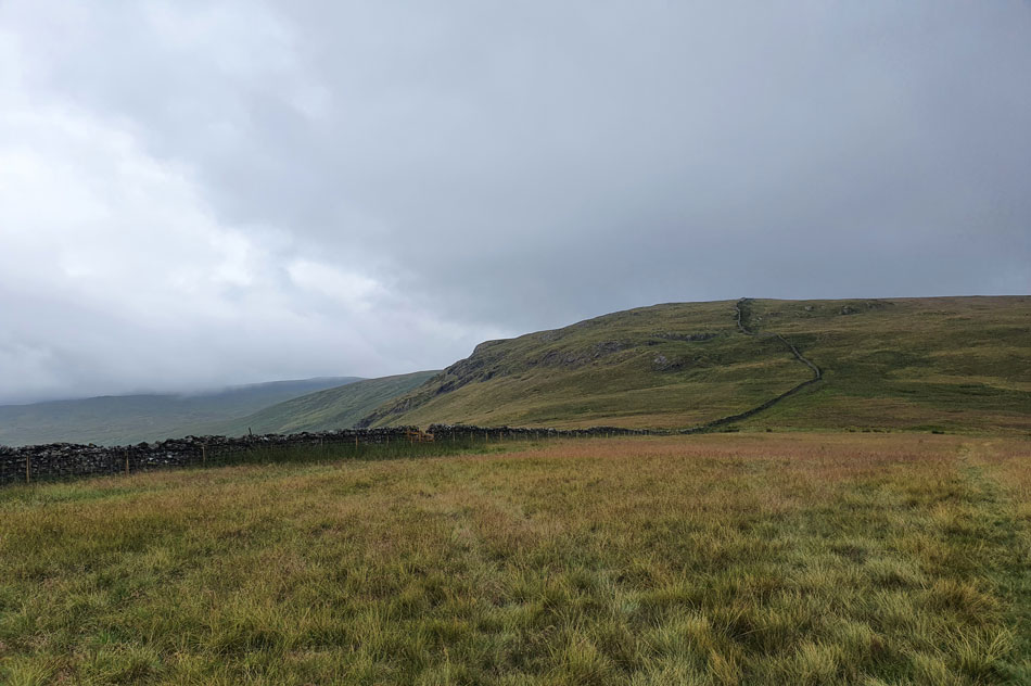
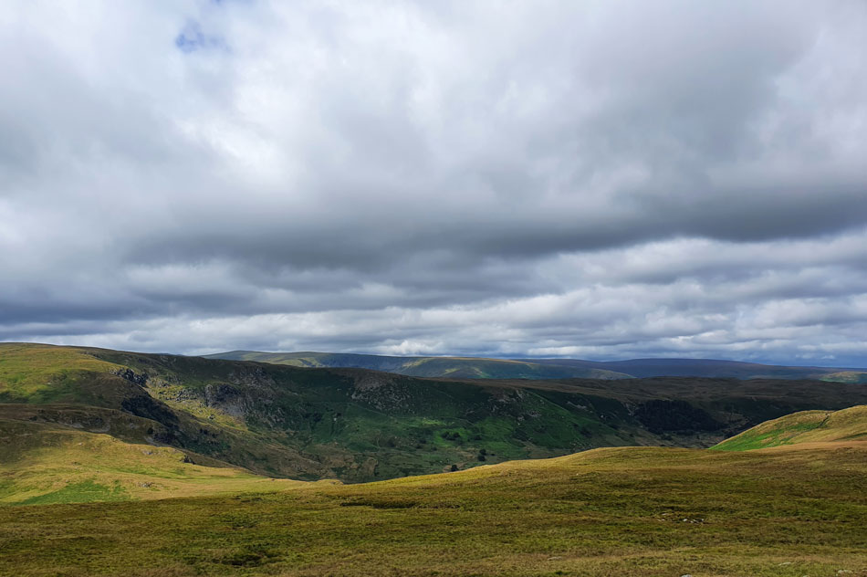
| Into the bleakness. |
| As we head for Grey Crag which was still below cloud. |
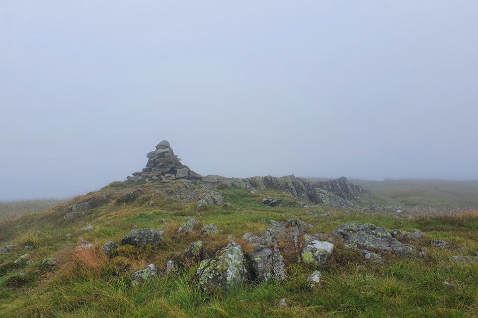 |
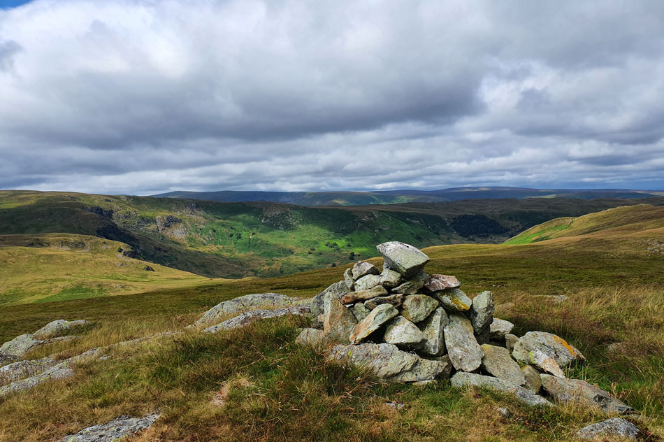
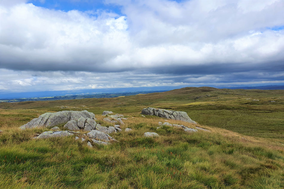
| Grey Crag summit. |
| Having left Harrup Pike behind we crossed the fence and again we were forced to detour around any boggy bits where thankfully I didn't have to call upon the help of David this time. With Grey Crag reached the breeze had picked and notably, the temperature had dropped too so after a quick chat we left the summit for Greycrag Tarn. |
 |
| Crossing Greycrag Tarn. |
| Instead of heading directly back to the fence which straddles Greycrag Tarn we took a short cut and met the fence about half way across the Tarn.
Although named Greycrag Tarn what little body of water there is lies beneath bog which isn't commonly seen. However, that isn't to say the area isn't wet because the area is notoriously boggy with the exception of the back end of the heat wave last week which we all agreed would have been a much less boggier crossing. |
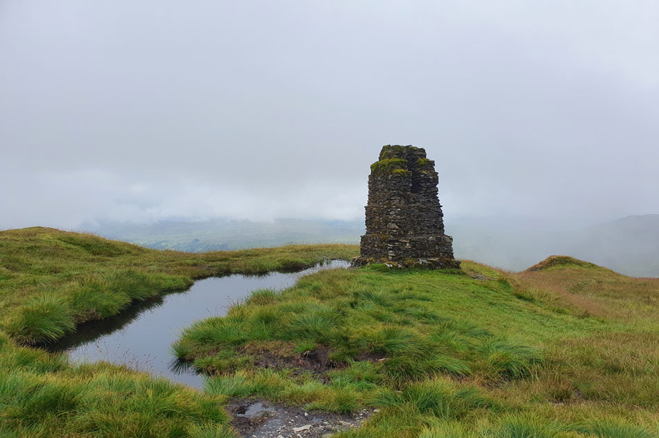 |
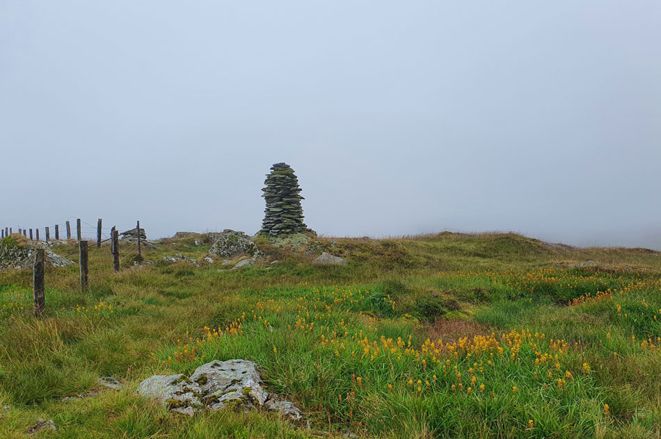
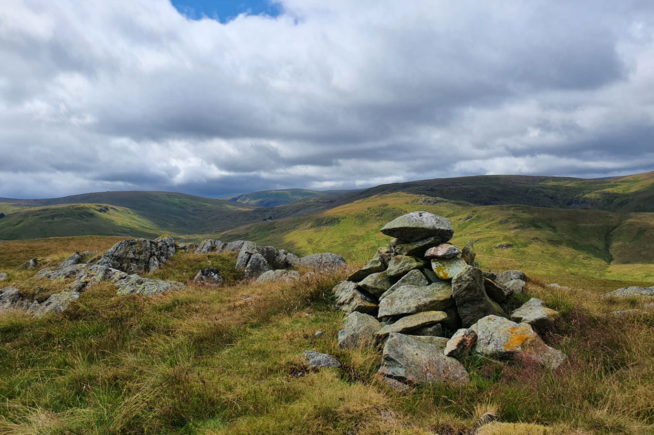
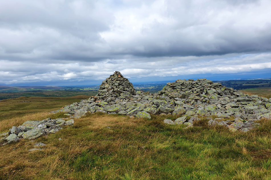
| Survey Pillar, Tarn Crag. |
| After crossing Greycrag Tarn we took in the steep yet short ascent on Tarn Crag where we were first passed by two fell walkers then two fell runners. A further two walkers left the summit during our approach as a family of four approached. Including ourselves we counted over a dozen folk had summited Tarn Crag from us reaching its shoulder to arriving at its summit within the space of about ten minutes, considering Tarn Crag is known as one of the less popular summits it certainly didn't feel that way this morning! |
 |
| Descending Tarn Crag. |
| With views of Adam Seat, Wrengill Quarry, Harter Fell (Mardale) Gatescarth Pass, Rough Crag (Mardale) and Kidsty Pike. |
 |
| Harter Fell (Mardale) dominates our descent. |
| Is that a hint of sunshine over Adam Seat summit? I think it is guys. |
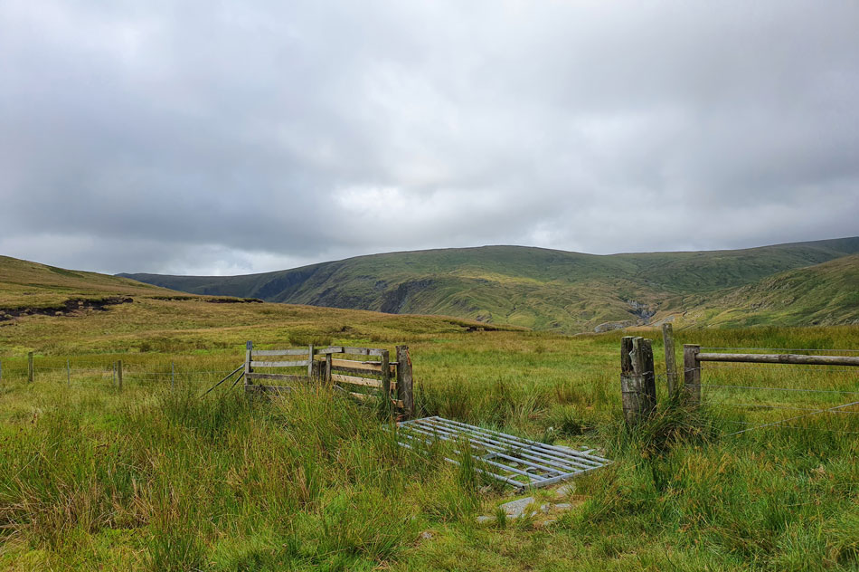 |
| Steel Rigg, Kentmere Pike and Wrengill Quarry from the familar gate above Mosedale/Brownhowe Bottom. |
| I seemed to have jarred my back during the descent of Tarn Crag which brought an old injury above my right rear hip. It all started on a campsite in Wales around 2007 when I jumped up to catch a cricket ball and has been with me ever since. With lunch just around the corner I'll hang on a while before I pop in some pain killers. |
 |
| Stunning views over the Mosedale valley towards Mosedale Cottage with Mosedale Quarry above. |
| While ahead two of our final three summits come into view with Scam Matthew and High Wether Howe. |
 |
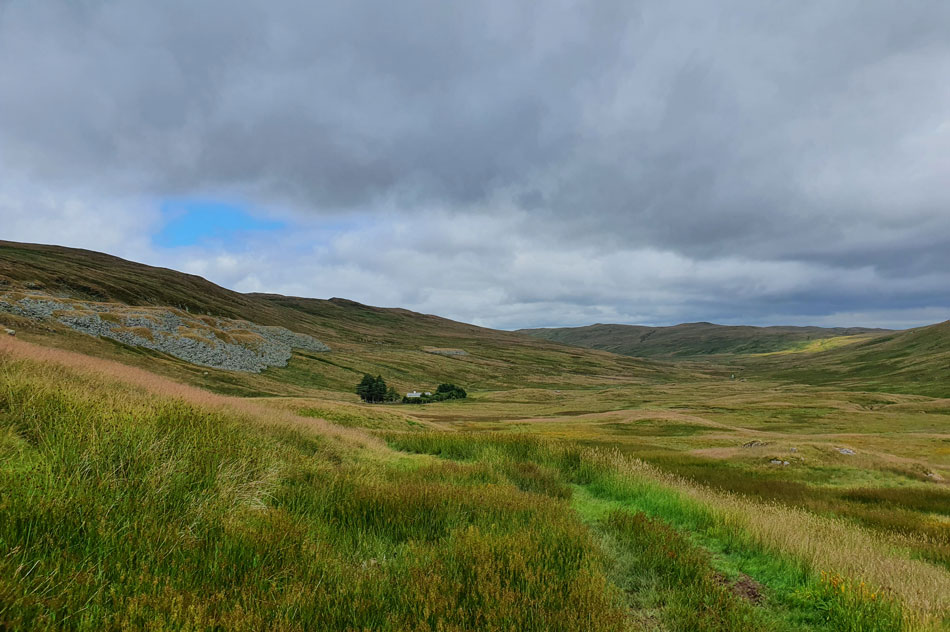
| Heading towards Mosedale Cottage. |
| During the descent of Tarn Crag we had seen a couple head into Mosedale who were now out of view, happen they've stopped at the cottage for a bite to eat just as we were planning. |
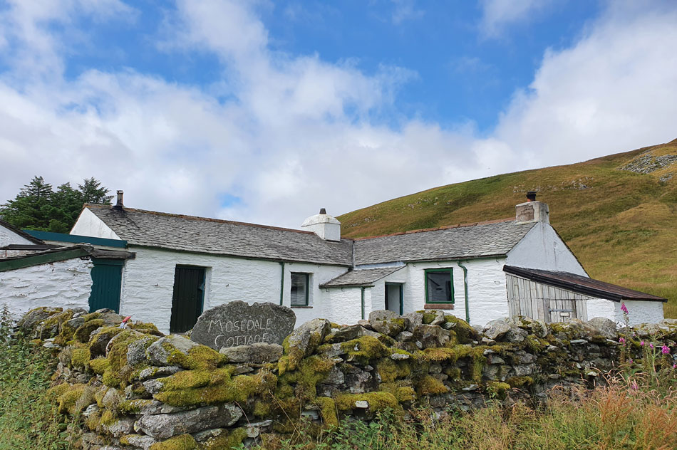 |
| Mosedale Cottage. |
| With hungry bellies we entered the cottage in single file Rod confirming the couples presence with a "Hi" the couple looked friendly enough but kind'a gave off the feeling we'd disturbed them so after a quick look around we left and set about finding somewhere to eat. |
 |
| Lunch with a view. |
| David spotted three aptly placed boulders at the side of the path which paired up as perfect dinning tables. While Rod and I tucked into lunch David removed his boots and soaking socks and rung them out before replacing them, his feet looked just as soaked as mine felt.
While tucking into lunch David then spotted a herd of Deer up on the ridge in the left of this photo by which time the sun had found its way between the cloud leaving us to finish off our lunch in warm midday sunshine. |
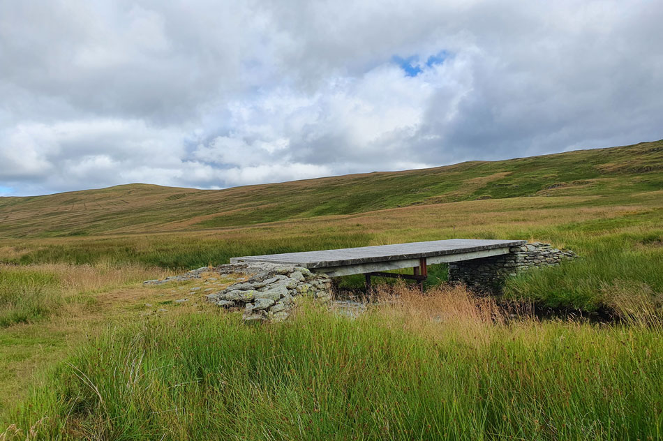 |
| Crossing the footbridge where Little Mosedale Beck flows into Mosedale Beck. |
| During Rod's last crossing he found would you believe a tape measure just lying on the bridge and decided to take it home with him as a souvenir. Rod didn't find a screwdriver today to complement the tape measure which David wickedly suggested would make a good gift for Rod's wife Lynn next birthday present but that's David dry sense of humour all over which after about five minutes we stopped laughing at. |
 |
| Stunning views back into Mosedale. |
| With Burnt Tongue seen (left) Harter Fell (centre) and High Howes seen (right) |
 |
| Mosedale seclusion. |
| |
 |
| Here we take in the view... |
| ...looking over Mosedale Beck towards Nabs Moor (left) the head of the Swindale valley (centre) and Fewling Stones (right) |
 |
| Heading towards Scam Matthew (right) and High Wether Howe (left) |
| Two summits with spectacular views. |
 |
| High Wether Howe from Scam Matthew summit. |
| The path rose steeply out of the valley where calfs and thigh muscles groaned after periods of either descent or level walking, we could do nothing but laugh it off. From Scam Matthew we descent pathless before picking up the path seen ahead. |
 |
| Glorious Swindale from High Wether Howe summit. |
| High Wether Howe was soon reached and what a treat we were in for with spectacular views over Swindale and Mosedale at a point we were struggling to compare it was the same day we had left Shap Road summit only hours earlier. |
 |
| Mosedale from High Wether Howe. |
| Simply stunning. |
 |
| Seat Robert from High Wether Howe. |
| With menacing skies forming above and behind we left High Wether Howe in single file but I noticed Rod held back a while taking in the view for one last time, you couldn't blame him. |
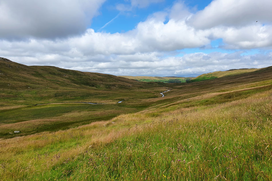
 |
| Views over the Swindale Valley. |
| The head of the valley forms Nabs Crag seen foreground before rising to Geordie Greathead Crag and finally Black Bells. |
 |
| On route to Seat Robert. |
| Most if not all the outlying fells above Wetsleddale, Mosedale and Swindale are linked together via grassy trods which provide a days great hiking to link and explore by. Here we use such a trod between High Wether Howe and our final summit of Seat Robert seen ahead. |
 |
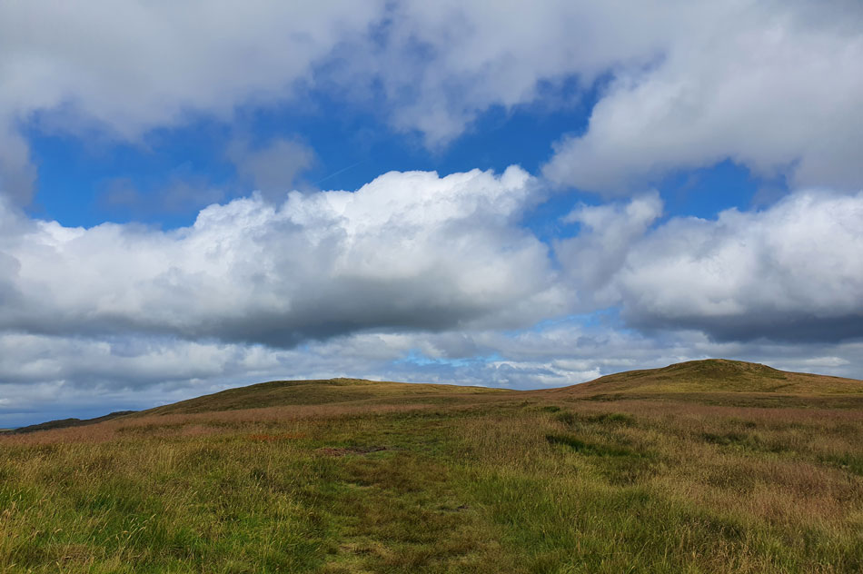
| Seat Robert summit. |
| Under a warm afternoon sun we soon reached Seat Robert summit by which time socks had been given the time to dry out as had our boots. Even though our walk wasn't completely over we all agreed on how much we had enjoyed the route for which we had to thank David for and the forecast which turned out much better than expected, well, that was a pat on the back for mother nature. |
 |
| Under brooding skies. |
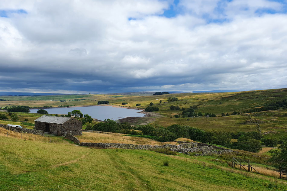
| We descended back to Wetsleddale Reservoir. |
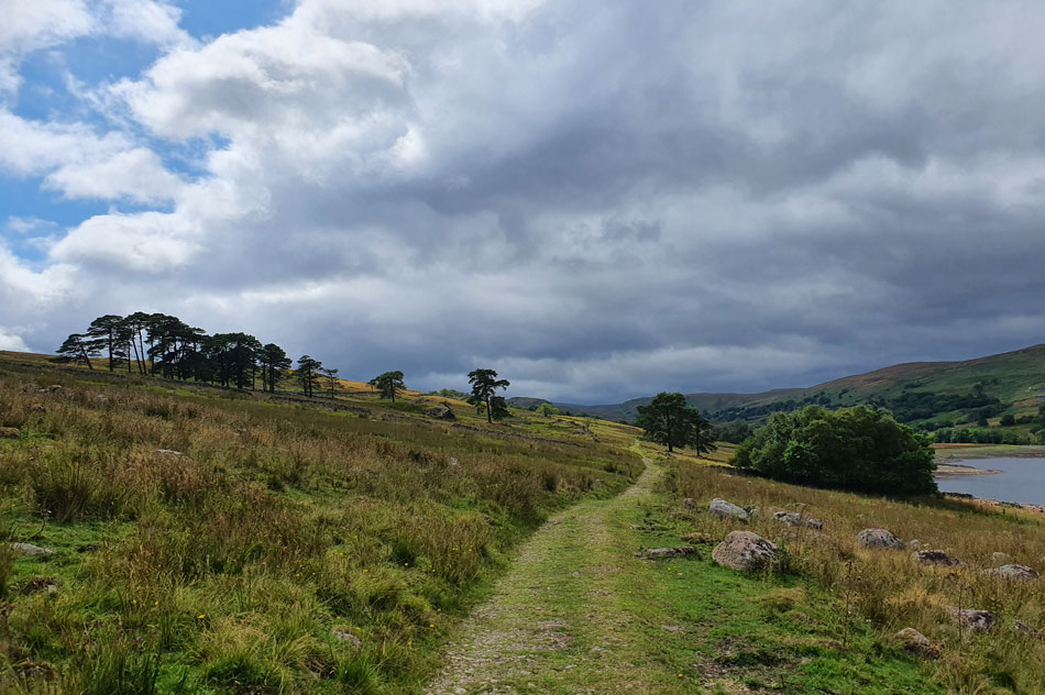 |
| It looks like the heavens are about to open. |
| Having left Seat Robert the plan was to follow the wall until the sty was reached from where we would pick up the zigzaged path back into Wetsleddale via Wetsleddale Hall but after finding a gap in the wall we broke a pathless descent passing through gentle knee high grass until we joined the top of the zigzags. It was still warm but behind us views were disappearing into clouds heavy with rain, it wasn't a case of if but when they would unleash their downpour onto its victims below.
The forecasters had hit the nail on the head with todays forecast, rain indeed was pushing from west to east allowing us to enjoy these pleasant hills without taking a soaking, well, at least two of us did David and Rod chuckled. |
|
| |
| Back to top |
 |
|