Grisedale Pike via Coledale

29th August 2021

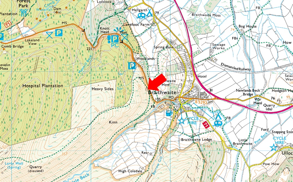
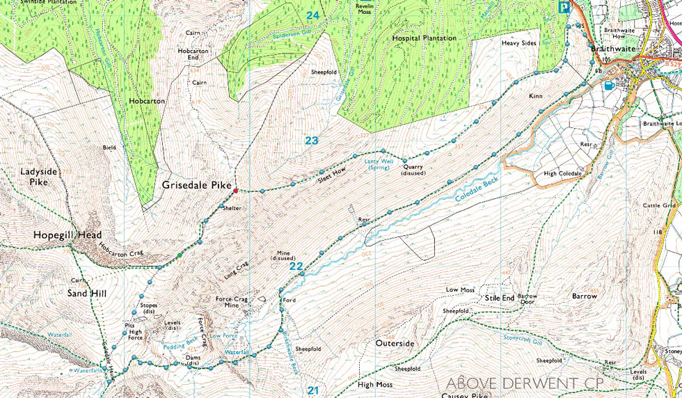
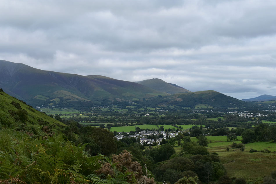
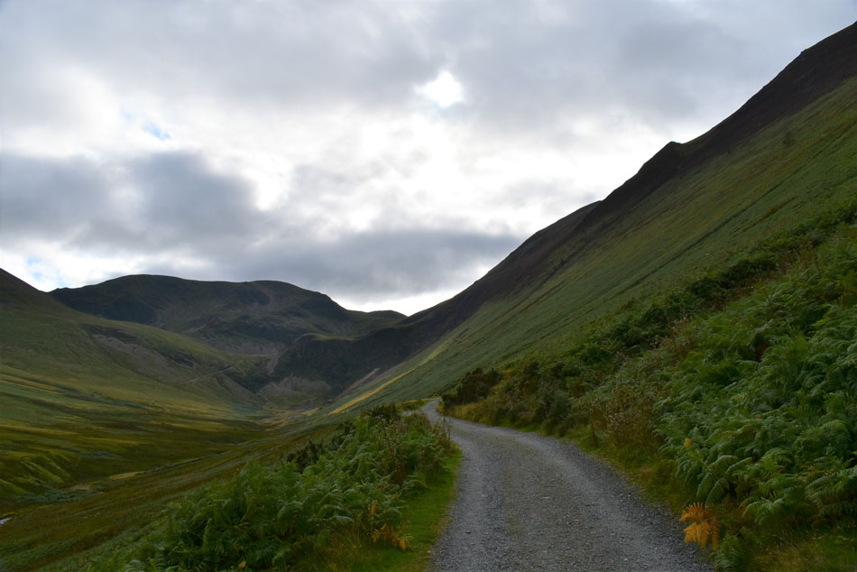
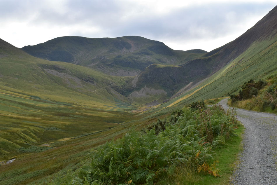
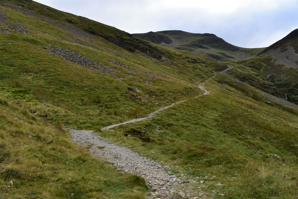
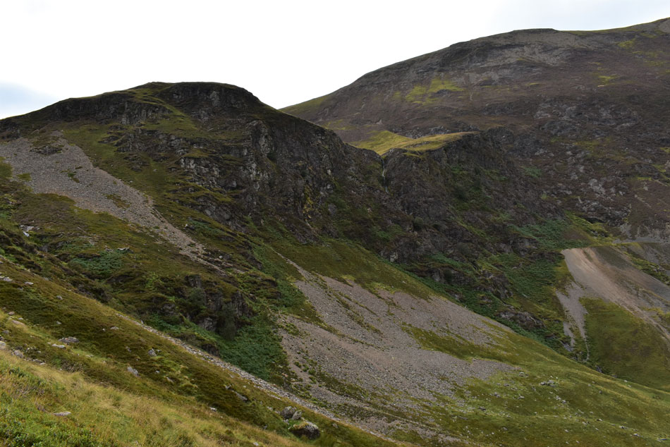
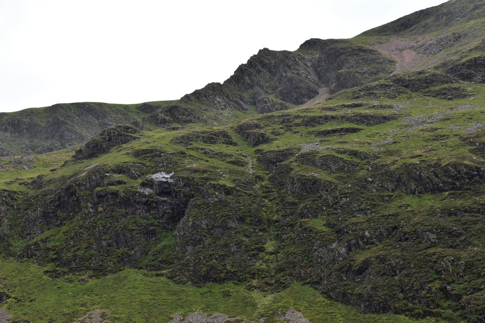
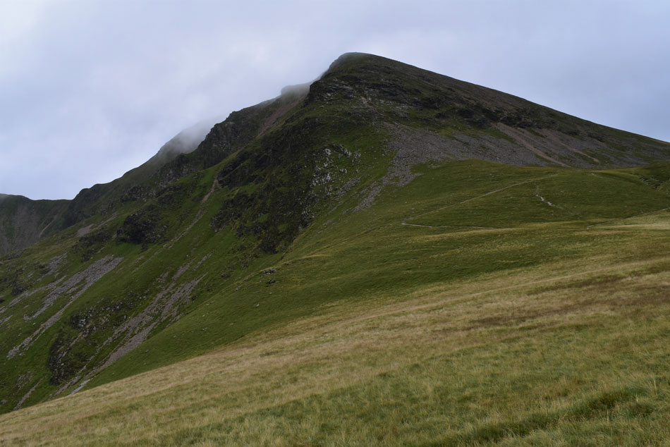
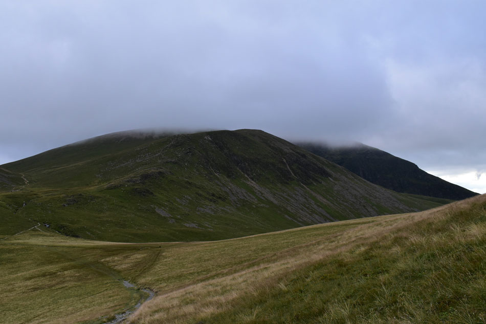
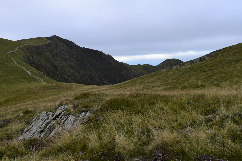
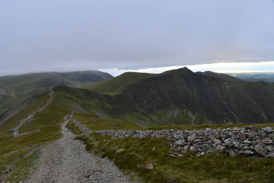
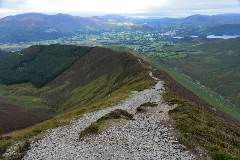
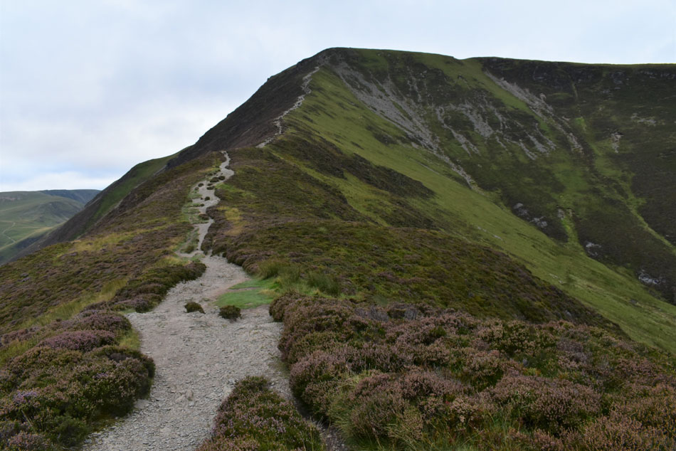
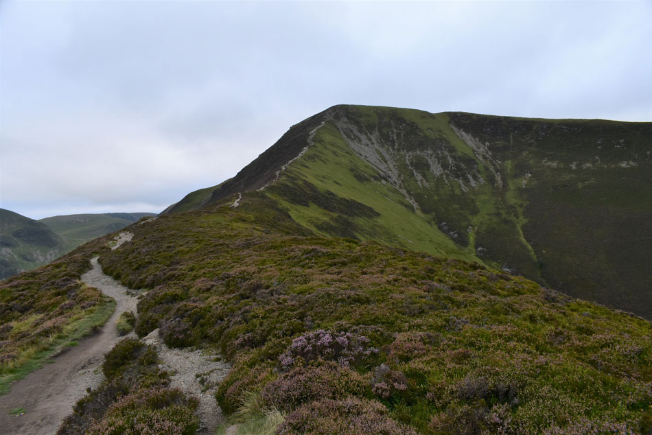
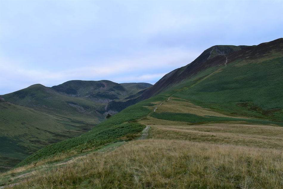
Due to family commitments I missed out on what turned out to be the best day weather wise of the Bank Holiday but it was no biggie. The forecast for this evening looked bright so I planned to take in Grisedale Pike and Hopegill Head from the car park just above Braithwaite but had a sudden change of plan where instead of heading straight up Grisedale Pike I'd walk through the Coledale Valley and enjoy what should have been a nice sunset during the descent of Grisedale Pike.

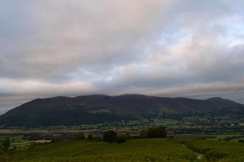
I've been walking the Lakeland fells long enough to never rely on a forecast which got flipped on its head five minutes before I was due to leave home. Feeling slightly deflated there was nothing I could do about it except enjoy the positives of which there were many. Walking in the late evening light always fills my soul with delight, so does walking against the traffic when most were heading back to their cars I was heading for the hill.

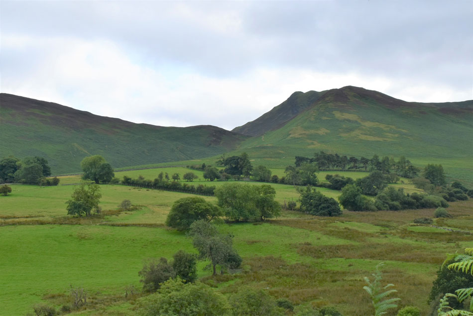
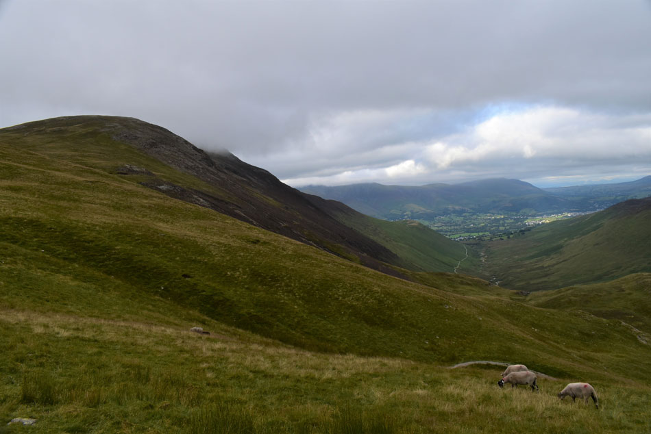
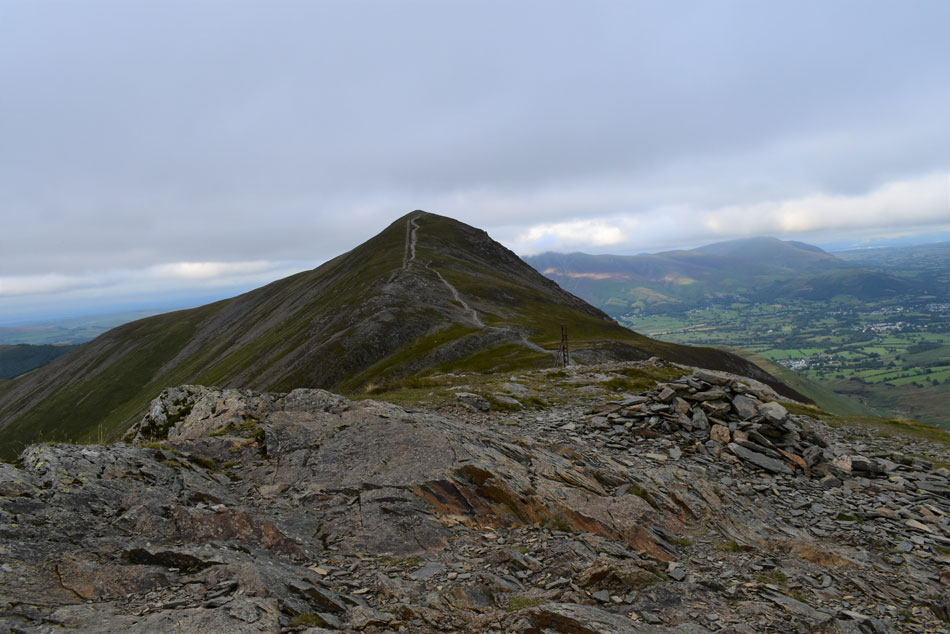
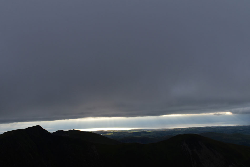
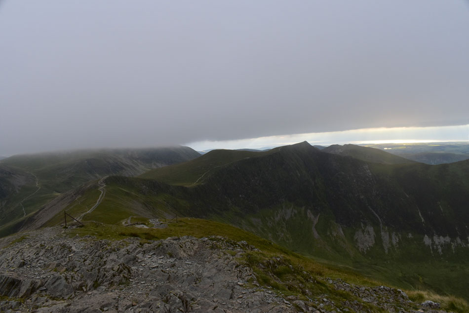
There's something special about being the only one around but tonight I wasn't the only one enjoying the last of the light spotting one walker silhouetted while stood on Sand Hill from my perch on Grisedale Pike summit, then there was the shimmering light over the Irish sea set between dark cloud and the silhouette of Hopegill Head which just goes to prove you don't have to have the best forecast to enjoy the last hours of the day on the hill.

 
Wainwright Guide Book Two
The North Western Fells

Grisedale Pike

It is seldom a prime objective being a little out of the way but the graceful peak piercing the western sky is a nagger of conscience and cannot be ignored. Nor should it be.


Overview
Ascent: 2,403 Feet - 733 Meters
Wainwrights: 2, Grisedale Pike - Hopegill Head
Visiting: Hobcarton Crag
Weather: Predominantly Overcast, Feeling Mild In The Valley Much Cooler At Height With Light Winds. Highs of 17°C Lows of 15°C
Parking: Car Park, Whinlatter Pass, Braithwaite
Area: North Western
Miles: 6.5
Walking With: On My Own
Ordnance Survey: OL4
Time Taken: 3 Hours 20 Minutes
Route: Whinlatter Pass - Coledale - Force Crag Mine - Coledale Hause - Hobcarton Head - Grisedale Pike - Sleet How - Kin - Whinlatter Pass
 

Parking Details and Map
Nearest Post Code: CA12 5TL
Grid Reference: NY 227 223
Notes: Follow the B5292 through Braithwaite Village before joining the bottom of the Whinlatter Pass, here the road steepens after a tight right hand bend, look out for a Parking sign partially hidden by trees on the left hand side and turn left onto the car park. This car park just above Braithwaite is quite small and is very popular especially during the Summer months. The car park provides instant access to Grisedale Pike via Kinn and Force Crag mine. Parking is free.


Map and Photo Gallery


Views towards Barrow Door, Stile End and Causey Pike from Coledale 16:30pm 17°C

Approaching late afternoon on a bank holiday in Braithwaite was as busy as to be expected, with cars lining Whinlatter Pass above the village with just the odd space I could return to should the car park be full. Luckily a car was leaving which left me thinking 'they've either turned around because it was full or better, they've just left an empty space' Turning left onto the car park not only was there a spare space there was two or three, lucky or what. Even as I was kitting up more people were returning to their cars leaving more spaces to park.

It was time to make the decision do I walk through Coledale first or head straight up Grisedale Pike, given the present conditions I opt to head through the valley first and kept my fingers crossed the forecast would improve. I passed more walkers heading back before the track veers right into the valley as the view starts to open up revealing Barrow, Stile End and Causey Pike. From across the valley I spot two walkers on Barrow's summit and one more descending Stile End. It felt later than it was due to the thick cloud cover but that didn't stop me working up a sweat wearing just shorts and a thin short sleeved base layer for now.


The view back over Braithwaite.
Looking towards Skiddaw, Lonscale Fell, Latrigg, Blease Fell and a cloud topped Blencathra.

Eel Crag (Crag Hill) and Force Crag from the mine track.
Walkers continue to pass me as I head towards Force Crag mine. I'm heading for the track seen left which ascends steadily towards Coledale Hause.

Force Crag, Eel Crag (Crag Hill) and a glimpse of Grasmoor.
Soon I'll cross Coledale Beck via a group of neatly placed stepping stones.

After crossing Coledale Beck.
I take in the view towards Force Crag Mine.

Now the hard work begins.
I've descended this path lots of times each time being reminded how rough it can be underfoot but in ascent and with fresh legs I actually enjoyed the ascent today.

Looking North towards Force Crag.
During all the times I've walked these hills I've never been up onto Force Crag itself.

Continuing the ascent.
I took in the view towards Tower Ridge on Eel Crag which I aim to climb sometime soon.

The view back into Coledale.

Prior to reaching Coledale Hause I was passed by a Polish chap and his daughter who was aged about 6 or 7 He explained they'd been walking since 10am this morning and were checking if they were on the right path to reach Newlands Campsite which I explained they were and they just had to walk to the end of the valley to reach it.

I kinda got the impression he didn't believe me because he kept asking the same question over and over as if I was sending him on a wild goose chase or something but after some convincing he and his daughter thanked me and made their way down. With Coledale Hause reached I noticed a drop in temperature so I stabbed both my walking poles into the ground,, de shouldered my pack and added my jacket.


A thin layer of cloud over Eel Crag (Crag Hill) summit.

I could already see that both Blencathra and Skiddaw had succumbed to cloud and so too had the summit of Grisedale Pike and now Eel Crag and Grasmoor. So much for a sunset walk I thought. I decided to cut my losses as more and more cloud arrived which topped my surrounding summits.

Time wasn't exactly against me as I still had an hour and a half until sunset but given that conditions weren't going my way I turned heel and started the ascent on Hobcarton Head direct from Coledale Hause.


Looking back on Grasmoor.
Seen beyond Coledale Hause.

Hopegill Head and Ladyside Pike appears.
Would you adam and eve it the cloud has vanished by which time I'd already committed to Grisedale Pike, flipping eck!

Grisedale Pike from Hobcarton Head.
Well at least I had the place to myself...

Looking back beyond Hobcarton Crag towards Hopegill Head.
I'd spotted the lonely silhouette of a solo walker standing on Sand Hill (seen centre) and wandered of his/her route when I turned around to find a shirtless chap walking towards me wearing nothing but a pair of shorts and trainers who seemed happy in himself as we passed with a 'hi' but flipping eck I was almost ready to add a pair of gloves and my beanie such the sudden drop in temperature.

Sun sparkling over the Irish Sea.
This image doesn't really reflect how special those few moments were as I watched the sun break through the cloud setting the Irish sea alight in a golden afterglow. Despite the incorrect forecast this view alone made the evening for me.

Grasmoor, Hobcarton Head, Sand Hill, Hopegill Head and the Whiteside Ridge from Grisedale Pike summit.
After picking my way up onto Grisedale Pike I turned around to see where the shirtless chap had gone, one part of me wishing he'd seen sense and was making his way down into the Coledale valley but I spotted him having just left Hopegill Head walking towards Sand Hill. I just couldn't get my head around it.

Descending Sleet How with views of Kin, Skiddaw, Blencathra, Keswick and Derwent Water.

Only one week ago I'd cracked my back while playing with Brad my West Highland Terrior which forced me to take the following day off work and despite my best efforts with pain killers I was also prescribed three days supply of Diazepam via on phone call with my doctor.

The Diazepam made me feel drowsy so I persevered with back stretching exercises, paracetamol and ibuprofen and three days later despite a dull ache across my lower back I took to my mountain bike for a ride out after work, amazingly I felt no pain and the following days I seemed to be on the mend but my confidence seemed to dip as I took on the descent of Sleet How with its loose rock and steep rock steps but I needn't have worried making it down in one piece although walking the likes of the Ennerdale Horseshoe will probably be off the cards for a while.


Looking back on Sleet How.
It's around 7pm now and I share this image to my Facebook profile.


And from Kin.
I look back on Force Crag, Sail, Eel Crag, Grasmoor and Grisedale Pike.

Skiddaw and Blencathra.

In the fading light I continued my descent where the sound of traffic travelling along the A66 brought me back into reality. Braithwaite appeared below the ridge where porch lights were being turned on and cars with red glowing taillights joined the A66 below. Skiddaw had been in view for the best part of the evening but not once did I see its summit, I guess I got lucky having escaped the worst of the cloud. The descent was steep and tree roots became obstacles in the fading light as the path passes above Whinlatter Pass.

Through the trees I spotted my car as I descended the steep steps and sheltered from the wind I felt the mildness of the evening. With my car reached I downed pack watched on by two blokes in a trendy Isuzu pick up who minutes later, left. I untied my shoelaces which left a little plume of dust into the air before adding my North Face lows ready for the drive home. It had only taken me minutes to kit down but the light had faded even more and as I switched the engine on the auto headlights lit up the trees in front of my car. Sounds stupid I know but right at the moment my stomach performed a little cartwheel before putting the car into reverse and headed for home.


Back to top