Blencathra via Hall's Fell Ridge

5th September 2021

After working yesterday morning I followed the best forecast for Sunday finding the northern region of the district would see the best of the sunshine after really looking forward to an ascent of Fairfield via Little Tongue, a route that can wait in the wings for the forecast it deserves.

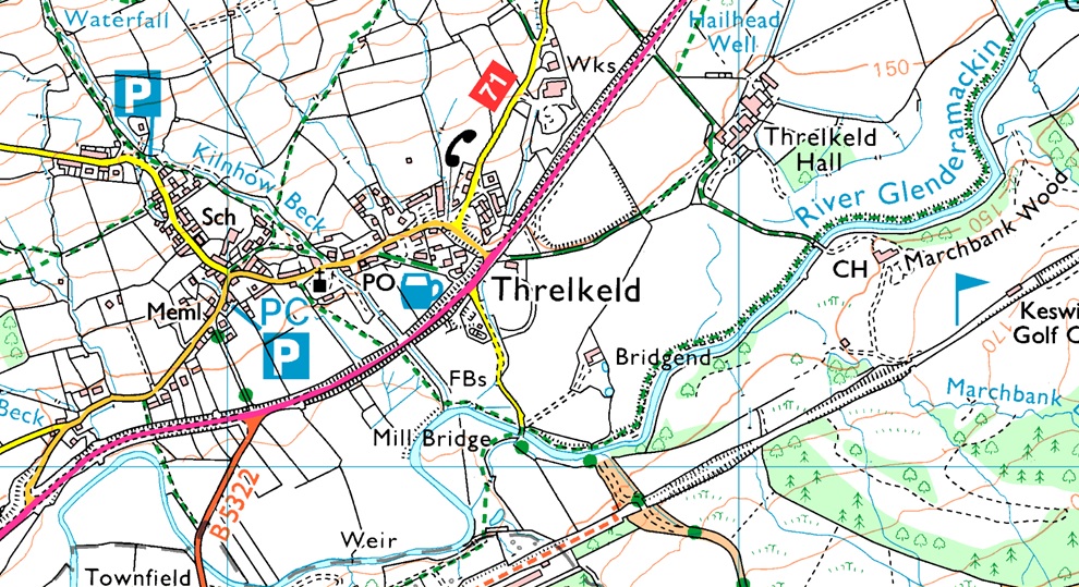
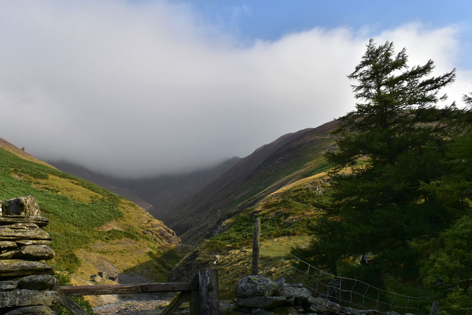
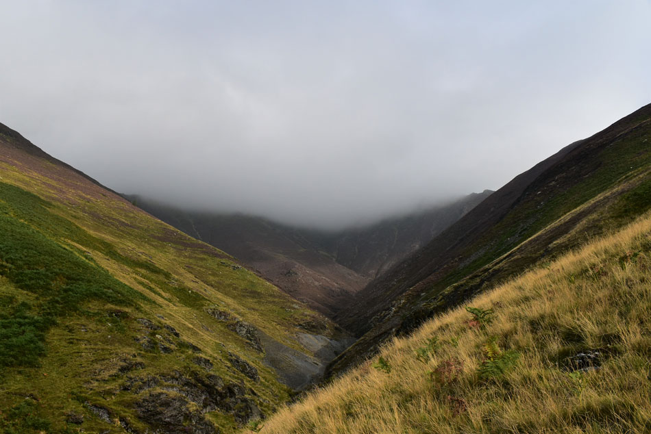
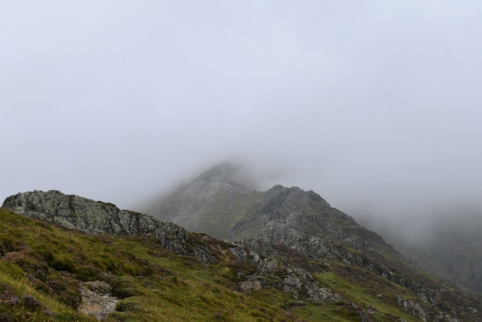
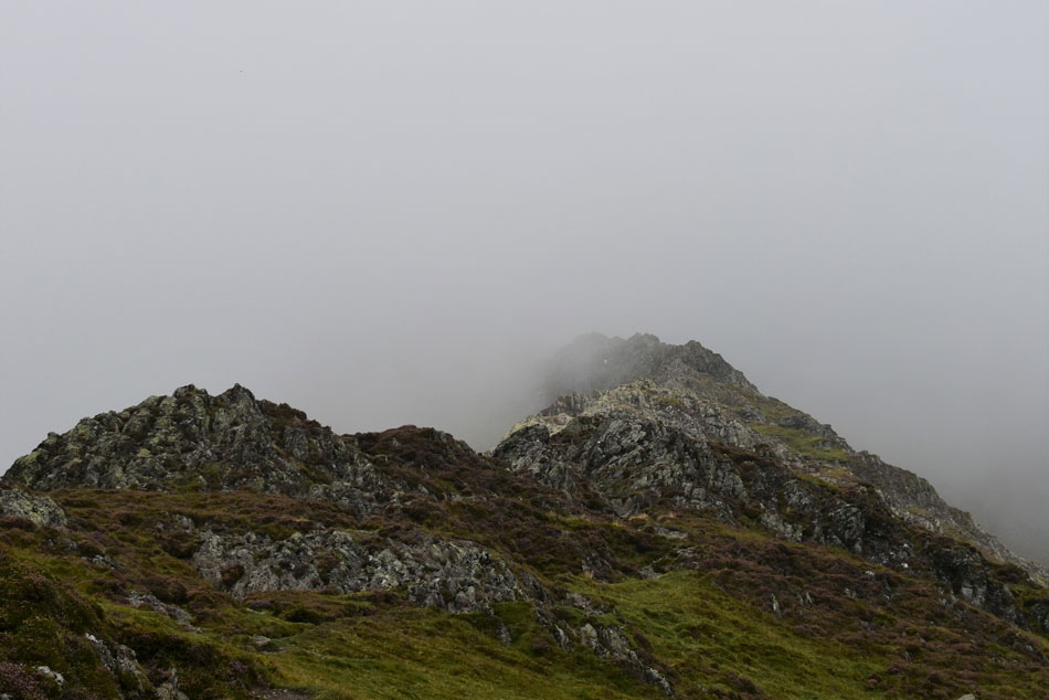
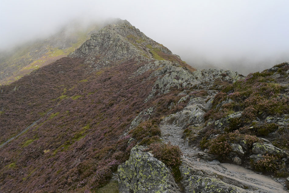
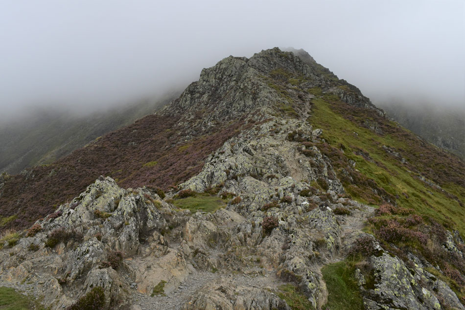
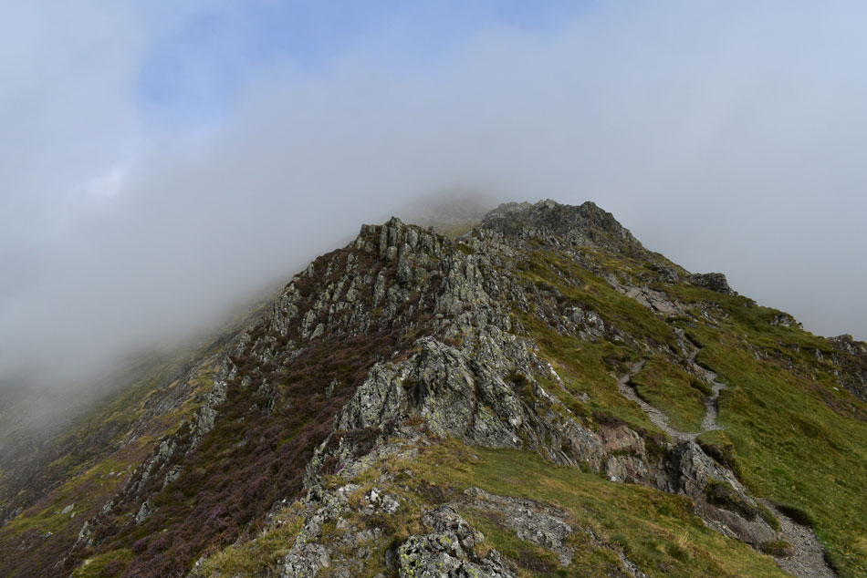
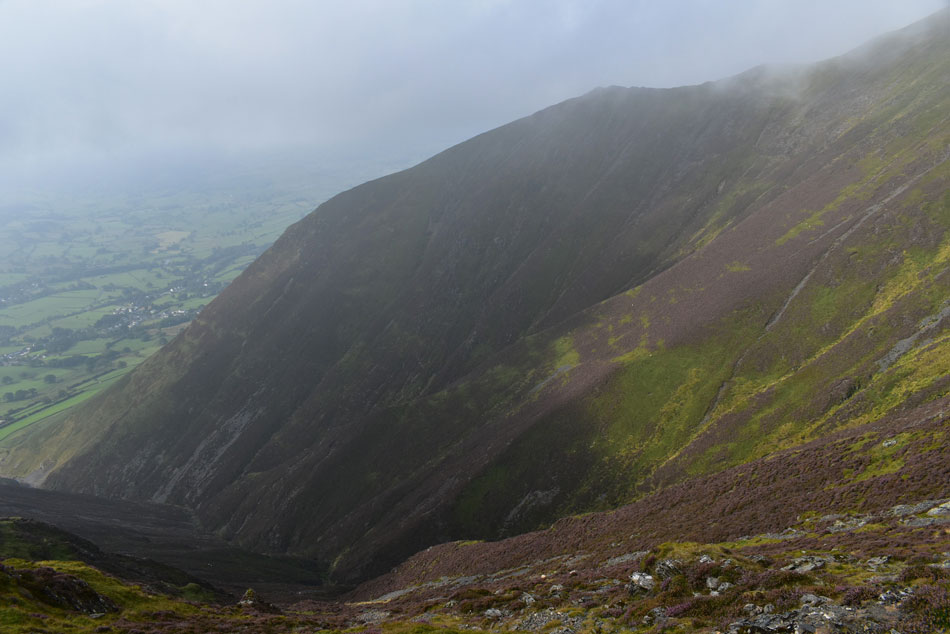
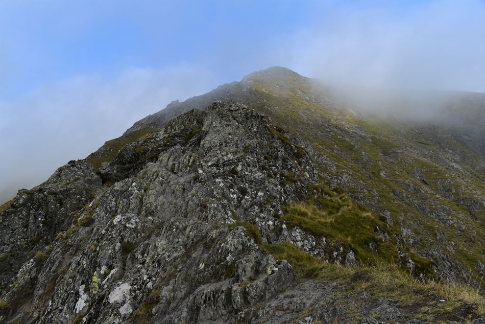
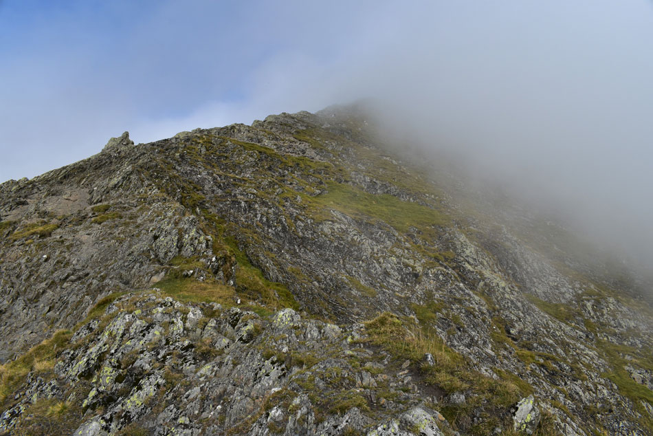
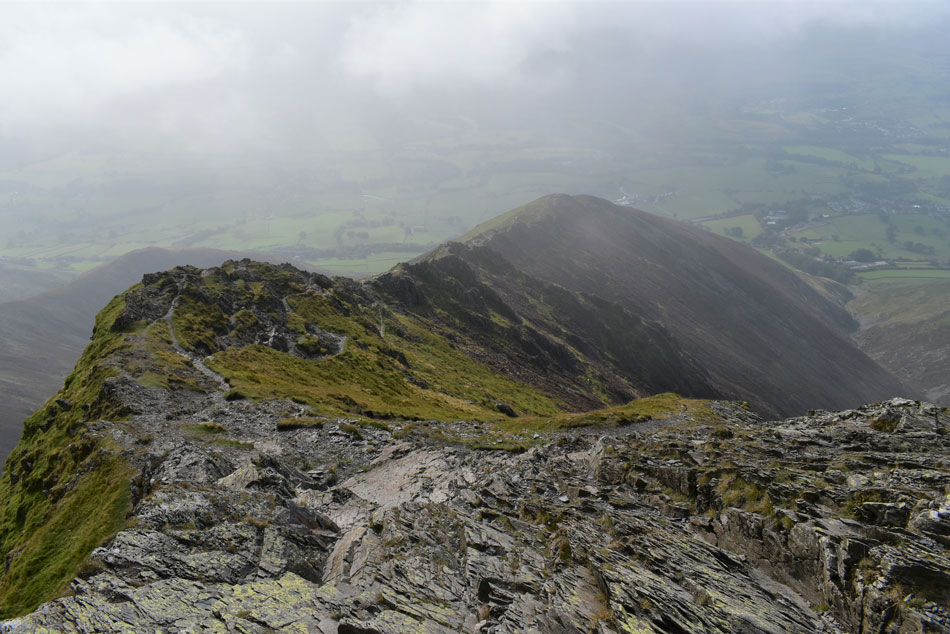
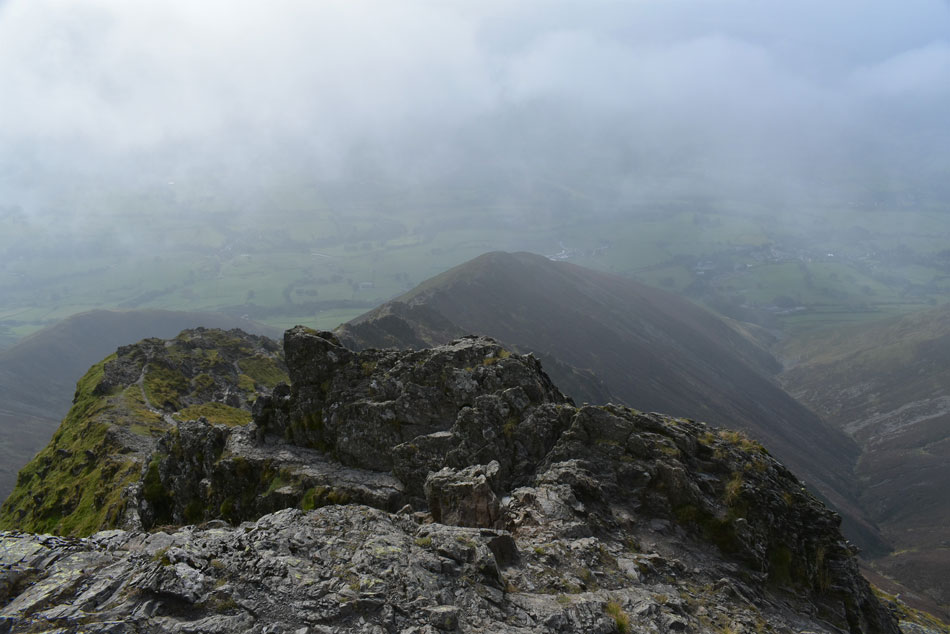
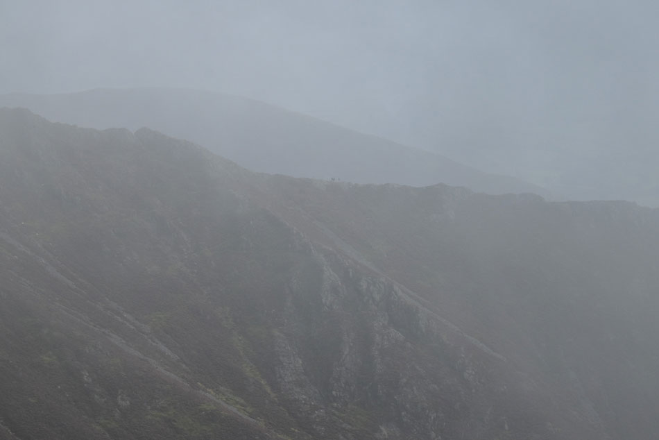
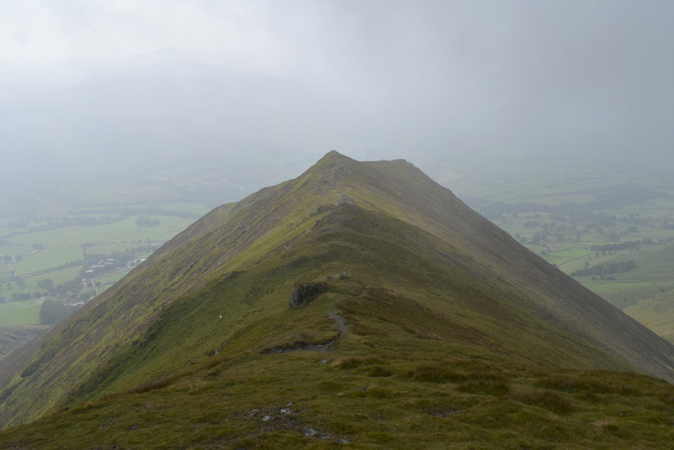
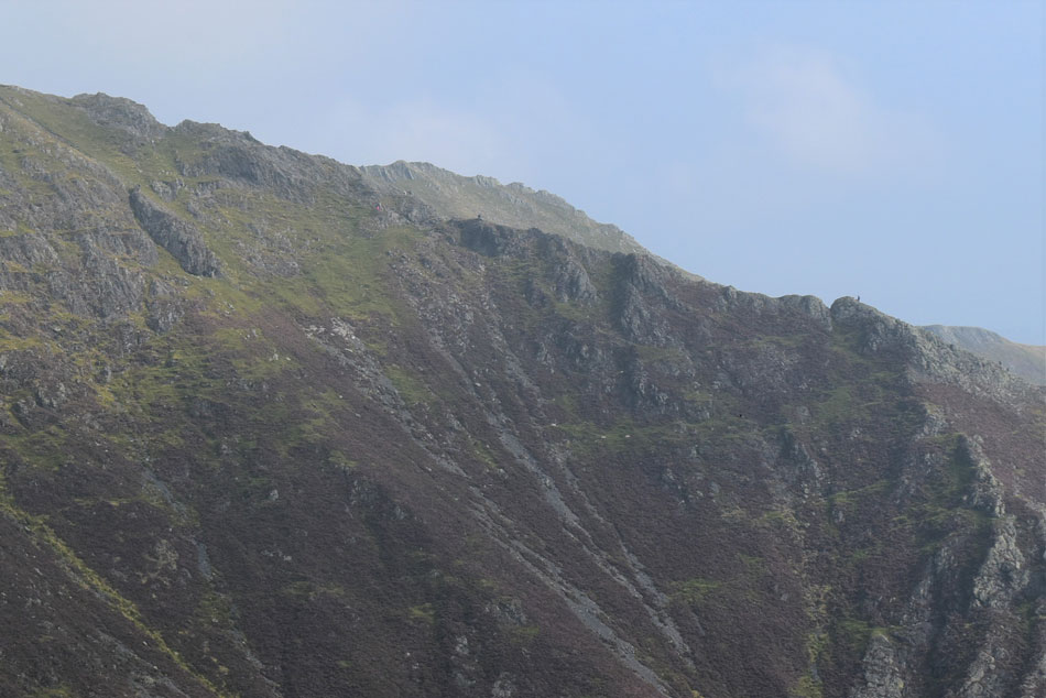
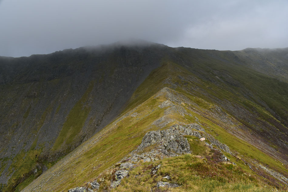
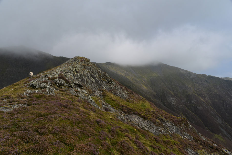
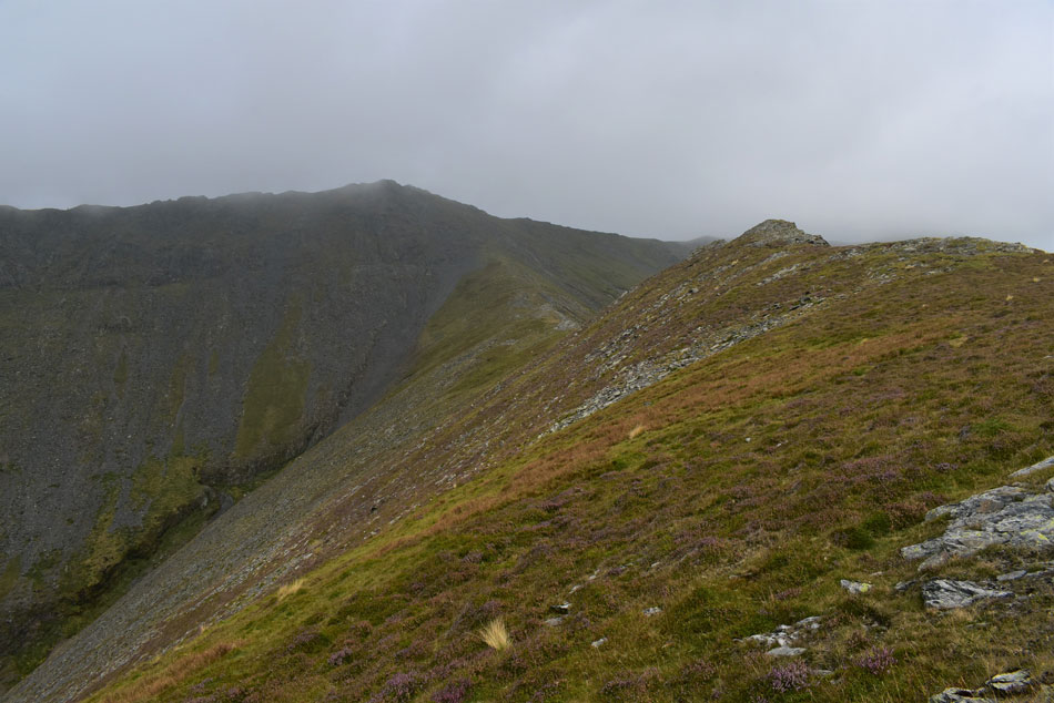
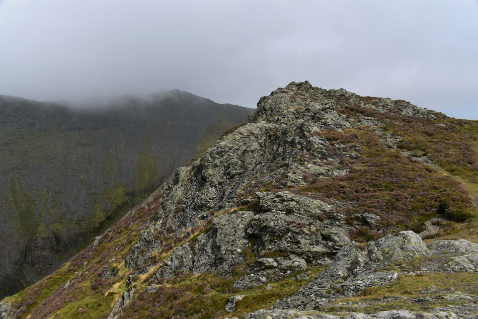
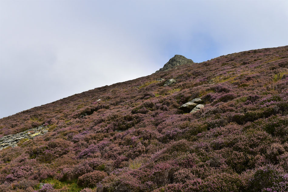
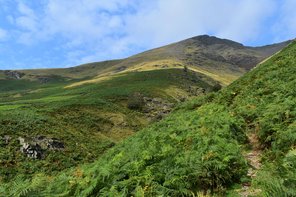
Following the Lakeland forecast even in Summer has its highs and lows and today I was dealt with something in between. The plan was to ascend Blencathra via one of Lakelands best ridge routes, the Hall's Fell ridge then descend from the summit via a route I have never walked before, the Gategill Fell ridge and Knott Halloo, the steepest of Blencathra's ridges by far.

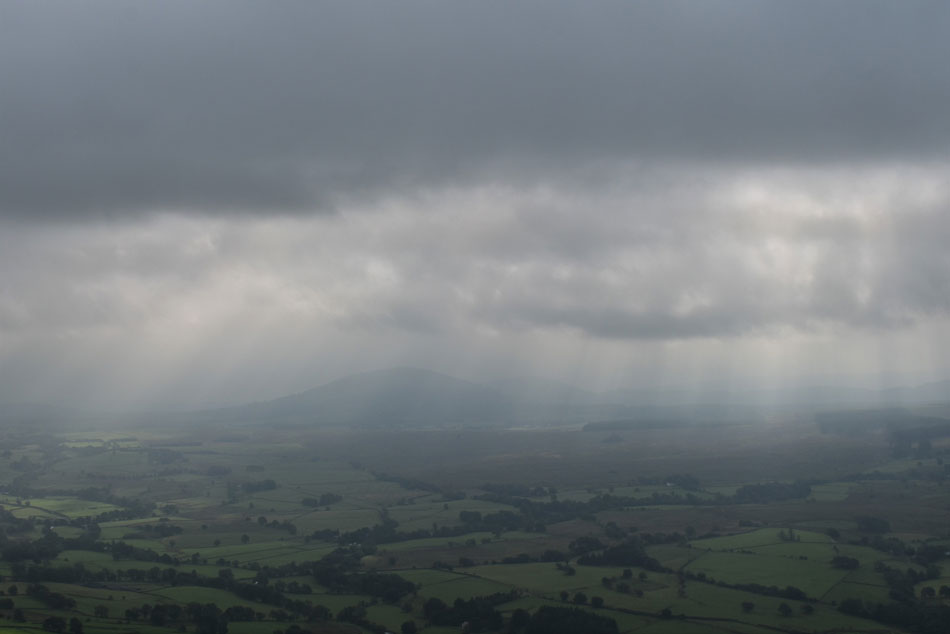
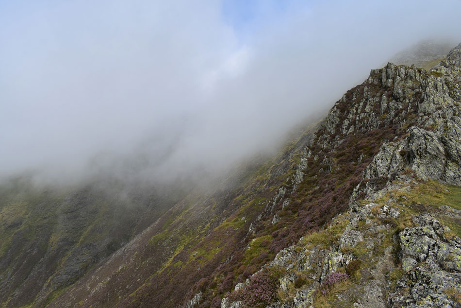
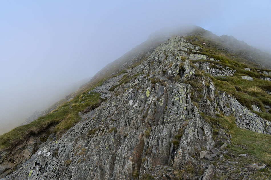
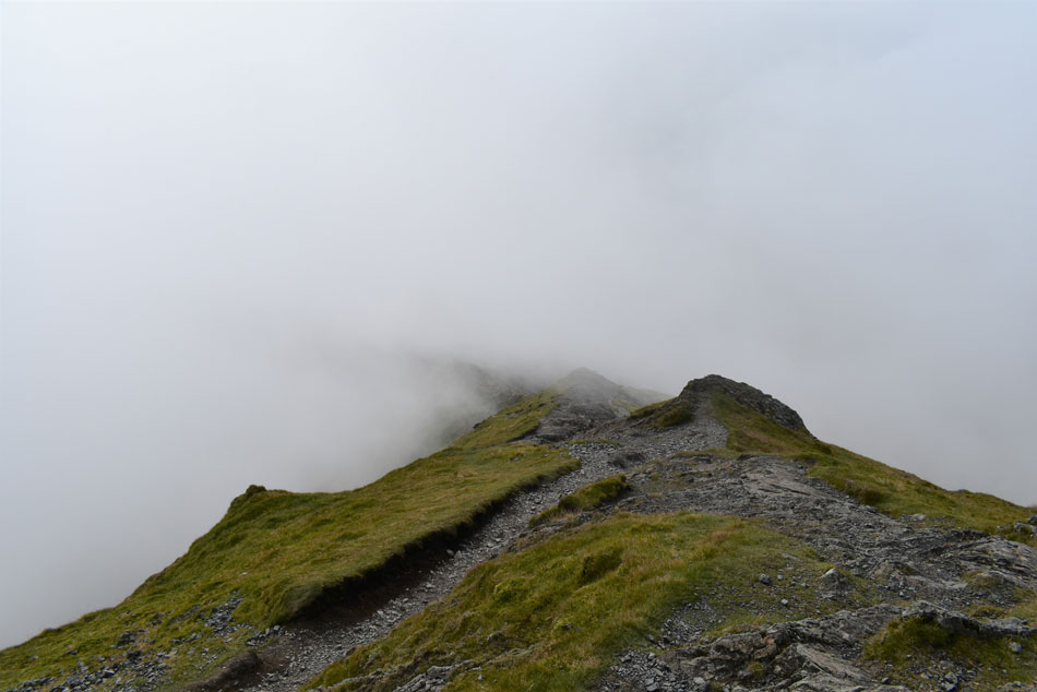
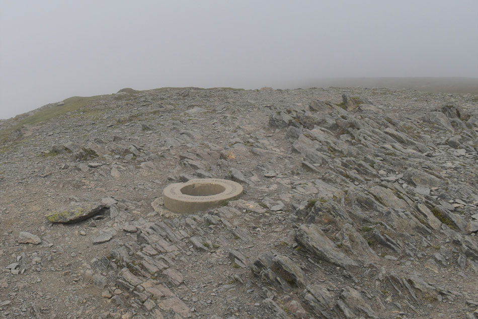
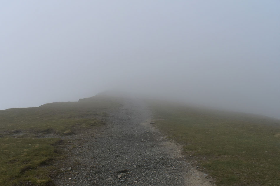
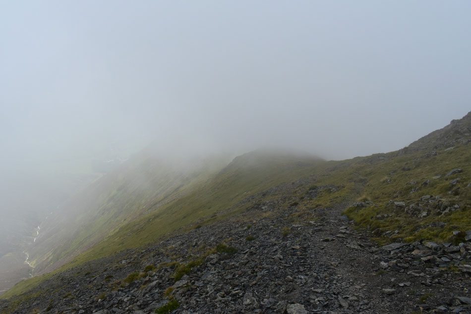
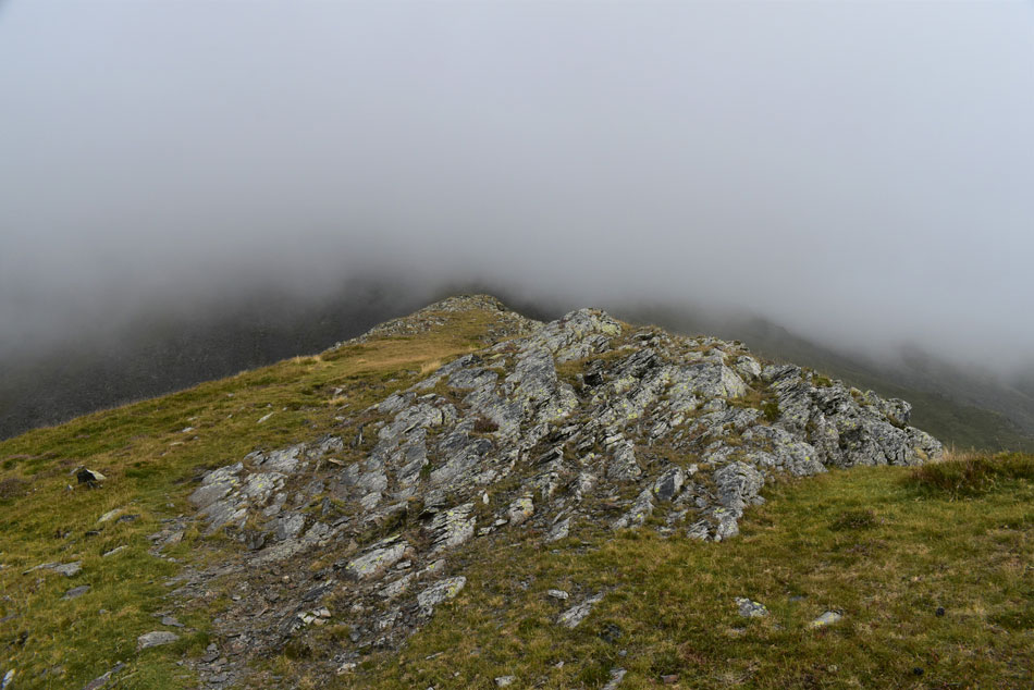
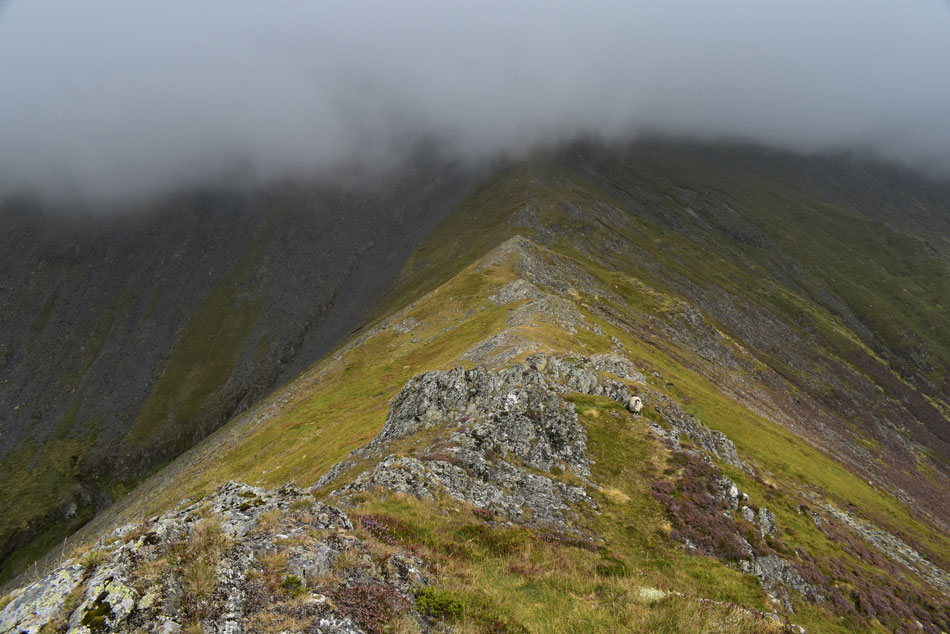
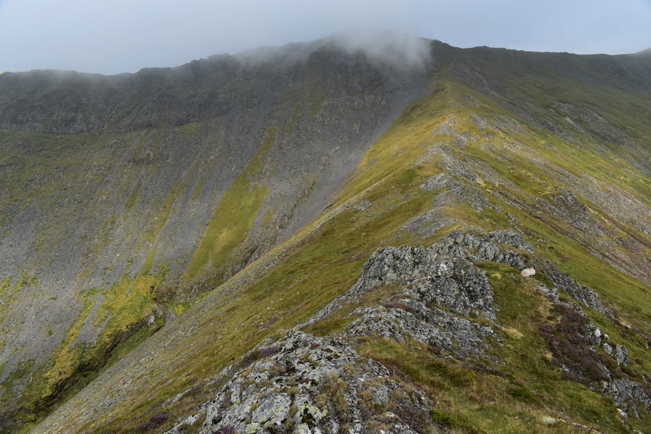
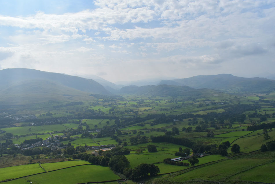
Despite being on the cusp of Autumn it was mild enough to start the walk wearing just a thin base layer although any brightness I experienced at ground level was replaced by cloud around the half way mark on Hall's Fell ridge. Then came the reminder that Autumn is just around the corner experiencing summit cross winds and wind chill. Locating the descent path onto the Gategill Fell ridge proved a tad difficult given the near zero visibility but once found it was plain sailing all the way to Knott Halloo.

 
Wainwright Guide Book Five
The Northern Fells

Hall's Fell Ridge

It is direct, exhilarating, has glorious views and (especially satisfying) scores a bulls-eye by leading unerringly to the summit cairn


Overview
Ascent: 2,312 Feet - 705 Metres
Wainwrights: Blencathra
Visting: Gategill Fell Top
Weather: A Cloudy Start Turning Brighter By Midday. Freezing Above The Summits Highs of 26°C Lows of 15°C Max Wind Speed 21.7mph
Parking: Threlkeld Village
Area: Northern
Miles: 4
Walking With: On My Own
Ordnance Survey: OL5
Time Taken: 3 Hours 30 Minutes
Route: Threlkeld - Gategill Farm - Hall's Fell Ridge - Hall's Fell Top (Blencathra) - Gategill Fell Top - Gategill Fell - Knott Halloo - Threlkeld
 

Parking Details and Map
Nearest Post Code: CA12 4RY
Grid Reference: NY 321 825
Notes: There is room to park in the lovely village of Threlkeld but it's advisable to remember that Threlkeld is quite a small village and parking is premium even for its residents so care must be taken when parking. The ideal place to park is next to the the church where you will find room for up to half a dozen cars, My advice is to arrive early to secure a place to leave your car due to how the alternative routes you can ascend Blencathra by, the most popular being The Halls Ridge where most would start from Threlkeld.


Map and Photo Gallery


Gategill Farm 09:00am 15°C

Despite arriving half an hour earlier I struggled to park at my 'usual place' alongside Threlkeld Church not helped by a set of temporary traffic lights set up just outside the church, I waited for the lights to turn green before spotting a space which I reversed parked in to. I parked up knowing that there was low cloud over Blencathra's summit I was in no rush to kit up which on a morning as mild as today comprised of lacing up my boots and throwing my pack over my shoulder. Todays walk has a good deal of descent and because of this I opt for a battered looking pair of Leki walking poles whose handles are in my opinion the best pole out there when enduring tough descent.

With my car locked I passed through the village passing the Horse and Farrier whose car park was busy with cyclists about to set off. I joined Fell Side road where the Hall's Fell Ridge came into view which was still topped with cloud "if this brightness continues" I thought "the sun should burn the cloud away" I turned left onto the dusty farm track bound for Gategill Farm and passed the construction entrance where an old culvert is being replaced and diverted on behalf of the Environment Agency. Gategill Farm looked just as it did the first time I saw it over ten years ago and long may it continue.


Views into Gate Gill with Hall's Fell ridge seen right.
A couple who had set of from the Fell Road just outside the village were ready to start their ascent who you can see through the tree on the right. To give them a good head start I really took my time reaching the gate then took in the view until they'd found their pace before I joined the path a good 50m behind them.

Gate Gill.
The cloud appeared alot more substantial than first thought but given that the forecast was 80% to 90% cloud free summits I'm holding out hope that it's going to clear before I reach the summit.

Mind you...
...the haze this morning was some of the worst I'd seen in a while, I think that's Great Mell Fell somewhere over there.

Hall's Fell Ridge.
Between the cloud and the haze my camera remained holstered that was until I gained the ridge properly where I took in the view of the rocky buttresses on the lower section of the ridge. The cloud which I'd been complaining about was actually making the walk complete with atmospherics all the while the view ahead was never the same.

Hall's Fell ridge.
The couple who'd started their ascent before me can be seen wearing white on the ridge up ahead.

Hall's Fell ridge.
The ridge gets much rockier under foot now and although there is a path to follow if the rock is dry as it is today I tend to ascend via the spine of the ridge while enjoying the view the rock scramble provides.

Hall's Fell ridge.
I was enjoying myself that much I hadn't noticed that the sun was now hidden by cloud, so much for my theory of it burning the cloud away eh.

Between the cloud...
...gaps of blue sky would appear leaving me to believe that I might get a cloud free summit after all.

Continuing along the spine of the ridge.
It looks like the summit might just be below cloud and with any luck the summit might just protrude above the cloud.

The view over Gate Gill and Middle Tongue.
Towards my descent route, the Gategill Fell ridge and Knott Halloo.

Reaching the curve in the ridge.
With more blue sky appearing I was certain the summit would clear any time soon.

The Arete Pinnacle comes into view.
As the cloud continues to clear.

Looking down Hall's Fell ridge.
From just below the Arete Pinnacle.

Looking down Hall's Fell ridge.
From the curve in the ridge.

The last section of the rock spine.
Before I rejoin the path seen over on the left.

Oh dear...
After clearing the rock spine I joined the path for the last few yards onto the summit which was when I noticed the chinks of blue sky were being replaced by thickening cloud.

Blencathra summit.

The couple who were ahead of me were nowhere to be seen as I crested the summit spotting two Red Robins who flew away as I approached. The summit felt like a very different place from the ridge which had been mild for much of the ascent, only now any ripples of sweat were quickly drying up due to a freezing cross wind.

A family appeared from the east and we nodded as a way of greeting "time for a birthday selfie" one of the sons asked before all the family huddled around the circular trig point and within seconds the phone was packed away before leaving for a descent of Hall's Fell ridge. It was just me and the summit again but with just thirty feet of visibility and a piercing wind I tapped the circular trig with the tip of my walking and left in the direction of Gategill Fell top.


Heading for Gategill Fell Top.
It's getting to the time of year now when the summit temperature is starting to feel very different to the valleys.

Descending Gategill Fell Top.

I soon reached Gategill Fell top and looked down into a void of nothing, my view was of steep crags and if that was the way down given todays conditions I would alter my descent for one of Blease Fell instead. I left the face of the summit and walked back where it was less windier, my research told me there was a path here I just needed to locate it so out came the map which was when I realised the path was located about 30 yards east of the summit.

Spotting the path I started my descent first very steeply where the path zigzagged in short sections before running west below the crags I'd been looking down on from the summit,


Murky views over Gategill Gill towards Hall's Fell ridge.
If you squint you can just make out two walkers in the centre of the photograph.

Gategill Fell ridge.
Continuing with quite a steep descent the ridge levels over a series of rocky buttresses.

The view back along the Gategill Fell ridge.
Sadly the cloud is still down but that's all about to change.

Gategill Fell ridge.
Now that's what you call a ridge!

What a spectacular place.
 

The cloud is starting to lift from Hall's Fell ridge.
Revealing more walkers along its spine with Doddick Fell top in the distance.

Gategill Fell ridge and Gategill Fell Top.
It was too early for lunch but all the same I found myself a spot on a rocky buttress close to the end of the ridge and watched the cloud peel away from Gategill Fell Top and Blencathra summit.

Gategill Fell Top and Blencathra (Hall's Fell Top)
 

Looking back along the Gategill Fell ridge.
Towards Gategill Fell Top.

Gategill Fell Top from Knott Halloo.
This view looks towards the last rock buttress from Knott Halloo summit.

Knott Halloo.
Taken as I took in one last view before Knott Halloo disappears.

The view south.
Towards Threlkeld Knotts, Clough Head, High Rigg, Low Rigg, Bleaberry Fell and High Seat...it's still very hazy but at least the sunshine is back.

Looking over Blease Gill towards Blease Fell.
Now in wonderful sunshine.

Blease Fell, Blease Gill and Knott Halloo.
The descent of Knott Halloo wasn't without its steepness and my feet felt the gratitude as I kicked my heel into the back of my boots once I'd reached the intake wall. All that was left now was the half mile walk back to Gate Gill.

Heading back towards Gate Gill.
It's still hazy but at least Great Mell Fell can be seen more clearly now.

Blencathra and Hall's Fell Ridge.
 

Blencathra and Hall's Fell Ridge.

Passing walkers heading towards Gate Gill I slowed my pace not really wanting this short, but exhilarating walk to come to an end. Sighting a group of walkers on the lower section of the Hall's Fell Ridge which by now was ablaze in hot afternoon sunshine.

The cloud had completely cleared with wide vistas of blue from above yet just over an hour early you'd have struggled to see the end of your nose while contemplating at the beginning of September would I be laughed at for adding a pair of gloves.


Back to top