Derwent Edge from Ladybower Reservoir

8th October 2021

On the cusp of Auntum it's quite difficult to predict what the forecast is going to do one day to the next more so after another unsettled week I spotted a weather window in the Peak District and decided to act on it.

Between our weekly catch up emails between myself, David and Rod, Rod mentioned "wow two consecutive walks in the Peak District, have you fell out with the Lakes" or similar words to that affect, my reply was I was chasing the better forecast although I must admit, two weeks on the run walking in the Peak District is normally unheard off and that isn't to say I've missed the lakes terribly.

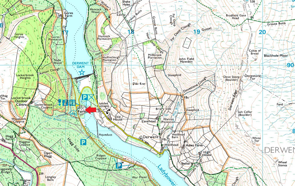
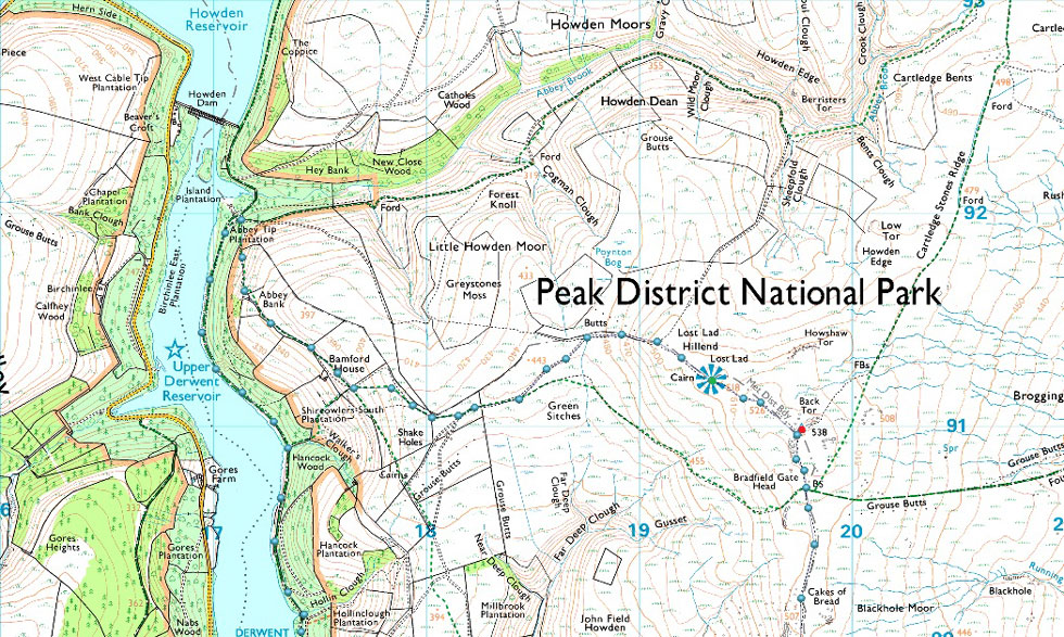
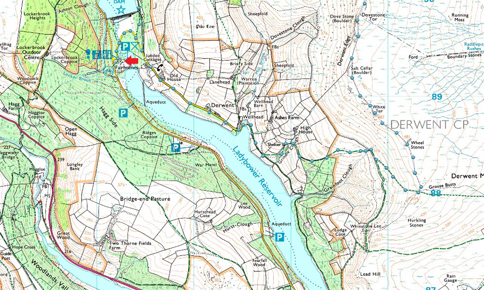
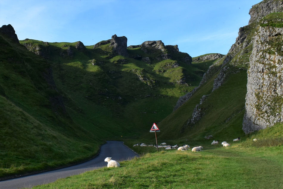
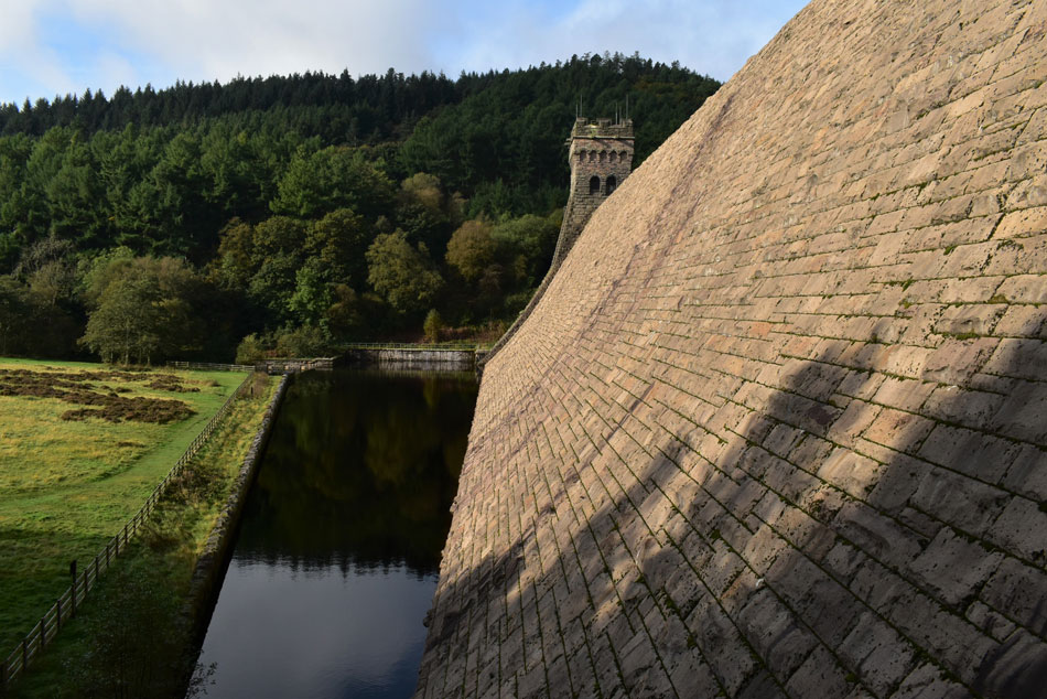
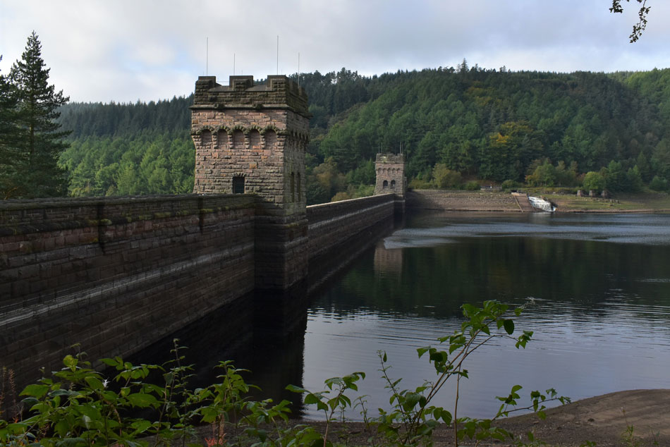
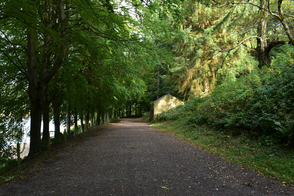
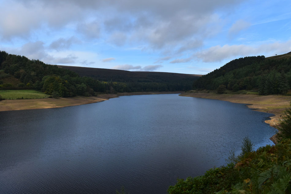
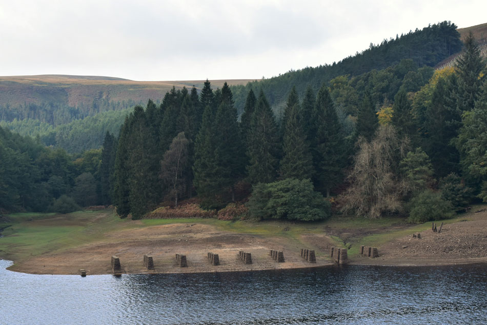
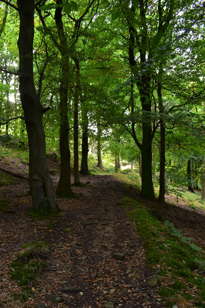
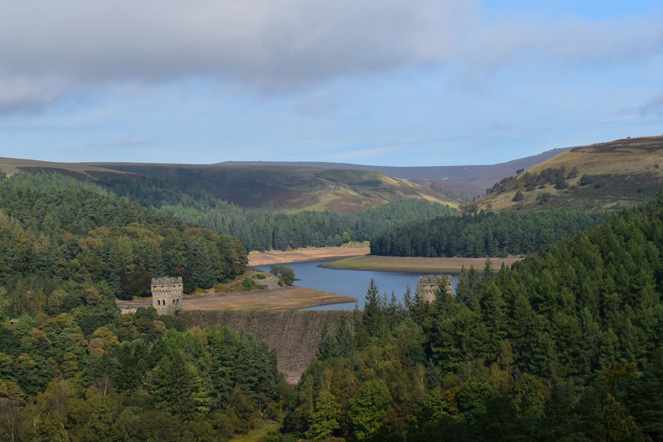
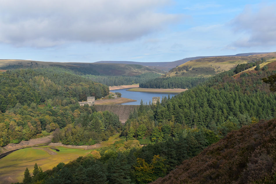
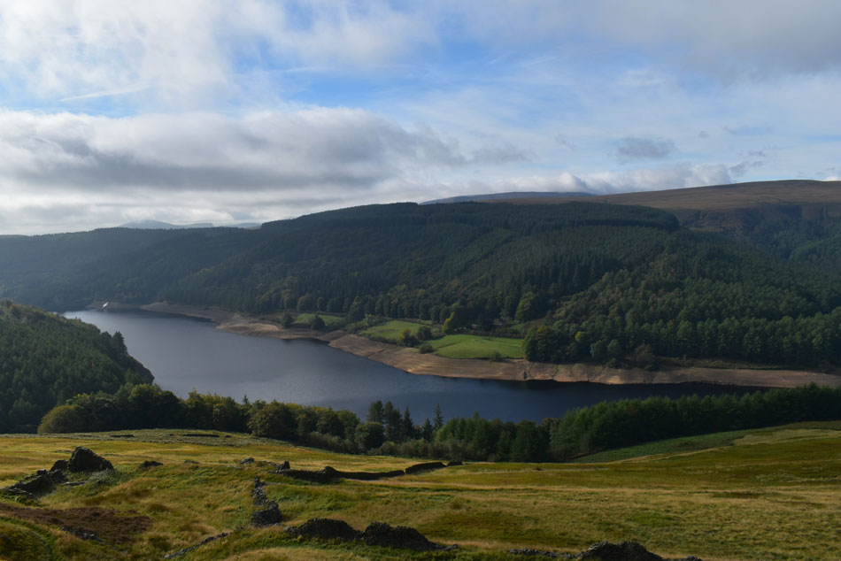
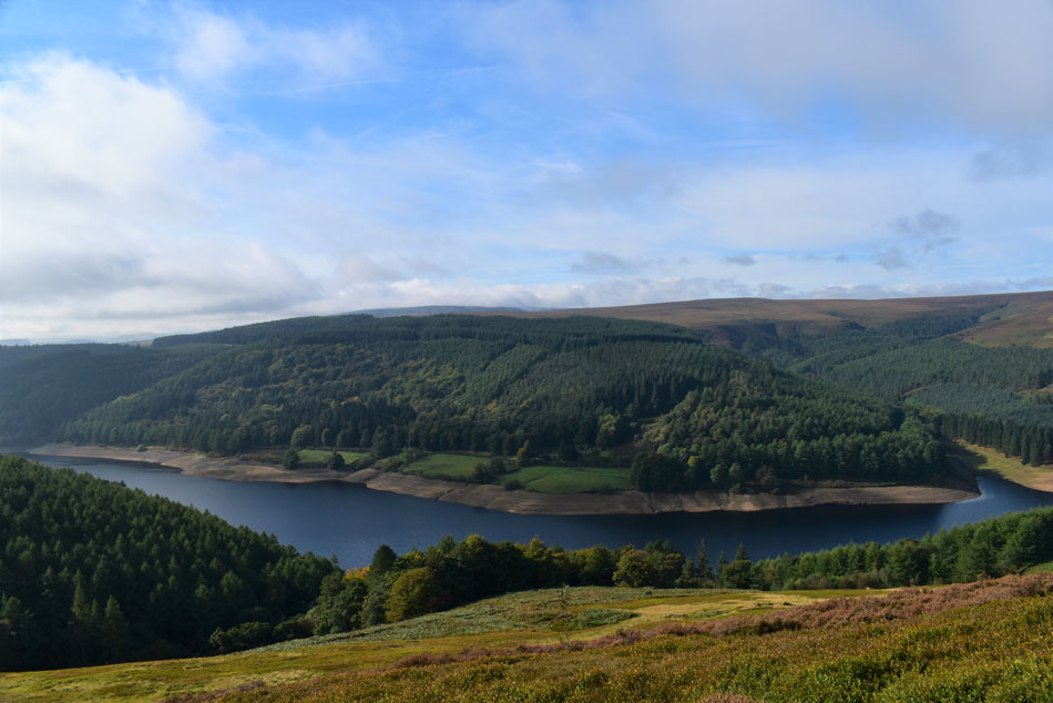
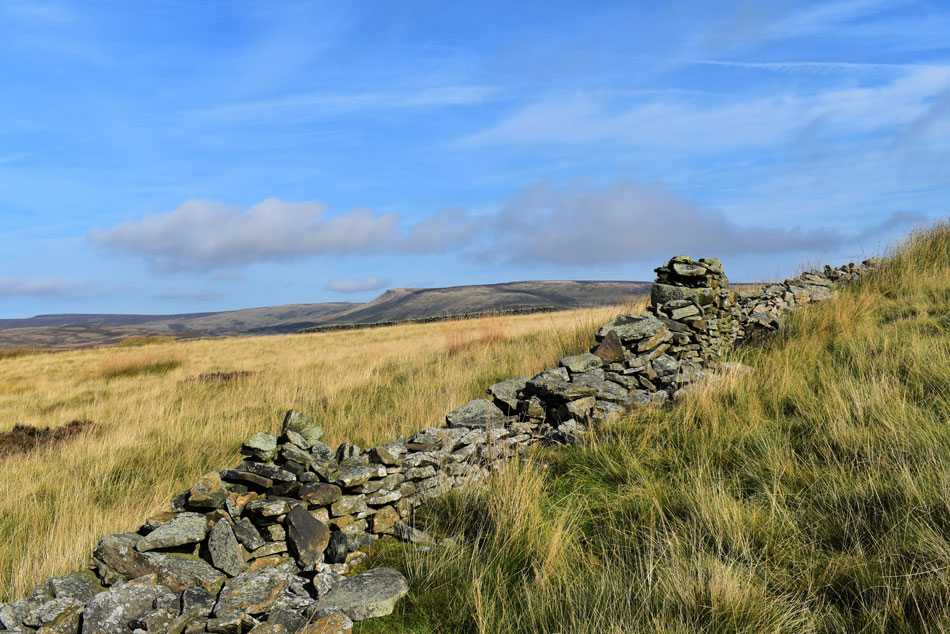
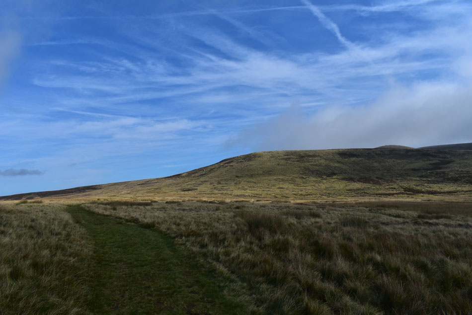
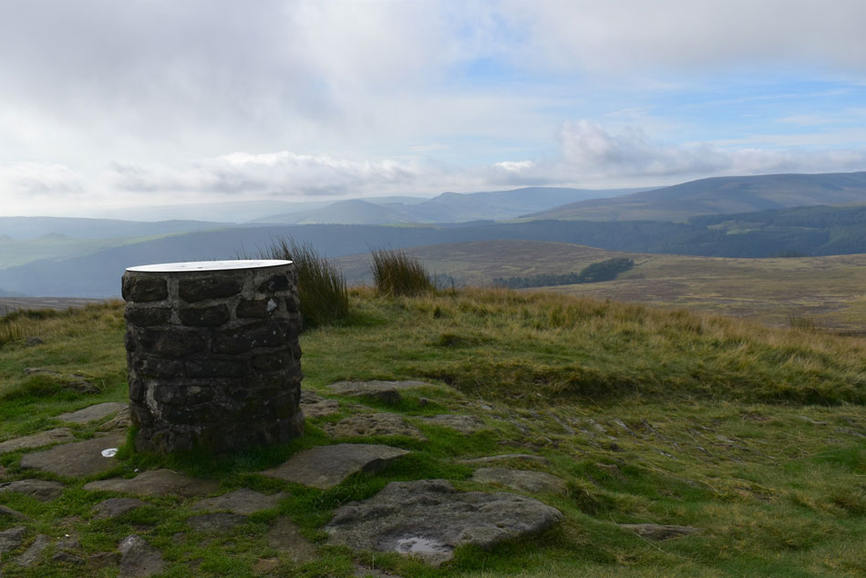
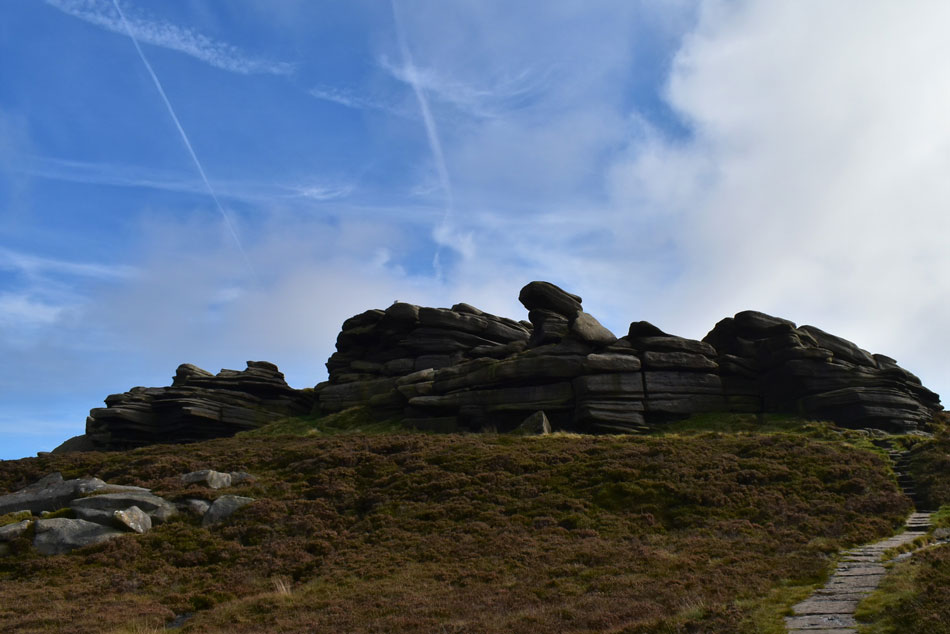
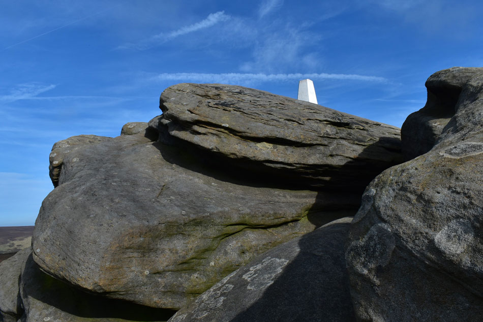
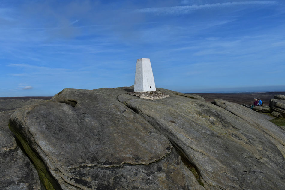
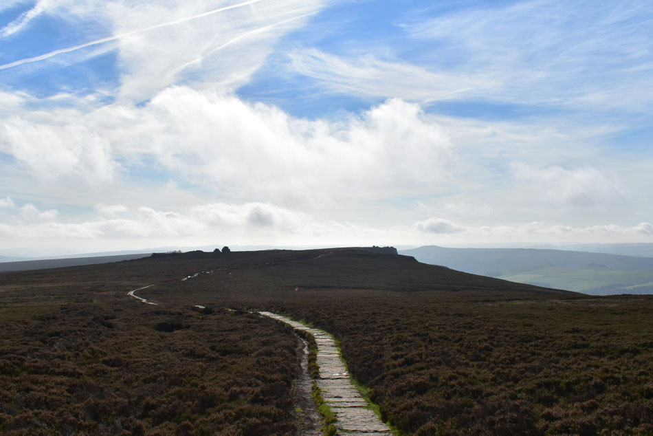
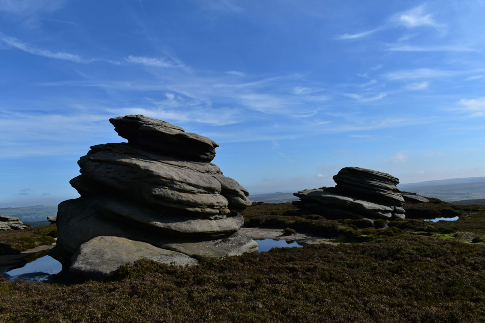
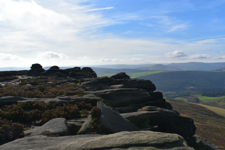
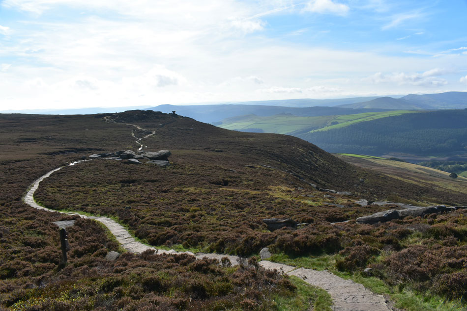
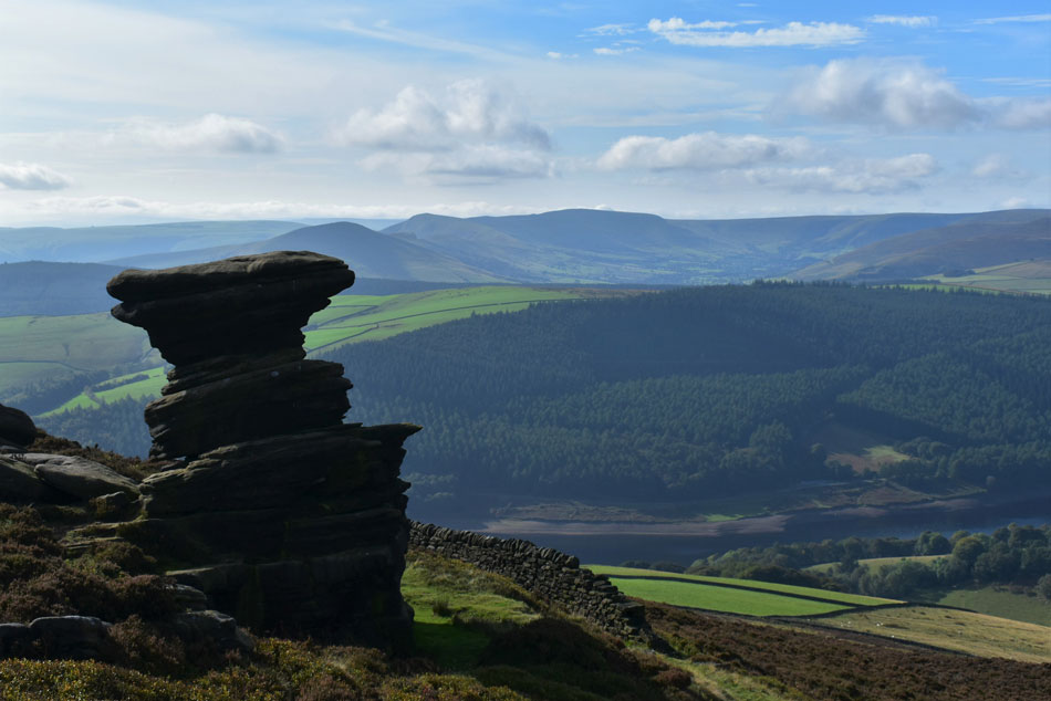
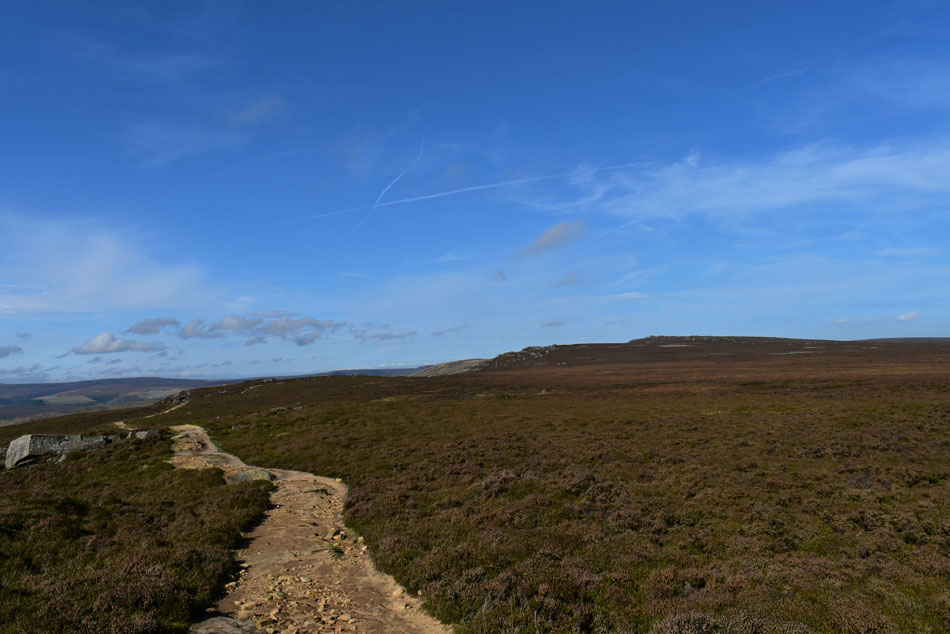
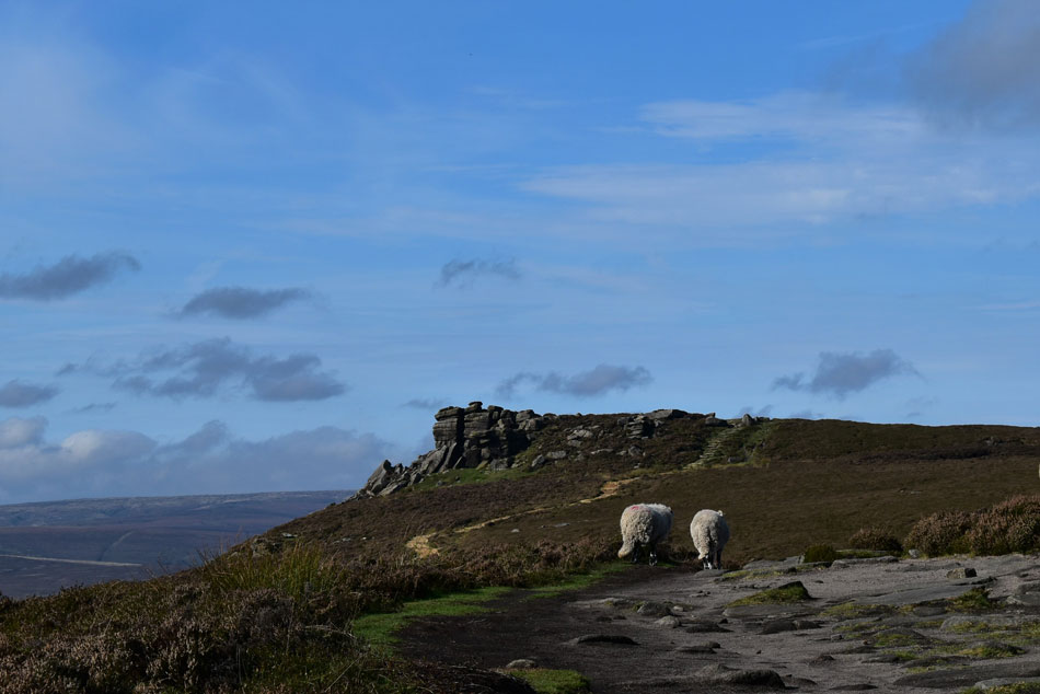
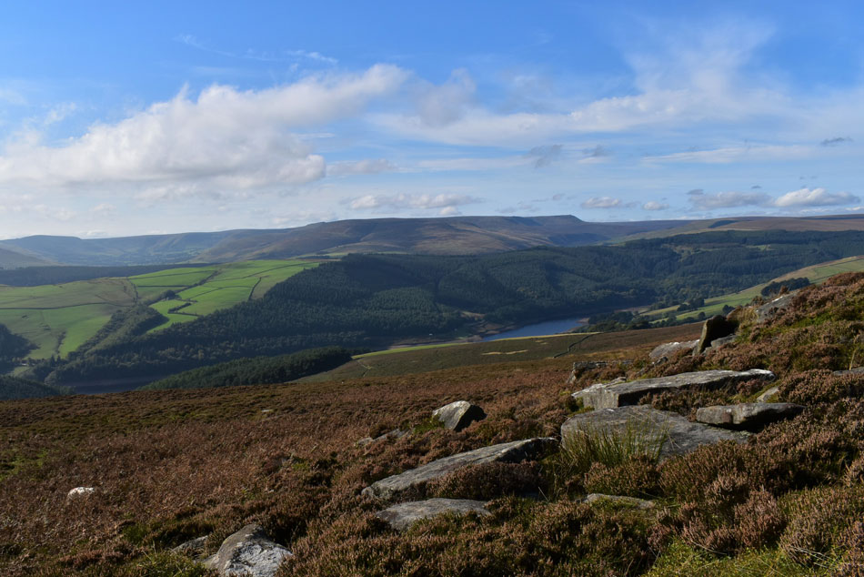
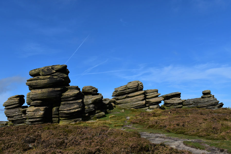
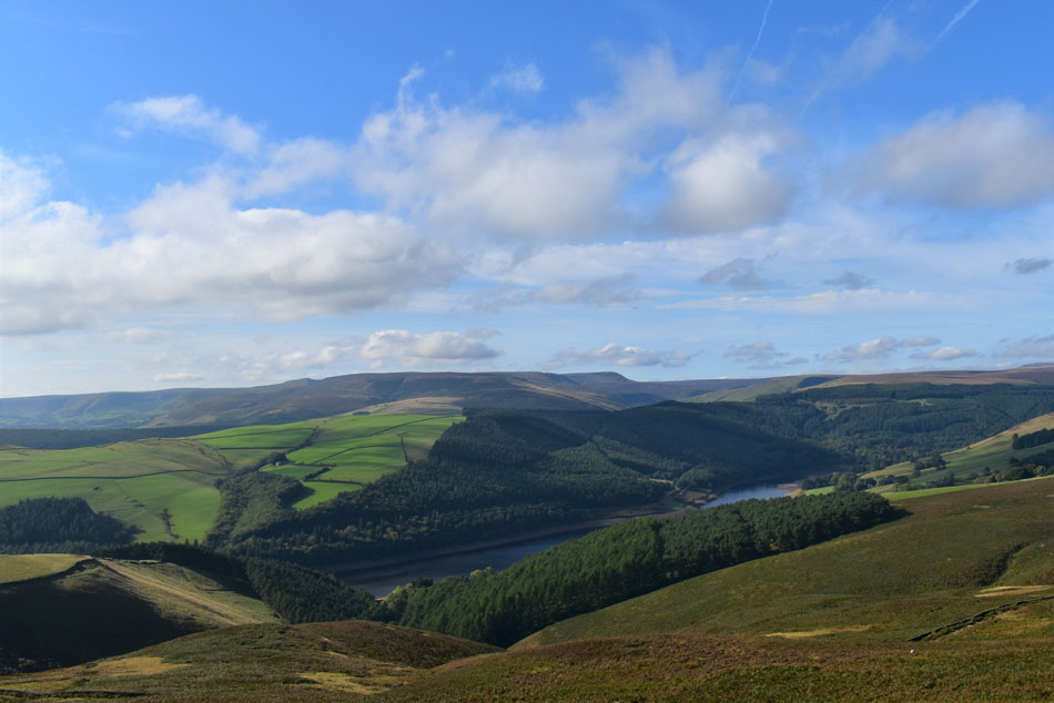
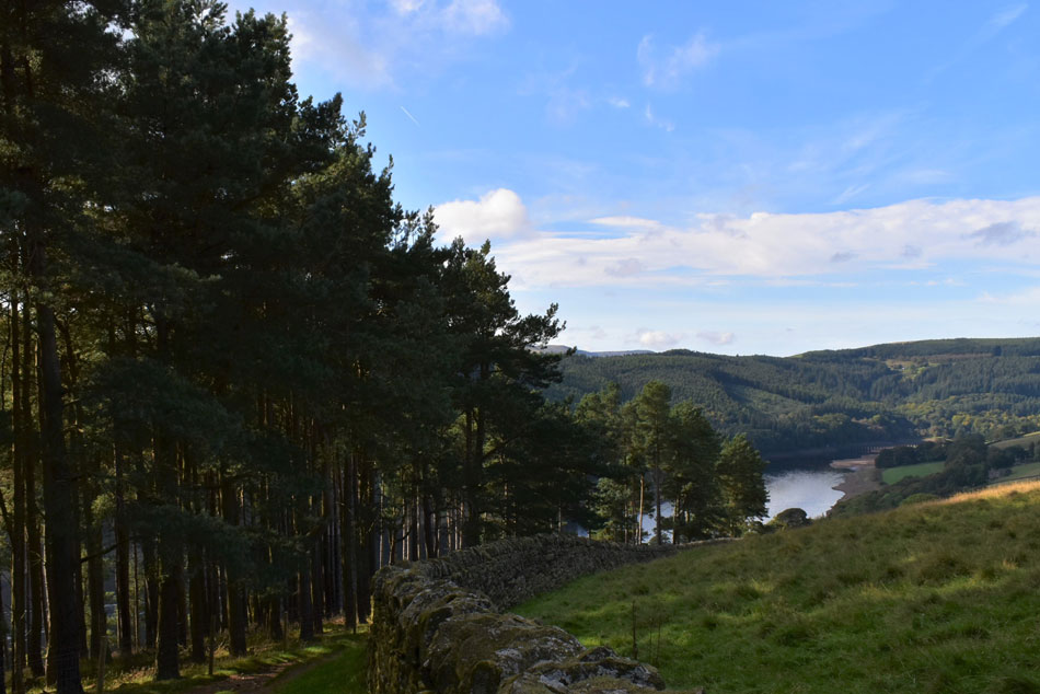
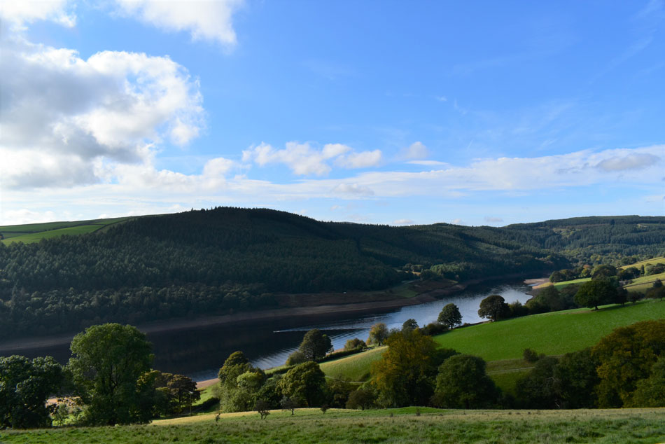
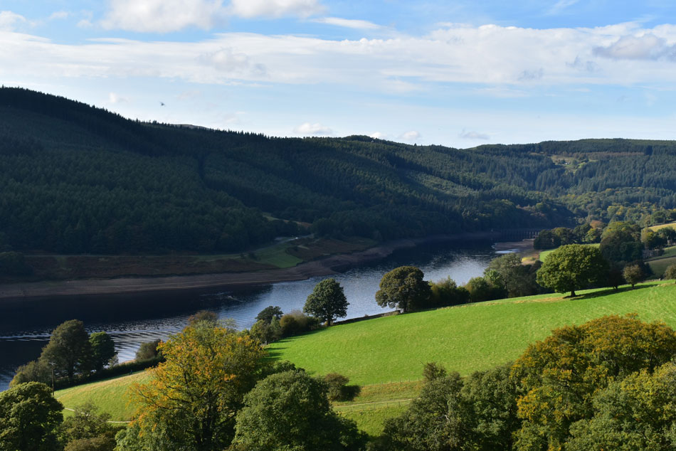
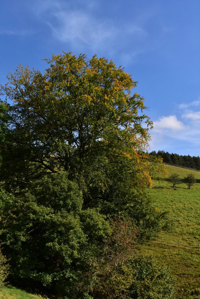
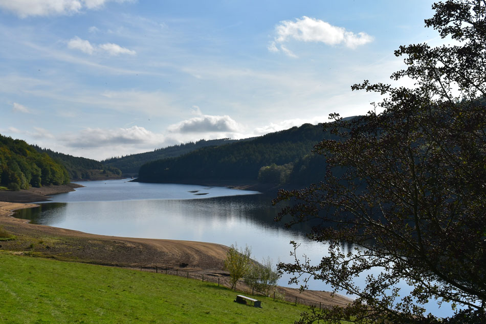
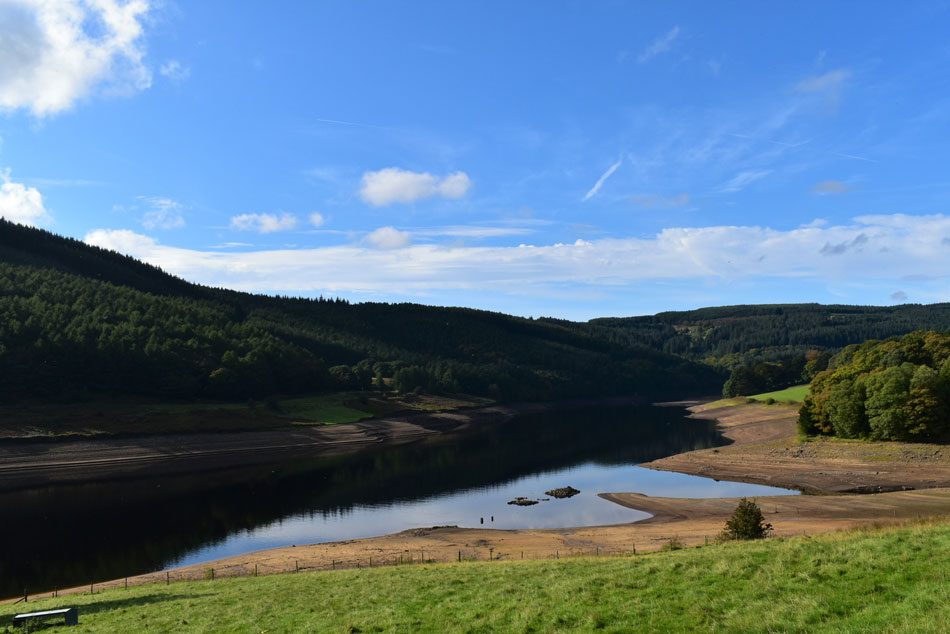
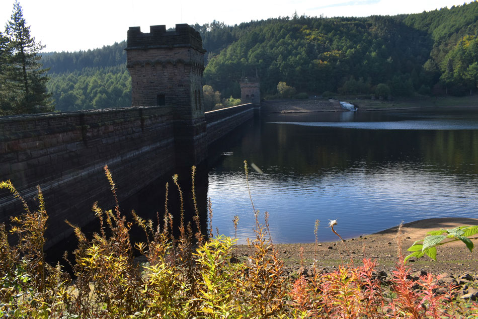
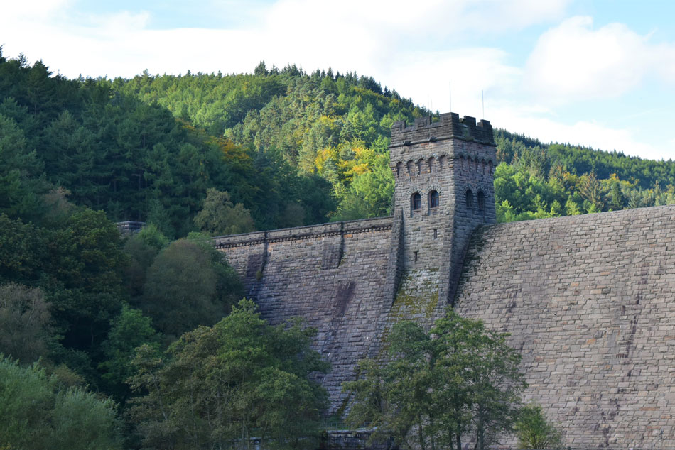
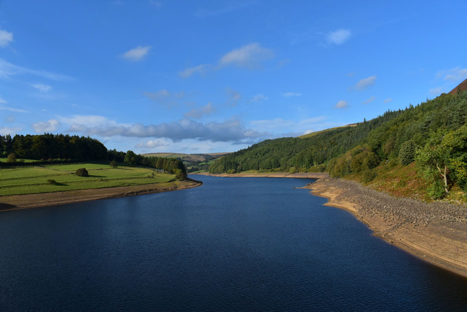
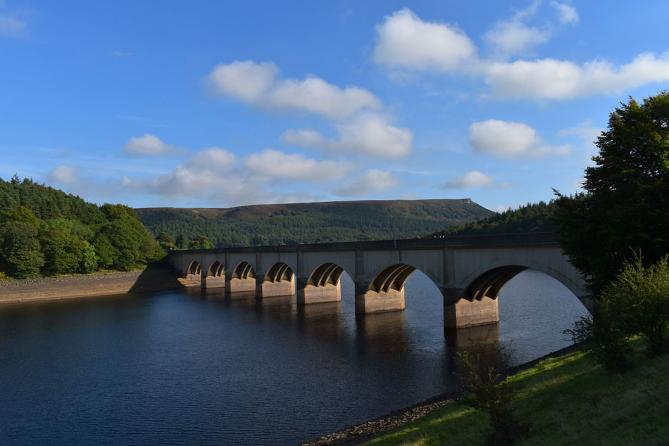
Todays walk choice is Derwent Edge from Ladybower Reservoir which is new walking territory so I researched the route from back to front as I would any route I haven't walked before and by doing this I was able to relax more and enjoy my surroundings where it would be fair to say, Derwent Edge on the a day like I had today blew me away.


Ordnance Survey OL1
The Peak District
 

Overview
Ascent: 1,380 Feet - 421 Metres
Summits: Back Tor
Visting: Lost Lad
Weather: Overcast To Start Turning Warm & Bright By Late Morning. Highs of 18°C Lows of 12°C
Parking: Fairholmes Car Park
Area: Hope Valley, Peak District
Miles: 9
Walking With: On My Own
Ordnance Survey: OL1
Time Taken: 4 Hours 40 Minutes
Route: Fairholmes Car Park - Derwent Dam - Upper Derwent Reservoir - Abbey Tip Plantation - Abbey Bank - Bamford House - Lost Lad - Back Tor - Bradfield Gate Head - Cakes of Bread - Dovestone Tor - Salt Cellor - White Tor - Wheel Stones - Top of Grainfoot Clough - Grindle Clough - Ladybower Reservoir - Jubilee Cottages - Fairholmes Car Park
 

Parking Details and Map
Nearest Post Code: S33 0AQ
Grid Reference: SK 176 893


Map and Photo Gallery


Winnats Pass, just outside Castleton.
My drive through to Ladybower Reservoir saw me drive down Winnats Pass so I pulled over at the Speedwell Cavern car park to take this photo, I'll be coming back this way later but I suspect it'll be much busier by then.

Fairholmes Car Park, Ladybower Reservoir 10:30am 12°C

I treated myself to a lie-in which would allow for any lingering mist to disappear yet despite a very Summery start there was still a few ominous clouds lying about. Fairholmes car park was less than half full and I was able to pick and choose my parking spot making sure I didn't run over any ducks who call this place home.

Accompanied by half a dozen curious ducks I laced up my boots at the back of my car while getting my bearings. Through the trees towards the rear of the car park I could see the aqueduct spanning Ladybower Reservoir which must mean Derwent Dam and Upper Reservoir were dead ahead. More ducks waddle over and surround the back of the car "Jesus I'm being high jacked by ducks!"

Two ducks are pecking at my rear tyre as one watches from the rear "if you'd just excuse me" as I reached for my jacket. I couldn't close my boot lid and hook my car keys to my packs internal attachment clip fast enough grabbing my walking poles which I hadn't still hadn't extended before exiting the car park to the right of the duck feeding area seen enclosed by the fence up ahead.


Impressive Derwent Dam wall seen with the West Tower.
With Ladybower Reservoir now behind me I left the car park and was soon treated to this impressive view of Derwent Dam wall. The start of todays walk will take me along Upper Derwent Reservoir as I head towards Abbey Bank.

Derwent Dam East and West Towers.

It was here during 1943 RAF 617 Squadron practised low flying at night just 60 feet above the waters surface in Lancaster Bombers testing Barnes Wallace's 'bouncing bomb' before successfully carrying out Raids on the Ruhr valley dams in Germany.

The dam was later made famous in 1955 when the film 'The Dam Busters' was released. The RAF still practice their low flying here.


Walking along Upper Derwent Reservoir.
With the dam wall behind me I continued along the tree lined track noticing how low the reservoir was looking.

Upper Derwent Reservoir.

It's exceptionally mild but there's still quite a lot of unforecasted cloud about which I'm hoping should clear by the time I reach Abbey Bank which is the tree lined area over on the right. A second option to gain the top of Abbey Bank / Bamford House is via Walkers Clough out of shot tucked away over on the right.


On the opposite side of the bank.
Concrete pillars which once supported a railway bridge during the construction of the dam.

Ascending Abbey Bank via Abbey Tip Plantation.
After a mile and half I turned right, then right again forty yards later and began the steady plod up Abbey Bank.

Good grief I didn't expect that!
As I climbed higher the view over Howden Dam and Howden Dam reservoir was stunning.

Howden Dam and Howden Dam Reservoir
I'm probably a few weeks too early to appreciate the woodland turning into its Autumnal colours.

Heading towards the ruins of Bamford House.
With the ascent of Abbey Bank behind me I downed my pack and took off my jacket before neatly folding it under the lid of my pack. I'm heading for the area above the ruins of Bamford House which is located just beyond the sloping wall ahead. I'll ascend the grass bank seen left and view the ruins of Bamford House from above.

Upper Derwent Reservoir and Calfhey Wood from Bamford House.
With Hancock Wood and Walkers Clough seen left.

Upper Derwent Reservoir and Calfhey Wood from Bamford House.
After passing above Bamford House I continued ascending the grass bank until I reached a cross roads marked with a substantial stone cairn where I head left alongside a stone wall.

Howden Edge appears.
As I continue ascending by the stone wall.

Lost Lad on the horizon.

The ground plateaued as the path traced through Greystones Moss only stopping to pass through a gated sty where a few walkers had congregated to chat.

After passing through the gate I overtook a group of walkers who I passed earlier as they started thier ascent on Walkers Clough "thats embarrassing" I heard one of them mutter "thats the second time he's passed us" while one chap laughed "and I'm a bloody fitness trainer"

Lost Lad summit.

Legend has it that the summit bears its name to 13 year old Sheppard boy Abraham Lowe from what was Derwent village before the village was flooded to make way for the reservoir. During a fierce Winter snow storm Abraham's mother had sent him up to gather sheep but Abraham became lost as the storm intensified.

Abraham huddled for shelter in the lea of rock on the aforementioned hilltop scratching the words Lost Lad on nearby grit stone in the hope someone would see it but gradually he succumbed to hypothermia and didn't survive the night.


Back Tor.
Less than half a mile from Lost Lad is Back Tor.

Gaining the summit is a little trickier than first thought.
Unless you fancy a scramble that is.

As close as I got to Back Tor trig point.
Back Tor was todays busiest summit and without wanting to embarrass myself in front of an audience I settled for this photo of Back Tor summit. By now any cloud which was obscuring Derwent Edge had lifted revealing blue skies for miles around.

Derwent Edge from Back Tor.
Two miles of paved bliss.

Cakes of Bread.
The first of many 'honey pot' stops was at Cakes of Bread found just a short distance from the main path.

The second was the Limestone rocks along Derwent Edge.
Those with a keen eye might be able to spot the Edale Valley in the distance over on the right with Loose Hill, Back Tor and Mam Tor.

Continuing along Derwent Edge.
The slabs descend Derwent Edge flanked heavily with heather and the odd cackling grouse.

Salt Cellar.
With the Edale valley seen in the distance.

Looking back along Derwent Edge towards a distant Back Tor and Lost Lad.
In what can only be described as glorious conditions which felt like the middle of Summer rather than the start of Autumn,

Looking back on White Tor.
As I make my way over to the Wheel Stones.

Edale valley, and the Woodlands Valleys.
Divided by the mass of Kinder Scout and Kinder Moor.

The Wheel Stones.

Also known as the Coach and Horses (when seen from the road below) From a time when the whole of the Peak District was covered in grit stone most of which was scraped off by glaciers during the last ice age.


Ladybower Reservoir.
Seen as I begin my descent which will take me to the right of the woods in the photo.

Descending towards Grindle Clough / High House Farm.
Today this track was very popular with mountain bikers where even the fittest of riders struggled against the gradient, I couldn't blame them.

The views extend over Ladybower Reservoir.
Note the little fishing boat whose distant outboard engine broke the silence.

Ladybower Reservoir.
With the tree lined base of Grindle Clough below.

Preparing for Autumn.
 

Looking South along Ladybower Reservoir.
With the descent of Grindle Clough behind I stopped in at the Barn Shelter and thought about stopping to eat a late lunch as the energy value from my breakfast banana had worn off a while ago but I decided against opting to head back to Derwent Dam to eat lunch instead.

Ladybower Reservoir.
 

Lunch with a view, Derwent Dam.

Despite nearing starvation I took my time along the shores of Ladybower Reservoir whilst soaking in the sunlight like a human solar panel passing country homes and Jubilee Cottage along the way. The aqueduct over Ladybower Reservoir marked the end of the walk as I descended the tree lined lane towards the curve in the road which would lead me back towards Fairholmes Car Park.

I took the right track sighting the east tower which flickered in and out of view from behind the treeline eventually emerging at the dam wall while keeping my fingers crossed that the bench I'd had my eye on was void of bums, It was.

By now it was closer to tea time than it was lunch but try telling my belly that. I tucked into a beef salad wrap and washed it down with half a litre of Summer fruits joined occasionally by a Red Robin perched on the wire fence in front of me, I'm sorry mate there's now't going spare.


Derwent Dam West tower.
Taken as I walked the last few yards back to Fairholmes car park.

Ladybower Reservoir.
From Ladybower Bridge.

Ladybower Bridge.
With Stanedge Edge in the distance.


Back to top