Easedale Tarn, Easedale & Helm Crag

23rd October 2021

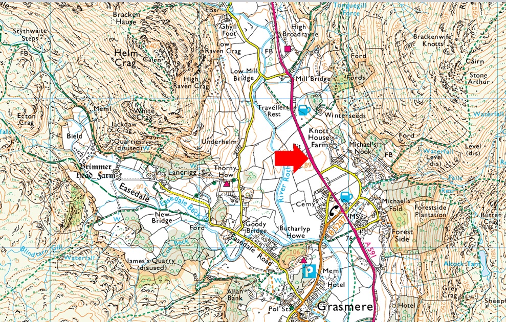
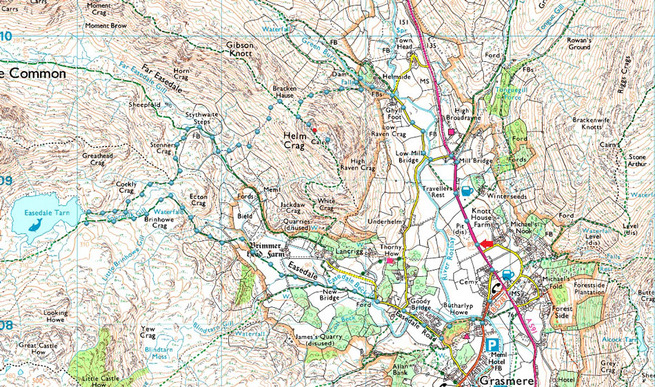
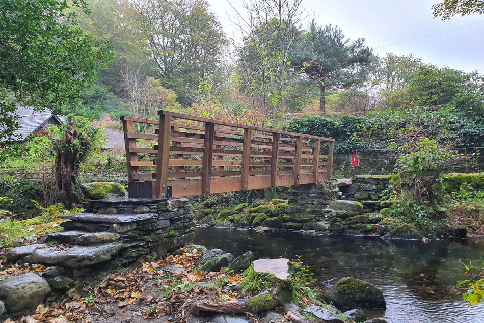
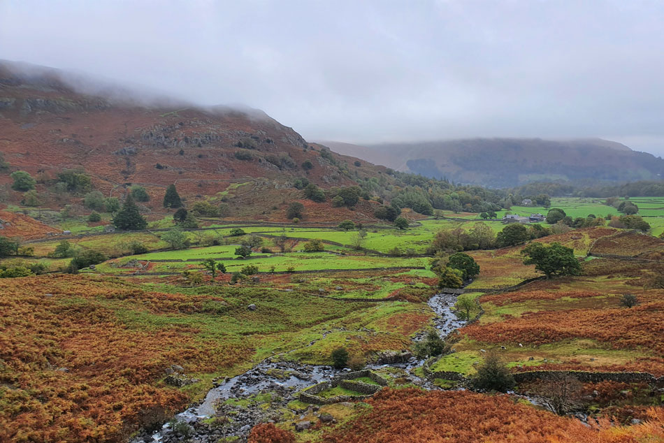
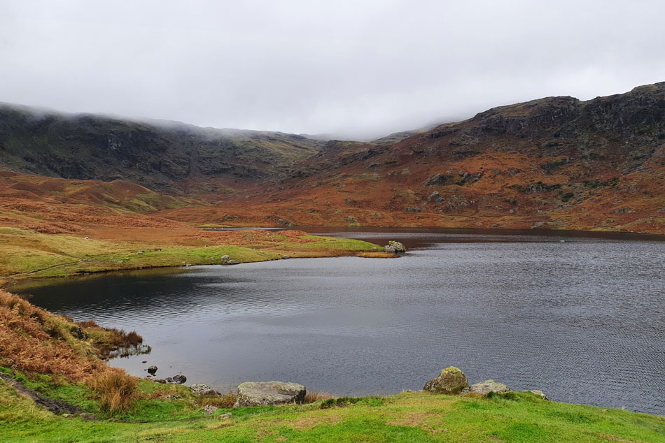
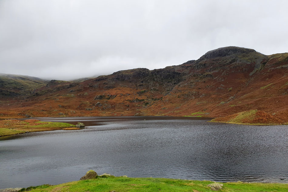
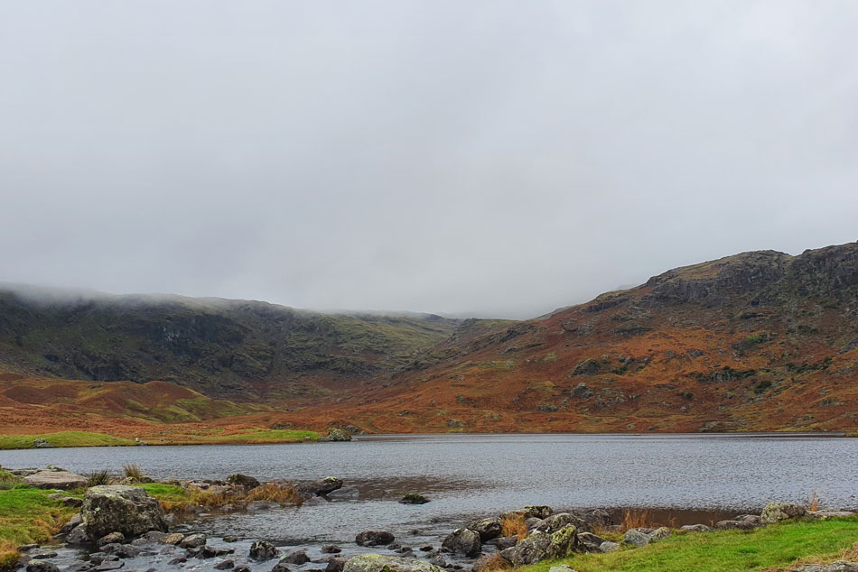
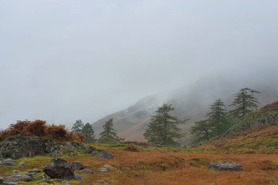
You don't expect to be presented with the best forecast at this time of year but with that said I was still going to make the best out of a poor forecast. I've had a hankering to visit Easedale Tarn since my last visit back in 2018

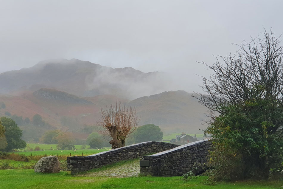
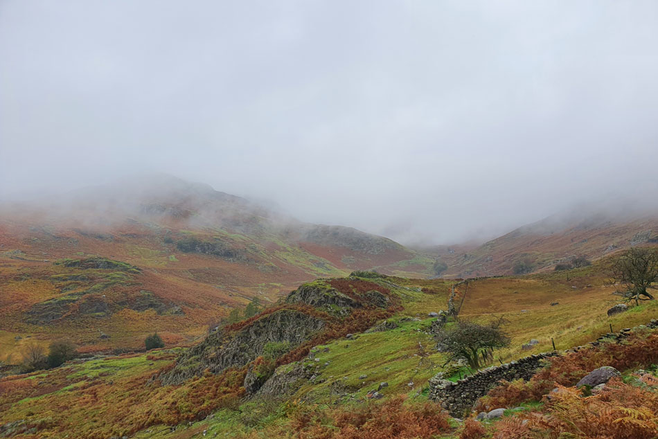
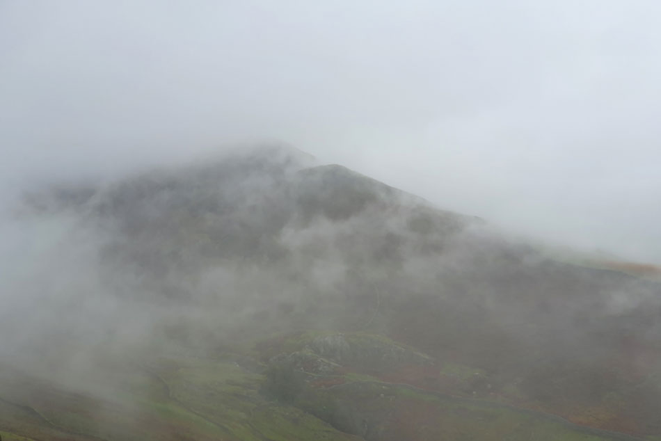
The original plan was to gain Easedale Tarn then if the forecast allowed maybe head as far as Tarn Crag, Coledale Tarn and round to Blea Rigg but the weather wasn't playing ball so I had to come up with a plan which came in the form of Helm Crag just across the Easedale valley.

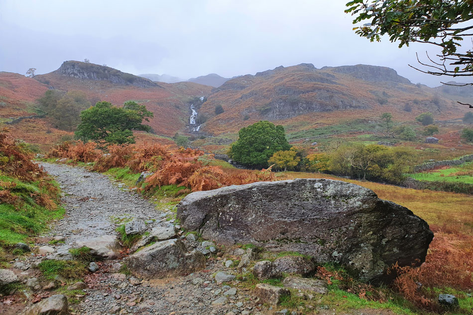
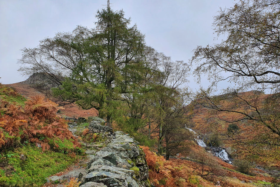
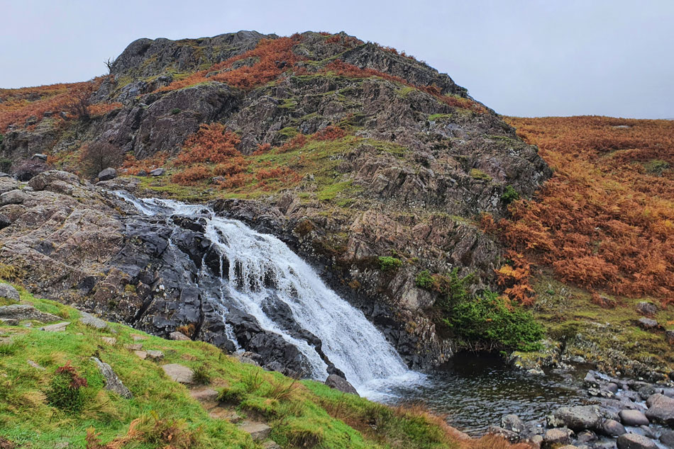
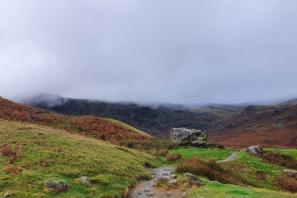
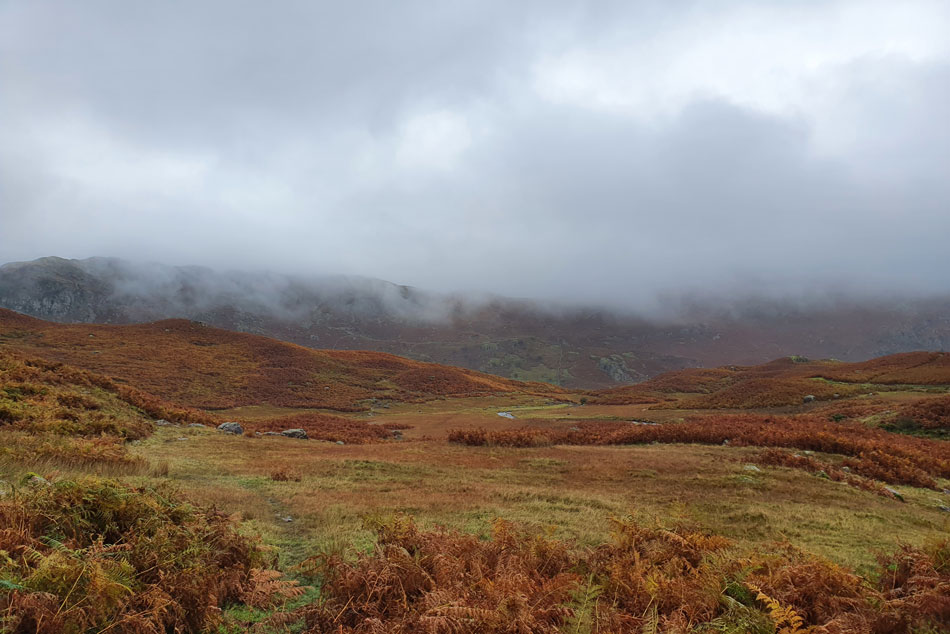
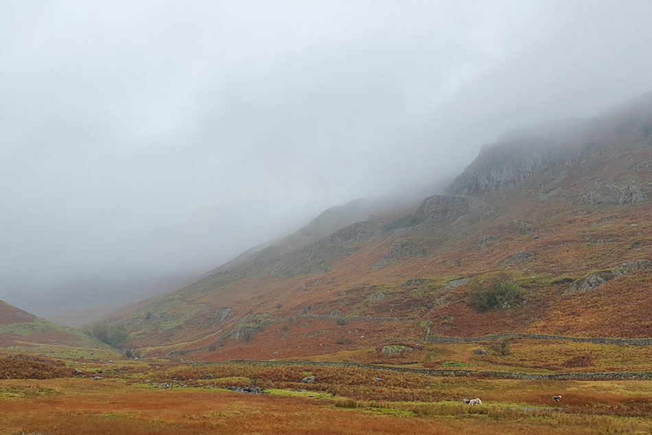
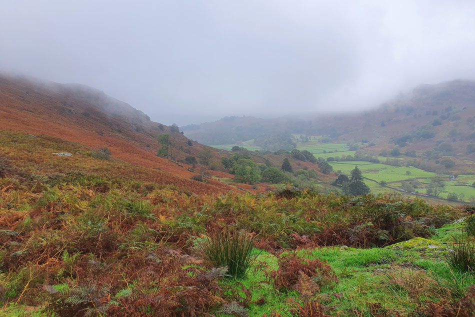
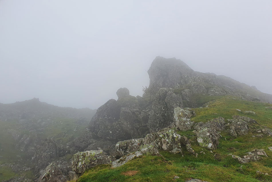
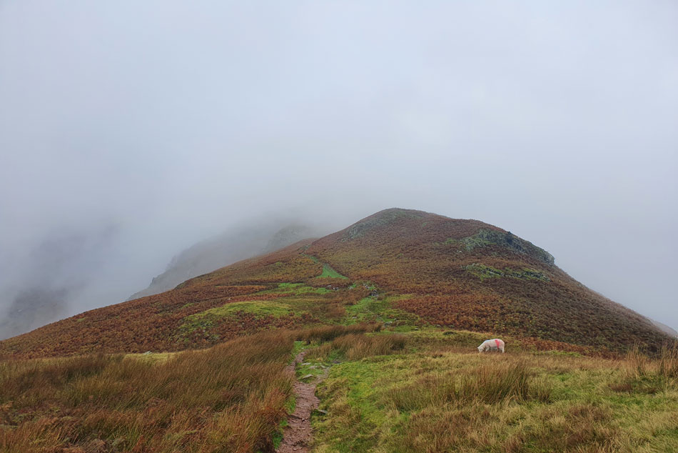
Linking Easedale Tarn with Helm Crag may see a bit off the beaten track but it enabled me to explore Easedale up close and personal, something that I hadn't had the chance to do before. Despite its steepness the ascent onto Bracken Hause Far Easedale Gill left spine tingling views back into Far Easedale whilst the mist clung to Horn Crag below Gibson Knott, the view alone made my mind up there and then that I'd come up with a blinding walk to suit the conditions.

 
Wainwright Guide Book Three
The Central Fells
Helm Crag may well be the best know of all Lakeland fells, and possibly even the best known hill in the country.
 

Overview
Ascent: 1,648 Feet - Metres
Wainwrights: Helm Crag
Weather: Drizzle & Light Rain On & Off. Feeling Cold Above The Summits Highs of 9°C Lows of 7°C
Parking: Parking Spaces, A591 Grasmere
Area: Central
Miles: 6
Walking With: On My Own
Ordnance Survey: OL5 - OL7
Time Taken: 3 Hours 15 Minutes
Route: A591 - Grasmere - Easedale Road - Goody Bridge - Easedale Beck - Sourmilk Gill - Easedale Tarn - Easedale - Stythwaite Steps - Bracken Hause - Helm Crag - Helmside - A591
 

Parking Details and Map
Nearest Post Code: LA22 9RF
Grid Reference: NY 337 408
Notes: Possibly the most convenient, and popular layby in Lakeland! The layby is found just outside Grasmere in between the village and the Swan Hotel. Despite this being a rather long layby parking here is very popular mainly because of the position and access to Helm Crag, Far Easdale and the Fairfield fells. Parking is free.


Map and Photo Gallery


Easedale Road 08:30am 9°C

I'd already encountered a couple of heavy showers during the drive north which had stopped by the time I left the M6 but with that said low cloud was clinging to the tops of the trees as I made my way through Windermere and Ambleside. I parked easily at the lay-by and even managed to spin my car around so it was pointing back towards Grasmere ready for the off later. Low cloud blanketed the slopes of Stone Arthur and Seat Sandal to the north but for now Helm Crag which just over my shoulder was somehow cloud free, it wouldn't last long.

It's a damp dreary morning the sort of forecast that would make most thing twice about heading out and who could blame them. I kitted up under my tailgate adding my gaiters before taking a glance towards Grasmere where a curtain of light rain was falling and within seconds it had reached the lay-by, off came the gaiters and on went the waterproof trousers, it's gonna be that kind of day. I left the lay-by as the rain passed leaving drizzle in the air and headed towards Grasmere where I passed through Butharlyp Howe while trying to catch a glimpse of Helm Crag which by now had also succumbed to low cloud.


Crossing Easedale Beck via Goody Bridge.
I continued along Easedale Road until Goody Bridge was reached which I crossed before picking up the slabbed path towards New Bridge.

Ecton Crag and Tarn Crag (Easedale) from New Bridge.
New Bridge was soon reached by which time the drizzle had turned to rain and I was taking a right soaking, still, very atmospheric though.

Sourmilk Gill comes into view.
Although the sound of the falls has been present since leaving Goody Bridge.

Autumn in the Easedale valley.
 

Looking back along the Easedale Valley.
With Brimmer Head Farm seen towards the right.

Sourmilk Gill upper falls.
Almost at Easedale Tarn now.

Blea Rigg comes into view over on the left.
With Belles Knott seen to the right of the large boulder.

Easedale Tarn.
Seeing as I'd taken a soaking and couldn't get any wetter than I was I had a little re-think regarding what to do next when I had a sudden change of plan and decided to include Helm Crag which I'd gain via descending back into the Easedale valley (proper) Despite walking the Lakeland hills for over fifteen years I'm ashamed to say I've never walked through the Easedale valley or crossed Stythwaite Steps for that matter.

Tarn Crag and Easedale Tarn.

I'm soon joined by a young lad who I'd seen tailing me as I climbed up alongside Sourmilk Gill who stops to chat as I took in the view over Easedale Tarn. Turns out he had set off from Elterwater (I presumed Walthwaite Bottom) and had dropped into Grasmere via the footpath below Huntingstile Crag.

His route would then take him up the stone slabs alongside Belles Knott, gain the ridge before descending towards Stickle Tarn, NDG and finally walk back to Elterwater, I couldn't help but be impressed with his chosen route on this dreary day so much so I think I'll probably walk it myself one day.


Crossing Easedale Tarn outflow.
We bid each other to 'enjoy the rest of your walks' before I crossed the outflow and began my descent into the Easedale valley.

Heading for the low point seen right.
Following the course of the outflow I descended slightly then continued across the grassy plateau below Cockly Crag.

Far Easedale with Horn Crag seen right.

The sound of a dog barking accompanied my descent 'possibly a Jack Russell' I thought as its bark echoed around through the valley before finally passing a group of men all of whom seemed to have a dog in tow.

The barking dog was the smallest of the pack and not a Jack Russell but a Patterdale Terrior, its bark could still be heard as I crossed Far Easedale Gill via Stythwaite Steps whilst scouring the misty hillside for the path I will gain Bracken How by, its wide berth from the top of Bracken How was easily spotted 'flipping eck, looks steep I thow't'


Swilrling mist.
Below Horn Crag.

Misty Far Easedale.
I left the valley and started my ascent firstly alongside a stone wall which was soon left behind as the path narrowed through saturated bracken.

Looking down on the Easedale valley.
About halfway through the ascent this grassy perch provided a grand view over the Easedale valley.

The Howizter, Helm Crag.

I was right the path was as steep as it looked and gaining Bracken How seemed to take longer than it should not helped by the rain which switched between light to heavy. On gaining Bracken How I passed a very tame Herdy who was sitting the showers out in a patch of long grass. By now I was ascending into cloud as the faint outlined crags of Helm Crag appeared. Continuing the familiar ascent I'm passed by a young Yorkshire couple who asked "how was it back along the ridge" "cloudy I replied" before wishing them to enjoy the rest of their walk. Just below the summit a group of walkers asked me the same question and I repeated my answer followed by "seems in for the day now"

Helm Crag summit was even busier most walkers where heading down, two, were sheltered by a huge boulder as I was greeted by what I can only describe as Wintery conditions. By now the wind had grew stronger carrying with it horizontal rain causing my hands to sting with pain. I thought twice about travelling the short distance to the Lion and the Lamb but in the end, despite the stinging hands it would have been damn rude not too.


The Lion and the Lamb, Helm Crag.
It was just a quick visit which was accompanied by the sound of traffic travelling along the A591 below.

Bracken Hause.
Within minutes of descending the summit I doubled back towards Bracken Hause and all of a sudden the wind dropped and momentarily, so did the rain. Too late for my hands though which were still reeling from the horizontal wind lashed rain. I veered right and picked up the zigzag path which descends into the Greenburn valley.

Swirling cloud over Cotra Breast on Steel Fell.
Most of the walkers who I passed during the ascent of Helm Crag were now below me making their descent into the Greenburn valley who it would seem decided not to continue along the ridge (most probably attempting the popular Greenburn Horseshoe)

Crossing Green Burn (beck)
With the top of Cotra Breast seen right.

Heading towards Helmside.
 

Autumn leaf, Helmside.

I couldn't think of a more autumnal combination than drizzle and the smell of wood smoke which was what I was greeted to as I passed through the cottages of Helmside before joining the A591 at Mill Bridge.

My ears had already had become accustomed to the sound of the traffic and all that was left was the half mile walk back to the lay-by passing the Travellers Rest whose warm lighting looked too inviting but I resisted for I hadn't eaten yet and I had a tuna salad on granary bread waiting for me. My car was soon reached and I began the task of removing all my wet gear followed by my beanie which as I type this is still drying out on the parcel shelf of my car.


Back to top