Raven Crag & Shoulthwaite

11th December 2021

I think David can see into the future because when we were organising this walk he said "even if it's raining we can still do a low level walk" chances are though we knew it would be raining because isn't the best weather always reserved for the middle of the week? Or that's the way it seems.

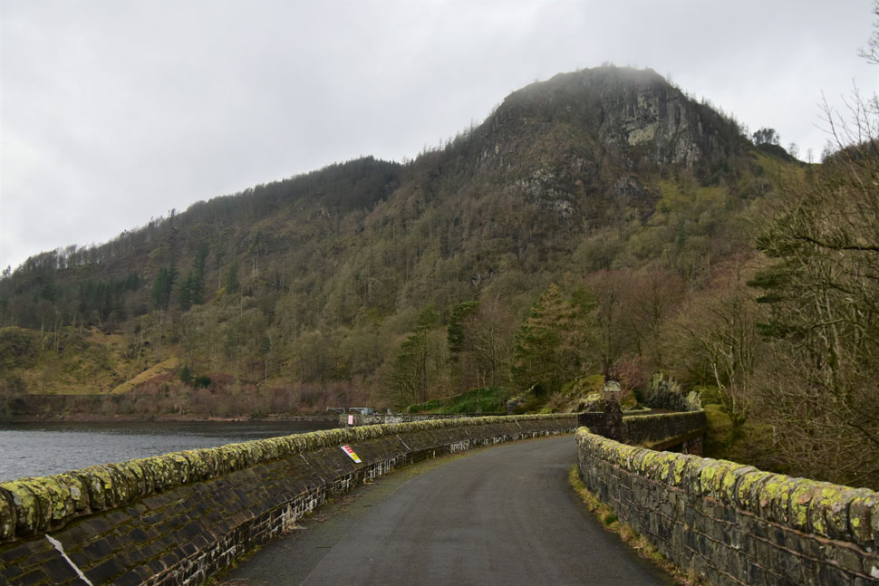
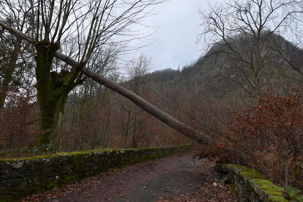
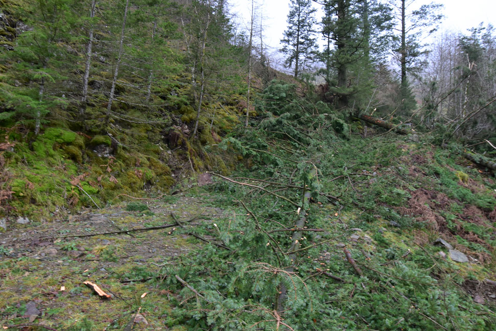
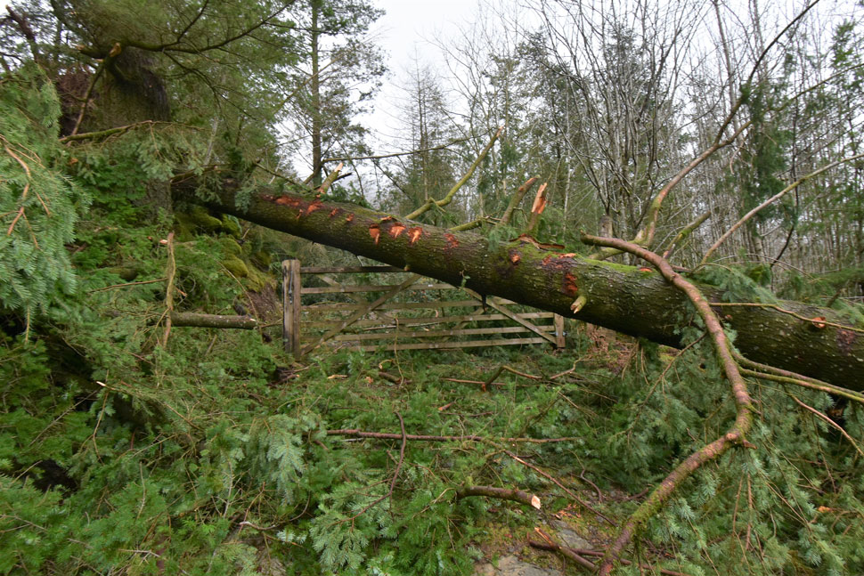
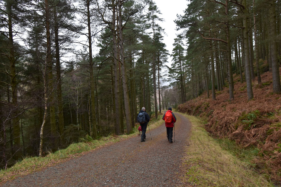
The plan was to leave one car at Turnip Corner, opposite the entrance to Bridge End Farm then pile into another car and drive around to Armboth to take in Fisher Crag and Raven Crag which didn't quite work out because authorities had closed the road and the permissive footpath on the west side of Thirlmere most probably due to fallen trees.

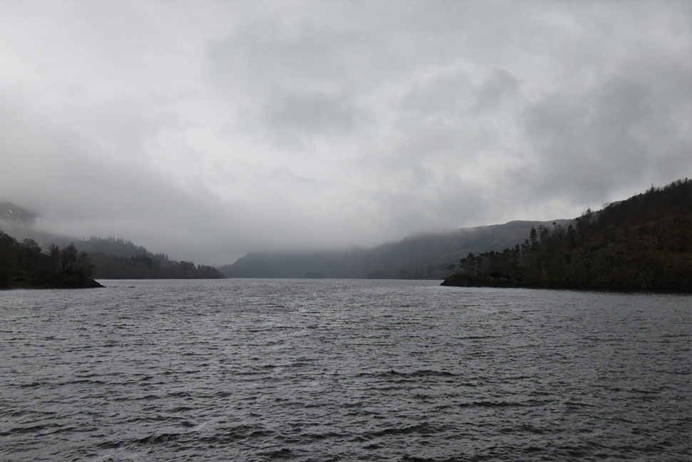
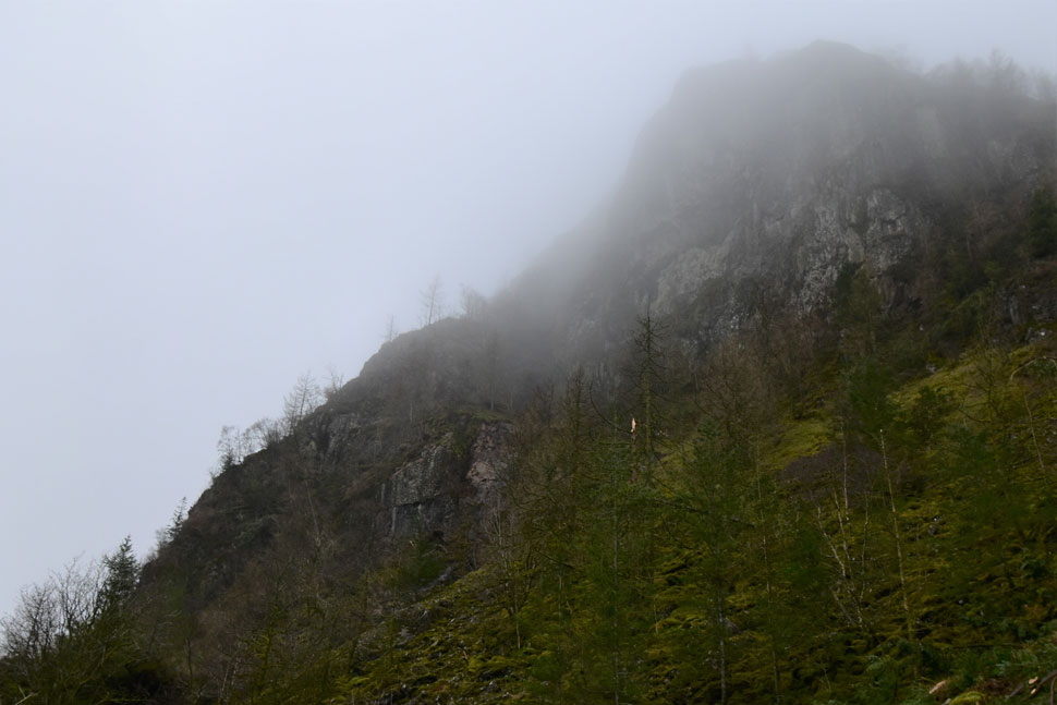
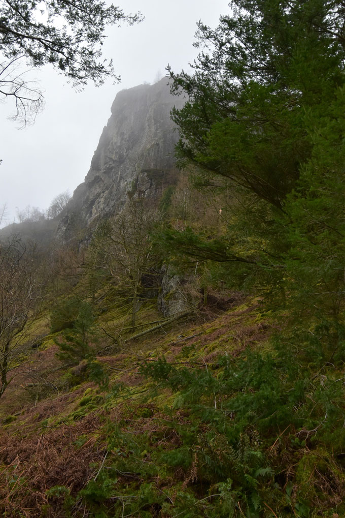
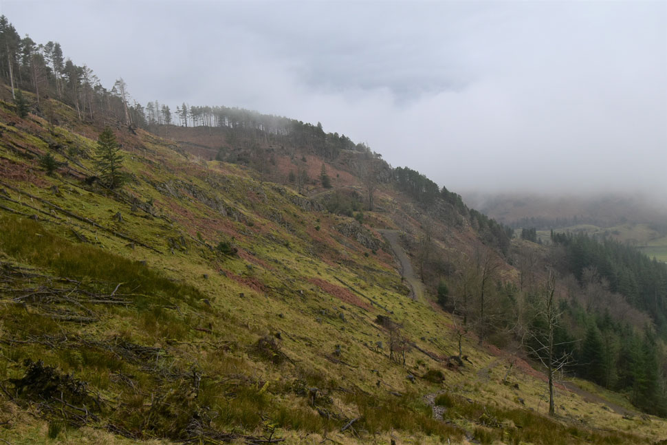
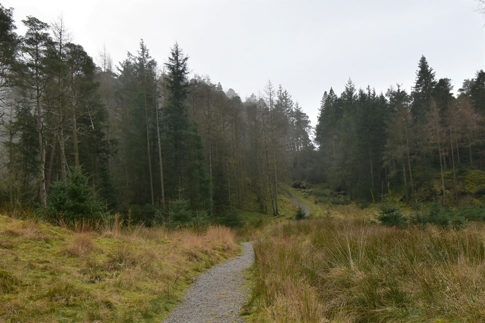
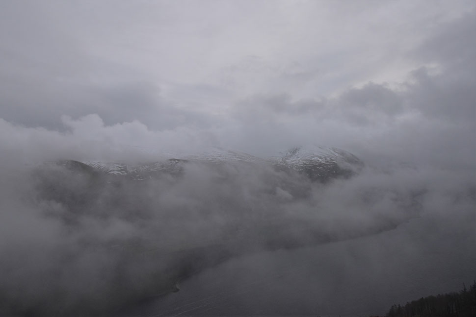
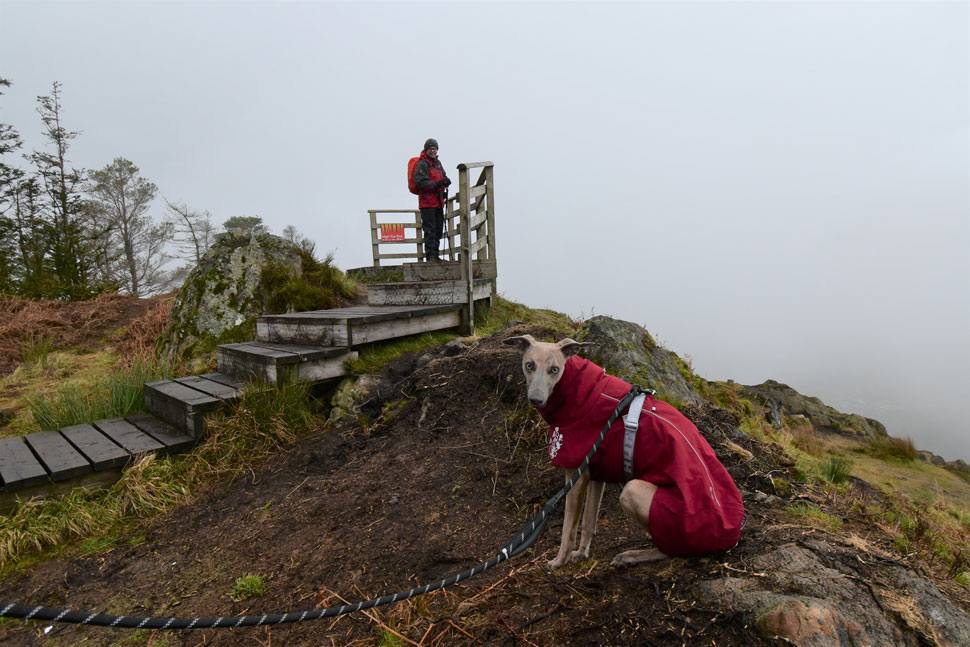
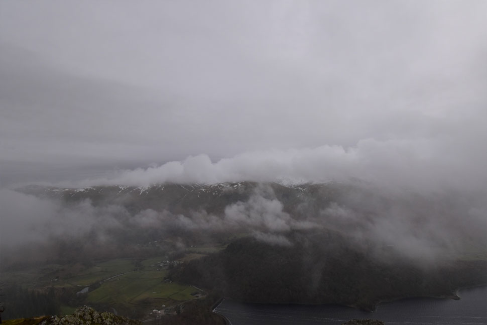
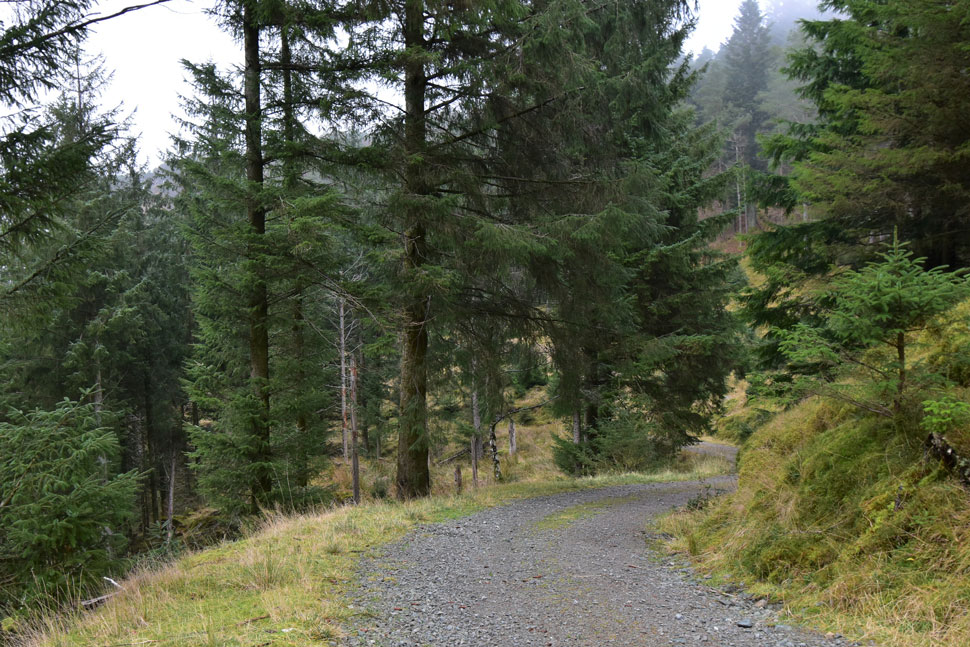
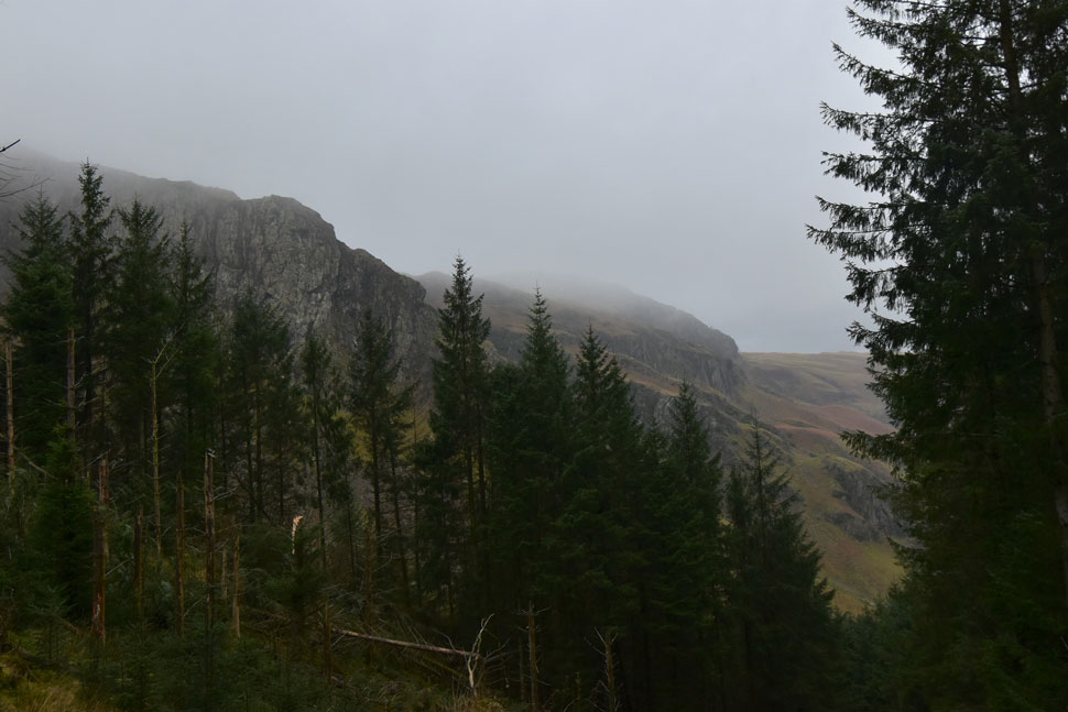
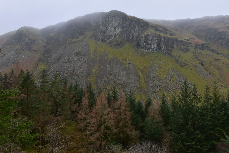
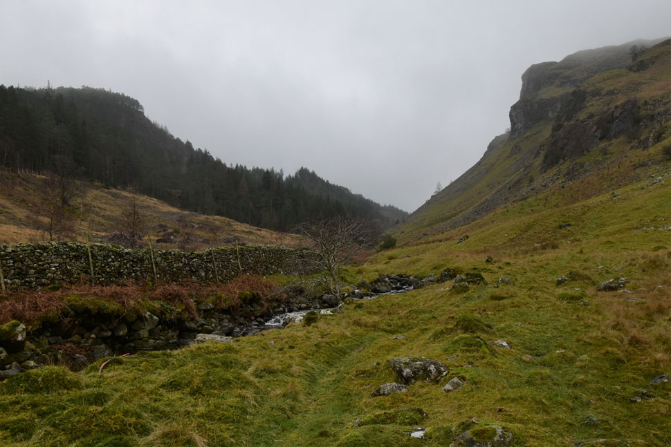
As I span the car around we set about planning a new walk and all agreed to head back to Turnip Corner from where we'd head up Raven Crag and perhaps do a circuit of High Rigg if the forecast permitted, sadly it started to rain as we descended the forestry path and after taking in the view over Shoulthwaite we decided to do a quick out and back while being battered by the rain.

 
Wainwright Guide Book Three
The Central Fells
The vertical face of the crag, now receiving the attention of expert rock-climbers, is a truly formidable object, standing out starkly from the dense surround of plantations
 

Overview
Ascent: 1,587 Feet - 997 Metres
Wainwrights: Raven Crag
Weather: Low Level Cloud & Light Rain, Freezing At Height. Highs of 4°C Lows of 3°C
Parking: Turnip Corner (Bridge End Farm)
Area: Central
Miles: 5.3
Walking With: David Hall, Rod Hepplewhite & Calva The Dog
Ordnance Survey: OL5
Time Taken: 3 Hours 5 Minutes
Route: Turnip Corner - Bridge End Farm - Thirlmere Dam - Raven Crag - Forestery Track to Shoulthwaite Beck - Shoulthwaite - Shoulthwaite Moss - Bridge End Farm - Turnip Corner
 

Parking Details and Map
Nearest Post Code: CA12 4TG
Grid Reference: NY 316 194


Map and Photo Gallery


Raven Crag from Thirlmere Dam 08:45am 3°C
We drove back to Turnip Corner, added our waterproofs and set out for Thirlmere Dam. The cloud was obscuring the fells to the east from Clough Head right through to Dollywagon Pike which in most cases the cloud was only feet above the treeline.

Thirlmere Reservoir from the Dam wall.
Aye that's about as good as it's going to get today.

Fallen tree, Dam wall.
The tree was actually a Scotts Pine which had sadly damaged the wall no thanks to Storm Arwen,

Cloud gathering over Raven Crag summit now.
Lets hope it's moved on by the time we get there.

Fallen trees, lower slopes Raven Crag.
Instead of heading direct we followed the forestry path towards the left before reaching the loop in the path where we found more damaged trees. In the foreground is just one branch from the fallen tree seen in the distance.

Negotiating the battle field.
Rod went onto say that the trees here on the fell side can't route the way they would for example in a forest meaning the trees that grow here are perceptible to high winds. This tree came down not before clattering the tree you see to the left striking it hard leaving bare bark on both trunks. It must have been like a battlefield the moment this came down, how sad eh.

The way through was just about passable but because we had Calva with us we carried him though the debris then put him down once at the other side of the gate.


Impressive views of Raven Crag from the Forestry Path.
 

Looking back towards Sippling Crag as we ascend towards the wooded col.
The last time we were all here you couldn't see Sippling Crag due to all the trees which have been cut down and re-planted sometime ago.

With the hard work behind us...
...we headed up through the woods towards the familiar wooden steps which will lead us towards Raven Crag summit.

Cloud dramatics from Raven Crag summit.
Here looking towards Brown Cove Crags with Raise and Stybarrow Dodd seen towards the left. It was a scene that changed minute by minute and we could have stood there all morning had it not been for the wind which caused the windchill to creep in.

Rod and Calva, Raven Crag summit.
Mind you Calva didn't mind as he was wearing this seasons thermal jacket. The boy is turning into a young man now having already walked alongside David this year on over 150 walks in Lakeland.

Here we take in the dramatic view.
Over Great How towards Watsons Dodd and Great Dodd.

Heading down the forestry track now.
We left Raven Crag and returned through the woodland passing Castle Crag Fort to our left.

Iron Crag and Goat Crag seen above the Shoulthwaite Valley.
Instead of planning where we were going next we were yabbering on like three old washer women.

Impressive Iron Crag.
 

Continuing down the forestry track.
By which time it had started to rain.

Shoulthwaite.
I spoke fondly of Shoulthwaite it being in my view one of Lakelands best hidden gems before David suggested why didn't we walk as far as the treeline up ahead. It might be raining but it was a cracking idea.

Raven Crag and The Ben from Smaithwaite.
The cloud lowered as the rain continued to fall with all the persistence of Lakeland rain. We crossed Shoulthwaite Gill by a slippery wooden footbridge and continued to follow the track passing Shoulthwaite Moss to our left. We left the track and passed through what once was Smaithwaite Farm and then onto Bridge End Farm before crossing a busy A591 and finally looking like drenched rats we arrived back at our cars.

We kit down whilst Calva looks on ready for his snooze on the way home while the three of us arrange a walk before the end of the year. David, Calva and Rod reverse out leaving me supping hot Vimto from my flask as the windows began to steam up as I took in the view towards where Helvellyn stands, now masked behind a wall of thick cloud and curtains of rain.


Back to top