Branstree, Selside Pike & The Old Corpse Road

2nd January 2022

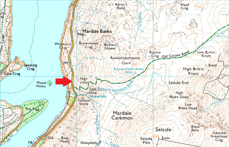
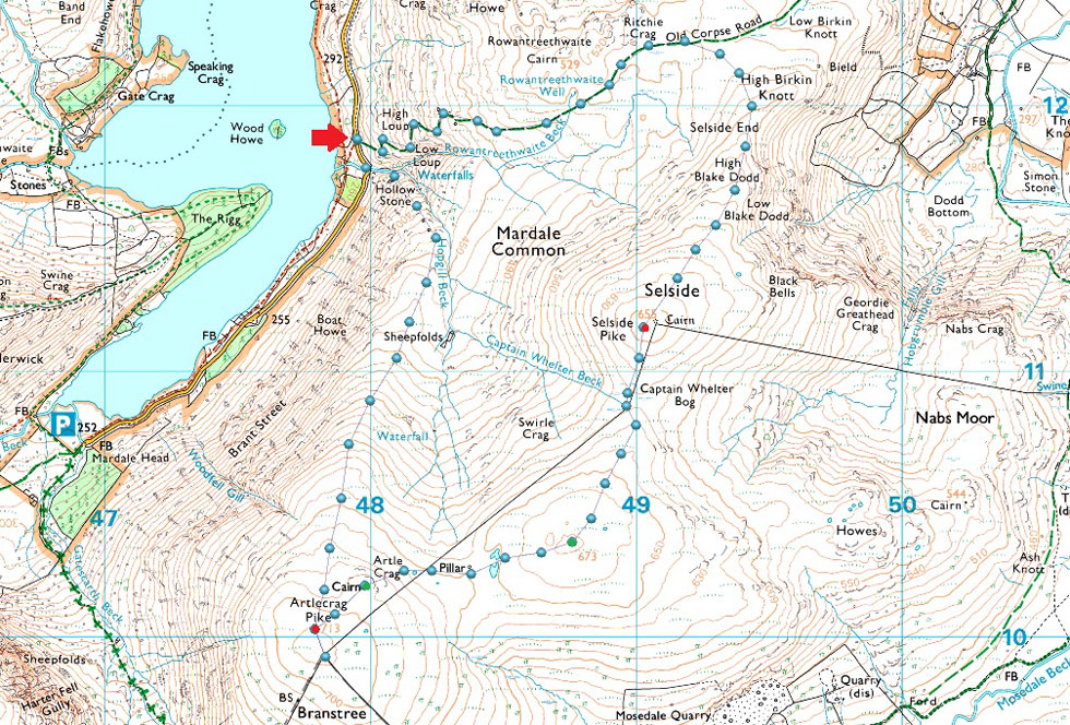
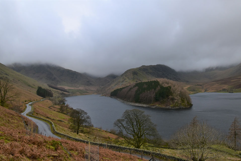
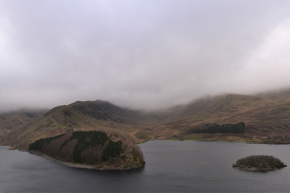
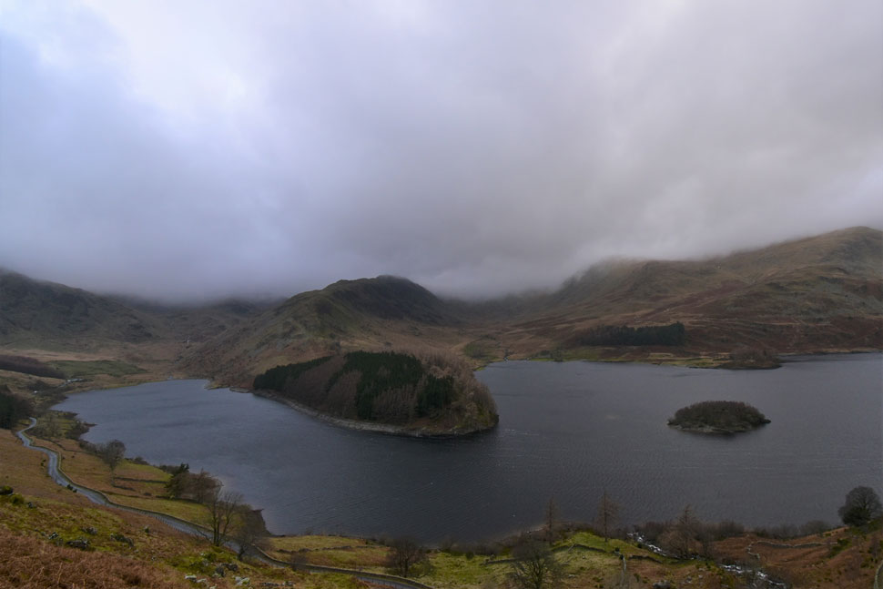
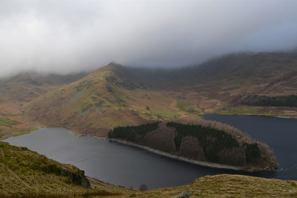
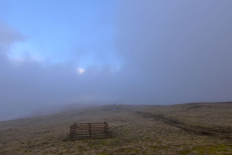
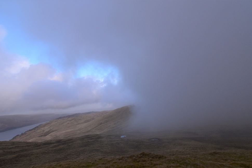
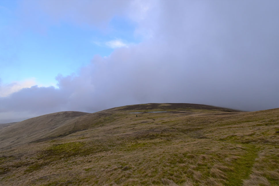
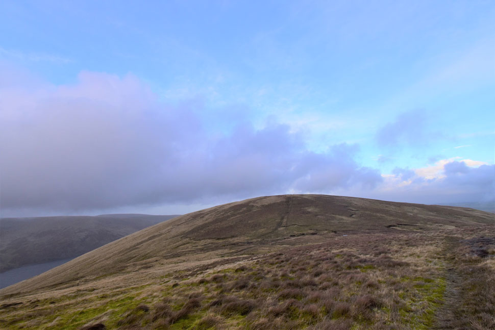
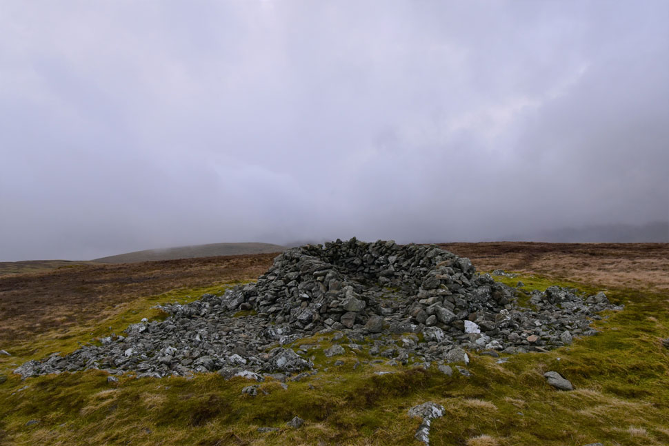
My main aim for 2022 is to focus on completing my Birketts but that's not to say I won't be lured by classic routes such as this one which ranks high in my all time favourite walks. Branstree, Selside Pike with a return via the old corpse road is one of those walks that which even in the worst of conditions kind'a walks itself.

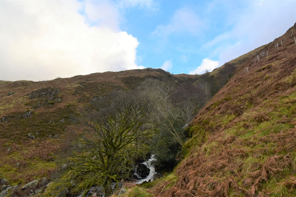
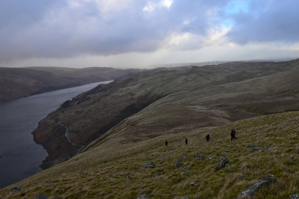
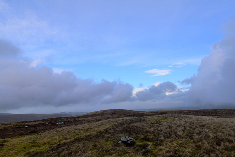
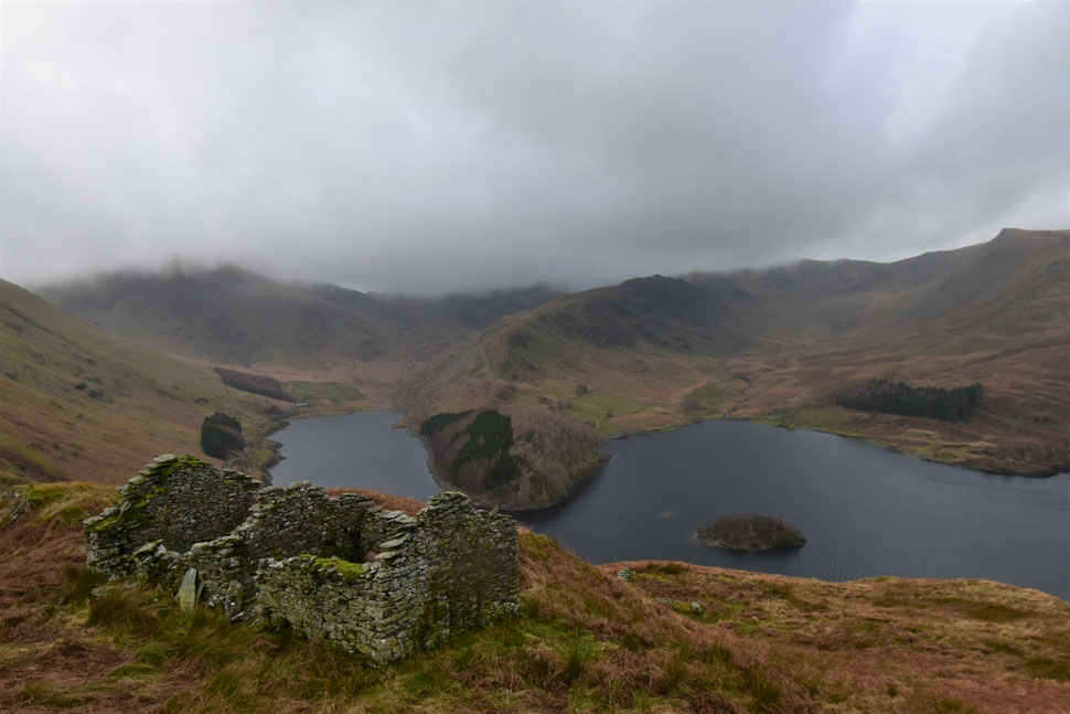
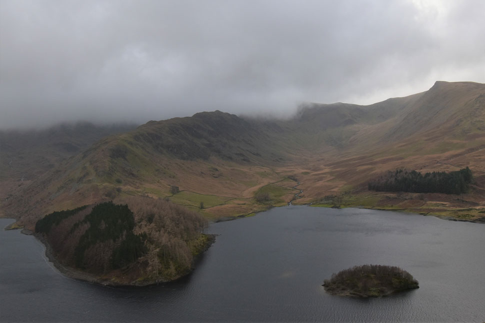
On the last two occasions that I've walked this route I've even been lucky enough to spot Deer in almost the same location as the previous year, there's something dreamy about watching Deer from half a mile away even though they knew I was there they just went about their own business like I wasn't. Add all the dramatics of Lakeland on a wild January day well, it put everything I love about walking in Lakeland into perspective.

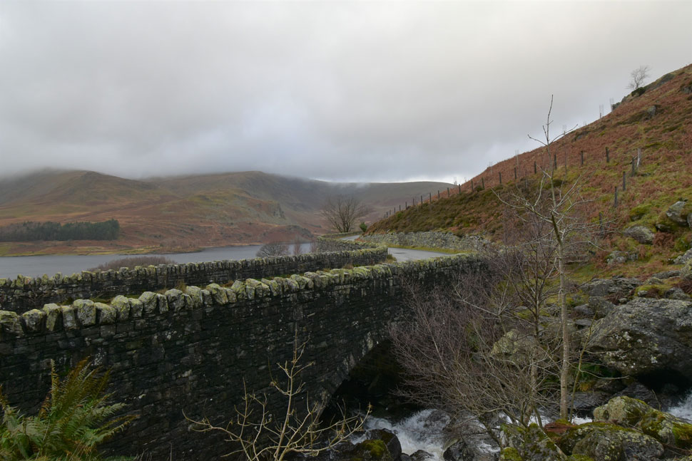
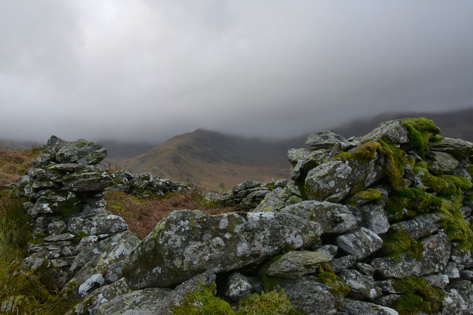
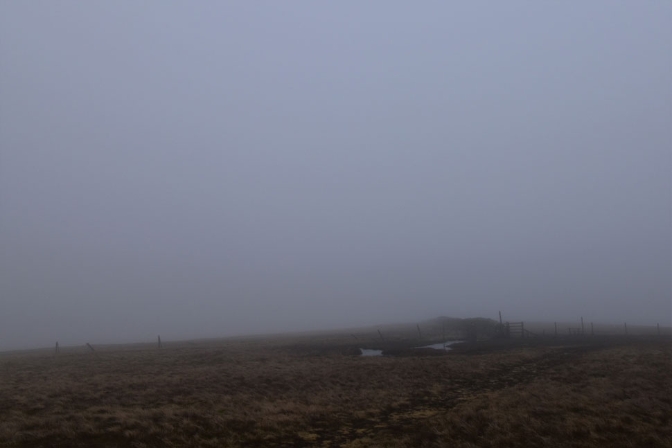
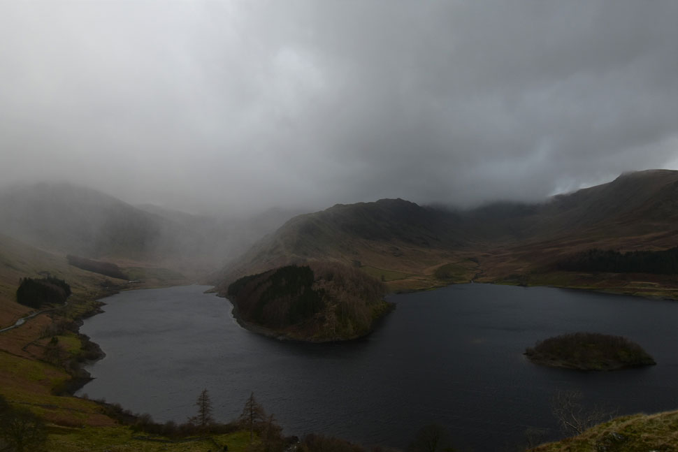
The forecast for my first walk of 2022 wasn't the best and I wouldn't have blamed anyone for sitting it out but I got tired of checking the forecast so I went back to basics and was rewarded with Lakeland at her bleakest. What more could I have asked for and how worse off would I have been had I sat this New Year belter out.

 
Wainwright Guide Book Two
The Far Eastern Fells

Here are dark crags, rarely visited waterfalls, a curious dry tarn-bed set amongst moraines and, above it, a perfect hanging valley, the two being connected by a formidable gulley.


Overview
Ascent: 1,725 Feet - 526 Metres
Wainwrights: 2, Branstree - Selside Pike
Weather: Overcast With Wind & Rain. Freezing Level Above The Summits. Highs of 9°C Lows of 8°C
Parking: Roadside Parking Close to Rowantreethwaite Beck
Area: Far Eastern
Miles: 6.3
Walking With: On My Own
Ordnance Survey: OL5
Time Taken: 2 Hours 50 Minutes
Route: Mardale - Rowantreethwaite Beck - Branstree North Ridge - Branstree - Artle Crag - Survey Pillar - High Howes - Captain Whelter Bog - Selside Pike - Selside End - Old Corpse Road - Rowantreethwaite Beck - Mardale
 

Parking Details and Map
Nearest Post Code: CA12 2RP
Grid Reference: NY 479 119
Notes: There is roadside parking with room to park around five cars close to the bridge over Rowantreethwaite Beck, if you have driven over the bridge you've gone too far, look out for Wood Howe Island where the parking is almost adjacent too, parking is free.


Map and Photo Gallery


Rowantreethwaite Beck, Mardale 11:30am 8°C

I left a very sunny Wigan later than normal to allow the cloud to lift and showers to pass keeping everything crossed that the forecasters were right that the afternoon would turn out drier with forecasted sunny spells, but given the downpour I'd just driven through I wasn't holding out much hope. In fact I was almost forced to revert to a low level plan B had the rain not stopped. I managed to grab the last parking space at the layby just around the corner from Rowantreethwaite Beck and kitted up as the wind howled through the valley.

White leads of water stretched from one end of the reservoir to the other and even though the beck was out of site I could hear its roar as it flowed furiously into Haweswater. Looking towards Mardale Head I could see that the car park wasn't just full, cars were parked along the lane like it was an August Bank holiday which I found odd given the forecast. Kitted up I locked my car and passed the gate for the Mardale side of the Corpse Road which I'll be returning by later then took in the view towards The Rigg and Mardale Head which despite its full car park, there wasn't a single soul in site.


Ascent alongside Rowantreethwaite Beck.
Pockets of blue sky looked promising but sadly lead to nothing as I began the steep ascent via the narrow footpath alongside Rowantreethwaite Beck.

It doesn't take long for the views to open up.
Here looking towards Mardale Head with Harter Fell, the top of Nan Bield Pass, Mardale III Bell and High Street all below cloud.

Despite the cloud.
This view of High Street's Rough Crag ridge and Riggindale never tires. Sadly Kidsty Pike over on the right was also beneath the cloud.

The Hollow Stone, Mardale.
The path rises steeply passing the Hollow Stone where I stopped to make adjustments. To add scale I could stand directly below the stone, there's even a stone seat for anyone comfortable with the laws of physics.

Mardale Head and Haweswater a little higher up the path.
Ascending with an almost false sense of security I was heating up so much I was looking forward to a little wind in my face. I think I should replace the word 'little' with the word 'gale' I was about to get my wish.

Rough Crag on High Street.
From one of two ruined peat huts atop Rowantreethwaite Beck.

The Rigg, The Rough Crag Ridge and Riggindale from Branstree North ridge.

With the ruined peat huts behind me I crossed over swollen ground and joined the base of the north ridge proper. A faint path continues along the Hawsewater flank of the fell side which I will only follow until the broadness of the ridge opens out.


Looking back towards a distant Brown Howe and Hare Shaw from Branstree North ridge.

I'm not sure what caused me to look back but when I did I spotted three Deer crossing Captain Whelter Beck below Selside Pike. As the wind howled and excess strapping flapped in the wind I was compelled to stand there until they disappeared from view. After a few moments I was hitting the ascent as the headwind grew stronger.

After veering further into the ridge from over a grassy crest this family suddenly came into view who over the wind either waved or nodded me a 'hi' I nodded back and continued my ascent towards a wall of cloud.


Branstree summit.
Looked peaceful, I even had the summit to myself where I guessed the wind speed to be around 30-40mph - I didn't hang around and feeling content that all the hard work was behind me I turned east and with the wind on my back, headed towards Artle Crag.

At times the cloud lifted.
And teased me with chinks of blue sky.

The reality.
That's more like it.

High Howes and Selside Pike.
I passed over Artle Crag and began the short descent towards the familiar fence line (seen left) It's just a grassy hill but I'm really fond of High Howes and each time I do this walk no matter the conditions I always include it.

Selside Pike from High Howes.
Little effort for such reward.

Selside Pike from High Howes.
From High Howes I could make out two people on the shoulder of Selside Pike before a group of five fell runners appeared who then descended before running alongside the fence towards Artle Crag.

Selside Pike summit.
The two walkers I'd seen from High Howes were actually a party of five with three young children the youngest being around 4 or 5. Conditions were worsening as the wind seemed to strengthen and with what looked like more rain on its way I couldn't but help spare a thought for those young kids.

Mardale Head from the ruined Peet huts, Old Corpse Road.

It started to rain quite heavily not long after I left Selside Pike and as I joined the Old Corpse Road not only was I walking into the wind but curtains of heavy rain too hence no photos. I picked up my pace and swapped my beanie for a baseball cap which shielded the rain along with my hood from my face, trouble was my ears were exposed and they quickly froze.

The rain eventually stopped and I was able to snap a couple of shots from the scenic peat huts but I didn't hang around because I could sense that more rain was on its way, I only hoped the rain held until I was back at the car.


Downpour, Mardale Head.

I left the ruined peat huts and began the short descent but I wasn't quick enough and was caught by this downpour which reached me seconds after taking this photo. I was drenched and hadn't bothered to add my waterproofs earlier meaning I was going to have to drive home in wet trousers.

Wet trousers were a small price to pay for such a grand walk even if I was at war with mother nature she did a pretty good job of blowing the Christmas cobwebs and making me feel alive again.


Back to top