A low level walk through Patterdale & Dovedale

8th January 2022

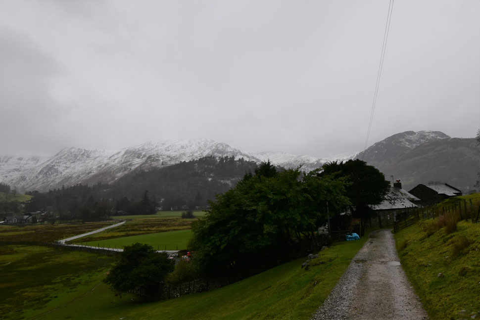
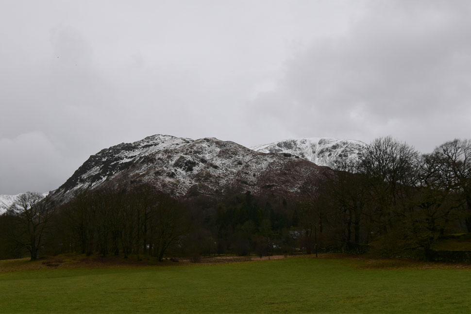
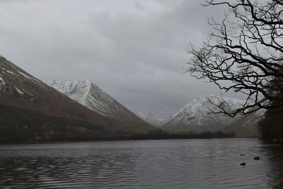
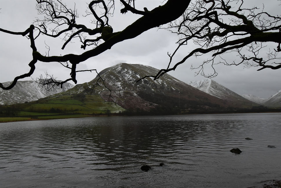
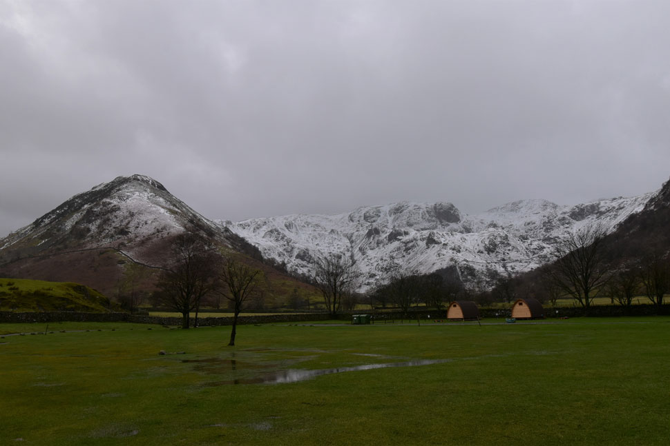
Frustratingly the best of the weather was reserved through the week only for a band of rain to return by weekend. We knew this when we planned the walk but decided to go ahead anyway. Rod had suggested we walk Mellbreak with a visit to Scale Force which David and I jumped at only for the forecast to worsen so we agreed that such a walk deserved a better forecast. One of David's new projects is to walk the valley's of Lakeland either as part of a high level walk or to simply visit a valley or valley's as per walk. When the forecast turned David suggested this walk had been on his radar anyway.

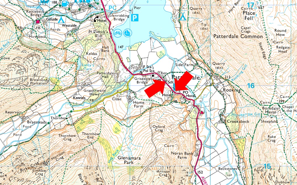
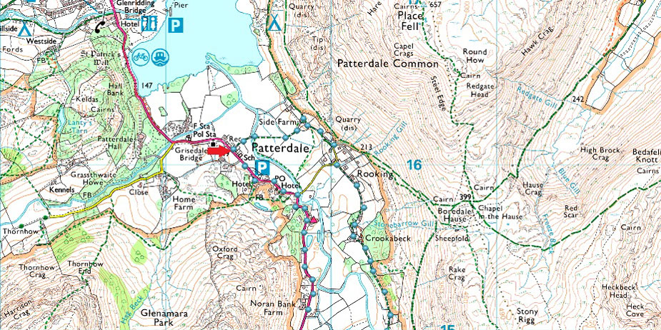
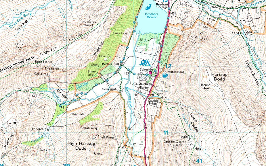
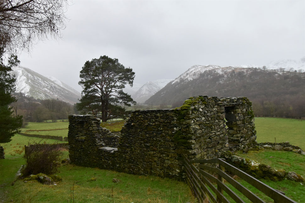
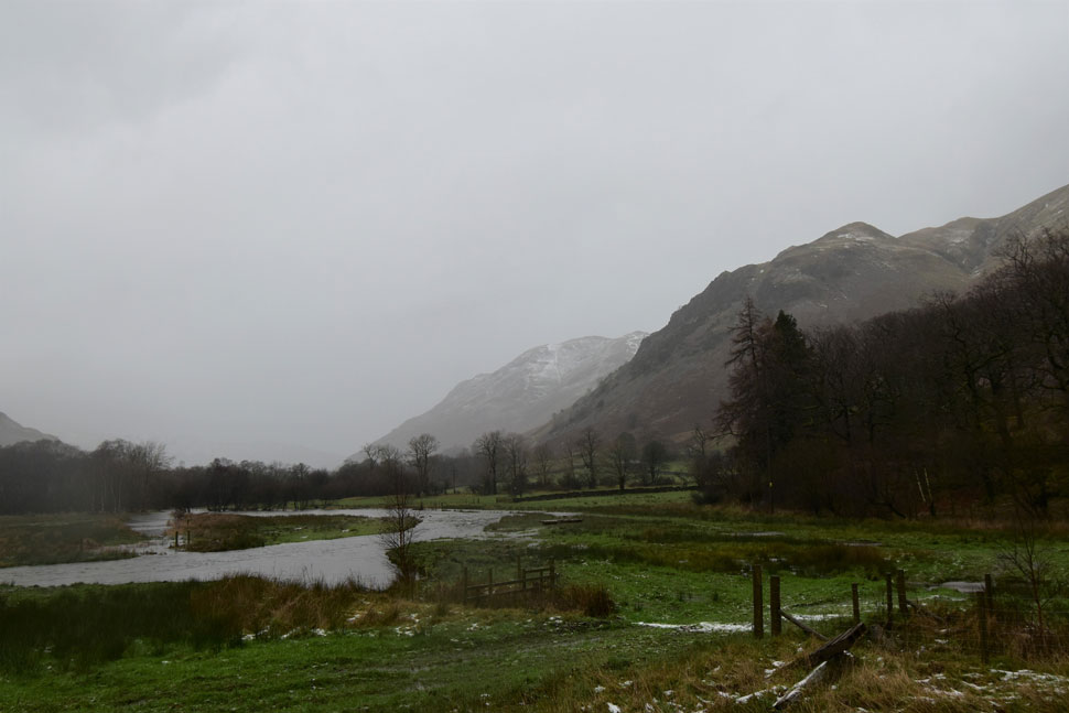
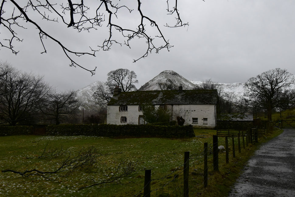
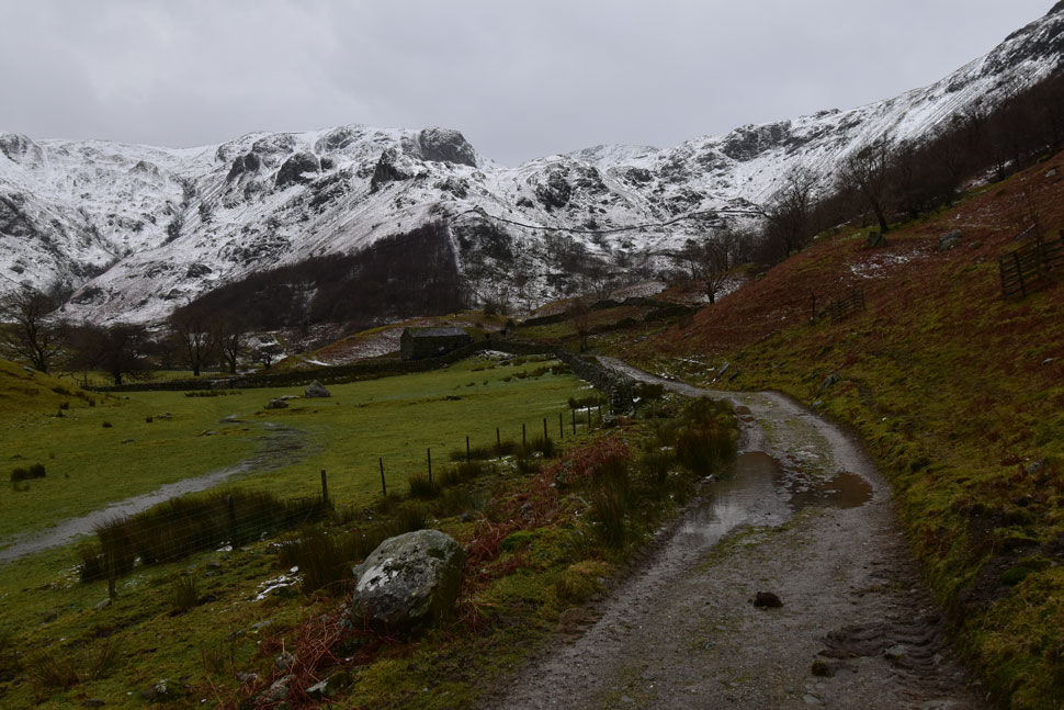
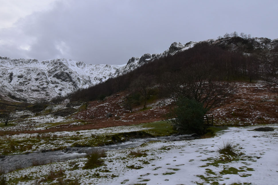
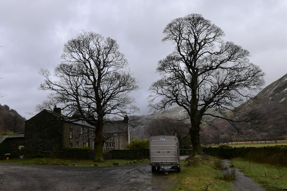
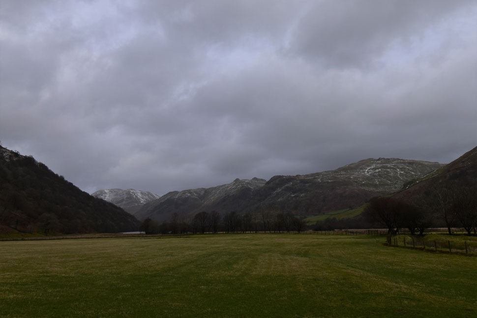
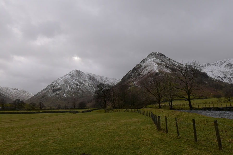
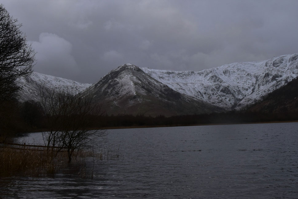
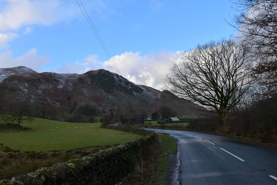
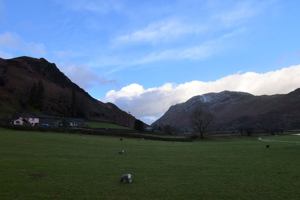
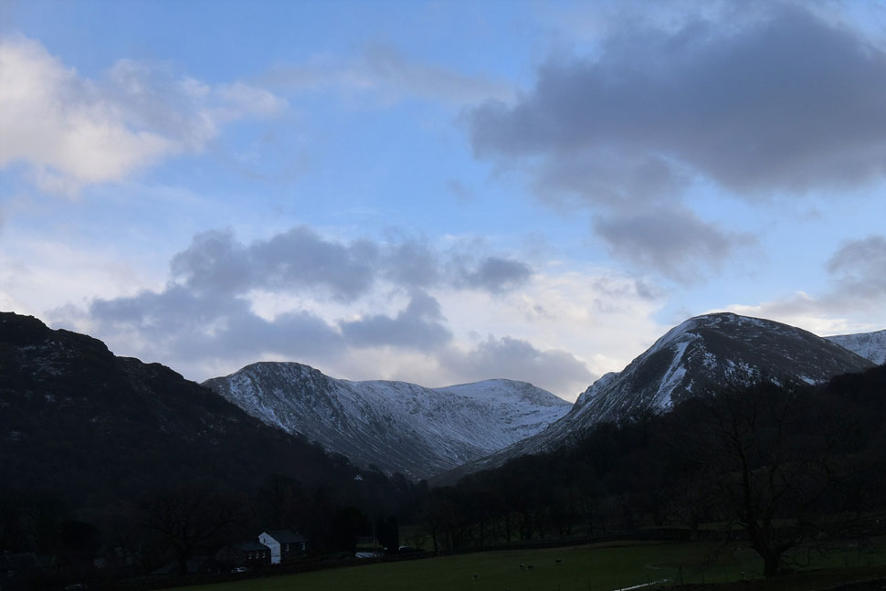
The walk starts in the heart of Patterdale from where we would head towards Hartsop via Crookabeck and Beckstones. From Hartsop we'd then head towards Cow Bridge taking in Brothers Water and Hartsop Hall before continuing into the Dovedale Valley. Had the forecast been better a visit to Dovedale Beck falls might have been on the cards but seeing as it had only just stopped raining we took in the views from the shores of Dovedale Beck instead.

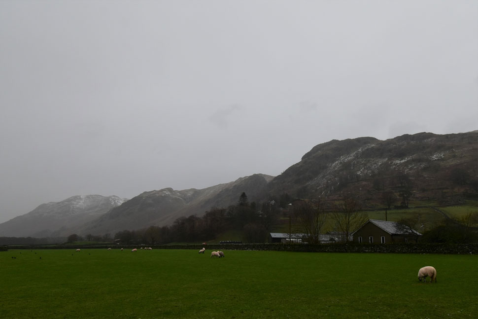
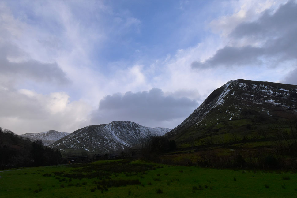
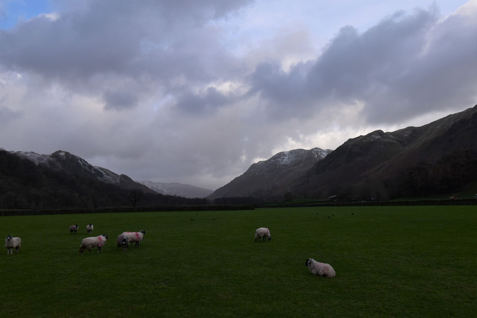
Turning heel we'd retrace our steps back to Hartsop Hall before heading for Hartsop this time using the footpath on the east shore of Brothers Water. We still had some ground to cover and returned to Patterdale via Low Wood, the A592 and even breached the Deepdale valley for a few moments before arriving back in Patterdale 4 hours later feeling slightly damp but content that we'd made the best of an otherwise, very wet day.

 
Wainwright Guide Book One
The Eastern Fells

Dovedale

Here, in small compass is a tangle of rough country, a maze of steep cliffs gloomy hollows and curious foothills gnarled like the knuckles of a clenched fist, with the charming valley of Dovedale below and the main crag frowning down over all.


Overview
Ascent: 865 Feet - 264 Metres
Wainwrights: N/A
Weather: Heavy Rain To Start Turning Overcast, Feeling Mild With Light Winds. Highs of 4°C Lows of 6°C
Parking: Patterdale Primary School, Patterdale Village
Area: Eastern
Miles: 8.6
Walking With: David Hall, Rod Hepplewhite & Calva The Dog
Ordnance Survey: OL5
Time Taken: 4 Hours 10 Minutes
Route: Patterdale - Rooking - Crookabeck - Beckstones - Hartsop - Cow Bridge - Brothers Water - Deepdale - Sykeside Campsite - Brothers Water East Shore Path - Hartsop - Cow Bridge - Low Wood - A592 - Deepdale Bridge - Greenbank Farm - Patterdale
 

Parking Details and Map
Nearest Post Code: CA11 0NW
Grid Reference: White Lion Hotel - NY 395 315 - Patterdale Primary School NY 394 516
Notes: Patterdale alongside Glenriddging acts as a hub for the eastern and far eastern fells yet unlike Glenridding Patterdale doesn't have a centralised car park. With this said parking in Patterdale, especially during the height of Summer can be a problem with only two main sites to leave your car. The first is very popular with fell walkers which is just opposite the White Lion Hotel, here you will find a short layby with room for up to five parked cars. Parking is free. The second place to park is found just outside Patterdale Primary School where you can park on the kerb right outside the School, here you will find spaces for around three to four well parked cars. Parking is free.


Map and Photo Gallery


Sheffield Pike and Birkhouse Moor from Side Farm 10:10am 4°C

We had arranged to meet at the later time of 10am if only to allow the worst of the rain to pass, it hadn't. Given the forecast I drove to Patterdale wearing my walking boots and by the time I arrived Rod was already there and using his tailgate to shield from the rain. Conveniently I'd left my waterproof trousers on the passenger seat so after a quick hi to Rod I sat back in the drivers seat and slid on my over trousers which was more difficult than it looked! David arrived and after a quick 'morning' he too returned to his car to kit up.

There was only so much kit I could add whilst slummed in the drivers seat and inevitably I had to get out and continue my kit up pressing myself as far into the boot as I could, the tailgate worked a treat until it was time to close when a wall of rain came gushing down almost soaking my boots, thankfully I was quick and escaped the worst. Rod lightened the mood supplying us with mince pies before we left which we ate under the comfort of our tailgates. I performed one final pat down before cars were locked and hoods battened.


Arnison Crag and Birks from Side Farm.
The rain did stop from time to time allowing the views to open up over Patterdale towards Arnison Crag and Birks both of which had received a coating of wet snow overnight.

Hartsop Dodd, Caudale Moor, High Hartsop Dodd and Hartsop above How from Dubhow.
The rain continued to fall as we passed through Crookabeck then Beckstones easing off slightly as we reached Dubhow.

Looking back on Goldrill Beck, Dubhow Crag and Place Fell as we near Hartsop.

From Dubhow we continued towards Angletarn Beck which was heard long before it was seen. It was one of those moments when it had stopped raining and we spent a few silent seconds watching the white of the water take over the hill side.

We crossed the footbridge over Angletarn Beck then joined the lower track towards Hartsop which was partially flooded but that didn't stop a white van coming towards us at warp factor 9 only slowing down seconds before he reached us. We then took in the view over the newly diverted Goldrill Beck which has been rechannelled to flow over a natural flood plain between Hartsop and Patterdale. The rechannel should alleviate the risk of flooding to local farms, the A592 and ease the flow before Goldrill Beck flows into Ullswater.

Just in case you were wondering Goldrill Beck used to flow alongside the A592 between Hartsop and Patterdale, its view obscured from the road by a high dry stone wall.


Place Fell, Dubhow Crag (Angletarn Pikes) and Lingy Crag from Hartsop.
The rain was back with a vengeance as we skirted past Hartsop and joined the A592 at the Hartsop junction from where we turned right towards Cow Bridge and Brothers Water.

Caudale Moor, St Raven's Edge and Middle Dodd from Brothers Water.

Calva played with any lingering snow that he'd sniffed out along the pavement before we crossed the A592 and Cow Bridge thereafter taking note how deserted the car park looked.

We passed through the gate and agreed to make a short diversion to the shores of Brothers Water where even on a damp day like today the views were still unbeatable.


Gray Crag, Hartsop Dodd and Caudale Moor from Brothers Water.
A group of day trippers were getting ready to leave as we arrived and 'mornings' were shared as we passed. I'm really fond of this view from Brothers Water, later we'll return to Cow Bridge via the footpath on the opposite side of the lake.

Middle Dodd, and High Hartsop Dodd seen as we approach Hartsop Hall.
If we were measuring how hard the rain was falling out of 10 we were probably at a 7 as we passed through the grounds of Hartsop Hall.

Dove Crag from Dovedale.
The rain meter rose to 10 as we made our way into Dovedale where on some occasions the footpath was only just passable due to flooding. The rain let off as we neared the old barn seen up ahead where we were forced to detour after a herd of cattle had trampled the footpath into a quagmire.

Stand Crags, Dovedale.

It had stopped raining completely by the time we reached the footbridge over Dovedale Beck where for the first time in hours we could put our hoods down. On a personal level that felt quite liberating and well timed even given that our hoods had been shielding us from the elements for the last two and a bit hours.

Calva decided it was a good idea to run around in circles at full pelt trouble was Calva's lead was still attached to David's waist which meant David had to go with him. If there's one thing I've learned about Whippets since meeting Calva it's that Whippets can cover vast distances with just a few leaps - I think David needed a quick sit down after Calva had finished!


Back at Hartsop Hall.

We returned to Hartsop Hall hoods still down whilst wishing for glimpses of blue sky to poke through, those wishes would get answers but not just yet. The trampled path was diverted by means of a hilly mound where for the first time today we had to put our calves into use. We dipped between two more mounds and avoided the quagmire and even managed to swill our muddied boots in the flooded track.

From Hartsop Hall we turn right towards Sykeside Campsite.


Taking in the view...
...as we left Hartsop Hall towards Sykeside Campsite. That's Brock Crags, Angletarn Pikes and Place Fell but I'm guessing you already knew that.

Middle Dodd and High Hartsop Dodd.
Seen shortly after passing the footbridge over a swollen Kirkstone Beck.

High Hartsop Dodd, Dove Crag and Dovedale from Sykeside Campsite.
Understandably the campsite is closed from the end of November until the end of January. Oddly as we passed through the campsite we were met by a strong icy blast for a few moments no doubt channelling its way down the valley from the top of Kirkstone Pass.

High Hartsop Dodd and Dovedale from Brothers Water.
Looking very wintery indeed.

The forecasted sunny spells are beginning to peep through.
Seen here as we pass Harstop once again with views over towards The Knott, Gray Crag and Hartsop Dodd.

Arnison Crag, Place Fell and Dubhow Crag.
Seen as we make our way to Cow Bridge from Hartsop for the second time today...Sadly Calva couldn't play with the snow as the rain had melted it all away.

Arnison Crag from the A592
We decided to have lunch at Cow Bridge before packing up and taking the wooded footpath through Low Wood before joining the A592. We could walk back along the A592 until we reached Patterdale but decided to turn left after crossing Deepdale Bridge from where we'd pass Greenbank Farm whilst soaking up the last mile of the walk.

Arnison Crag and Place Fell.
The forecast had kept most off the fells finding both the car parks at Cow Bridge and Deepdale Bridge almost deserted. This mornings rain was now a distant memory as we left the A592 and walked up the lane ever so slightly into the Deepdale valley. Soon though we will turn right and pass the cottages before heading through Greenbank Farm seen in the centre of the photo.


Back in Patterdale.

We were treated to a single streak of sunshine as we passed through Greenbank Farm and I stared at it for as long as I could before it was overshadowed by more cloud. We joined the A592 again and walked the last half mile back to Patterdale under light that made it feel much later than it actually was.

Despite the later hour remnants of blue sky where starting to appear as we began our kit down at the rear of our cars. The day had been milder than forecasted and for the best part our waterproofs had done their jobs but there was no escaping damp mid layers trapped between body heat and the dampness of the day. I poured myself a hot vimto as we chatted and organised our next walk, maybe hopefully it'll be Mellbreak but you never know what Lakeland will bring in the middle of January.


Back to top