|
High Spy to Cat Bells via Nitting Haws |
 |
 |
12th March 2022 |
 |
|
It was back to reality after last weeks glorious sunshine and by Wednesday Saturdays forecast looked dry and bright, by Friday the brightness had been replaced by rain which would last through the morning turning brighter by midday.
I emailed David and Rod this route quite simply because I'd never ascended High Spy via Nitting Haws and if I'm brutally honest, the walk deserved a better forecast than what we were dealt.
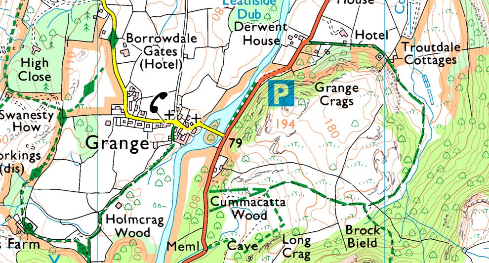
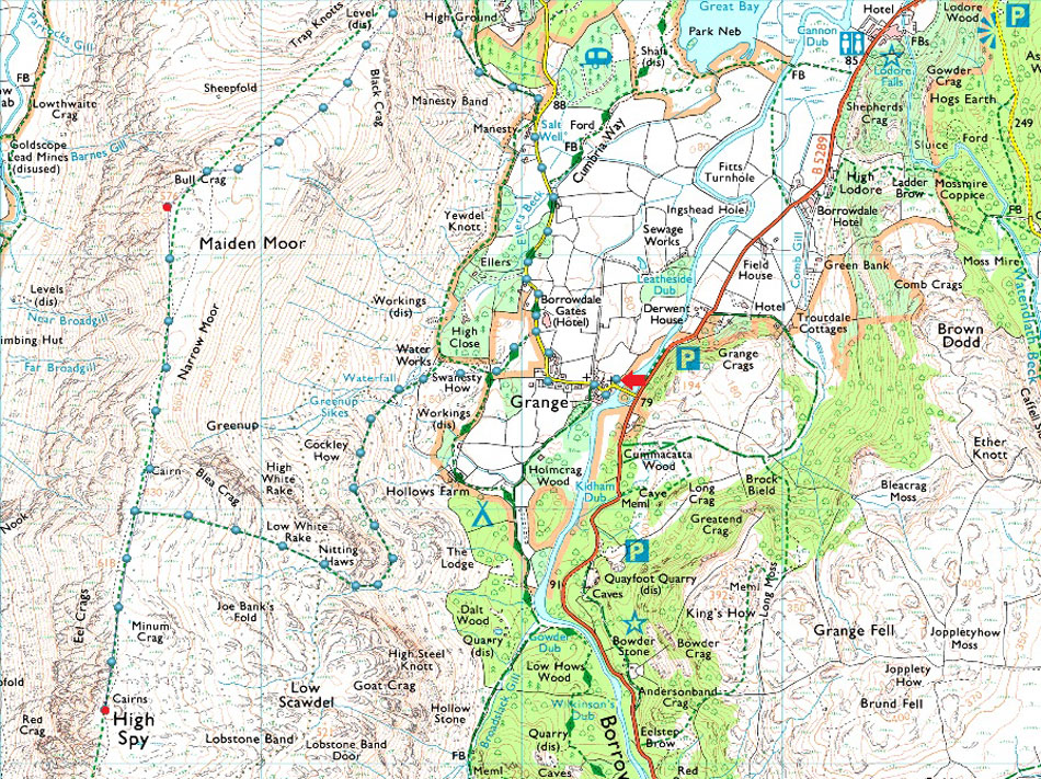
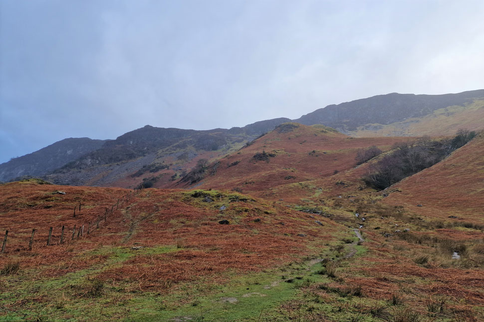
The walk starts from the village of Grange before heading foothills of Nitting Haws in Swanesty How and the devilishly steep ascent on Cockley How from where the Drove Road is gained before the final pull up onto Nitting Haws where our view opened out into the amphitheatre below Minum Crag from where the High Spy ridge can be gained proper. We couldn't recommend this route enough so much so I will return here in the next few weeks to explore the route again minus the deluge we suffered this morning. |
|
| Wainwright Guide Book Six |
 |
| The North Western Fells |
| From the sheep fold the drove road maybe used instead, this avoids the steepness. |
 |
|
|
|
|
| |
|
Overview |
|
|
| Ascent: |
2,412 Feet - 735 Metres |
| Wainwrights: |
3, High Spy - Maiden Moor - Cat Bells |
| Weather: |
Rain Throughout With Some Bright Spells. Chilly Winds Across The Summits Highs of 6°C Lows of 3°C |
| Parking: |
Parking Spaces, Grange Methodist Church |
| Area: |
North Western |
| Miles: |
7 |
| Walking With: |
David Hall, Rod Hepplewhite & Calva The Dog |
| Ordnance Survey: |
OL4 |
| Time Taken: |
Hours Minutes |
| Route: |
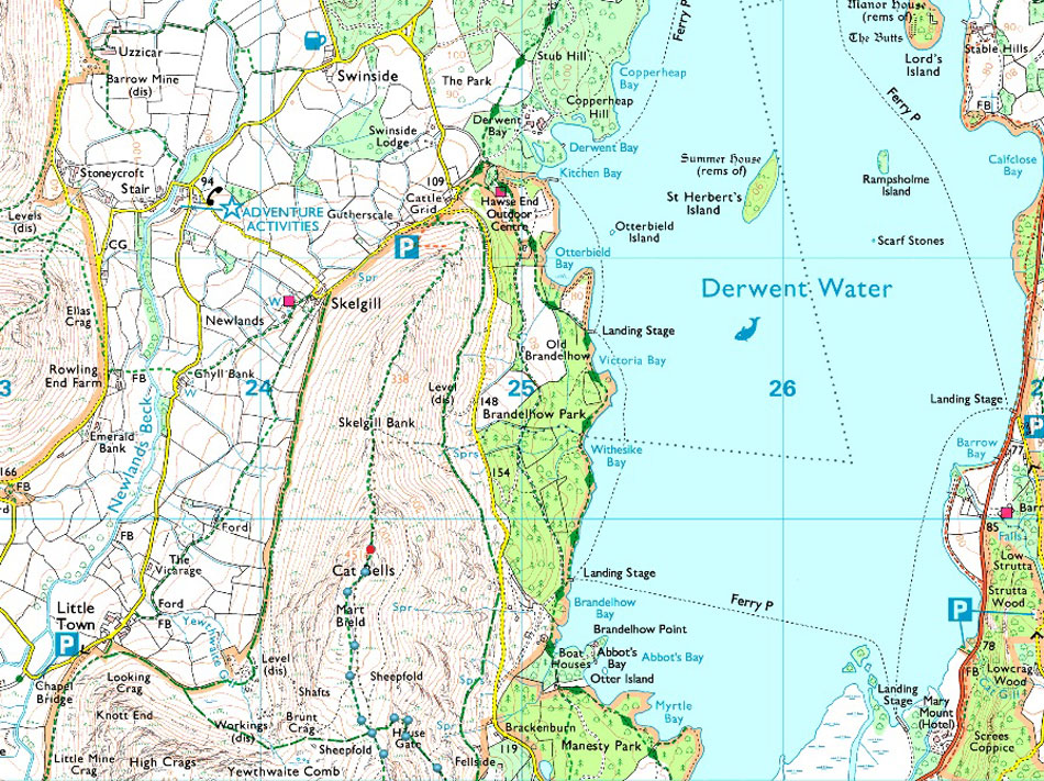
Grange - Swanesty How - Nitting Haws - Drove Path - High Spy - Narrow Moor - Maiden Moor - Hause Gate - Cat Bells - Hause Gate - Manesty - Grange |
|
| |
|
Parking Details and Map |
|
|
| Nearest Post Code: |
CA12 5XA |
| Grid Reference: |
NY 253 417 |
| Notes: |
A small car park can be found on right directly after crossing Grange Bridge next to Grange Methodist Church, due to the car park being rather small these spaces can fill up quickly especially during the Summer months, there is an honesty box on the wall of the Church. |
|
| |
|
Map and Photo Gallery |
|
|
  |
| |
| |
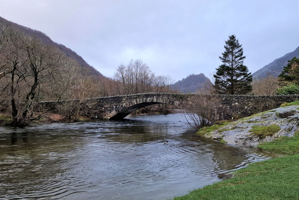 |
| Grange Bridge over the River Derwent 08:00am 3°C |
| It had rained heavily through the night but remained dry for the duration of my north-bound journey until I reached junction 39 on the M6 where my windscreen was met with light rain followed by a more prolonged downfall, it was to be expected I guess. We had arranged to meet at the parking spaces at Grange Methodist Church for 08:15am where I arrived first by which time it had stopped raining. David and Calva arrived next soon followed by Rod who arrived bob on 08:15am. It was a cold morning and I shivered whilst talking to David and Rod where we decided even though it had stopped raining for now we kitted up for the deluge that awaited us.
Calva was eager to get underway and was trying his best to escape David's car by any means even if it meant squeezing through the gap in the window! Right on queue by the time we were ready to leave it started to rain again first lightly then heavy enough for us to pull our hoods up. As we watched the curtains of rain sweep across the valley I suggested that we do the walk in reverse and attack Cat Bells first if only to allow the rain to pass but we agreed it didn't matter which route we took, we were still going to take a soaking. |
 |
| Goat Crag (left) and Nitting Haws (right) |
| For some very strange reason Manesty Lane was littered with dead frogs and I'm not talking the odd one but dozens of them which wasn't the best sight to see just after your Cornflakes. |
 |
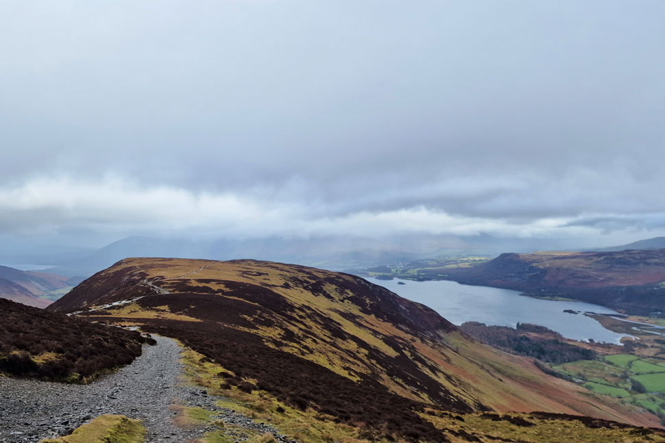
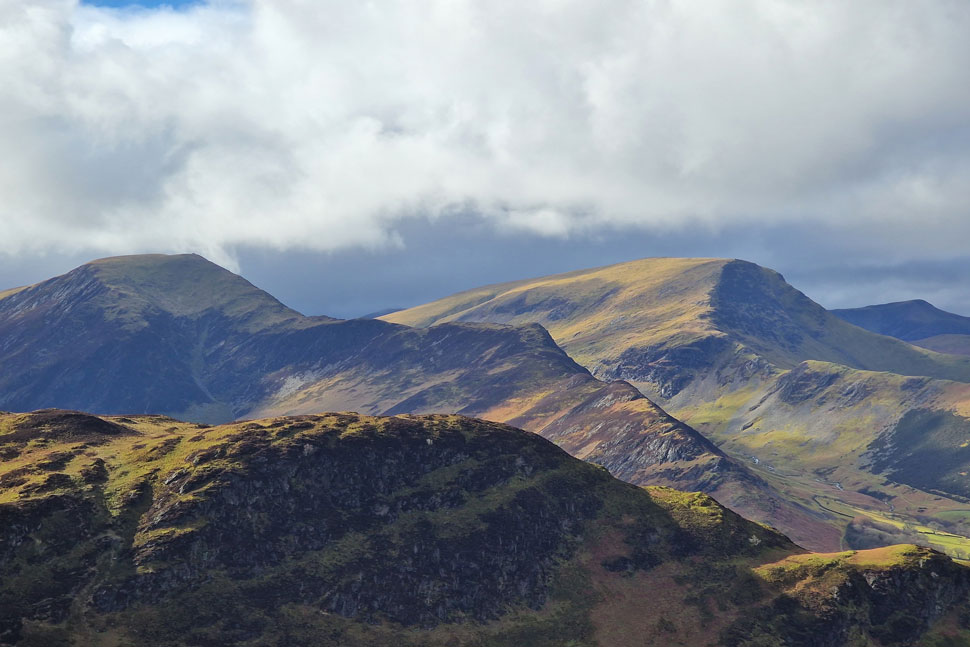
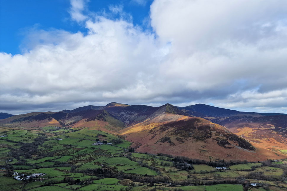
| Cockley How, Goat Crag, Nitting Haws and Blea Crag seen from Swanesty How. |
| The rain fell on and off but it was just best if we kept our hoods up anyway. We passed through the gate opposite Borrowdale Gates Hotel sign posted Peace How and followed the footpath through the pasture then over Swanesty How before continuing along the footpath rising steeply towards the right alongside Greenup Sikes (water fall) before steering left for the ascent of Cockley How (foreground) |
 |
| Swanesty How from the top of the water falls. |
| With a murky High Seat and Bleaberry Fell seen in the distance. |
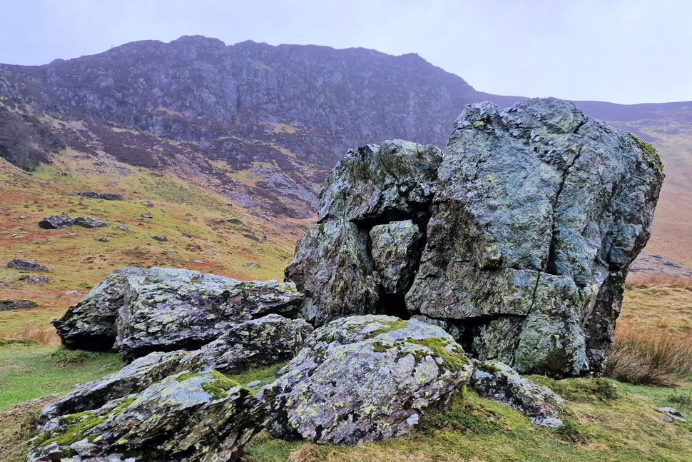 |
| Blea Crag from the top of Cockley How. |
| We left the water fall behind and continued steeply towards the top of Cockley How where we found this amazing cluster of boulders. From here we head left and pick up the Drove Road which avoids the craggy and steep Low White Rake and High White Rake options. |
 |
| Looking back on Cockley How and a distant Derwent Water from the Drove Road. |
| The rain continued to fall and with more height gained the wind started to pick up too, not the best combination but spirits remained high especially during the time I took Calva off David and let him lead us up the Drove Road, |
 |
| Looking back on Nitting Haws (centre) and Goat Crag (right) |
| The rain continued to pour to the point it was no longer feasible to take photos at which point I started to worry about the condensation building up in my mobile phone water proof case. David and I shouldered Nitting Haws and continued up the fell side whilst Rod doubled back to its summit, By now we were taking a right royal soaking and poor Calva at times needed a little encouragement to continue on.
We spotted three walkers to our right on top of Blea Crag summit whilst to our left Minum Crag appeared - both great summits in their own rights, both should have been explored but sadly, conditions wouldn't allow. |
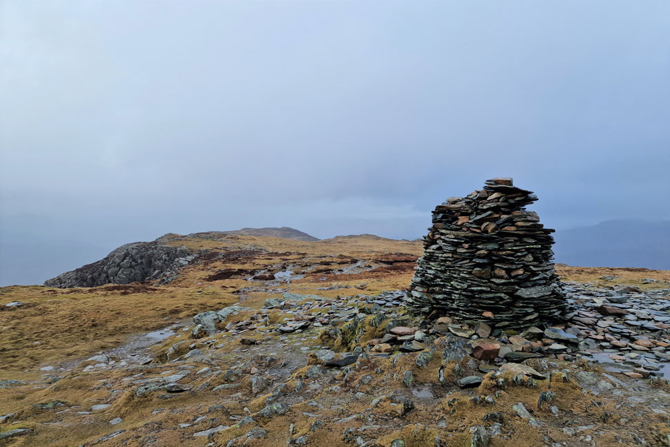 |
| High Spy summit cairn. |
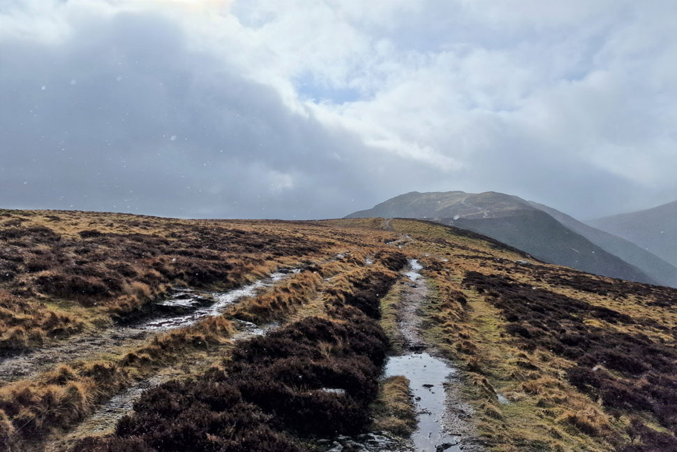
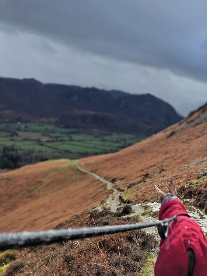
| From Nitting Haws summit there was still 750ft of ascent to cover before the ridge is met proper. It was here spirits pick up because right over our shoulders the sun broke through on more than one occasion, it's amazing what a little sunlight can do. Water poured down the fell side and the ridge was gained in a howling wind as we made our way towards the summit cairn. I peered right over the Newlands Valley towards Dale Head and Hindscarth but spotted nothing but grey cloud and murk.
The wind lashed at our faces the only let up knowing that it would be on our backs as we made our way across the ridge towards Maiden Moor. With the cairn reached I took just the one photo and so too did David and Rod. Calva let out a whimper which was the sign we needed to keep moving. Time spent at High Spy summit, less than 30 seconds. |
 |
| Maiden Moor, Derwent Water and Walla Crag from Narrow Moor. |
| We passed the three walkers who we had previously seen on Blea Crag and one of them chipped up "what are doing" I laughed and we continued flanking Blea Crag to our right before making our way towards Narrow Moor and Maiden Moor thereafter where surprisingly, it stopped raining for a few minutes. |
 |
| Looking back on High Spy from Narrow Moor. |
| It didn't take long for the rain to return but at least now the sun is trying to come out. |
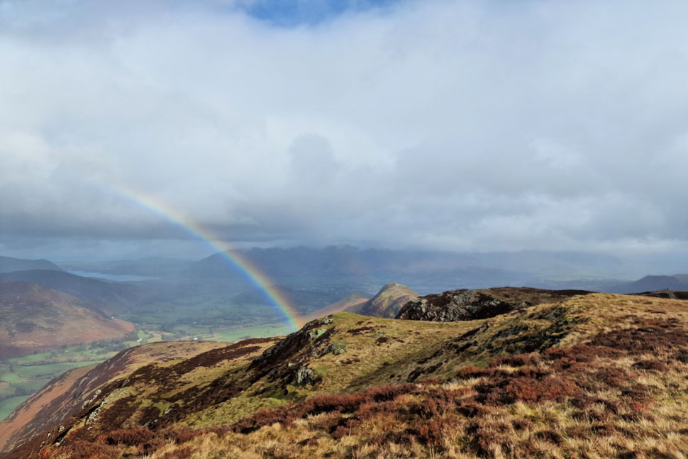 |
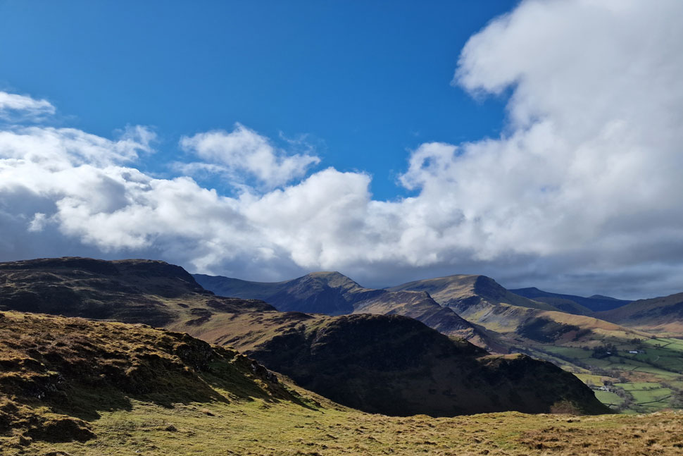
| And as if by magic... |
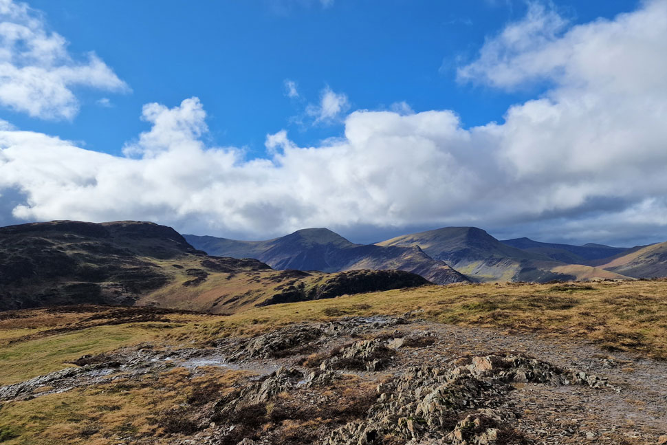
| ...a rainbow appeared and the sun came out the moment we reached Maiden Moor summit. That's Cat Bells in the centre of the photo with Skiddaw still below cloud in the distance. |
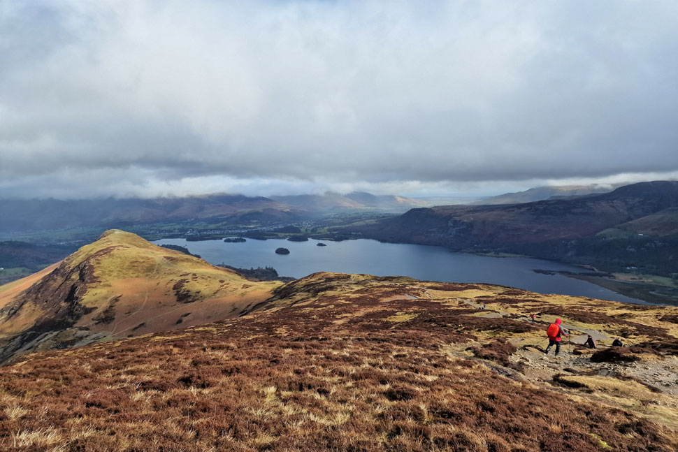 |
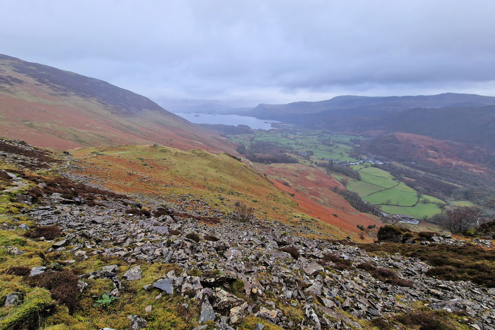
| Cat Bells and Derwent Water seen beyond Hause Gate. |
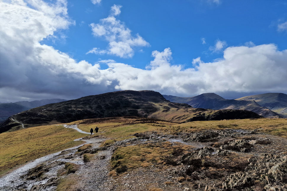
| As you can see Cat Bells and Maiden Moor is proving popular this morning. |
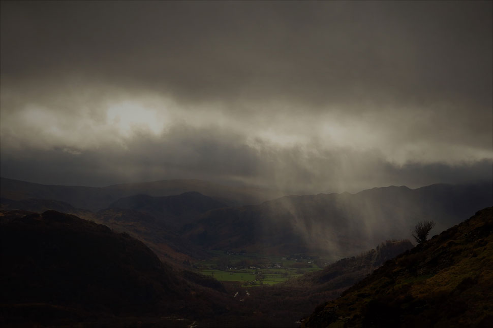 |
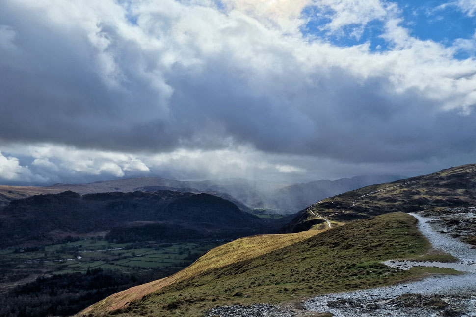
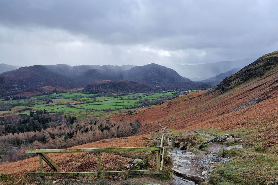
| Band of rain passing over Borrowdale. |
| It's hard to believe that this photo... |
 |
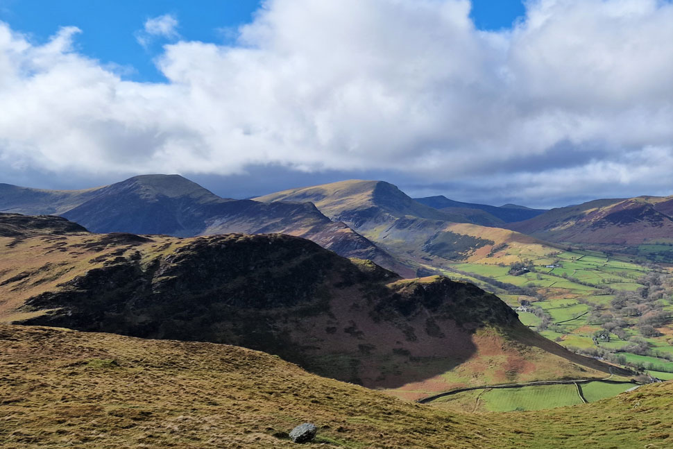
| Maiden Moor, Hindscarth and Robinson. |
| ...was taken just twenty minutes apart from the last photo. |
 |
| Maiden Moor, Hindscarth and Robinson. |
| We crossed Hause Gate and began the easy two tiered ascent on Cat Bells passing many a walker heading for Maiden Moor and indeed those who had ascended from Little Town below. |
 |
| High Crags. Hindscarth, Robinson, Red Pike (Buttermere) Great Borne and Knott Rigg from Cat Bells summit. |
| As expected Cat Bells was quite busy with standing space only at the summit and with more walkers approaching from Skelgill Bank the prospects of a descent over wet rock packed with people we went with the easier descent and decided to return to Hause Gate instead. |
 |
| Hindscarth and Robinson close up. |
| With High Crags seen in the foreground. |
 |
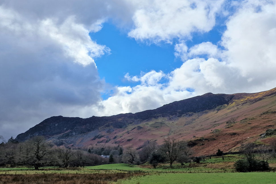
| The wider view. |
| It might be bright and sunny over the Newlands valley... |
 |
| Views towards Borrowdale. |
| ...but the rain never stopped pouring over Borrowdale. |
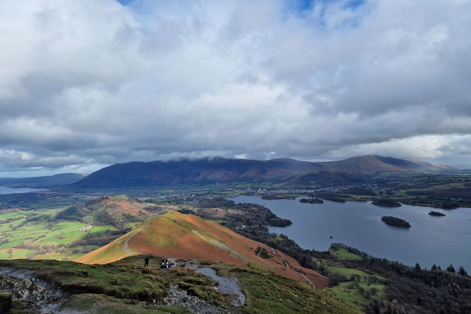 |
| Skelgill Bank, Derwent Water, Skiddaw and Blencathra from Cat Bells summit. |
| It looks like the cloud might clear Skiddaw and Blencathra. |
 |
| Causey Pike, Ard Crags, Knott Rigg, Outerside, Grisdale Pike, Scar Crags, Sail, Eel Crag, Wandope and Whiteless Pike from Cat Bells. |
| We take advantage of the views before leaving Cat Bells summit. |
 |
| Calva leading the way. |
| I had the pleasure of Calva again as we returned to Hause Gate and descended back to Manesty. |
 |
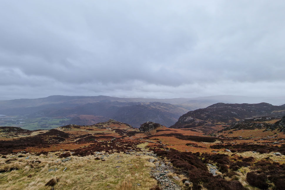
| Wave after wave of rain over the Borrowdale Valley. |
| It's not named the wettest place in the UK for nothing you know. Today we could definitely see why! |
 |
| Goat Crag, Nitting Haws and Blea Crag from Manesty. |
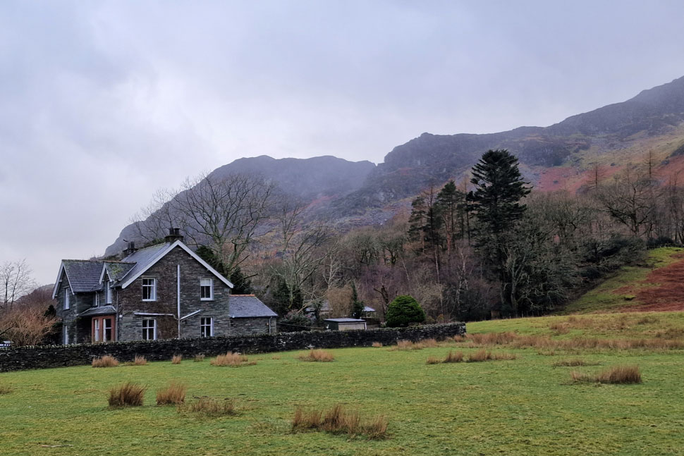
| We had almost dried out during our descent back to Manesty but were caught by the fringes of another shower coming from Borrowdale which then passed over Derwent Water. Despite the odd passing car and tourist it was a quiet walk back along Manesty Road where hedges opened out revealing the crags of Nitting Haws and despite not being able to see the path we could easily pick out our route of ascent. We continued towards the village making sure Calva stayed away from the dead frogs which again, continued to puzzle. Bursting for a pee I used the toilets back at Grange only to be treated to an anxious Calva who waited ears up with David and Rod.
The car park was soon reached, cars were unlocked and we began the task of removing waterproofs. I removed my jacket and hung it on the coat hook behind the passenger seat only to be left with a damp base layer. Kit down continued during which time we arranged to meet up again the weekend after next which will send us two weeks further in to Spring and, almost April showers time. |
|
| |
| Back to top |
 |
|