An Extended Tour of Winter Hill

10th April 2022

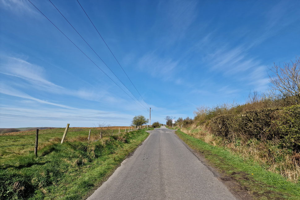
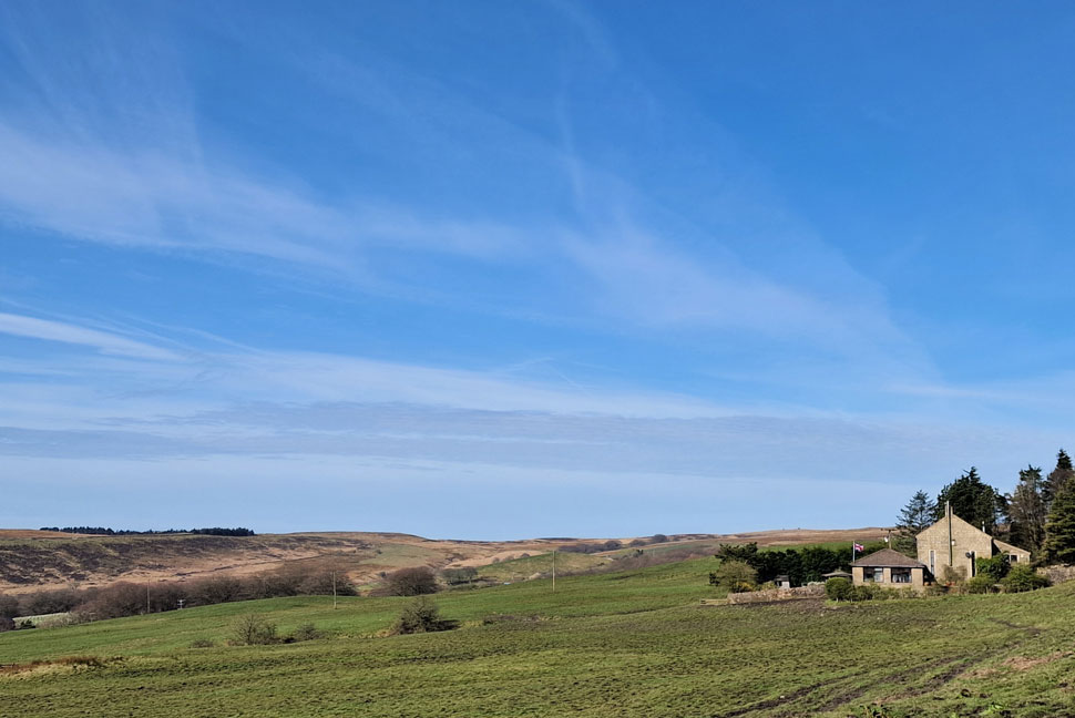
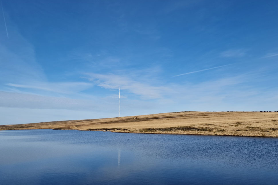
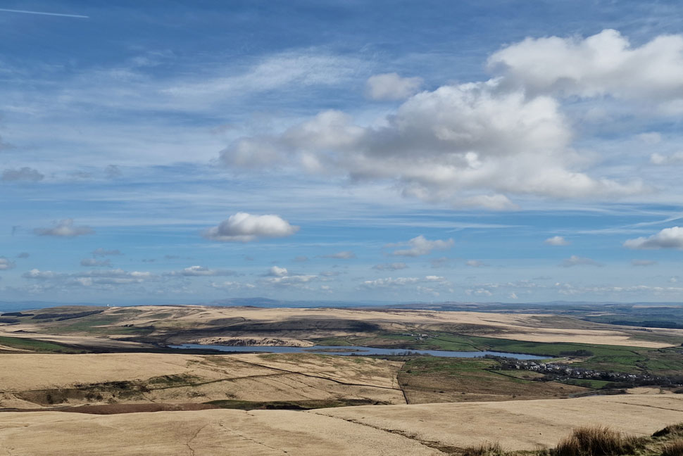
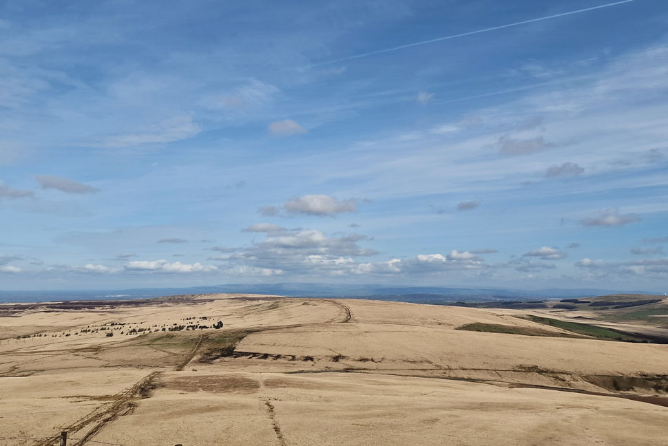
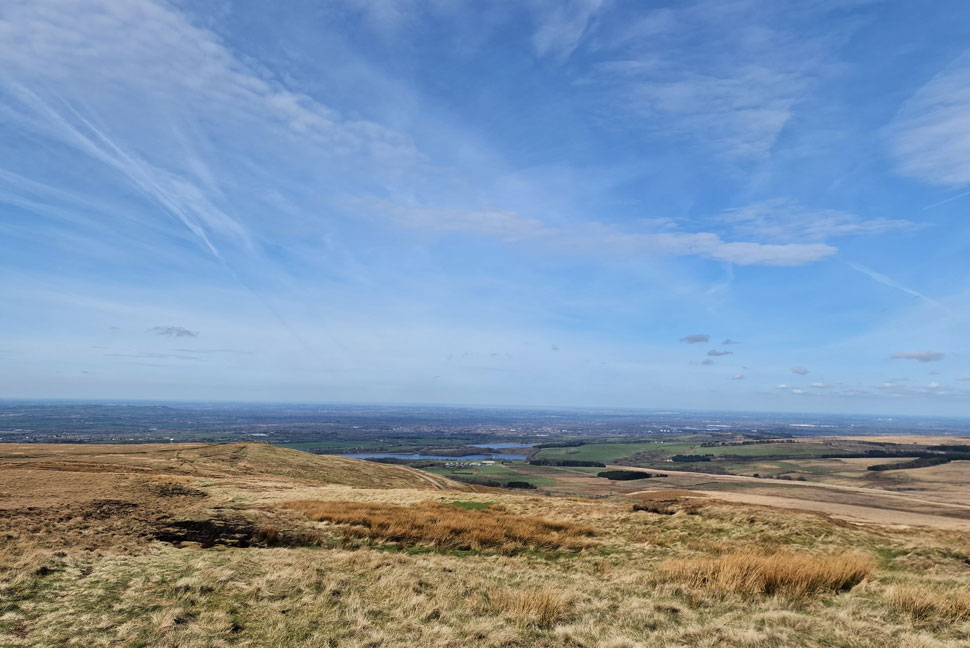
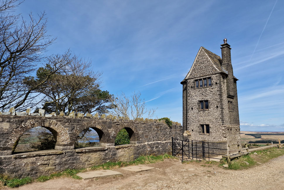
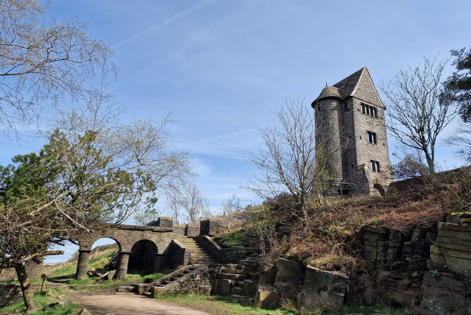
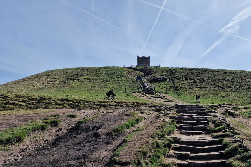
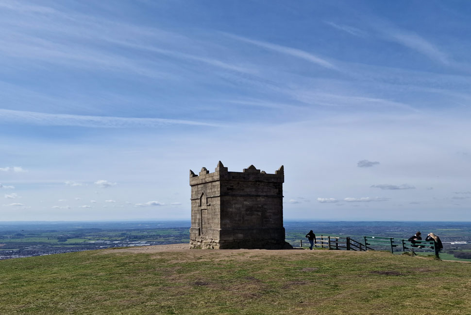
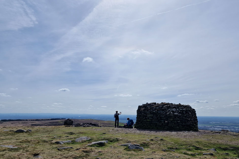
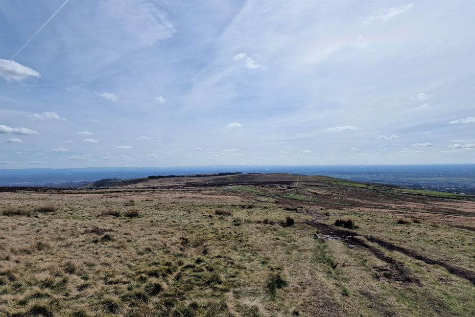
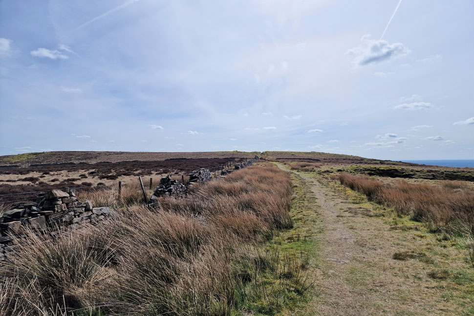
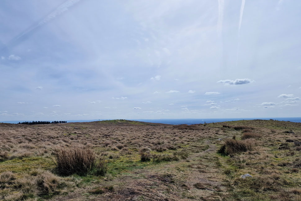
Due to work and family commitments it looked like I wouldn't be able to make Lakeland this weekend and if I'm honest I hadn't thought too much into what to do about Sunday until I looked into the forecast the same morning. Initially it had been forecast to be a cloudy day but there I was looking at a bright morning which would lead well into the afternoon.

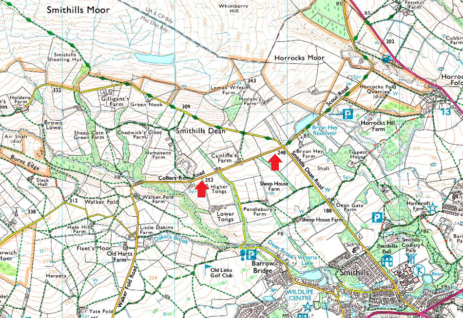
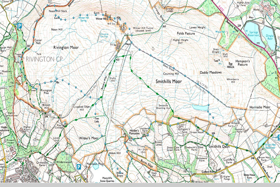
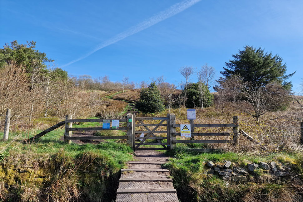
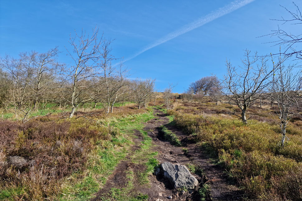
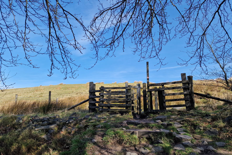
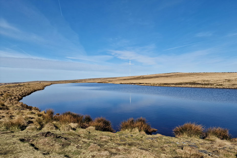
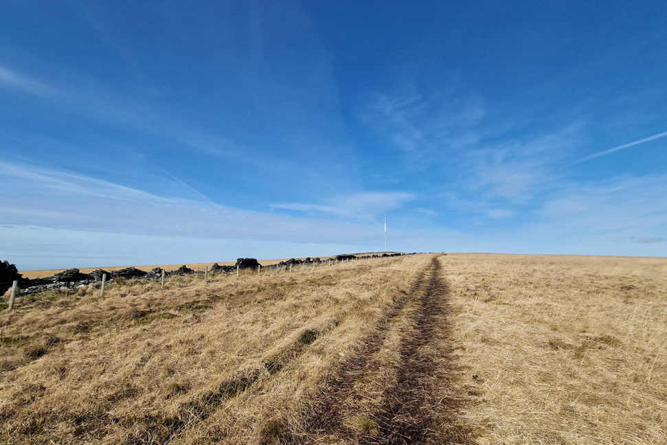
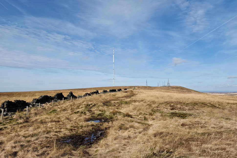
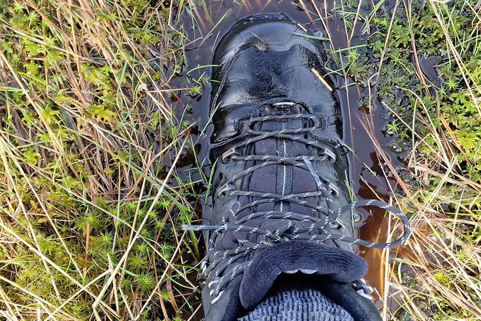
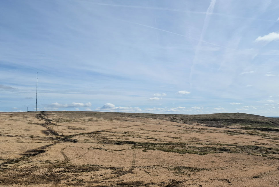
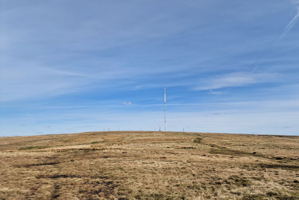
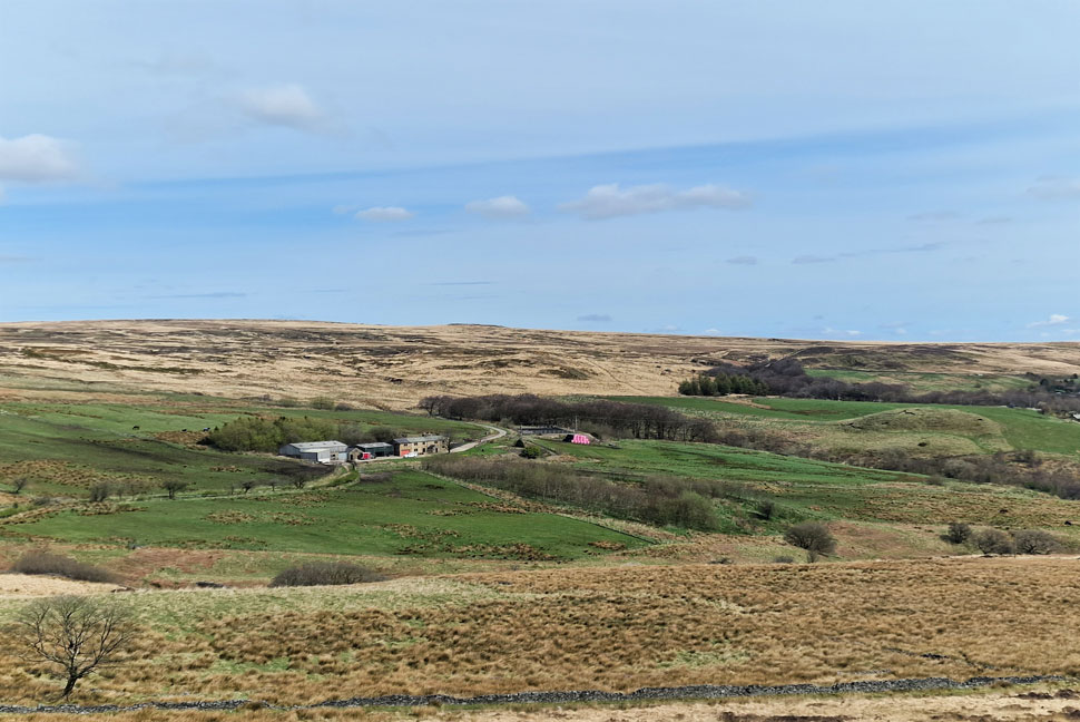
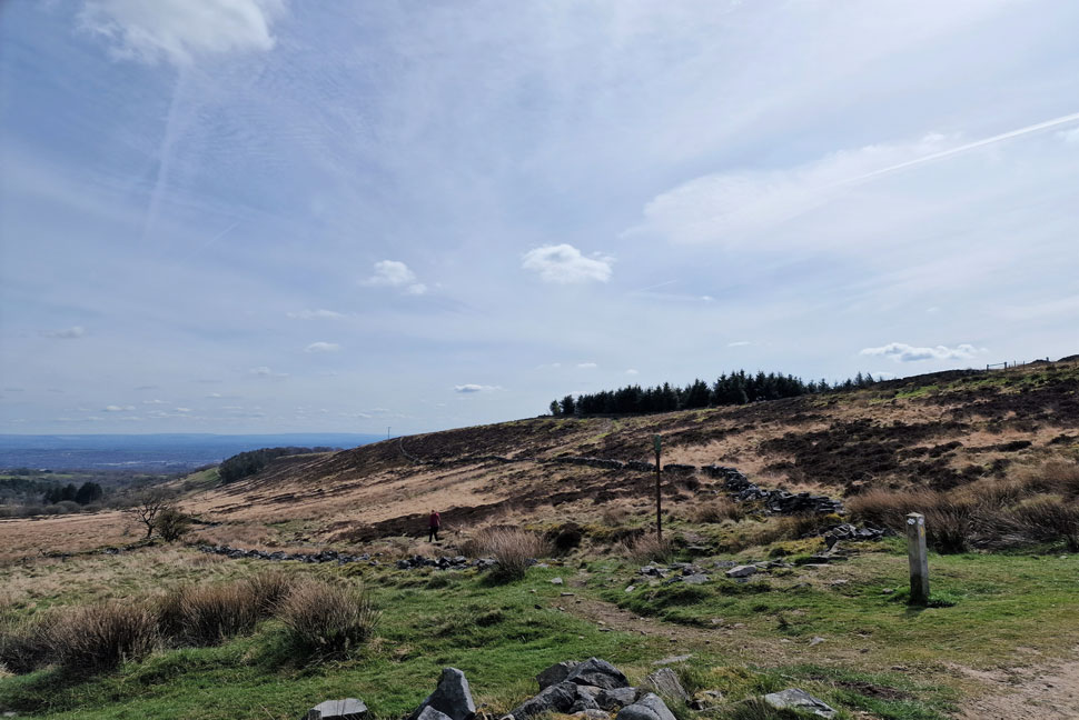
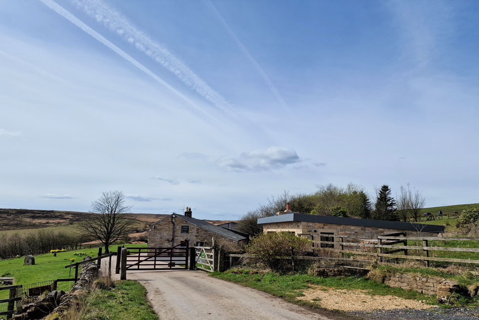
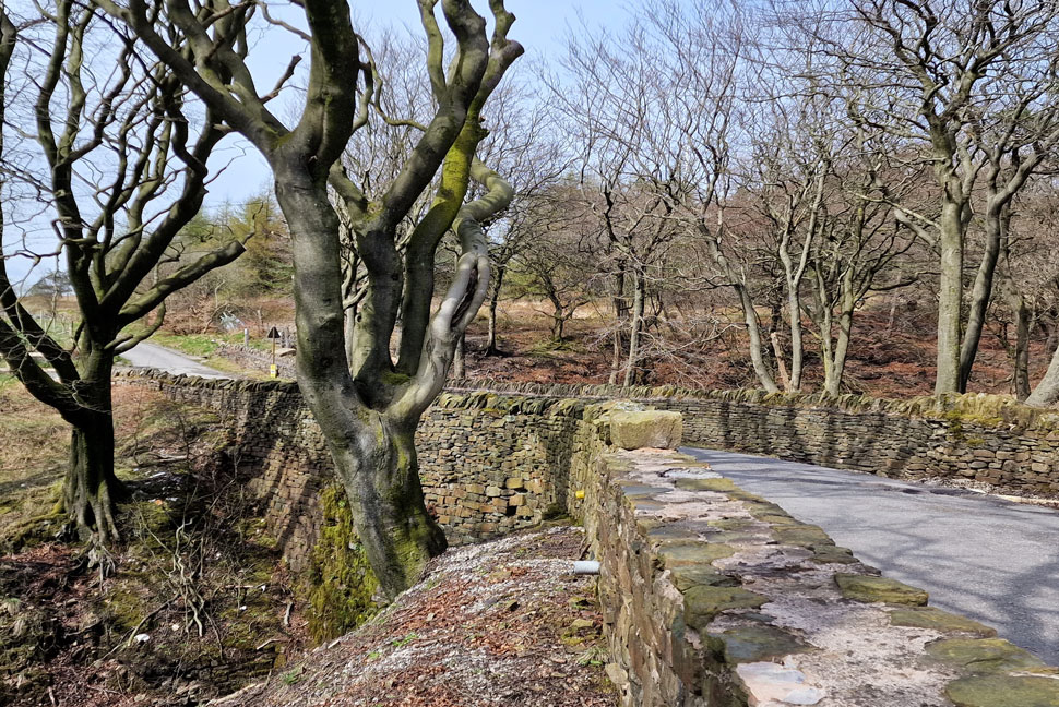
I prepare for occasions like this which meant all I had to do was pack my lunch, put on my walking gear and boots and then drive the ten miles or so to the bottom of Coal Pit Lane above Bolton from where this walk begins. Todays walk might be local but I was certainly in the mood to put some miles under my belt.


Overview
Ascent: 1,247 Feet - 380 Metres
Summits: 7, Counting Hill - Winter Hill - Noon Hill - Rivington Pike - Two Lads - Adam Hill - White Brow
Weather: Predominantly Sunny With High Cloud. Freezing Where Exposed. Highs of 11°C Lows of 7°C
Parking: Junction of Smithills Dean Road & Colliers Row Road
Area: West Pennine Moors
Miles: 9.2
Walking With: On My Own
Ordnance Survey: Explorer 287
Time Taken: 3 Hours 40 Minutes
Route: Coal Pit Lane - Dean Mills Reservoir - Counting Hill - Winter Hill - Noon Hill - Belmont Track - Pidgeon Tower - Rivington Pike - Rivington Moor - Two Lads - Rotary Way - Adam Hill -White Brow - Burnt Edge - Holden's Plantation - Holdens Farm - Coal Pit Lane
 

Parking Details and Map
Nearest Post Code: BL1 7PJ
Grid Reference: SD 682 124


Map and Photo Gallery


Coal Pit Lane 09:45am 7°C
i managed to park up at the two car lay-by at the bottom of Coal Pit Lane and because I'd laced up at home all I had to do was throw my pack over my shoulder and before I knew I was under way. It's a cool but bright morning so besides a pair of shorts I'm wearing a soft-shell hoodie which is ideal for when it's too mild to wear a jacket. With the car locked I joined Coal Pit Lane which rises steadily towards Green Nook cottage.

Burnt Edge and a distant Two Lads from Green Nook cottage.
Unbeknown to me the woodland above Burnt Edge over on the left is where I'll end up later on a route that I'd sort of made up as I went along.

The short cut to Dean Mills Reservoir, Coal Pit Lane.
Just prior to reaching Green Nook is this footpath which I've walked past dozens of times but never actually used possibly because the path doesn't show up on any map but as I'm getting to know the geography of the area quite well now it can only lead to one place, Dean Mills Reservoir.

Onwards and upwards.
It's a pretty steep push which soon eases before I spot open moorland though the gaps in the trees ahead.

It's just a case of passing through the gate.
 

Then Dean Mills Reservoir is reached.
From car to reservoir no less than twenty minutes which is great but I think I prefer the longer way around via Roscow's Tenements Clough as mentioned during a previous post.

Counting Hill and the Winter Hill Transmitter from Dean Mills Reservoir.
On the right day it feels like heaven up here, today is one of those days.

Heading towards the stone wall.
And Counting Hill bound.

Passing through a second gate in the wall to gain access to Counting Hill.
At one point the wall would have been enough to keep the live stock in but overtime like most things the wall fell into disrepair and the new fence was installed over on the right.

Ascent on Counting Hill.
I can't compare Counting Hill to anything I've walked previously which is why it feels so special to me. I came here the day after my Dad passed away for some thinking time where the cloud was down to just above my ears. What else can you do when you can't see the hand in front of your face, you walk and you remember.

Joining me today...
...was a pair of Lapwings while in the distance, the odd sheep silently forages away.

Winter Hill appears.
I've never actually visited the actual summit of Counting Hill which lies in between the old wall and wire fence and with the no cairn to mark the summit it's too easy to just walk by.

Spitlers Edge and Redmond's Edge from Winter Hill.
I left Counting Hill behind and started to take in the views over Spitlers Edge, Redmond's Edge and Great Hill in the distance. The white object over on the far right is Darwen Tower which looks like it's under going restoration work.

Winter Hill summit Trig Point.
I passed over what is commonly revered to by the mountain bikers around these parts as the San Marino descent which is named after the Italian Restaurant where the descent finishes, in actual fact the route is the main walkers path from the village of Belmont below.

Extended views from Winter Hill summit.
Towards Belmont Reservoir, Belmont village, Longworth, Turton and Darwin Moors.

Here's Spitlers Edge, Redmond's Edge and Great Hill again.
If your not into crag and rock then I can throughly recommend the walk to Great Hill via Spitlers Edge and Redmond's Edge.

Rivington Pike from the cairn marked 'cairn' on the 1:25 000 scale map.
I left Winter Hill summit to a mountain biker who had propped his bike up against the trig point before proceeding to take photos of it, I'd want some sort of prove If I'd just peddled up Winter Hill the way he just had.

Noon Hill is next.
Seen here with Yarrow and Anglezarke reservoirs beyond.

Bog wat'er

In only the driest of cases I would make the crossing from Winter Hill to Noon Hill which makes the Lakelands Pewitts look like the Sahara Desert. Today I was stupid enough to attempt such a crossing where my boots wondered what they'd done so wrong for me to put them through such continuous torture!

Ok I may have over reacted, but my socks were never the same.


Winter Hill and Winter Hill Flats (left) from Noon Hill.
I might have damp socks now but for that view alone it's worth it.

Robinson R44 Astro based at Barton Aerodrome, Manchester.

Had been doing some low flying around Winter Hill and Noon Hill this morning so much so and without really noticing I'd become accustomed to the rotar noise.

There's Yarrow and Anglezarke reservoirs again.
It was too hazy for my mobile phone to pick it out but I could actually see Blackpool Tower from here, if you squint and follow the horizon towards the far right you might be able to see it too,

Pigeon Tower.
I descended Noon Hill and arrived firm footed at Belmont Road (track) which I followed towards the Pigeon Tower which even in todays sunshine always looks kinda spooky to me. The tower was built in 1910 by R.Atkinson the then owner of the land which was home to ornamental doves and pigeons. The top floor was used by Lady Lever as a sewing room and viewing tower.

The Pigeon Tower from the Ornamental Gardens.
 

Rivington Pike awaits.
I've passed the Pigeon Tower on many recorded and unrecorded visits but have never had the place to myself and today was no different. With the arrival of the crowds I linked back up with Belmont Road (track) and made my way towards Rivington Pike where you have two options to ascend by, these very steep steps or a path which ascends on a more gentler incline around the back of the summit. I go with the steps today.

Rivington Pike Tower.

During the times I'd spotted the summit today it was packed from one end to the other although when I arrived it must have been in between a null finding just three people here.

That must be like some kinda record.


Rivington Moor and Two Lads from Rivington Pike.
During the dry fortnight we had a couple of weeks ago I crossed Rivington Moor unrecorded with Brad and Holly which was as dry as a bone. We've had some rain since then but not enough to put me off heading over the moorland towards Two Lads seen over on the right.

Crossing an infant River Douglas.
The source of the River Douglas starts its life on Winter Hill at Douglas Springs before eventually flowing through Wigan sections of which were navigable by boat during coal and cotton revolution tributing the River Yarrow and River Ribble before eventually flowing into the Lancaster Canal.

Looking back on Rivington Pike from Rivington Moor.
Todays crossing was a little damper than that of two weeks ago but nothing like I'd encountered below Noon Hill.

Winter Hill from Two Lads.
 

Two Lads at Two Lads.
I crossed the moorland unscathed and felt the pull onto Two Lads which was longer than I remembered. I could head back onto Rotary Way from here then maybe head back to Coal Pit Lane via Smithills Moor but two little hummocks had my name on them. That's Adam Hill and White Brow seen between the two stone cairns with the woodland I'd spoken about at the beginning of the report over on the left.

Leaving Two Lads from Adam Hill and White Brow.
Despite the lowery summits I was starting to feel like I was putting some miles under my belt now and just wanted to keep walking, trouble was I was running out of places to walk.

Nice and easy does it.
 

Adam Hill seen right and White Brow seen left.
If you didn't know these two stubby summits had names and were mapped you could easily walk past them.

A distant Counting Hill with Holdens Farm and plantation below.

I left White Brow behind and walked north along the treeline until I arrived at Burnt Edge. Here I veer left not before stopping for a few moments while taking in the view.

The treeline seen right is upper Roscow's Tenements Clough veering further right towards lower Roscow's Tenements Clough. The area above is Dean Mills Reservoir which I'd visited earlier.


Looking back on Burnt Edge.
 

Heading through Holden's Plantation.
Towards Holdens Farm.

Holdens Farm.
 

I
Bridge over lower Roscow's Tenements Clough.

Somewhere between Burnt Edge and Roscow's Tenements Clough I delayered and ate lunch whilst on the move, it had clouded over slightly but not enough that I couldn't feel the Spring warmth. Burnt Edge was busy and so too was Two Lads who by now was host to what looked like a large walking group numbering twenty or more. With Burnt Edge behind me I lost sight of Two Lads and crossed the impressive stone footbridge over lower Roscow's Tenements Clough and paused to look down on the woodland below which is scarcely penetrated by sunlight leaving the woodland looking like it was still in Autumn mode.

Leaving the stone bridge behind I continued along the road passing Gilligant's Farm which is at the posh end of the farming spectrum where neat flower beds and high end Range Rovers replaced machinery. The road rises back onto Coal Pit Lane which is usually busy with folk travelling to and from the moor but in the haze of the afternoon I walked back alone passing one jogger running in the opposite direction.


Back to top