|
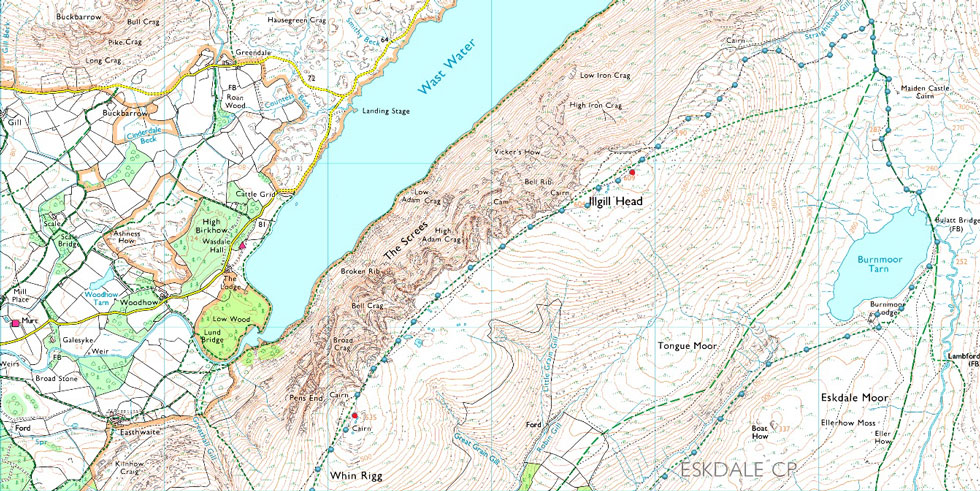
Illgill Head via Miterdale |
 |
 |
23rd April 2022 |
 |
|
The origins of this walk go way back to last Winter when we were talking past, and 'must do walks' Miterdale was mentioned and Rod chirped up "I don't think I've ever walked through there" and that was it, we came up with this route among half a dozen other walks that we've still yet to do.
The last time I walked here was back in 2014 when David and I walked 'the shrinking valley' before ascending Sca Fell whose summit dominates from the valley below. That was the first time I'd walked through Miterdale and I can still remember David's words when he described the valley being so narrow that "if you spread your arms out wide you can almost touch the sides"
Miterdale was also the place when David first told me that he was thinking of winding Walkthefells down, don't forget this was August 2014 three years before he actually closed the website down, three years spent trying to convince David otherwise. My memory will never let me forget Miterdale, nor the day that conversation took place. We're back today to introduce Rod to Miterdale valley on the most perfect of Spring days our only regret being that we could have got away with wearing shorts afterall. |
|
| Wainwright Guide Book Four |
 |
| The Southern Fells |
| Illgill Head is known to most visitors as Wastwater Screes, although this later title is strictly appropriate only to the stone-strewn flank that falls so spectacular into the depths of Wastwater. |
 |
|
|
|
|
| |
|
Overview |
|
|
| Ascent: |
2,417 Feet - 737 Metres |
| Wainwrights: |
2, IIIgill Head - Whin Rigg |
| Visiting: |
Irton Fell |
| Weather: |
Bright & Sunny Throughout. Strong Winds From Valley to Summit Level.. Highs of 17°C Lows of 9°C |
| Parking: |
Parking Spaces, Giggle Alley |
| Area: |
Southern |
| Miles: |
10.5 |
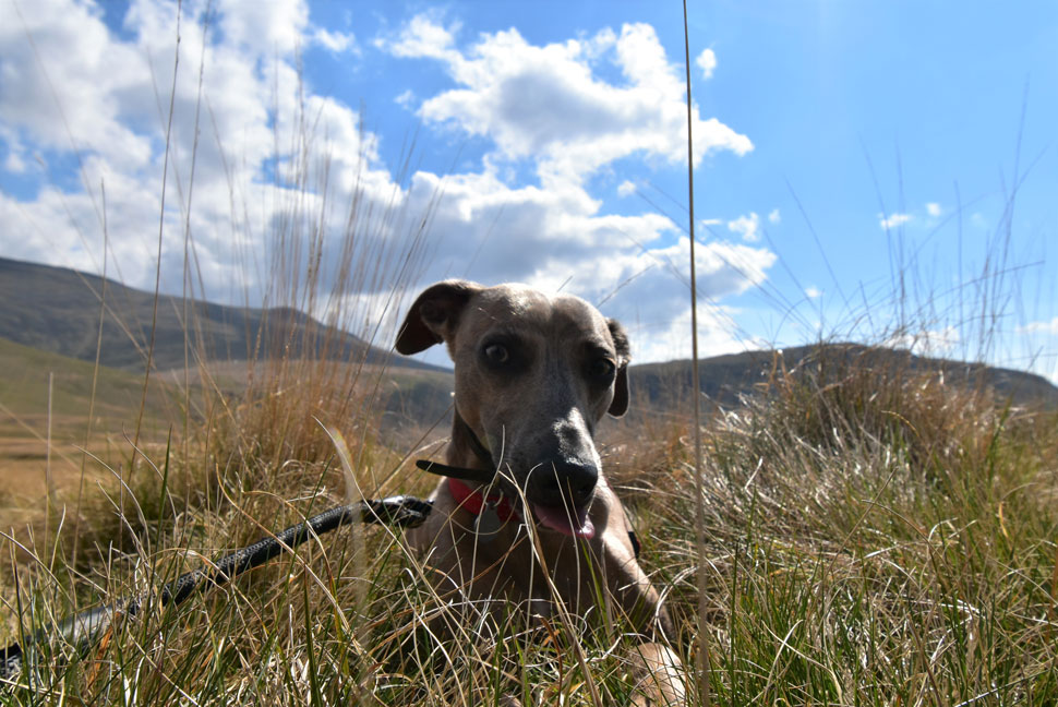
| Walking With: |
David Hall, Rod Hepplewhite & Calva The Dog |
| Ordnance Survey: |
OL4 |
| Time Taken: |
6 Hours 20 Minutes |
| Route: |
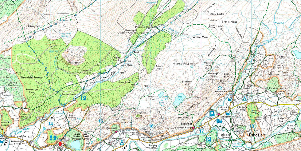
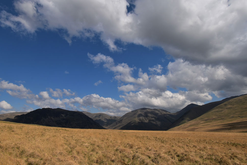
Giggle Alley - Porterthwaite - River Mite - Low Place - Miterdale - Burnmoor Lodge - Burnmoor Tarn - IIIgill Head - Whin Rigg - Irton Fell - Miterdale Forest - Porterthwaite - River Mite - Giggle Alley |
|
| |
|
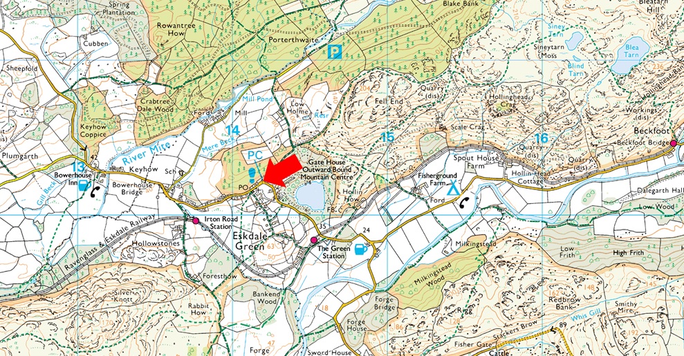
Parking Details and Map |
|
|
| Nearest Post Code: |
CA19 1TX |
| Grid Reference: |
NY 141 900 |
| Notes: |
A fantastic location to leave the car for alternative routes on to the Scafells via the Mitredale Valley or simple excursions on the Ravenglass and Eskdale Railway or even a walk over Muncaster Fell. There is room for around eight cars and there is also a toilet block too with Eskdale Stores just a short stroll away. Parking is free. |
|
| |
|
Map and Photo Gallery |
|
|
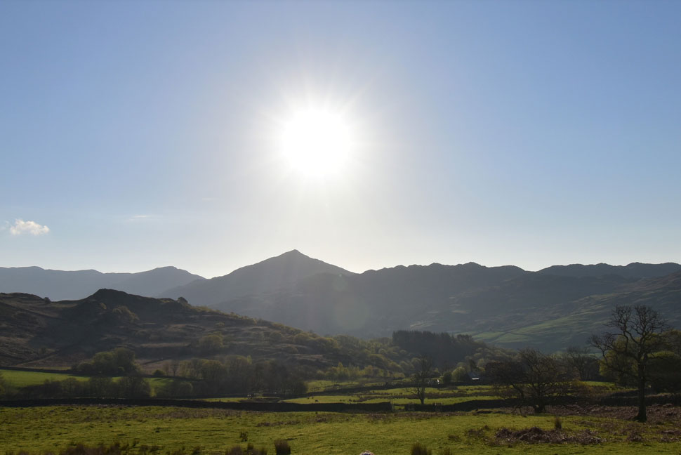 |
| Sunrise over Caw taken from the Birker Fell Road. |
| I left home during the twilight hours and was lucky enough to witness the sunrise over the eastern sky. By the time I reached the Birker Fell Road the sun was rising into a cloudless sky and by the looks of it we were in for a beautiful day. |
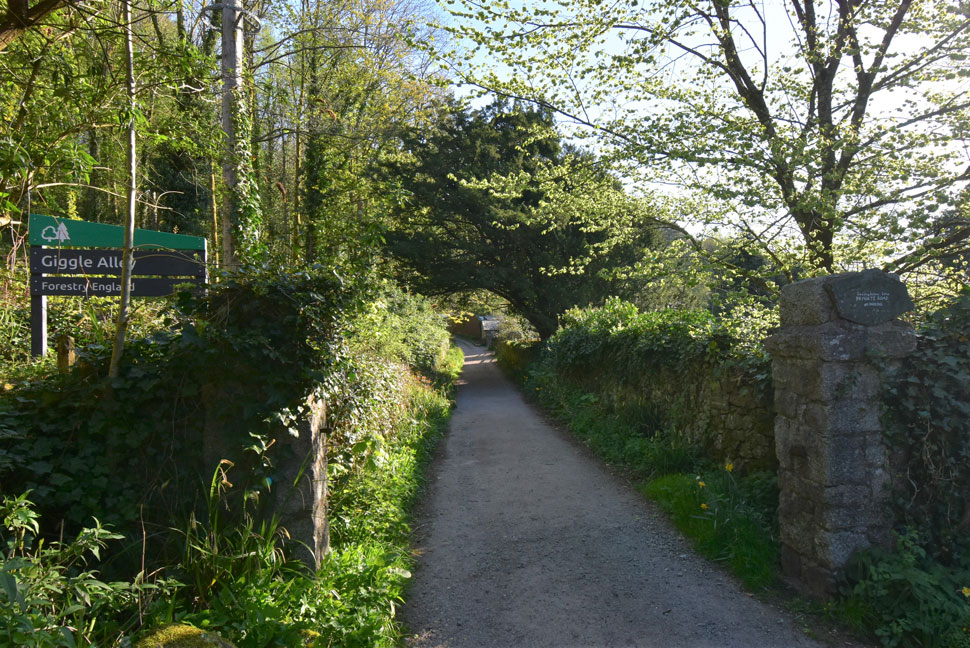 |
| Giggle Alley, Eskdale Green 08:00am 9°C |
We had a arranged to meet by the parking spaces at Giggle Alley, Eskdale Green at 08:15am and I arrived to find David and Calva already there around 08:00am. Calva was still in the back of David's car and asked would I mind I help him apply a gel to Calva's eyes which the vet had given him due to Calva developing a squint when in bright sunshine.
Rod soon arrived and parked easily next to my car. Given how good todays forecast is we'd expected the parking spaces to be filling up quickly but Eskdale remained quiet during the time it had taken us to kit up with the exception of the wind hustlng through the trees above our heads. We'd all read the forecast and opted to wear long trousers due to the forecasted strong winds which would feel much cooler at height, truth was we could have actually got away with wearing shorts but it's too late to do owt about it now.
With Calva's eyes treated we locked the cars and headed up Giggle Alley which rose steadily before descending into Portherthwaite and the Miterdale valley thereafter. Jackets get packed into our packs while our mid layer fleeces or soft shells kept the chilled morning chill out. |
 |
| Crossing the River Mire at Porterthwaite. |
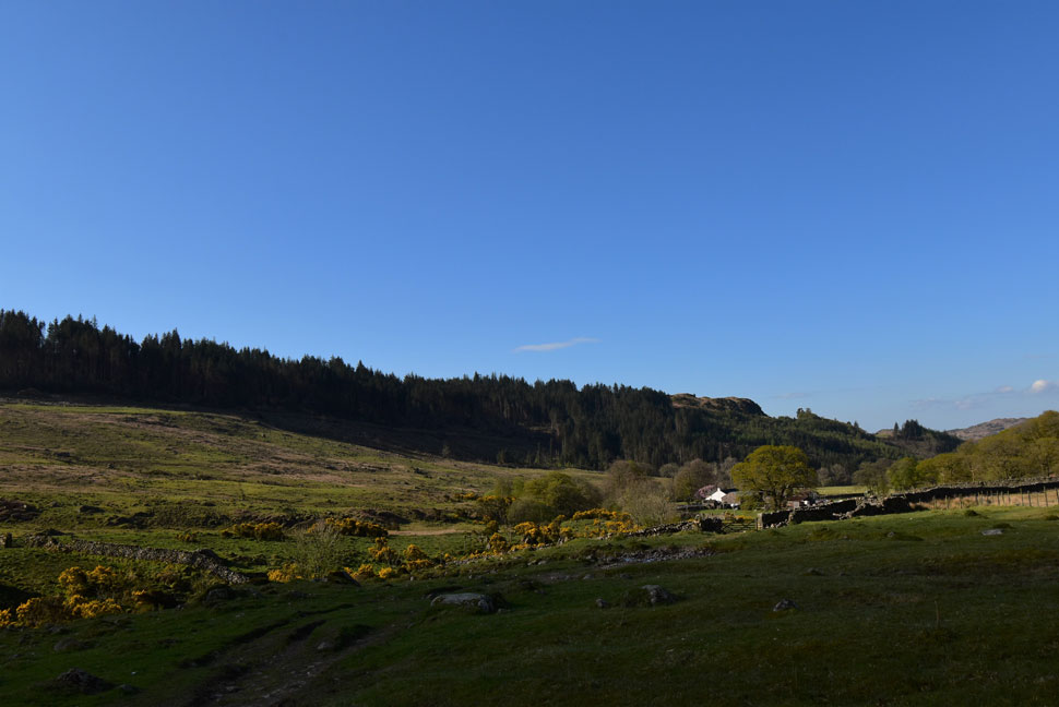
| We descended into Porterthwaite and followed the concrete lane towards the footbridge over the River Mite while trying to remember the name of the craggy outcrop seen left...it was only when we got home after the walk did Rod email to say it was Great Bank which had been on the tips of out tongues best part of the walk. That's Sca Fell seen right which dominates the view for the entire length of the Miterdale valley. |
 |
| The River Mite. |
| Looks like somebody is going in for a dip. |
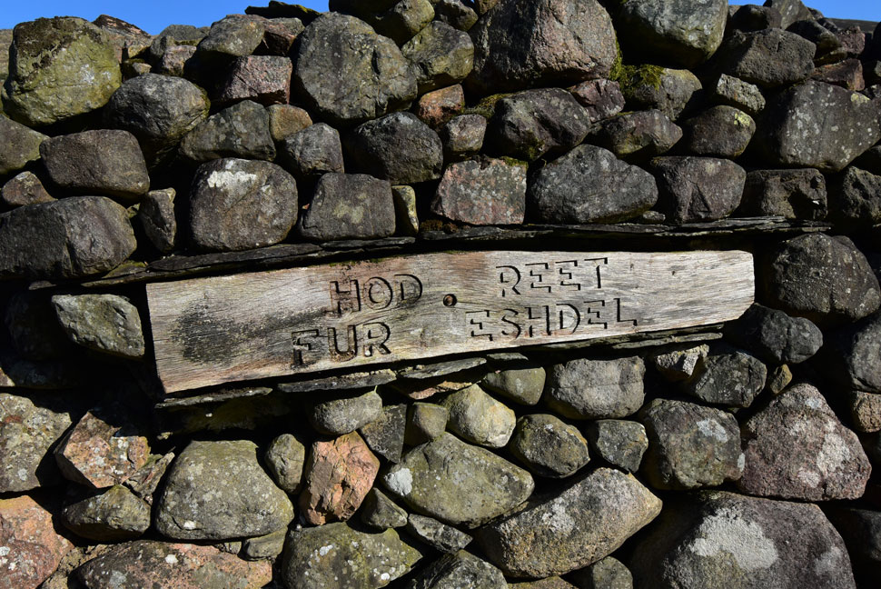 |
| Hod Reet Fur Eshdel. |
| It didn't take long for the temperature to rise and sleeves were already being rolled up. We passed through Low Place Farm where we spotted half a dozen Collie pups penned up yapping away sparking Calva's ears to rise in all directions! Once through the farm yard we spotted this sign which I remembered from my first visit which reads in Cumbrian dialect 'Head right for Eskdale' |
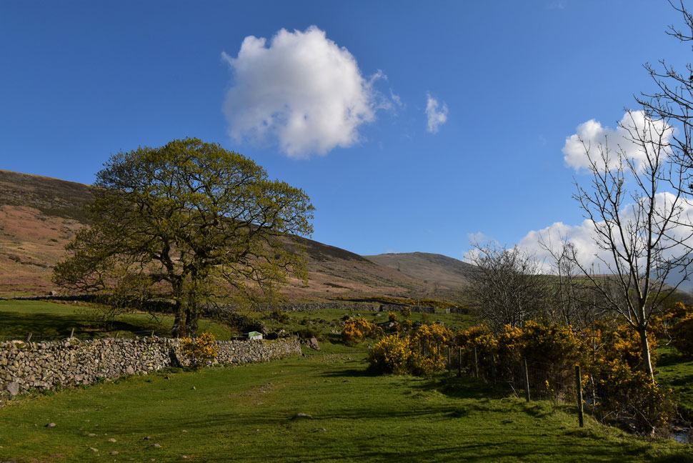 |
| Gorse adding lots of colour to the Miterdale valley. |
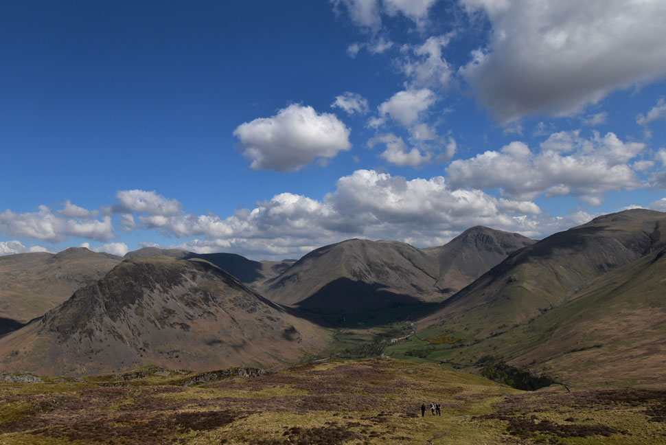
| Not that it needed it on such a nice day. That's IIIgill Head seen center with Tongue Moor leading away towards the right. |
 |
| Looking back on Low Place Farm. |
| By now we'd passed through three gates that had all been left open including one close to the farm yard. We naturally closed them before spotting the farmer coming down from the fell on a quad bike with a heard of sheep in front of him...whoops the farmer had intentionally left the gates open so for a few moments we were left with red faces. |
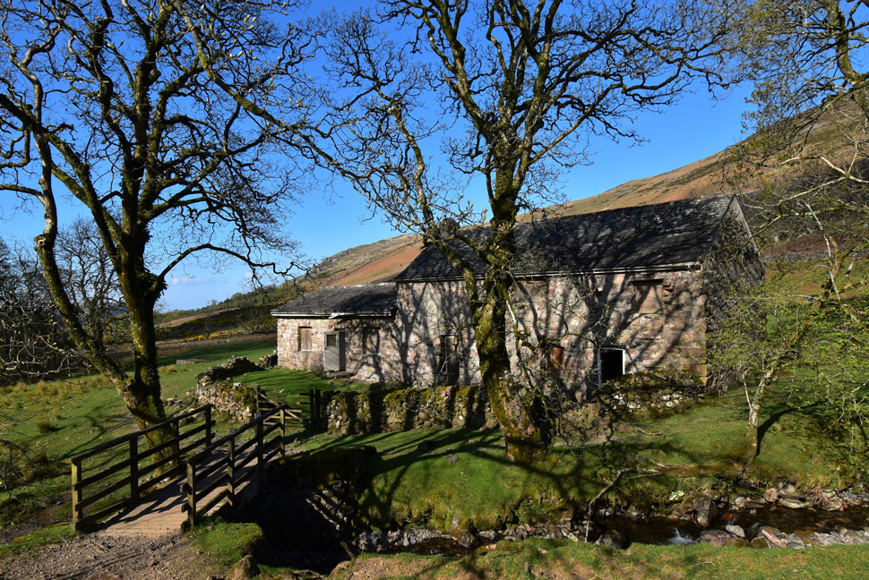 |
| Bakerstead Outdoor Pursuits Centre. |
| Or that should be the former Bakerstead Outdoor Pursuits Centre which is slowly going to ruin. We passed the Pursuits Centre only to find all three doors open two of which had been forced so we had a look inside and found that the sheep had taken up residence. |
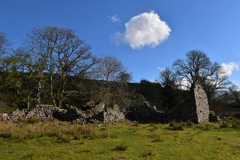 |
| Ruined Farmhouse, Miterdale. |
| David told us of the story which goes back a couple of hundred years which lead to a grizzly ending. Apparently while the farmer was out tending to livestock his wife was murdered here by a man dressed up as a woman, you just couldn't picture it could you. |
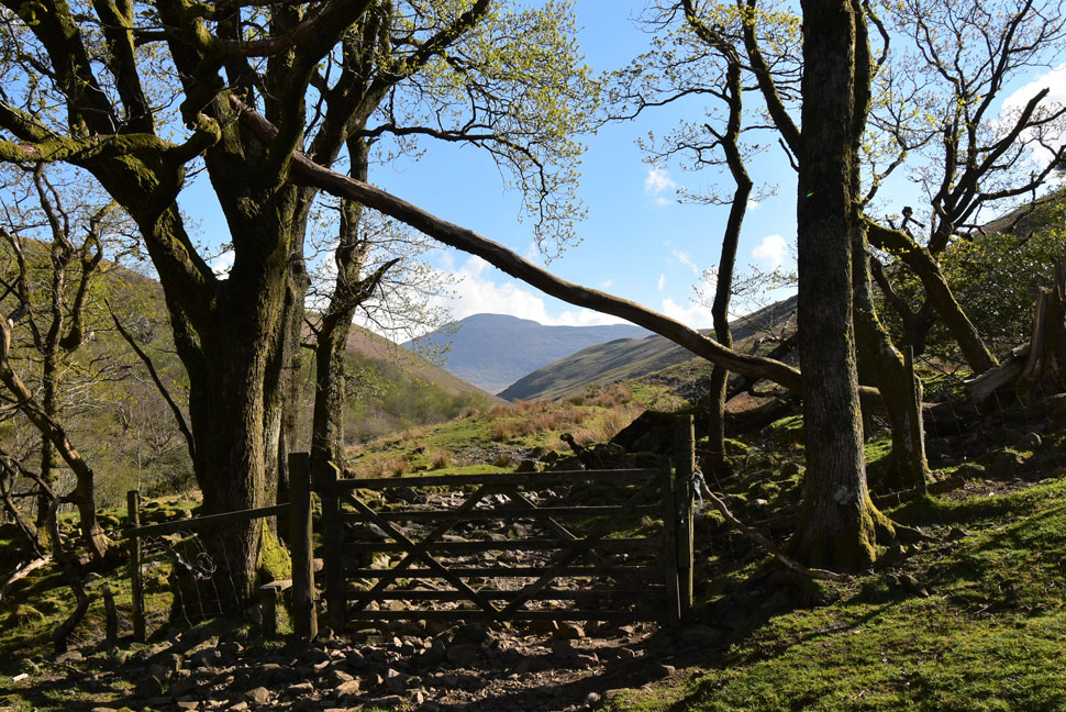 |
| Sca Fell framed by a fallen tree and gate. |
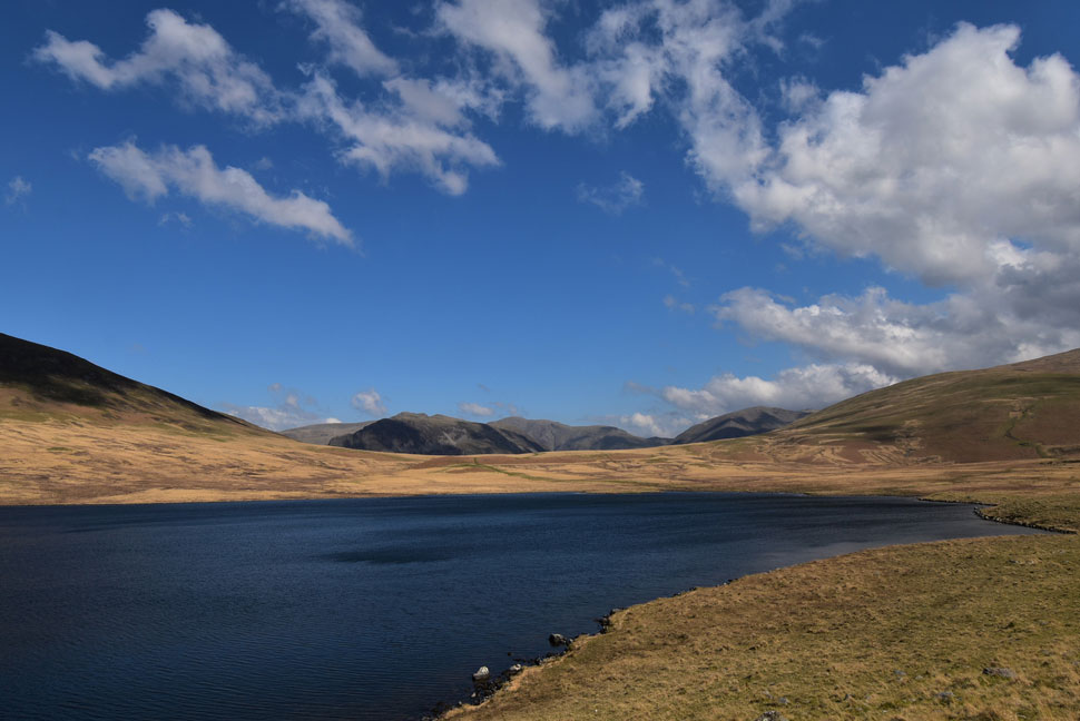
| We crossed the River Mite via an old stone arched bridge then passed through a paddock before arriving at this gate with a view of Miterdale and Sca Fell ahead. |
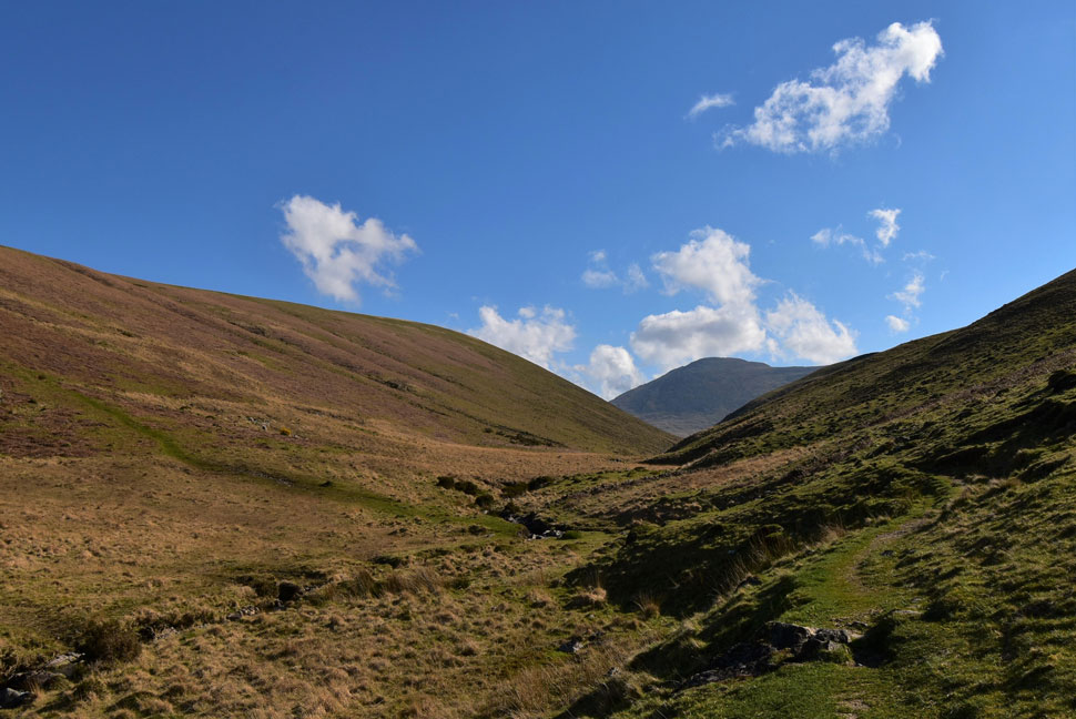 |
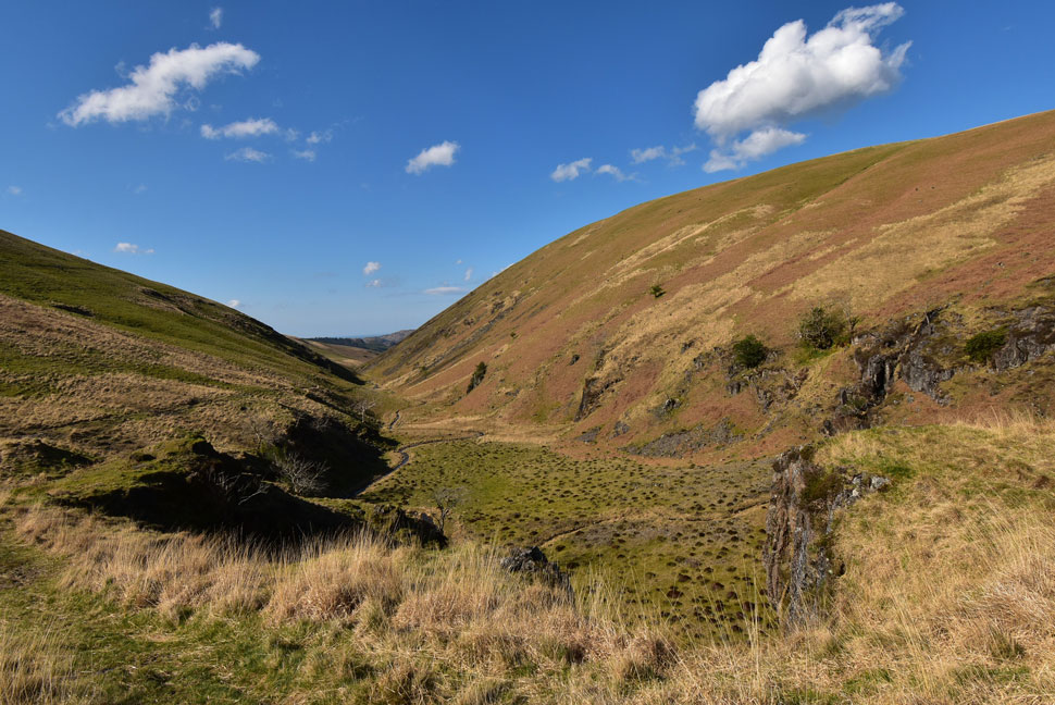
| Sca Fell and Tongue Moor from Miterdale. |
| It's from here do you get to see how the valley really narrows up ahead. |
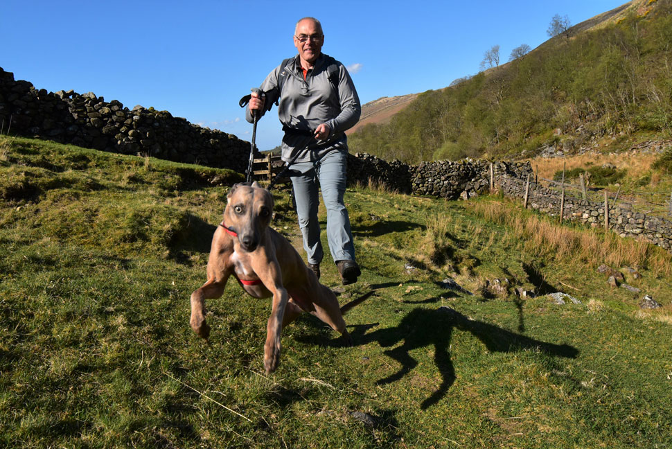 |
| Calva taking David for a run! |
I asked David would he mind I publish this photo to which David replied of course! I was up ahead with David and Rod further back taking photos and to keep myself out of shot I ascended the hill side before returing to the path then crouched down to take a shot of Calva calling 'come on lad' Calva shot forward within a tenth of a second dragging David helplessly behind!
David is still training Calva who isn't confident to be off the lead just yet but had he been Calva would have been on top of Sca Fell by now...Calva is split second quick, lean and very powerful. |
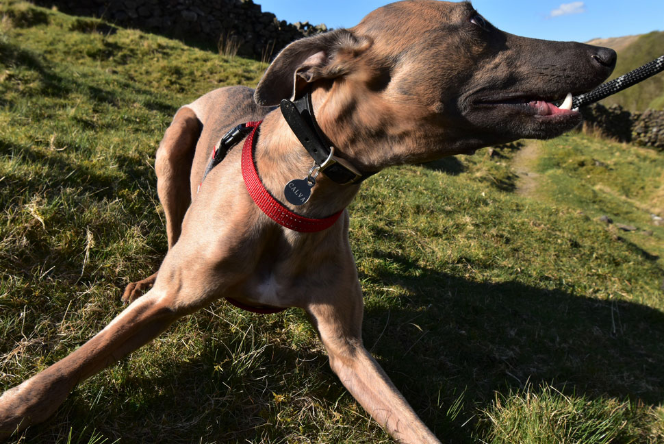 |
| It's zoomies time! |
| Calva's excitment continued and I managed to get a few more shots before David calms him down with a few treats from his pocket. |
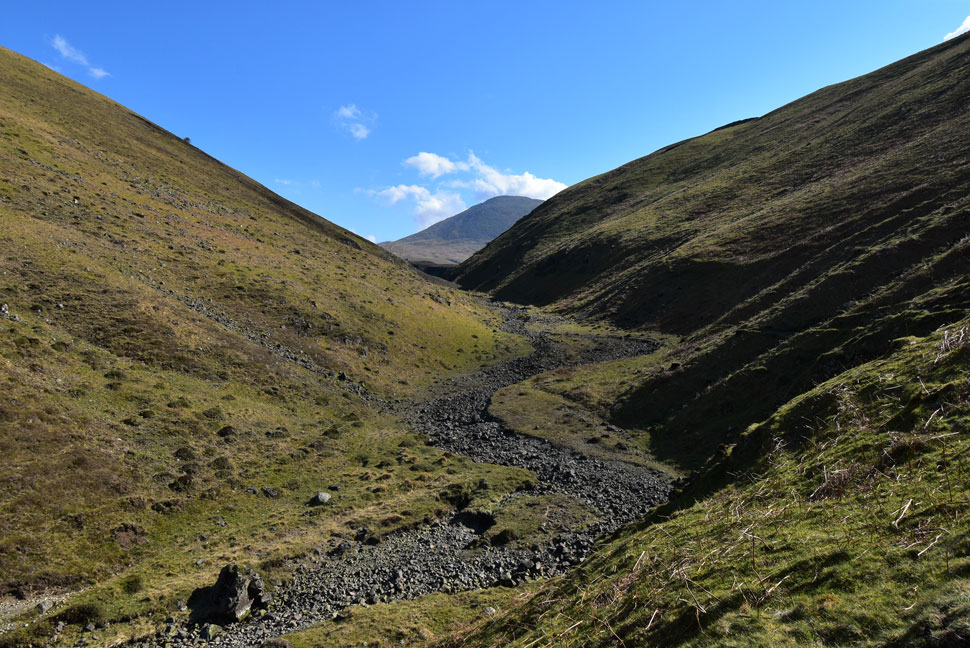 |
| Sca Fell from Miterdale. |
| As the valley narrows the path switches from right to left. This section of the river bed was completely dry while up ahead the River Mite was flowing quite deep in some places. |
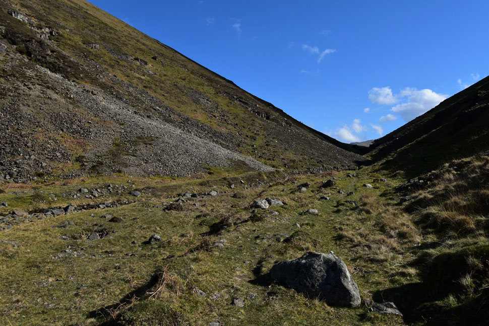 |
| The Miterdale Valley. |
| Right breathe in lads we're about to pass through the narrowest part of the valley. |
 |
| Looking back through Miterdale. |
| Soon the head of the valley appears where a path on the right inclines steadily from the valley. |
 |
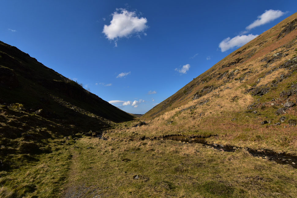
| Miterdale Head. |
| Geographically yes but not by name. Miterdale Head is shown on the map close to Bakerstead Pursuits Centre a couple of miles back. |
 |
| Looking back through the Miterdale Valley from [Miterdale Head] |
| The hill in the distance is Muncaster Fell. |
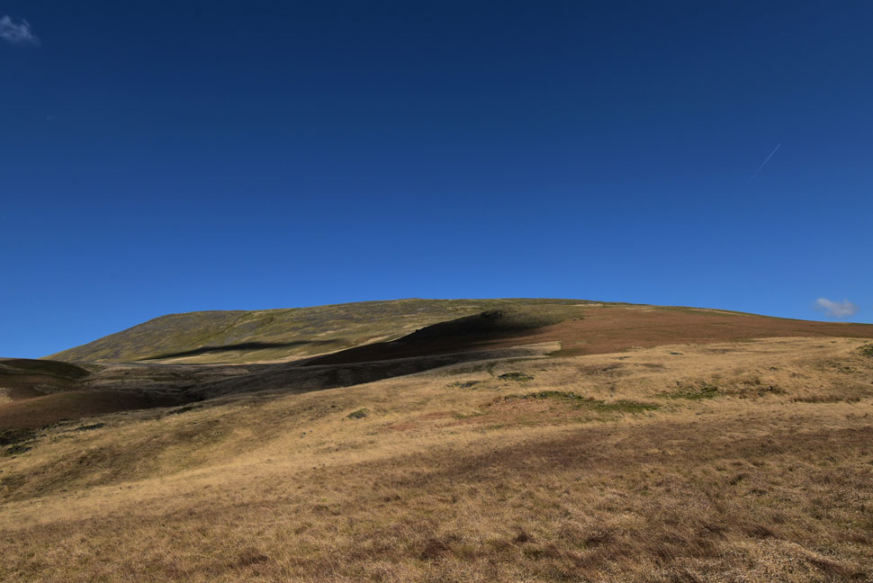 |
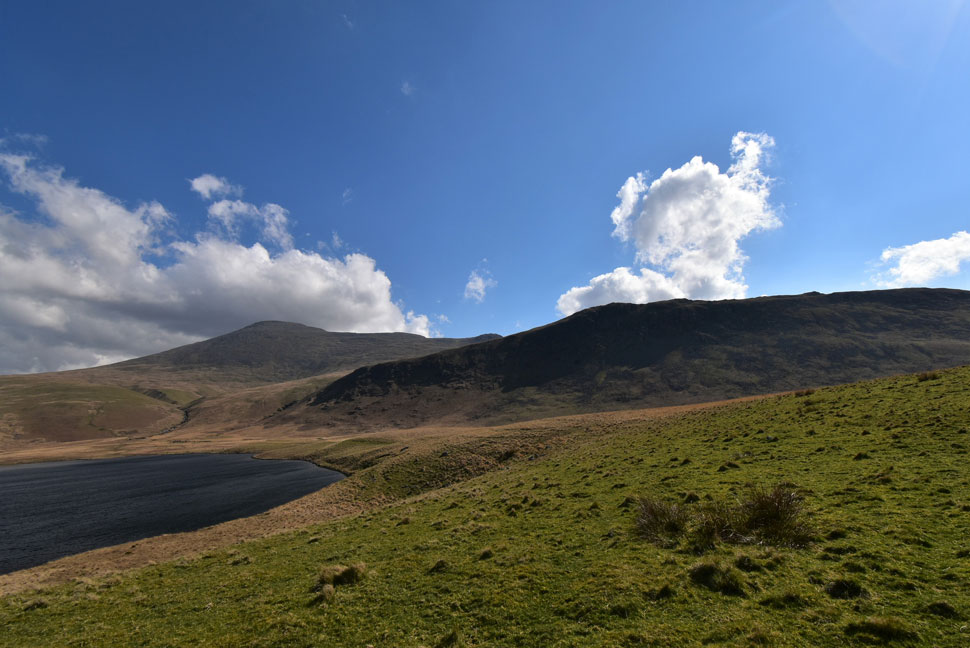
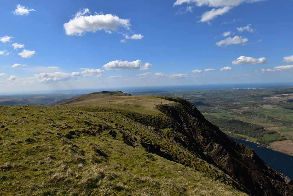
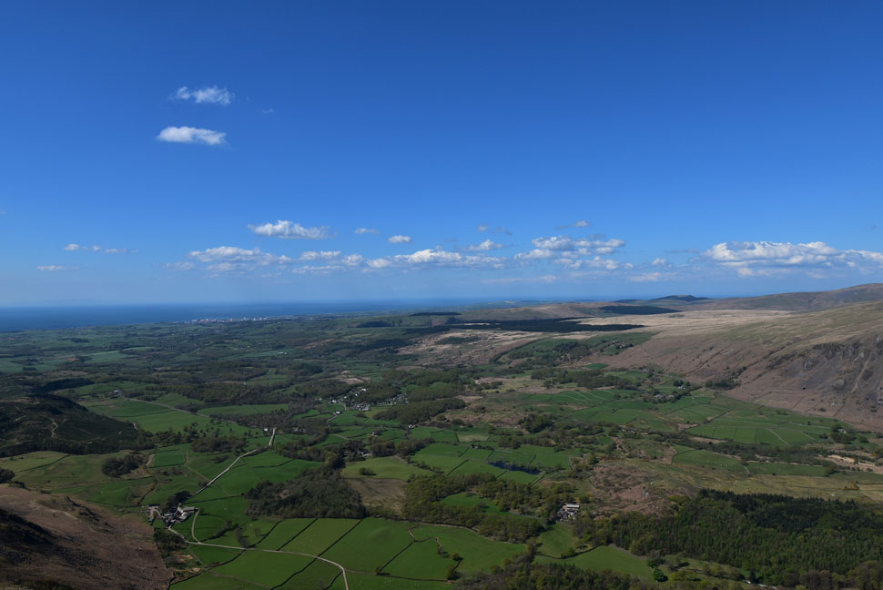
| An extra wide shot of IIIgill Head. |
| Seen as we squelched our way towards Burnmoor Tarn. |
 |
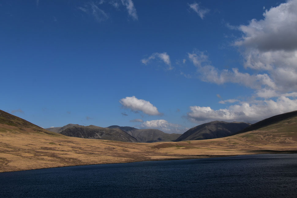
| Kirk Fell, Beck Head, Great Gable, Sca Fell, Hardrigg Gill, Slight Side, Great How and Burnmoor Tarn. |
| The section of path between Miterdale Head and Burnmoor Tarn was quite boggy in places where having the skill to hop, skip and jump came in handy. |
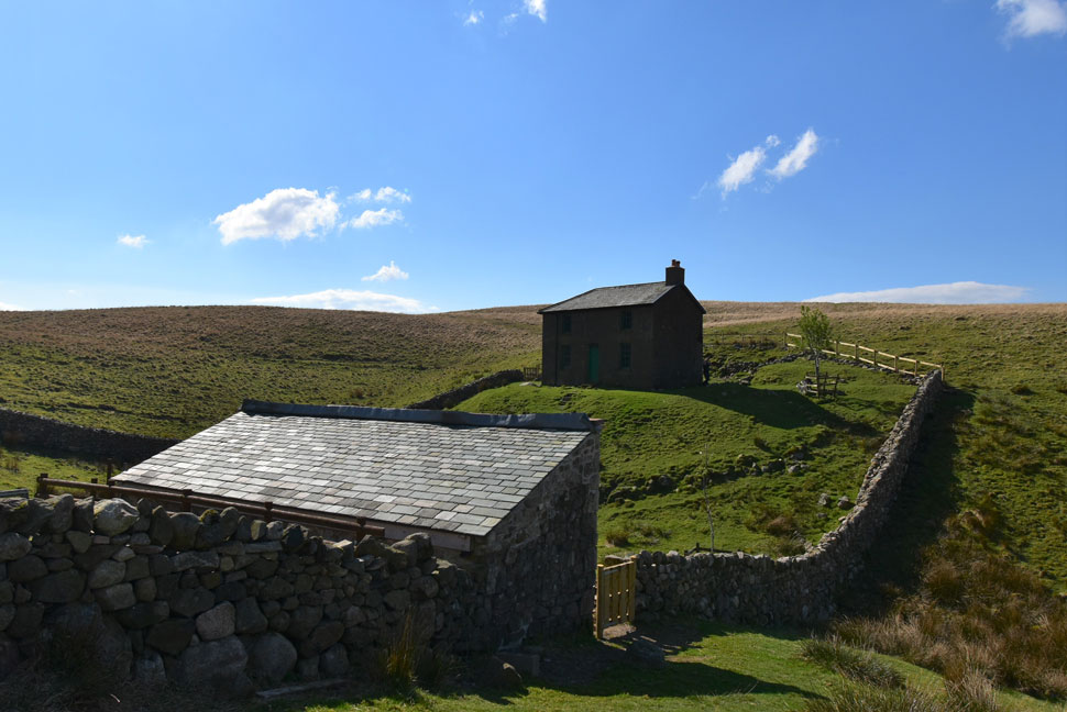 |
| Burnmoor Lodge. |
| We spotted movement from Miterdale Head and to our surprise found a family and their dogs were staying at the lodge. Burnmoor Lodge Club has only recently opened after Covid and only members of the club are allowed to stay. |
 |
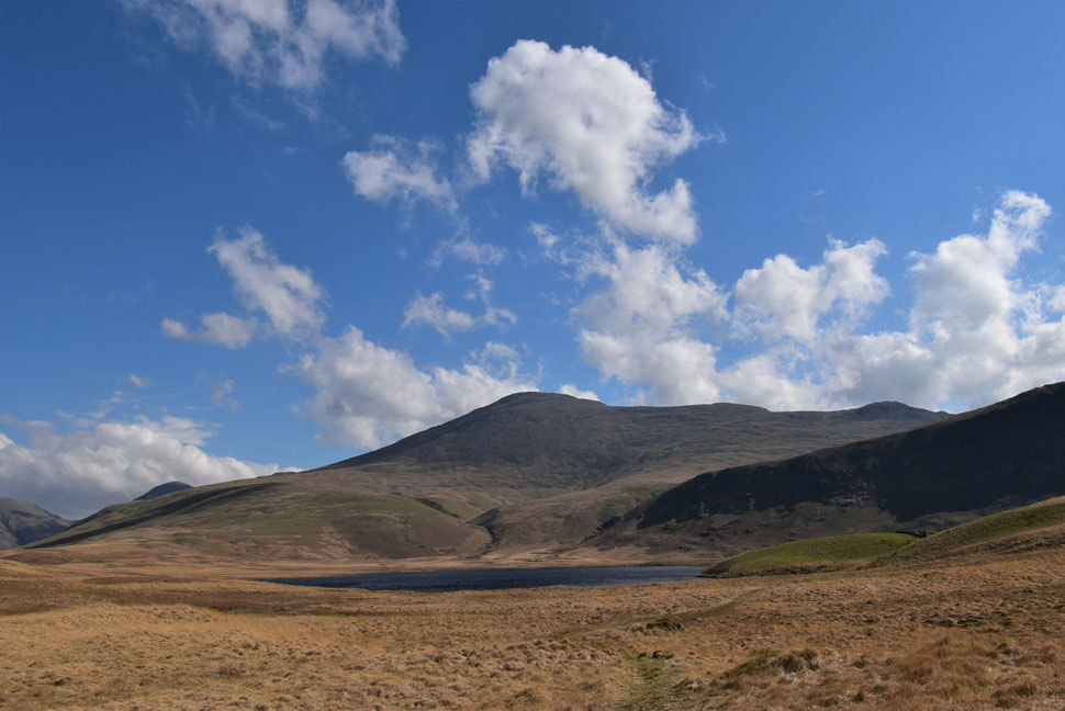
| Yewbarrow, Red Pike (Wasdale) Pillar and Kirk Fell from Burnmoor Tarn. |
| I spent a few moments remembering Tim Oxburgh's Father whose ashes are spread at Burnmoor Tarn. I couldn't think of a more fitting place to rest in peace. |
 |
| Sca Fell, Slight Side and Great How from Burnmoor Tarn. |
| A lot of people including myself come to the Lake District to climb the Wainwrights some of whom pigeon hole Lakeland as the Wainwrights which is completely understandable given the popularity of the fells but off the beaten track are the Birketts one of which is the magnificent Great How where you could probably spend a whole day exploring its summit tarns and views from either Wasdale Head, Eskdale or Boot. |
 |
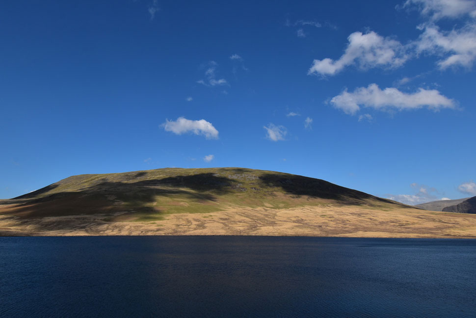
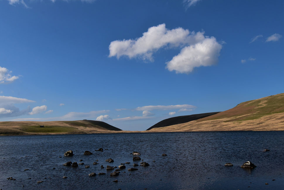
| Burnmoor Tarn. |
| As you can probably see from the surface the wind is starting to get stronger now but the warm sunshine is doing its best to compensate. |
 |
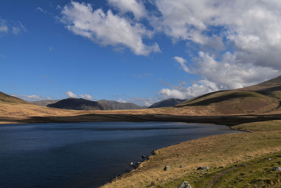
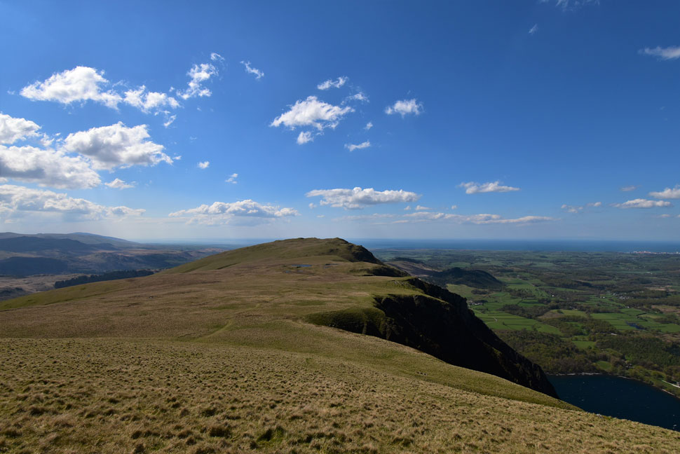
| Another wide angle shot of IIIgill Head. |
| |
 |
| Yewbarrow, Pillar, Beck Head and Kirk Fell from Burnmoor Tarn. |
| We follow the path around the tarn towards Maiden Castle which is the low ground to the right on the opposite side of the tarn from where we'll begin our ascent on IIIgill Head. |
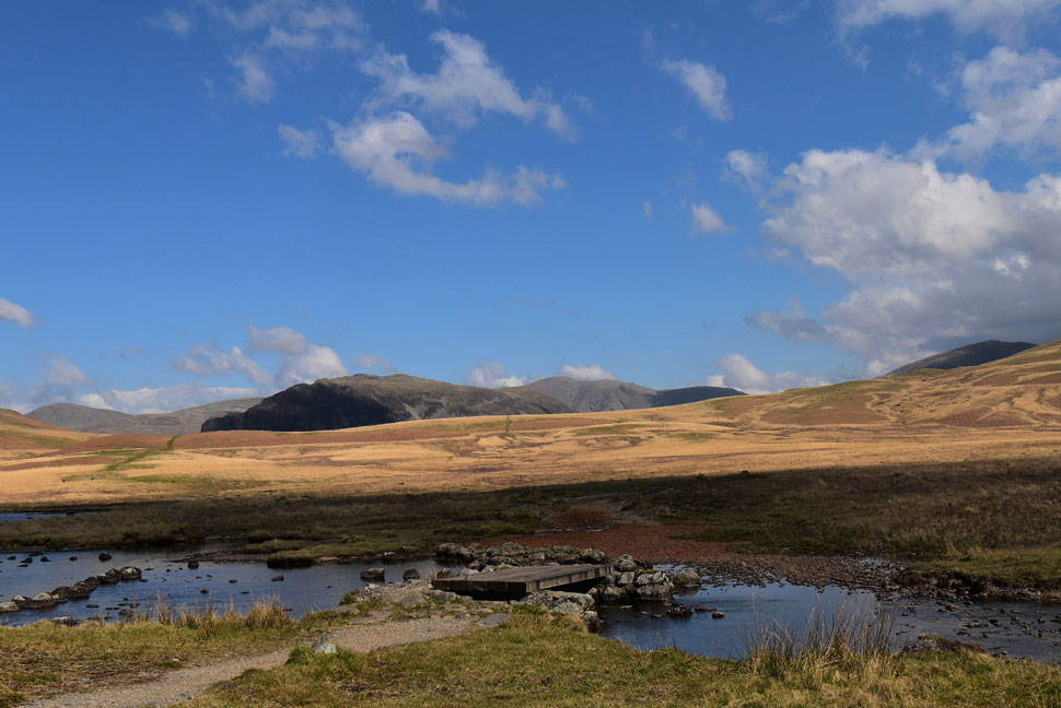 |
| Bulatt Bridge. |
| We cross the tarns outflow via the brilliantly named Bulatt Bridge which today consists of five railway sleepers joined together. |
 |
| From Bulatt Bridge I took this photo looking towards Boat How (left) Miterdale Head (centre) and Tongue Moor (right) |
| As David mentioned you would naturally assume the outflow of tarn would flow into the Miterdale Valley but when the ice sheet retreated during the last ice age it left the tarn just 20ft above the head of Miterdale therefore the outflow flows back to Boot via Whillian Beck. |
 |
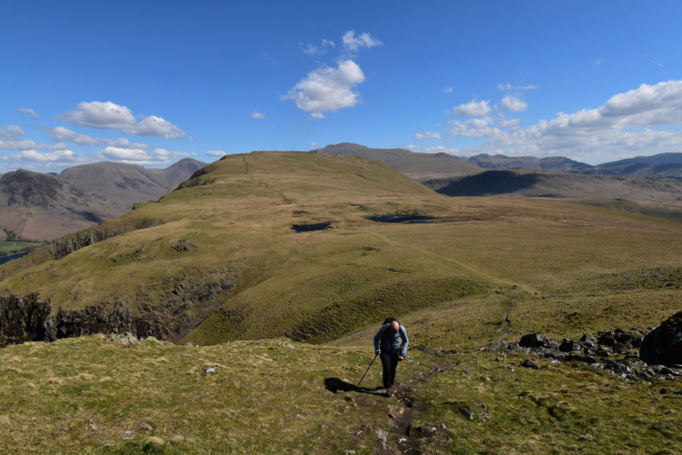
| Heading towards the ascent on IIIgill Head. |
| A few short cuts head directly left up the fell side but we choose to steer right then join up with the stone wall about half way up. |
 |
| Calva decides it's time for a rest. |
| Good idea Calva. |
 |
| Yewbarrow, Pillar, Kirk Fell, Beck Head Great Gable and Lingmell. |
| While David treated Calva to some doggie treats we took in the spectacular view over Wasdale Head. |
 |
| Kirk Fell, Beck Head, Great Gable, Hard Rigg and Lingmell. |
| The views continued to unfold as we made our way towards the stone wall (seen left) |
 |
| Linking up with the stone wall. |
| We started to climb across the fell side passing a couple in doing so before we met the main footpath at the stone wall. From here there's a couple of false summits to contend with but the views back over Wasdale Head made up for it. |
 |
| Scoat Fell, Red Pike (Wasdale) Pillar, Looking Stead, Kirk Fell, Beck Head, Great Gable and Lingmell. |
| Another attraction to the walk was this view for me. |
 |
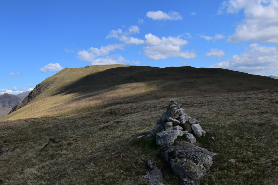
| Whin Rigg from IIIgill Head summit. |
| We passed the subsidiary summit at 590m and soon arrived at the summit cairn at 609m by which time the summit winds were easily in excess of 25mph, The good thing was it wasn't cold (for now at least) so we decided to drop down above an area known as Bell Ribb to eat an early lunch. |
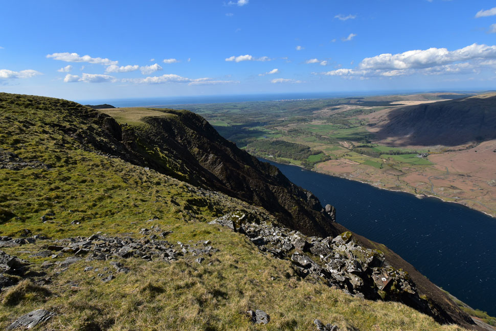 |
| The Wast Water Screes. |
| Taken as we took in the slight descent to eat lunch. |
 |
| Lunch with a view. |
| Here we have Middle Fell, Buck Barrow (in shade) and Seatallan with Haycock seen in the distance far right. It's looking mighty choppy over Wast Water. |
 |
| IIIgill Head and Whin Rigg. |
| After lunch we packed up and headed back towards the summit and began the walk across the saddle towards Whin Rigg. |
 |
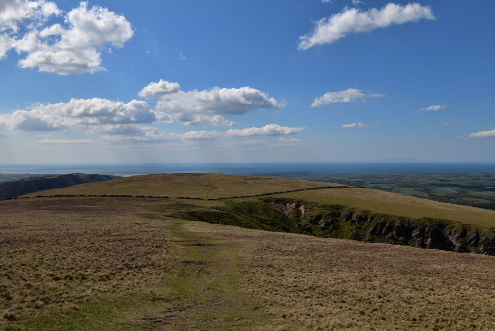
| Whin Rigg. |
| While David, Rod and Calva kept on the main path sometimes I veered off but it was just too windy across to get too close to the edge. |
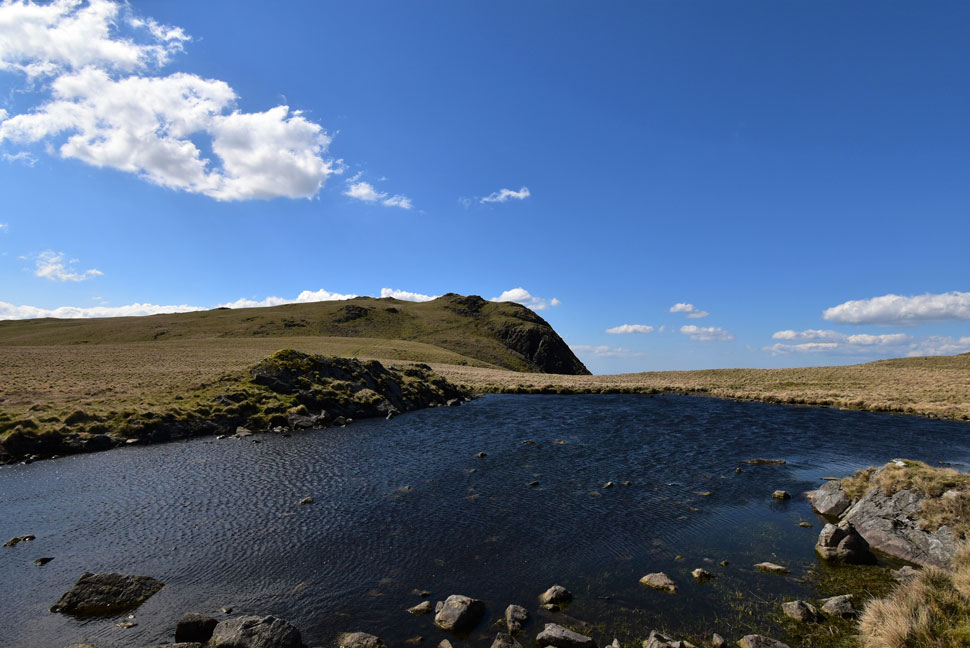 |
| Whin Rigg from one of two nameless tarns below the summit. |
| |
 |
| Looking back on IIIgill Head as we ascend towards Whin Rigg summit. |
| In the time it had taken to cross the saddle the wind had increased where we also noted a slight drop in temperature too "you wouldn't want to stand still for too long here" David shouted over the wind. |
 |
| Looking out over Nether Wasdale towards a distant Irish Sea. |
| We soon reached Whin Rigg summit which was occupied by a young couple sheltering from the wind. It was no biggie in fact we just wanted to lose some height and get out the winds firing line. |
 |
| Irton Fell appears. |
| Seen here beyong the mighty Greathall Gill. |
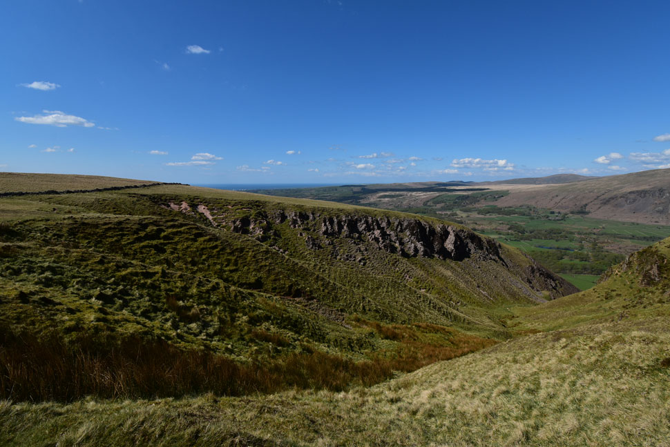 |
| Passing Greathall Gill. |
| |
 |
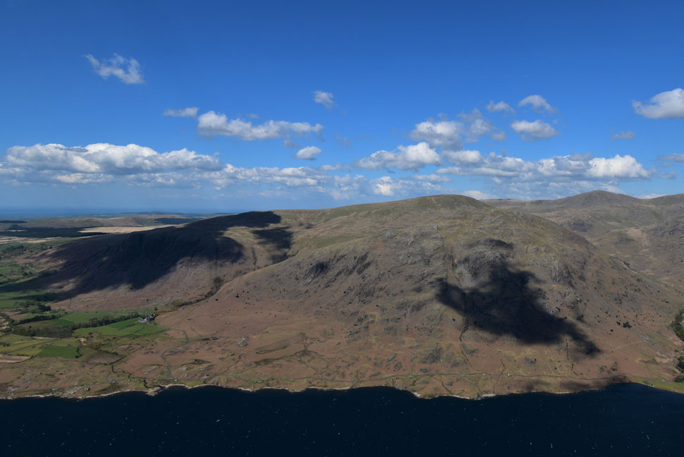
| Buckbarrow, Seatallan and Haycock from Greathall Gill. |
| That's Nether Wasdale baking in the afternoon sunshine below. |
 |
| Whin Rigg from Irton Fell. |
| Despite the shade seen in this photo the more we descended the warmer it got and by the time we reached Irton Fell we were really wishing we'd worn shorts today! |
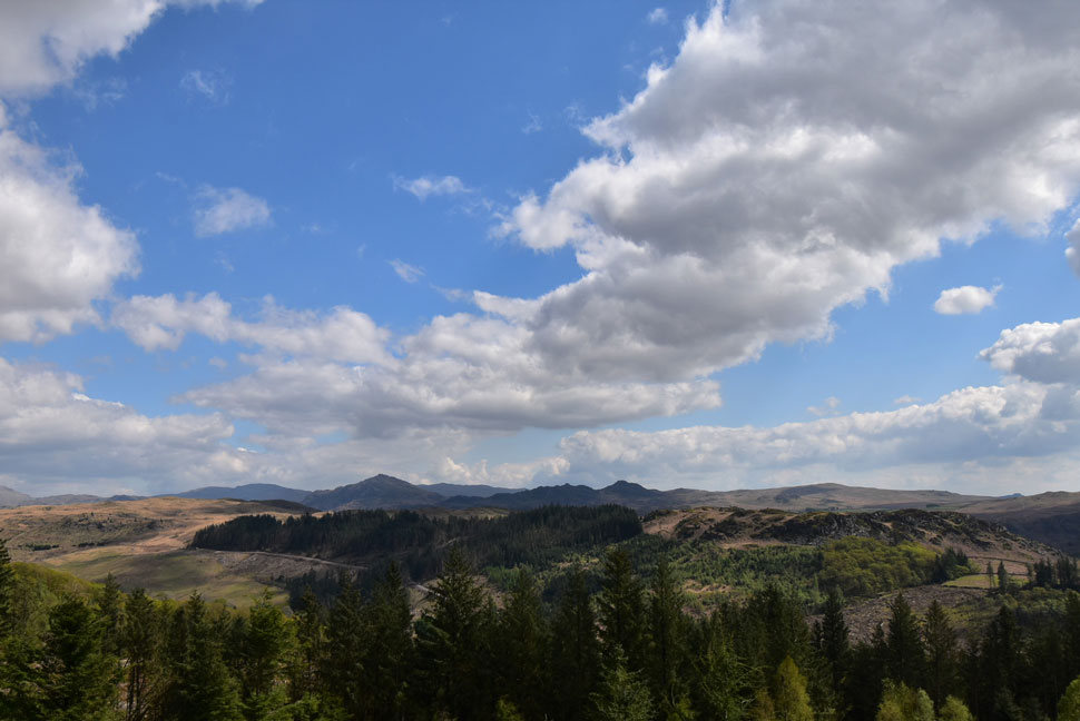 |
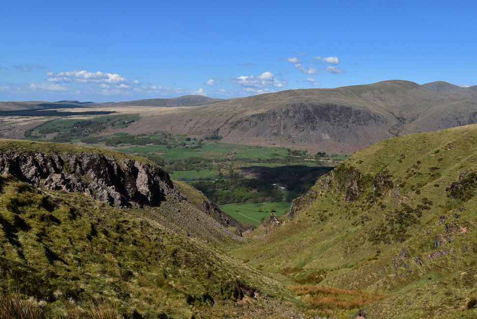
| A distant Harter Fell (Eskdale) and Green Crag seen beyond Miterdale. |
| We continued with descent passing over swollen ground at times until we reached the gate in the wall which would continue our descent via Miterdale Forest seen below. |
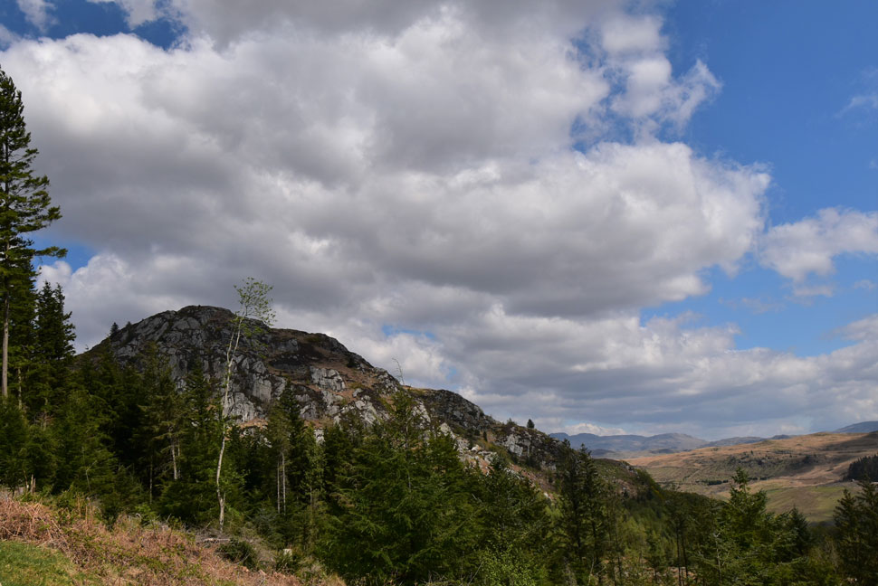 |
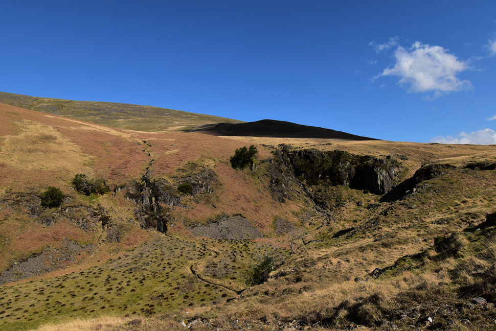
| Great Bank taken from a clearing in Miterdale Forest. |
We continued our descent sometimes in dense woodland or bright sunshine when we would reach a clearing. Trees from recent storms lay where they fell or like branchless matchsticks making the woodland look like at a bomb had hit it. Pine needles littered the floor and descent was easy due to how dry it was underfoot. Miterdale appeared as too did Great Bank which bore all the hall marks of a miniature mountain. We continued to descend through the woodland and through a gap in the trees I spotted the bridge over the River Mite which meandered below. We crossed the Mite only to be met by a local elderly gent who commented "that's a fine looking Whippet" continuing "they still race em at Egremont" to David's surprise. The gent asked us of our route and we filled him in with the details.
Even though we had walked just over 10 miles for some reason it felt longer or so my feet were telling me, David's and Rod's too. A steady incline awaited us as we returned through Giggle Alley noticing that it was starting to cloud over but nothing significant. The path levelled then deepended the other side. By now the gel had wore off and Calva would stop to scratch his eye with a swift brush of his paw "don't worry lad nearly back now" We reached the Eskdale side of Giggle Alley and to our shock found the parking spaces exactly how we left them this morning with just our cars occupying the spaces. Cars were unlocked and Calva was placed onto David's back seat before quickly falling asleep. I used the wall to sit down and remove my dust covered boots before sliding my feet into my north face mids for the journey home. Cloud continued to darken the skies trapping the heat and for the large part I drove back over the Birker Fell road with all the windows down sometimes stopping where I could to take in the view into upper Eskdale where the distinctive summits of Sca Fell and Bow Fell domineered the skyline. |
|
| |
| Back to top |
 |
|