|
High Street from Burnbanks |
 |
 |
14th May 2022 |
 |
|
Rod had asked me to join him and Michael on a Scafell epic but I had to let him down after agreeing to go with my daughter to view a black Labrador puppy in Flint north Wales. Come 10pm Friday evening my daughter Paige text me to say her partner had managed to get time off work and that he'd go instead.
It was too late to join Rod and with no walk planned I hadn't a clue where to walk so I resorted back to a walk I should have done during my week off at the beginning of May, The trouble was I hadn't psyched myself up for it, I'm really going to have to dig deep during this mornings drive north.
It had been forecast a dry day with intermittant sunshine during the morning before turning brighter in the afternoon which suited me to the ground. Todays walk is epic in itself, a walk that I've longed to do for a while where I take on the rolling grassy ancient ridges of the far eastern fells while connecting with nature and losing myself in acres of seclusion. This is High Street from Burnbanks. |
|
| Wainwright Guide Book Two |
 |
| The Far Eastern Fells |
| The range forms across the eastern spirit of Lakeland, providing a splendid full days march at a consistently high altitude, but is, distant to the areas most favoured by the fell walker and is comparatively unfrequented, appealing mainly to the lovers of mountain solitude. |
 |
|
|
|
|
| |
|
Overview |
|
|
| Ascent: |
3,461 Feet - 1,055 Metres |
| Wainwrights: |
5, Wether Hill - Rampsgill Head - High Street - Kidsty Pike - High Raise (Martindale) |
| Visiting: |
4, Four Stones Hill - Low Kop - High Kop - Low Raise |
| Weather: |
A Mild But Cloudy Start Turning Brighter By Mid Morning. Light Winds Across The Summits. Highs of 23°C Lows of 12°C |
| Parking: |
Parking Spaces, Burnbanks |
| Area: |
Far Eastern |
| Miles: |
16 |
| Walking With: |
On My Own |
| Ordnance Survey: |
OL5 |
| Time Taken: |
7 Hours |
| Route: |
Burnbanks - Burn Banks - Four Stones Hill - Low Kop - High Kop - Wether Hill - Red Crag - Raven Howe - High Raise (no summit) - Rampsgill Head - The Knott - Straights of Riggindale - High Street - Straights of Riggindale - Kidsty Pike - High Raise - Low Raise - Long Grain - Measand End - Pultsgill Sike - Measand Beck - Haweswater Shore Path - Burnbanks |
|
| |
|
Parking Details and Map |
|
|
| Nearest Post Code: |
CA10 2RL |
| Grid Reference: |
NY 507 716 |
| Notes: |
Burnbanks is found at the far eastern edge of Haweswater where there is a car park at the entrance to the village on the left (opposite the red phone box) with room for up to eight cars. Popular routes from the car park include Four Stones Hill, Wether Hill or even a walk around Hawsewater Reservoir. |
|
| |
|
Map and Photo Gallery |
|
|
 |
| |
| |
 |
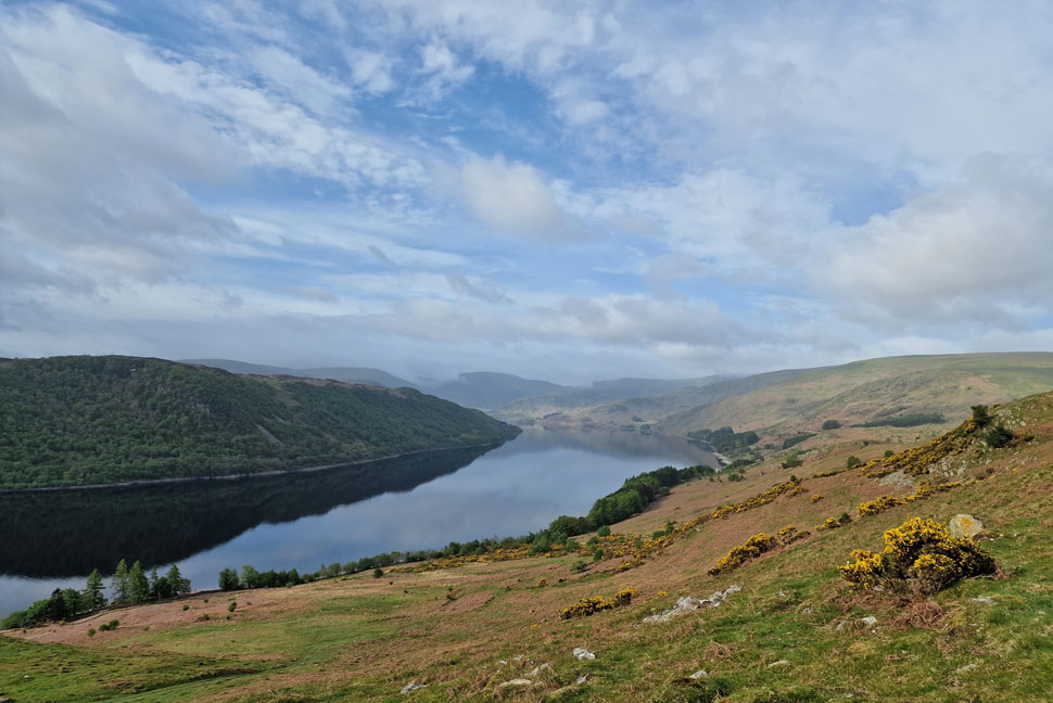
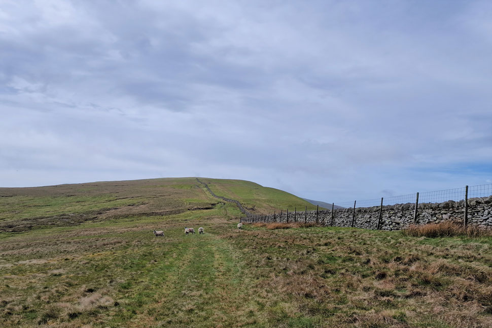
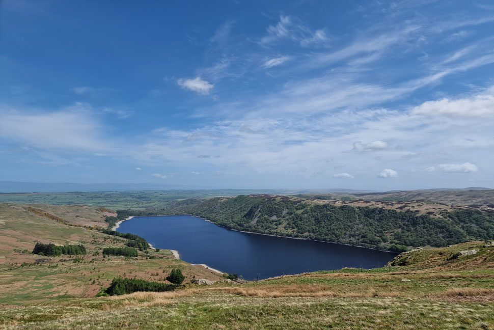
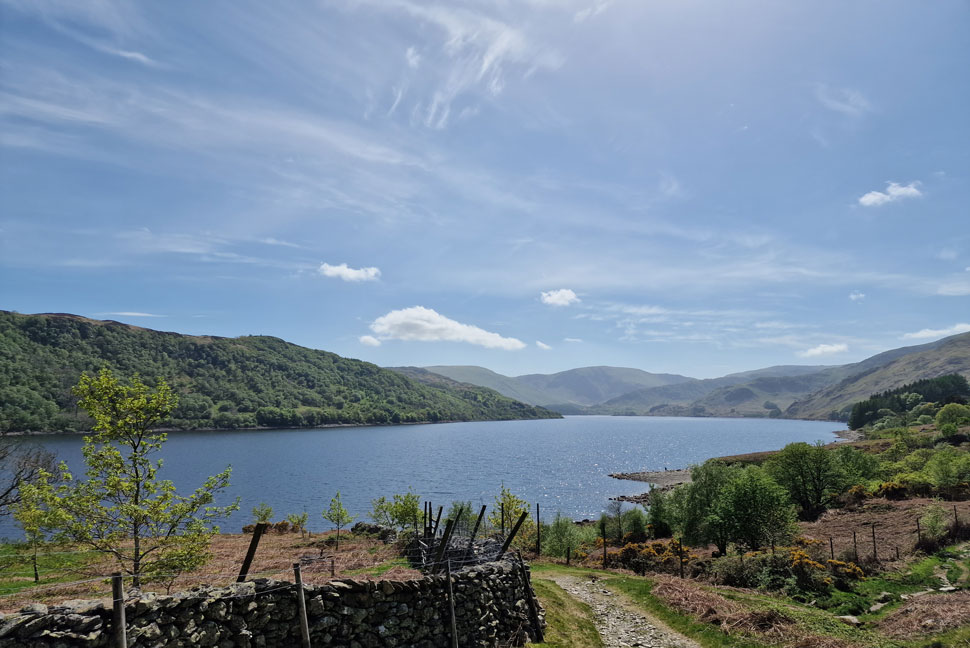
| Wallow Crag and the Haweswater Dam from Burn Banks 07:45am 12°C |
It was an uneventful drive north while trying to psych myself up which was working a treat until I came to the turning for Burnbanks where the lure of climbing High Street via the Rough Crag ridge very nearly got the better of me, but the moment I flicked the indicator up to turn right I'd already committed to Burnbanks. There were only two parking spaces left when I arrived and as I kitted up the last one was taken by two local fishermen who were going to do some fishing on Haweswater. We practically closed our tailgates at the same time but I managed to get ahead while they checked gear.
Passing the familiar red phone box I headed towards the top of the village and joined a dirt track, passed through a gate, then a Deer gate onto open land. Burn Banks can be gained directly via a series of paths which are slowly disappearing as the Bracken starts to take hold. I walk alongside the flank of the hill before joining a smooth grassy path towards its summit. From car to summit no less than fifteen minutes. |
 |
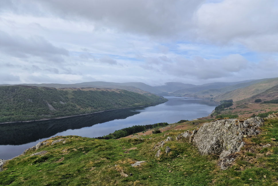
| Haweswater Reservoir. |
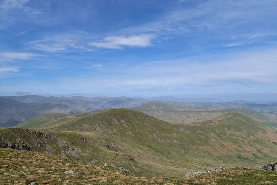
| With the faint profiles of Branstree, Harter Fell (Mardale) Mardale III Bell, the Rough Crag ridge, Low Raise and finally Measand End. I really was expecting it to be much brighter but there's time for it to develop yet. |
 |
| A similar view from Four Stones Hill summit. |
| Great Birkhouse Hill divides Burn Banks from Four Stones Hill and if I'd had the time I'd have explored the many grassy knolls in between but instead I flanked Great Birkhouse Hill to the left until Four Stones Hill was reached. |
 |
| Measand End from Four Stones Hill. |
| Red Crag and Wether Hill can just be seen at the head of the valley over on the right which I will gain via Low Kop and High Kop (out of shot over on the right) |
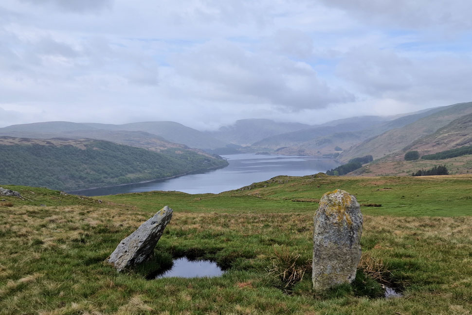 |
| Mardale Head from the standing stones below Fourstones Hill. |
| It's incredibly mild but I can sense a slight drop in temperature as I get higher and for that reason I'm keeping with a long sleeved base layer for now. |
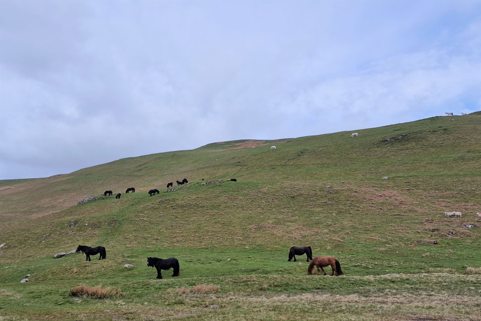 |
| Wild Ponies. |
| I count 23 in all with a few out of shot. I need to be top right where the two white ponies are and to get there I double back passing the un-named Tarn and follow a path to the top of the slope from where the Low Kop ridge is gained. |
 |
| Red Crag, High Kop and Low Kop in the foreground. |
| It's such a pity the sun isn't out but never mind. I'm already starting to feel the seclusion as I leave views of Haweswater behind for the smooth grassy slopes of Low Kop and High Kop. |
 |
| Low Raise, High Raise, Red Crag and High Kop from Low Kop summit. |
| Despite Low Kop being a Birkett its big brother High Kop doesn't make the list but it is credited as a Synge. That doesn't matter when walking is a good as this. It's just me and the morning chorus. |
 |
| Looking back on Low Kop. |
| Instead of brightening up it seems to be getting cloudier and at one point I could even feel spots of rain in the air. |
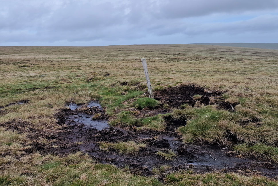 |
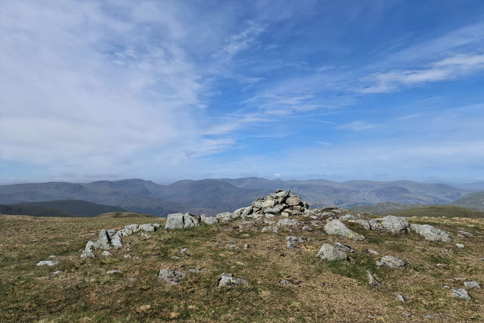
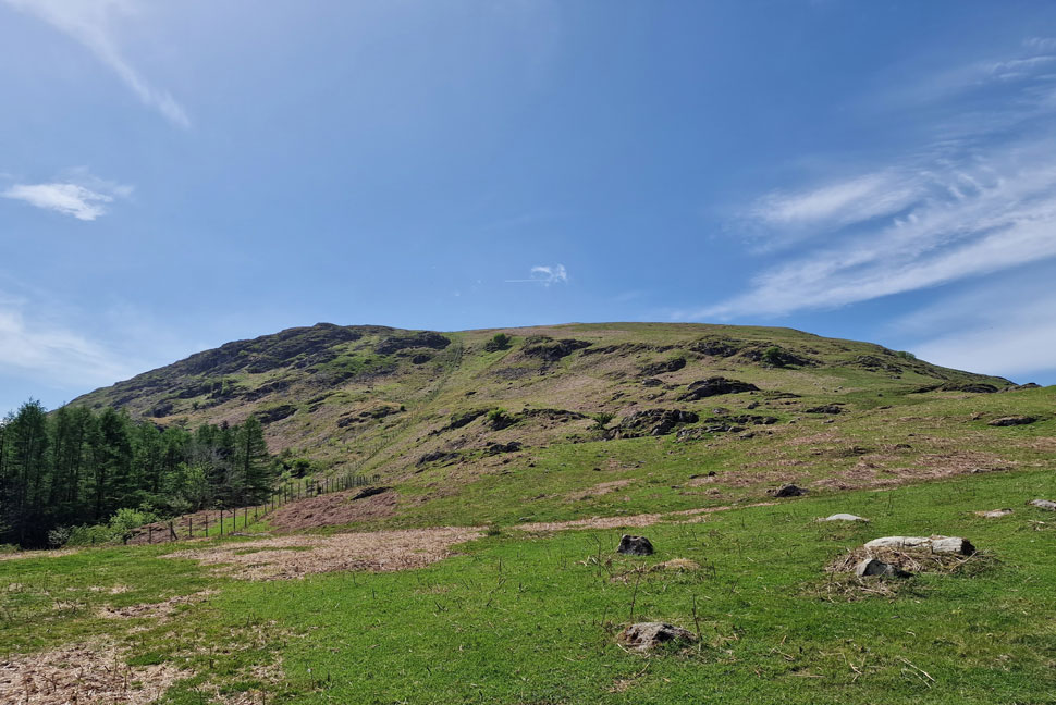
| The not so glamorous summit of High Kop. |
| Marked here by a wooden stake in the ground. Thankfully the spots of rain held and now it's time to leave the path and walk northwards towards Wether Hill summit (you do have the choice to follow the path towards Keasgill Head and then head right for Wether Hill) but I'm taking a more direct approach. |
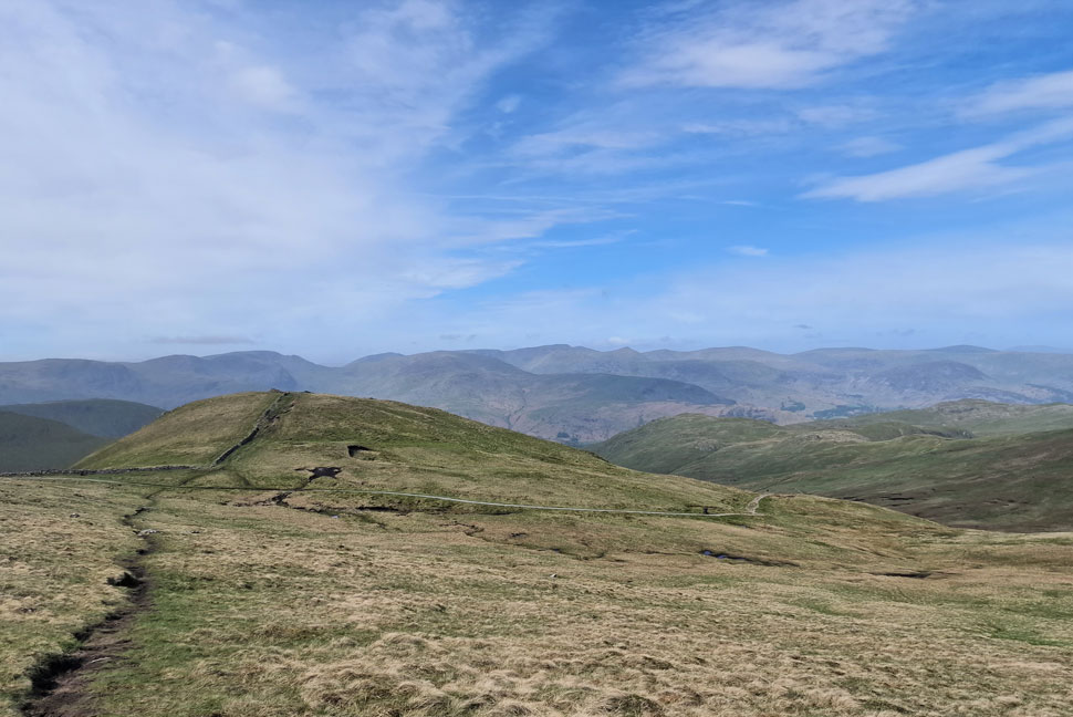
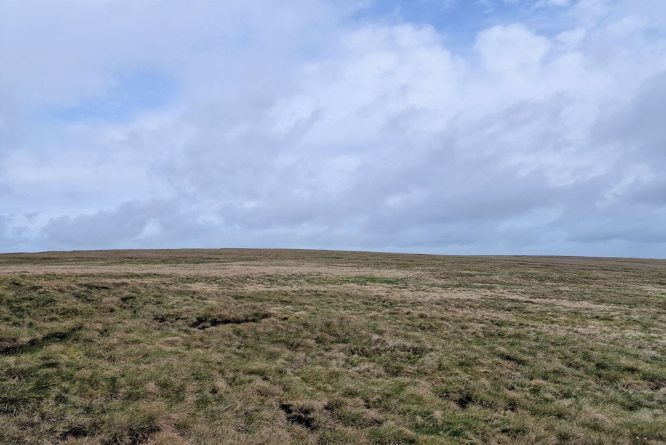 |
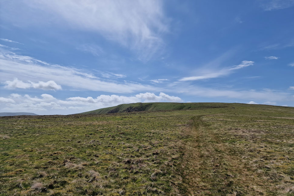
| It might not look it but that's Wether Hill dead ahead. |
| I just need to take care in all this hummocky grass as going over on your ankle here would really ruin my day. |
 |
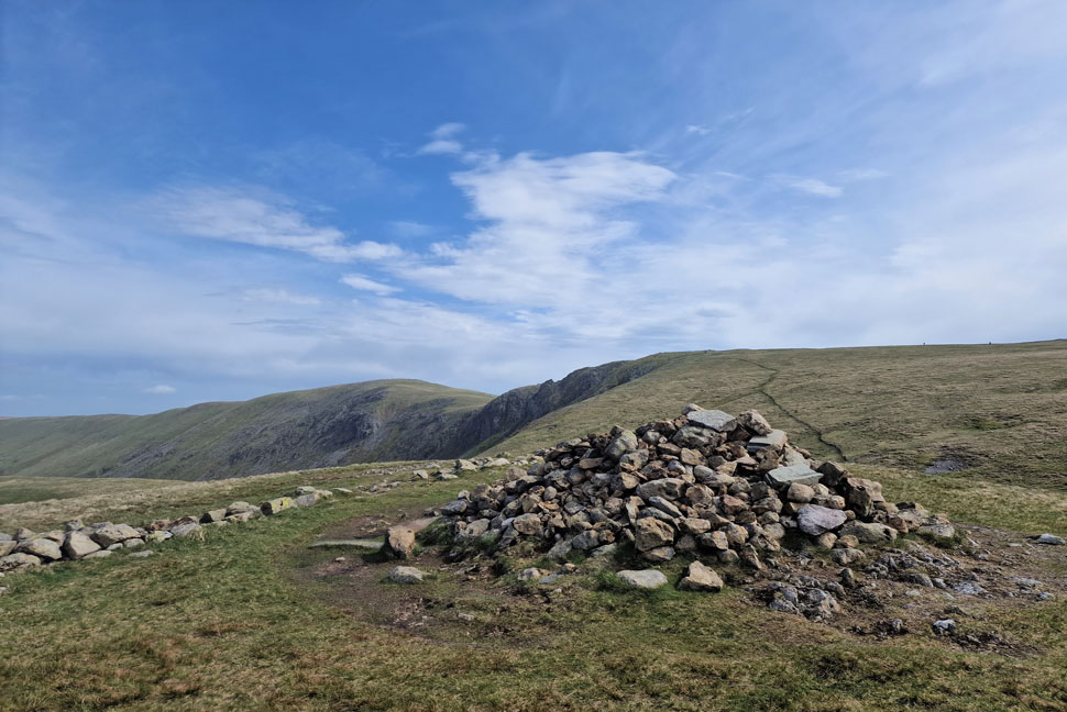
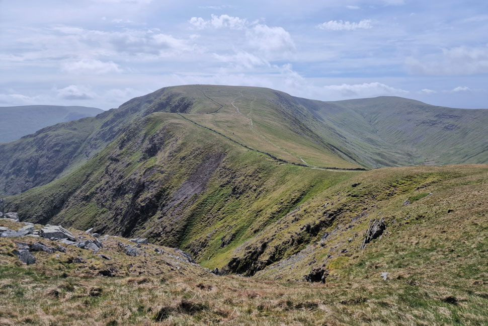
| Red Crag, High Raise (Martindale) and Low Raise from Wether Hill summit. |
| After my pathless approach I soon landed at Wether Hill summit while at the same time scanning the ridge for fellow walkers and sighted no one. Where is everyone! |
 |
| Ascending Red Crag with High Raise and Low Raise in the distance. |
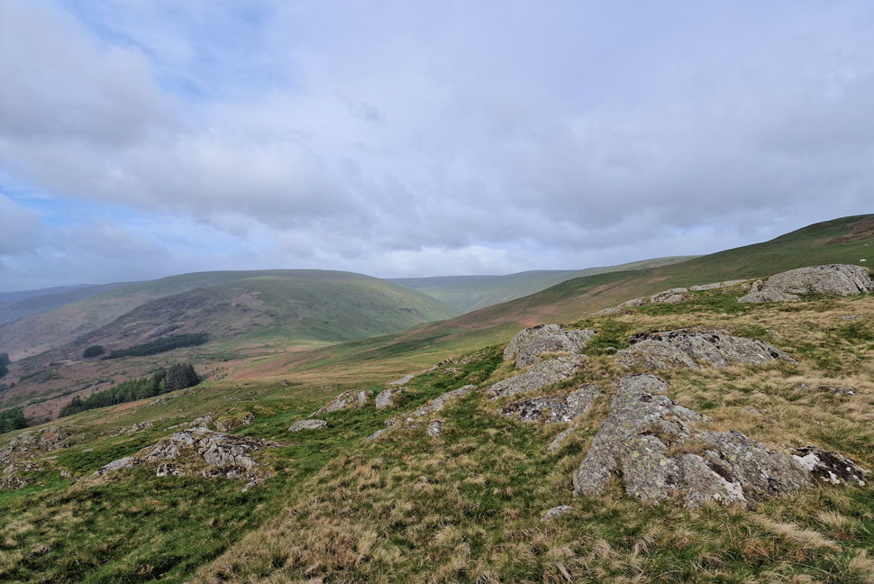
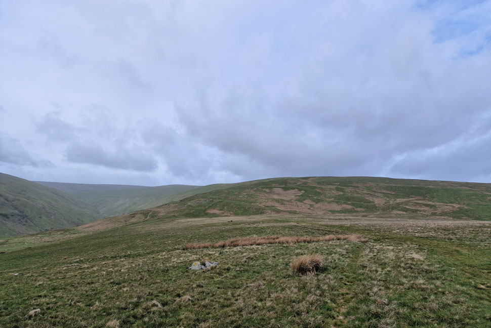
| I left Wether Hill and followed the path down to Keasdale Head where I tried to take in the views into Ramps Gill and Martindale below but the light was so poor and murky the valleys and hills all seemed to gel into one. |
 |
| From Raven Howe the short ascent to High Raise appears. |
Despite there being no photograph I did pop over the fence to summit Red Crag then popped back over a few minutes later. From Red Crag I continued over Raven Howe where I was passed by a fell runner and a quick 'morning' was exchanged.
I actually think it's started to brighten up, better late than never eh. |
 |
| Looking back on Raven Howe, Red Crag and Wether Hill. |
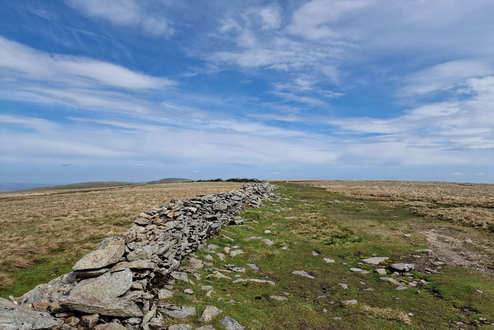
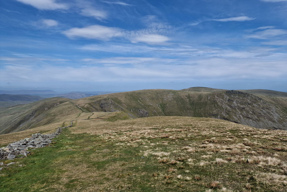
| It's only when I looked back did I realise the significant distance between High Kop and Low Kop. What great walking territory along with Lakeland's 2nd greatest mile 'Wether Hill to High Raise' You can't beat crag underfoot but I'm also very fond of the seclusion that this ridge brings. |
 |
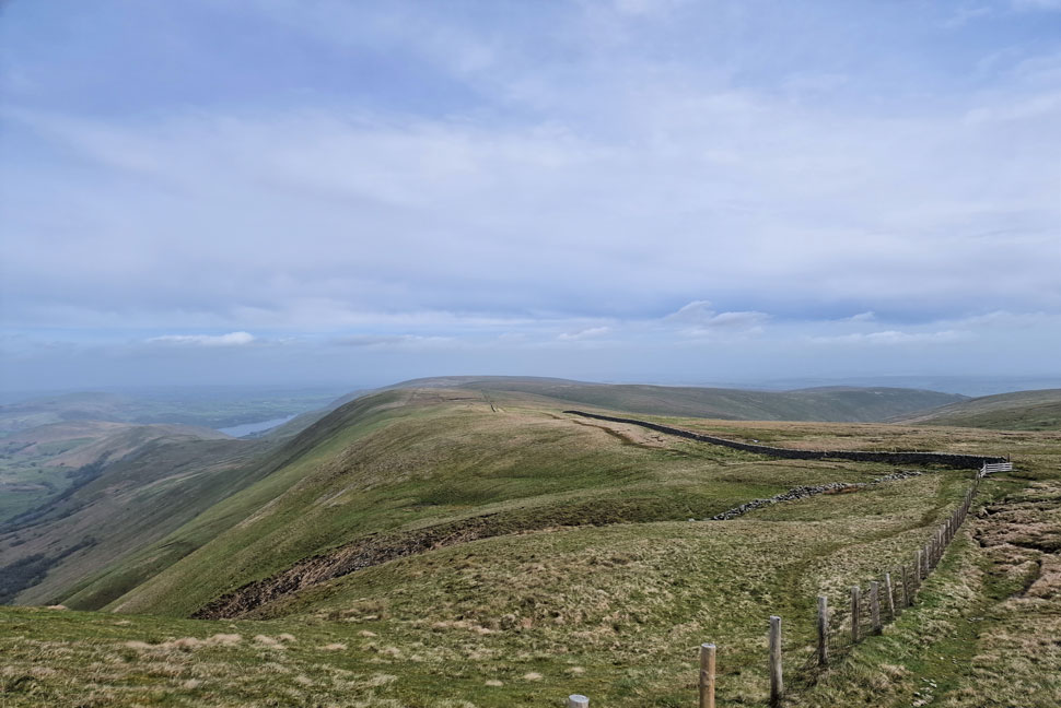
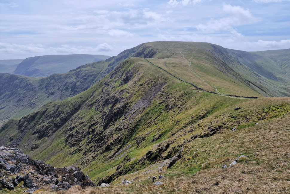
| Kidsty Pike, High Street, Rampsgill Head and The Knott from the descent of High Raise. |
| It was tempting to summit High Raise but I didn't see any point seeing as I'm heading back this way later. Next I head over to Rampsgill Head seen right then afterwards The Knott seen far right. |
 |
| Looking back on High Raise (Martindale) |
| With Wether Hill and Loadpot Hill seen in the distance. |
 |
| From Rampsgill Head... |
| ...I took in the view over the Ramps Gill valley towards Rest Dodd, The Nab and Brock Crags with the eastern fells in the distance. |
 |
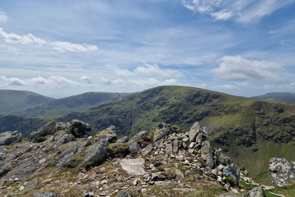
| Rampsgill Head summit. |
| From Rampsgill Head it's a quick descent towards The Knott whose summit you might be able to see to the left of the cairn. |
 |
| Descending Rampsgill Head towards the Knott. |
| By now the paths were starting to get busy having already passed three walkers who looked like they were planning on a wild camp. From my descent I spot two pairs of walkers heading towards the Straights of Riggindale who both completely by-passed The Knott. |
 |
| High Raise (Martindale) and Rampsgill Head from The Knott. |
I'd been doing fine with plenty left in the engine but that didn't stop 'the burn' as I reached the shoulder of the summit. |
 |
| Four more walkers giving The Knott a miss. |
| I just don't get it. |
 |
| High Street seen over the Straights of Riggindale. |
| I descended The Knott and joined the highway towards High Street where funnily enough everyone ahead of me veered off towards Kidsty Pike. Despite the tiring limbs I'm really going to enjoy this ascent. |
 |
| Taking in the view of Hayeswater. |
| With Gray Crag seen left and Brock Crags seen right. |
 |
| Looking back across the Straights of Riggindale. |
| Towards Rest Dodd, The Knott, High Raise, Kidsty Pike and Rampsgill Head. |
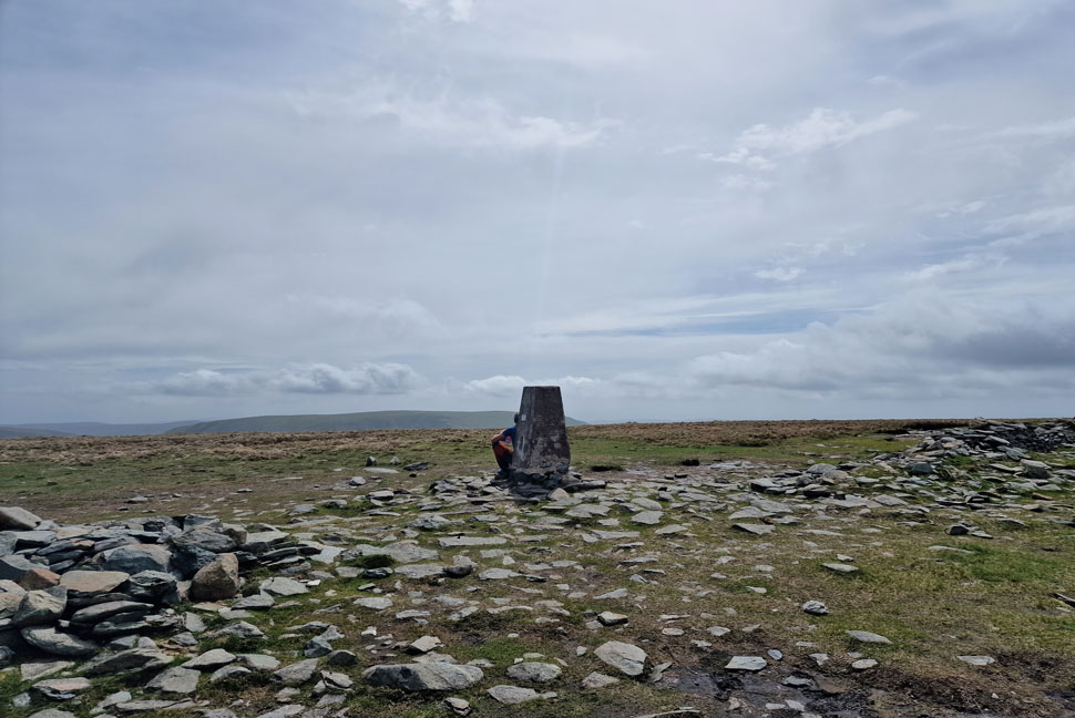 |
| High Street summit. |
| I might have scratched my wedding ring across every summit I visit but no other summit than High Street gets a kiss. As I approached the summit unknown to the summit hogger I kissed my two fore fingers on my right hand then placed them on top of the trig as if to say 'hey it's me again' and before the guy knew it I was probably ten feet away head fixed on reaching Kidsty Pike next. |
 |
| Descending High Street for the Straights of Riggindale. |
| My mind is only occupied by one thing, lunch! which I'll probably take at Low Raise. |
 |
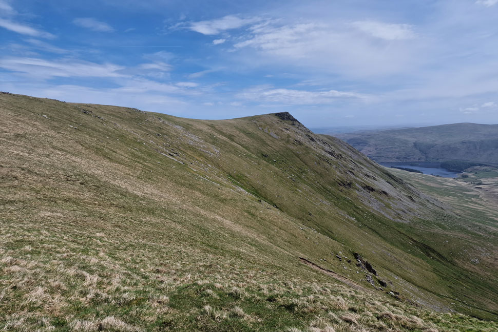
| Looking back on High Street. |
| With Two Penny Crag seen lower left, Short Stile, Long Stile, Caspel Gate Tarn and Harter Fell in the distance. |
 |
| One of the most distinctive and iconic summits in the District. |
| Kidsty Pike. |
 |
| In this photo Hayeswater Gill and Thornthwaite Crag also come into view. |
| |
 |
| Branstree, Mardale III Bell, High Street and Stony Cove Pike from Kidsty Pike summit. |
| Kidsty Pike certainly was the place to be with four already at its summit and four including myself walking towards it. I arrived just as a father and son were leaving who piped up to one another "you were right is was worth it" the gent smiled at me and I smiled back before two more walkers arrived with their dogs. |
 |
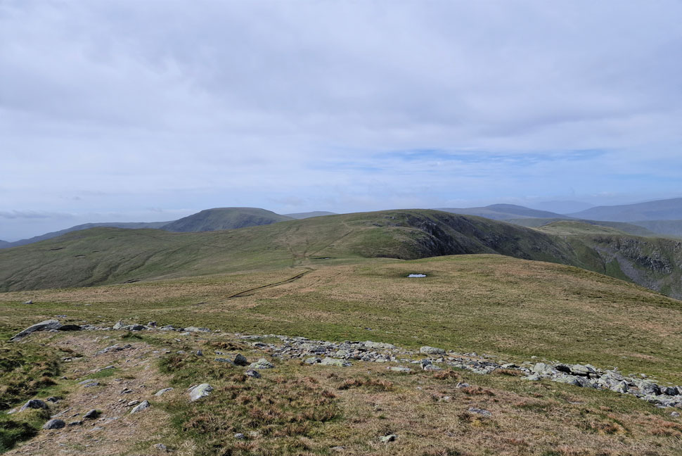
| High Raise (Martindale) from Kidsty Pike. |
| Running on reserves now all I wanted to do was summit High Raise just so I could eat lunch a little further on at Low Raise (seen far right) |
 |
| One last look at High Street, Rampsgill Head and The Knott. |
| Taken from the spot where I committed to High Street one hour and forty five minutes earlier. |
 |
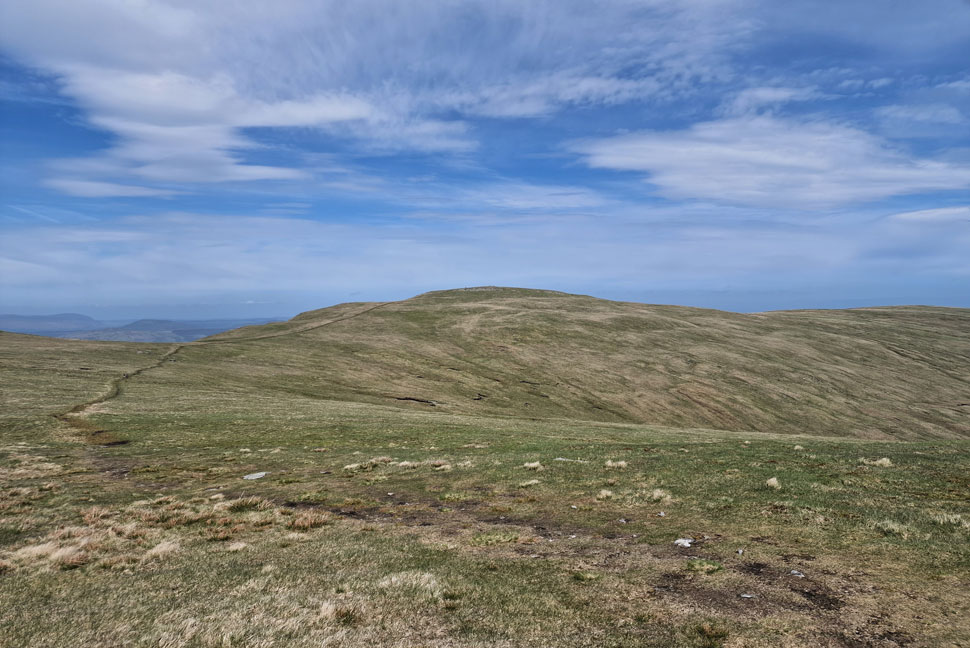
| Low Raise from High Raise summit. |
Like Kidsty Pike High Raise was quite popular but the numbers who had summitted were making their descent and we passed with hi's (and possibly a growl from my empty stomach) On arrival I noticed the shelter on the other side of the cairn was taken up by no other than the three wild campers I'd seen ascending Rampsgill Head earlier.
I was quite envious of the way they laid on their packs with the caps over their heads just soaking it all in. |
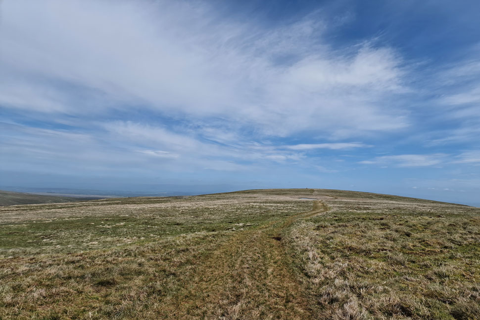 |
| On route to Low Raise. |
| |
 |
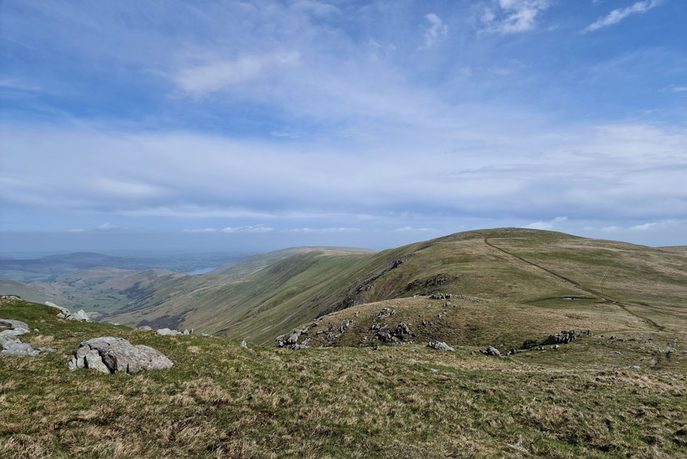
| Looking across to Red Crag and Wether Hill from Low Raise. |
| Lakelands 2nd best mile! |
 |
| A glimpse of Kidsty Pike and High Raise (Martindale) |
| Seen as I approach Low Raise. |
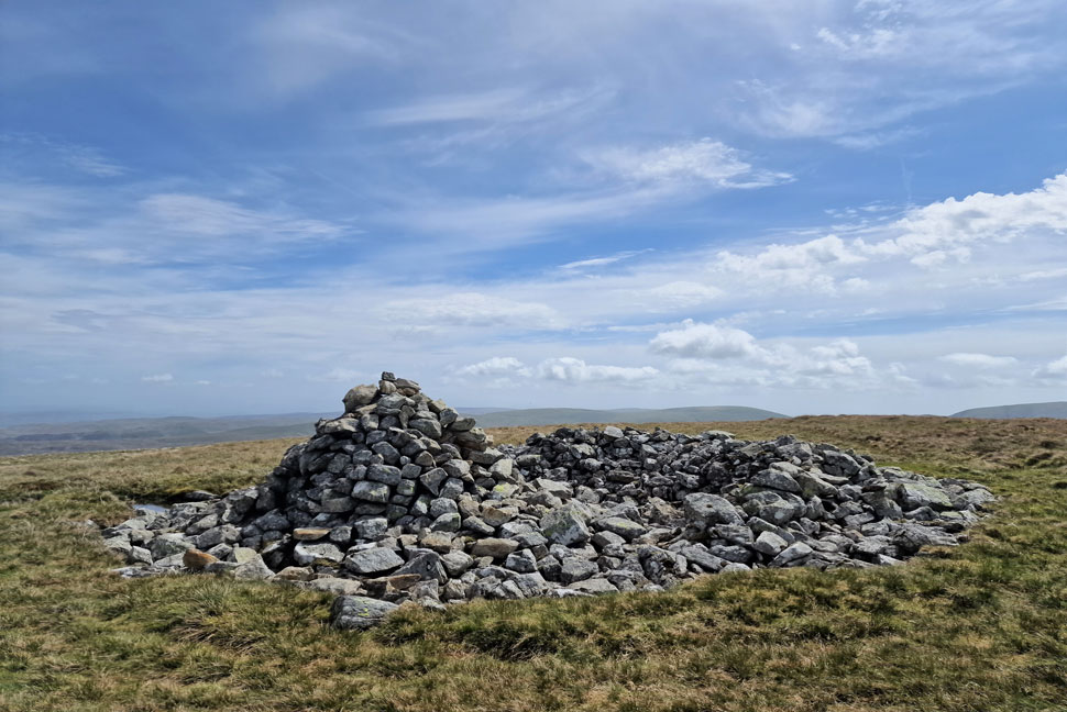 |
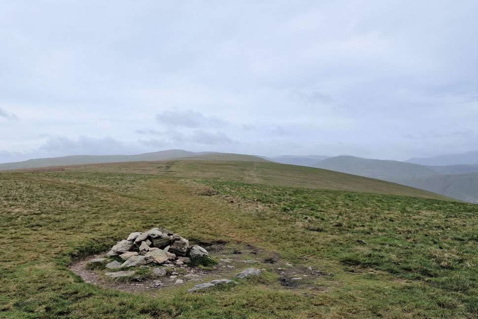
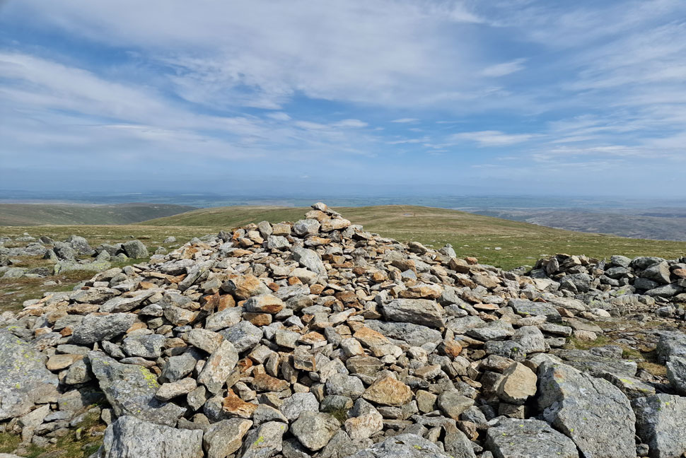
| Low Raise ancient summit cairn. |
| I marched towards Low Raise knowing I could re energize and that all of the hard work was behind me. Not fifty feet from the cairn a chap and his dog appeared from nowhere and made his way towards the cairn, of all the times and places I thought. I could have kissed the chap as he strode past and disappeared as quickly as he appeared! Strange and odd but I was thankful that I now had the shelter to myself. |
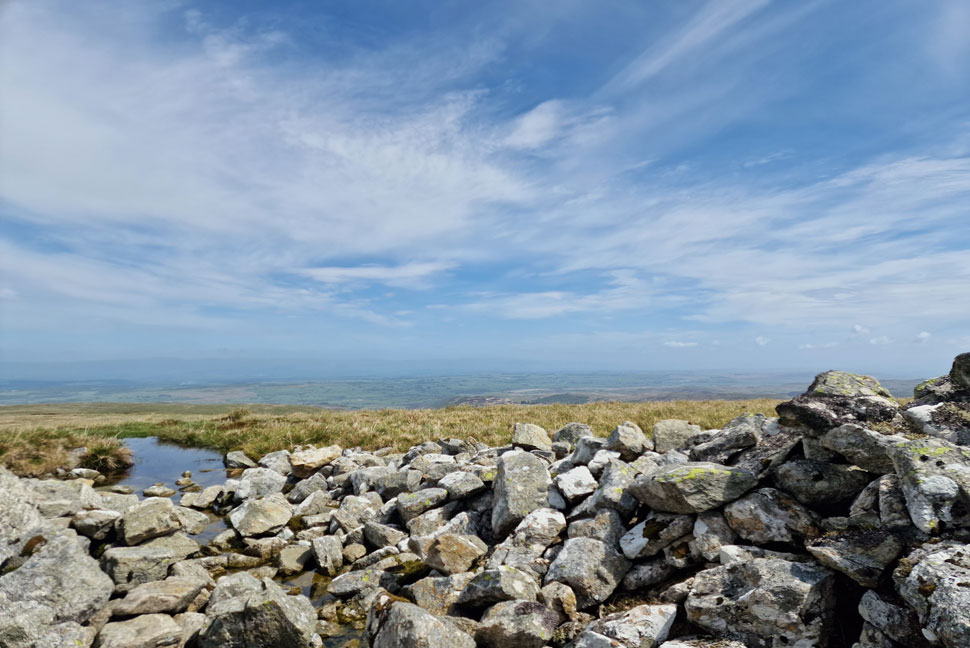 |
| Lunch with a view. |
I downed pack and eased myself down into the shelter finding purchase on a rock seat that wobbled when I sat on it, it was like sitting on the kings throne. What wind there was the shelter took care of it as I chomped hungrily into my lunch while taking in the view of a pool about a mile away which shimmered in the midday heat, I sat up to see how far the chap had gone but he'd well and truly vanished.
After lunch I groped what I had left of my 3ltr bladder and found I easily had half a litre left, if anything I thowt, I was under hydrated and maybe it showed. The good news was I still had a four mile walk back to Burnbanks and I could slurp at will which was just as well as the temperature was creeping well into the twenties by now. |
 |
| Taking in the view over Keasgill Head. |
| With Red Crag seen left, High Kop and Wether Hill seen right. |
 |
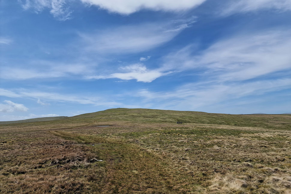
| Looking back on Low Raise. |
| Taken as I pass over Long Grain. |
 |
| Hawsewater Reservoir comes into view. |
| Which means I'm about to descend Measand End. |
 |
| Looking back on Measand End. |
| Long Grain rolled over the shoulder of Measand End which despite its steepness offered fantastic views over Four Stones Hill and Haweswater. |
 |
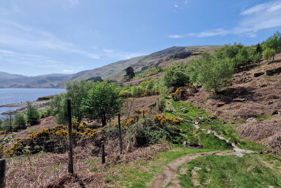
| Wallow Crag and Hugh's Laithes Pike from the Haweswater shore path. |
| After the descent of Measand End my plan was to head over to Measand Beck then follow a footpath down to the shore path but the area was full of families enjoying the waterfalls and seeing that there was a gate in the deer fence to my immediate right I descended via Pultsgill Sike instead which probably added an extra ten minutes walking time but I was enjoying the sunshine too much to complain. |
 |
| Looking back on Measand End. |
| The black dot seen on the shoreline is one of the fishermen who had parked next to me this morning. |
 |
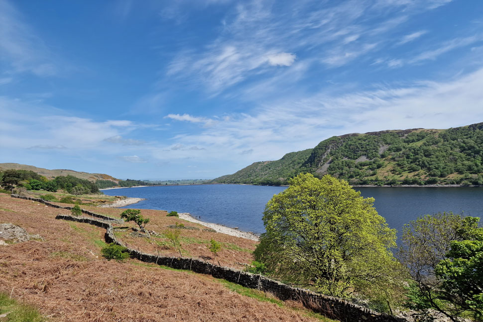
| A glimmering Haweswater Reservoir. |
| The last view of Haweswater before I enter the woodland for the last half mile before Burnbanks is reached. |
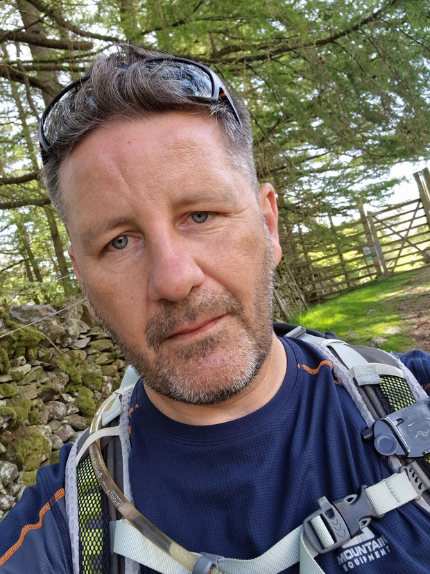 |
| Yearly selfie. |
| |
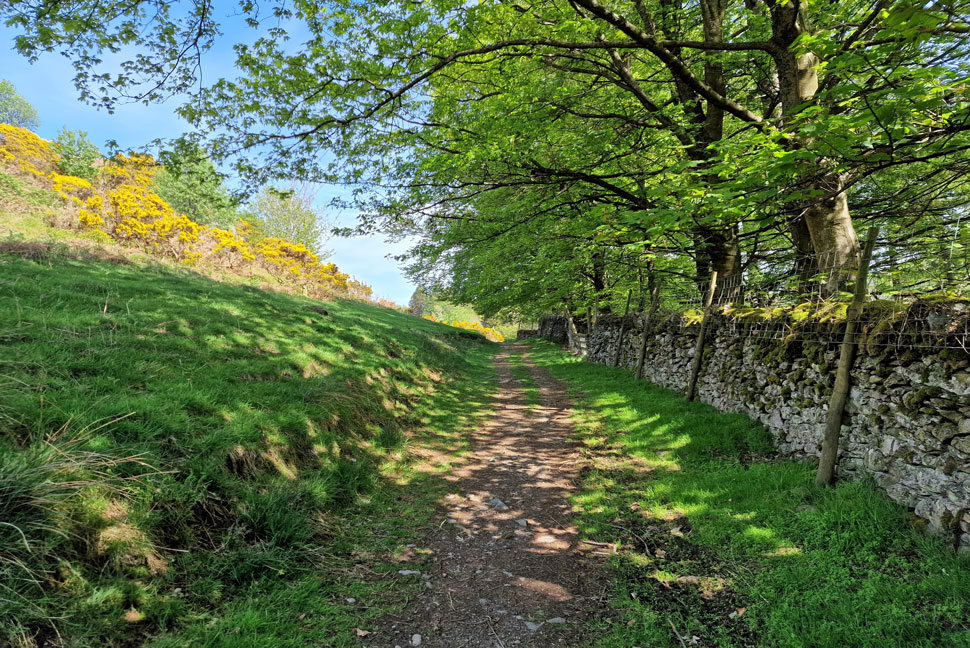 |
| Almost back at Burnbanks. |
| Thinking back I didn't want that last mile to end, I knew by this time tomorrow it was forecasted to cloud over again and everything that I'd experienced today would be confined to memory, the sort of feeling that leaves a lump in your throat and butterflies assaulting your stomach. I eased off the gas and let the warm sunshine burn my calves and tinge the backs of my ears. Sheep grazed without a care in the world trotting forward before settling down on the grassy bank. Sunlight spilt through the woodland canopy and for the first time since this morning I was thankful of the shade.
I opened the latch on the deer gate and then passed through the second gate just as I had this morning only now there is tarmac underfoot. Shortly after I heard the gates latch open again but I didn't look back because my car was in sight and my feet ached. You can imagine my face when I realised that the guy who had opened the gate behind me was the same guy who had selflessly let me have the summit shelter of Low Raise to myself. I tried to catch his attention to maybe thank him as a conversation opener but he just smiled and lead his dog down the footpath towards Naddle Farm. |
|
| |
| Back to top |
 |
|