|
A Circuit of Bretherdale from Shap Road Summit |
 |
 |
6th May 2023 |
 |
|
It was David who suggested we plan a walk on the hills overlooking the Bretherdale valley, which is tucked away between the M6 and A6 west of Tebay. Anyone travelling north along the M6 between junction 38 and Tebay Services will notice the trigged summit of North Side, situated a mile and a half away from the motorway services.
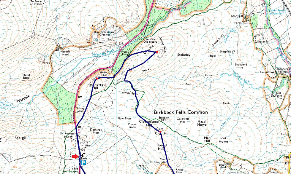
The initial plan was to head to Crag Hill via Clovenstone Hill and continue south easterly along the ridge as far as North Side but the route was re-jigged to include Packhorse Hill and Dryside which both overlook the A6 and Shap Pink Quarry.
It's fair to say we're all fond of the isolation that the Far Eastern fells around Shap and Wetsleddale provide, but Bretherdale was another level. A valley similar to that of Swindale without the footfall, if you're looking for tranquility and solitude, look no further than the Bretherdale valley. |
|
|
| Ordnance Survey OL7 |
 |
| South Eastern Lakes |
| |
|
|
|
|
| |
|
Overview |
|
|
| Ascent: |
1,376 Feet - 419 Metres |
| Visiting: |
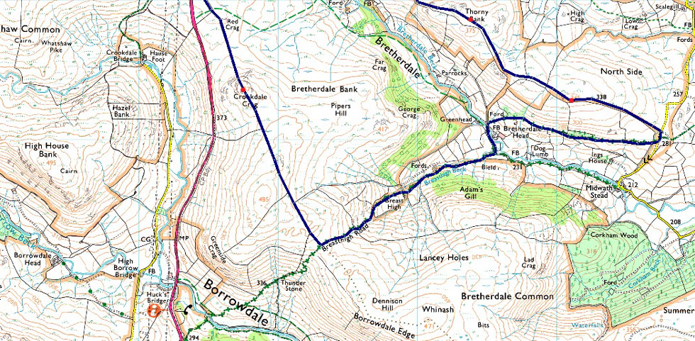
6, Packhorse Hill - Clovenstone Hill - Dryside - Crag Hill - Thorny Bank - North Side |
| Weather: |
Hazy Start, Clearing To Leave High Level Cloud & Spells Of Sunshine. Highs of 19°C Lows of 13°C |
| Parking: |
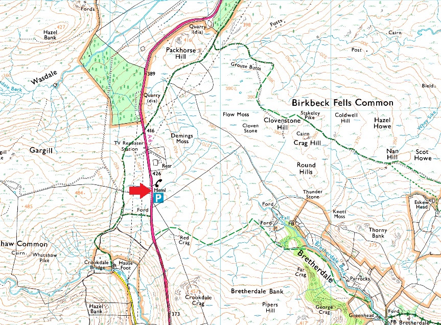
A6, Shap Road Summit |
| Area: |
Eden District |
| Miles: |
8.6 |
| Walking With: |
David Hall, Rod Hepplewhite, Michael Cox & Calva |
| Ordnance Survey: |
OL7 |
| Time Taken: |
4 Hours 45 Minutes |
| Route: |
Shap Road Summit - Old Shap Road - Packhorse Hil - Old Shap Road - Dryside - Clovenstone Hill - Crag Hill - Round Hill - Knott Moss - Thorny Bank - North Side - Bretherdale Head - Breasthigh Beck - Breast High - Breasthigh Road - Crookdale Crag - Shap Road Summit |
|
| |
|
Parking Details and Map for Shap Road Summit |
|
|
| Nearest Post Code: |
CA10 3TE |
| Grid Reference: |
NY 553 706 |
|
| |
|
Map and Photo Gallery |
|
|
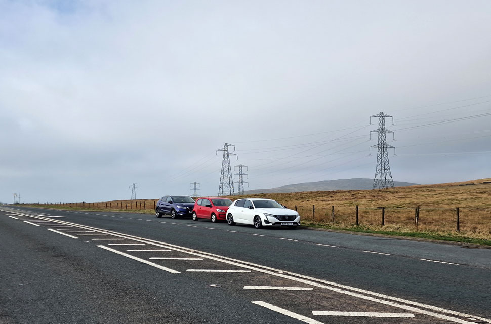 |
| A6 Shap Road Summit 8:00am 13°C |
Despite today being the first day of the Bank Holiday weekend, we were the first to arrive at the layby at Shap Road Summit, with only the odd car or motorbike passing as we kitted up. The frustrations of the previous forecast extended into this morning as we struggled through the haze to point out today's walk with only a rough outline of the route we would be following.
If those pockets of hazy blue skies between the clouds were anything to go by, we might be in for some brightness throughout the morning. We'd all done our own research, mostly using Google Earth, where we found narrow trods linking summits, which actually turned out to be more significant than what we had seen through our computer screens, which was great news for navigational purposes. We had all opted to wear long walking trousers given the nature of the grassy, potentially wet paths, which turned out to be nowhere near as wet or boggy as we imagined. |
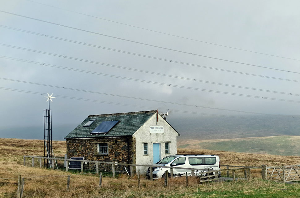 |
| Shap Fell Bothy. |
| We quickly passed Shap Fell Bothy, which looked to be occupied, confirmed by a young boy who appeared in the doorway as we passed. |
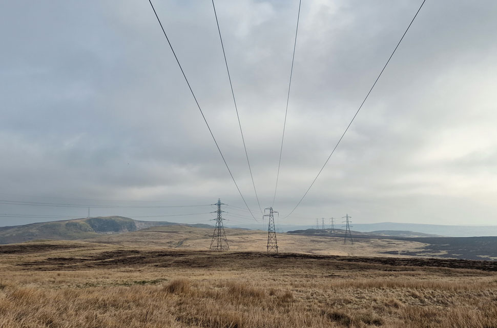 |
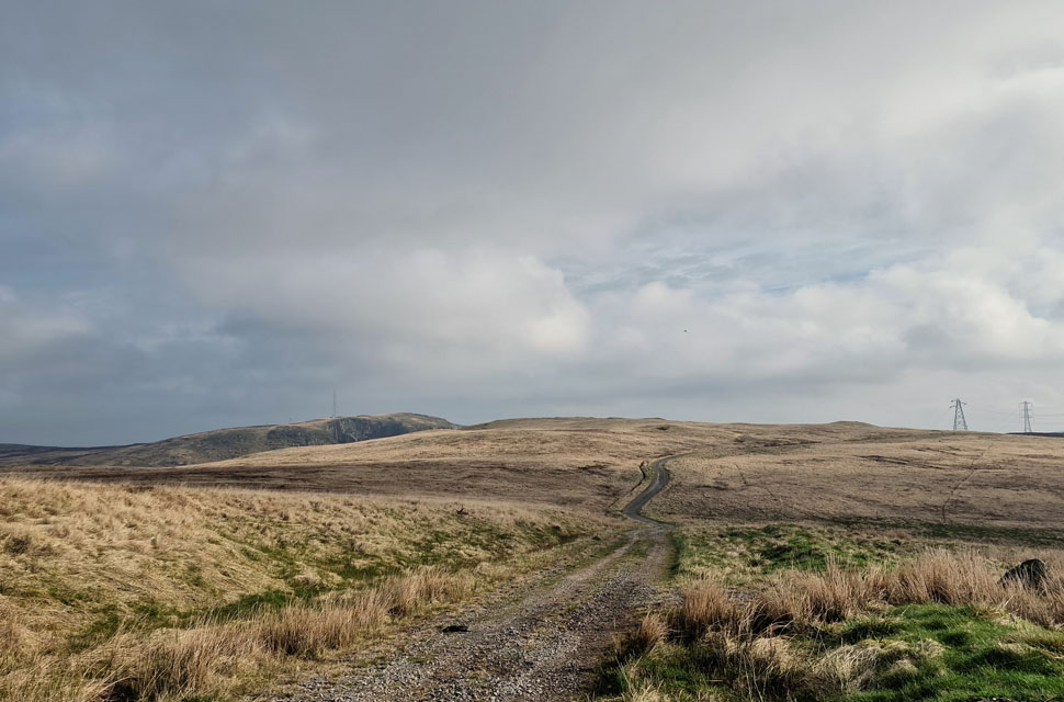
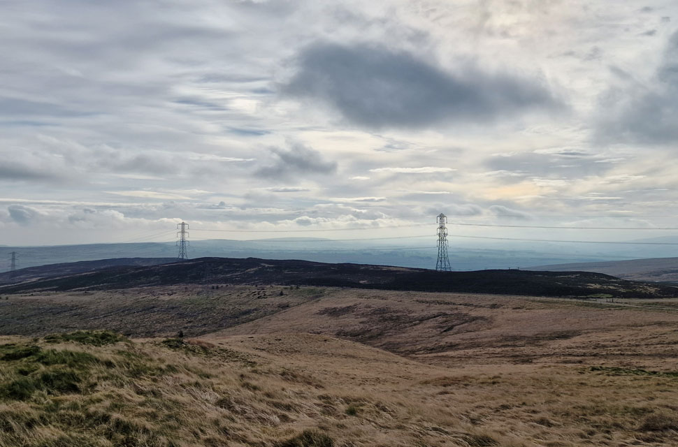
| The view towards Shap Pink Quarry (left) Packhorse Hill (centre) and Dryside (right) |
| If you stop to stare, you can imagine a time before the pylons and powerlines, but for me personally, I don't think they detract anything from the place to much other than a low 'buzzing' noise you get when you walk directly beneath them. |
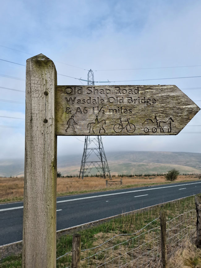 |
| Leaving the A6 at the sign posted 'Old Shap Road' |
| Which of course, would have been the original road that linked Kendal with Shap whose origins date back to the fourteenth century. |
 |
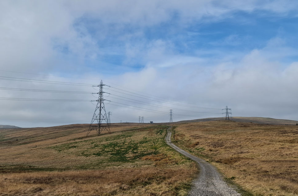
| Shap Pink Quarry and Packhorse Hill from Old Shap Road. |
| We had only left the cars about ten minutes ago and already the those gaps in the cloud are getting wider to reveal welcome sunshine. |
 |
| Looking back along Old Shap Road towards Shap Fell Bothy. |
| With Whatshaw Common seen over on the right. |
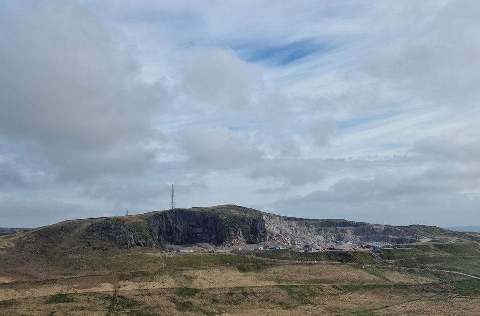 |
| Shap Pink Quarry from Packhorse Hill summit. |
| We left the comforts of Old Shap Road and made a pathless ascent onto Packhorse Hill summit, which was the only summit where we had to wade over grassy tussocks and divert around the odd bog. |
 |
| The view towards Little Yarlside (left) Great Yarlside (centre left ) Wasdale Pike (right) and Hazel Bank (foreground) |
| From Packhorse Hill summit. |
 |
| Dryside from Packhorse Hill summit. |
| With the heather covered Dryside next we left the summit of Packhorse Hill and joined a farmers quad track back towards Old Shap Road from where we made our way to Dryside summit seen as the rock knoll over on the left. |
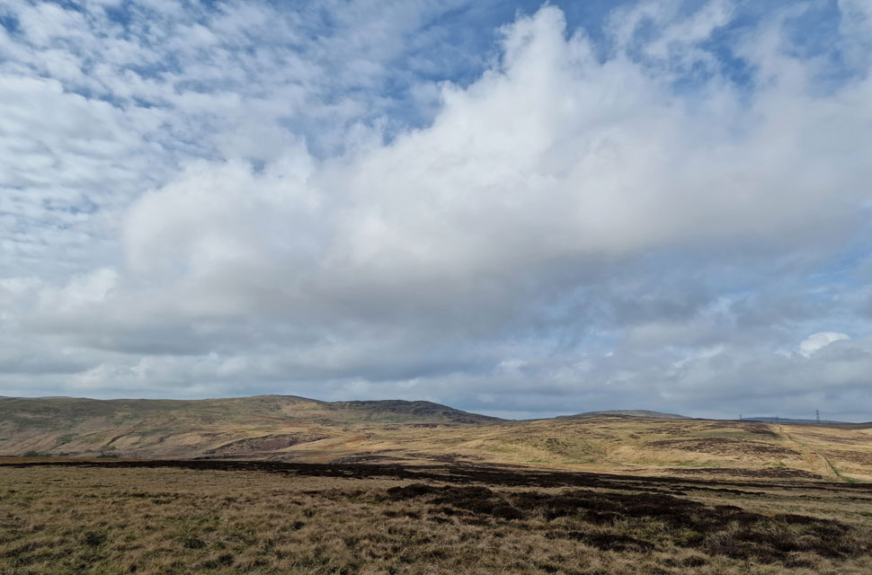 |
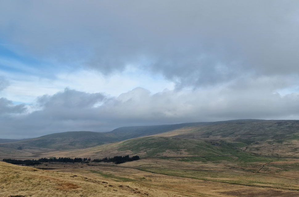
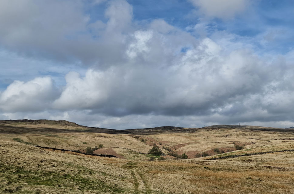
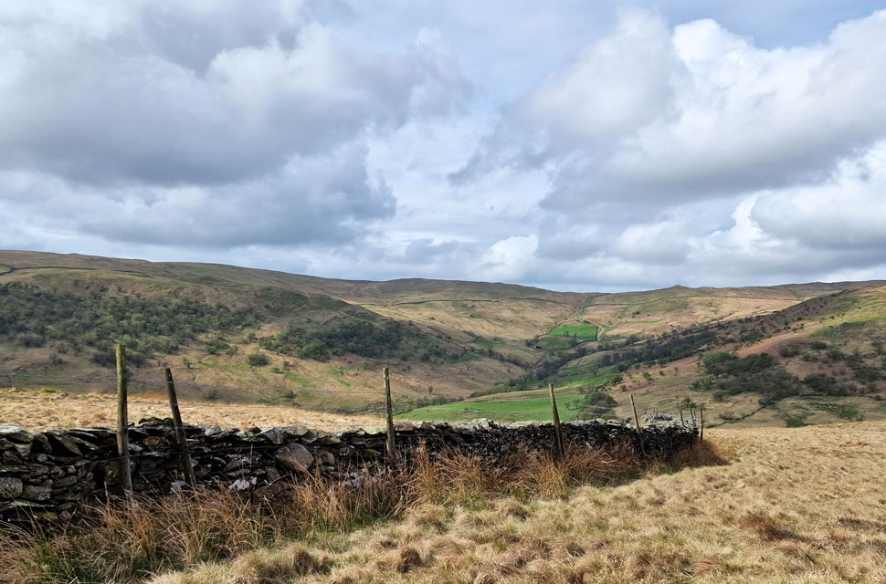
| Looking across the moorland towards Crookdale Crag from Dryside. |
| Todays final summit. |
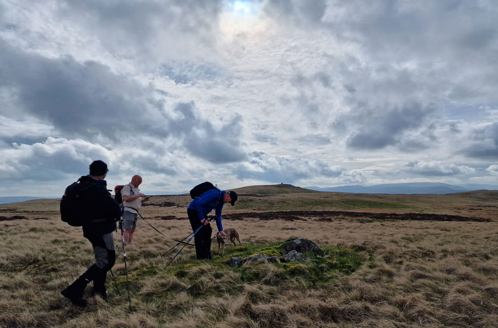 |
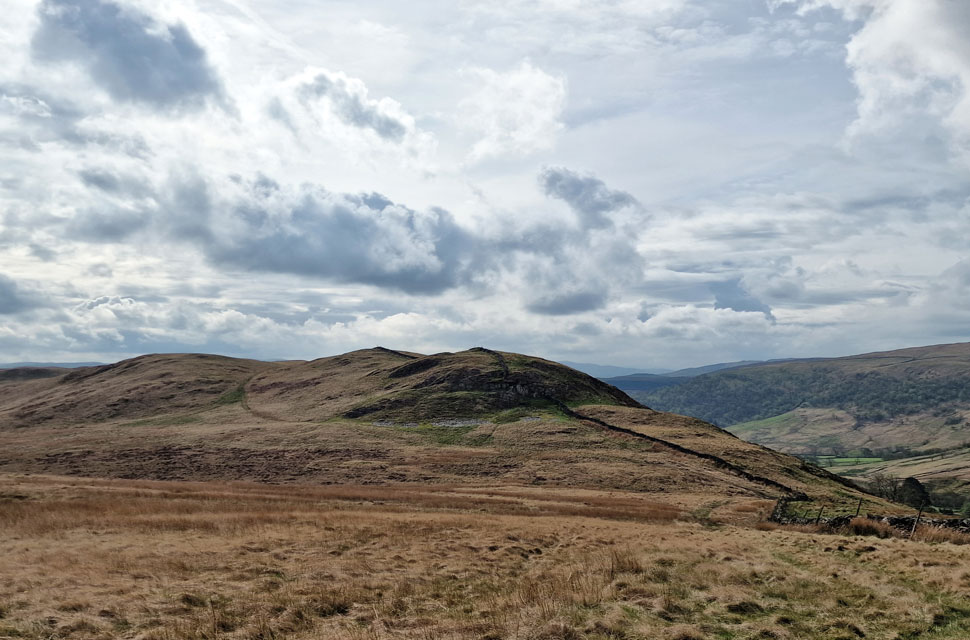
| Crag Hill from Clovenstone Hill. |
We made a pathless descent from Dryside and joined the track, which rose gently along the flanks of Clovenstone Hill. Spotting the summit from the track we made our way over while keeping an eye out for the Clovenstone. As soon as the words "it should be that way" left David's mouth, we spotted the top half of the stone lying about 350 yards west of the summit. "Mind if I go and take a look while you guys wait here?" I asked? Nah, go for it; we'll lose some layers while you're working up a sweat. "Cheers, lads!" |
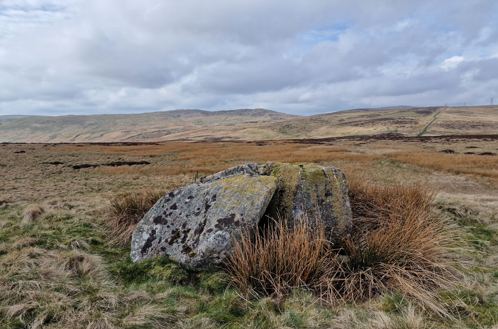 |
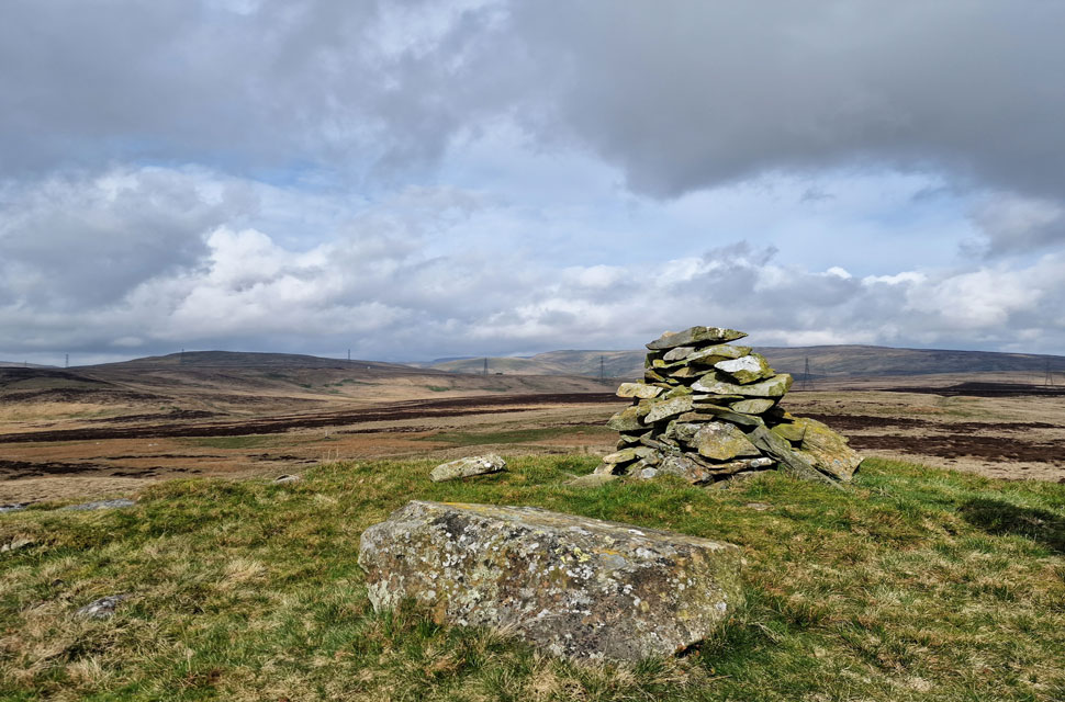
| Clovenstone, Clovenstone Hill. |
| It was only 350 yards, but I did indeed work up a sweat, but it was worth it to see the Clovenstone. I wonder how many people have visited this Clovenstone as opposed to the one found on Mungrisdale Common. |
 |
| Crag Hill summit. |
| I half ran back up the lenient hillside which tired my legs out quickly along with the morning heat that was now upon us, and thanked the lads for waiting. Crag Hill lay in wait as we left Clovenstone Hill and re-joined the track for the short pull onto Crag Hill's summit. |
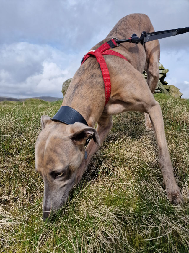 |
| Calva can smell somthing! |
| It looked like Calva could smell something, sometimes burying his nose into the long grass often revealing nothing, that was until he stopped again and flushed out a mouse. I'm not sure who was the most scared, the mouse or Calva! Just in case you were wondering the mouse got away safely. |
 |
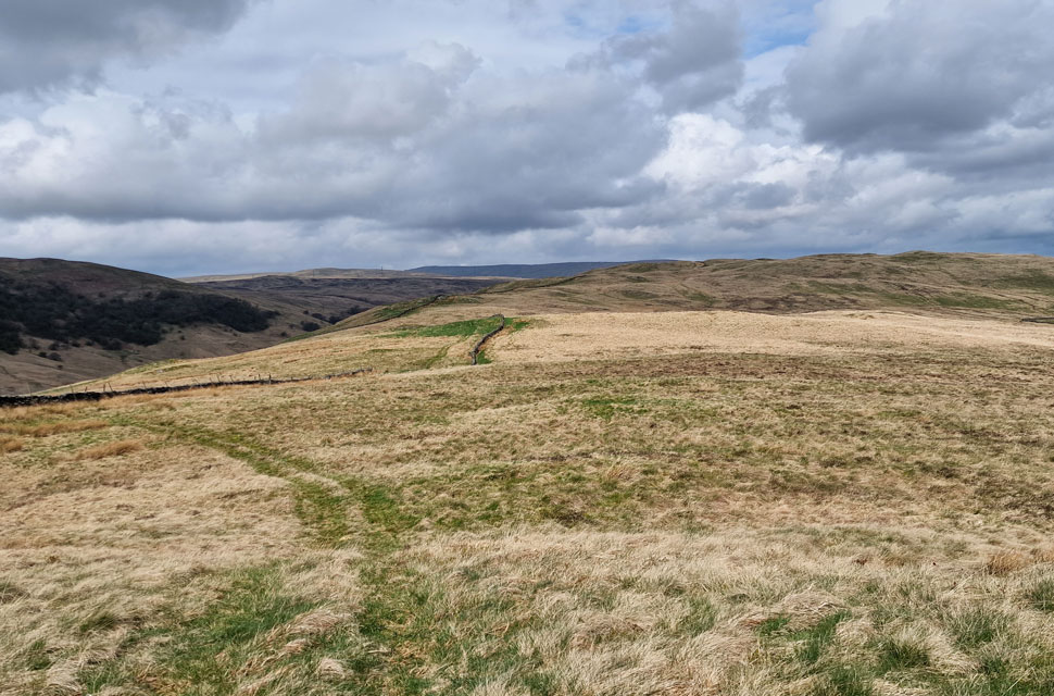
| Thorny Bank comes into view. |
| The summit of North Side came into view beyond Knott Moss and Thorny Side. We couldn't have asked for better conditions underfoot, aided by splendid views and little bog to negotiate. |
 |
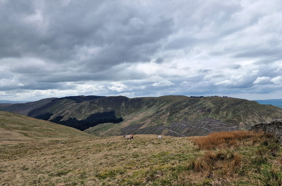
| The view over the Bretherdale Valley. |
| Towards Bretherdale Bank, Crookdale Crag and Whatshaw Common. |
 |
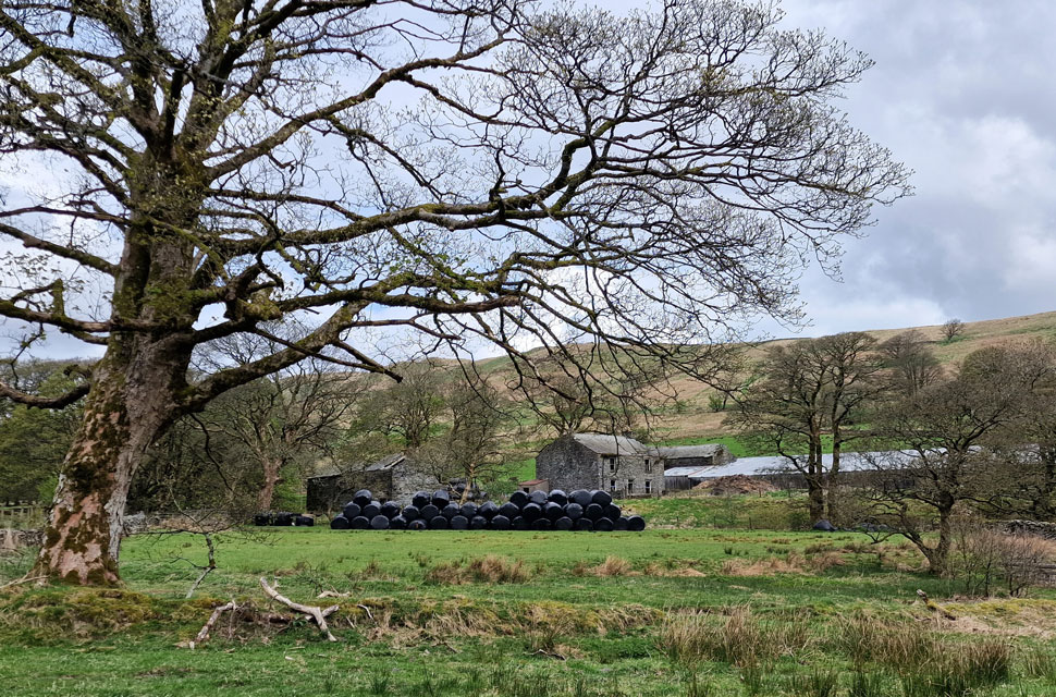
| "Bretherdale not only lives in the past, it is the past" Hayes © 2004 |
| "Derelict farmhouses litter the valley as if a plague has run through forcing human kind to drop everything and go" Hayes © 2004 |
 |
| Looking back towards Thorny Bank. |
| After crossing Knott Moss we joined the path over Thorny Bank keeping the stone wall to our right until the path broke left towards North Side summit. |
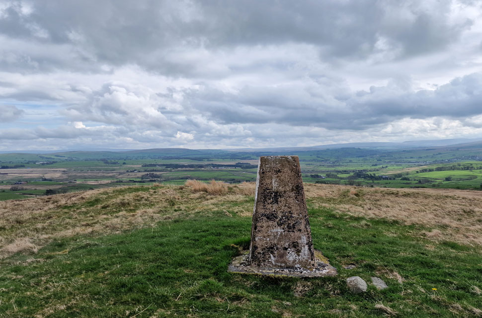 |
| North Side summit trig point. |
| We had been blessed with sunshine since Packhorse Hill but the cloud cover increased in what seemed like no time, sadly obscuring views towards the distant Howgills around three miles away. On a closer note, however, that's Tebay Services to the left of the trig point seen here surrounded by trees. |
 |
| Descending into Bretherdale. |
| We descended over boggy ground towards the steep tarmaced lane, which would descend us further towards the farm buildings flanked by Whinash and Dennison Hill. |
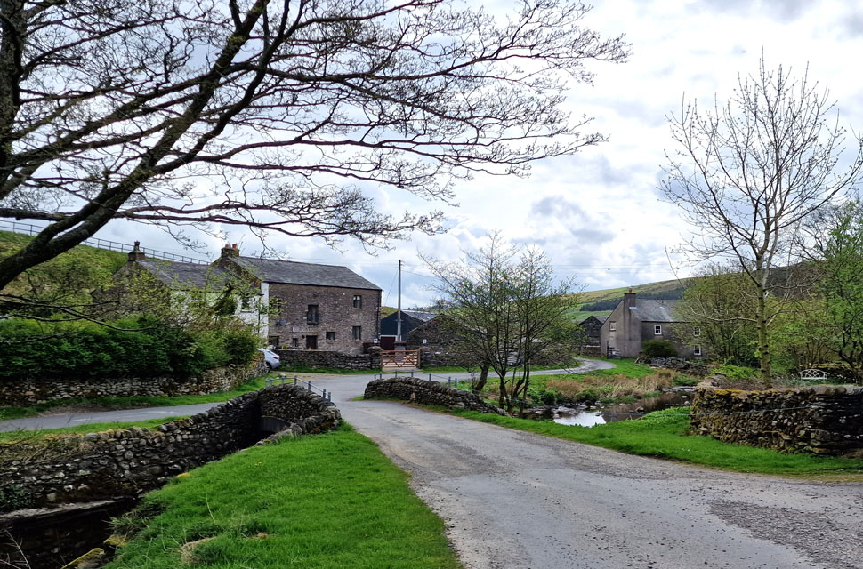 |
| The village of Bretherdale. |
| It was difficult to describe how tranquil the village felt, with only the trickle of Bretherdale Beck breaking the silence. |
 |
| Bretherdale Head. |
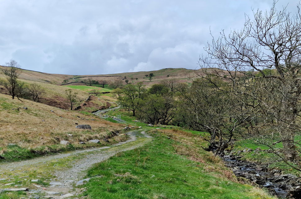
| After leaving the village in almost silence we followed the lane flanked by Bretherdale Beck towards Bretherdale Head (farm) |
 |
| Joining Breast High alongside Breasthigh Beck. |
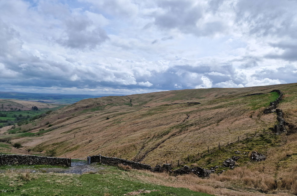
| From Bretherdale Head we joined Breasthigh Road (track) after reading a sign that read "narrow and rough unsealed highway, unstable gradients, and tight bends in fragile landscape," which was confirmed after comparing it to a steeper version of the Garburn Pass out of Kentmere. |
 |
| Breasthigh Road (track) |
| |
 |
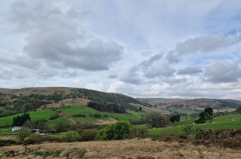
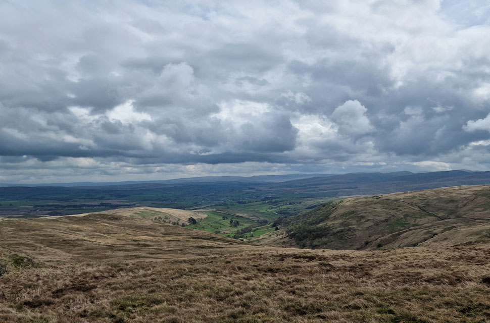
| The view over Borrowdale towards Ashstead Fell, Mabbin Crag and in the distance, Castle Fell. |
| Michael led the way and reached the top of Breasthigh Road (track) first, closely followed by the trio. After the rolling hills above Bretherdale Breasthigh Road certainly woke the calves up. After taking in the views over the Borrowdale valley, we turned northward and followed a narrow, singular path flanked by a stone wall towards Crookdale Crag. |
 |
| Lunch with a view from Crookdale Crag summit. |
| Here looking into Bretherdale with North Side seen to the left and the top of Breasthigh Road over on the right. |
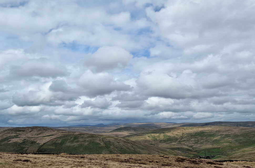 |
| Distant views towards the Lakeland Far Eastern Fells. |
| Seen here beyond Crookdale Bridge, High House Bank, Robin Hood, Lord's Seat, Great Yarlside, Harrup Pike, Selside Pike, Branstree, Harter Fell (Mardale) and III Bell. |
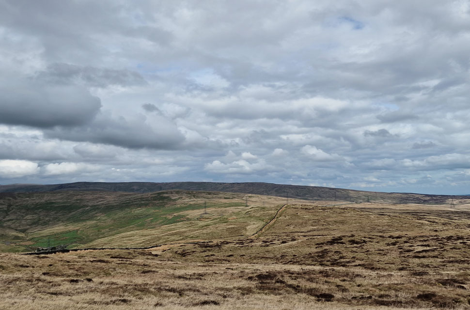 |
| Long distant view over Crookdale Bridge towards Whatshaw Common, Little Yarlside, Great Yarlside, Wasdale Pike and Harrup Pike. |
With lunch over, we packed up and made a pathless descent before rejoining the wall, which would lead us back to the A6 and Shap Road Summit. Even though this was a Bank Holiday weekend, traffic was light and did little to disturb the afternoon silence as we left the fellside in favour of the carriageway.
It had clouded over, but the temperature was rising towards 20°C, and with little to no wind, it started to feel like a warm summer's day. David unlocked his car as Calva made straight for the back seat and curled up. It's difficult to place the seclusion we all felt today, all of us agreeing to return to these hills, taking in new routes that due to boundary changes, only became part of the Lake District National Park back in 2015. |
|
| |
| Back to top |
 |
|