|
Rampsgill Head via Ramps Gill |
 |
 |
3rd June 2023 |
 |
|
We came up with this route within the depths of winter, and after the recent spell of dry weather, we thought there was no better time to ascend Rampsgill Head directly from the Ramps Gill valley. The route got a mention probably around a month ago; we were just waiting for the right time.
After hearing we were going to give the Ramps Gill route a go, Lakeland fell walker Ian Sharples, a buddy of mine walked the same route and came back to me with a brilliant report of what to expect. We followed the same course through Ramps Gill along the course of Rampsgill Beck, until we arrived at the sheepfold. .
The sheepfold signifies the start of the ascent, which is where our routes differed. While Ian followed a grassy tongue to the right below crag and scree he topped out on a grassy col about 260 feet below the summit. Our route was as direct as we could get without the use of ropes following a centralised tongue into the upper reaches of Ramps Gill followed by a steep ascent via a grass rake which led us onto equally steep grassy shelf from where we dug deep for the last 80 feet emerging almost on top of the summit cairn. |
|
| Wainwright Guide Book Two |
 |
| The Far Eastern Fells |
| The most impressive natural feature is the fringe of crags breaking abruptly at the edge of the summit facing Rampsgill and the long slopes of boulder and scree below are an indication that, before the age of decay, the rock scenery here must have been very striking. |
 |
|
|
|
| |
|
Overview |
|
|
| Ascent: |
2,600 Feet - 792 Metres |
| Wainwrights: |
3, Rampsgill Head - High Raise (Martindale) - Steel Knotts (Pikeawassa) |
| Visiting: |
2, Red Crag - Brownthwaite Crag |
| Weather: |
Bright Sunshine & Light Winds Across The Summits. Highs of °C Lows of °C Feels Like °C |
| Parking: |
Car Park, Martindale New Church |
| Area: |
Far Eastern |
| Miles: |
10 |
| Walking With: |
David Hall & Rod Hepplewhite |
| Ordnance Survey: |
OL5 |
| Time Taken: |
6 Hours 10 Minutes |
| Route: |
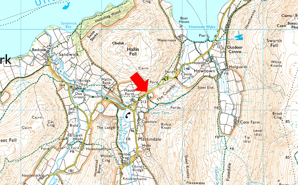
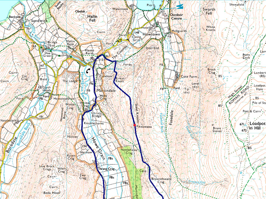
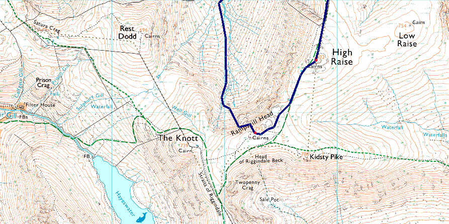
Martindale New Church - Martindale - Dale Head - Rampsgill Beck - Ramps Gill - Rampsgill Head - High Raise (Martindale) - Raven How - Red Crag - Mere Beck - Brownthwaite Crag - Steel Knotts (Pikeawassa) - Birkie Knott - Martindale New Church |
|
| |
|
Parking Details and Map |
|
|
| Nearest Post Code: |
CA10 2NF |
| Grid Reference: |
NY 435 619 |
| Notes: |
There are actually two car parks at Martindale New Church one of which is next to the Church itself and on the opposite side to the car park there is off road parking for around half a dozen well parked cars. Parking is free at both sites. |
|
| |
|
Map and Photo Gallery |
|
|
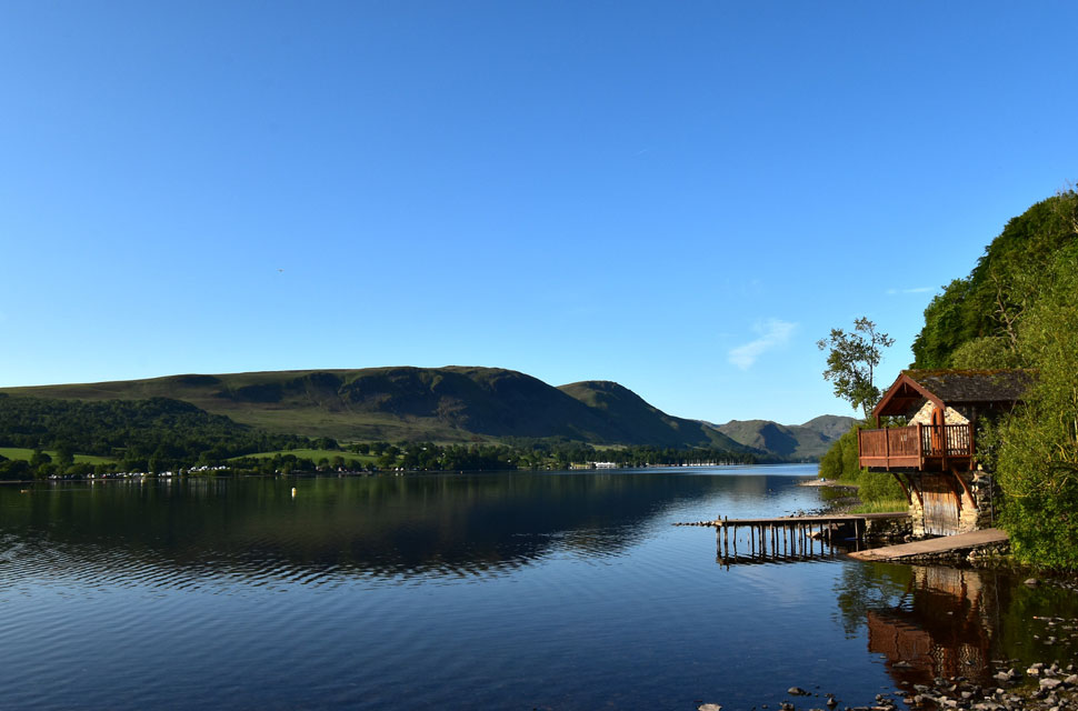 |
| Arthur's Pike, Bonscale Pike Arnison Crag and Birks from the Duke of Portland Boathouse, Ullswater. |
| Before the short drive through Pooley Bridge I stopped off at the Duke of Portland Boathouse to take in this great view of Ullswater, where I also spotted a couple of wild swimmers taking an early morning dip. |
 |
| Beda Fell, Winter Crag and Place Fell from Martindale New Church 12°C 8:15am |
Rod had arrived at 7:40am and was shocked to find just two parking spaces left at Martindale New Church including the lay-by opposite, that said a huge walking party had just left, which would explain a lot. I arrived around 8:00am. and managed to park next to Rod, but not before I had to negotiate the car around a stone large enough to take my sump out. So by 8:00am, there was nowhere left to park, and the sad thing is, it's happening every weekend now, no matter the season.
But before I spread the doom and gloom, we had a bit of a shock at the end of the walk, which I'll touch on later. Amazingly, a chap appeared from the Church, passed on a 'morning' then reversed his car out right at the same time David arrived, who slotted his car straight into the space. Talk about good timing. To keep the ticks at bay, we had listened to Ian's advice and worn long trousers, and David, quite rightly, hadn't brought Calva along, not just because of the ticks, but because of the heat too. The whole valley was under strong sunshine now, and after a quick sweep of the boot, I locked the car, swung my laden pack onto my back, and set off towards Martindale Old Church. |
 |
| Beda Fell (right) The Nab (centre) Rampsgill Head (centre left) and High Raise (left) |
| As we entered Martindale we got our first view into Ramps Gill seen as the shaded area over on the left. |
 |
| The view into Ramps Gill from Howgrain Beck. |
| With Gowk Hill, Red Crag, Raven Howe, High Raise seen over on the left and The Nab seen right, what a beautiful morning. |
 |
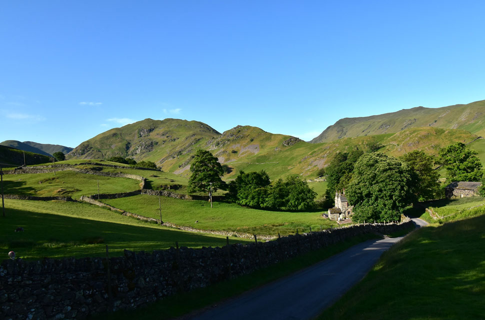
| The Nab from Dale Head. |
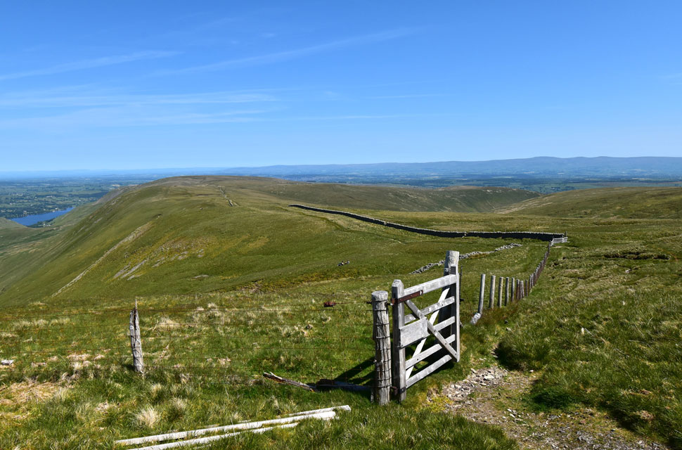
| We followed the narrow lane for around two miles until the Bungalow came into view as we reached Dale Head. To the right a gate gave us access to the other side of the wall and onto open fell. |
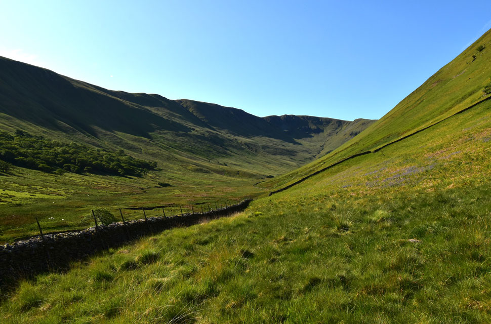 |
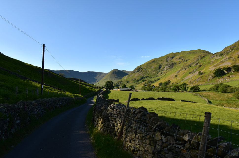
| Ramps Gill. |
| With Martindale behind us we were officially in Ramps Gill now with Raven Howe and High Raise seen to the left and Rampsgill Head in the centre. A faint footpath through rough grass ascends towards a gate found in the wall over on the right. |
 |
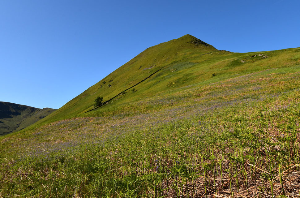
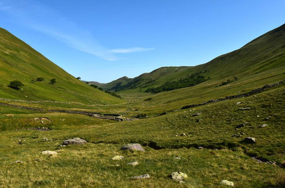
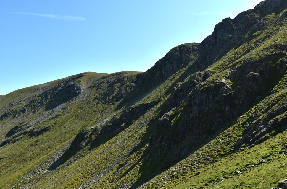
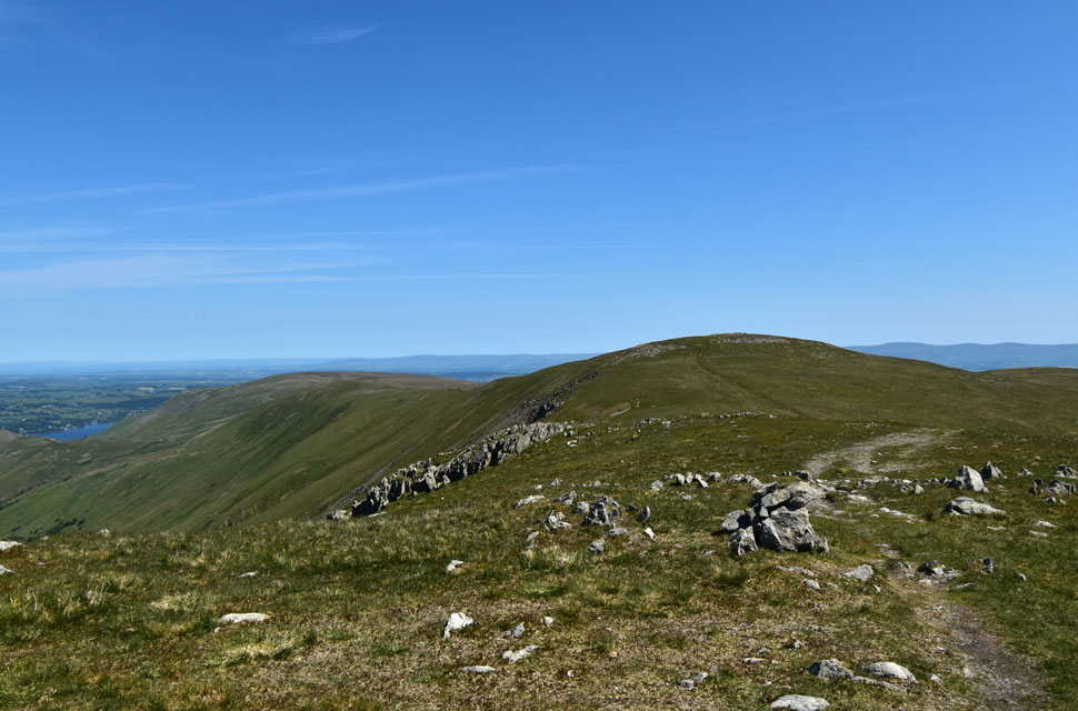
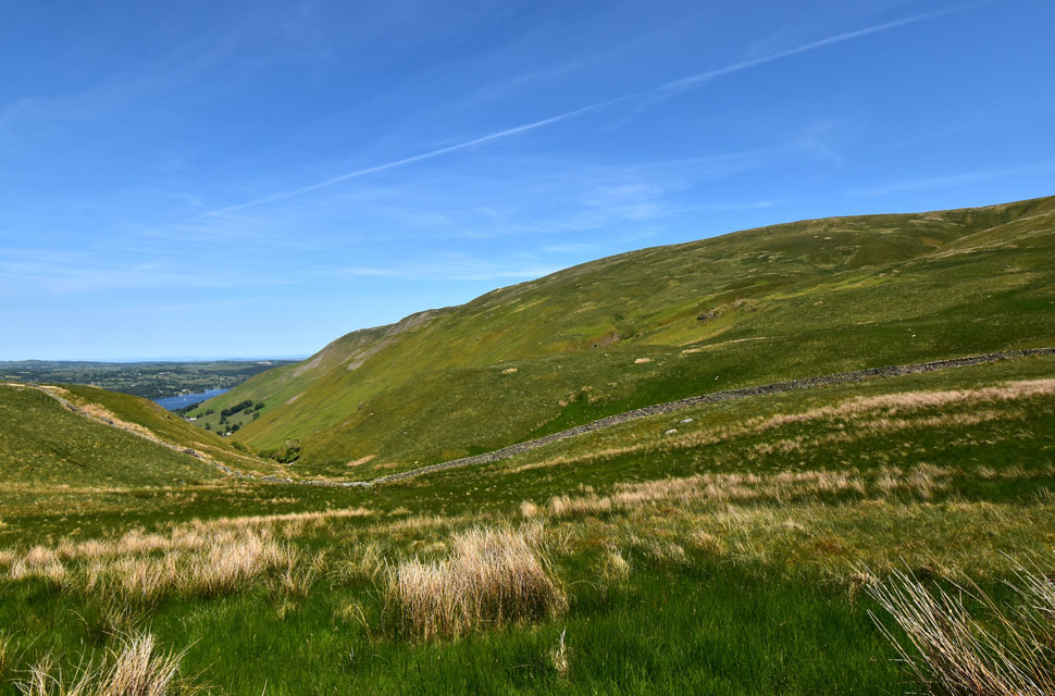
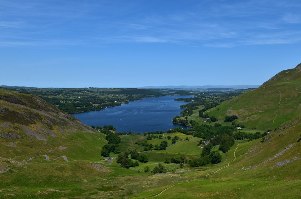
| Rampsgill Head from Ramps Gill. |
| From the gate, we dropped down and fell back in line with the wall, where the path continued through thick bracken. It was here that I spied a break in the wall, so we hopped over and followed this narrow path as far as the sheepfold up ahead. It was from here that we spotted our first Deer who were looking down on us from The Nab's steep east flank. Around four in number, they wouldn't be the last Deer we'd see in the valley. |
 |
| Rampsgill Head from Ramps Gill. |
| Our line of ascent starts from the sheepfold and follows the central tongue before heading very steeply towards the summit. Where our line breaks away to the left Ian's ascent continues towards the grass rake over on the right. |
 |
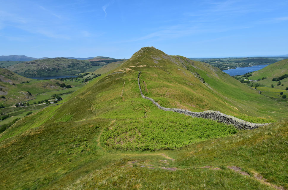
| Gowk Hill, Brownthwaite Crag and Steel Knotts from the sheepfold, Ramps Gill. |
The morning was heating up now and despite being warned of the ticks we hadn't encountered any so far, but that couldn't be said about horseflies of which there were many.
You're looking at the area where we stripped down, removed our long trousers and put our shorts on. For anyone looking down on us there's no need to call the cops, just three blokes with their trousers round their ankles nothing to see here move on! |
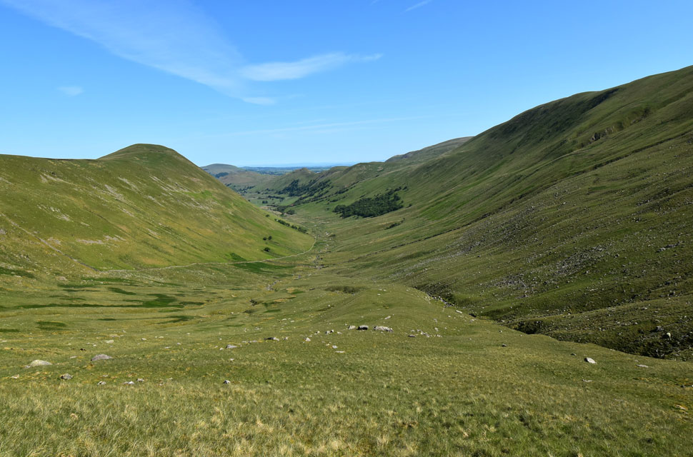 |
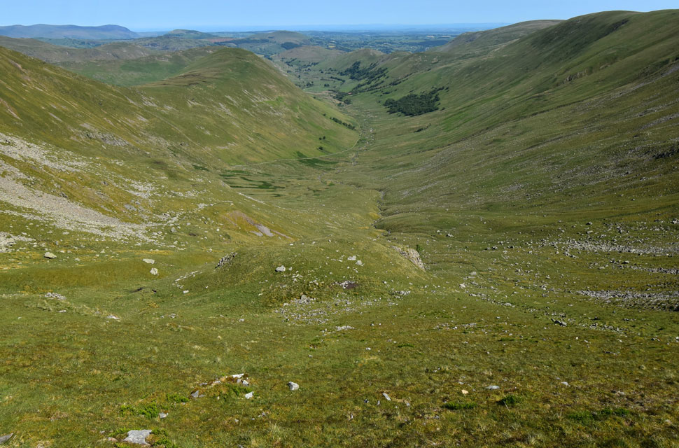
| Looking down into Ramps Gill with The Nab left, Red Crag, Loadpot Hill, Gowk Hill, Brownthwaite Crag and Steel Knotts and Hallin Fell on the right. |
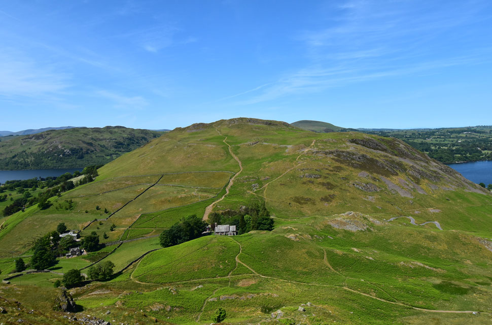
| Depending on how far away we were our line of ascent changed about three times but the final route came from back at the sheep fold. The central tongue started off as a steady up hill plod which gradually got steeper and steeper the further we ascended, as we said to one another "it's not so much the steepness but for how long it lasts" it just went on and on. |
 |
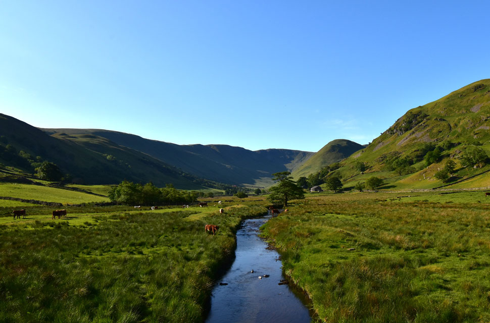
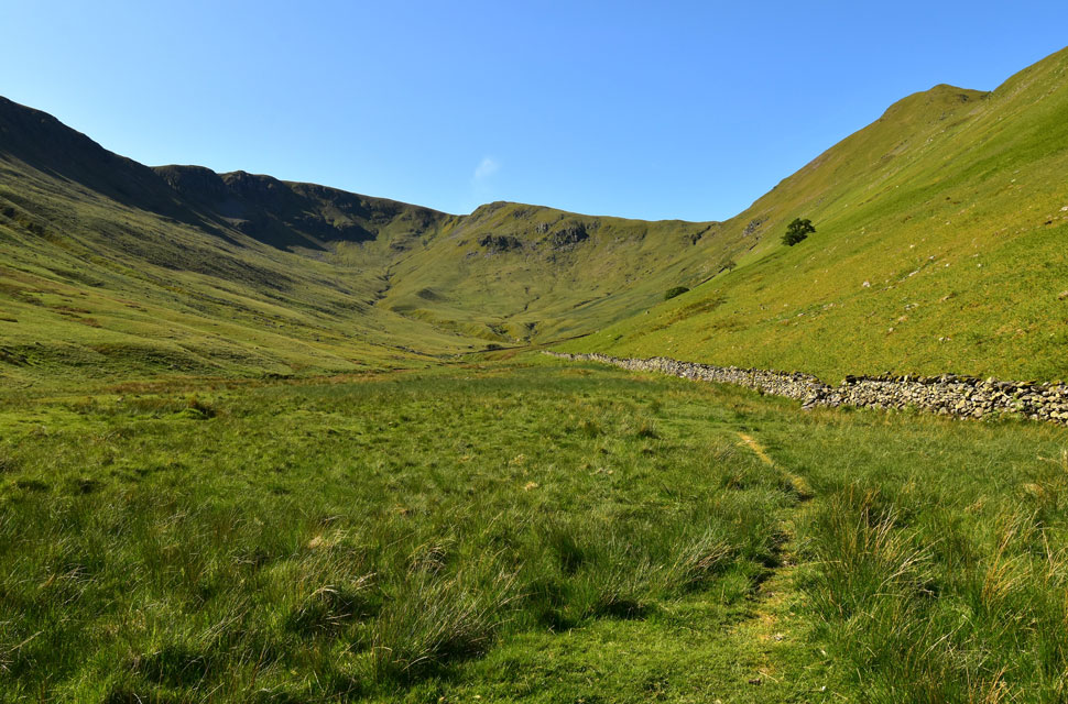
| Rest Dodd and The Nab from the upper reaches of Ramps Gill. |
| This is the area where Ian strayed right below the scree then on towards the grass col. |
 |
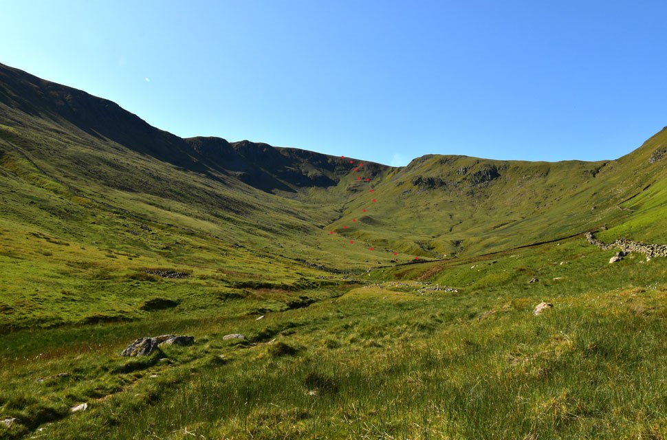
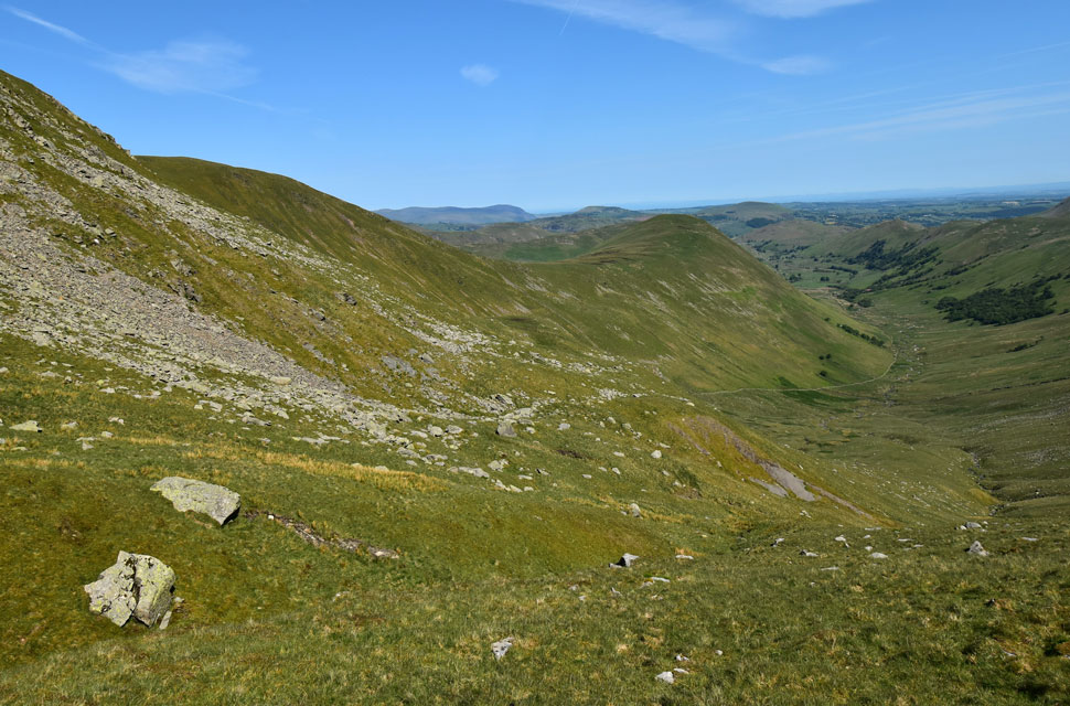
| Our line of ascent. |
| Panting like Labradors on a hot day we arrived at the bottom of the grass rake we had agreed on earlier. The grass rake can be seen over on the left but there wasn't much difference in ascending via the rake or making a direct ascent up the head wall. Up ahead you might be able to pick out the grass shelf which was where we were heading for. |
 |
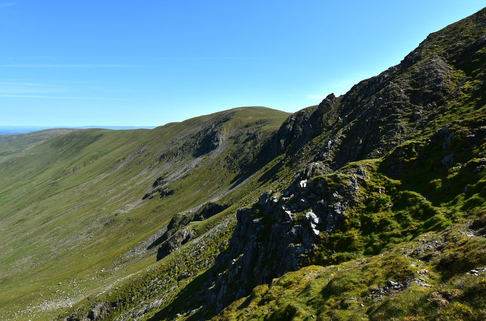
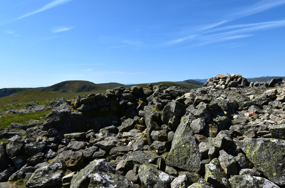
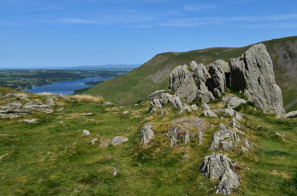
| High Raise (Martindale) |
| From above these crags and pinnacles have always impressed me and to be within them felt wild. |
 |
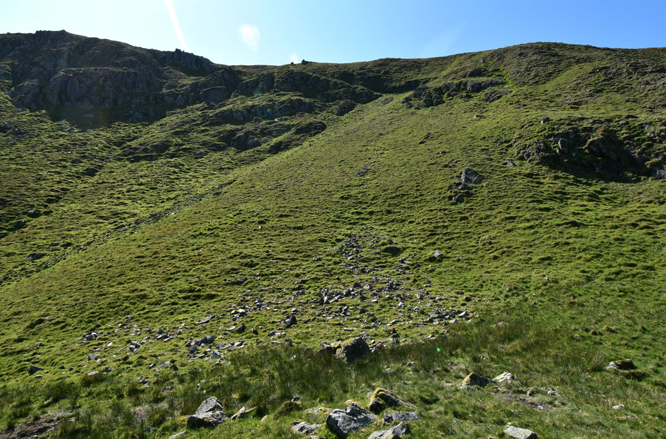
| Looking down on ground covered as the grass shelf is reached. |
| The last photo was taken from the base of the huge grassy outcrop below. Further down the plan was to head over the top of the outcrop but we didn't know if there was a drop on the other side so we thought better safe than sorry and flanked it to our left. |
 |
| Taking in the view... |
| ...while getting our breath back. |
 |
| The Eastern Fells from Rampsgill Head summit. |
| The grass shelf appeared to be close to the summit but there was still a good 80 feet left of direct ascent where we had no choice but to slowly zigzag ourselves up. We crested the summit and began the short walk towards the cairn whilst my calfs began their recovery. The ascent of Ramps Gill has to be one of the steepest ascents I've undertaken and will sit proudly along side the likes of Deep Gill (Sca Fell) Lingmell End (Kentmere) Gamlin End (Buttermere) Red Pike (Wasdale) direct and Hassnesshow Beck (Robinson) I'm sure there's plenty more I have failed to mention. |
 |
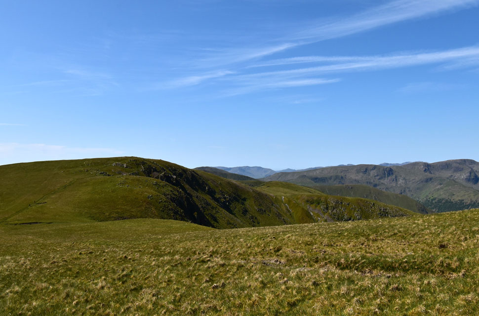
| High Raise (Martindale) Raven Howe, Red Crag and Wether Hill from Rampsgill Head. |
| Once recovered Rod and I applied sun cream before continuing towards High Raise seen right. |
 |
| Looking back on Rampsgill Head and Ramps Gill. |
| We were lucky enough to have Rampsgill Head to ourselves but that couldn't be said about Kidsty Pike where we counted seven walkers at the summit and more approaching. |
 |
| High Street from High Raise (Martindale) summit cairn and shelter. |
The word 'food' was mentioned which I hadn't thought about all morning but once you hear the word the stomach starts to growl! Not at High Raise though as we knew more walkers were due so we left and took in the slight descent towards Raven Howe. |
 |
| Raven Howe, Red Pike and Wether Hill. |
| Having just been passed by two mountain bikers we left the summit and took in the fantastic view over what we would arguably call 'Lakelands second best mile' |
 |
| The Eastern Fells from the pool found on Raven How. |
| |
 |
| Wether Hill with Loadpot Hill blending in behind. |
| We broke for lunch behind a wall between Raven Howe and Red Crag where I shared out the chocolate rice krispie cakes that my four year old granddaughter Penny had made the day before. They went down a treat thank you Penny! |
 |
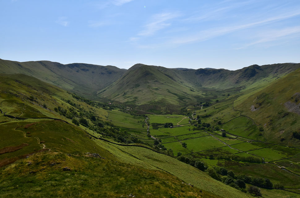
| Views over Ramps Gill towards The Nab, Bannerdale, Bedafell Knott, Heckbeck Head, Place Fell and the Eastern Fells. |
| With the delightful Red Crag ridge behind us we strike left and began the descent into Fusedale via Mere Beck while looking down into Ramps Gill and the Bungalow seen below with its distinctive red tile roof. |
 |
| Gowk Hill, Brownthwaite Crag and Steel Knotts from Mere Beck. |
| Given the great weather, we were a little shocked at how many walkers we'd seen, which amounted to around nine if we included the two mountain bikers. The place looked deserted - I'm not complaining, mind! |
 |
| A peep into Fusedale and Bonscale Pike. |
| As we take head over Brownthwaite Crag |
 |
| Steel Knotts and Gowbarrow Fell from the descent of Brownthwaite Crag. |
| Without the exposure of the summits the temperature was heating up now and we seemed to be walking in and out of pockets of heat which hit us like the opening of the oven door, blimey it felt like we were melting at times. |
 |
| The view into Ramps Gill and Bannerdale. |
| Divided by the mass of The Nab. |
 |
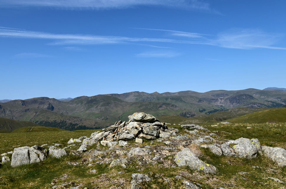
| Ullswater and Bonscale Fell from Steel Knotts (Pikeawassa) |
| That's three out of three summits we had to ourselves. |
 |
| Ullswater seen beyond Howtown. |
| |
 |
| Hallin Fell seen beyond The Coombs. |
| We all know that Hallin Fell is one of Lakelands most popular hills but blimey, the path seems to be getting wider and wider. |
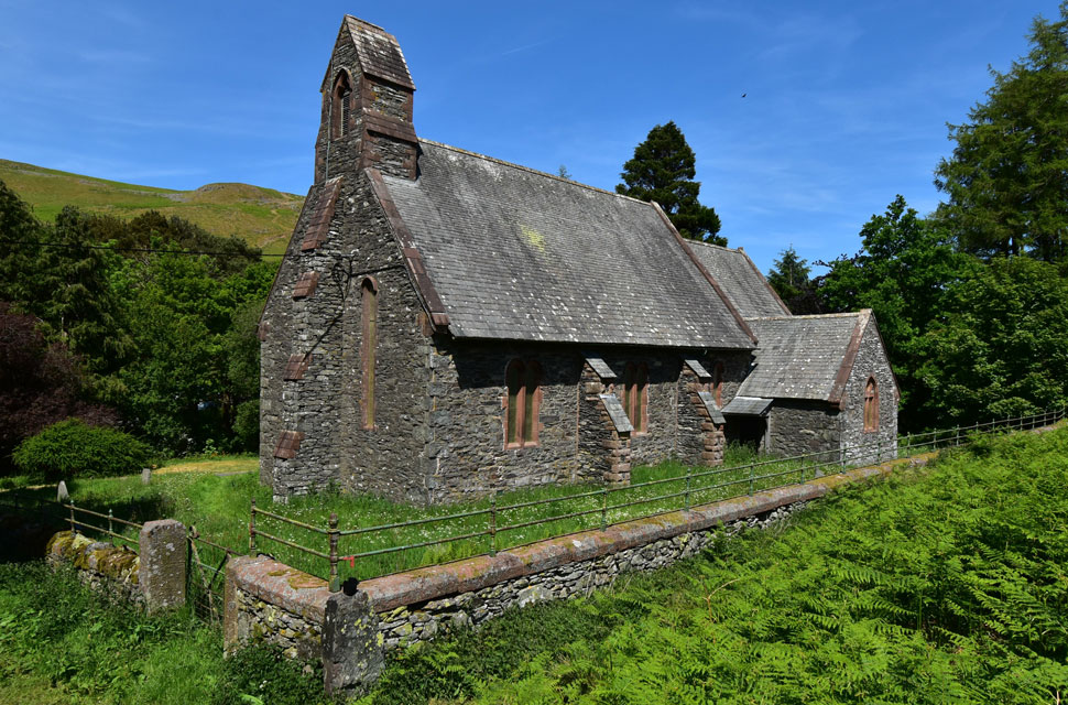 |
| Martindale New Church. |
With Steel Knotts behind us, we walked its ridge as far as Birkie Knott then began the steep descent with Martindale New Church always in view. Across from the Church, there was only the odd walker ascending or descending Hallin Fell as we crossed The Coombs where I kicked my feet into the backs of my boots. Through the trees, we spotted the car park, its cars protected from the strong sunshine by the canopy above. Once at the Church we had a clearer view of the car park, which to our amazement, was half empty.
It was prime time weekend, and we couldn't believe what we were seeing. Over six hours ago, we had our reservations on how we would find the car park, and here we are six hours later, shocked that it's half empty. Perhaps all is not lost after all. We arrived back at the cars and began to kit down. I couldn't wait to remove my boots, which I'm going to treat to a new pair of gel insoles given the pain my feet have been in lately. Ravens squark above, and other than our own chatter, it's so peaceful. We've had it all today, with strenuous ascents, mind-blowing views, and a quiet that we thought had gone forever. What a great day for Lakeland. |
|
| |
| Back to top |
 |
|