|
Fairfield & Seat Sandal from Grasmere |
 |
 |
17th June 2023 |
 |
|
I think it's fair to say that I definitely have some favourite lakeland walks, and for reasons that spur me to return to them time and time again. The ascent of Fairfield from Grasmere via Stone Arthur is one of my favourite ascents in Lakeland.
After all these years, it's a route that still feels new, which is why I like to do this walk so much during different seasons of the year. I was supposed to be walking today, but about 24 hours earlier, an ascent of Fairfield sprang to mind, and I set about thinking of all the different routes I could take.
I didn't have enough time to take on the Fairfield or Deepdale Horseshoe(s), so that's when I began to narrow things down a bit. Ascent via The Tongue is another great route and one I keep saying I'm going to return to too, but that's for another day. I don't know why I was thinking of all these other ascents when I knew I could save myself all the energy and return to this classic six-miler from Grasmere. |
|
| Wainwright Guide Book One |
 |
| The Eastern Fells |
| |
 |
|
|
|
| |
|
Overview |
|
|
| Ascent: |
3,176 Feet - 968 Metres |
| Wainwrights: |
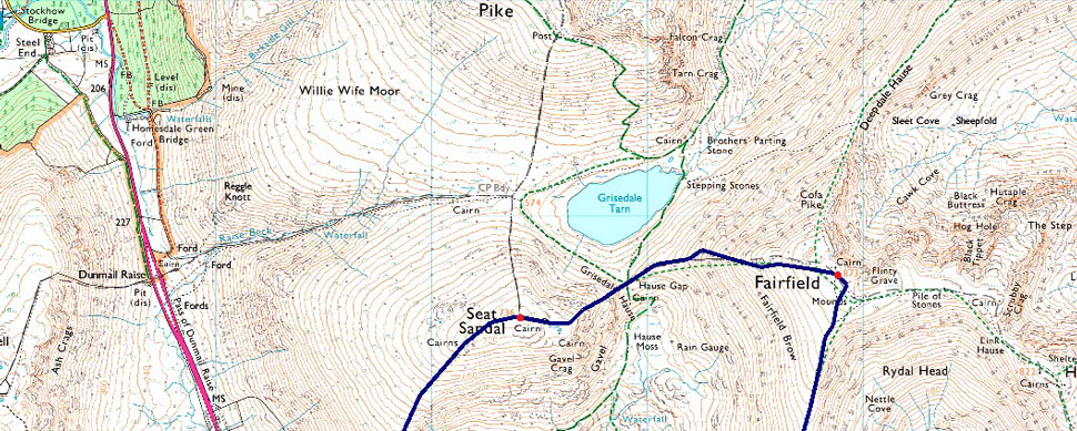
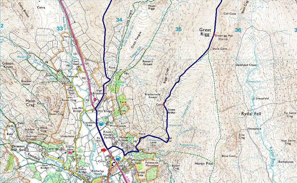
4, Stone Arthur - Great Rigg - Fairfield - Seat Sandal |
| Weather: |
Scattered Cloud & Intermitant Sunshine. Windy At Height. Highs of 18°C Lows of 16°C Freezing Level Above The Summits |
| Parking: |
Parking Spaces, A591 Grasmere |
| Area: |
Eastern |
| Miles: |
6.2 |
| Walking With: |
On My Own |
| Ordnance Survey: |
OL5 |
| Time Taken: |
4 Hours 15 Minutes |
| Route: |
A591 - Greenhead Gill - Stone Arthur - Great Rigg - Fairfield - Grisedale Hause - Seat Sandal - Seat Sandal South Ridge - Tongue Gill - Mill Bridge - A591 |
|
| |
|
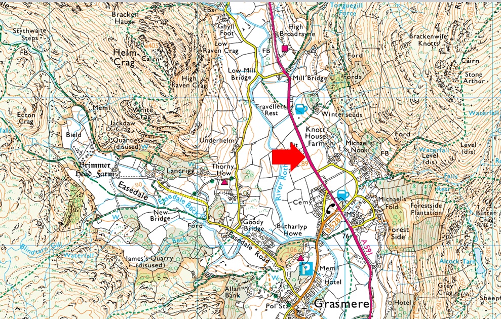
Parking Details and Map |
|
|
| Nearest Post Code: |
LA22 9RF |
| Grid Reference: |
NY 337 408 |
| Notes: |
Possibly the most convenient, and popular layby in Lakeland! The layby is found just outside Grasmere in between the village and the Swan Hotel. Despite this being a rather long layby parking here is very popular mainly because of the position and access to Helm Crag, Far Easdale and the Fairfield fells. Parking is free. |
|
| |
|
Map and Photo Gallery |
|
|
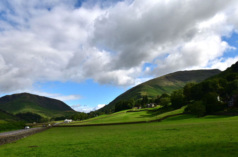 |
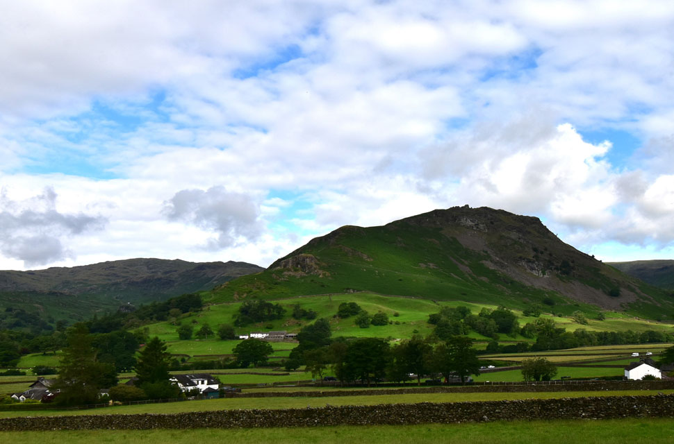
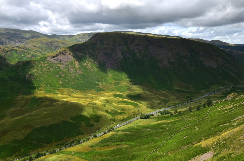
| Steel Feel, Dunmail Raise and Seat Sandal 8:45am 16°C |
Heavy rain hitting the bedroom windows woke me an hour before my alarm was set to go off, and as a result, I was up and ready by the time my alarm actually went off at 5:30am. It had stopped raining as I packed my gear into the back of my car, and I could even see hints of blue sky between the grey. The further north I drove, the clearer the skies became, eventually arriving in Grasmere two hours later under blue skies and mild temperatures.
Given that it's a weekday, I figured I wouldn't have any issues parking, and I was right parking in the dead centre of the long layby where I was soon joined by two other cars, one of whose occupants began to kit up before the driver's door had time to shut, and the other, for some reason, waited in his car a good few spaces before me. Kitted up I crossed the A591 then stopped to take this photo as I walked towards the afluent Michaels Nook where I will begin my climb alongside Greenhead Gill. |
 |
| The view across to Helm Crag. |
| From the lane I stopped to look back on Helm Crag with Tarn Crag (Easedale) seen over on the left. |
 |
| God's green and plesent land. |
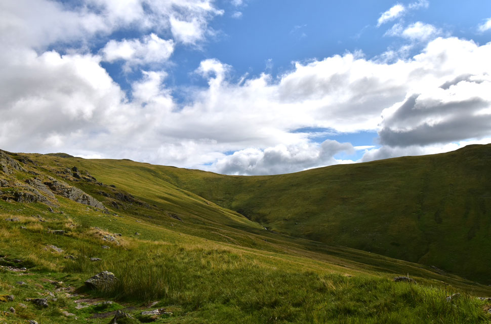
| I left the lane and began the steep climb alongside a cascading Greenhead Gill so full of last night's rain it almost flowed white. I turned left at a signpost that read Stone Arthur which was either new or I'd never noticed it before. Either way, the steep climb continued, this time flanked by conifers, until the views started to open up over Grasmere and to Wetherlam beyond. |
 |
| Bracken everywhere! |
| Wet bracken had almost taken over the path causing the left part of my clothing to get wet from ankle to shoulder height in places. You would normally be able to see the narrow path to the left of the stone wall which in some cases was easier to walk along the top of rather than fight through the bracken. |
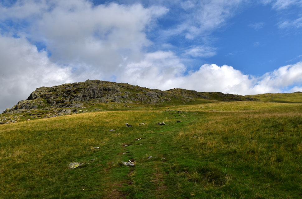 |
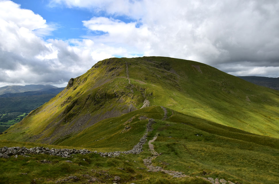
| Stone Arthur comes into view. |
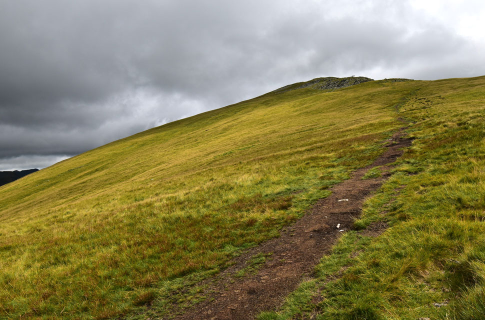
| Fix the fells had been doing some repairs down the lower section of the path including the section where the path turns north (shown as level on my map) which was where I was overtaken by the guy who had pulled in behind me back at the layby. One minute he was 200 yards behind me the next he was leaving me for dust his stride as wide as legs were long. |
 |
| The head of Greenhead Gill. |
| With Rydal Fell seen off to the right. |
 |
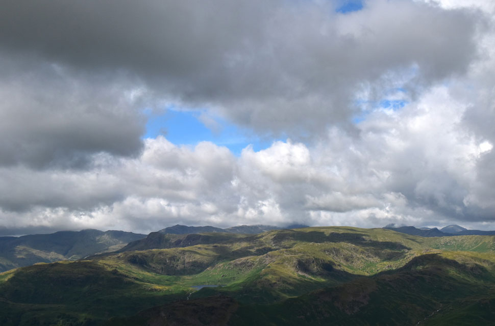
| The view over Grasmere and Silver How towards Lingmoor Fell, Crinkle Crags and Pavey Ark. |
| The fell runner had just left Stone Arthur's summit and was long gone by the time I was at the arrived, inhaling heavily as I tried to close the gap. I had no chance! By now I was experiencing a light wind, which worked wonders in drying me off from the bracken and cooling me down from the steep ascent. |
 |
| Contrast in light. |
| The first signs of it beginning to cloud-over came when I was met with brilliant sunshine and distant shadows here as I looked towards Dollywagon Pike (right) and Seat Sandal (left) |
 |
| Great Rigg comes into view. |
| Here two walkers who I'd spotted crossing the ridge from Rydal Fell summit Great Rigg as the wind begins to strengthen as the skies continue to thicken. |
 |
| The view West. |
| Here looking over Helm Crag, Gibson Knott and Calf Crag towards Tarn Crag (Easdale) Blea Rigg, High Raise (Langstrath) Crinkle Crags, Bow Fell and Esk Pike. |
 |
| Four lakes and one Tarn can you name them all? |
| Seen beyond Rydal Fell and Heron Pike with Rydal Beck below. |
 |
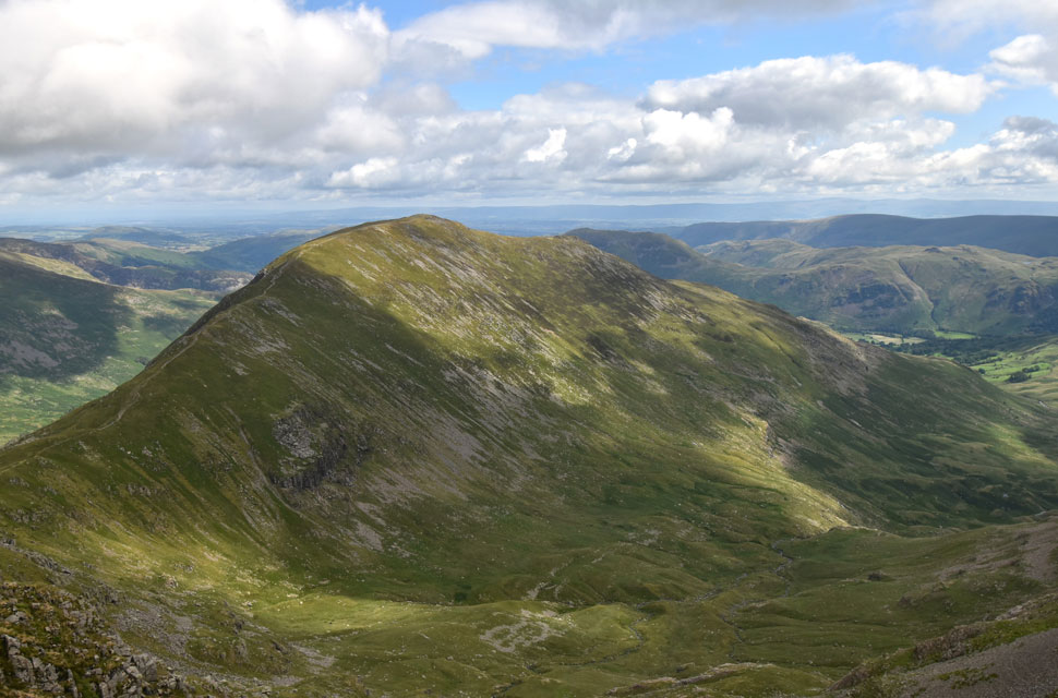
| Fairfield from Great Rigg summit. |
| With Dollywagon Pike and Helvellyn seen to the left and Hart Crag tracing off to the right. Good grief where has all that cloud come from. |
 |
| Looking back on Great Rigg... |
| ...and the last of the sunshine for now. |
 |
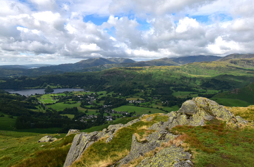
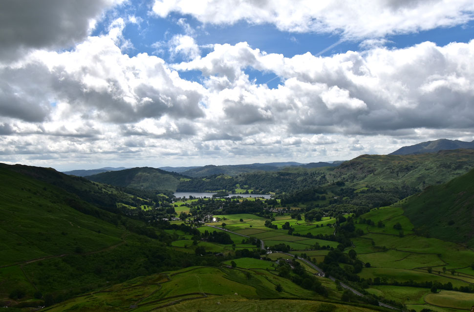
| St Sunday Crag seen over the Deepdale Valley from Fairfield summit. |
I had somehow managed to overtake the two walkers I'd seen on Great Rigg earlier before reaching Fairfield summit, where I was treated to a blast of chilled wind that was so cold it almost had me reaching for my hat and gloves within minutes of arrival. I don't often spend time at summits, with the exception of Fairfield where I like to explore, but the sudden change in temperature chilled my hands and ears to the point my teeth started to chatter.
I was of course fully equipped to deal with the cold, but given how gloomy the summit now looked, I crossed the rock-strewn plateau and began my descent towards Grisedale Hause. |
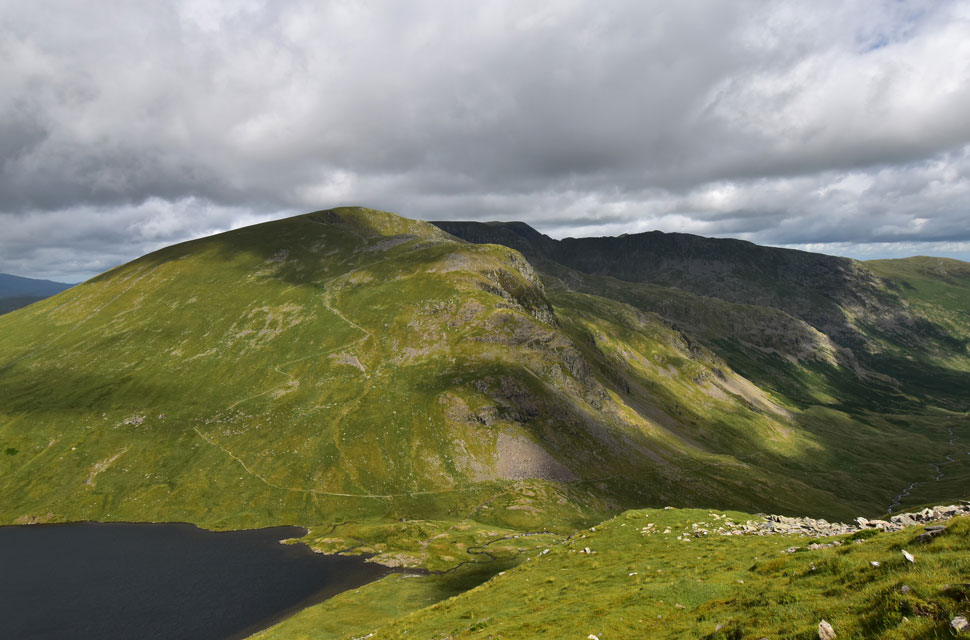 |
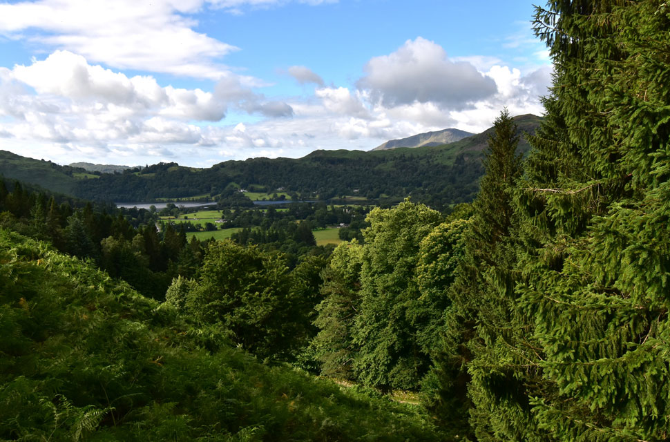
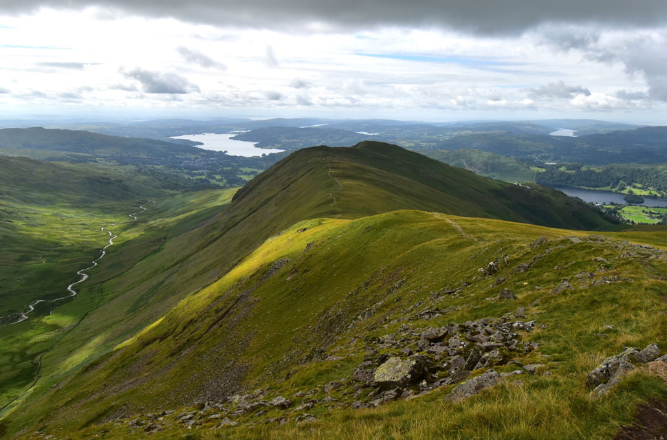
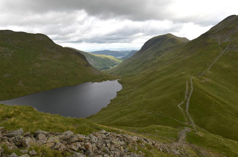
| Views over Grisedale Tarn... |
| ...towards Dollywagon Pike, High Crag, Nethermost Pike, Helvellyn, Striding Edge, Nethermost Pike East Ridge, The Tongue and of course the Grisedale valley. |
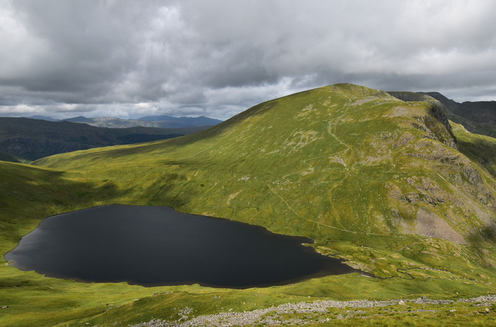 |
| Grisedale Tarn and Dollywagon Pike. |
| It looks like the sunshine has returned and with it came a sudden rise in temperature. |
 |
| Seat Sandal over Hause Gap (foreground) and Grisedale Hause (beyond) |
Enjoying the views along the Grisedale valley while relishing the sudden breaks of sunshine, I began my descent from Fairfield taking my time descending the upper zigzags, which seem to be getting more eroded with each visit. From the direction of Tongue Gill (left) I spot two groups of four walkers and a solo walker ahead of both groups.
As I passed over Grisedale Hause I met the solo walker, a young girl who gave me a cheerful 'hi' before checking her map before taking the narrow path below Seat Sandal along the shores of Grisedale Tarn. |
 |
| Looking back on Grisedale Tarn towards Dollywagon Pike, Cofa Pike (St Sunday Crag) the Grisedale valley with Ullswater beyond. |
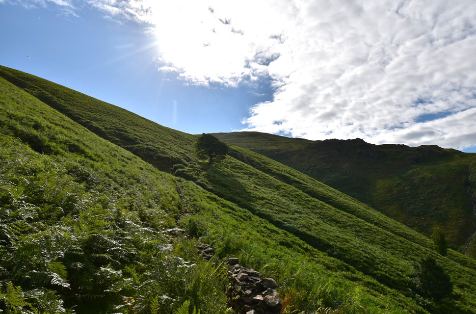
Without thinking, I began the steep ascent on Seat Sandal opting to take the path right of the wall rather than the direct route, which is heavily eroded. The path looks nowhere near as steep as it actually is, and I could feel my legs kick back and knock it down a gear.
The path comes back in line with the wall and, although still steep, is much more manageable. By now I was just about to lose sight of the solo girl who had taken refuge on a large boulder overlooking the tarn. |
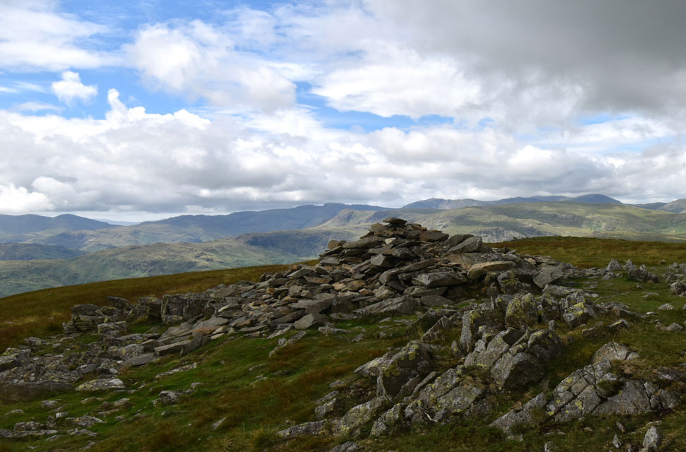 |
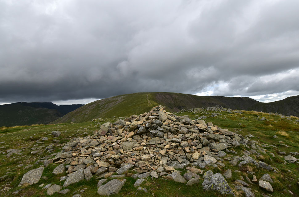
| Seat Sandal summit. |
| The gradient eased as I crested the shoulder of the summit, where I continued to follow the stone wall until the summit cairn came into view. The wind had picked up again, but it was nowhere near as chilled, so with hands on hips, I spent a few minutes admiring the views while relishing the bright sunshine that had been gracing the central fells all morning. |
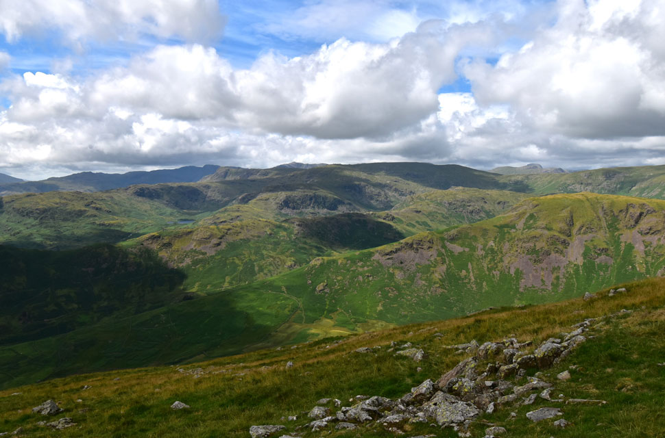 |
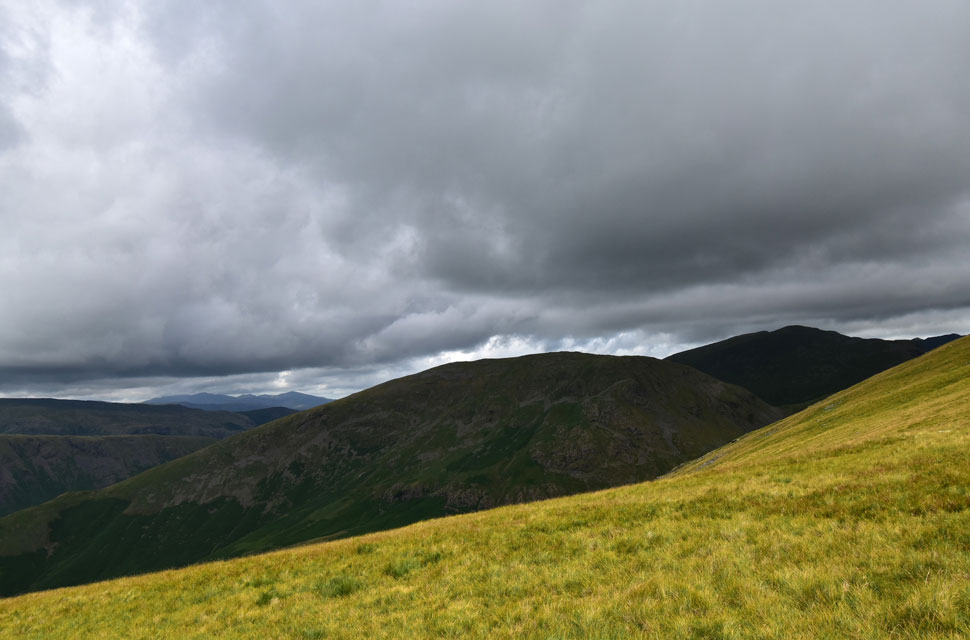
| The view over Cotra Breast (Steel Fell) |
| Towards Tarn Crag (Easedale) Blea Rigg, Coldale Head, High Raise (Langstrath) Sergeant Man, Pike O'Blisco, Crinkle Crags, Bow Fell and Easdale Tarn. |
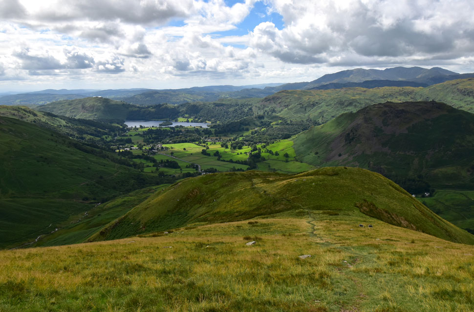 |
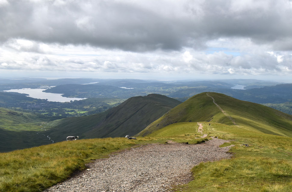
| Descending Seat Sandale South Ridge... |
| ...with views of Grasmere and the Coniston Fells. |
 |
| Impressive views over Dunmail Raise towards Cotra Breast and Steel Fell. |
| |
 |
| See the light. |
| To this day, Im not quite sure what it was, but my descent was distracted by sunlight glinting off maybe a car window or steel panel just on the outskirts of Grasmere. |
 |
| Looking back on Seat Sandal and the South Ridge. |
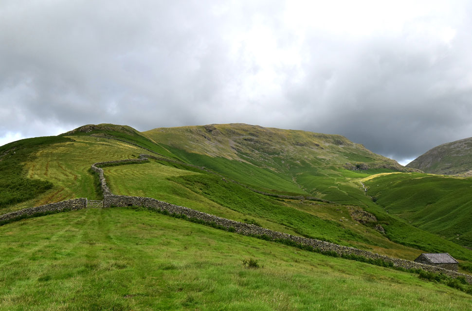
From summit to base, I was only passed by one couple who muttered something about how easy it was to descend the south ridge, and I muttered something back agreeing. After I had passed the couple, I had the ridge to myself, and when I could, I took in the fantastic view of Cotra Breast which despite just being across the way, was still enjoying bright sunshine. Earlier, I had spotted a tractor cutting the heather back on the lower section of the ridge which helps to reduce the dominance of the bracken for up to three years. I passed through the gate and looked back on Tongue Gill which was dappled in sunlight just here and there. Continuing through a laberynth of stone walls, I soon joined the footpath until the A591 was reached. Turning left, I passed over Tongue Gill which equaled Greenhead Gill in spate.
I passed The Travellers Rest whose outdoor seating was begining to fill up with folk enjoying posh latte's and brunch. I could still hear water in spate from the fell side as I continued to walk along the A591 glancing up at Helm Crag whose lower bracken covered flanks glistened in the sunshine while its upper reaches were in shade. Stone Arthur came into view, which is a view you don't often appreciate as its summit blends into the fell side, but if you know where to look, Stone Arthur is as grand a summit as any of its neighbours. |
|
| |
| Back to top |
 |
|