|
Place Fell from Patterdale |
 |
 |
24th June 2023 |
 |
|
After weeks of hot sunshine, the fine weather broke just in time for the weekend. Initialy, we had planned a long overdue walk in the south of the district to visit Caw and Stickle Pike, but with rain forecast throughout the morning, we thought the walk deserved a better forecast and set about planning a walk where the forecasters had predicted less rain and a higher cloud base.
As it turns out, that would be east Lakeland, in particular the fells around Ullswater, and after several emails, we had narrowed it down to three walks; Angletarn Pikes and Brock Crags returning via Hayeswater Gill and St Sunday Crag via Grisedale. Despite the temperature being in the low twenties, the forecasters had it bob on with clouds clinging to the lower slopes of the fells no matter which direction you looked.
The eastern fells were fairing slightly better with a higher cloud base, even if it was by a couple of hundred feet. I met David outside Patterdale Primary School, and we waited until Rod and Michael would arrive before finalising the route. Given the conditions, it was best to play it safe, and Place Fell won. |
|
| Wainwright Guide Book One |
 |
| The Eastern Fells |
| On a first visit to Patterdale, Place Fell should be an early objective , for no other viewpoint gives such an appreciation of the design of this lovely corner of Lakeland. |
 |
|
|
|
| |
|
Overview |
|
|
| Ascent: |
2,382 Feet - 726 Metres |
| Visiting: |
Round How |
| Weather: |
A Mix of Sunny Spells & Drizzly Rain, Feeling Very Humid With Wind Across The Tops. Highs of 24°C Lows of 19°C |
| Parking: |
Roadside Parking, Patterdale Primary School |
| Area: |
Eastern |
| Miles: |
7.6 |
| Walking With: |
David Hall, Rod Hepplewhite & Michael Cox |
| Ordnance Survey: |
OL5 |
| Time Taken: |
4 Hours 15 Minutes |
| Route: |
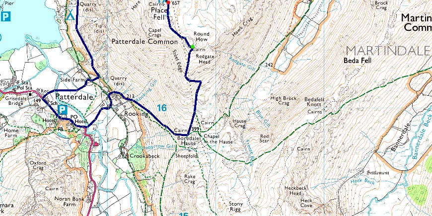
Patterdale - Goldrill Beck - Boredale Hause - Round How - Place Fell - Scalehow Force - Ullswater Shore Path back to Side Farm - Patterdale |
|
| |
|
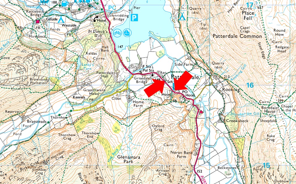
Parking Details and Map |
|
|
| Nearest Post Code: |
CA11 0NW |
| Grid Reference: |
White Lion Hotel - NY 395 315 - Patterdale Primary School NY 394 516 |
| Notes: |
Patterdale alongside Glenridding, acts as a hub for the eastern and far eastern fells, yet unlike Glenridding Patterdale doesn't have a centralised car park. With this said, parking in Patterdale, especially during the height of summer can be a problem with only two main sites to leave your car. The first is very popular with fell walkers and is just opposite the White Lion Hotel. Here you will find a short layby with room for up to five parked cars. Parking is free. The second place to park is found just outside Patterdale Primary School, where you can park on the kerb right outside the school. Here you will find spaces for around three to four well parked cars. Parking is free. |
|
| |
|
Map and Photo Gallery |
|
|
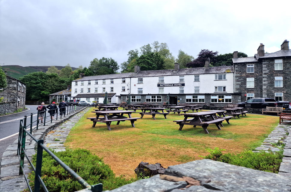 |
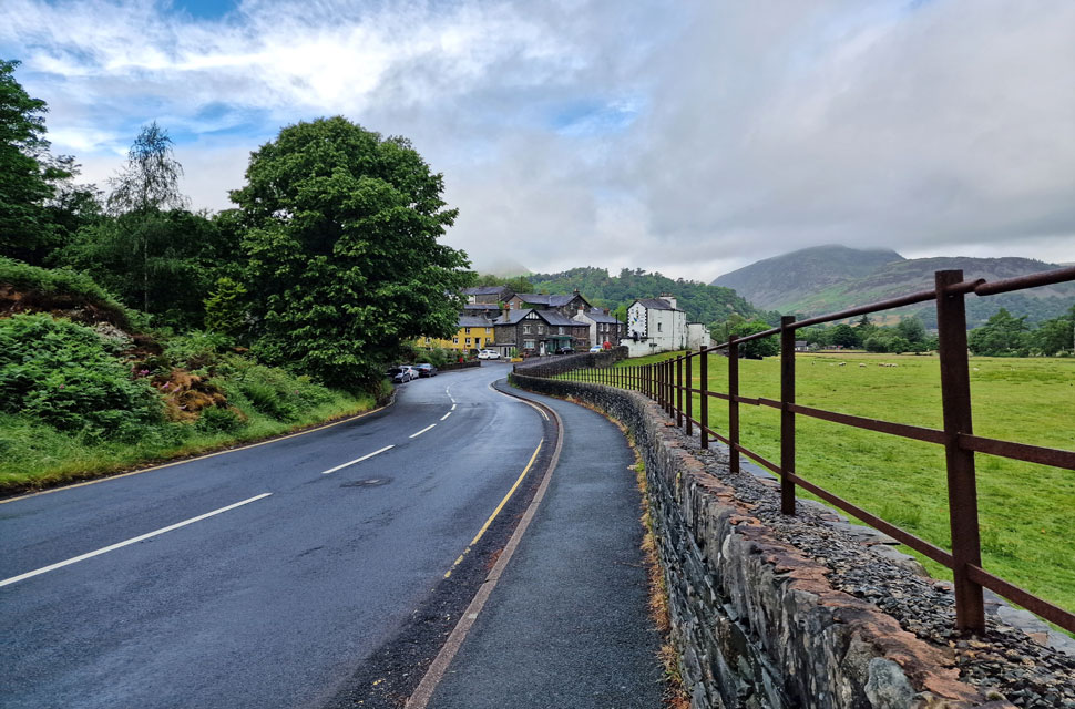
| Passing Patterdale Hotel 8:15am 19°C |
| With the exceptions of Arnison Crag and Birks, the fells to the west of Patterdale were all below cloud, while to the east we could clearly see Place Fell summit, making it a no brainer where we were going to walk. It was a damp and muggy start, and given that rain had been forecast, packs were laden with hydration for the heat and waterproofs for the rain. With the cars locked, we passed through an almost deserted Patterdale watched on by guests eating breakfast at the Patterdale Hotel. |
 |
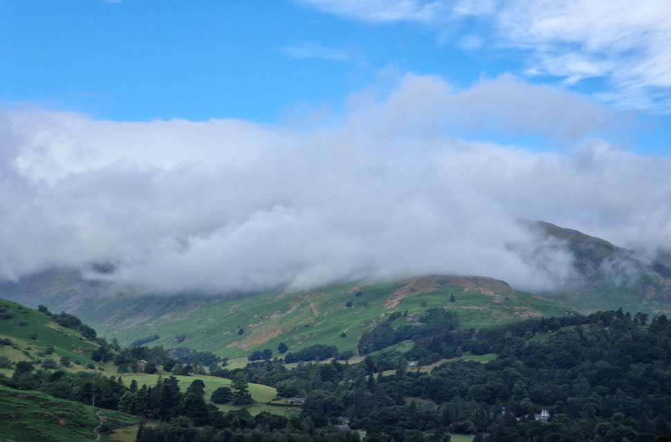
| Looking back on the village of Patterdale. |
| With a cloud topped Sheffield Pike and Glenridding Dodd in the distance. |
 |
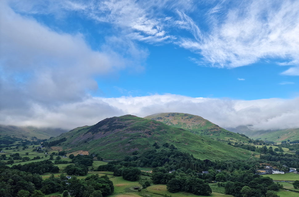
| Blue skies over Grisedale. |
| Revealing a cloud topped Birkhouse Moor. |
 |
| Arnison Crag and Birks. |
| With Patterdale behind us, we began the climb out of Rooking and soon stopped to de-layer, and while doing so, we were passed by a trio of walkers and their dog. "I'm sure you'll be passing us later," they laughed through gasped breath. |
 |
| To the South. |
| We took in the views towards the top of Kirkstone Pass who's surrounding summits were well below the cloud. |
 |
| Arnison Crag and Birks from Boredale Hause. |
| Boredale Hause was soon reached by which time those parting skies had began to cloud over again as Birks enjoys the last of the sunshine. |
 |
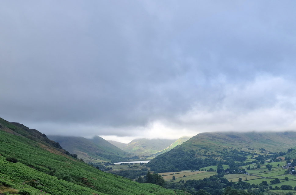
| Looking down on Boredale Hause. |
| With Brothers Water just below the cloud line over on the right. |
 |
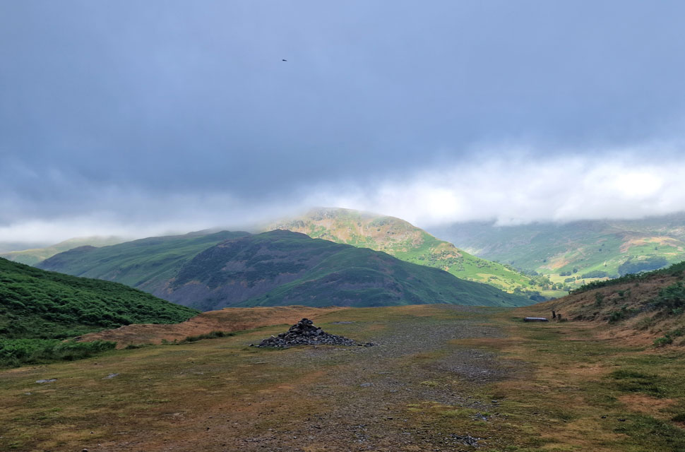
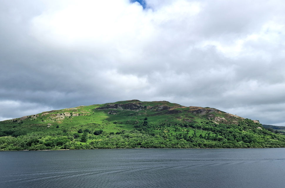
| Place Fell from Round How. |
| The trio was also making their ascent on Place Fell and had disappeared over the summit shoulder by the time we arrived at the rock grove below Round How. By now the wind was getting stronger, and to make conditions worse, it began to drizzle. The rock grove provided the shelter we needed to down packs and add our waterproof jackets before reshouldering and making our way towards the summit. |
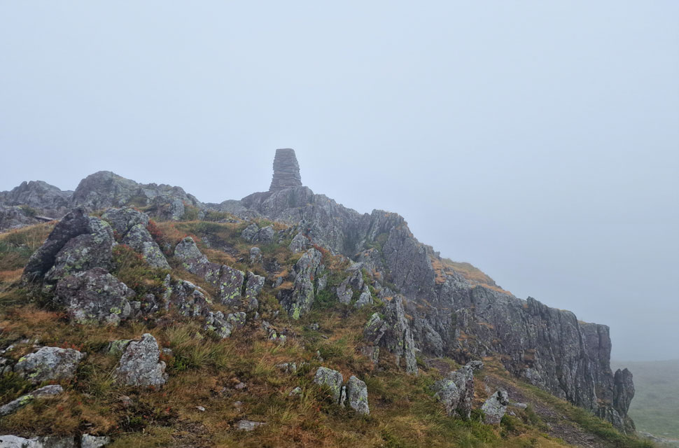 |
| Place Fell summit. |
| It was a bleak traverse between Round How and reaching Place Fell summit, where the wind was gaining even more strength. The trio of walkers were by now on the other side of the summit, seeking shelter in the grassy hollow while being lashed by wind and rain. It was no place to stop, and after a quick hand wave, we made our way off the summit and began our descent via Hart Crag. |
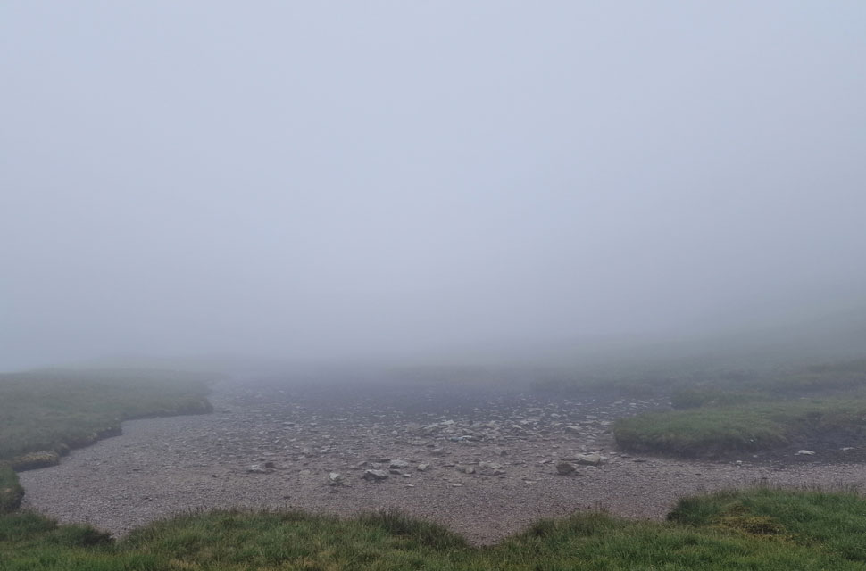 |
| Passing the unnamed Tarn along the way. |
| Well, whats left of it now that its all dried up. |
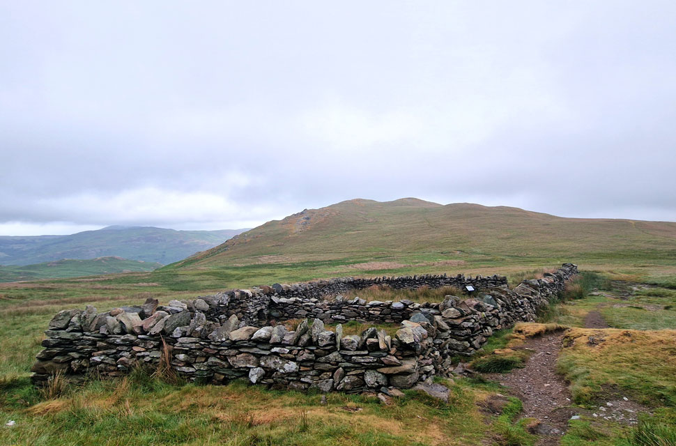 |
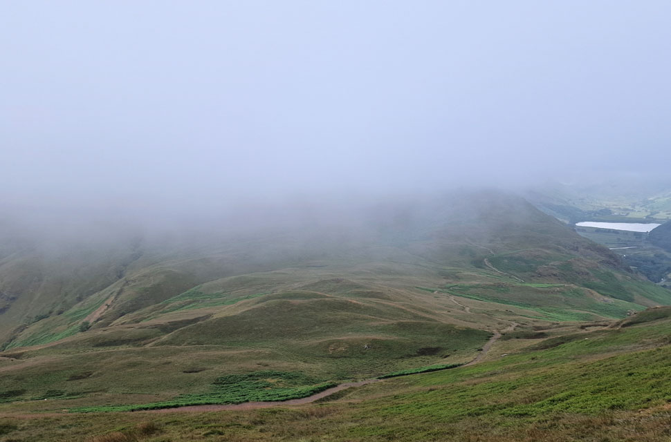
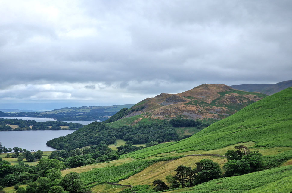
| High Dodd from the sheepfold at Low Moss. |
| Finally out of the cloud and, its stopped raining too. We continue our descent via Low Moss Gill located at the low point over on the left. |
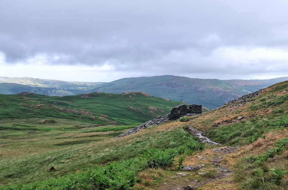 |
| Beyond the ruined mining hut... |
| ...Birk Fell and Gowbarrow. |
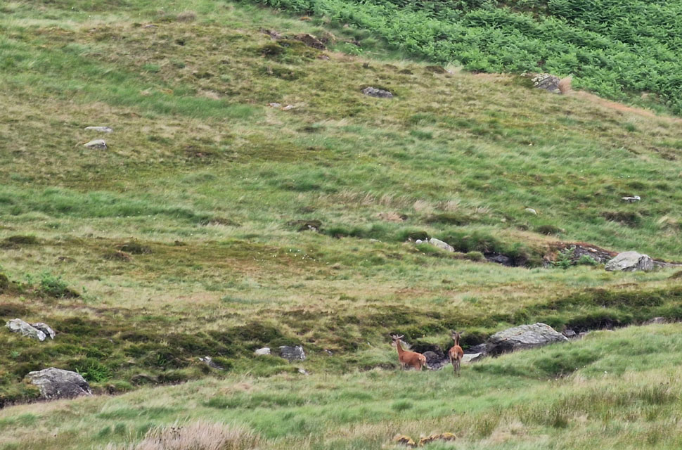 |
| David spots two Deer. |
| I'm sure the Deer had spotted us first, as it was their movement alongside Scalehow Beck that first alerted David. The Deer crossed the beck, then disappeared into bracken below Bleaberry Knott where despite our best efforts we wouldn't see them again. |
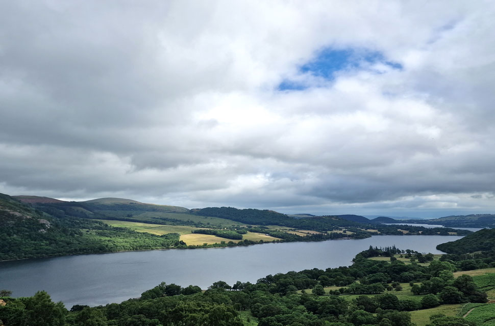 |
| Little Mell Fell and Ullswater comes into view. |
| Low Moss Gill flows into Scalehow Beck which in turn flows into Scalehow Water Falls, which could be heard over to our left, although I suspect, there was a lot less water flowing than normal. The clouds would lighten, and every now and again the sun would poke through, bringing with it the same type of heat blast you get when you open the oven door. It wasn't just humid; it was hot, hot, hot. |
 |
| Looking over to scorched Hallin Fell. |
| |
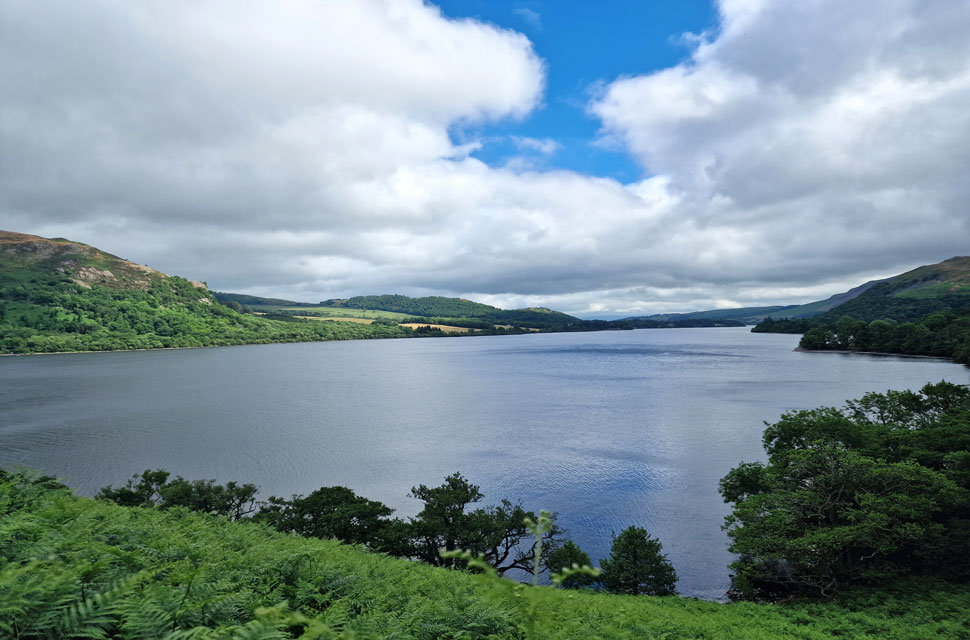 |
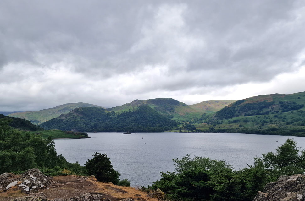
| Ullswater. |
| We joined the footpath below and began the walk back to Side Farm high along the eastern shores of Ullswater. |
 |
| Gowbarrow Fell in the sunlight. |
| Seen not long after Ullswater Steamer Lady of the Lake had sailed by. |
 |
| Birkhouse Moor, Glenridding Dodd, Heron Pike, Sheffield Pike, Glencoyne and Glencoyne Brow. |
| Not forgetting Norfolk Island in the centre of the photo. |
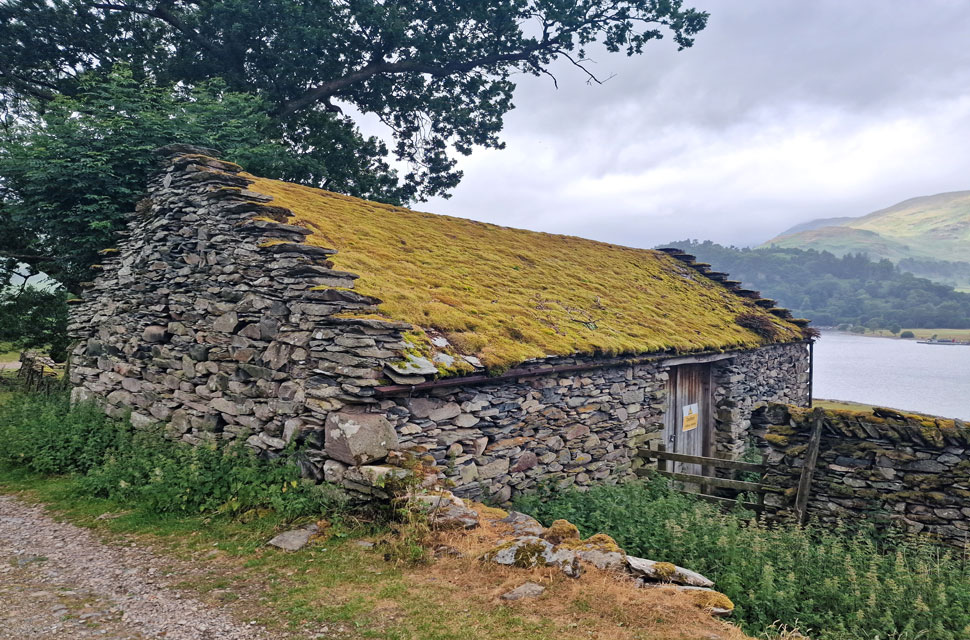 |
| Ruined building close to Side Farm. |
It began to drizzle with the threat of it getting much heavier as we made our way towards Side Farm, each of us hoping that the rain held off so we wouldn't have to unpack our waterproofs in the now, sweltering humidity. On this path, we passed more day visitors, including a trio of electric mountain bikers who made light work of the rocky inclines, but with that said, the trio stopped at close intervals as we caught them up time and time again.
From Silver Point the path widens, and we leave the ups and downs behind, where we were stopped by a comical couple who were looking to get closer to the lake. We're on our second domestic of the morning' the chap chipped in. We advised them they couldn't get any closer with the exception of Silver Point, where, they'd have to descend to the waters edge. The lady looked slightly disappointed, and we were thanked before continuing along the path.
The tents from Side Farm Camp Site appeared over the wall, where David spotted a tent that had been oddly pitched onto the flat bed of a Transit Van. We all shrugged our shoulders before turning right onto the track, which will lead us through Side Farm and directly back to Patterdale. Drizzle came and went, mixed with a stifling humidity. We passed Goldrill Beck glancing up stream where it would eventualy flow into Ullswater and typically, clearing skies beyond. |
|
| |
| Back to top |
 |
|