 |
Caw & Stickle Pike from Ulpha |
 |
 |
1st July 2023 |
 |
|
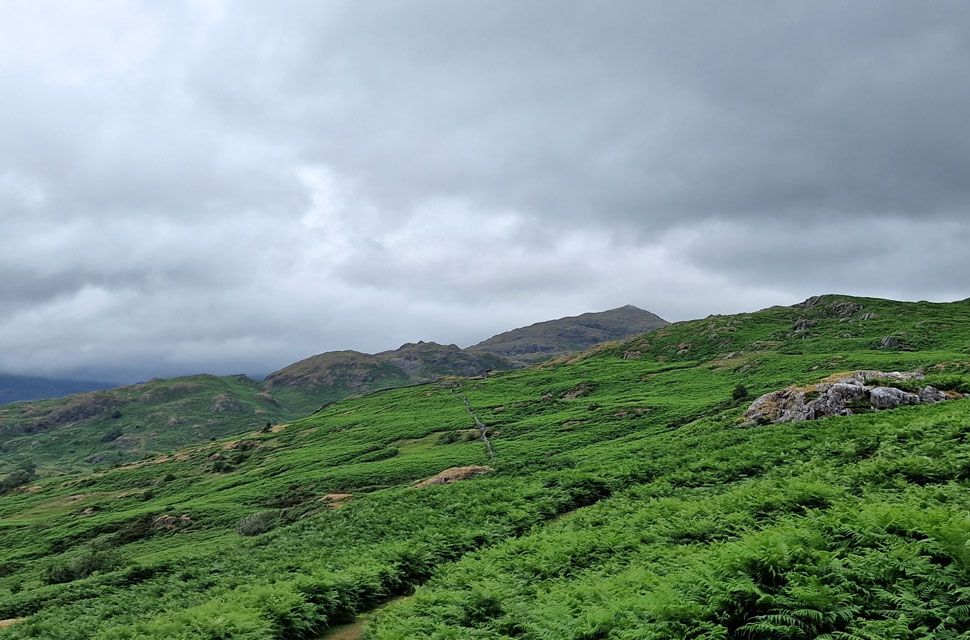
Too eager to return to the Dunnerdale Fells, despite a less than average forecast today, we finally got to walk Caw and Stickle Pike choosing to start our walk from the tiny hamlet of Ulpha. Having never walked this particular area of Lakeland I've enlisted the help of two guides who go by the names of David Hall & Rod Hepplewhite.
I've driven through Ulpha more times than I care to mention often staring up at Caw and Great Stickle from the road below usually on my way to Wasdale or Eskdale and more often than not uttered the words "I really need to get up there" before the bracken flanked hills disappeared in my rear view mirror.
Dunnerdale is an area of escapism yet attracts not just those local to the area but many a Lakeland walker in search of solitude, ruggedness and wide vistas away from the maddening crowds of Ambleside, Grasmere or Keswick. The Dunnerdale Valley is to the south west of Lakeland what Swindale is to the far east and long may it stay that way. |
|
| Wainwright Guide Book |
 |
| The Outlying Fells |
| But, it is the view to the Scafells, at any time of the year that will win most hearts. Ladybirds come and go but Scafell is always there. |
 |
|
|
|
| |
|
Overview |
|
|
| Ascent: |
2,734 Feet - 833 Metres |
| Outliers: |
3, Caw - Stickle Pike - Great Stickle |
| Birketts: |
Fox Haw |
| Weather: |
Overcast Throughout The Morning Turing Warm & Sunny by Midday. Very Strong Winds at Summit Height. Highs of 21°C Lows of 16°C |
| Parking: |
Roadside Parking , St John Baptist Church, Ulpha |
| Area: |
South Western |
| Miles: |
9 |
| Walking With: |
David Hall & Rod Hepplewhite |
| Ordnance Survey: |
OL6 |
| Time Taken: |
5 Hours 35 Minutes |
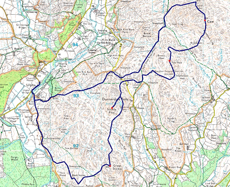
| Route: |
Ulpha - Birks - Kiln Bank Cross - Park Head Road - Caw - Long Mire - Fox Haw - Kiln Bank Cross - Stickle Pike - Great Stickle - Black Stones - Ulpha |
|
| |
|
Parking Details and Map |
|
|
| Nearest Post Code: |
LA20 6DT |
| Grid Reference: |
SD 197 932 |
|
| |
|
Map and Photo Gallery |
|
|
 |
| |
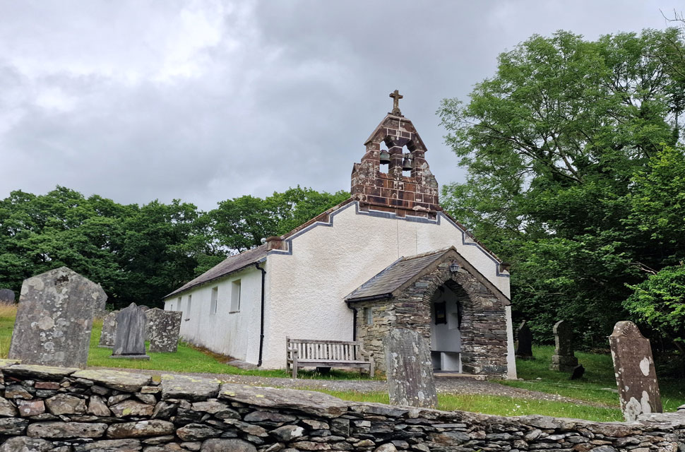 |
| St John the Baptist Church, Ulpha 8:15am 16°C |
It had been quite a damp week, and we had predicted the ground to be wet. Adding that today's forecast had a mix of high clouds, sunshine, and strong winds as we kitted up at the lay-by opposite St. John's Church, you'd be forgiven for thinking that we plunged right back into Spring with gusts at all levels. It had taken Rod almost three hours to drive from Sunderland and just over two hours for myself, not helped by getting stuck behind a slow-moving lorry along the A593.
David and Rod were already parked up when I arrived, so I set about kitting up as soon as I left the car, and I was looking forward to breaking in a new pair of Meindl Bhutan boots that arrived yesterday. The strange thing was that no matter how many new boots I've been through, I still hate mudding a new pair, but needs must. Despite the damp ground underfoot, we're all wearing shorts and windproof jackets, which are starting to earn their money right from the start. With the cars locked, we passed St. John's and its ancient graveyard, which towered above the road and began the short walk to Ulpha Bridge. |
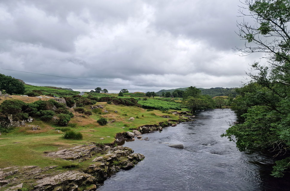 |
| The River Duddon from Ulpha Bridge. |
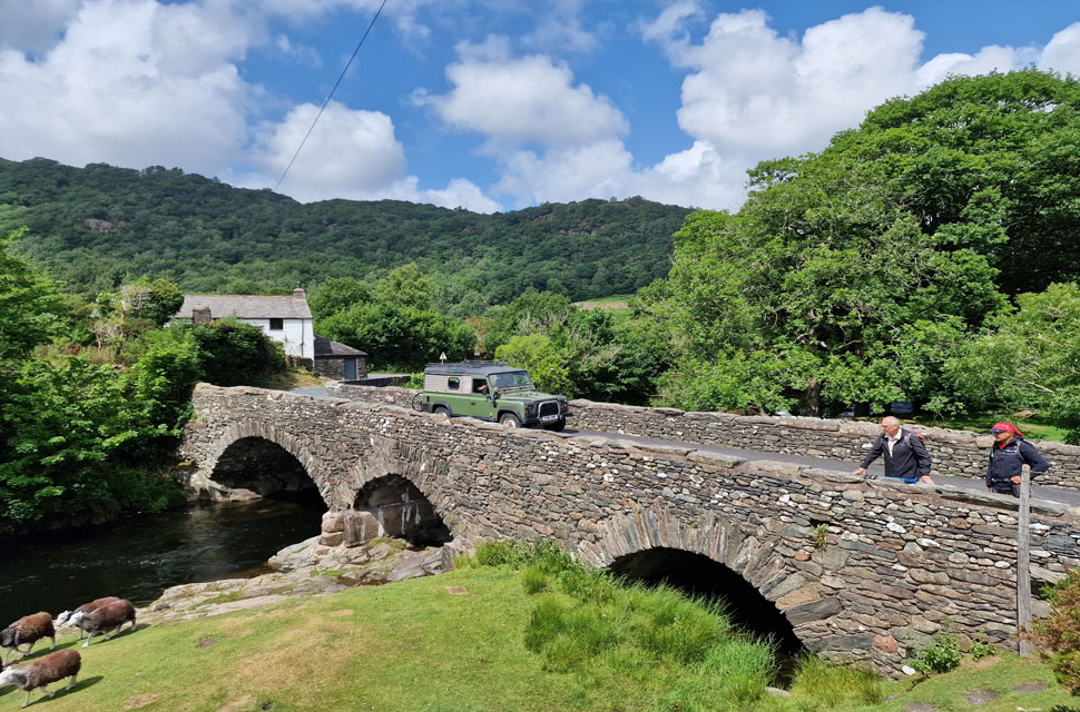
| A short time later, we had reached Ulpha Bridge, where we stopped to gaze down on the Duddon flowing below. This section of the Duddon gets quite busy with sunbathers, picknickers, and swimmers during the Summer months, in particular the river bank over on the left, which often resembles Brighton beach. |
 |
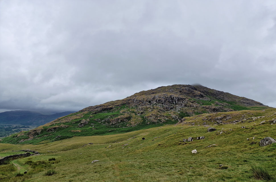
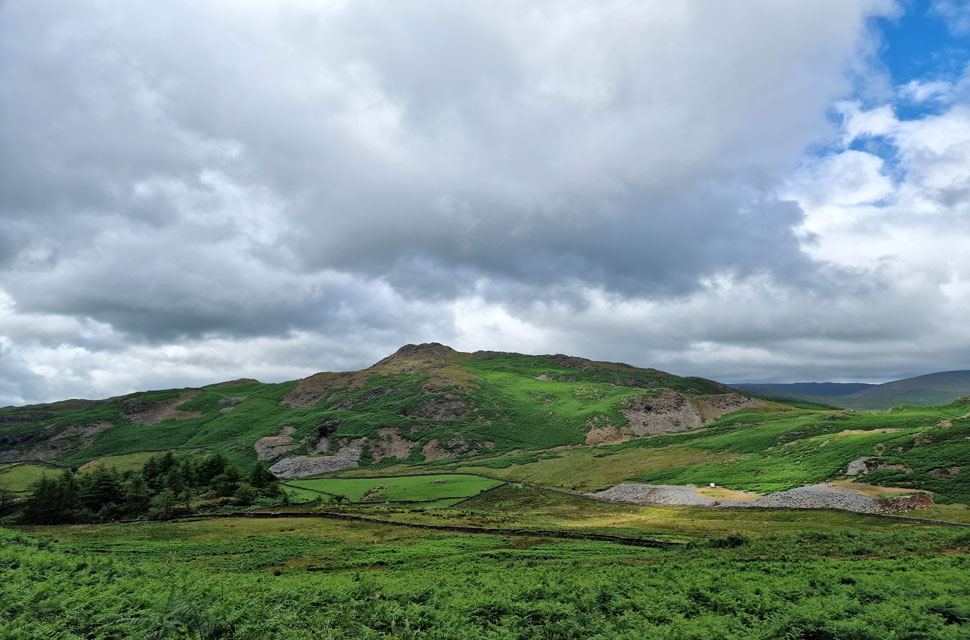
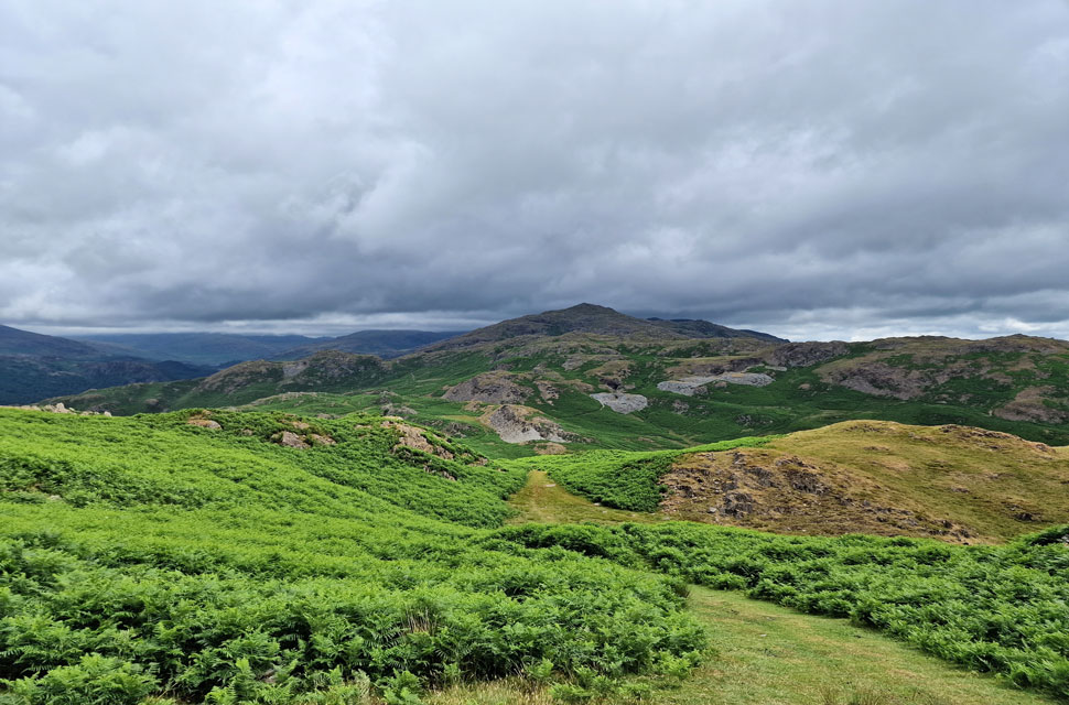
| Brock Barrow (left) and Caw (right) |
| From Ulpha Bridge, we joined the track, passing Low Birks Cottage and eased ourselves onto the fell side as we made our way towards the top of Kiln Bank Cross, the fell road that links the Dunnerdale valley with Broughton Mills. |
 |
| Brock Barrow and Caw. |
| We followed the path through at times, shoulder high bracken until Kiln Bank Road was reached, which we ascended just before the top was reached where we took a short cut via a grassy footpath to link up with Park Head Road (path) |
 |
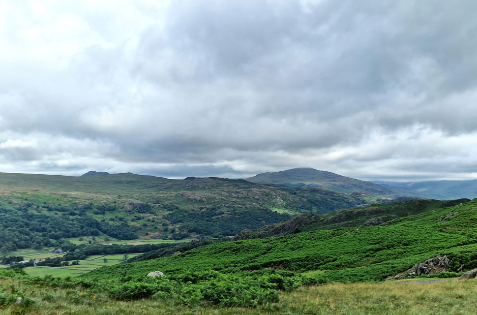
| Looking beyond the Dunnerdale Valley... |
| ...towards The Pike (left) and Hesk Fell (right) |
 |
| Brock Barrow from Park Head Road (path) |
| With Stickle Pike over our right shoulders and Caw out of view, we continued along Park Head Road, which passes between Brock Barrow on the left and the lower slopes of Brown Haw on the right. |
 |
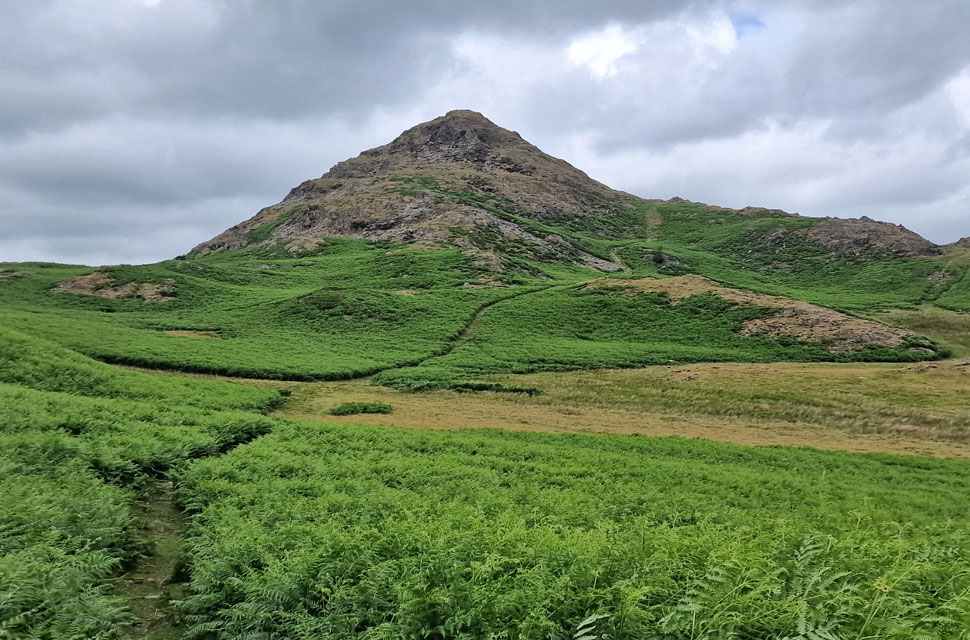
| Caw from Park Head Road (path) |
We topped out on Park Head Road before it began its descent towards Seathwaite. While David and Rod stuck to the path (seen left) I crossed this grassy bank while enjoying uninterrupted views of Caw.
Ascent on Caw: There's nothing stopping you from heading up through the crags, but today we followed a well worn path through the bracken that swung around the rear of the fell before joining a grassy path that ascended towards the old mine buildings before continuing up towards the summit. |
 |
| Harter Fell (below cloud) Wallowbarrow Crag (left) and Hollin House Crag (right) from Caw. |
| |
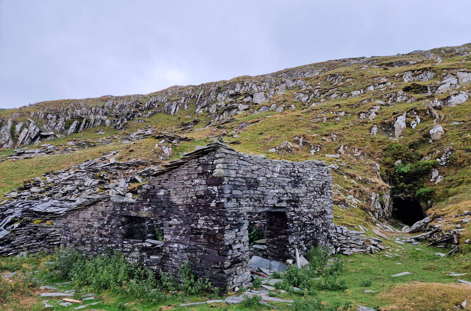 |
| Old mine building and level, Caw. |
| We continued to follow the worn path before reaching Caw Mine and old level which hadn't been sealed off and open to explore. From the mine we bear right and ascend via a wide, steep grassy rake towards the summit shoulder. |
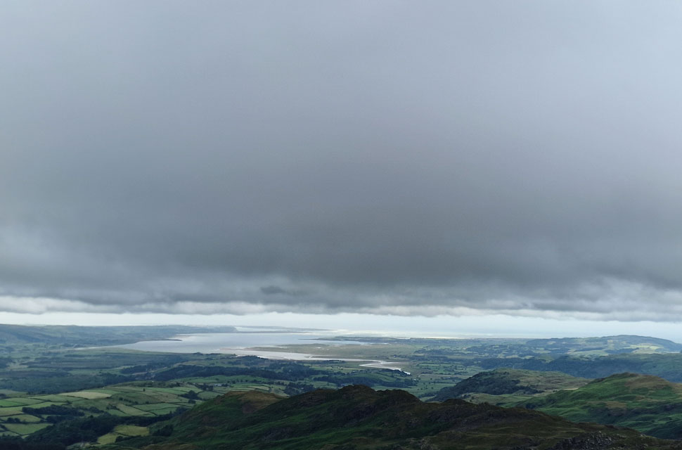 |
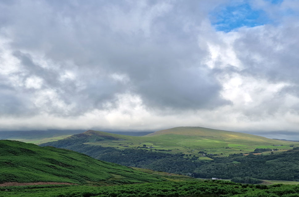
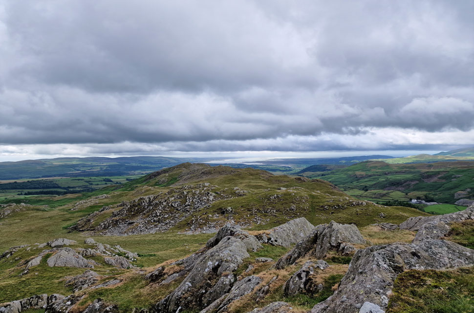
| Views towards the Duddon Estuary and Cumbrian coast. |
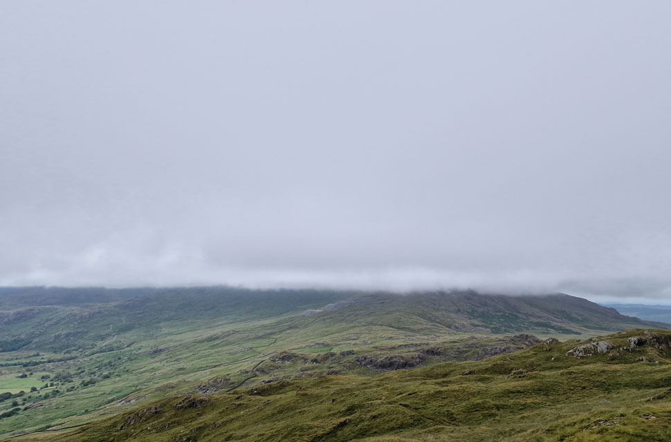
At the top of the rake, we passed two cairns, and even though we'd been aware of the wind, it wasn't until we were just below the summit that we realised how strong it was. Here, we take in the view towards the Duddon Estuary, where we could clearly see white horses being whipped up at the mouth of the estuary. |
 |
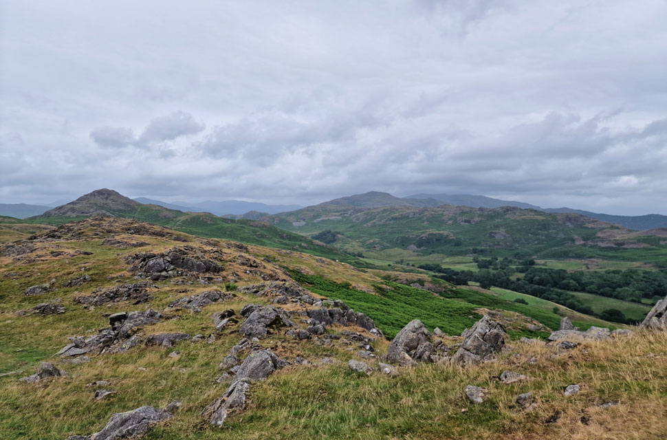
| Looking East towards Walna Scar. |
| Here we take in the view towards Walna Scar, Grey Friar, Swirl How, Brim Fell, Dow Crag, Buck Pike, Brown Pike and even White Maiden are all below cloud. |
 |
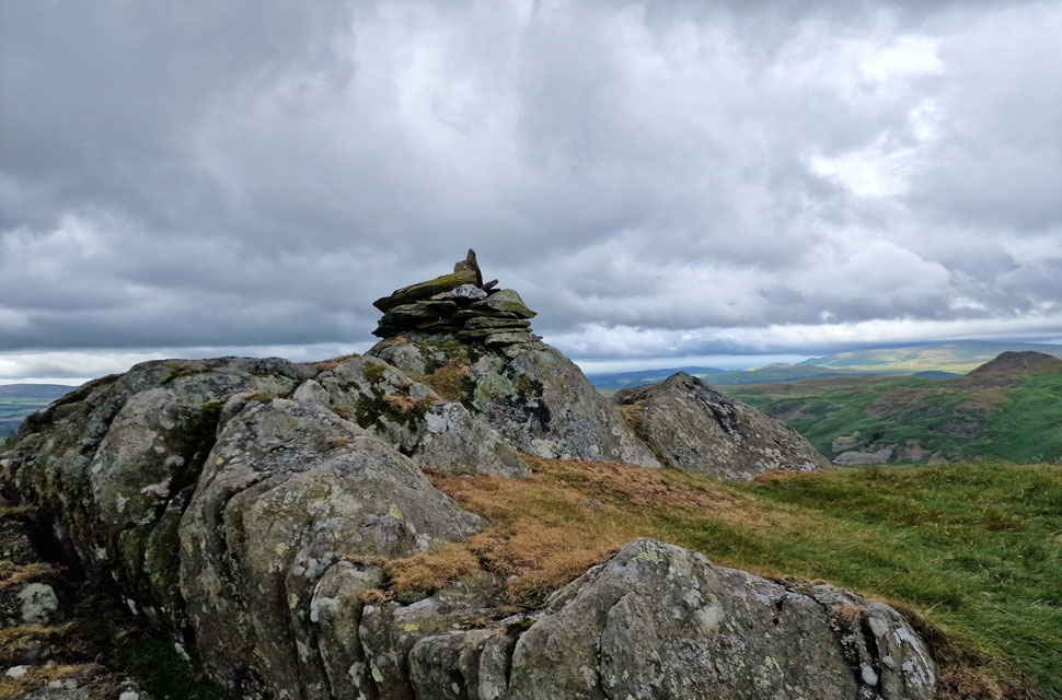
| Caw summit. |
| First summit and definitely not the last. |
 |
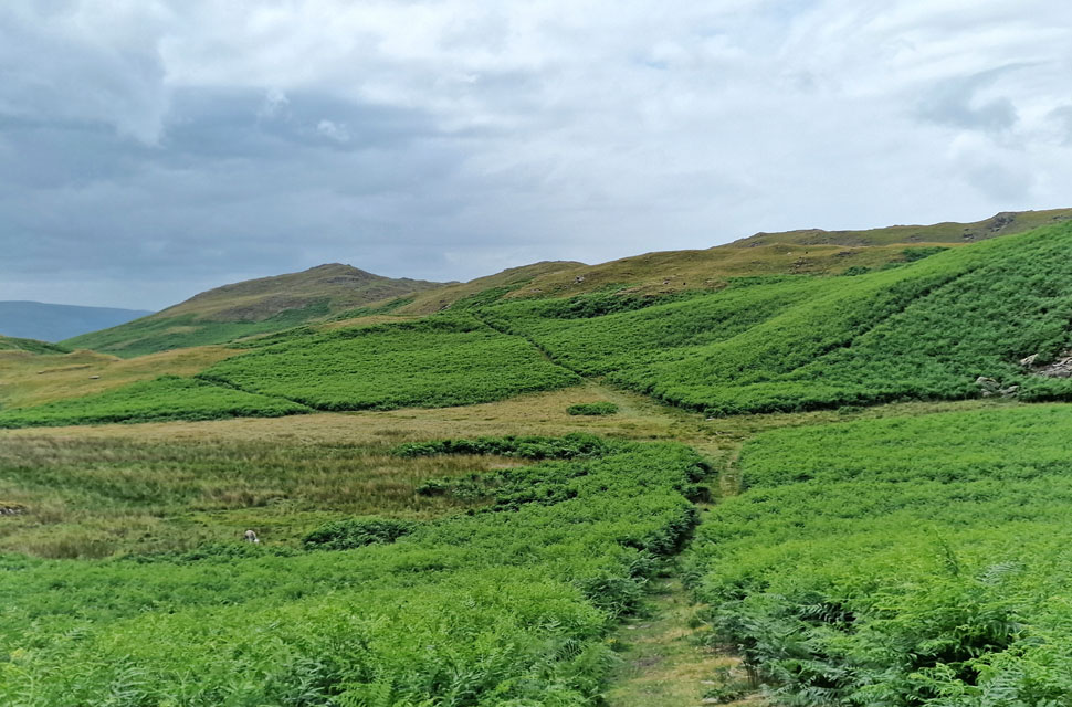
| Looking beyond Long Mire towards Fox Haw, Stickle Pike and Black Combe in the distance. |
While being battered by the wind, David came up with an idea: instead of descending Caw and heading for Jackson Ground, we would instead cross Long Mire (foreground) and make an ascent on Fox Haw instead. After two minutes of plotting our descent of Caw, we left the summit with our eardrums only just intact! |
 |
| Fox Haw. |
We left Caw and began the steep, craggy descent, sometimes each going our own way and often losing sight of one another behind the craggy outcrops before crossing Long Mire then began the steep ascent of the Fox Haw Ridge, summiting its subsiduary summit first before making our way to the actual summit. |
 |
| Fox Haw summit with Stickle Pike and Black Combe in the distance. |
| It was now mid morning and we were starting to see the odd break of sunshine, no let up in the wind though. |
 |
| The view along the ridge towards Raven's Crag. |
| |
 |
| Caw and Caw's subsiduary summit of Tail Crags from Fox Haw. |
| Besides the struggle to keep upright it looks like rain is on its way. |
 |
| Descending Fox Haw. |
| |
 |
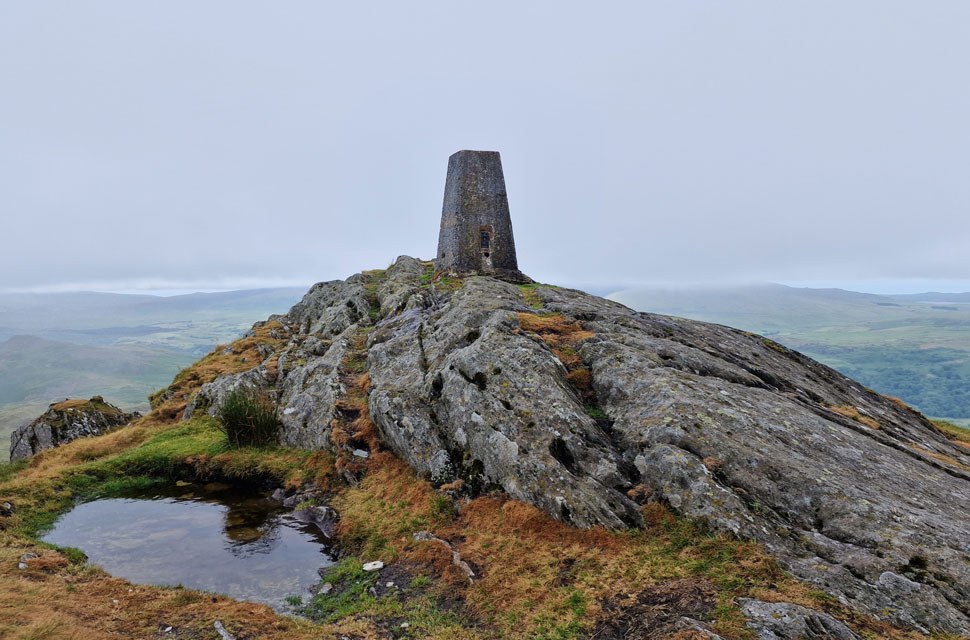
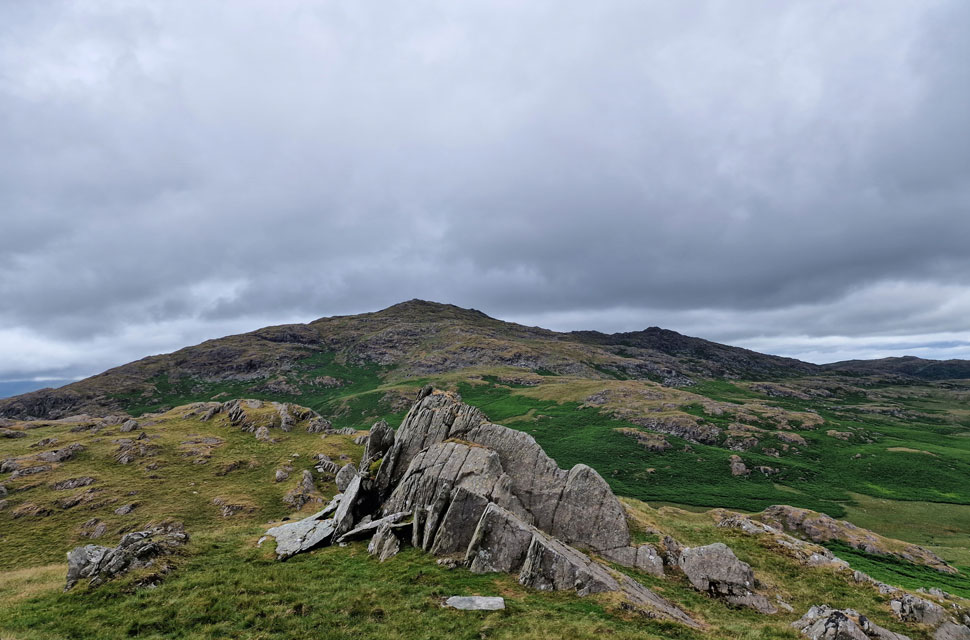
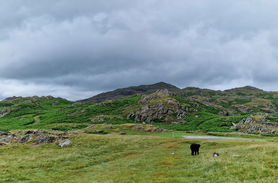
| Stickle Pike. |
| This area is known as Hoses with Hoses Farm out of shot to the left of the trees. The top of Kiln Bank Cross can be seen far right which is where we're heading next. |
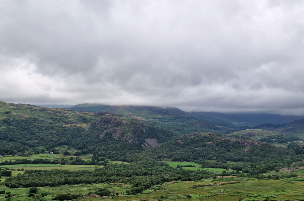
 |
| Green Crag, Crook Crag and Harter Fell (Eskdale) |
| Seen shortly after crossing the top of Kiln Bank Cross. |
 |
| Caw and Fox Haw from the top of Kiln Bank Cross. |
| We'd hit some patchy rain but thankfully nothing really came of it, a few minutes later the sun was out and with it came an increase in temperature. |
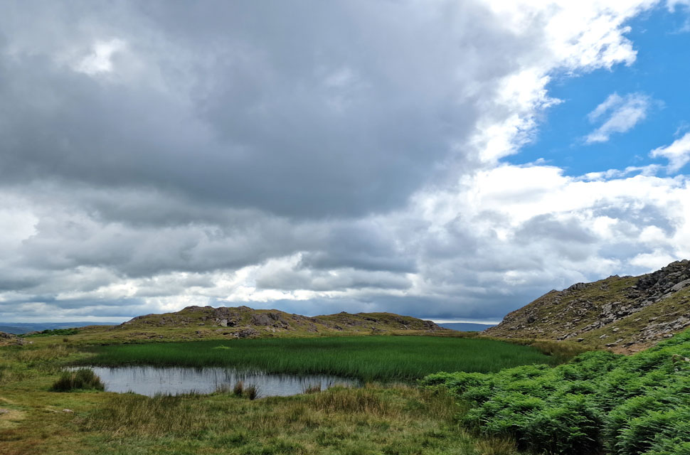 |
| Stickle Tarn. |
| We began our ascent on Stickle Pike and paid a visit to Stickle Tarn which was almost overgrown with reed. |
 |
| Lunch with a view. |
| I hadn't given lunch a thought until Rod mentioned it, and after summiting Stickle Pike, we set about finding a spot out of the wind, finding a grassy hollow just below the summit where we sat whilst watching showers pass to the south. |
 |
| Retracing our route down Stickle Pike with views of Caw. |
| With lunch over we packed up and doubled back the way we had come before heading south around Stickle Tarn as we made our way towards Great Stickle. |
 |
| Looking back on Stickle Pike. |
| |
 |
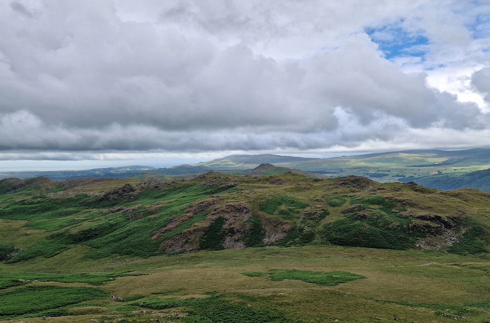
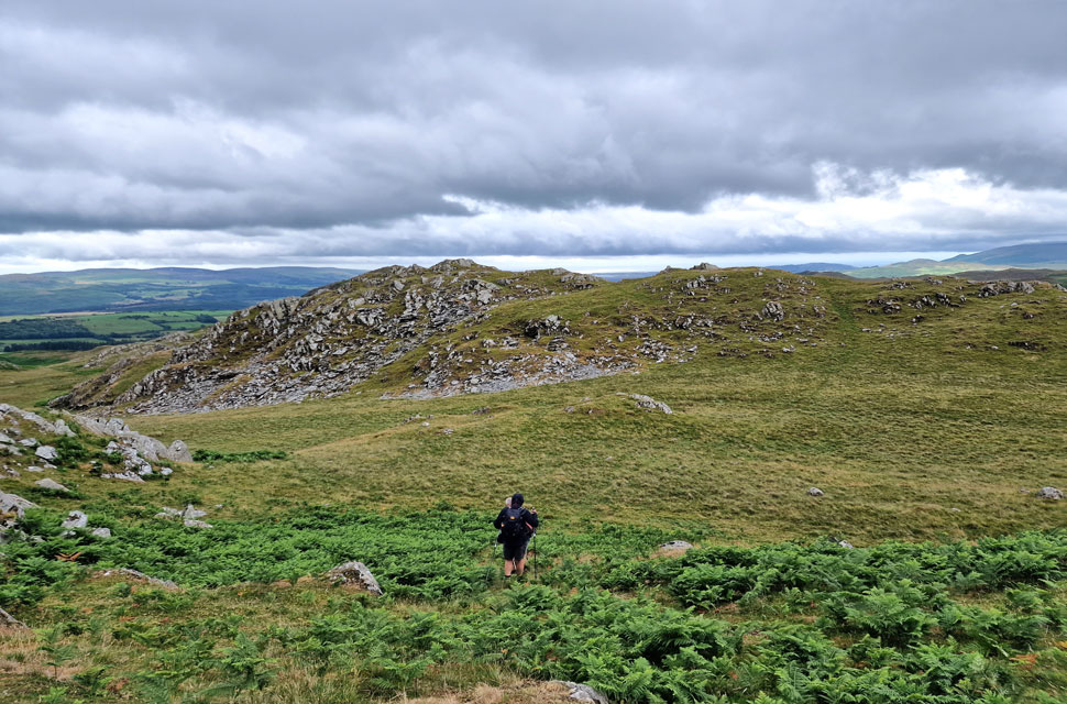
| Great Stickle ahead. |
The sun was out now, and when we found shelter from the wind, the temperature rose almost instantly. We had only seen one mountain biker and two walkers from a distance all morning as we were passed by a solo woman walker who had just descended Great Stickle.
We shared pleasentries, and just as we were about to leave, she mentioned that she'd almost caught a twenty-pound note dancing about in the wind but it had disappeared in the bracken. I wasn't sure if she was joking, so I joked, "You do realise we're going to be here till midnight trying to find it" but she was deadly serious, "Three times I almost had it, but the wind just took it" |
 |
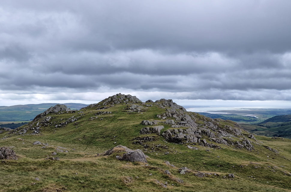
| Stickle Pike, Fox Haw and Caw from Great Stickle. |
Enlightened, we were going to find that twenty-pound note, but our hopes were soon dashed the moment we topped out at the summit, where we experienced perhaps the strongest wind all day and standing upright was a struggle. Needless to say, we didn't hang around searching for that twenty-pound note. |
 |
| The Pike comes into view as we begin our descent towards Ulpha. |
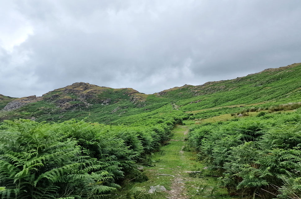
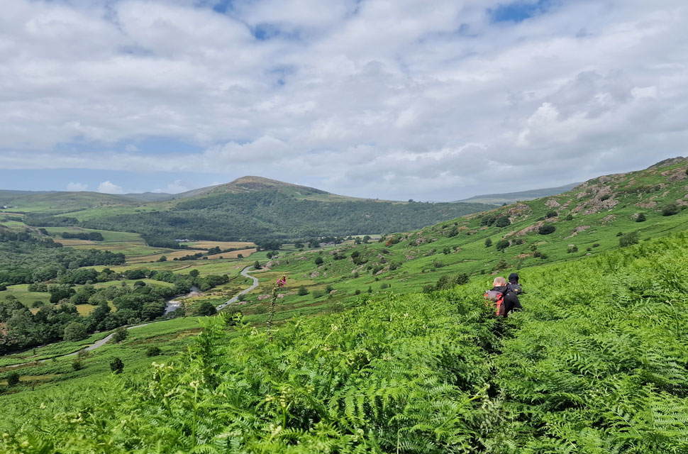
Under hot afternoon sunshine, we began our descent from Great Stickle, reverting to hand signals because we simply couldn't hear ourselves speak over the wind. We spotted a stone cairn on the edge of the upper ridge and began our descent via a lower ridge from where the road came into view.
The wind caused the bracken to dance like waves, almost to the point of becoming hypnotic. Despite the shoulder-high bracken, the path was easy to follow, with the added bonus that the bracken wasn't tangling our feet. What an absolutely delightful descent. |
 |
| Heading back to Ulpha. |
| |
 |
| Ulpha Bridge. |
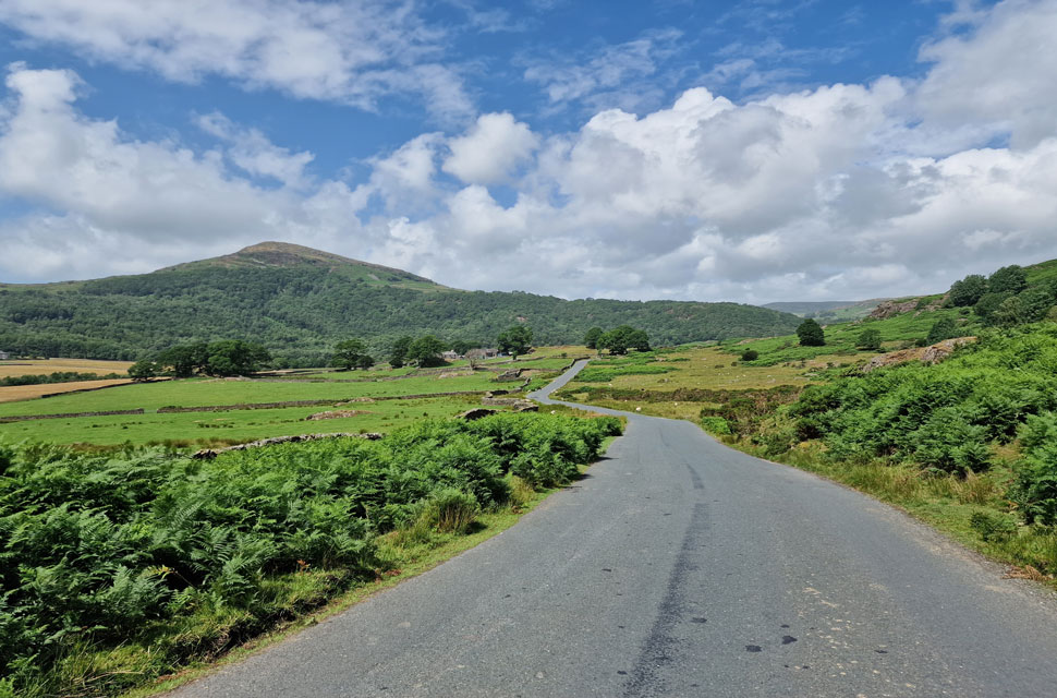
The skies continued to clear, and the sun beat down on Ulpha, but with the cars less than half a mile away, we kept our jackets on and sweated it out. Picknickers were already starting to line the Duddon, while sheep flanked the fields either side of the road, or those brave enough soaked up the sunshine in the middle of the tarmac, causing traffic to slow to a crawl.
Ulpha Bridge was reached, where we paused to take in the view of the River Duddon, a river that began life high on Wrynose Pass bounded by Little Stand, Cold Pike and Grey Friar. St John the Baptist Church is minutes away now and we took in the last few minutes of road walking under a warm afternoon sun as the River Duddon fell away to our right. |
|
| |
| Back to top |
 |
|

