|
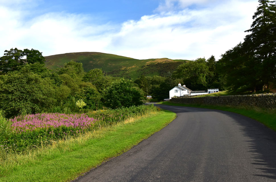
Blencathra from Mungrisdale |
 |
 |
9th July 2023 |
 |
|
Due to various reasons, the trio couldn't walk this weekend; in fact, I was unsure if I was going to walk at all due to the mixed weather conditions and a get-together with my brother and his wife on Saturday afternoon, which always tends to last into the early hours. Luckily, my brother was still feeling the effects of a previous day's BBQ which meant he wasn't up for two late nights on the bounce and had retired by early evening.
The initial plan was to head to the Lakes for lunchtime. Around the sametime, the forecast was set to brighten, but after spying a weather window for the north of the Lakes I set about planning an ascent of Blencathra from the hamlet of Mungrisdale.
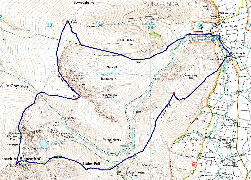
It's not uncommon for me to set off from Mungrisdale for a hike up Blencathra, it's one of my favourite starting points because I usually include Bannerdale Crags east ridge into the route. But today I wanted to use a section of path on the south flank of The Tongue, which overlooks the Bannerdale Valley, from where I would gain Bowscale Fell before going onto Bannerdale Crags, Blencathra finally ending the walk on Souther Fell. |
|
| Wainwright Guide Book Five |
 |
| The Northern Fells |
| This is a mountain that compels attention, even from those dull people whose eyes are not habitually lifted to the hills. |
 |
|
|
|
| |
|
Overview |
|
|
| Ascent: |
2,904 Feet - 885 Metres |
| Wainwrights: |
4. Bowscale Fell - Bannerdale Crags - Blencathra - Souther Fell |
| Visiting: |
3, Atkinson Pike - Doddick Fell Top - Scales Fell |
| Weather: |
Predominently Sunny, Warm In The Valleys, Cool Across The Summits. Highs of 26°C Lows of 16°C |
| Parking: |
Roadside Parking, Mungrisdale |
| Area: |
Northern |
| Miles: |
8.7 |
| Walking With: |
On My Own |
| Ordnance Survey: |
OL4 |
| Time Taken: |
4 Hours 35 Minutes |
| Route: |
Mungrisdale - River Glenderamackin - Bannerdale - Bowscale Fell - Bannerdale Crags - Glenderamackin Col - Atkinson Pike - Blencathra - Doddick Fell Top - Scales Fell - Top of Mousthwaite Comb - Souther Fell - Low Beckside - Mungrisdale |
|
| |
|
Parking Details and Map |
|
|
| Nearest Post Code: |
CA11 0XR |
| Grid Reference: |
NY 364 730 |
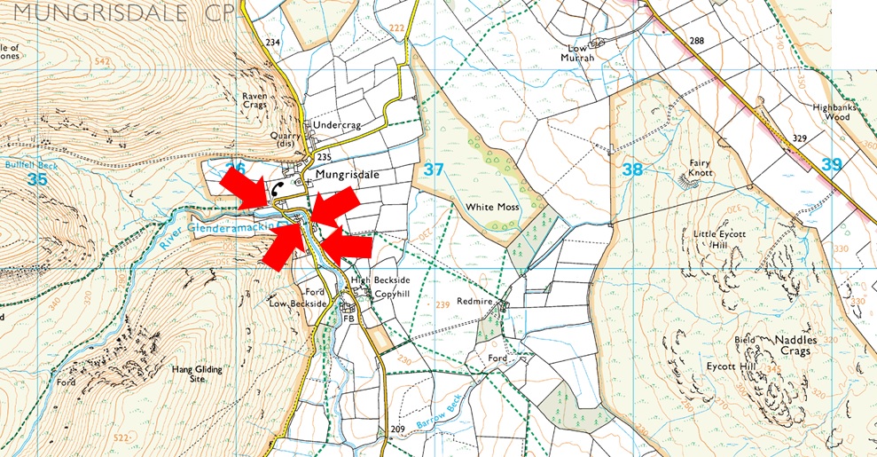
| Notes: |
The village of Mungrisdale is quite small, with limited parking. The lower right arrow points towards a grass verge on the left prior to entering the village with room for around five cars, parking here is free. The lower left arrow points towards the Mill Inn, which has a car park to the rear and is for guests only. The upper right arrow is the main car park in the village, which is found opposite the village hall, where a sign advises users to use the honesty box outside the village hall. The upper left arrow points towards street parking found at the northern edge of the village, to locate it, turn left once the red phone box is reached. |
|
| |
|
Map and Photo Gallery |
|
|
 |
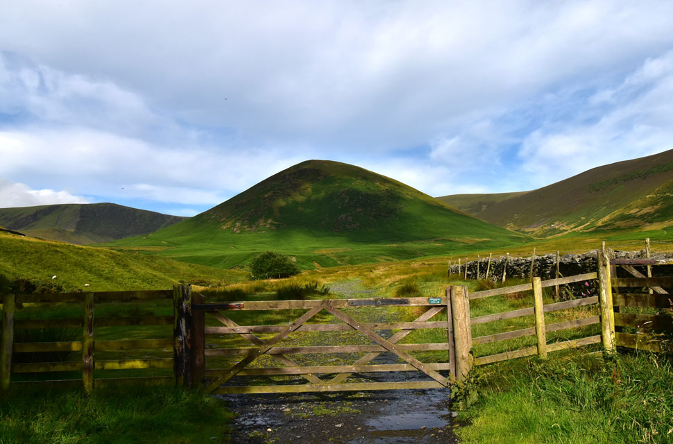
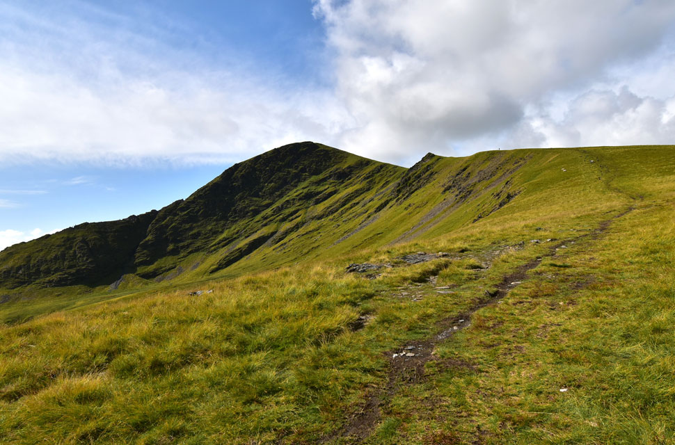
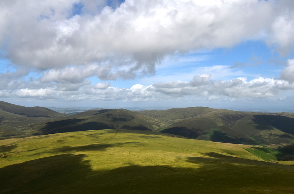
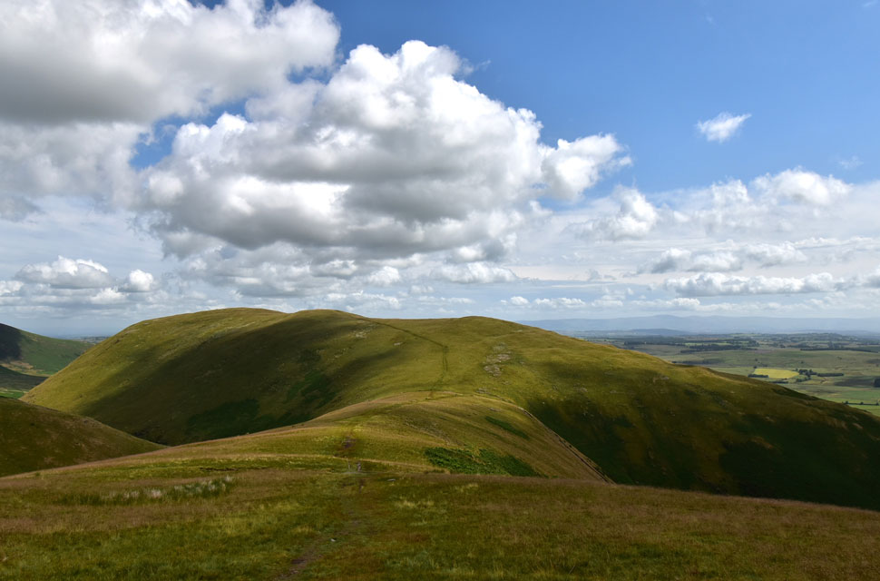
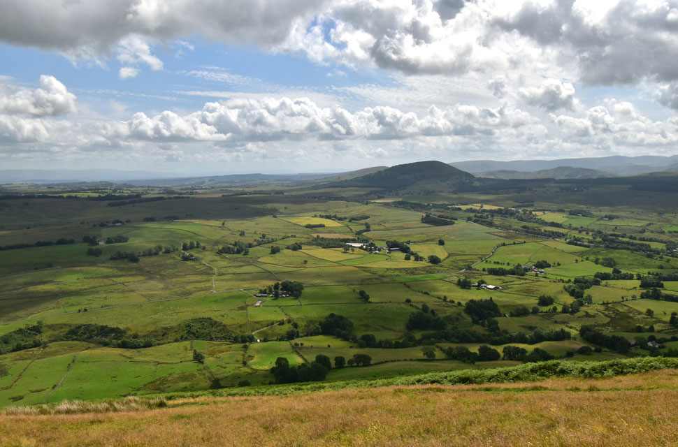
| Bowscale Fell East ridge from Mungrisdale 16°C 8:15am |
It was cloudy when I left home, but the skies began to part once I had passed Lanscaster, and true to form, the forecast had stayed as it said it would, arriving at Mungrisdale under warm morning sunshine. There was only one other car parked up, whose owner I would cross paths with later in the walk.
It was lovely and quiet; the only thing disturbing the silence were the rapids of the River Glenderamackin after last night's heavy downpours. It's too warm to add any more layers other than my shorts and a technical T, but I pack a light windproof just in case. After a final sweep of the boot, I lock my car and head towards the heart of the village, passing the Mill Inn and the odd early morning dog walker. |
 |
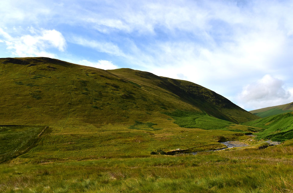
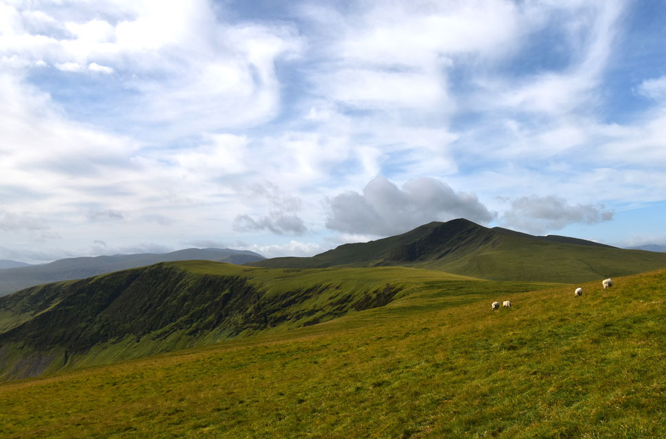
| Bannerdale Crags East Ridge, Bannerdale, The Tongue, the Bullfell Valley and Bowscale Fell. |
I left a sleepy Mungrisdale behind and was surprised to find, upon reaching this gate, that there were three groups of two walkers ahead of me, not including a chap and his dog walking towards me. I could only assume they had stayed at the Mill Inn, given how quiet the village car park was. Here I head towards the footpath you see just above the tree, which skirts the south flank of The Tongue above the Bannerdale Valley.
Unbeknown to me, my friend Maggie Allen was also here today, exploring the highest remaining patch of ancient Atlantic oakwood in England, which can be found in the Bullfell Valley over on the right. |
 |
| The huge mass of Souther Fell. |
I shared a 'morning' as I passed the dog walker, after which I spotted one of the couples making a direct ascent on The Tongue which was almost overgrown with bracken.
The other two couples crossed the footbridge across the Glenderamackin and followed its course through Bannerdale which left me guessing where they making an ascent on Bannerdale Crags east ridge, and if so, were they aware how eroded and boggy the path was, more so after last nights rain. I guess they would soon find out. |
 |
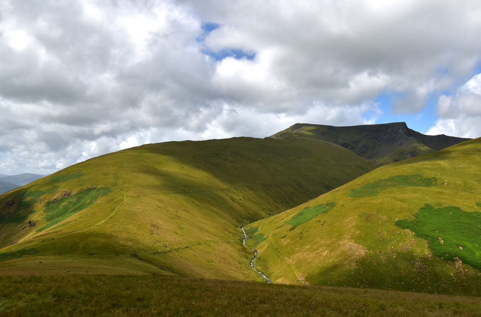
| Looking across Bannerdale towards Bannerdale Crags East Ridge. |
| With Souther Fell and Mousthwaite Comb which I'll be crossing on the return leg of the walk. |
 |
| Bannerdale. |
| What an absolutely delightful footpath! I ascend as far as the bracken up ahead before heading steeply right to make a pathless ascent on Bowscale Fell. |
 |
| From my pathless ascent... |
| ...I take in the view towards Bannerdale Crags and Blencathra. |
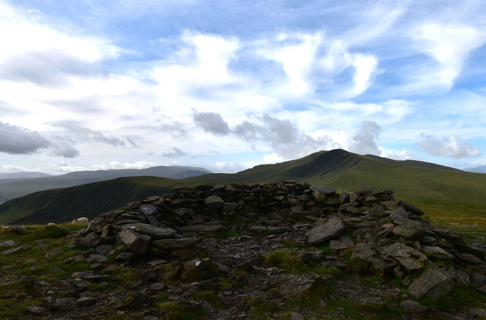 |
| Bannerdale Crags and Blencathra from Bowscale Fell summit shelter. |
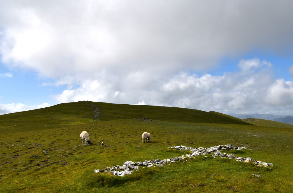
After leaving Bannerdale, I began my pathless ascent on Bowscale Fell where I probably under estimated the sheer size of the summit shoulder and, the hussocky, uneven ground underfoot. Nevertheless, I persevered sighting a herd of sheep that stood at the highest point. The sheep grazed and didn't seem to notice me as I passed through them as the summit cairn came into view, where I spotted a lady sitting at the shelter. "oh you lost the path too, did you?" I smiled back, replying that I had intentionally made the pathless ascent on account that I didn't want to 'double back' on ground already covered, pointing down the summit slope.
As it turned out, she was from Blackrod on the outskirts of Wigan and like me, she walked the Lakeland fells as often as she could. She went on to say, however, that she was slow, especially in descent, due to a hamstring injury. After a few more minutes spent chatting, we parted ways as I began my descent while at the same time spotting the couple below who had just passed over The Tongue. |
 |
| Bannerdale Crags and Blencathra from Bowscale Fell. |
| |
 |
| Looking back on Bowscale Fell. |
| The couple who I'd seen emerge from The Tongue followed me for a short while before leaving the path bound Glenderamackin Col which left me guessing of their route seeing as they have opted not to summit Bowscale Fell or Bannerdale Crags. |
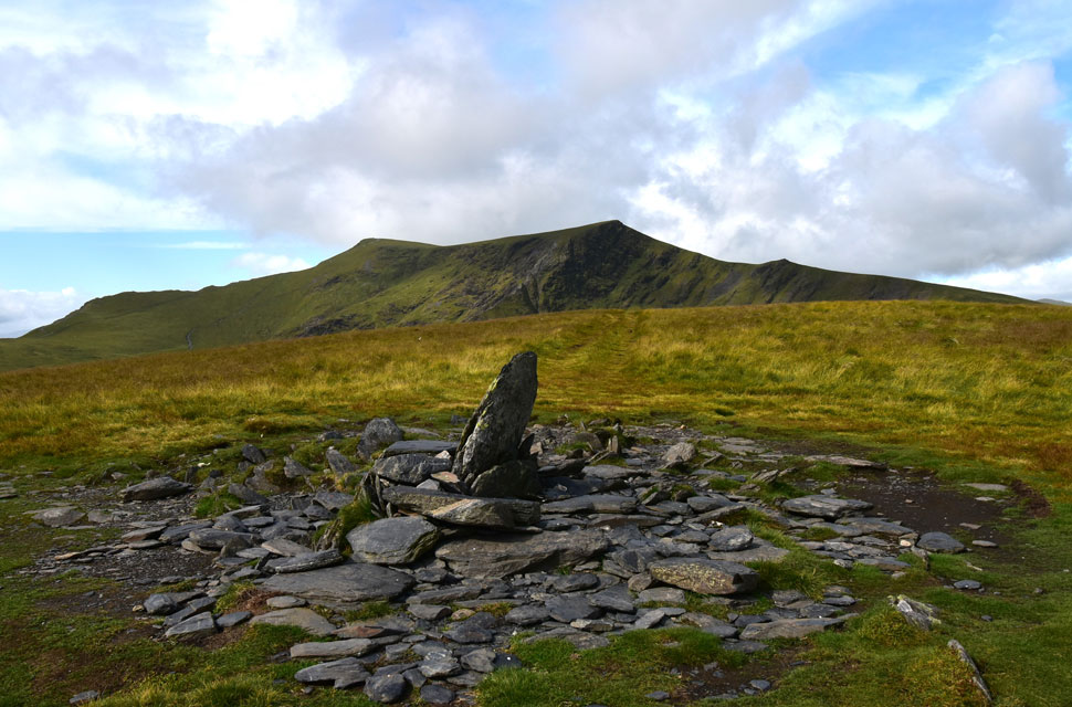 |
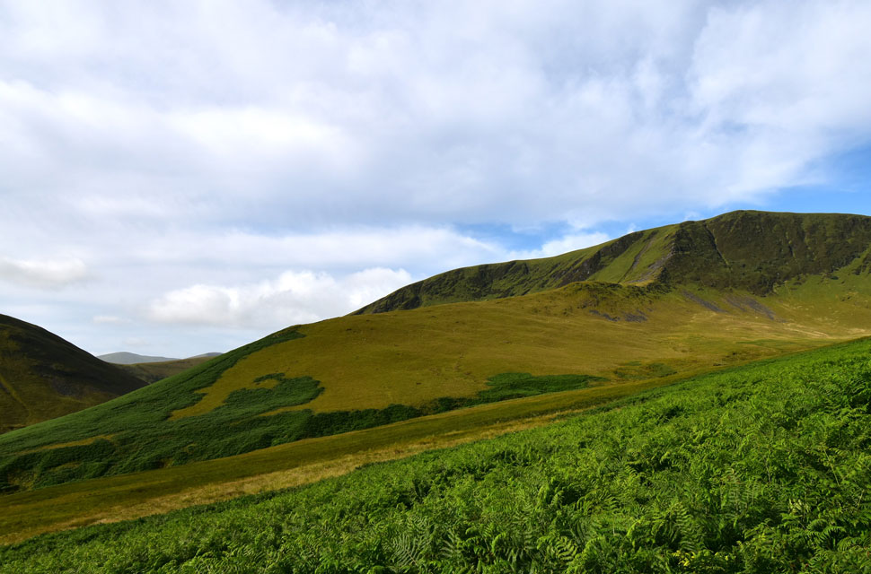
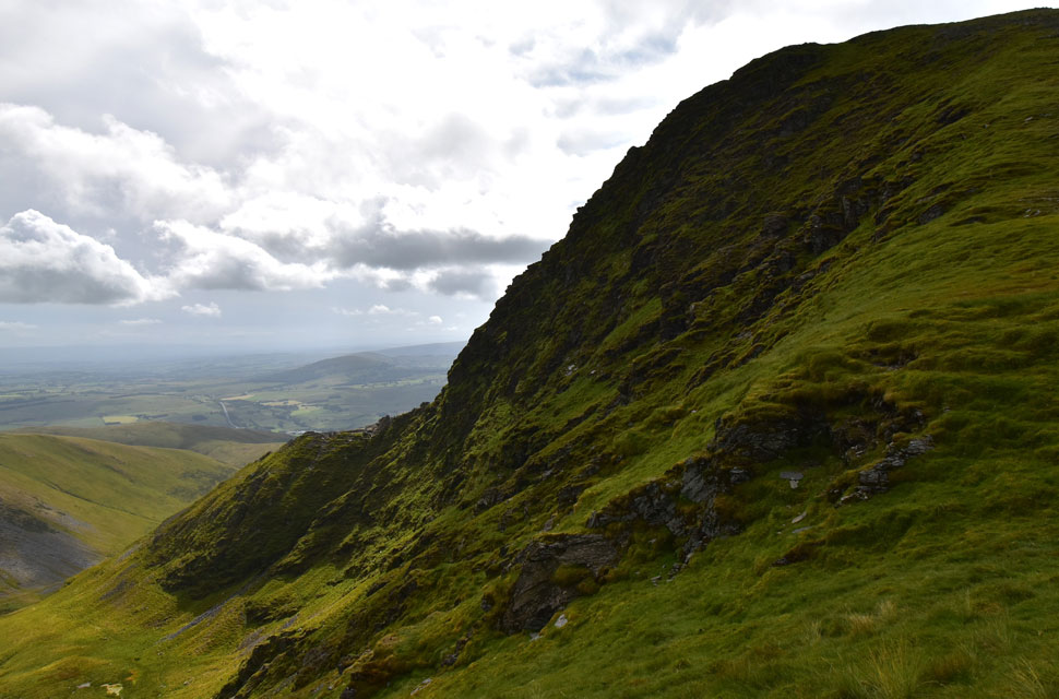
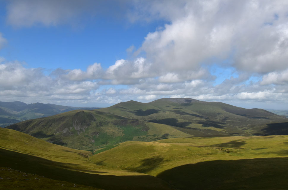
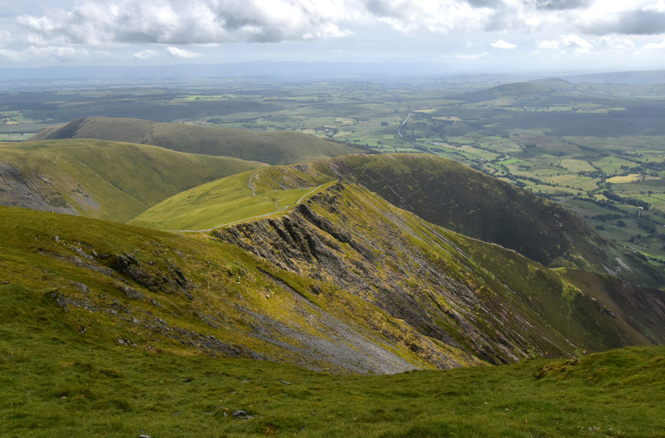
| Blencathra from the subsidiary summit cairn at the top of Bannerdale Crags East Ridge. |
| Often mistaken for the summit cairn which can be found by following the path west to the highest point of the fell. |
 |
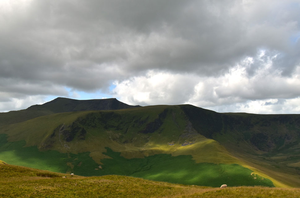
| Blencathra and Sharp Edge from Bannerdale Crags summit. |
| A short walk later and I'd arrived at the main summit cairn. |
 |
| Descending Bannerdale Crags. |
| Time to head down to Glenderamackin Col from where I will begin my ascent on Blencathra. |
 |
| Bannerdale Crags above Glenderamackin Col. |
| Whilst descending Bannerdale Crags, I noticed a figure heading from Mungrisdale Common towards Glenderamackin Col who turned out to own the car back at the parking spaces back in Mungrisdale. I also spotted the couple who had walked over The Tongue, who by now had dropped below the col and were heading along the path towards Brunt Knott below Sharp Edge and I wondered if Sharp Edge was their destination. I guess I would never find out their route, but it was an interesting one nonetheless. |
 |
| Ascent on Blencathra via Blue Screes/Atkinson Pike. |
| Aside my ascent on Bowscale Fell this ascent was the next, and last big ascent of the day which funnily enough, I've always enjoyed. |
 |
| Sharp Edge. |
| Was very busy this morning counting eleven walkers traversing the ridge at any one time most of whom had formed a queue to get over 'the awkward place' |
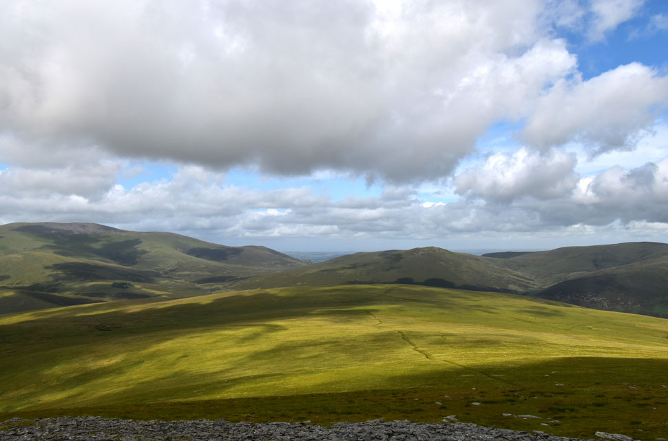 |
| Skiddaw, Bakestall, Great Calva and Knott seen beyond Mungrisdale Common. |
| Taken from the shelter below Blue Screes/Atkinson Pike. |
 |
| Looking back on Bowscale Fell, Carrock Fell, High Pike (Caldbeck) and Coomb Height. |
| |
 |
| Another shot of Mungrisdale Common. |
| With Bakestall, Great Calva. Knott, Great Sca Fell and Brae Fell. |
 |
| The view over Roughten Gill/Mungrisdale Common... |
| ...towards Lonscale Fell east ridge, Lonscale Fell, Jenkin Hill, Skiddaw Little Man, Skiddaw Sale How and Bakestall. |
 |
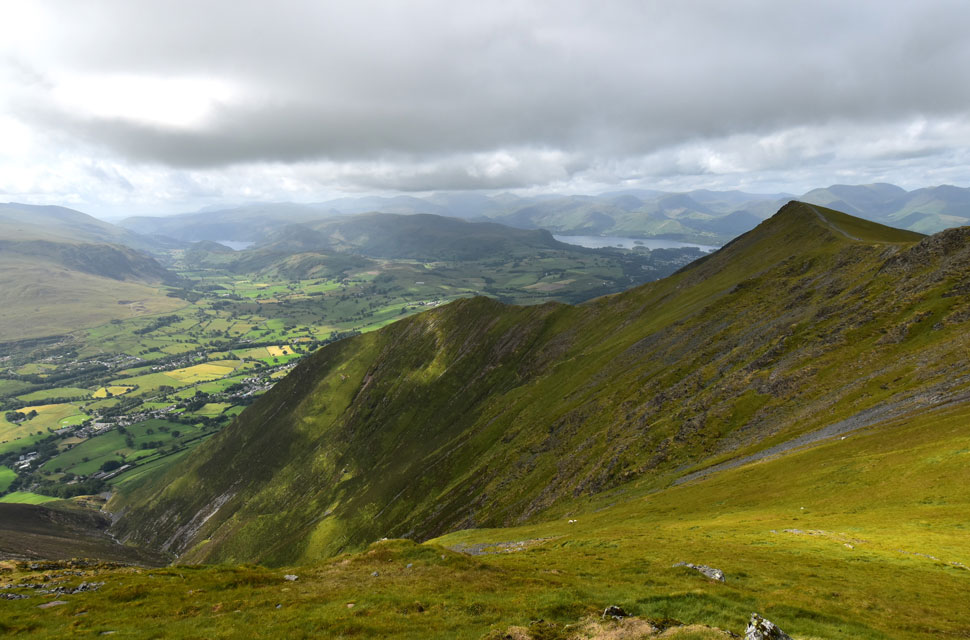
| Blencathra, Gategill Fell Top and Knowe Crags from the white stone cross, Blencathra's saddle. |
| I have always enjoyed the ascent of Atkinson Pike via Blue Screes and today was no different. I arrived at Blencathra's saddle, where I was met with a cool summit breeze. Despite a dozen walkers having summited Foule Crag via Sharp Edge, the summit area looks quiet for now at least. |
 |
| Middle Tongue, Gategill Fell and and Gatefell Top from Blencathra summit. |
| Other than a trio of friends sitting overlooking Doddick Gill I arrived to find I had the summit to myself, and I was shocked to see that the circular trig was missing a section. Whether this was due to vandalism or had naturally occurred is unknown. Sad to see, though. |
 |
| Doddick Gill, Doddick Fell Top and Scale Fell from Blencathra summit. |
| While most around me were wearing hoodies or adding layers, I was still wearing my t-shirt, and by now the hairs on my arms were beginning to stand on end which was my cue to leave the summit and begin my descent via Doddick Fell Top and Scales Fell. |
 |
| Chasing the sunshine! |
| As I descend via the zigzags with Doddick Fell Top seen foreground and Scale Fell beyond. |
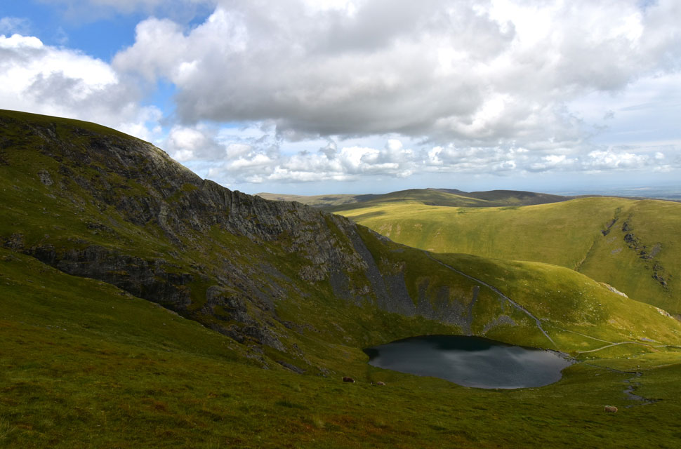 |
| Sharp Edge and Scales Tarn. |
| I seem to have lost the sunshine for now but it doesn't seem to be putting off the Sharp Edgers! |
 |
| Blencathra's Saddle. |
| With Sharp Edge leading off to the right. |
 |
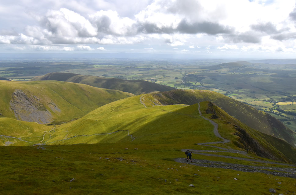
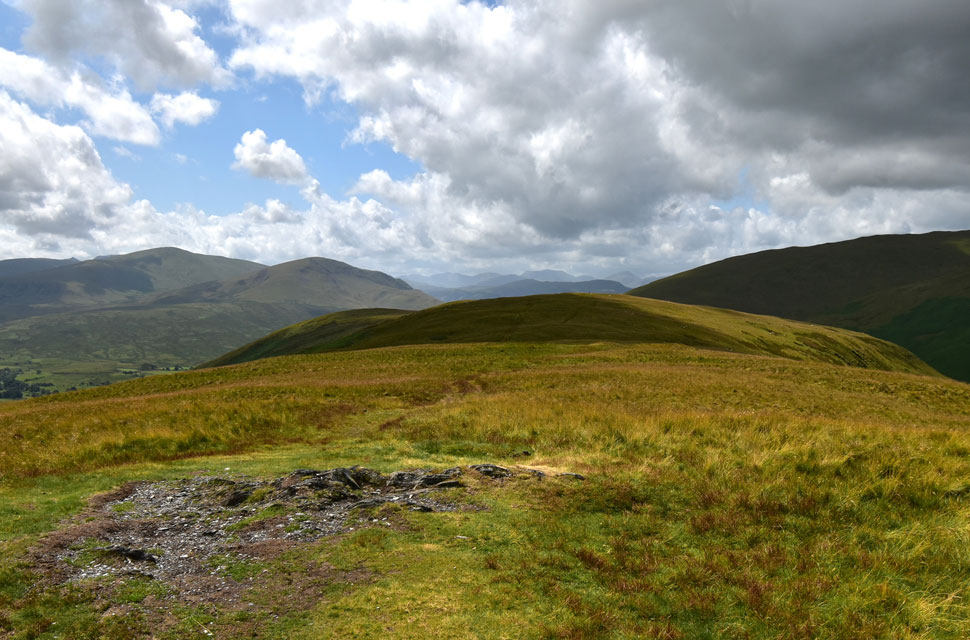
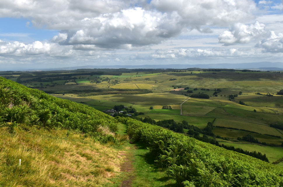
| Souther Fell seen beyond the top of Mousthwaite Comb. |
| Having passed a large walking group and then a chap with his young daughter, I peered over to White Horse Bent on my left and spotted the woman from Blackrod descending a couple of hundred feet above the River Glendermackin. She was right; she was a slow walker, but walking the fells isn't a race, and well done for sticking to the path, which can be easily lost in the height of Summer. |
 |
| Looking back across the top of Mousthwaite Comb... |
| ...towards Scale Fell, Blencathra, Sharp Edge and White Horse Bent. |
 |
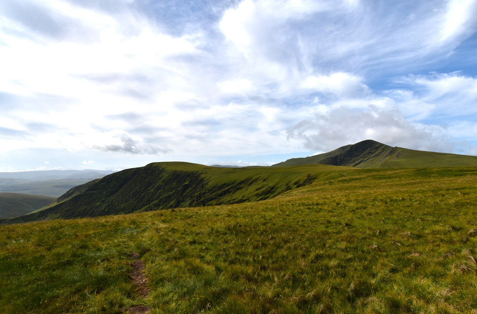
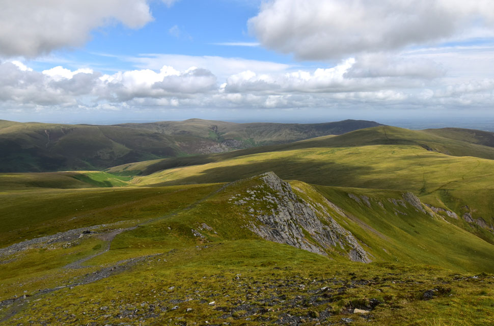
| Blencathra, Bannerdale Crag East Ridge and Bannerdale Crags. |
After crossing Mousthwaite Comb I dug my poles in and enjoyed the ascent of Souther Fell right up until I passed a family who were sat on the summit shoulder who, as I approached, had decided to leave.
I pass with a hi and get more in return, only to turn around to take a photo finding who I presume to be the middle aged daughter squatting to take a pee in front of her parents and other family members. Just as I did, please don't dwell on that thought and pretend you never read it, just like I pretended I never saw it. |
 |
| Great Dodd and Clough Head from Souther Fell summit. |
| The sun was back out now, and after allowing two fell runners to pass, I turned around and took in this green and pleasant view of Souther Fell. My descent from the summit would be via a path along the long eastern flank of the fell, which would mean I would have to return to the hollow (shaded area) from where I would pick the path up, remembering how boggy it was. Instead, I made a direct descent from the summit cairn from where I'd 'drop on' the path. |
 |
| Lunch with a view. |
| Here looking out towards the Mell Fells with my descent path appearing in the foreground from left to right. I was soon joined by a fell runner who must have seen me descend directly from the summit and had decided to do the same. When I looked up, she was checking her map, presumingly looking for the path, which, like me, she soon located. She passed with a hi before continuing her descent. |
 |
| Descending back to Low Birkside/Mungrisdale. |
I wasn't that hungry and had only eaten half of my lunch box before placing it back in my pack along with my foam mat that I'd been sitting on. Pack-shouldered, I joined the pleasant path that offered wide open views as shadows tussled with sunlight across the countryside. Hot now but thankfully dry underfoot, I would often turn around to look beyond a sea of bracken towards Clough Head which shimmered in a slight haze. Strong light continued feeling the burn on the back of my neck as I reached the road below, where I held the gate for a fell runner and cyclist from the opposite direction.
The fell runner was the same woman I'd seen crossing Scale Fell an hour earlier who, incredibly, was heading back up Souther Fell using the same route I'd descended. Kicking my feet into the backs of my boots, I walked the old tarmac lane as far as the signpost, which directed me through Low Birkside and over the River Glenderamackin for the last time. My car was in sight now, and I took my time closing the gate on the opposite side of the footbridge knowing the walk was coming to end. With Low Birkside behind me, I walked towards my car and arrived back at the same time as the walker I'd seen heading towards Glenderamackin Col from Mungrisdale Common.
The fell runner who used the same descent from Souther was there kiting down behind her car, I noted her private registration 'RUN' which I couldn't help but be impressed by. The cyclist I'd opened the gate for was sitting on a bench not far from my car eating lunch while watching the Glenderamackin go by. As I took out my sandwich box, I noticed I'd trapped a couple of blades of grass in the lid as I had closed it, it wasnt just a couple blades of grass but a heartfelt blast back to my 'lunch with a view' half an hour earlier. |
|
| |
| Back to top |
 |
|