|
A Circuit of Haweswater |
 |
 |
22nd July 2023 |
 |
|
While central Europe is experiencing record-breaking heatwaves, it's starting to feel more like Autumn here in Lakeland with week after week of unsettled weather, and by unsettled, I mean rain and thundery showers with just the odd few hours of sunshine thrown in for those brave enough to hit the fells. According to the forecasters, apparently we have more unsettled weather to come, which could possibly extend into August, with the promise of brighter weather to return by mid-August. That's almost six weeks of rain and cloud, it's difficult to keep optimistic, isn't it?
The unsettled weather extended into the weekend, with Saturday looking like a washout with rain moving across the park from the south-west. On paper you wouldn't leave the house, but reading between the lines of the forecast, the heaviest rain was due around lunchtime, and if we were lucky, we'd only have light showers to deal with. We could have sat at home watching the rain run down the windows or get out and enjoy a circuit of Haweswater. |
|
| Wainwright Guide Book Two |
 |
| The Far Eastern Fells |
| |
 |
|
|
|
| |
|
Overview |
|
|
| Ascent: |
1,570 Feet - 478 Metres |
| Wainwrights: |
N/A |
| Weather: |
A Mix Of Drizzle & Light Rain Throughout. Highs of 16°C Lows of 13°C Feeling Mild |
| Parking: |
Parking Spaces, Burnbanks |
| Area: |
Far Eastern |
| Miles: |
10.3 |
| Walking With: |
David Hall, Rod Hepplewhite & Calva |
| Ordnance Survey: |
OL5 |
| Time Taken: |
4 Hours 40 Minutes |
| Route: |
Burnbanks - Haweswater Shore Path - Bowderthwaite Bridge - The Rigg - Mardale Head - Mardale Road - Haweswater Hotel - Naddle Bridge - Burnbanks |
|
| |
|
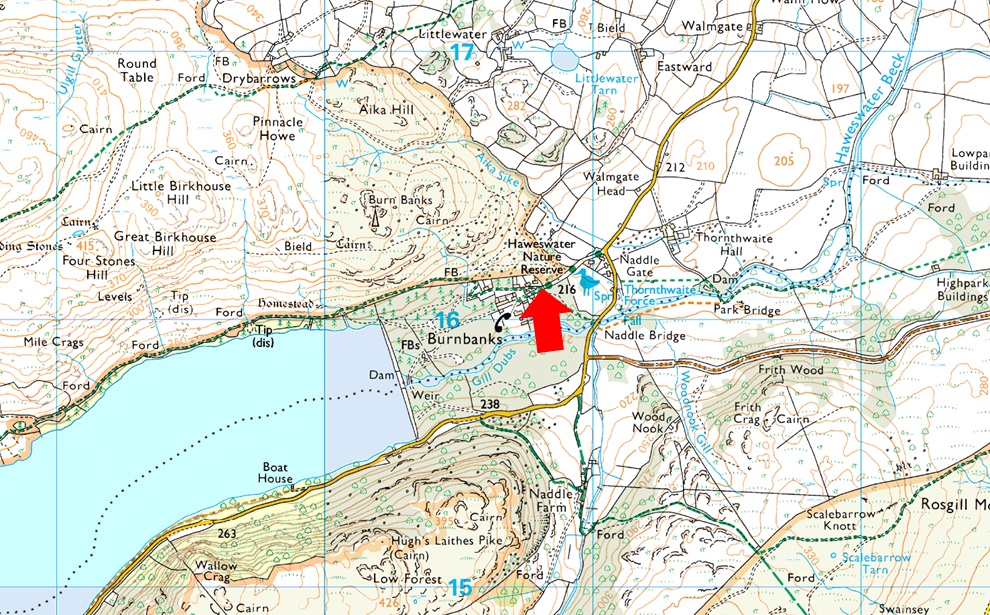
Parking Details and Map |
|
|
| Nearest Post Code: |
CA10 2RL |
| Grid Reference: |
NY 507 716 |
| Notes: |
Burnbanks is found at the far eastern edge of Haweswater where there is a car park at the entrance to the village on the left (opposite the red phone box) with room for up to eight cars. Popular routes from the car park include Four Stones Hill, Wether Hill or even a walk around Hawsewater Reservoir. |
|
| |
|
Map and Photo Gallery |
|
|
 |
| |
| |
 |
| Burnbanks 7:30am 13°C |
By midweek, we knew we were in for another wet weekend, but that didn't stop David from sending Rod and me an email asking if we fancied a walk around Haweswater, a walk that I've been meaning to do for ages but never gotten around to. Today's forecast was perfect for it. We had chosen to start the walk from the hamlet of Burnbanks and to walk the route in an anti-clockwise direction, which would allow us to cover the rougher section of the route before the heavier rain was due.
Taking into account the forecast, we had also arranged to meet at the earlier time of 7:30am which meant a 4:30am alarm call for me. Groggy, I left home around 5:20am and arrived at a drizzly Burnbanks around 7:15am where I found David waiting with Calva. I parked at the side of David, and we sent our windows down to save chatting in the rain. The drizzle eased, and we began kitting up just as Rod arrived. Three of us opted for waterproof over trousers while Rod and myself added rain covers to our packs. Just before leaving, we were passed by a friendly dog walker, who unbeknown to us, would be the only person we would see between Burnbanks and Mardale Head. |
 |
| Haweswater Reservoir comes into view after leaving Burnbanks. |
| We left a deserted Burbanks and after passing through the Deer fence we walked alongside the woodland behind the dam wall. So soon into the walk, you get to realise how everything soaks you, whether it be passing under low-hanging branches or, as we were about to find out later, wading through wet chest-high bracken. |
 |
| Battling through the bracken. |
Not all of the shorepath keeps to the shoreline; in fact, we were a good deal above it for the best part, and as you can see during the Summer months, the bracken can get high, as demonstrated here by David and Rod.
With the bracken as high as it was, the path below can sometimes be obscured, which caused Rod to slip and fall as the path narrowed and gave way under his feet. Rod was quickly back on his feet, with no harm done other than an extra soaking from the bracken. This wouldn't be the last time one of us would fall due to the bracken. |
 |
| Looking back on covered ground. |
| The rain never stopped, whether falling as drizzle or light rain, and when you add the soaking bracken it's fair to say we couldn't have been any wetter if we'd have jumped in the Reservoir. |
 |
| The Rigg, Speaking Crag and Castle Crag come into view. |
| |
 |
| Castle Crag ahead. |
| Despite all the rain, the level of the Reservoir is still low, revealing the stone walls from the village of Mardale Green which once stood here before the village was flooded to make way for the Haweswater Reservoir. Originally, Haweswater was a natural lake about four kilometres long, almost divided in two by a tongue of land at Measand; the two reaches of the lake were known as High Water and Low Water. |
 |
| Looking back on Haweswater... |
| ...as we pass below Castle Crag. |
 |
| Branstree, The Rough Crag Ridge, The Rigg and Speaking Crag. |
| We were making great time and really enjoying the walk, that is, until a few moments after I took this photo, when passing through more thick vegetation, I unknowingly placed my right boot on a rock perched at a 45-degree angle, and down I went like a sniper had just shot me. Luckily, I landed in a ditch which absorbed my fall and I was able to get up and quickly brush myself down. |
 |
| A hint of sunshine. |
| As we made our way towards Bowderthwaite Bridge. |
 |
| The Rigg. |
| Through the gloom The Rigg and boundary walls from the lost village of Mardale Green. Now below the Reservoir to the left of The Rigg is the area where Holy Trinity Church once stood. |
 |
| The view into Riggindale. |
| What spells of sunshine we got was soon replaced by grey cloud and more rain as we crossed Bowderwaite Bridge into Riggindale where our views were limited as far as the Rough Crag ridge on one side and Kidsty Howes on the other. |
 |
| Calva posing for a photo. |
| Even in the rain Calva cracks us up with his poses! |
 |
| Misty views towards Swine Crag and Heron Crag. |
| The pile of stones in the foreground are the ruins of Riggside House, Riggindale. |
 |
| Approaching Mardale Head. |
| We passed through the standing stones and flanked The Rigg to descend into Mardale Head where we passed a solo woman and wondered about her route. The same was true for the couple and their two Labradors, who were instructed to heel to let Calva pass. They were the first people we'd seen since the dog walker back at Burnbanks, and by the looks of it, the car park at Mardale Head isn't too busy either. |
 |
| Car Park, Mardale Head. |
| We counted just three cars (one hiding behind the wall) and two vans which is unheard for a Saturday in the middle of July. |
 |
| Wood Howe Island, Haweswater. |
| Here looking out across Haweswater towards Wood Howe and what I believe to be the stone ruins of the Dun Bull Inn seen right foreground. |
 |
| Looking back on The Rigg and the Rough Crag Ridge. |
The rain got heavier as we passed through Mardale Head, reducing David's chances of removing his waterproof jacket on account of being too hot. David was right; it was mild, but it was also very wet, so we had to grin and bear it for now.
Once through the car park, we walked up the road, a section of the route that I'd been looking forward to due to the views over The Rigg. Today, however, our views were strictly limited, with clouds appearing to get even lower. |
 |
| The view across Haweswater... |
| ...towards a misty Castle Crag and Kidsty Howes. |
 |
| The Rigg and the Rough Crag Ridge. |
| We continued up the road until the bridge over Rowantreethwaite Beck was reached which thundered in spate below, it's hard to imagine with all this water about how the Reservoir is still so low. |
 |
| Mardale Road. |
| Unbelievably it's stopped raining and it looks like the sun is trying to break through. |
 |
| Passing Haweswater Hotel. |
| Marking the half way point as we make our way back to Burnbanks. |
 |
| Haweswater Dam. |
With Haweswater Hotel behind us, we stopped a little further on at the top of the access road to the Draw-off Tower. It was 12pm now, and a refuel seemed like a good idea, Calva certainly thought so. It was the quickest of lunchstops, as we ate on the move while David and Rod picked berries from the roadside. The miles seemed to pass quickly. The cairn below Four Stones Hill came into view, which meant that above the dense woodland to our right was Hugh's Laithes Pike. The source of water was never far away, whether it was flowing into the Reservoir below or spilling over the roadside. Water in every shape and form ruled the day. I had only stopped once to take in the view of Haweswater Dam some years ago, a view that is commonly obstructed by trees, but we managed to find a clearing that gave an uninterrupted view of the Dam wall, where we were shocked to see the high tide marks, which go to show how low the level actually is.
We left the captivating view, passing the woodland where navvies graves from the building of the dam were thought to occupy. Further up the road, we pass the Madale to Shap old road before crossing Naddle Bridge, where we cut left through the woodland flanked by Haweswater Beck. We followed the woodland trail before emerging at wooden gate, beyond which waited our cars at Burnbanks. Drizzle again as we kit down, one wet, and one completely dry sock for Rod, David finally got to remove his waterproof jacket, and thanks to my four week old Meindl Bhutan's, my socks had stayed dry the whole time. |
|
| |
| Back to top |
 |
|