 |
Gillercomb Round |
 |
 |
7th August 2023 |
 |
|
It hasn't been the best start to my week off with my mother-in-law in the hospital, and if that wasn't stressful enough during a hospital visit, my wife was rear-ended by a bus right outside the hospital. Paula suffered whiplash and shock, but my car was a write-off. Luckily, my employer was kind enough to loan me a car until my new one arrives.
Anyway, moving on. It looks like we might have seen the last of the dreaded rain that has taken the end of June and all of July out. Yes, it's been a miserable few weeks for us fell walkers, but I can't help but feel sorry for the families who have booked camping holidays only for the rain to ruin it all.
For my time off, I'd planned a few walks around the showers, which included this one, which I purposely started late to allow the morning showers to push through. The week ahead doesn't look too bad, although the forecast is changing hourly, meaning I'm constantly checking and rearranging my walks accordingly. I'm known to chase the sunshine, but with this walk, it didn't matter; it had been ages since I last walked through the hanging valley of Gillercomb, and no matter the forecast, I couldn't wait to return. |
|
| Wainwright Guide Book Seven |
 |
| The Western Fells |
| Grey Knotts geographically is the first stepping stone to Great Gable from the north (although not commonly used as such) the connection being a high ridge that runs the two intermediate summits of Brandreth and Green Gable. |
 |
|
|
|
| |
|
Overview |
|
|
| Ascent: |
2,562 Feet - 780 Metres |
| Wainwrights: |
4, Base Brown - Green Gable - Brandreth - Grey Knotts |
| Weather: |
Predominently Cloudy With Patches of Sunshine. Windy Where Exposed.. Highs of 19°C Lows of 16°C Feeling Cold Across The Summits. |
| Parking: |
Roadside Parking, Seathwaite, Borrowdale |
| Area: |
Western |
| Miles: |
5.5 |
| Walking With: |
On My Own |
| Ordnance Survey: |
OL4 |
| Time Taken: |
4 Hours 10 Minutes |
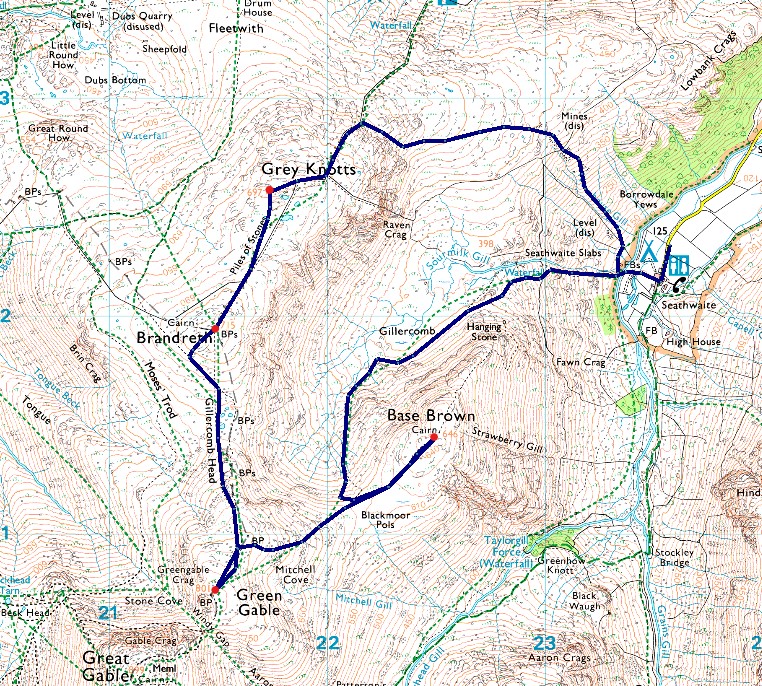
| Route: |
Seathwaite - Sourmilk Gill - Gillercomb - Base Brown - Green Gable - Gillercomb Head - Brandreth - Grey Knotts - Plumbago Mines - Newhouse Gill - Seathwaite |
|
| |
|
Parking Details and Map |
|
|
| Nearest Post Code: |
CA12 5XJ |
| Grid Reference: |
NY 235 712 |
| Notes: |
The roadside at Seathwaite is a really popular place to park if you plan to visit the central fells including Scafell Pike and Great Gable. Unfortunately, at busy times, this can cause access problems for people who live locally, including farmers and potentially emergency vehicles.
If you turn up and find that you can’t easily park at Seathwaite without being confident a fire engine or tractor and trailer could easily pass, please consider one of these three alternatives.
The National Trust, Cumbria Highways and the Lake District National Park authority are working together to find a long term solution for those of you who like to park at Seathwaite, but it will take time. |
|
| |
|
Map and Photo Gallery |
|
|
 |
| |
| |
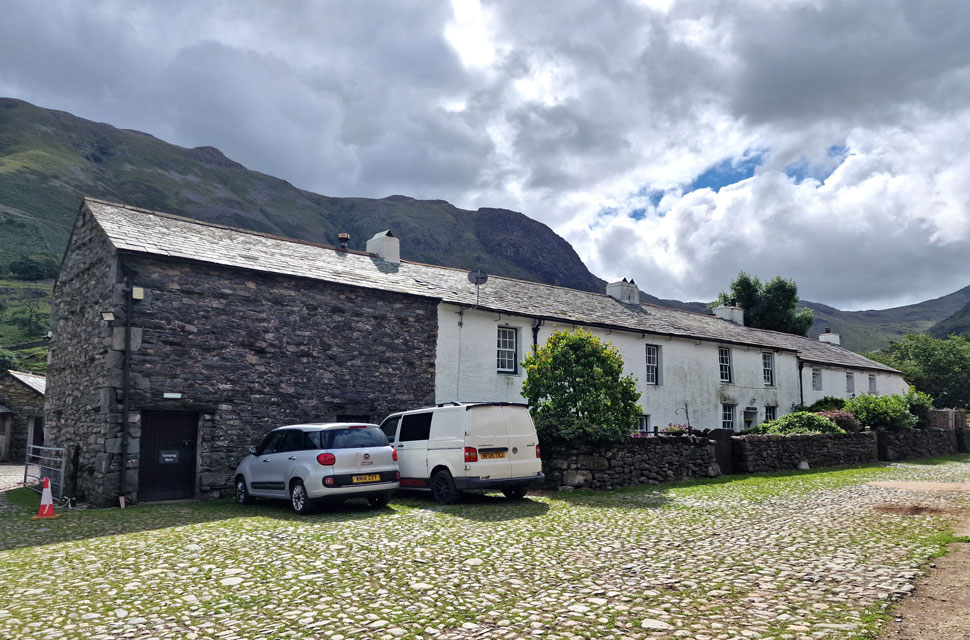 |
| Seathwaite Farm, Borrowdale 11.50am 16°C |
By the time I'd arrived, the showers were long gone, leaving a mix of scattered grey clouds with blue skies edging through. I had my reservations about being able to park at Seathwaite, one of the busiest areas of Lakeland for fell walkers, and given that it's also the school holidays, I'd come up with a plan B and even a plan C walk should I be unable to park. Panic over, I parked easily about 200 metres from the Seathwaite farm, and after kitting up, I soaked in my surroundings while being watched by cattle from a nearby field.
Ahead, two guys emerge from a Volvo who I'd followed through Borrowdale who I soon overtake after a friendly 'morning' Next, I pass a large family who asked which way to Scafell Pike and if the path was suitable for their young children, bearing in mind that these youngsters were dressed in everyday clothing while the adults were fully equipped. I replied, while looking at a young girl of maybe 7 or 8 wearing wellington boots that it's a tough route and that they should take the day as it comes. "Is the path ok though? We have no phone signal." It was as if they were asking my permission, so I replied, "Enjoy the day and use your common sense."
Through the farm yard, I turned right between two barns before taking the path towards the footbridge over Grains Gill, which flows into the River Derwent as it passes through the valley. |
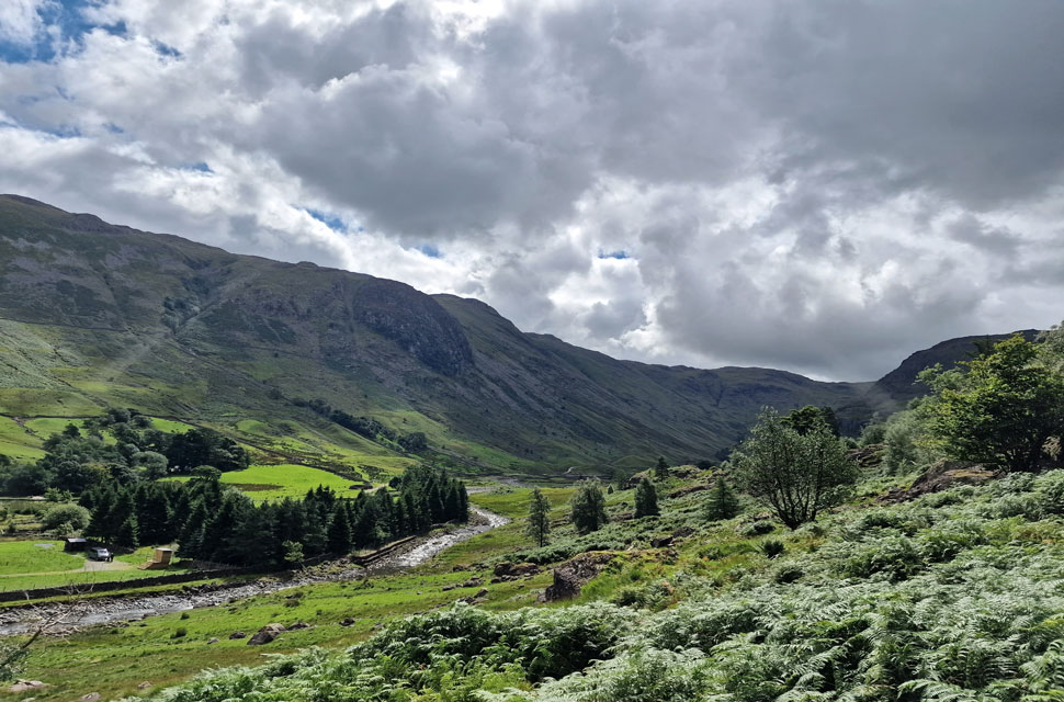 |
| Hind Crag and Seathwaite Fell from the start of my climb alongside Sourmilk Gill. |
| The sun was breaking through leaving the start of my walk incredibly warm but I kept with a thin layered jacket for now as cold winds were forecast at height. From the valley I could see a couple descending by Sourmilk Gill and beyond them, a family of five in ascent. |
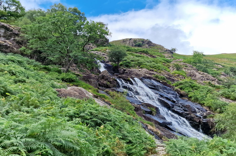 |
| Sourmilk Gill. |
| I was soon passed by the descending couple who I had to wait for as we crossed the wall by the wooden ladder. The footpath besides Sourmilk Gill is of great pitch and takes the mind off the steepness all the while my ears are filled by the sound of cascading water. |
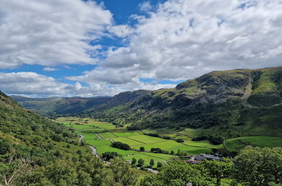 |
| Looking back on Seathwaite. |
| With Thornythwaite Fell and Bessy Boot seen to the right. |
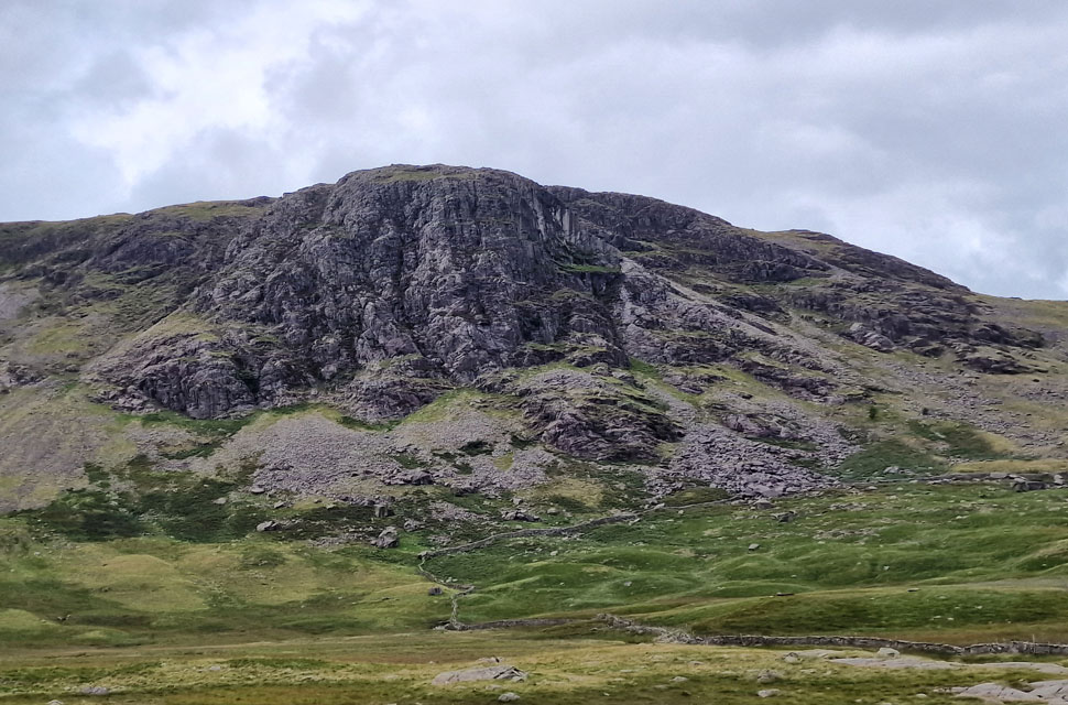 |
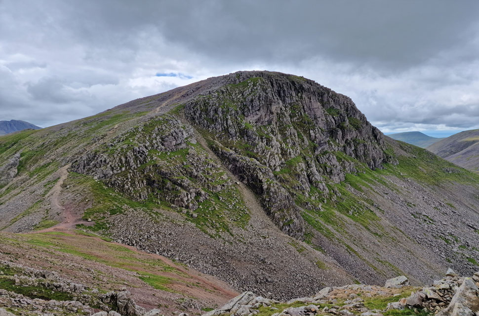
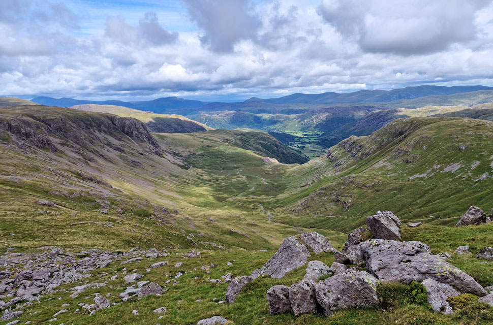
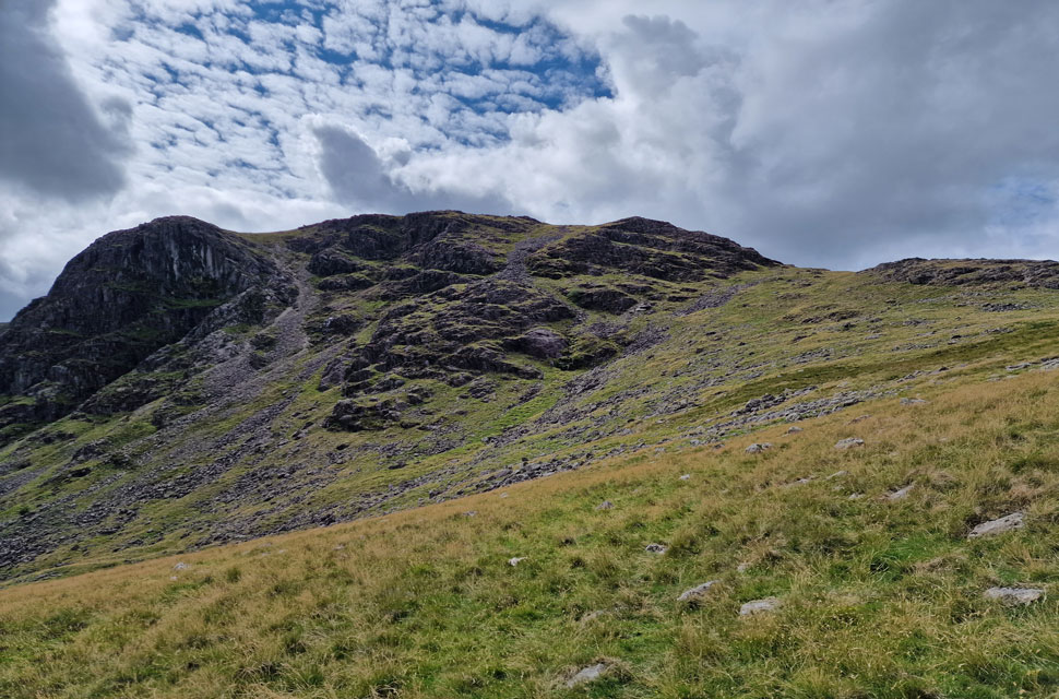
| Raven Crag, Gillercomb. |
With Sourmilk Gill now behind me, I arrived at the intake wall, where I passed the family of four and a solo chap, who I thought was with the family, but turns out he wasn't. While the family strode on, I got talking to the chap, and we shared our routes. "I'm heading for the base thingy, he joked, not sure where after that, perhaps Great Gable." After sharing my route, the chap said, "Oh, I like the sound of that; I might see you later!" I left the chap and quickly caught up with the family, and after a hello, I passed them too.
With the walkers behind me, it kind of felt like I had Gillercomb to myself, and I let off the gas as I took in my surroundings while being reminded that my rock climbing friend Heather Morgan would climb Raven Crag often. The sound of the family faded into the distance as I continued through the glacial valley until I came across another family nestled behind a large boulder eating lunch. Hello, I smiled, but got nothing back. |
 |
| Looking back on Raven Crag and Gillercomb. |
| It looks like it's starting to brighten up. |
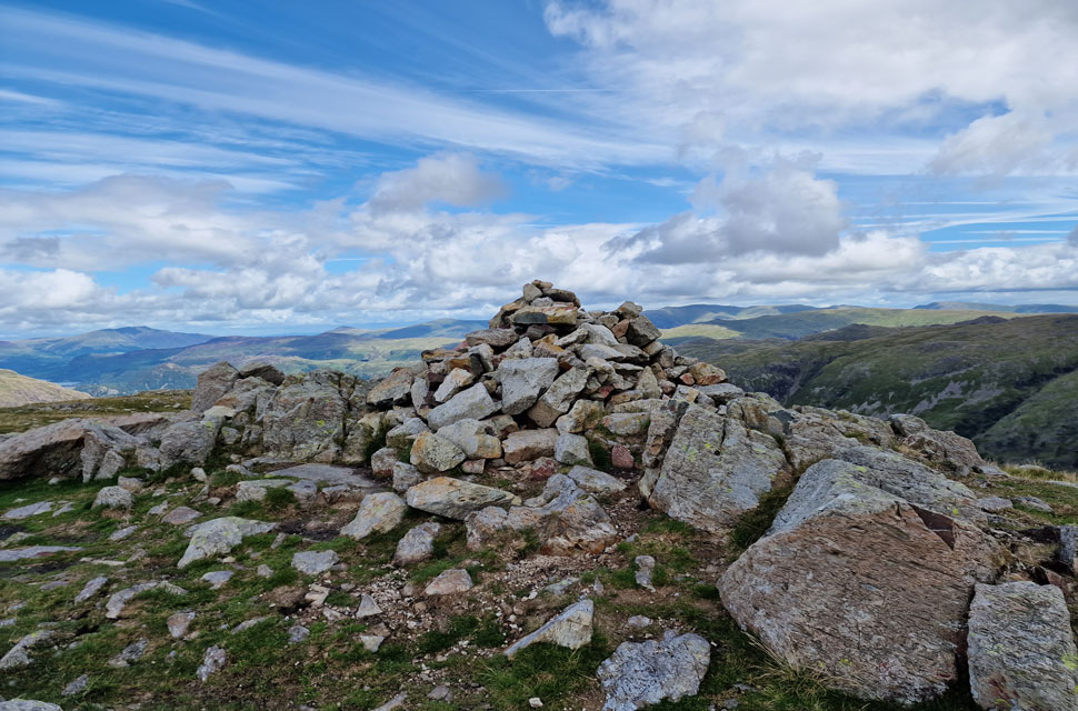 |
| Base Brown summit. |
| As the path curved into the valley headwall, I picked up my pace and began my ascent from the valley, walking poles fixed at my sides, striding strong. The path led me onto the grassy col, where I was treated to a blast of cold wind that got my nose snurching within minutes. Blimey, it feels like Autumn up here. It had clouded over with just the odd spell of sunshine which I watched as it drifted into Gillercomb before being replaced by shade. Overhead, things were looking dull, but at least the thick cloud wasn't affecting all of the district, with the Eastern fells enjoying long spells of sunshine beyond. |
 |
| Green Gable and Great Gable from Base Brown. |
| With Lingmell seen to the left. |
 |
| The view over Sty Head towards Great End, Broad Crag/Scafell Pike (in cloud) and Lingmell from Blackmoor Pols. |
| It was a boggy out and back to Base Brown which can only be expected given the amount of rain we have had, and by now my calfs were taking a drenching aided by the cold wind blowing across the grassy col. By now the family had arrived at the col and were making their ascent on Green Gable with good pace, I might add. |
 |
| Dapples of sunlight over Seathwaite Fell below. |
| With Glaramara and the Langdale Pikes seen beyond. |
 |
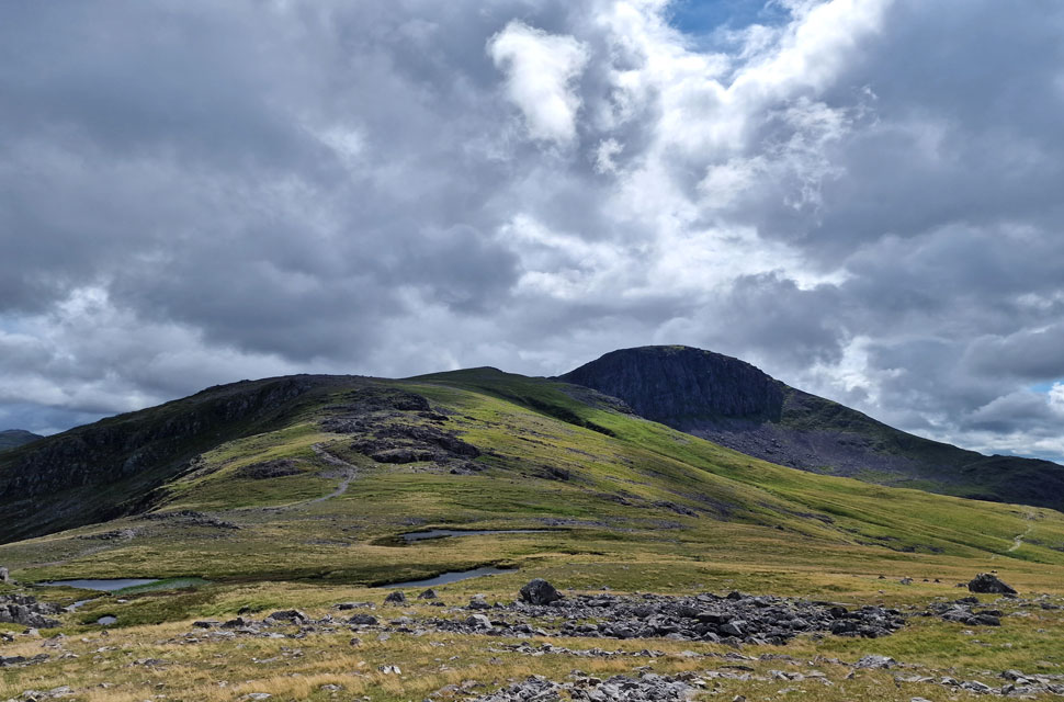
| Great Gable from Green Gable. |
| From the col, I began my ascent on Green Gable while trying to ignore the fact that the two people who had just passed me in descent were wearing hats and gloves. I didn't blame them one bit, as the tips of my fingers and ears would benefit from them too, but I was just too damn stubborn, despite a pair of gloves and a beanie being in the hood of my pack. It's bloody August, and I'll suffer! |
 |
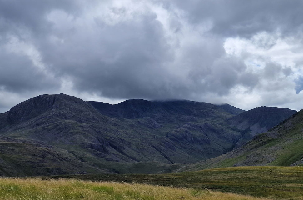
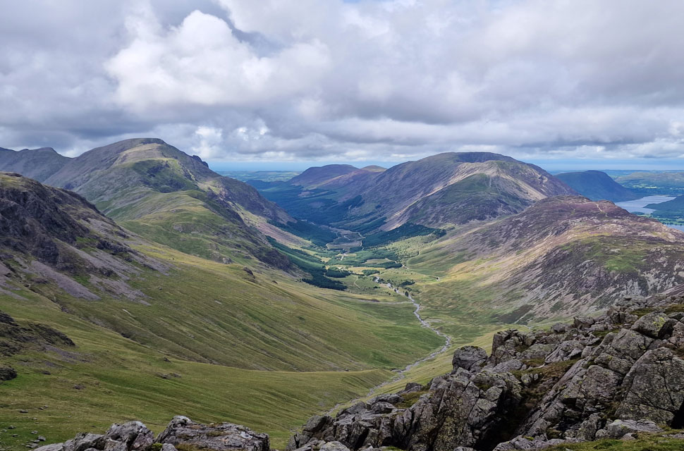
| Kirk Fell, Pillar, Scoat Fell and Red Pike (Wasdale) from Green Gable. |
| It was blowing a royal hooley, but the views over Stone Cove never fails to disappoint. It was whilst here that I remembered David telling me that there used to be a climbers hut within Gable Crags above Stone Cove. For the life of us, we have tried to look for its remains, and today was no different. From the summit shelter, a couple emerged and waved as they began their descent towards Base Brown. The family who were ahead of me were tucking into lunch at the shelter on the downward slope, so for now I enjoy the views whilst blowing warm air into my cupped fist. |
 |
| The Ennerdale Valley from Green Gable. |
| With views extending from Hay Stacks across the High Stile ridge all the way to Great Borne in the distance. |
 |
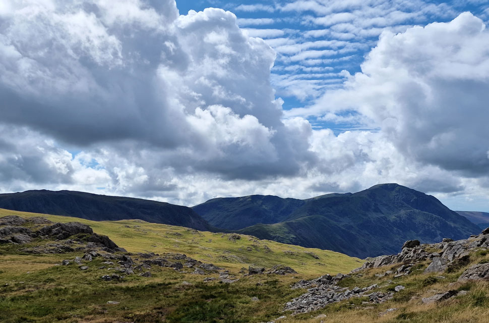
| The view over Gillercomb Head towards Brandreth and Grey Knotts. |
| With High Spy, Dale Head, Hindscarth, Robinson and the Grasmoor group seen beyond. |
 |
| Gillercomb from Gillercomb Head. |
| With Green Gable now behind me, I crossed over Gillercomb Head, stopping to take in the views of the valley below. It was while I was here that I passed by a father and his two young boys who asked me, "How was the wind at the summit?" I smiled and said, "What the wind lacks in strength, it makes up for in chill." The chap laughed and thanked me; he was obviously aware of how cold it was too. |
 |
| Looking back across Gillercomb Head/Tarns towards Green Gable and Great Gable. |
| It would seem the sunshine is trying its best to push through, and with the drop in height, it's nowhere near as chilly now. |
 |
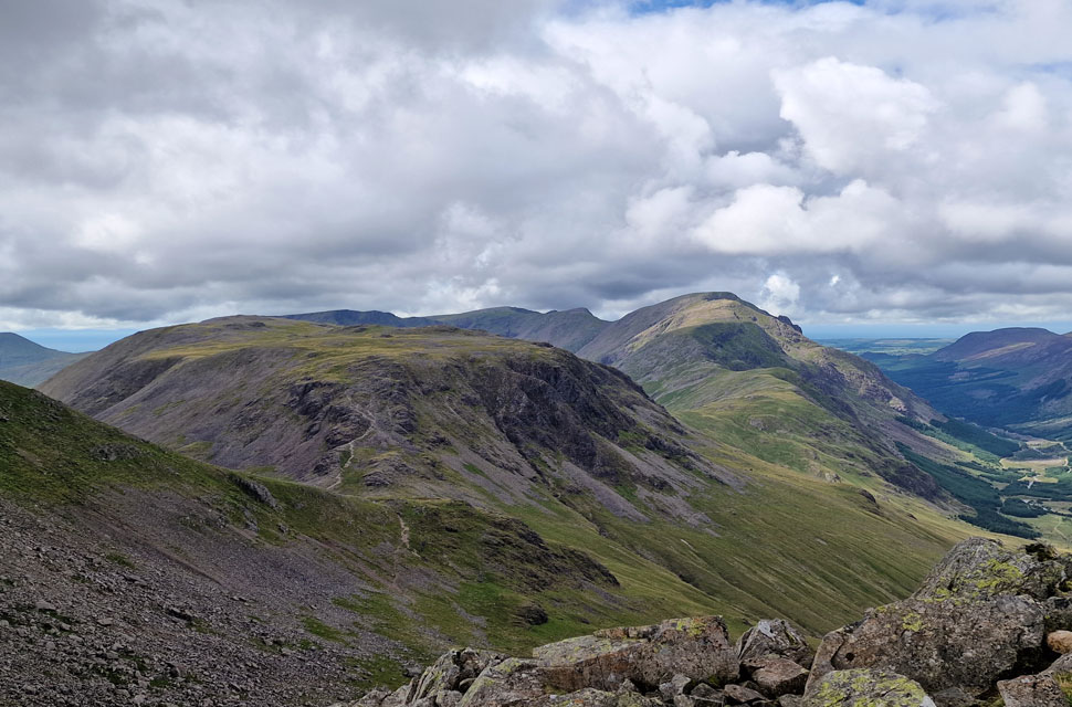
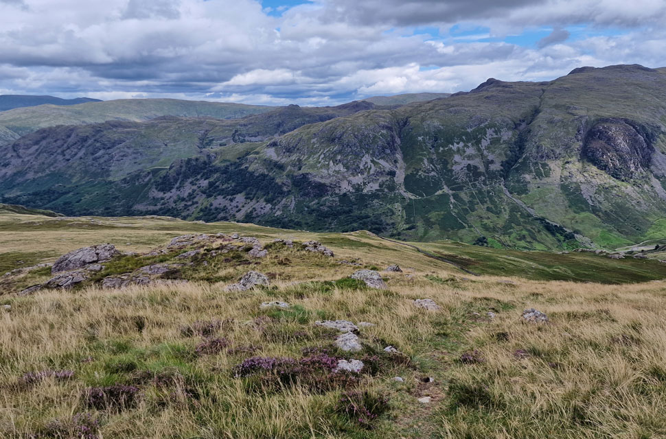
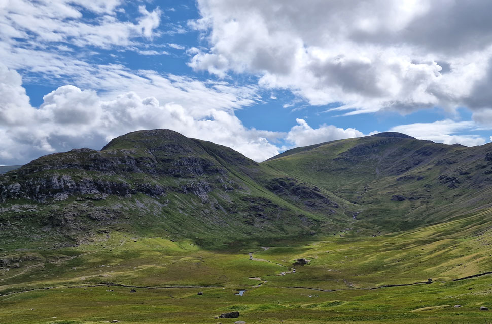
| Green Gable and Great Gable from Brandreth. |
| I made a wide ascent on Brandreth to avoid the notorious boulders on its south flank in complete sunshine before it clouded over again. The views were extensive over both the Ennnerdale and Buttermere valleys, where I was reminded of the day I walked the full Ennerdale Horseshoe; it's a walk I'd love to repeat on a clearer, less windy day than the day I completed it on. |
 |
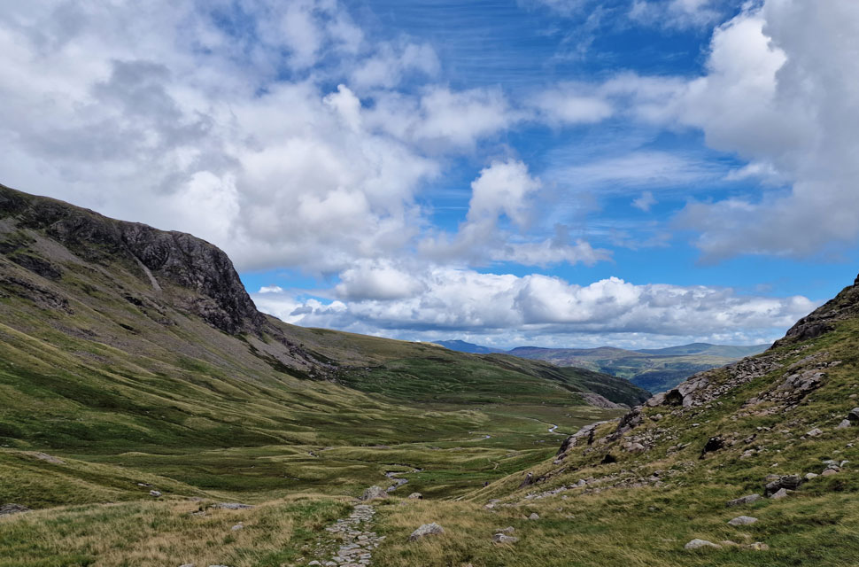
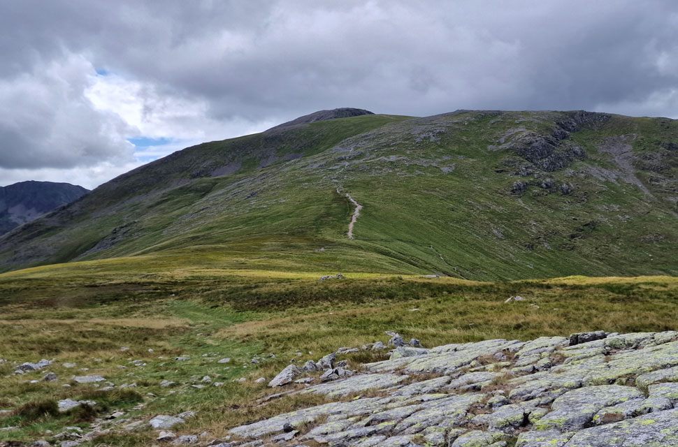
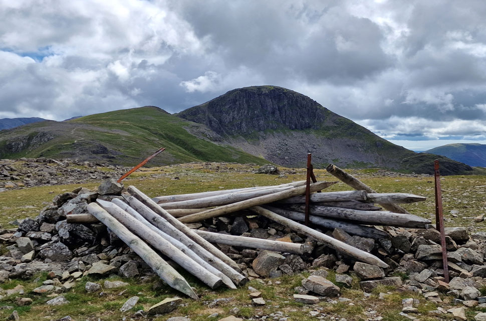
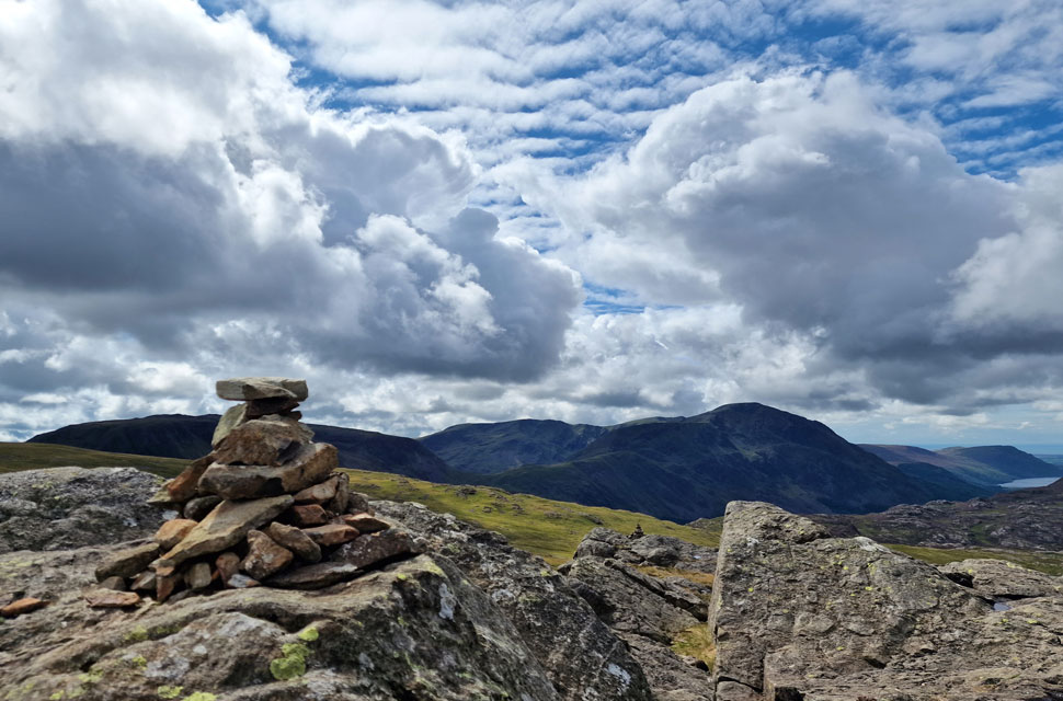
| Heading towards Grey Knotts. |
| I left Brandreth behind and walked into more sunshine as the skies lightened and it began to clear over head, rolling my eyes and sneering as I approached my final summit. The ground was surprisingly dry, choosing to avoid the tarns (out of shot and over to the right) in favour of the path seen left of the outcrop. |
 |
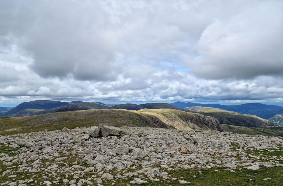
| Kirk Fell, Pillar, Scoat Fell and Red Pike (Wasdale) from Grey Knotts. |
| |
 |
| Kirk Fell, Pillar, Scoat Fell and Red Pike (Wasdale) from Grey Knotts summit. |
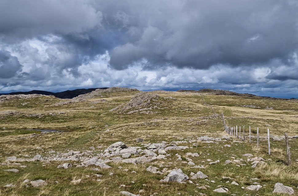
| I was exposed to the wind again as I reached Grey Knotts, but in the sunshine it was rather pleasant. I hung around for a few minutes double-checking the point I needed to leave the fence line before my traverse over Seatoller Fell, ready for my descent back into Seathwaite via Plumbago Mines. |
 |
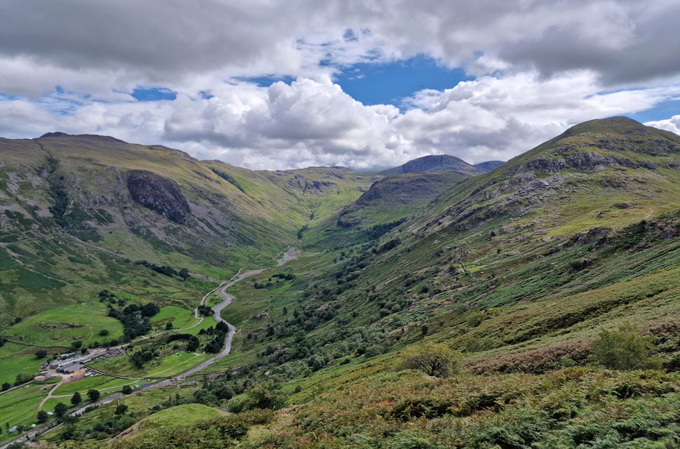
| Descending Seatoller Fell with views over Seathwaite towards Thornythwaite Fell. |
| I began my descent by following the familier fence, which I left at NY 221 128 for reference; this was just after I had descended the stone slabs, although I could have descended further down and left at NY 222 130, both bearings being an option onto open fell. I soon found a faint grassy path that descended down the fell side, which was relatively pleasant underfoot, with views opening out to Raven Crag to my immediate right. |
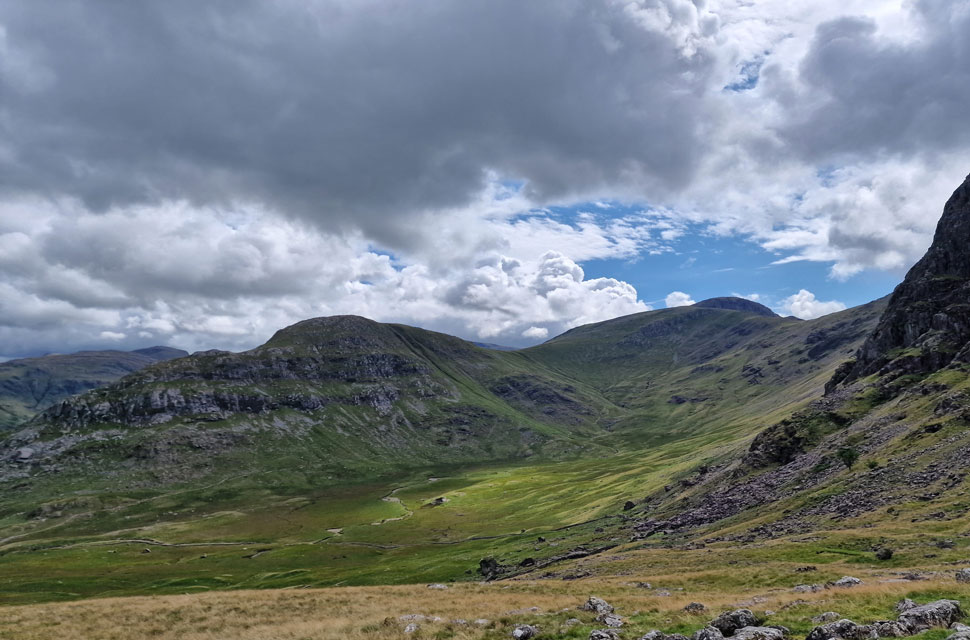 |
| Views into Gillercomb from my descent. |
| Raven Crag can be seen to the right with Base Brown to the left while beyond, Green Gable and Great Gable. |
 |
| My line of descent. |
| Can be seen from the low grassy col to the right with Raven Crag to the left. |
 |
| Gillercomb. |
| Whoo hoo the sun is out! |
 |
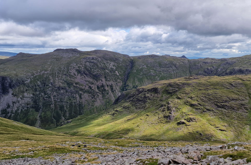
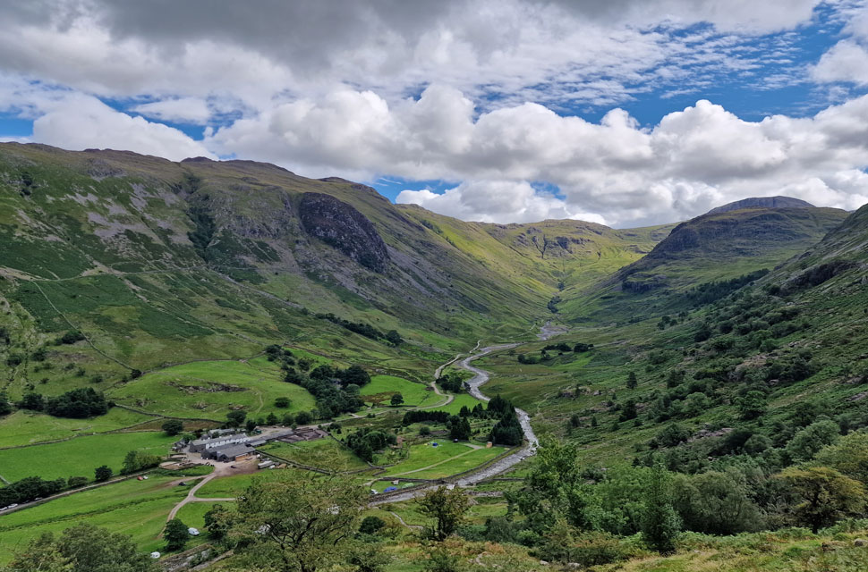
| Glaramara, Hind Crag, Seathwaite Fell, Allen Crags, Great End and Base Brown from Plumbago Mines. |
| I continued downhill and seemingly lost the path after passing through a cluster of boulders. To my right, I spotted the wall that ran from the base of Raven Crag and across the proximity of Sourmilk Gill and Newhouse Gill further to the left, which was the location of mines. Earlier, I had spotted a wooden sty below one of the spoil heaps and it was this sty that I was heading for. |
 |
| Lunch with a view. |
| I soon located the head of one of the spoil heaps and began my descent, sighting a grassy platform below from where I'd stop for lunch and take in the views. |
 |
| Seathwaite Valley. |
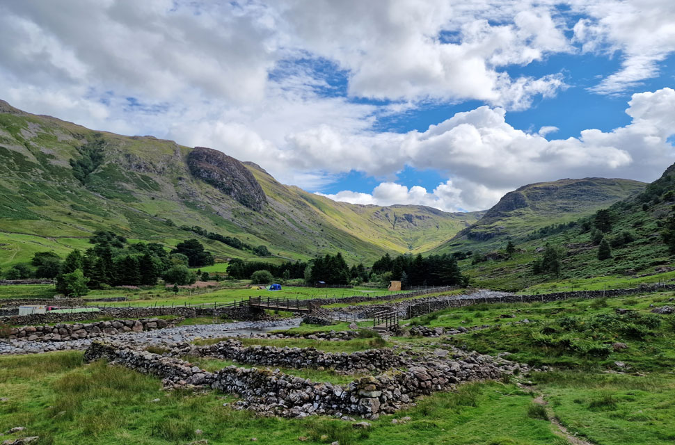
It was while eating lunch that I tried to trace my descent via the mine path, which I could only spot so far before it was lost to the bracken. With lunch over, I skirted around a second spoil heap and followed the path as far as it would go before succumbing to waist-high bracken. It was incredibly loose underfoot, with traces of spoil hidden beneath the bracken. I was sure I had lost the path, but gaps in the bracken told me perhaps not. The bracken gave way, then returned, by which time I'd lost count of how many times my boots had rolled over hidden rocks the size of my fist. I needed a game plan: keep calm and continue my descent. Yet more bracken gave way for a narrow path that passed between two grazing sheep, the same two sheep I had spotted from above earlier. Woodland now and more boot-tangling bracken before the path gave way for the valley bottom and this remarkable view of the Seathwaite valley from the sheepfold.
Feeling like I'd just done a couple of rounds with Mike Tyson, I adjusted my clothing and gear while looking back up the hill side. I had no idea which line I'd taken; it was simply lost among boulders and bracken. Note to self: return only in the winter. The sound of tent pegs being hammered into the ground broke the silence of the valley, accompanied by the sound of flowing water. I take another look back at my descent, squint my eyes, and pick out my line of descent starting from the grassy platform I'd stopped to eat my lunch at. Ah, now I see it. Two bridges later, I was back at Seathwaite Farm, which was surprisingly quiet apart from the farmer talking to two builders. Between the two barns, I disturbed the farmers dogs, who barked angrily from behind the barn doors. Just the odd cars now, with lots of places to park; this is the Seathwaite I like to see. Mooing cows and the sound of folk talking carry across a nearby field as the courtesy car comes into view, the sun now shimmering on its windscreen, the valley feeling hot and wild. |
|
| |
| Back to top |
 |
|

