|
Blease Fell & Hare Shaw from Tebay |
 |
 |
26th August 2023 |
 |
|
Going into the last summer bank holiday of the year, we didn't have the best forecast, and the frustration of not being able to do so many walks I had planned continues with no break from the unsettled weather in sight. David suggested a walk on the Howgill fells if only to escape the bank holiday crowds. Blease Fell lies within the Lune Gorge south of Tebay.
It's a fell that sparks interest for anyone travelling along the M6 between junctions 38 and 39 and is famous for the heart-shaped woods, which were said to have been planted by a local farmer in memory of his wife. In 'Walks on the Howgill Fells' Wainwright couples this walk with Hare Shaw to form a horseshoe of Tebay Gill, while today, given that time was no factor, David came up with a route that included Uldale Head, Rispa Pike, and Archer Hill, which allowed us to explore the Howgills deeper and even plan future walks.
It was such a pity we didn't get the weather, but what we missed in views, the Howgills made up for in solitude. |
|
| Wainwright Guide Book |
 |
| Walks on the Howgill Fells |
| The Howgills would be superb territory for pony-trekking, and they look (to a non skier!) ideal for winter expeditions, but their greatest appeal must ever to be those who love to walk freely 'over the tops' and commune with nature in solitude. |
 |
|
|
|
| |
|
Overview |
|
|
| Ascent: |
1,527 Feet - 465 Metres |
| Summits: |
Powson Knott - Blease Fell - Uldale Head - Rispa Pike - Archer Hill - Hare Shaw - Knott - Weather Hill |
| Weather: |
A Dull & Overcast Start With Summit Cloud, Cloud Clearin Some Sunny Spells PM Highs of 17°C Lows of 12°C |
| Parking: |
Roadside Parking, The Old School Tebay |
| Area: |
Yorkshire Dales National Park |
| Miles: |
9 |
| Walking With: |
David Hall, Rod Hepplewhite & Michael Cox |
| Ordnance Survey: |
OL19 |
| Time Taken: |
4 Hours 45 Minutes |
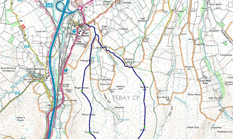
| Route: |
Tebay - Farm Track - Roger Howe - White Combs - Powson Knott - Blease Fell - Archer Moss - Rispa Pike - Archer Hill - Archer Moss - Hare Shaw - Knott - Weather Hill - Waskew Head - Tebay |
|
| |
|
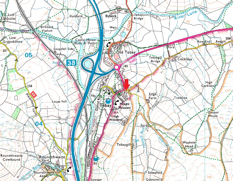
Parking Details and Map |
|
|
| Nearest Post Code: |
CA10 3TP |
| Grid Reference: |
NY 618 044 |
|
| |
|
Map and Photo Gallery |
|
|
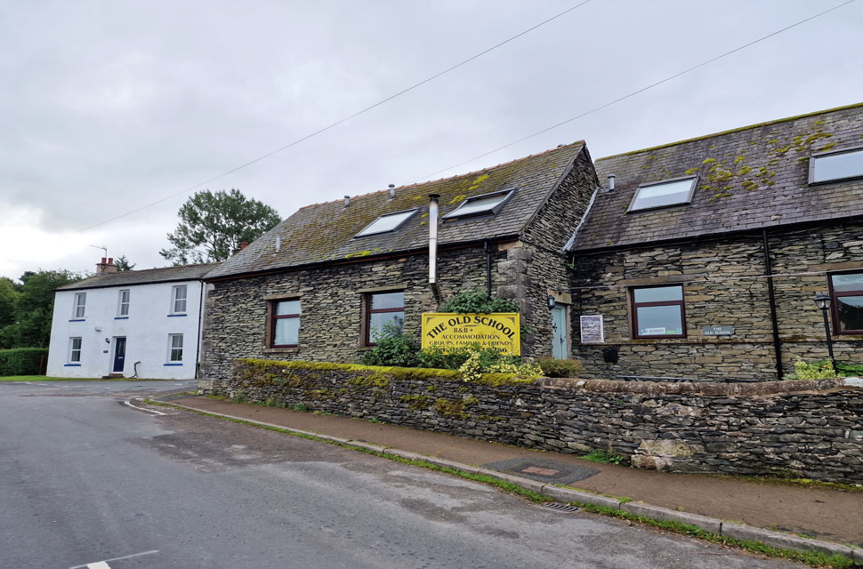 |
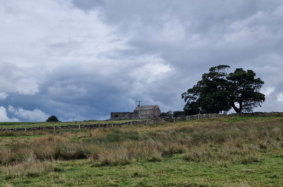
| The Old School, Tebay 8:00am 12°C |
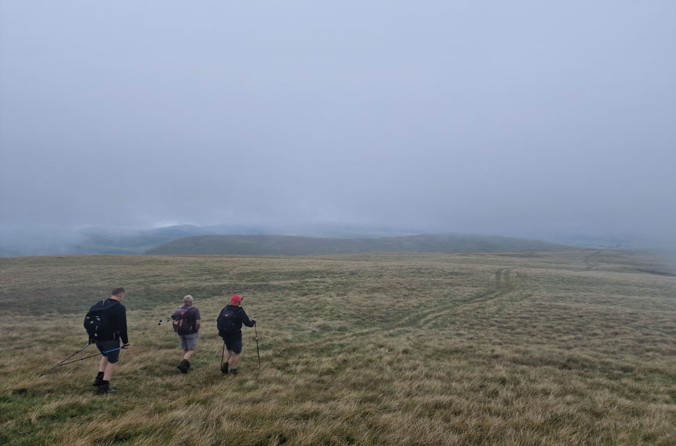
| We had arranged to meet at 8:15am and I arrived to find David parked up opposite the Old School, which now resides as a B&B. It had rained through the night, and if we were to go by what the forecast is saying, more rain is due around 13:00pm. The good news however, is that I noticed that Blease Fell was free from clouds, unlike The Calf, which I had seen from the motorway. Rod and Michael arrived next and, after sharing a morning, completed their kit up before joining David and me, who all agreed we turn right just after the Old School. I guess that's a start. |
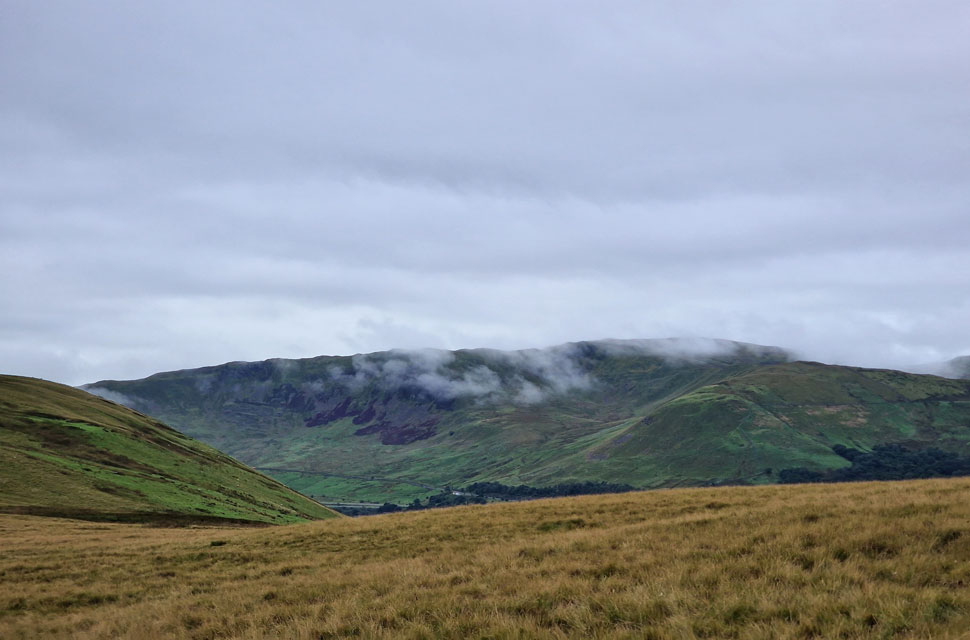 |
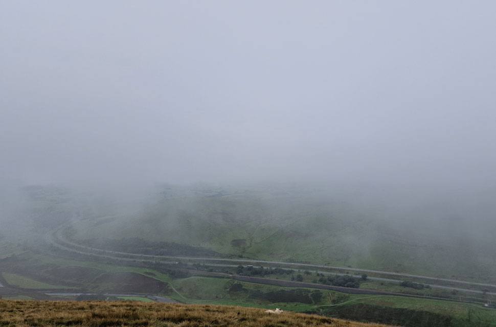
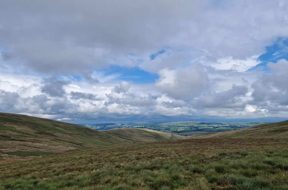
| Views over the M6 towards Birk Knott and Grayrigg Pike from White Combs. |
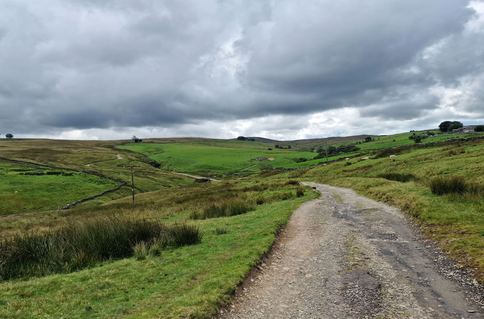
| We left Tebay and followed the lane towards Edge Farm, where the lane forked left towards the farm and right for Tebay Gill. We traced right before passing a second farm on our left from where we joined the fell side via a faint grassy trod, which we were able to trace back from Roger How to our current position. The ground underfoot was as expected damp, and despite the lingering cloud, it was quite mild for autumn - sorry, force of habit, I meant summer! |
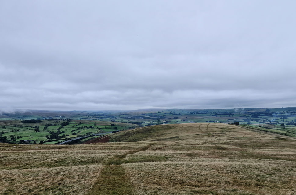 |
| Looking back on White Combs. |
| The path, now easy to follow began to steadily ascend towards Powson Knott. |
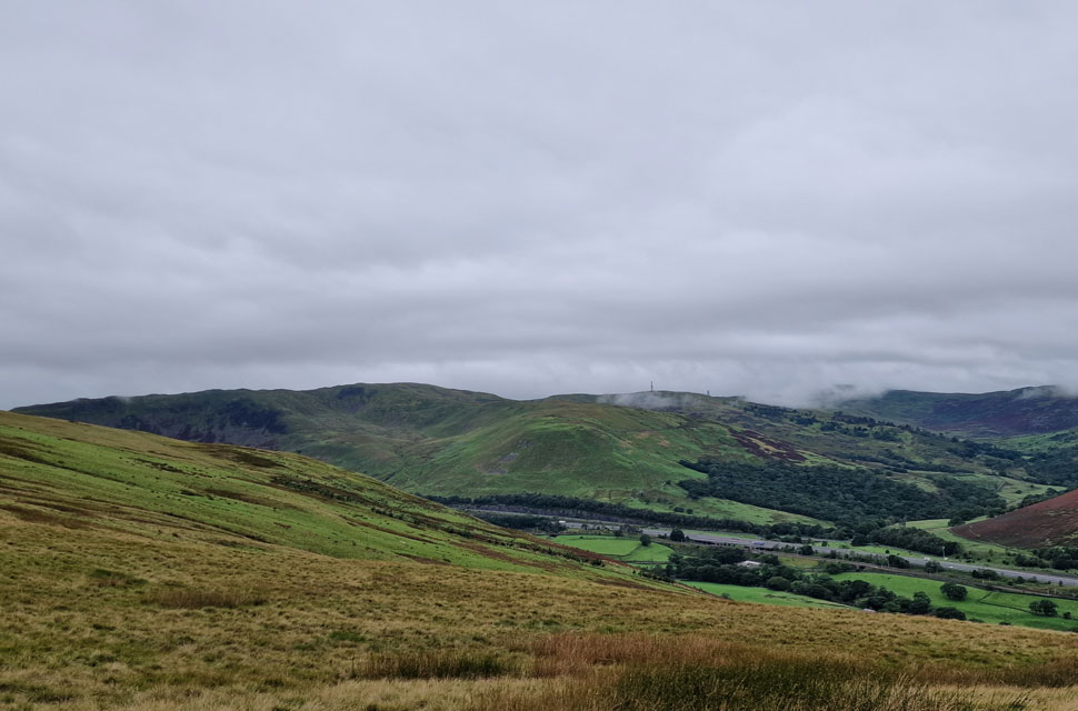 |
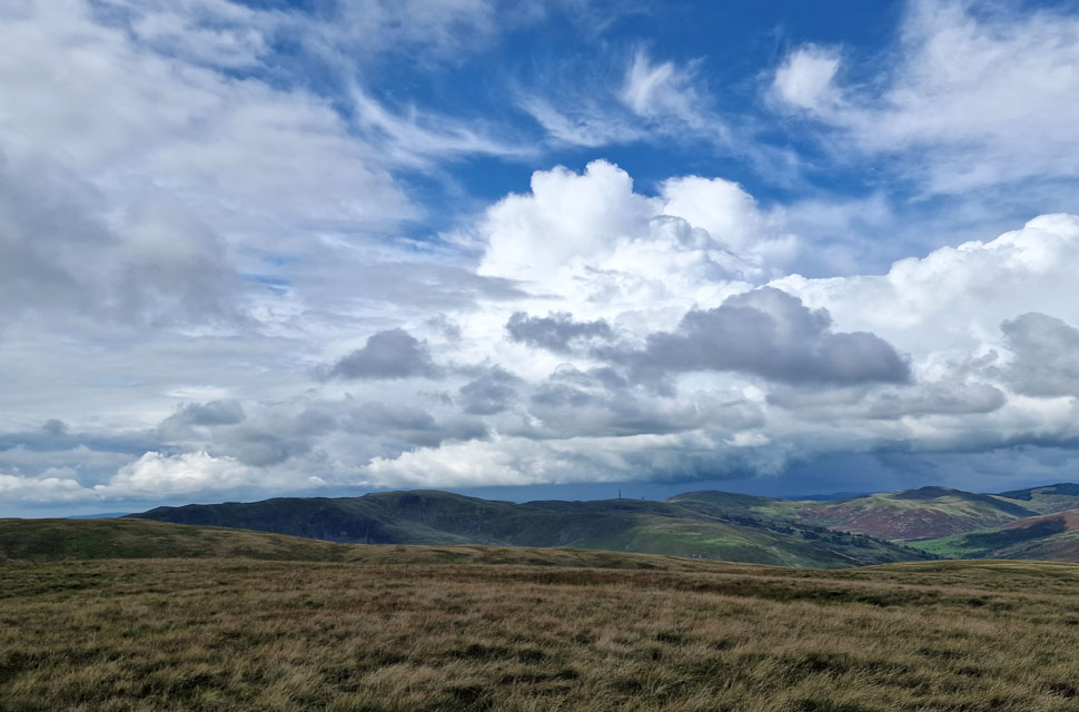
| Grayrigg Pike and Birk Rigg from Powson Knott. |
| With the edge of the Borrowdale valley seen to the far right. |
 |
| The Lune Gorge from Blease Fell. |
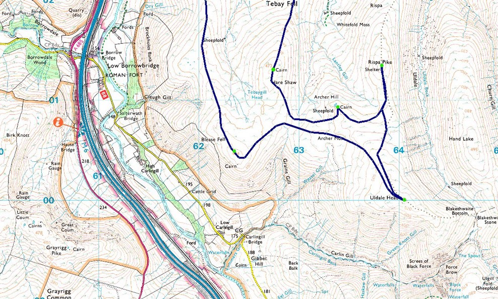
| After passing a local dog walker (who David had seen back at Tebay), we began the steady ascent on Blease Fell, shouldering a false summit as the ground underfoot began to get increasingly boggy. The local farmer appears to have laid a type of mesh from shoulder to summit, which, despite its purpose, kind'a blighted the landscape, especially where the mesg had begun to break up. We had climbed into the clouds, which brought a sudden drop in temperature, and I couldn't help but feel disappointed that we'd missed out on the views, but I guess that's another good reason for a return visit. |
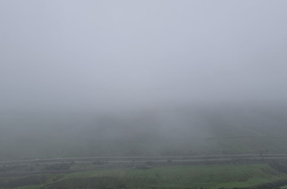 |
| Looking down on the M6 and the River Lune. |
| |
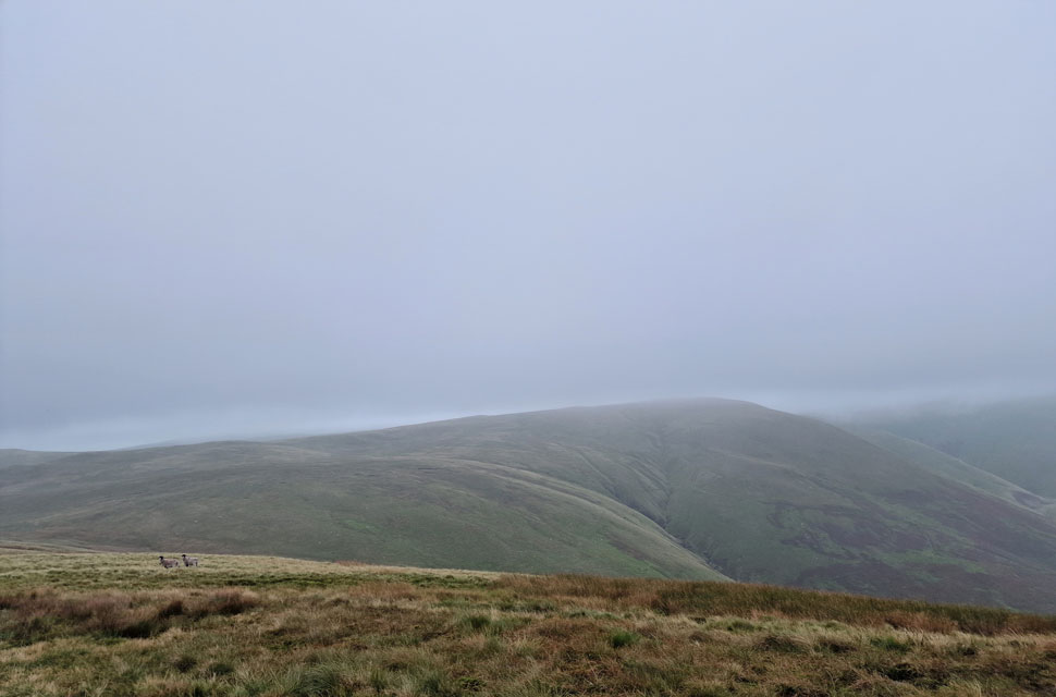 |
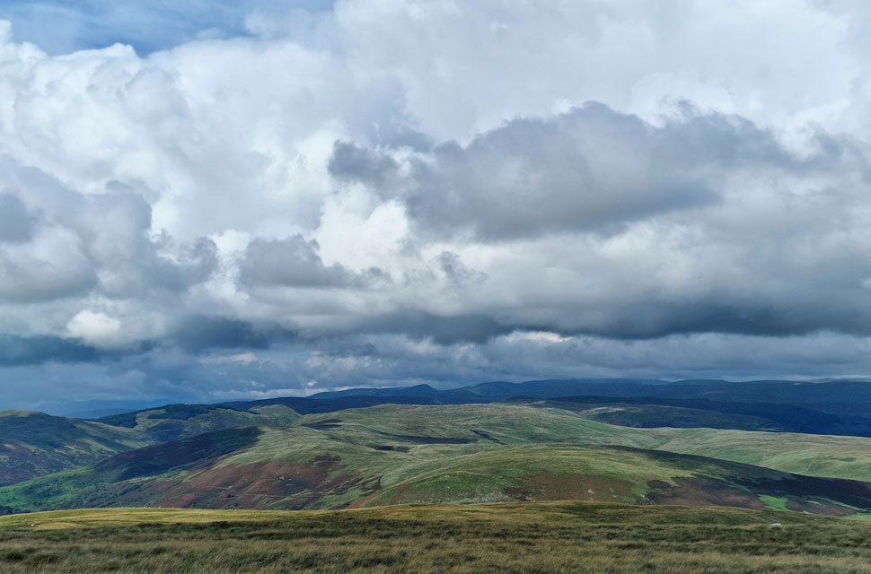
| Uldale Head from Blease Fell. |
| We left Blease Fell and took in the slight descent east towards Archer Moss (far left) from where we will begin our ascent on Uldale Head. |
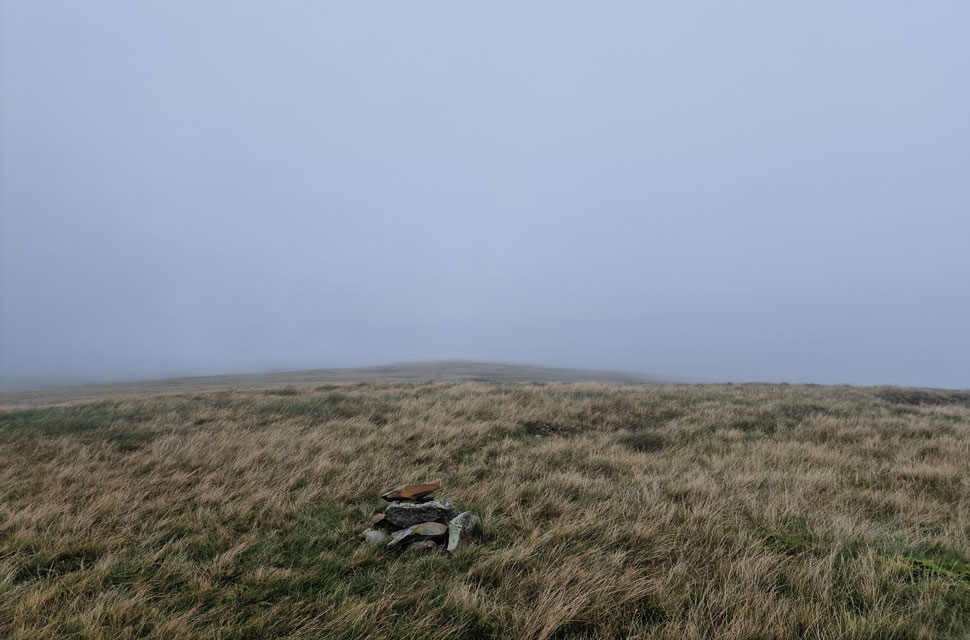 |
| Uldale Head summit. |
| We left Blease Fell behind and crossed Archer Moss, which was as boggy as expected, before beginning the steady plod on Uldale Head, ascending again into the cloud. With the summit reached, there was little in the way of views, but we hung around chatting, were the only noise disturbing the silence was the faint sound of the M6 motorway in the distance. |
 |
| Descending Uldale Head. |
| We descended Uldale Head and dropped out of the cloud, taking a second path we'd spotted that would lead us towards Archer Hill, which we followed for around 300 yards before striking easterly over pathless ground towards Rispa Pike. |
 |
| Rispa Pike appears. |
| We linked up with various trods along this section before arriving at the end of the ridge bound for Rispa Pike, from where it was a simple ascent towards the summit. |
 |
| Back on track bound for Archer Hill. |
| After passing a sheep kill, we began the steady ascent on Rispa Pike, and shortly afterwards, we were standing at the impressive summit shelter around the same time the cloud began to lift. Below us ran the Uldale Valley, while further east, the West Fell Ridge came into view. From Rispa Pike, we plotted our route around the head of Lantley Gill before linking back up with Uldale Head's north ridge. |
 |
| Hare Shaw from Archer Hill. |
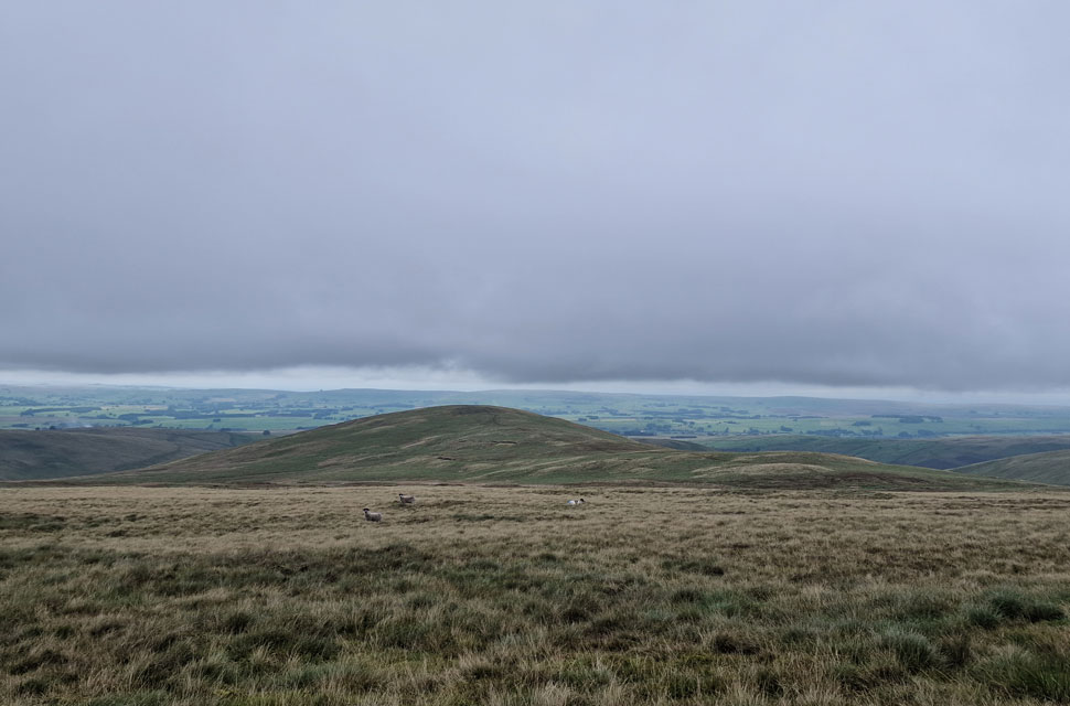
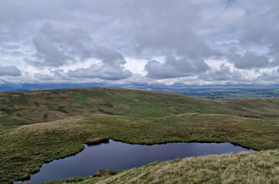
| We soon reached Archer Hill summit and were impressed by the nameless tarn below. The summit cloud had all but disappeared by now, and we were treated to murky distance views of The Calf and beyond. While the weather seems to be improving, we de-shouldered packs and tucked into an early lunch while plotting our route over Archer Moss, from where we'll gain Hare Shaw. |
 |
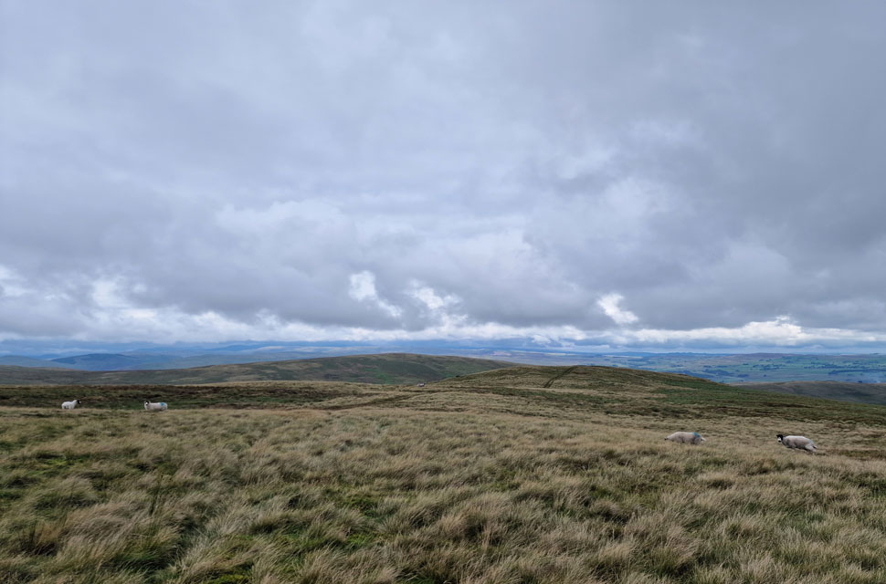
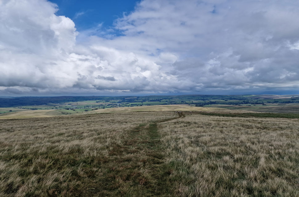
| Knott from Archer Moss. |
| |
 |
| Grayrigg Pike, Birk Knott and the Whinfell Ridge from Hare Shaw summit. |
| The sun came out as we crossed Archer Moss, and with it came instant heat. We spotted two or three trods from the moss up onto Hare Shaw's summit, some steeper than others. We began with the less steep trod before breaking away over rough and sometimes steep ground and arrived on the ridge around a hundred yards south of Hare Shaw's summit cairn. |
 |
| Looking towards a distant Harter Fell (Mardale) |
| With the Kentmere Horseshoe seen towards the left and Kidsty Pike and Branstree seen to the right. With around an hour to go until the rain arrives, we figured the clues were in the clouds. |
 |
| Descending Hare Shaw towards Knott and Weather Hill. |
| We descend as far as Weather Hill from where we head north westerly towards Waskew Head Farm. |
 |
| Waskew Head Farm. |
| Which looked delightful from the front but like a scrap yard from the back, with broken cars and farm machinery piling up around the yard. |
 |
| Looking down on Tebaygill Beck Ford. |
With Waskew Head behind us, we joined the rutted farm track, where it dawned on us why there were so many scrap cars behind the farm; we couldn't see Amazon ever making a delivery up here. The skies began to darken, and on more than one occasion we could feel impending rain in the air. The track crosses over Tebay Beck via the ford, from where we heard what appeared to be a lamb in distress. We soon spotted the lamb that had gotten its head trapped in a wire fence. The trouble was, the lamb was on private land, and to reach it, we would have to climb two stone walls bordered by spiked wire fencing.
We sighed at the possibility that before long a fox would come along, resulting in a nasty death for the trapped lamb. Sod it! Rod and I agreed we would rescue the lamb. We de-shouldered packs and scaled the first stone wall, pushing down the wire spikes for one another so each of us could cross before sprinting towards the second wire fence, where we repeated our actions. We crossed the second field and arrived at the lamb, which shook violently before realising we were there to help. Its horns were trapping the lambs head within the fence, and with hardly any give, I pushed the head down and back at the same time, and the lamb ran free. Feeling slightly exhausted, we ran back, crossing both walls and fences, to where David, Michael and our packs were waiting for us.
Two people from a neighbouring farm were looking towards us, and I hoped they'd seen what we'd done; if not, a simple explanation would be all it would take. We passed the farm and nothing came of it before descending back into Tebay right at the same time the heavens opened, unleasing the type of raindrops that forced us into our cars with hasty goodbyes. |
|
| |
| Back to top |
 |
|