|
Extended Round of Marchlyn Mawr |
 |
 |
8th October 2023 |
 |
|
Due to a combination of work and a poor forecast, I didn't make it to the Lakeland Falls last week. Instead, I walked locally over Winter Hill, intent on catching what was supposed to be a nice sunset, but due to thick clouds, it never materialised. With Rod attending his wife's birthday bash this weekend, David suggested an extended tour of the High Street fells from Hartsop which I jumped at, but work stepped in when one of my colleagues fell ill, and I had to let David down. To say I was disappointed would be an understatement, but watch this space as we have set aside that walk for another day.
Despite a dry forecast, high winds were affecting the Lakeland fells so much that I looked elsewhere to walk. I wanted to get my nails into something high, and that's when Snowdonia called. As you are probably aware, the mountains around Marchlyn Mawr reservoir are home to some of my favourite Welsh peaks, Namley Elidir Fawr and Foal-Goch, from which I decided to tag Y Garn as an out and back. It's been five years since I last summited Y Garn, a summit thats just over a mile away from Foal-goch and a stretch of ridge that has views to die for. |
|
Ordnance Survey 17 |
 |
| Snowdon/Conwy Valley |
|
|
|
| |
|
Overview |
|
|
| Ascent: |
3,442 Feet - 1, 049 Metres |
| Summits Over 3,000ft: |
3, Elidir Fawr - Y Garn - Foel-goch |
| Visiting: |
3, Elidir Fach - Mynydd Perfedd - Carnedd y Filiast |
| Weather: |
High Cloud With Weak to Strong Sunshine Breaking Through. Windy Across The Summits Highs of 24°C Lows of 16°C |
| Parking: |
Roadside Parking, Access Road Marchlyn Mawr Reservoir, Deiniolen |
| Area: |
Snowdonia National Park |
| Miles: |
9 |
| Walking With: |
On My Own |
| Ordnance Survey: |
OL17 |
| Time Taken: |
5 Hour 30 Minutes |
| Route: |
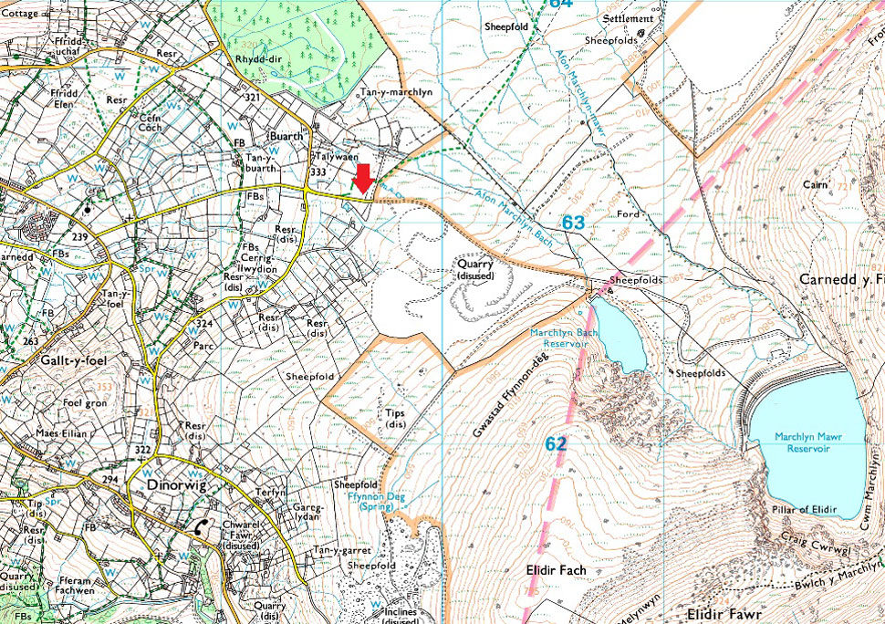
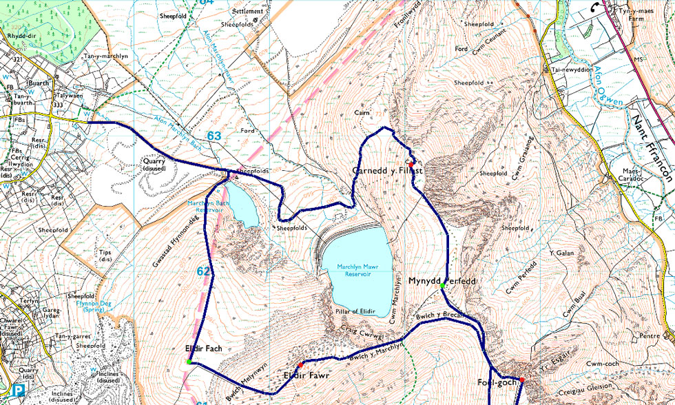
Access Road Marchlyn Mawr Reservoir - Elidir Fach - Bwlch Melynwyn - Elidir Fawr - Bwlch y Marchlyn - Bwlch y Brecan - Bwlch y Cywion - Y Garn - Bwlch y Cywion - Foel-goch - Bwlch y Brecan - Mynydd Perfedd - Carnedd y Filiast - Marchlyn Mawr Reservoir - Access Road Marchlyn Mawr Reservoir |
|
| |
|
Parking Details and Map |
|
|
| Nearest Post Code: |
LL55 3NA |
| Grid Reference: |
SH 596 630 |
|
| |
|
Map and Photo Gallery |
|
|
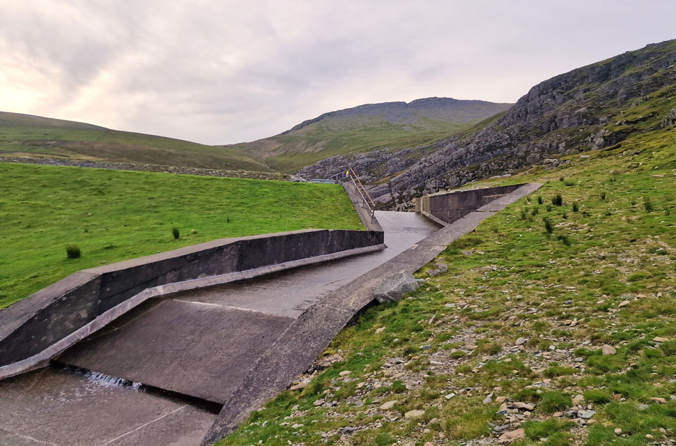 |
| Elidir Fawr from the outflow at Marchlyn Bach Reservoir 8:20am 16°C |
It was an incredibly mild start with temperatures at 8:00am at 16°C which is barmy for the time of year. That said, here at valley level, the wind was much stronger than the forecasted 15–25 mph, where at times you could easily add 10mph on top, causing concerns for the strength of the wind at summit level. There were already half a dozen cars parked up, but I still managed to park in the exact same space as on my previous visits.
Once through the gate, I began the mile-long walk to the Marchlyn Bach Reservoir as the wind howled around my ears, while at the same time feeling slightly disappointed that it was in fact cloudy and not as clear as forecast. The reservoir road rose steadily, and instead of kicking down a gear, I kept pace, eager to place foot on the hillside. With the reservoir reached, I turned right, passing the outflow before joining the foot of Elidir Fach. |
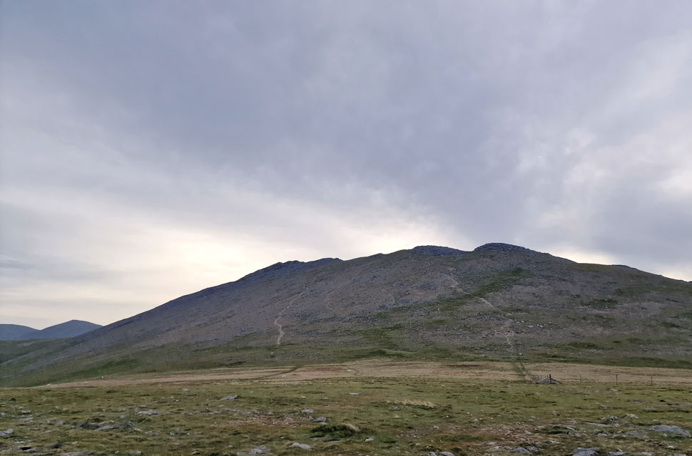 |
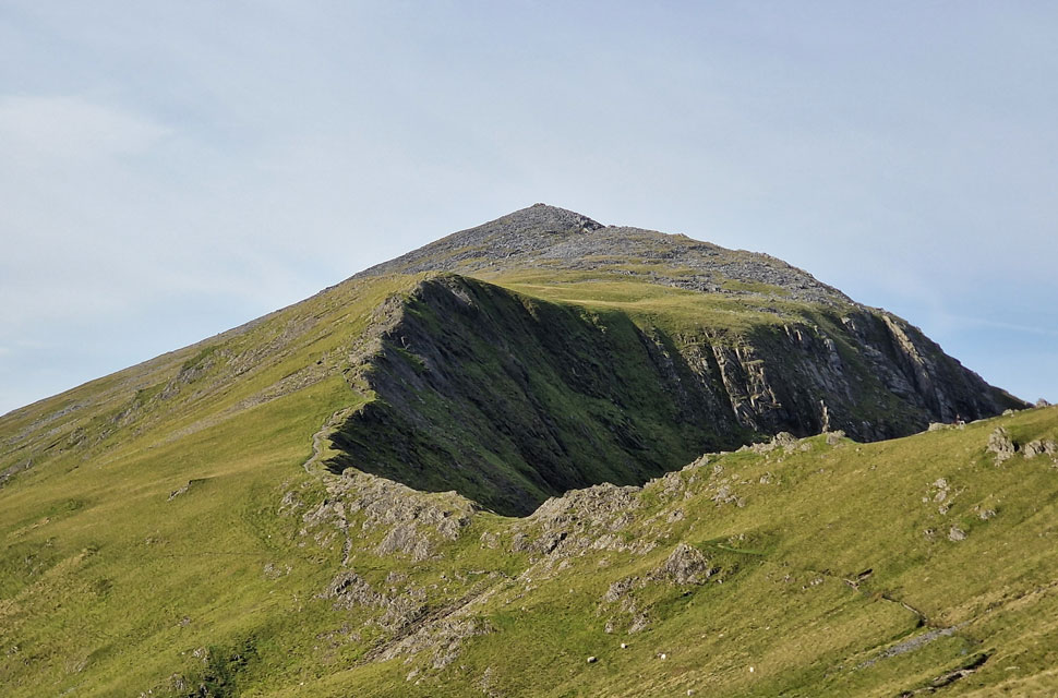
| Elidir Fawr from Elidir Fach. |
| The pace I showed on the reservoir road wasn't reflected in the steep climb to join Elidir Fach's north ridge, which was not helped by the strengthening wind approaching from the west. Two false summits later, I joined the ridge proper, still wondering what had happened to the forecasted sunshine. |
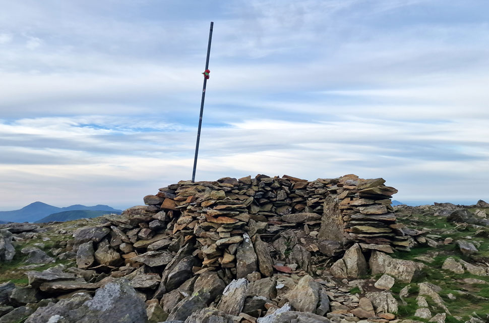 |
| Elidir Fach summit shelter. |
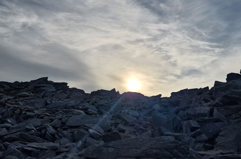
| I had every confidence that the low, weak sun would eventually break through the cloud layer, which was already starting to break up further west. The wind would help, but for now I'll have to put up with the low light. Having the choice of two paths to ascend Elidir Fawr, I ascend towards the south-west spur rather than direct before noticing two figures drop from the summit who begin their descent. Our paths would not cross. |
 |
| Summit shoulder, Elidir Fawr. |
| Weak sun almost breaking through the cloud now. |
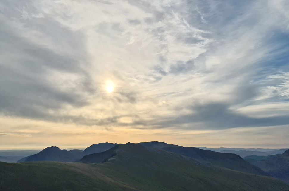 |
| Hazy morning sunshine over Foal-goch, Y Garn, the Gylders and Tryfan. |
| The mass of Elidir Fawr shields me from the wind and I quickly work up a sweat during my ascent while keeping an eye on the clouds overhead. Already blue skies are appearing over Caernarfon Bay towards the west but it's much slower inland. From my ascent I watched the two walkers I'd seen earlier approach Elidir Fach before continuing down the ridge. |
 |
| The view towards Snowdon/Yr Wyddfa. |
No false summits here the summit shoulder is soon reached owing to the steep gradient made easier by the zigzagged path with just one final push onto the summit shoulder.
During my last visit I crossed the summit spur and found clusters of huge boulders that I had to negotiate often having to descend to get around them, todays lesson learned I keep left and followed a grassy/rock path all the way towards the summit shelter. |
 |
| Looking back on the summit spur. |
| |
 |
| Elidir Fawr summit shelter. |
| I had reached the summit shelter at the same time as a Welsh-speaking chap with his two sons, whom I greeted with a 'morning' but got nothing in return. As soon as I had passed into the shelter, I had an overwhelming sense that I'd just walked into someone's living room, and no sooner had I summited, I was starting my descent. It happens and I thought nothing of it. |
 |
| Descending Elidir Fawr. |
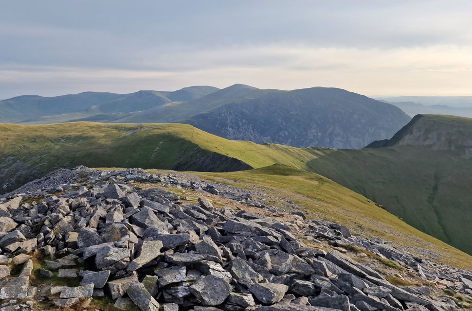
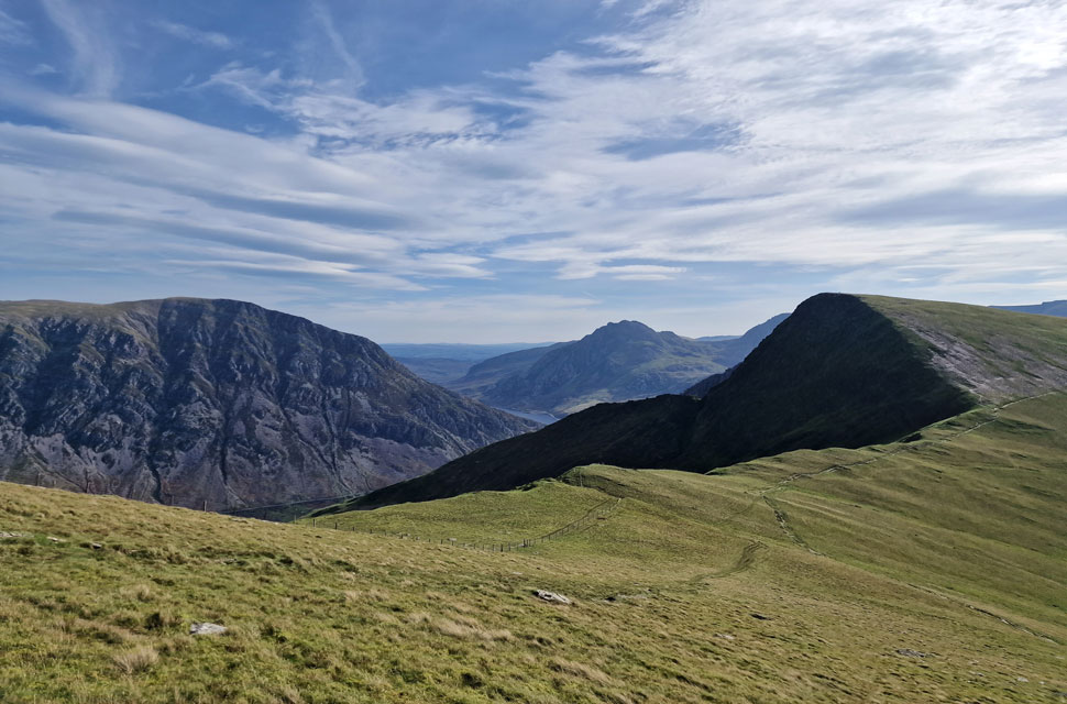
| With splendid views of Mynydd Perfedd, Foel-goch, Pen yr Ole Wen, Carnedd Dafydd, Carnedd Llewelyn and Yr Elen. |
 |
| Descending Bwlch Marchlyn. |
| With the descent of Elidir Fawr behind me, I joined Bwlch Marchlyn from where I will go onto Bwlch y Brecan. I'm undecided at this point whether to summit Foal-goch next or continue onto Y Garn, then summit Foal-goch on my return. |
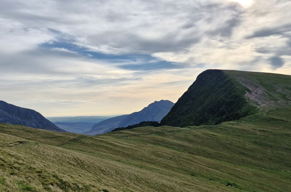 |
| Tryfan peeping above Bwlch y Brecan. |
| With Foal-goch to the right. If your thinking 'blimey the ascent of Foal-goch looks steep' you'd be right, but it's also one of those ascents that is direct and before you know it you're standing on the summit. |
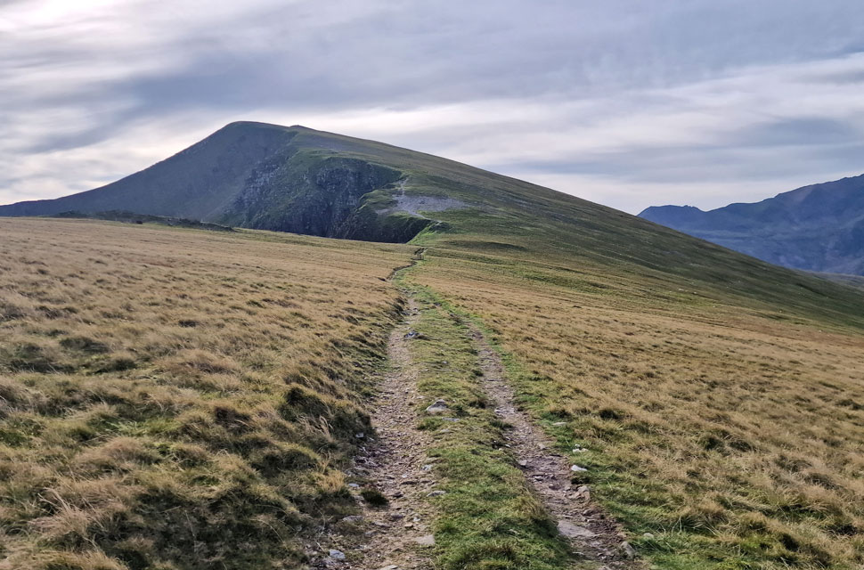 |
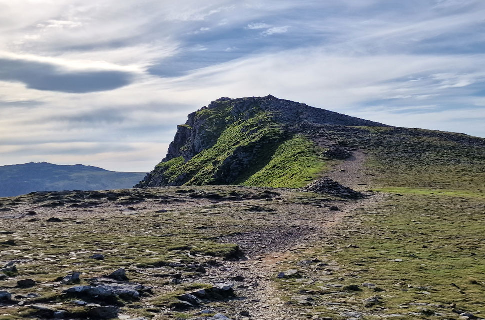
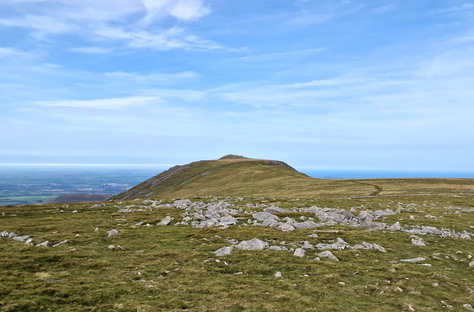
| Y Garn appears from Bwlch y Cywion. |
| Despite it being mid-morning now, it was still cloudy with just the odd spell of sunshine, but the signs were all there that the sun would eventually break through the cloud, which confirmed my decision to summit Foal-goch on my way back as I snaked around the head of the valley until Y Garn came into view. A fell runner who was close behind me did, in fact, head up Foal-goch; his pace was so quick that he would pass me again at the col ahead. |
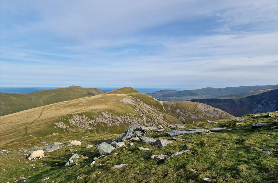 |
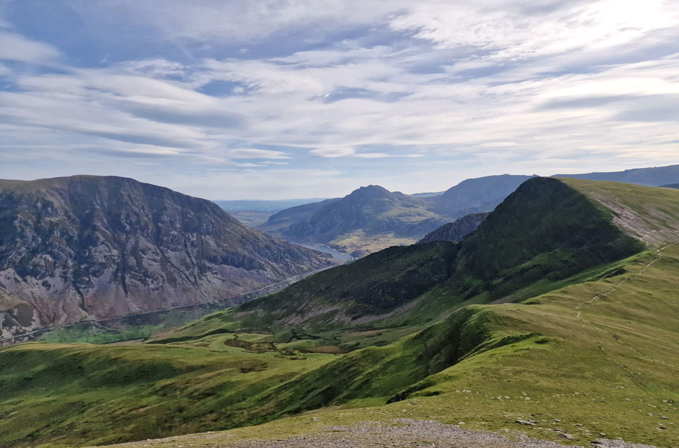
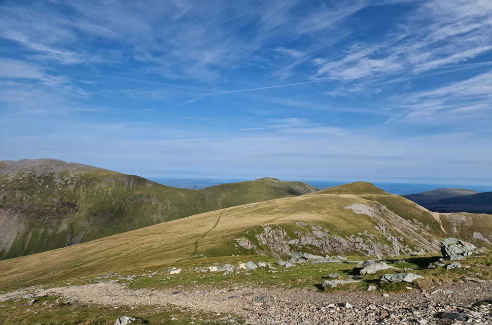
| Looking back on Foal-goch, Mynydd Perfedd and in the distance, Carnedd Filiast. |
| You can see my approach path to the left and the 'easier' approach to Foal-goch on my return. |
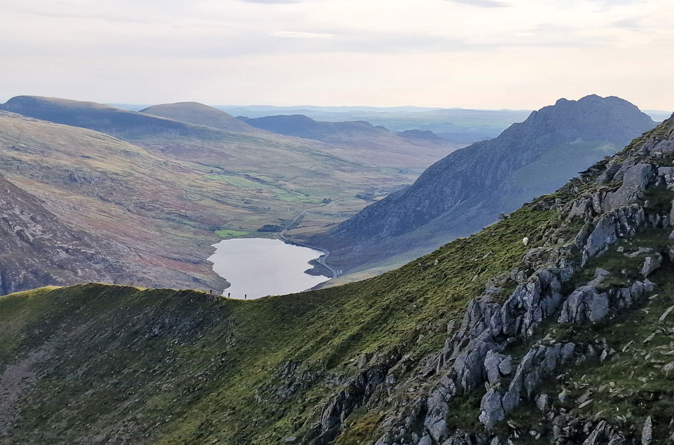 |
| A trio of walkers on Y Garn's north-east ridge with Llyn Ogwen below and Tryfan to the right. |
| With Y Braich and Llithrig y Wrach in the distance. |
 |
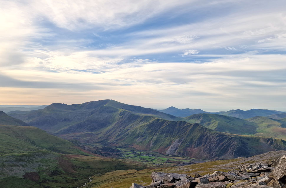
| The view beyond Foal-goch towards Elidir Fawr. |
| It's taken the best part of the morning but the cloud has eventually cleared leaving blue skies, sunshine and rising temperatures! |
 |
| Final push on Y Garn. |
| |
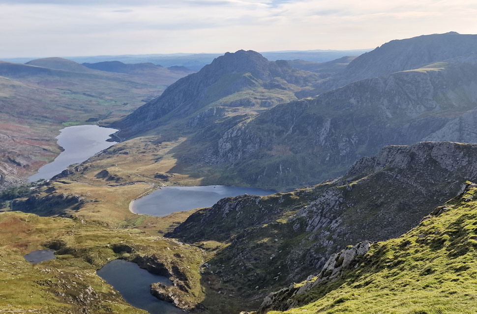 |
| Jaw dropping views from Y Garn. |
| Here looking beyond Llyn Clyd (tarns) towards Lllyn Idwal, Llyn Ogwen, Tryfan and Gyder Fach. |
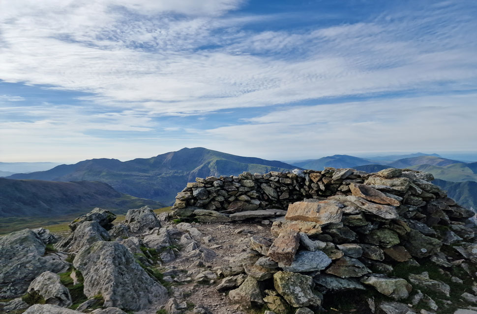 |
| Snowdon/Yr Wyddfa from Y Garn. |
I was passed for the second time by the fell runner, this time during his descent of Y Garn, who went on to retrace my route over Bwlch y Cywion before I arrived at the summit shelter, where I found a chap finishing off his lunch. We struck up a conversation soon, learning that the guy was from Chester and was a HGV driver.
This guy, unlike the chap on Elidir Fawr, wouldn't let me get a word in edgeways as he explained his route and other routes he'd taken, including how far I should follow the wall, where to turn left, and the name of the stream I should cross. I nodded politely and felt exhausted once the chap had stopped talking. A nice guy who, I think, was heading over to the Glyders next! |
 |
| What a view. |
| Time to head back now. |
 |
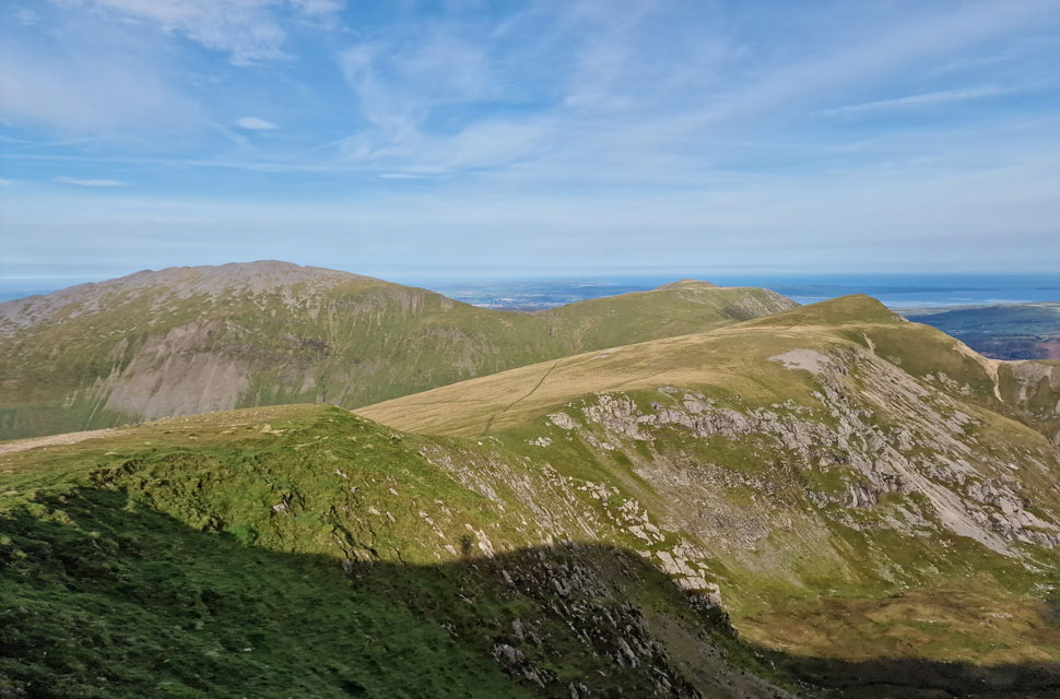
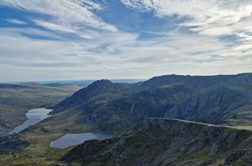
| Elidir Fawr, Mynydd Perfedd, Carnedd Filiast and Foal-goch from Y Garn. |
| With the summit of Y Garn now behind me I joined the ziggzagged path and had arrived at the col above Llyn Clyd within minutes having past three other walkers in ascent. From the col I head right towards Foal-goch. |
 |
| Looking back on Y Garn. |
| |
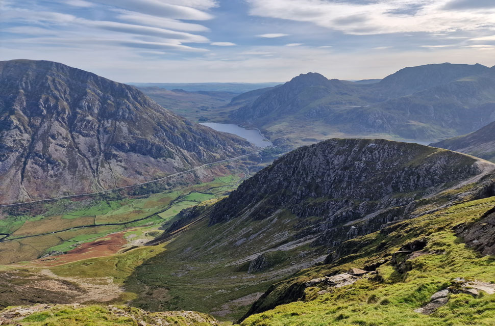 |
| Pen yr Ole Wen, Llyn Ogwen, Tryfan and Glyder Fach from Foal-goch. |
| Unlike the steep pull from Bwlch y Brecan, my ascent on Foal-goch was pleasant, with just two gentle inclines cushioned by soft grass underfoot. On arrival at the summit, a couple emerged, and we swapped pleasantries based mainly on the views and, despite the wind, how mild it was. |
 |
| Mynydd Perfedd and Carnedd Filiast from Foal-goch. |
| I let the couple have the summit to themselves as they were breaking for lunch. It was windy but comfortably mild to sit down and enjoy the views. |
 |
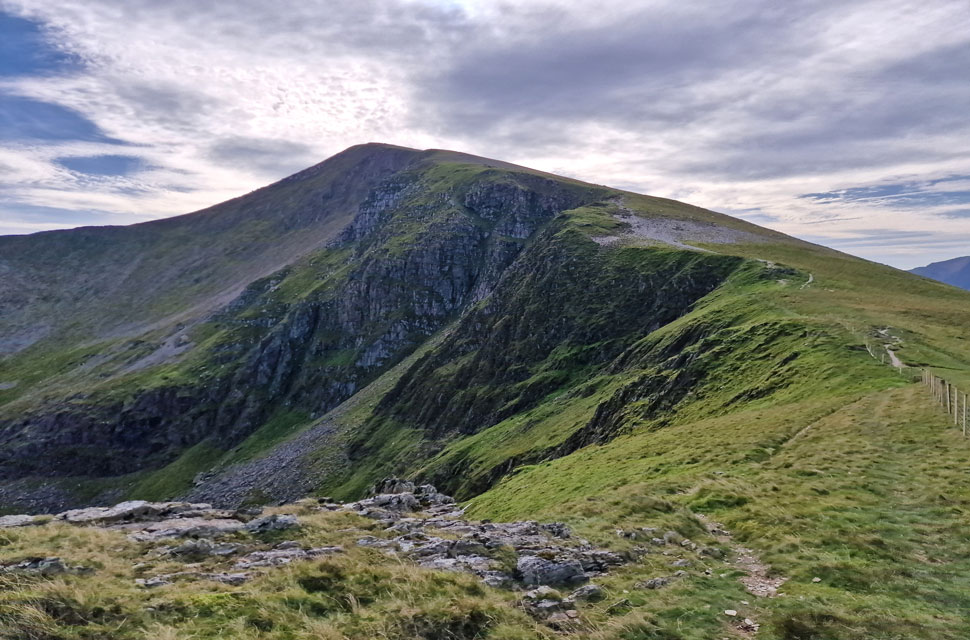
| A close up of Elidir Fawr seen beyond Bwlch Marchlyn. |
| The descent from Foal-goch was expectably rough underfoot but relatively quick due to the zigzagged path. It was at the base of the path that I passed four walkers one of whom yelled out, "Are we going up there" I don't think my 'steep is direct' metaphor would have worked on him. |
 |
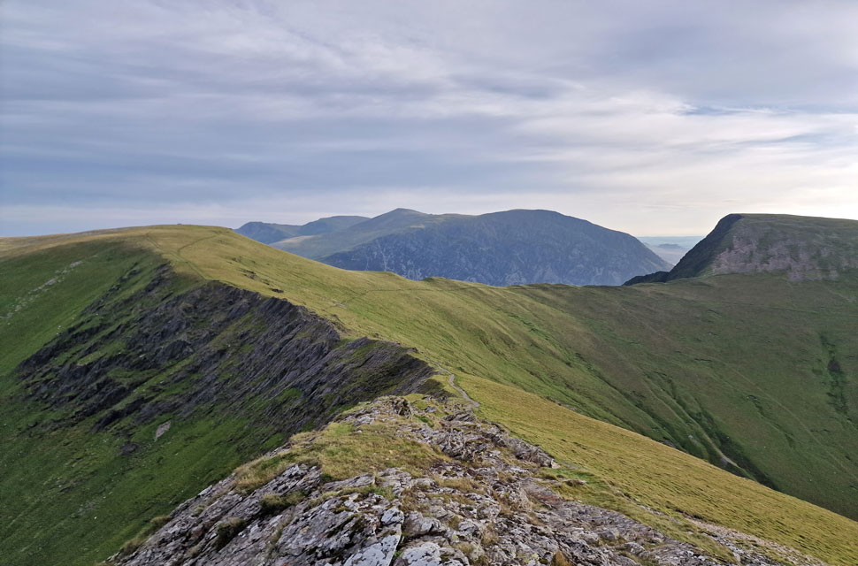
| Great views over Blwch y Brecan towards Pen Yr Ole Wen, Tryfan and Foel-goch. |
| Taken from todays final ascent on Mynydd Perfedd. |
 |
| Carnedd Filiast from Carnedd Perfedd. |
| One of the walkers and his labrador, whom I'd passed during my ascent of Y Garn, were arriving at the summit at the sametime. They had come from the direction of Elidir Fawr. It didn't make sense that the lad must have ascended Elidir Fawr in the time it had taken me to descend Y Garn, ascend /descend Foal-goch. This lad had one hell of a pair of lungs on him, and so did his dog, for that matter. He didn't spend any time at the summit, instead opting to head towards Carnedd Filiast up ahead. |
 |
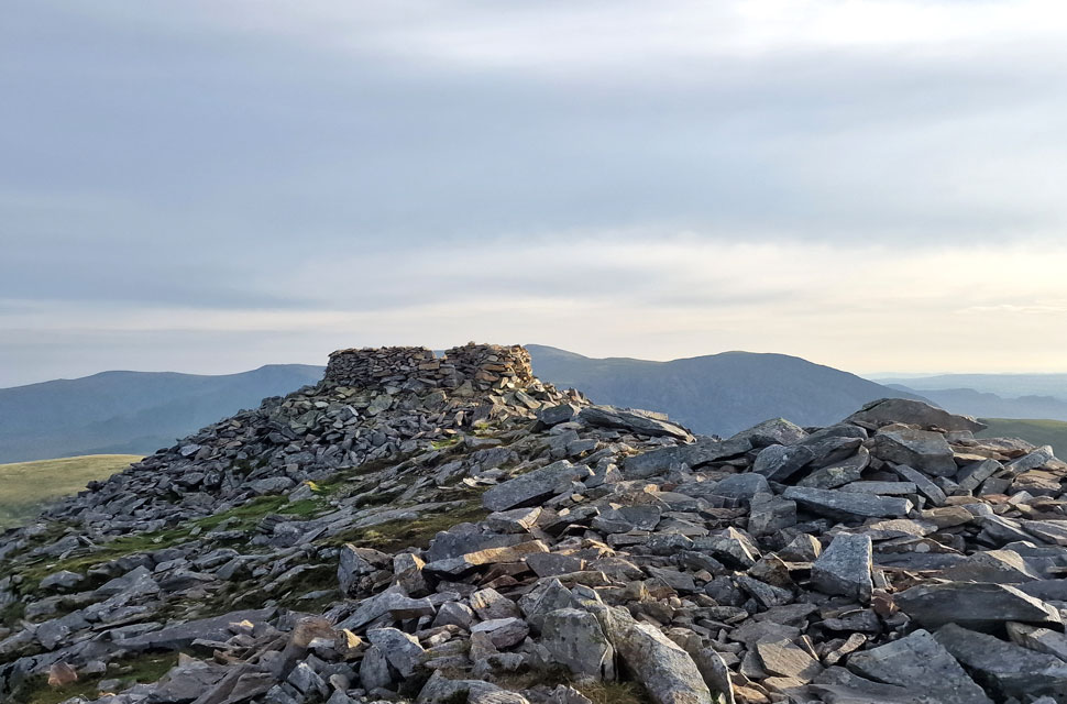
| The Atlantic Slab, Carnedd Filiast. |
| So called because this giant rock slab used to be on the seabed of the Atlantic Ocean. |
 |
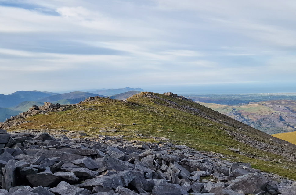
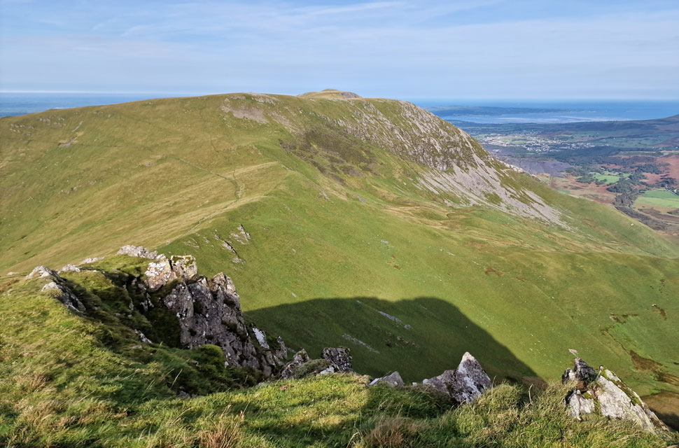
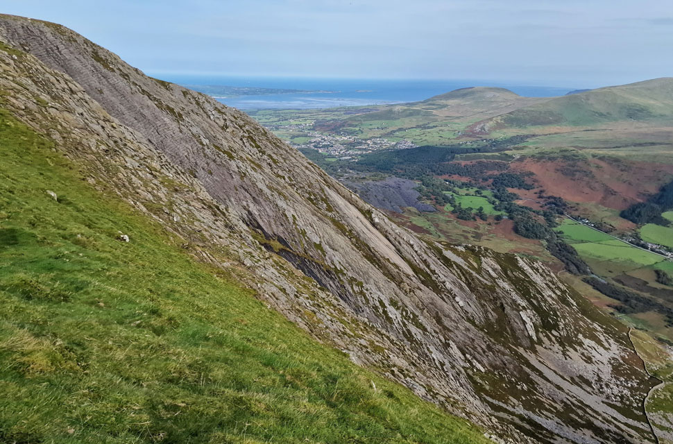
| Elidir Fawr and Snowdon/Yr Wyddfa from Carnedd Filiast. |
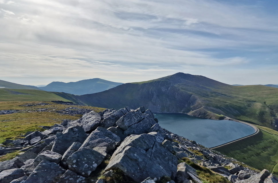
I followed the young lad and his dog towards Carnedd Filiast, where just before the summit outcrop is reached, a wall has to be scaled via a ladder sty. I watched the lad pick his dog up and then disappear; he didn't visit the summit nor descend back to the reservoir road, causing me to wonder which way he had descended. Four more walkers and their dog were passed, and for a moment it looked like I'd get the summit to myself before I spotted a young girl at the summit shelter. If I'm quick, I'll get a couple of minutes of summit time.
The girl soon arrived, who was local and incredibly moved by the views, going on to explain that this view was her favourite; the passion in her voice confirmed this. I let the girl have the summit to herself and began my descent, where I was passed by two more walkers and a guy walking solo. Sheltered from the wind, the hot afternoon air could have been mistaken for a typical summers day, but it was October and unseasonably warm now. Continuing my descent, I pass two girls and their dog, but no one else until I reach the reservoir road. Marchlyn Mawr sparkled in the afternoon sunshine as I began the mile walk back, taking off my windproof and adding a pair of sunglasses. The wind was warm and refreshing as my views extended beyond the Menai Straight and two huge tankers ankered off Caernarfon Bay. |
|
| |
| Back to top |
 |
|