|
Black Fell & Holme Fell from Yew Tree Tarn |
 |
 |
22nd October 2023 |
 |
|
The trio were meant to get together on Saturday on an unconfirmed route on Helvellyn, but with a poor forecast, the walk was cancelled, and each of us was left to our own devices for the weekend. I nearly took Rod's advice and enjoyed two consecutive lie-ins, but I was itching to get out, and for an unexplained reason, I couldn't get Black Fell and Holme Fell out of my head.
I'm guilty of neglecting both of these fells. My last visit was a staggering seven years ago when I completed my Wainwrights in 30 Walks project when David and I linked the duo with Loughrigg Fell and Lingmoor Fell on what I recall was a blisteringly humid day.
I won't be stretching out that far today, instead linking the two summits from Yew Tree Tarn, Iron Keld Plantation, and almost as far as Hodge Close before the easy stroll onto Holme Fell. If I knew that during those seven years I'd get a repeat of the conditions that I had today, I would dedicate this whole website to Black Fell and Holme Fell. What a fantastic welcome back. |
|
| Wainwright Guide Book Four |
 |
| The Southern Fells |
| Everybody knows Tarn Hows, but few the summit of the fell rising behind, above miniature plantations and slopes richly clothed in bracken to the north-east. This is Black Fell. |
 |
|
|
|
| |
|
Overview |
|
|
| Ascent: |
1,490 Feet - 454 Metres |
| Wainwrights: |
2, Black Fell (Black Crag) - Holme Fell |
| Weather: |
Light Showers, Localised Cloud Turning Brighter Through The Morning. Highs of 12°C Lows of 5°C |
| Parking: |
Parking Spaces, Yew Tree Tarn |
| Area: |
Southern |
| Miles: |
6.5 |
| Walking With: |
On My Own |
| Ordnance Survey: |
OL6 |
| Time Taken: |
4 Hours |
| Route: |
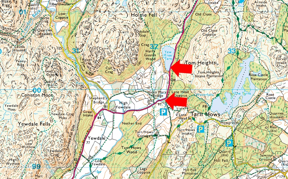
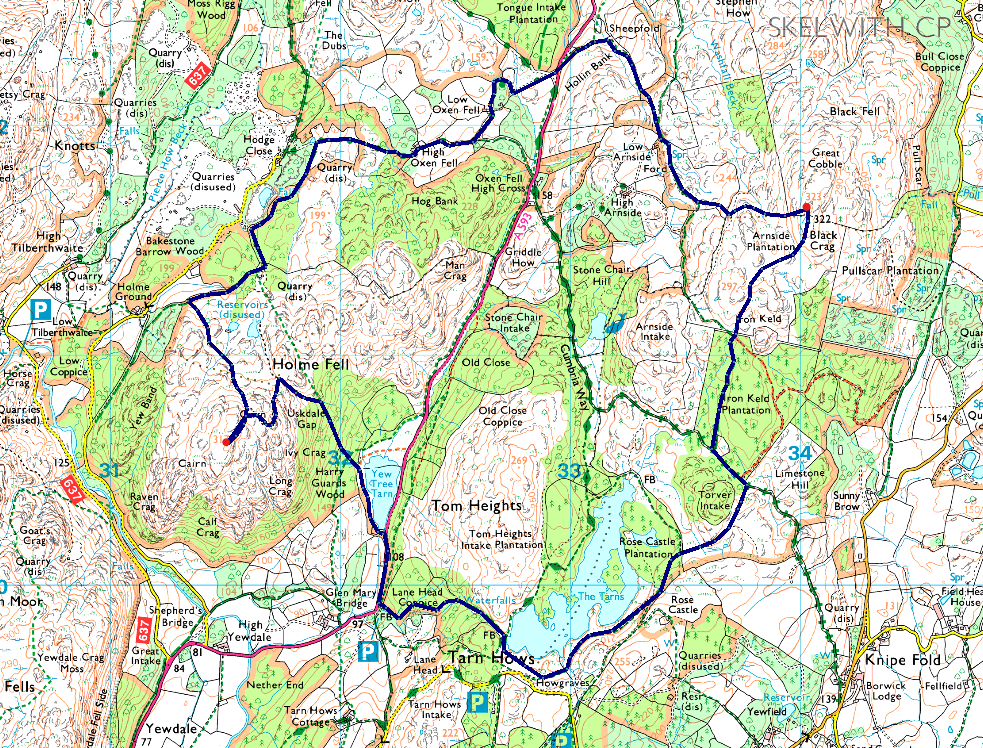
Yew Tree Tarn – Lane Head Coppice – Tarn Hows – Iron Keld Plantation – Black Fell (Black Crag) – Low Arnside – Low Oxen Fell – High Oxen Fell Farm – Hodge Close – Holme Fell – Uskdale Gap – Harry Gaurds Wood – Yew Tree Tarn |
|
| |
|
Parking Details and Map |
|
|
| Nearest Post Code: |
LA21 8DP |
| Grid Reference: |
Yew Tree Tarn - SD 322 000 - Glen Mary Bridge SD 321 699 |
| Notes: |
There are two places to park close to Yew Tree Tarn, the first is a layby on the A593 which is found along side Yew Tree Tarn where you will find room for around five well parked cars, my advice is to arrive early to secure yourself a spot. Parking here is free. Just a short distance south is the National Trust Car Park at Glen Mary Bridge where there is ample parking throughout the year, both car parks provide excellent access to Yew Tree Tarn, Tarn Hows, Black Crag and Holme Fell, parking is free for National Trust members but charges apply for non members. |
|
| |
|
Map and Photo Gallery |
|
|
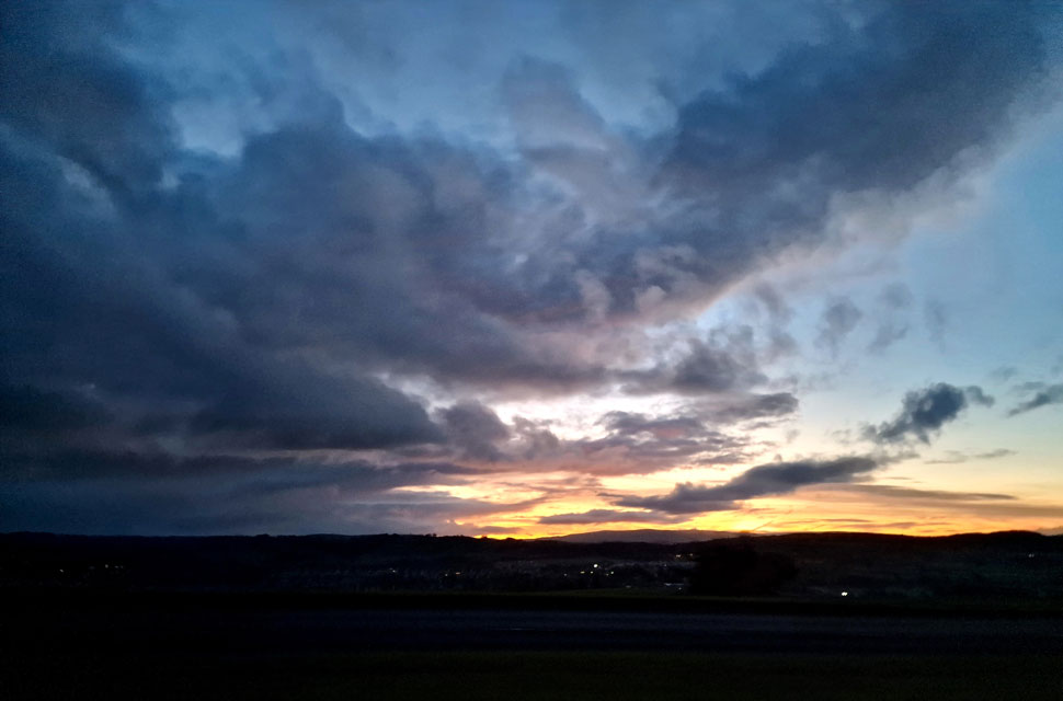 |
| Dawn over Kendal 7:20am |
| The skies were full of stars when I left home, which continued as far north as the Lake District, where clouds had begun to build. As I drove past Kendal along the A59 I left the clear skies to the east for cloud cover the further west I drove. Moments after stopping to take this photo, it started to rain, and my heart sank as I began to come up with plan A and even plan B walk. |
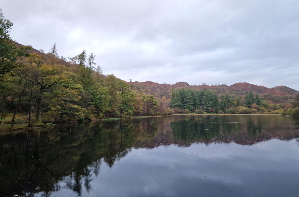 |
| Yew Tree Tarn, Yewdale 8:00am 5°C |
It was still raining when I arrived at Yew Tree Tarn but at least Dawn had broken revealing mixed patches of cloud that from my current location, appeared well above my surrounding summits. I had backed my car up to a photographer who had trained her tripod and camera towards the tarn while I waited for the rain to ease. After several minutes, I got bored, and so I began my kit up using my tailgate as I sheltered from the rain.
The photographer had left her car running, and her headlamps pointed directly at me like I was on stage, but at least I could see what I was doing. After a quick patdown and sweep of the boot, I closed the tailgate, locked the car, crossed the road, and entered Lane Head Coppice, bound for Tarn Hows. |
 |
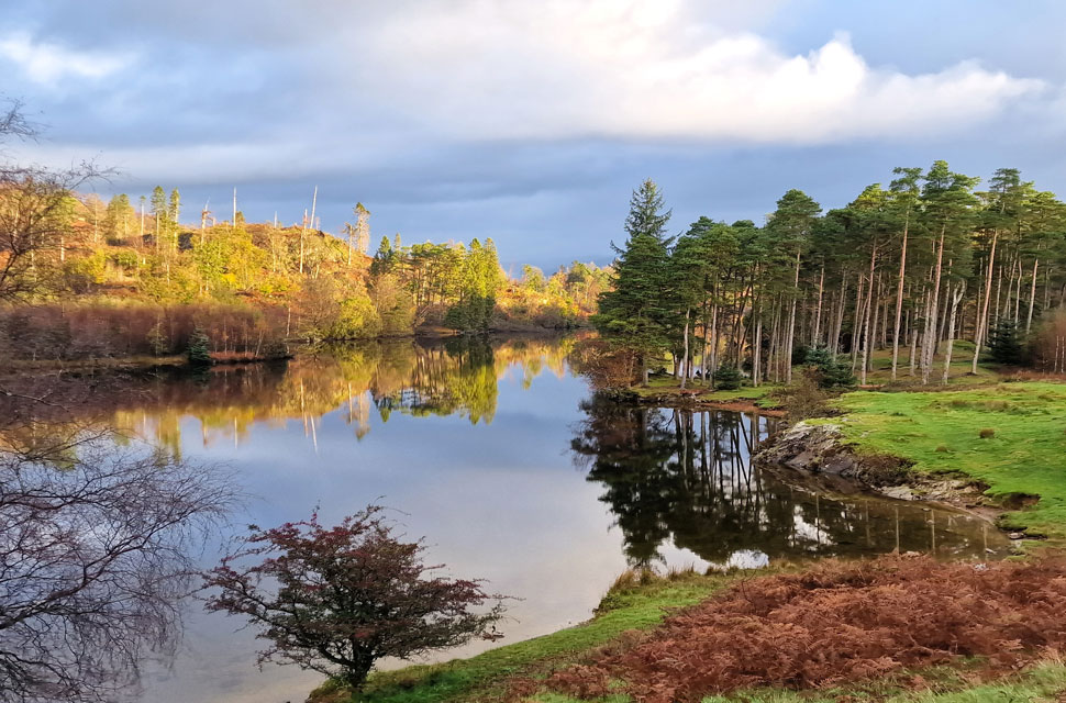
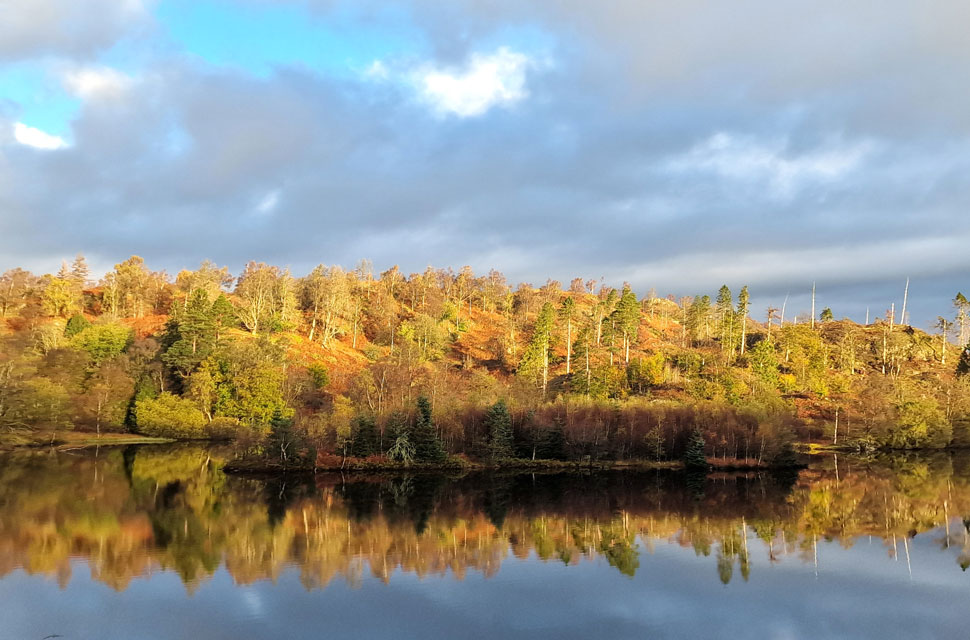
| Glorious light as Tarn Hows is reached. |
From the moment I entered Lane End Coppice it dawned on me that I'd forgotten to add my gaitors and bring along my fingerless mitts as today's photos were being taken using my mobile phone. It had rained heavily overnight, and the woodland floor reflected this with pine needles resting on top of sodden tree roots. It was a struggle to stay upright at times until the narrow path plateaued as the lower falls came into view. The falls were surrounded by tree branches, but that didn't stop me from going in for a closer look. Much the same for the grander upper falls, where I stood watching last night's rain cascade into a deep well at the base of the falls. Large droplets of rain peppered my head and jacket, exploding down the back of my neck and forehead. It was unclear while ascending through the plantation whether it was still raining or if the trees were shaking themselves dry like you would after collapsing a wet umbrella. I was soaked.
I'd forgotten how steep the path was, and after dodging more tree roots and wet rock the light above the tree canopy began to increase, and I knew I was close to the tarn now. Even without gravity, the force of the water cascading from the tarn was enough to cancel out any other noise. Not far from the tarn, the outflow flowed alongside large moss-covered boulders. Further downstream, the roots from a fallen tree had dammed a section of the outflow, which under any other circumstances would have been removed, but today the roots did a great job of stemming the flow of water. Turning around, I passed over a wet slab of rock, the light increasing from above before I emerged at Tarn Hows where I was greeted by the most wonderful morning light. |
 |
| Views from Tarn Hows towards Wetherlam. |
| The light increased and it felt like all my Christmases had rolled into one. I couldn't believe just three hours earlier I had hit my phone's snooze button and thought about going back to sleep. |
 |
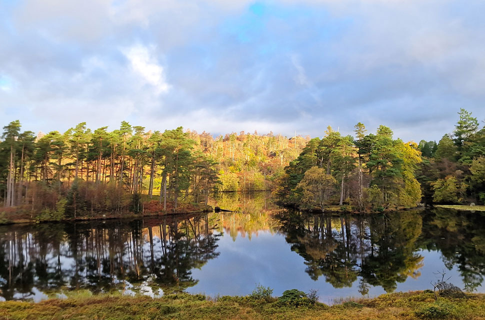
| Tarn Hows. |
| The fantastic light show continued to illuminate the autuminal colours on the opposite side of the tarn. My only regret was that I was probably a week too early to reap the full benefit of Autmun at Tarn Hows. |
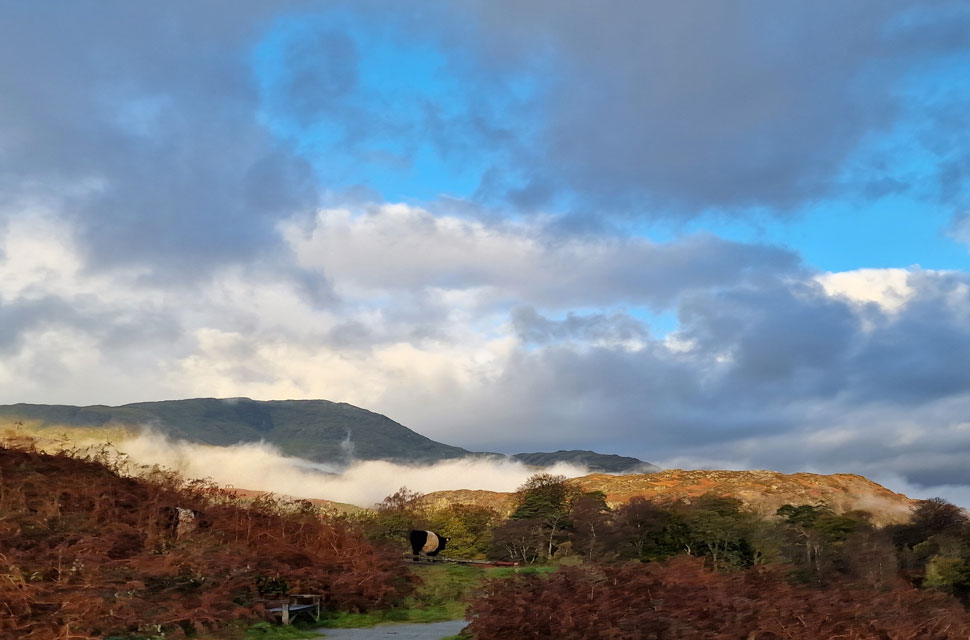 |
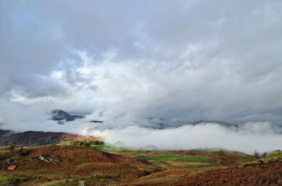
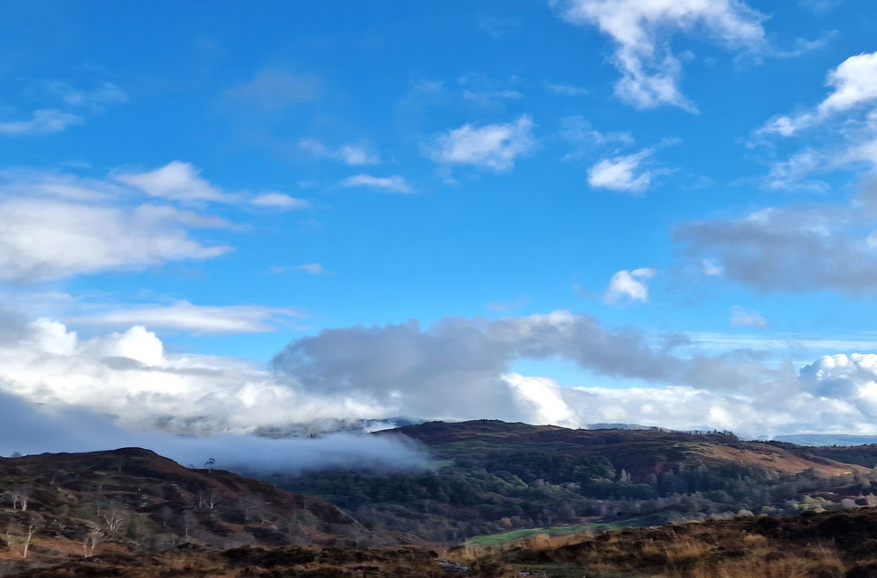
| Yewdale cloud inversion. |
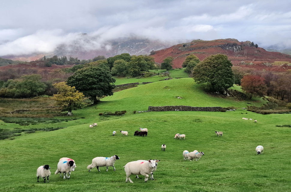
| I had rounded the southern half of the tarn when I noticed a cloud inversion forming over Yewdale/Tilberthwaite just about the same time a herd of Belted Galway's walked into view from higher up the fell side. |
 |
| Morning light, Tarn Hows. |
| I left the southern half of the lake and started to walk along the east section, where I couldn't take my eyes off nor believe my luck in how incredible the light was. I thought I had the place to myself until I noticed a photographer perched with a full-length tripod on the viewing platform known as Rose Castle further up the hillside. Our gazes locked as I passed below and we traded a one-handed wave. |
 |
| Tarn Hows. |
| The light show continues as the path began to rise into Rose Castle Plantation. |
 |
| One last photo ... |
| Here as I look back on Wetherlam and the cloud inversion which appears to lifting. |
 |
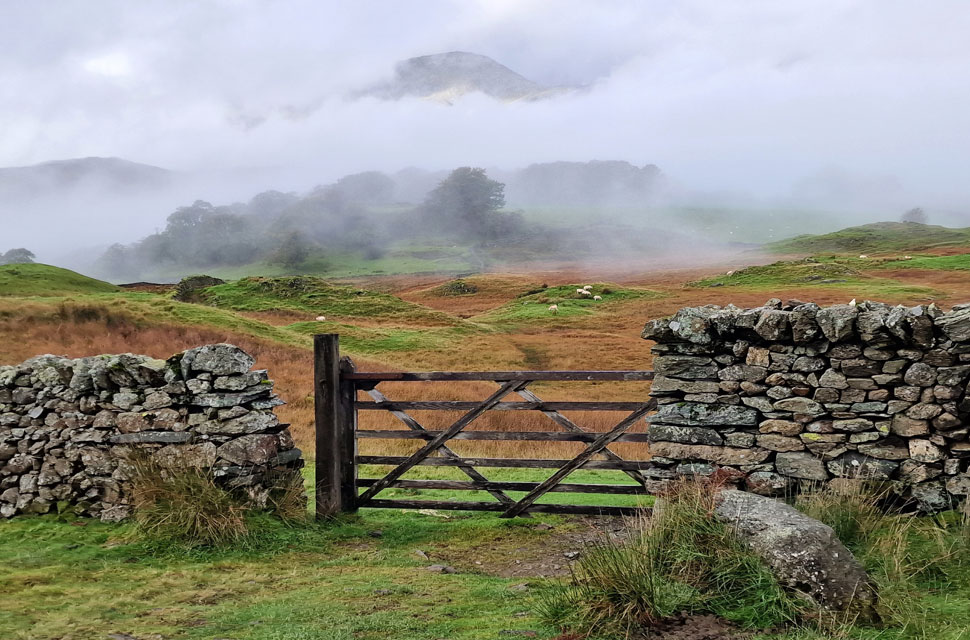
| Torver Intake. |
| As the path heads left around the northern half of the tarn I break right and pass over a wooden style from where I spotted the path across a section of bog made that bit more boggier by our hooved friends, the Belted Galways. |
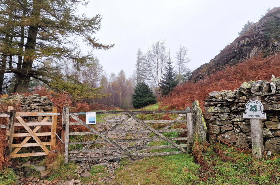 |
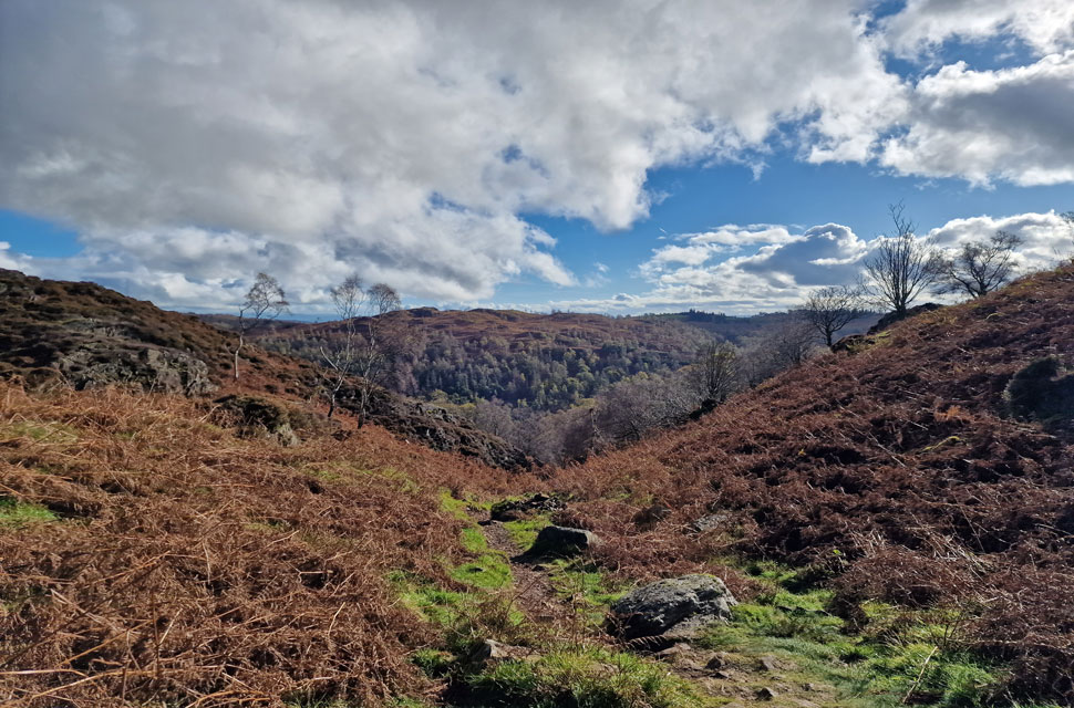
| Heading through Iron Keld. |
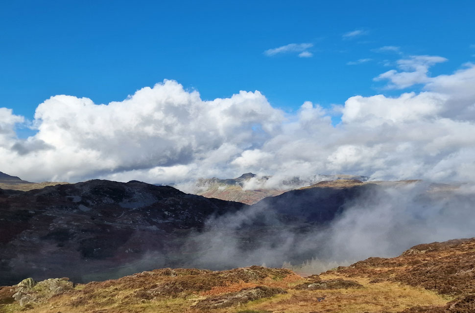
Cloud cover increased, and with the little ascent I made, conditions started to turn misty with clouds clinging to the tops of the trees. I crossed paths with a second herd of Belted Galways, this time three adults and one calf straddling the path ahead. My approach saw the calf and two adults head away, but the remaining adult looked down its nose at me with fixed eyes which was just the warning I needed to head into the bracken until I was well clear.
The path began to rise again, and from a distance, I spotted a spaniel running up and down the hillside. Its owner stood nearby next to a transit van. They were too far away for a hi, and as quickly as they'd appeared, I'd walked them out of view. |
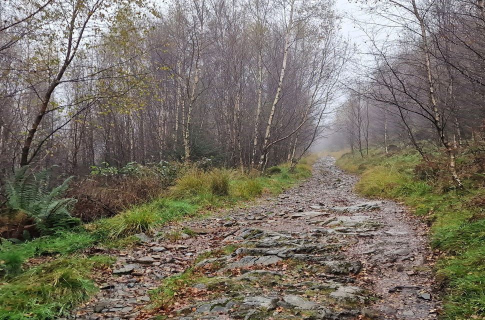 |
| Passing through Iron Keld. |
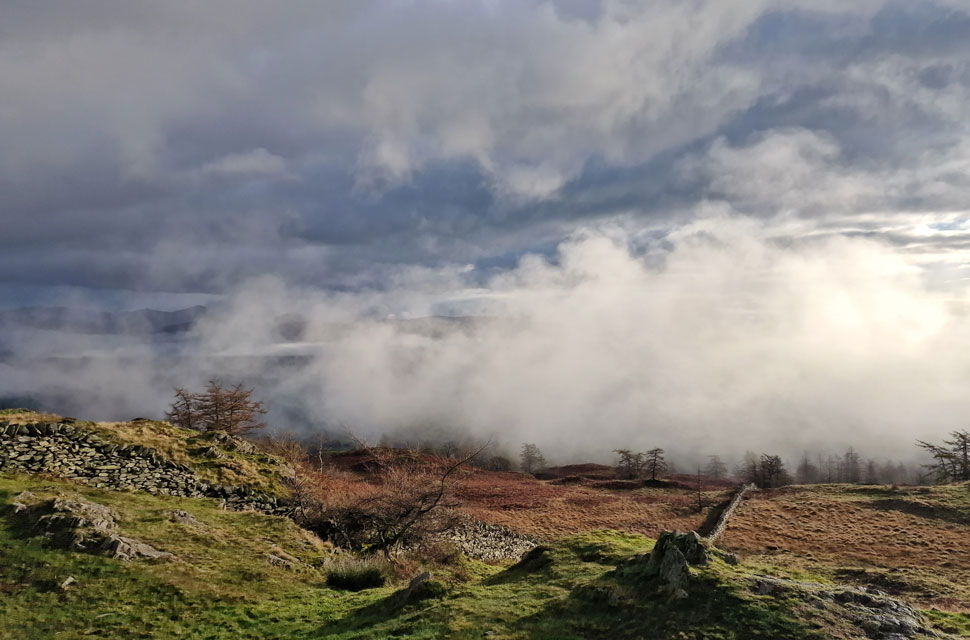
| Just under half a mile of sheer silence and mist. |
 |
| Emerging into Arnside Plantation. |
| The path ended at a second gate which I passed through before hooking a sharp right into the Arnside Plantation by which time the mist was beginning to lift as the sunlight forced its way through the cloud layers. |
 |
| Wetherlam and Iron Keld from Arnside Plantation. |
| Light continued to pour over the fell side now revealing the path over on the left. |
 |
| Iron Keld Plantation, Tom Heights and Wetherlam are revealed. |
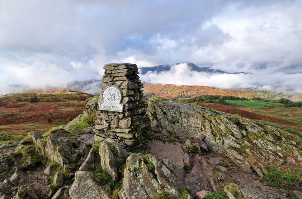
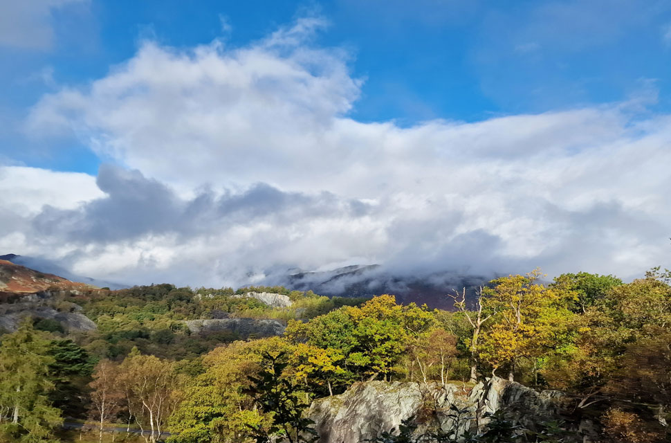
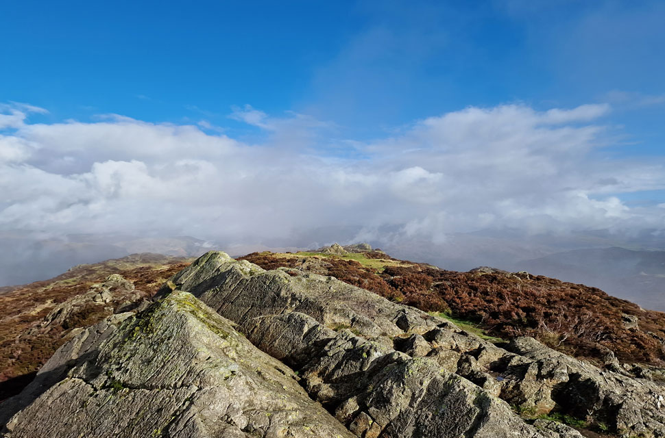
| Despite my absence, I recognised the trig point perched on the Black Fell summit as soon as it came into view. The path, now easy to follow, led over and around outcrops of dead bracken before the short rise towards the summit. |
 |
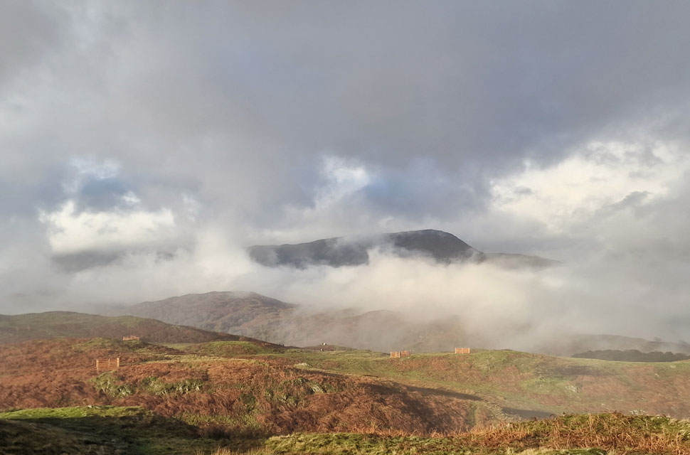
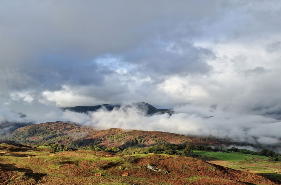
| Retreating cloud inversion over Yewdale and Low Arnside. |
| With Low Arnside Farm appearing below. |
 |
| The view South towards a glimpse of Tarn Hows. |
| |
 |
| Yewdale cloud inversion. |
| If these views continue I'm never going to make it to the summit. |
 |
| Wetherlam from Black Fell (Black Crag) summit. |
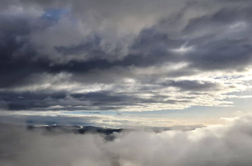
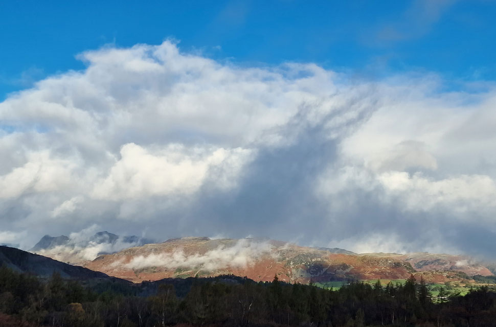
| Not one second revealed the same view as the cloud rolled in and out like waves on the ocean; not only that, but the cloud was beginning to lift all around the compass. |
 |
| Looking East... |
| ...towards Windermere and Ambleside. |
 |
| But today... |
| ...west was best. |
 |
| More Easterly views. |
| |
 |
| High and Low Arnside from Black Fell (Black Crag) |
| Just when I thought the inversion was retreating it began to roll back in over Low Arnside Farm now obscured somewhere in the cloud below. |
 |
| Passing through Low Arnside. |
| I somehow managed to pull myself away from the summit and began my descent over more swollen ground towards Low Arnside. The cloud inversion seemed to halt over Low Arnside as the cloud overhead darkened and began to thicken. |
 |
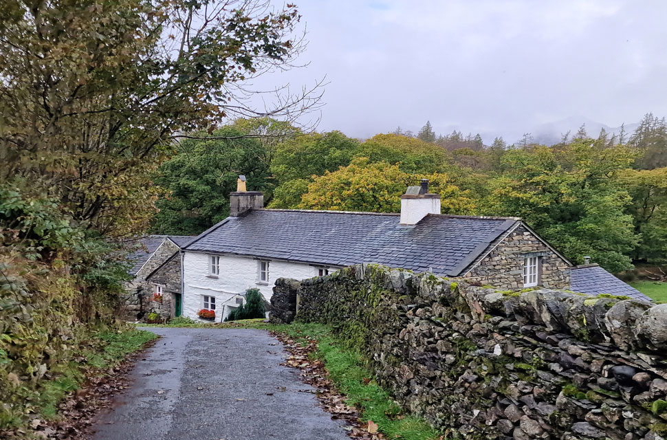
| Low Arnside Farm. |
| After passing through the previous gate I followed narrow trods over more swollen ground flanked by grazing sheep on both sides soon emerging on the track that by passes Low Arnside Farm. |
 |
| Descending Hollin Bank. |
| I had left any brightness at the top of Hollin Bank, from where it began to rain lightly before turning heavy and vertical to the point where I stopped to add my pack's rain cover. No sooner had I deshouldered, and you guessed it, it stopped raining. The track descends, then re-ascends, where I was brought back to reality by the sound of bikes and cars travelling on the A593 below. |
 |
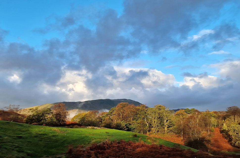
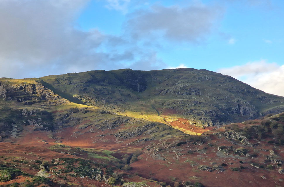
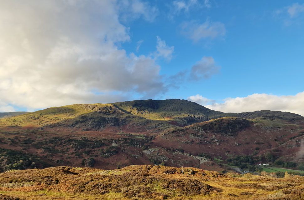
| Great How (foreground) and Lingmoor Fell from Low Oxen Fell. |
| I passed the A593 with ease and joined the road at a fork in the road signposted left for Hodge Close or right for Little Langdale. The road steepens as views open out over a cloud-covered Lingmoor Fell, while further north pockets of cloud gather in the coves below Dollywagon Pike and Nethermost Pike. |
 |
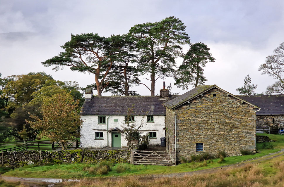
| High Oxen Fell Farm. |
| The road peaked at Low Oxen Fell, from where it began a slight descent towards High Oxen Fell Farm, which was where I was greeted by a farmer's Collie who let me pet her at my feet while she waited for the farmer to arrive on a quad bike a short time later. The farmer passed with a nod and as the dog leapt up onto the back of the bike before they rode off in the distance. |
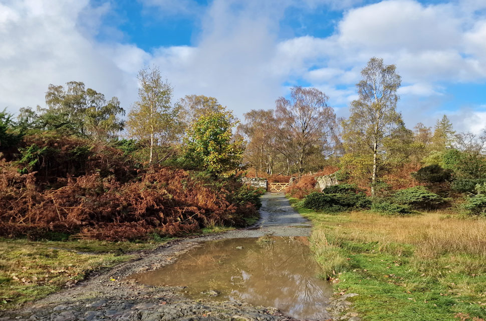 |
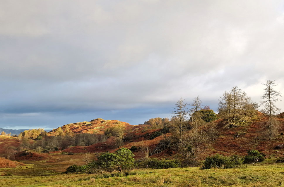
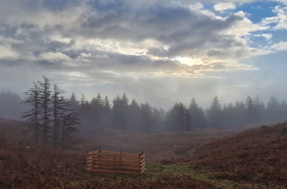
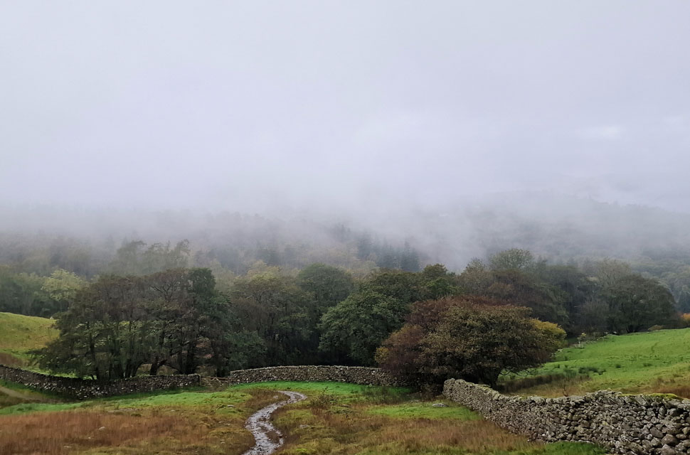
| Passing through Stang End Moss. |
| Shortly after passing High Oxen Fell Farm, the lane ends at a gate where a sign warns drivers of the 'no through road ahead'. I passed through the gate as the sun came back out, dishing out mild air and heaps of crisp autumn light. |
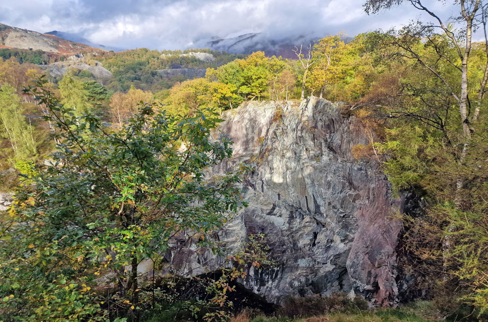 |
| Hodge Close Quarry. |
I continued through Stang End Moss until I came across a sign post for Yewdale, where I turned left. It had been some years since I last walked this route, part of which had remained lodged in my head, leaving the old boy mumbling "I remember this" often to myself, which is quite odd as most days by lunchtime I'd forgotten what I'd eaten for breakfast. |
 |
| The long distance view... |
| ...here towards the distance Langdale Pikes. |
 |
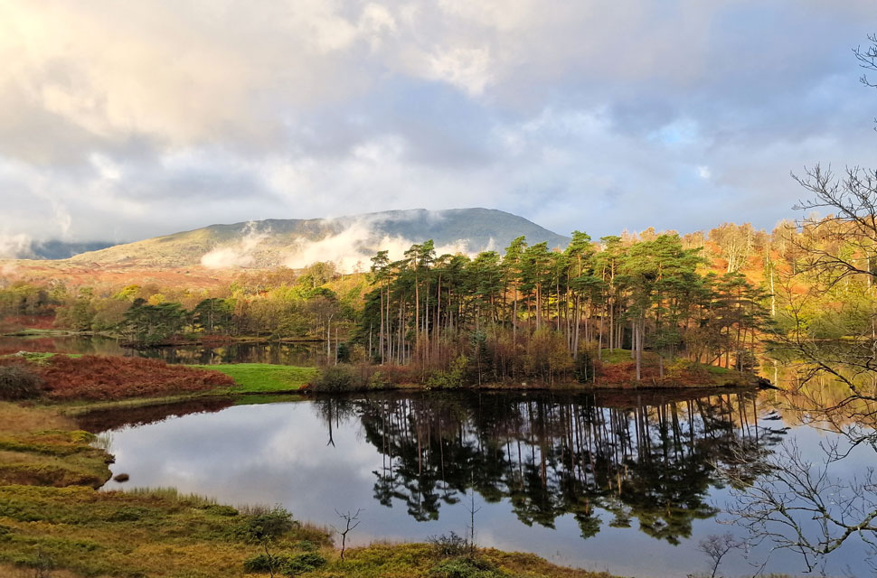
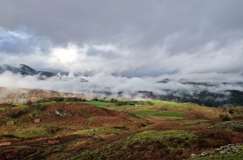
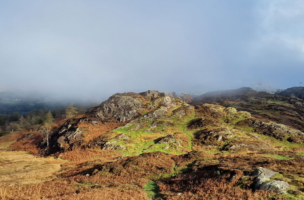
| Ivy Crag (left) and Holme Fell (right) |
| With Hodge Close behind me I continued along the track until it swerved right from where I picked up the cairned path towards the old 'tree girt' tarns (old reservoirs) which I pass to the right before ascending steadily towards Holme Fell summit. |
 |
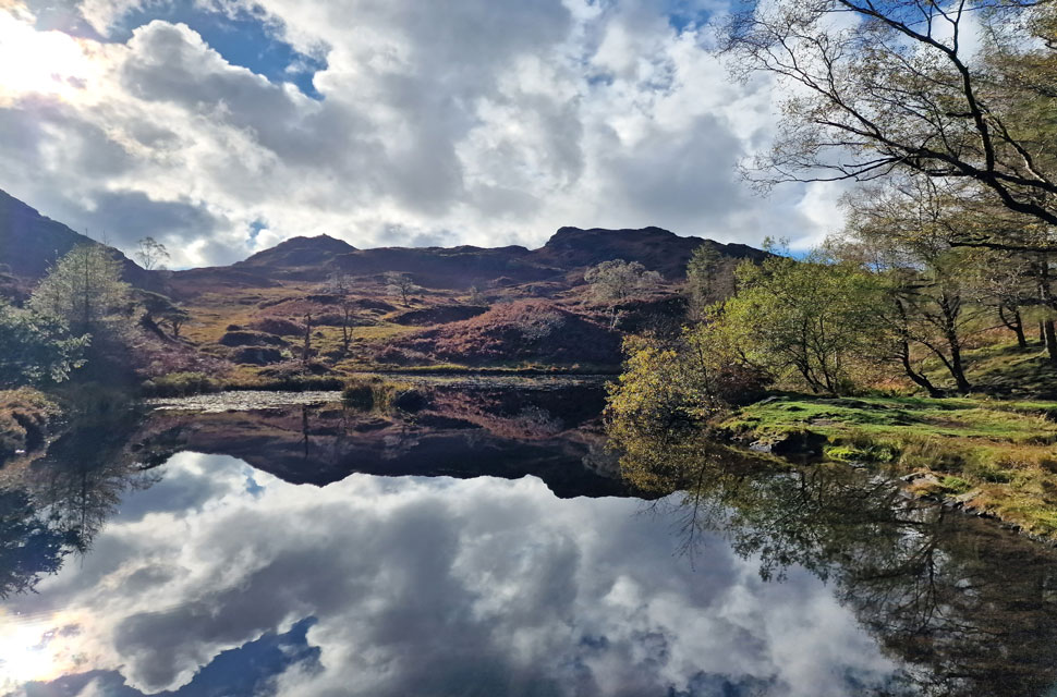
| Old reservoir reflections. |
| |
 |
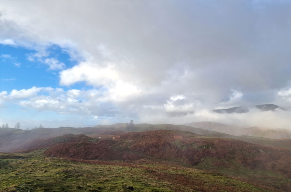
| Distant views over Lingmoor Fell. |
| Towards The Langdale Pikes. |
 |
| Distant views of Black Fell and the lingering cloud inversion. |
| From the old reservoir the path rises over swollen ground while flanking the head of Uskdale Gap to my far left before beginning the short but steady ascent on Holme Fell summit. |
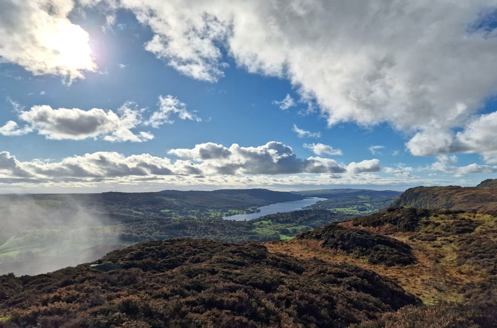 |
| Coniston Water from Holme Fell. |
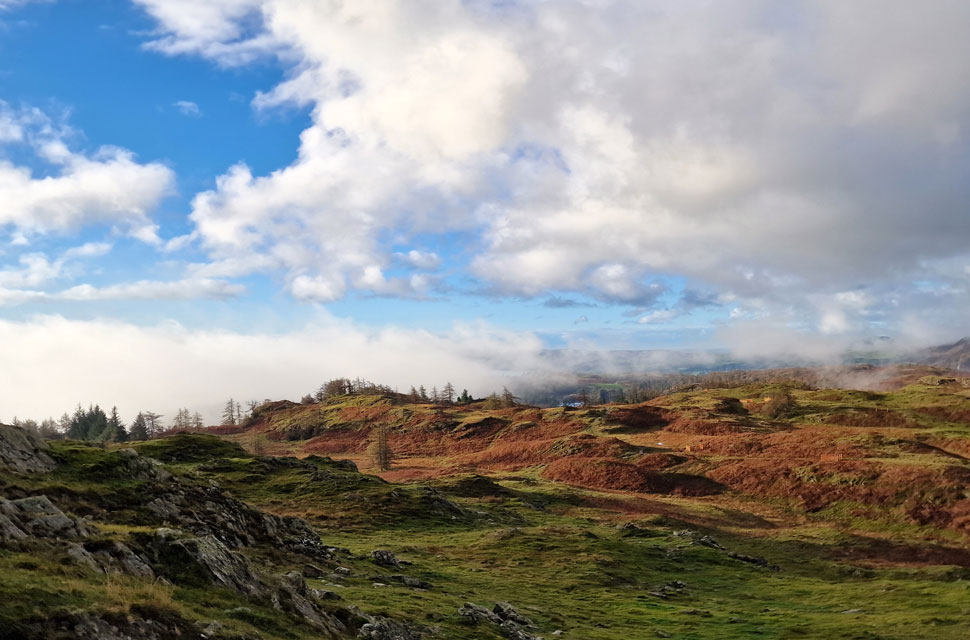
Although not steep, I did have to take care when ascending towards the summit, where two rock steps had to be negotiated, which had a healthy mix of mud and slime over polished rock. I made a mental note to be careful during my descent later.
The rock gave way for grass and heather, and soon the summit cairn came into view, which I passed heaving slightly, not from exhaustion but from the fact that by now I was overheating in the late morning sunshine. The summit cairn was passed as I made my way towards the southern end of the summit, where I was lured by the views of Coniston Water in the distance. |
 |
| Looking back on the summit cairn. |
| Mesmerised by the views it was at this slab of rocks where I de-layered and treated myself to a piece of Freddo chocolate which I had nicked from my granddaughters stash before I left this morning, the chocolate (sorry Penny) went down a treat which I washed down with long sips from my bite valve. |
 |
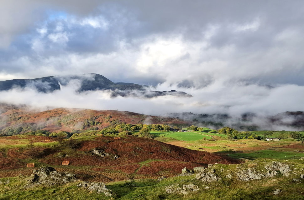
| Steel Edge on Wetherlam. |
| Cloud was beginning to gather below but with no real momentum this time due to a lack of wind and mild temperature. Whilst sat on the rock slab I admire the views over towards Wetherlam, Steel Edge and Wetherlam Edge seen far right. |
 |
| Blake Rigg and Great Intake from Holme Fell. |
| Which created the perfect frame for Harrison Stickle in the distance. |
 |
| Wetherlam, Blake Rigg and Birk Fell. |
| This time with the hamlet of Tilberthwaite below. |
 |
| Making my descent towards Uskdale Gap below. |
| I had only visited the two summits in todays walk both of which I had to pull myself away from such the great mountain scenery. Leaving Holme Fell I took my time descending the rock slabs and made my way towards Ivy Crag before descending again towards the top of Uskdale Gap seen below. |
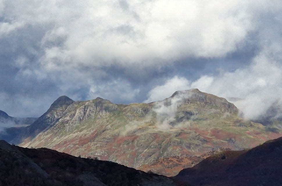 |
| Langdale Pikes close up. |
| |
 |
| Old Close Coppice and Tom Heights taken from the top of Uskdale Gap. |
Two walkers arrived at the top of Uskdale Gap much the same time as I did, one of whom had a map case around their neck. They were both very friendly but I kind of knew what was coming next. "Is Holme Fell around here?" they asked. Head up this grassy bank and bear right; Holme Fell is not to be mistaken by Ivy Crag (with its substantial cairn) over on the left.
They thanked me and as I began my descent, they then shouted, "You came just at the right time" aye I chuckled back. |
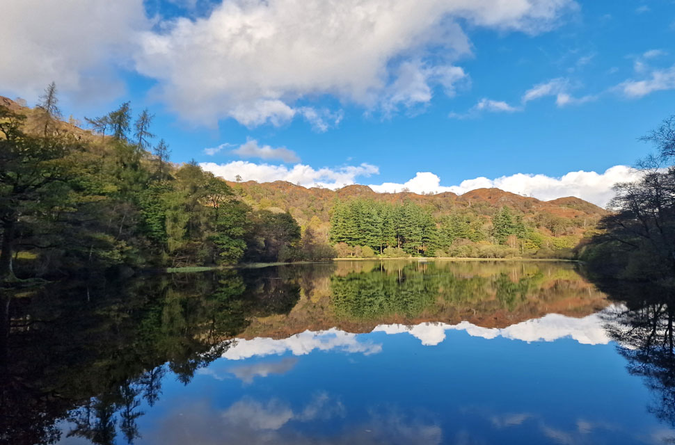 |
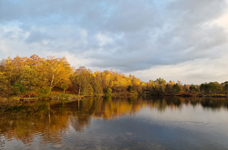
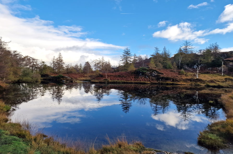
| Reflections, Yew Tree Tarn. |
I continued my descent through Uskdale Gap, which by now getting warmer the further I descend. I pass a young couple, and I share a hi and get an 'arreet' in return. He's definitely from my hometown of Wigan, but I don't question him. Instead, I continue my descent, passing two mates who pull alongside and allow me to pass. They were slightly older than me, but I still thank them with a "thanks, lads" and get a "no worries" in return. Incredibly, the path is loose and dusty underfoot and displayed no signs of this morning's rain. I could hear a group of walkers approaching from the direction of Yew Tree Farm, and judging by the sounds of it, they were a large group.
I reached the base of Uskdale Gap after sighting views of Yew Tree Tarn through the trees minutes earlier and remembering a broken gap in the wall that surrounded the tarn, naively I went for it and got my comeuppance first after tramping through deep bog eyes fixed on the wall, which had been temporally repaired with what looked like a wooden pallet. I tried the pallet for sturdiness; it didn't budge, and I sheepishly committed by throwing my poles over the pallet, followed by my right leg, then left. For a few seconds, I was swarmed with guilt. To save ten minutes of road walking, I had broken the rules, and I urge anyone reading this not to do the same. Yew Tree Tarn now and its mirror finish reflecting white puffy clouds and rough crags. The guilt had left me by now as I am passed by families and their dogs. This reality check was happening too quickly, and I wish I'd stuck to the path and gone the long way around. What a walk, though. |
|
| |
| Back to top |
 |
|