 |
Loughrigg Tarn, Little Langdale & Great Langdale from Elterwater |
 |
 |
4th November 2023 |
 |
|
Two weeks ago, David had intended to walk this route and would have had he not been persuaded to change his mind on reaching the top of Dunmail Raise, from where he could see low clouds looming above Great Langdale. Yes, it's a low-level walk where the cloud wouldn't really affect the walk, but it would affect the views, and this walk has many.
I couldn't help but think that given the time of year and conditions, this had 'David's' name written all over; it's a walk that would have stood proud on Walkthefells home page six years ago, a walk for the rest of us would have taken quite a lot of planning, but not David. It's a walk and many more like it that David used to share, and for that reason alone, I feel quite sad but all of that is water under the bridge.
The good news is that myself and Rod came along, and we enjoyed Little Langdale and Great Langdale to their fullest potential. This walk had it all on a day when there was no need to get high to enjoy the majestic Langdale Pikes when we could view them through all the colours of Autumn. |
|
| Wainwright Guide Books Three & Four |
  |
| The Central & Southern Fells |
| Great Langdale is probably the most frequented valley in the district, with a heavy inflow of visitors Summer and Winter alike. |
 |
|
|
|
| |
|
Overview |
|
|
| Ascent: |
1,873 Feet - 571 Metres |
| Wainwrights: |
N/A |
| Weather: |
A Misty Start Soon Lifting Leaving High Cloud & Patchy Sunshine. Highs of 15°C Lows of 6°C |
| Parking: |
Parking Spaces, Elterwater |
| Area: |
Central & Southern |
| Miles: |
13.4 |
| Walking With: |
David Hall, Rod Hepplewhite & Calva |
| Ordnance Survey: |
OL6 & OL7 |
| Time Taken: |
5 Hours 40 Minutes |
| Route: |
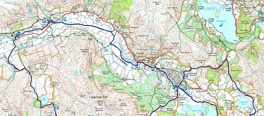
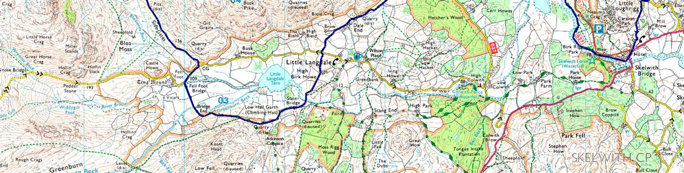
Elterwater - Walthwaite Bottom - High Close - Loughrigg Tarn - Skelwith Bridge - Elter Water - Cumbrian Way - Elterwater - Dale End - Little Langdale - Slater Bridge - Bridge End - Fell Foot - Side Gates Road - Blea Tarn - Side Gates Road - Wall End - Great Langdale - Great Langdale Beck - New Bridge - Stepsend Coppice - Elterwater |
|
| |
|
Parking Details and Map |
|
|
| Nearest Post Code: |
LA22 9HN |
| Grid Reference: |
NY 330 049 |
|
| |
|
Map and Photo Gallery |
|
|
  |
| |
| |
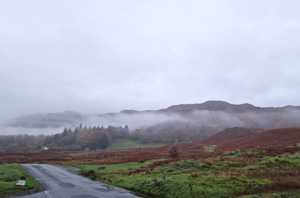 |
| Misty views towards Dow Bank and Chapel Stile taken from the road outside Elterwater 6°C 7:45am |
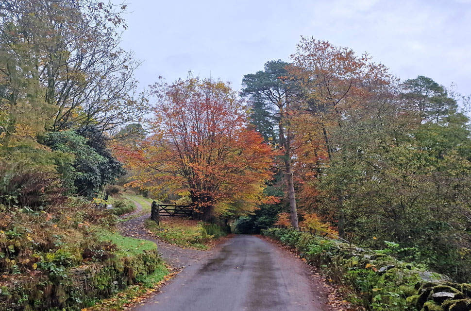
Given the amount of miles we'd be covering today we had arranged to meet after sunrise at 8:15am, and I arrived early to find Rod had already parked up, having beaten his alarm clock to wake at the godly hour of 4:30am. "I was already up," Rod went on to explain, and he didn't see any point in going back to sleep. We had a quick catch-up, and David arrived with Calva and span his car around before parking in front of mine. Within minutes, we were all ready to go, opting for windproof jackets rather than waterproof, which had been packed in our rucksacks minutes earlier.
It was a mild-ish start with a slight nip to the air, no doubt enhanced by the low-lying mist which obscured views in every direction, with the Langdale Pikes completely out of view. With the cars locked, we joined the grassy path leading through the dead bracken over on the right before linking up with Redbank Road bound for High Close and Loughrigg Tarn. |
 |
| Heading for High Close. |
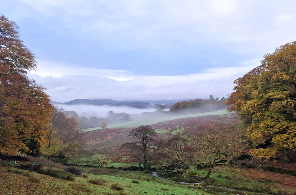
| We joined the grassy track and began our ascent out of Elterwater, turning around to admire the mist, which was ever so slowly beginning to lift. |
 |
| The view towards Black Fell from High Close. |
| We left Redbank Road behind and passed YHA Langdale (High Close) from where we took in the Autumnal misty views towards a distant Park Fell (Black Fell) |
 |
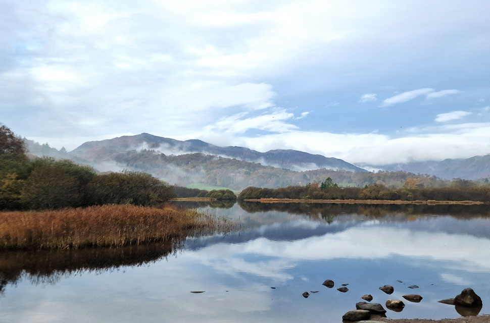
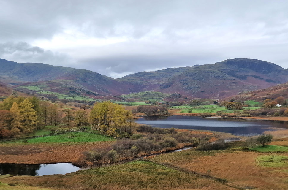
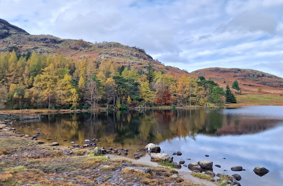
| Loughrigg Tarn. |
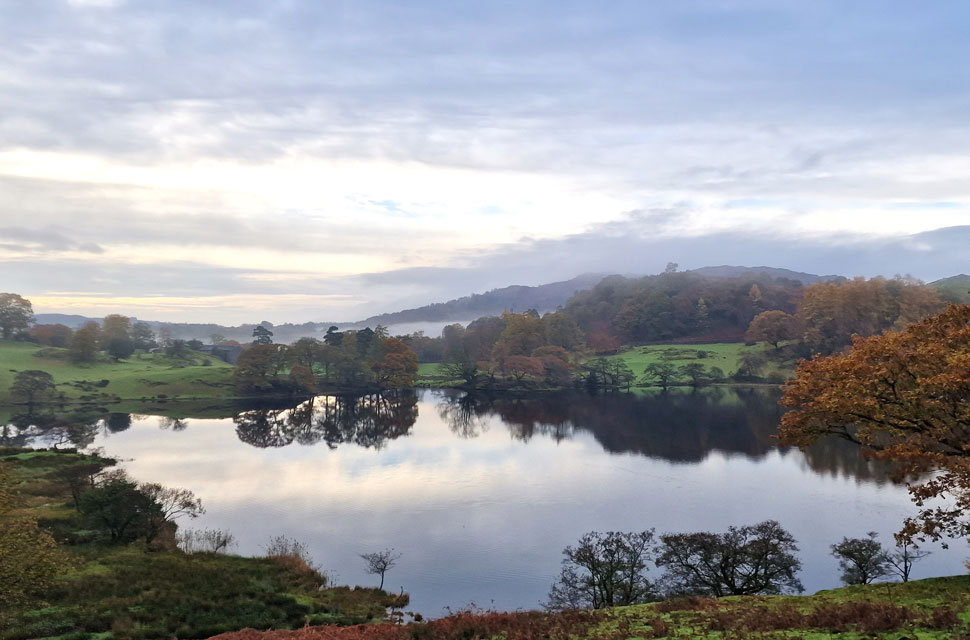
| Through the trees a serene Loughrigg Tarn appeared complete with autumnal reflecltions with just the odd squawk from a Raven or ba'h from a sheep breaking the silence. |
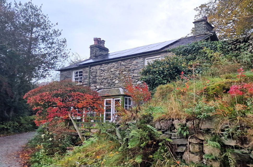 |
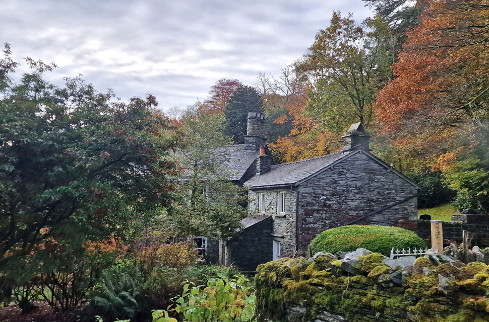
| Dillygart Cottage/Tarn Foot. |
| We left the silence of Loughrigg Tarn behind before passing this delightful cottage complete with modern solar panels as we joined Foulstep bound for Skelwith Bridge. |
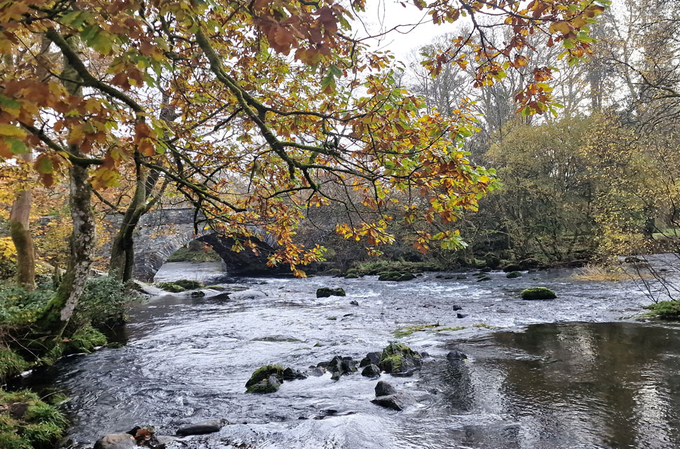 |
| River Brathay at Skelwith Bridge. |
| We re-joined civialisation at Skelwith Bridge before passing Chesters by the River restaurant and continued to follow the Brathay passing Skelwith Force which was heard well before seen, sadly there was too many tree branches for a proper photo. |
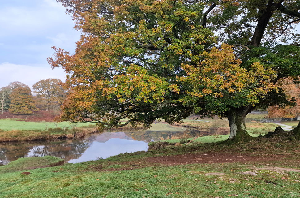 |
| The River Brathey prior to reaching Elter Water. |
| We left Skelwith Force behind and joined the Cumbrian Way as we passed through Elter Water where we were treated to more Autumnal views flanked by a very calm River Brathey. |
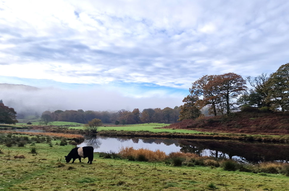 |
| Belted Galway, Elter Water. |
| |
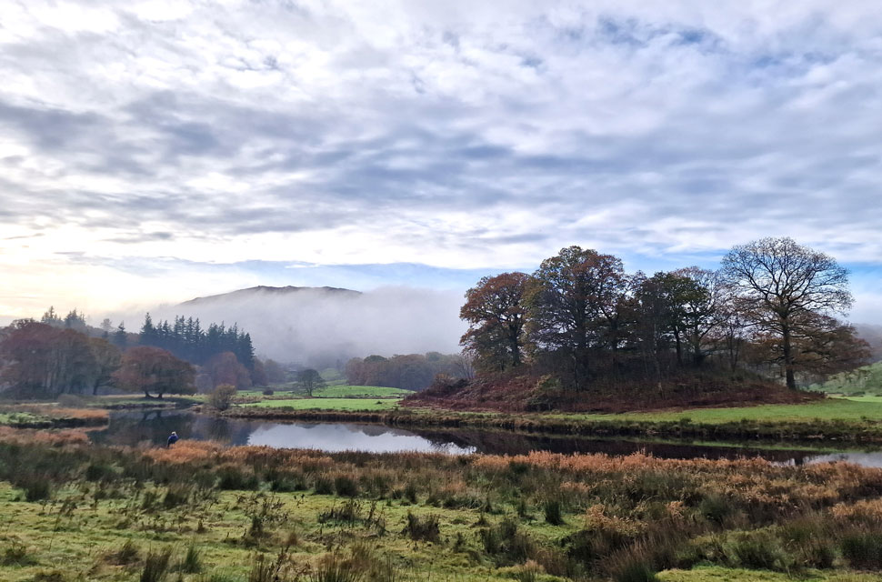 |
| Park Fell on Black Fell from Elter Water. |
| Mist was still lying low in the valleys and it even looked like we might see more sunshine but sadly we realised we were walking away from any brightness and into patchy cloud. |
 |
| Lingmoor Fell from Elter Water. |
| We'll be over that way soon. |
 |
| Elterwater Hall. |
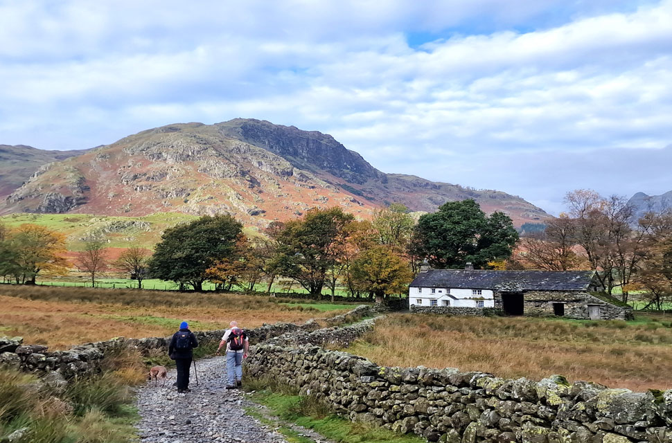
We continued on the Cumbrian Way as we edged our way towards the village of Elterwater, where, over the fields our cars appeared. The path was now busy with dog walkers as we entered the village where we were forced to cut through a large group of walkers who were posing in the middle of the road for photos. |
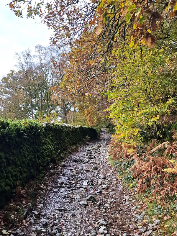 |
| Owlet's Nest (road) |
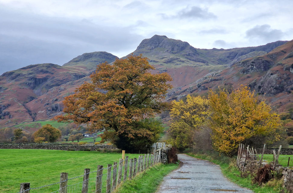
| Is the name given to the unpathed road that links Elterwater with Little Langdale. David had read that sometime during the 1930's a motorist had driven over this route, and stated that his motorcar required a new set of tyres afterwards. To this day the Elterwater section is still very rough underfoot. |
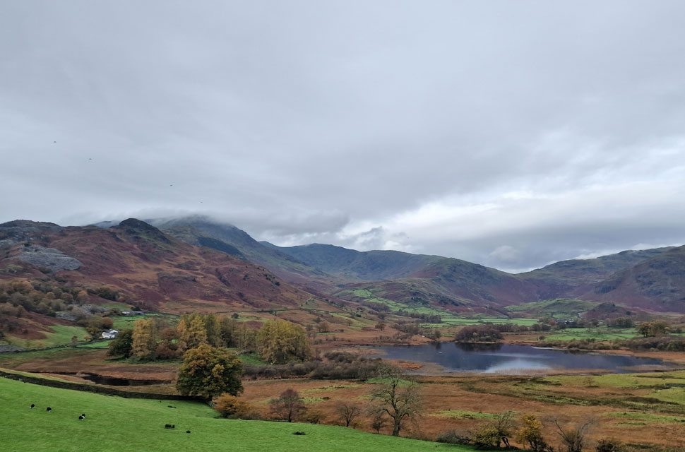 |
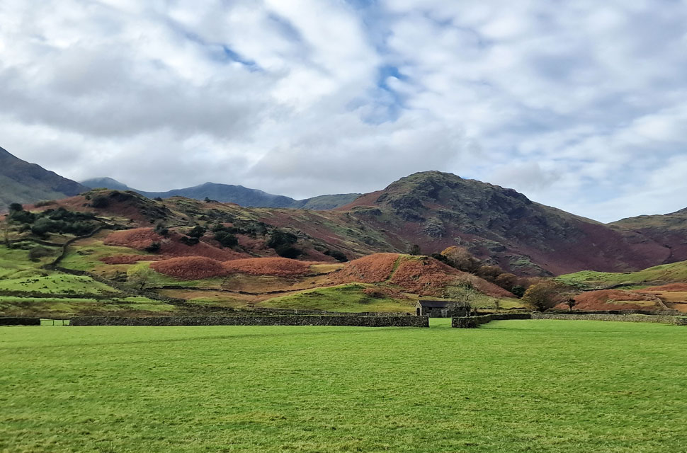
| Little Langdale Tarn, Birk Fell, Wetherlam, Swirl How, Great Carrs and Wet Side Edge from Little Langdale. |
| We pushed into Little Langdale before being passed by half a dozen LHD Norwegian Landrovers around the vicinity of Dale End Farm, who we watched make their way towards Tilberthwaite before Little Langdale returned to silence. The stronger walkers from the walking group we'd passed at Elterwater were also on our tails and, like us, stopped just above Slater Bridge to take in these impressive views of Little Langdale. |
 |
| Greenburn, Wet Side Edge, the top of Wrynose Pass, Wrynose Fell and Little Langdale Tarn. |
| |
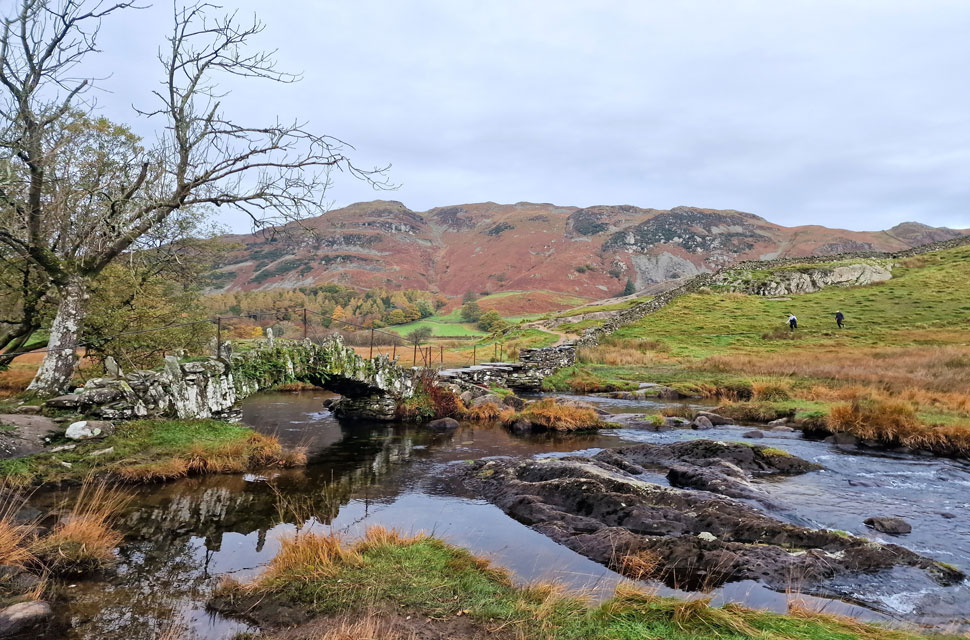 |
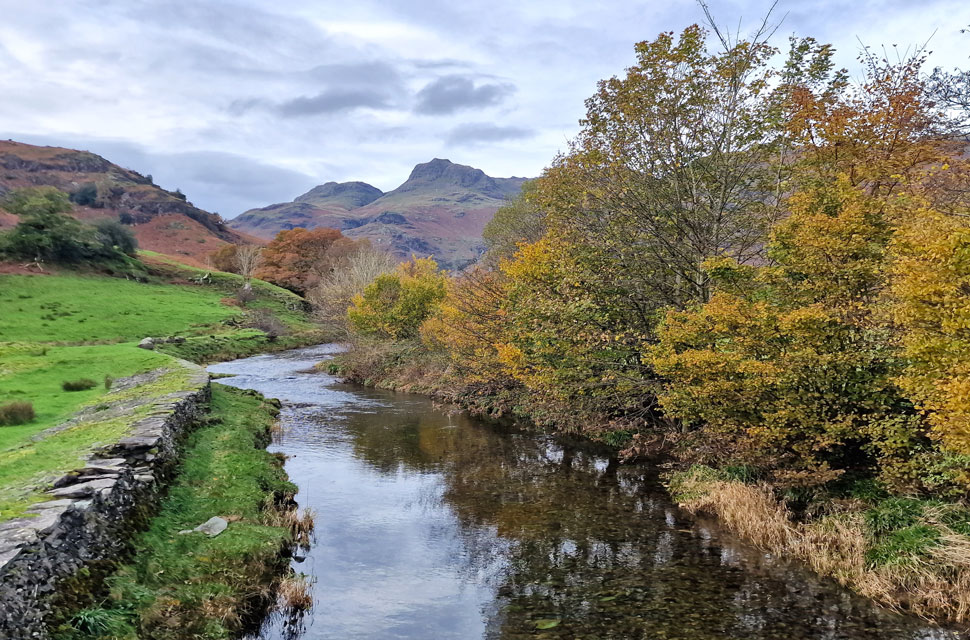
| Lingmoor Fell from Slater Bridge. |
| The large walking group had re-gathered just beyond the wall as we made our way down to a deserted Slater Bridge. It was the first time in years all three of us had Slater Bridge to ourselves before being joined by two walkers by which time views had been admired and photographs taken. |
 |
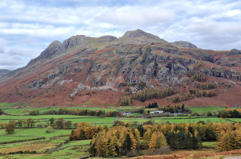
| The Langdale Pikes |
| Framed by Wrynose Fell to the left and Lingmoor Fell to the right. |
 |
| Descending towards Bridge End. |
| The off-roaders made a second appearance this time having descended the rough track from Tilberthwaite and despite the noise they were courteous stopping for walkers and closing gates behind them. |
 |
| Blake Rigg on Wrynose Fell from Bridge End. |
| Notice how the sun has come out and with it David losses several layers. |
 |
| Swirl How, Great Carrs and Wet Side Edge from Bridge End. |
| Lovely autumn sunshine now. |
 |
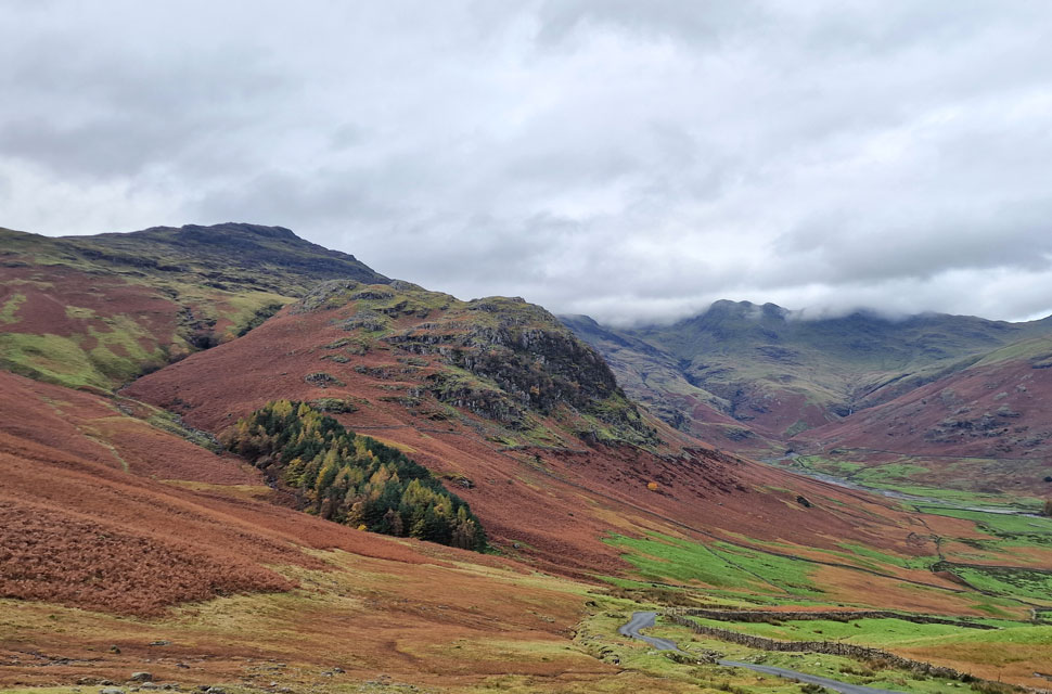
| The Langdale Pikes from Side Gates Road. |
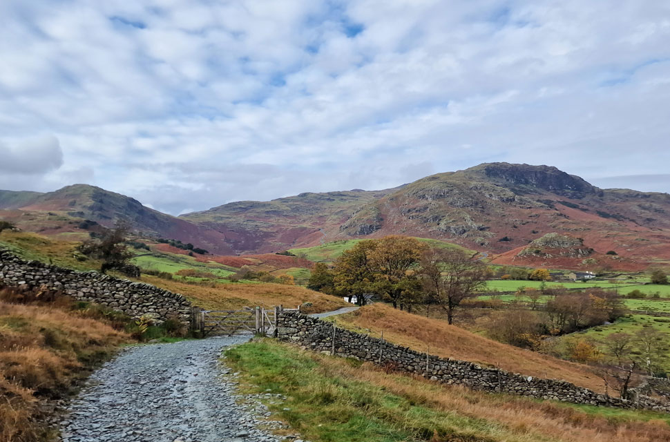
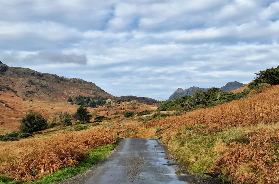
We left Bridge End and took in the views beyond Fell Foot Farm and the top of Wrynose Pass before joining Side Gates Road and didn't encounter any traffic until a van coming from the Great Langdale side caused a bit of jam by not wanting to pass a car from the Little Langdale Side who had stopped at a passing place, the van reversed slowly almost out of sight until we had caught up with the driver by which time more cars were queueing behind the car who was still waiting at the passing point.
I asked the driver to wind his passenger window down and explained that the car was waiting for him to pass at which point a good five minutes had now passed. Moving on ... the traffic finally passed us before we ascended the steep road section towards the car park from where we hooked a left towards Blea Tarn. |
 |
| Rake Rigg from Blea Tarn. |
| Thankfully, the sun was still shining but for how long we were uncertain as a high-level cloud took over. |
 |
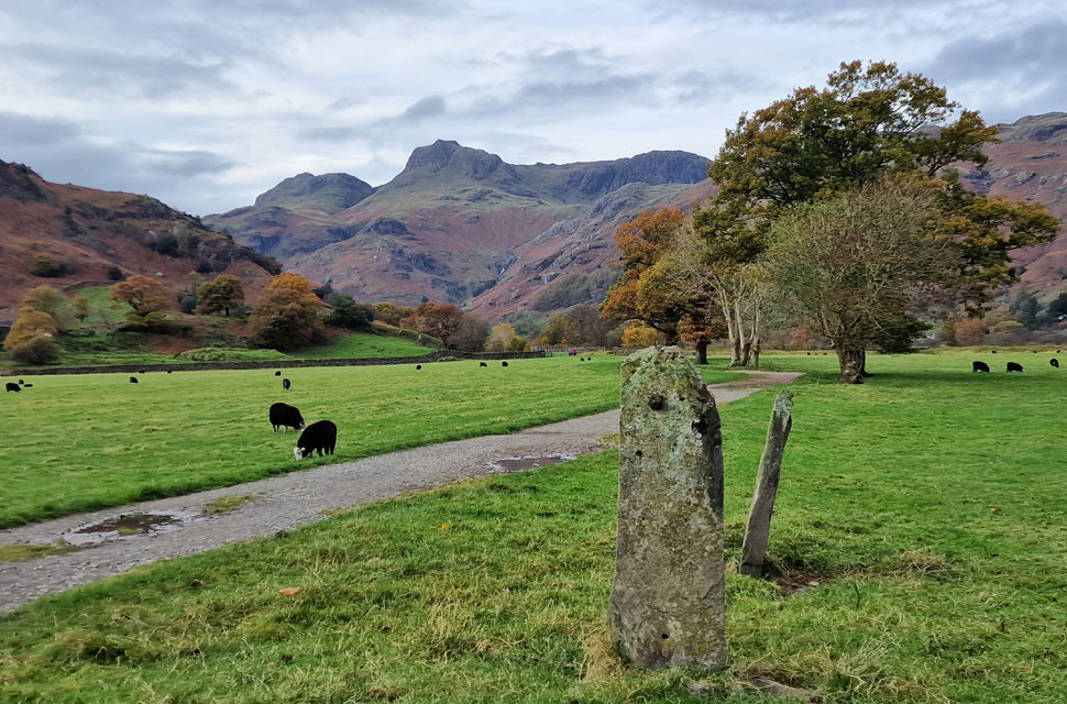
| Side Pike and the Langdale Pikes from Blea Tarn. |
| It was lovely and quiet at Blea Tarn from where we took in the classic views of the Langdale Pikes before heading into the woodland over on the left. |
 |
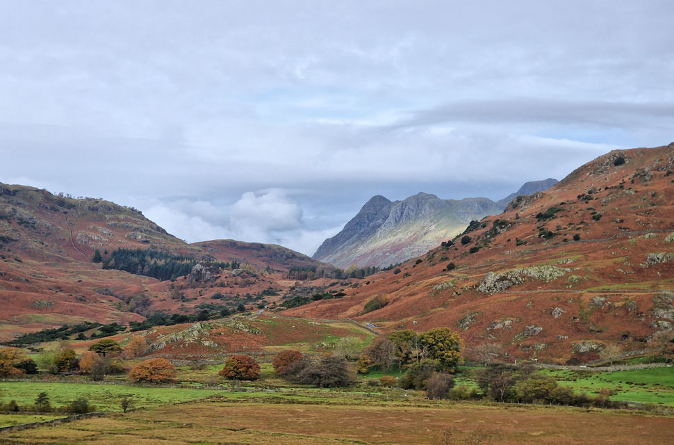
| Pike O'Blisco, Kettle Crag, Oxendale and Crinkle Crags. |
| The path on the west side of Blea Tarn was busier than the tarn itself passing more walkers and fell runners all under the watchful gaze of Side Pike flanked to our right. We soon reached the top of Side Gates Road from where the views into Great Langdale opened out. |
 |
| The Band, Bow Fell, Rossett Pike, Pike O'Stickle, Loft Crag and Mickleden. |
Seen as we make our descent into Great Langdale. That's Esk Pike beyond the top of Rossett Gill which up until a view moments ago had been enjoying some sunshine. |
 |
| Pike O'Stickle, Loft Crag. Gimmer Crag, Harrison Stickle, Pavey Ark and Pike Howe. |
| That's Old Dungeon Ghyll below which is where we're heading next. |
 |
| Raven Crag above Old Dungeon Ghyll. |
| It wasnt quite lunch but close enough as we headed through Great Langdale campsite where we spotted an empty bench and cheekily, broke out lunch and refuelled ready for the long walk back through Great Langdale. |
 |
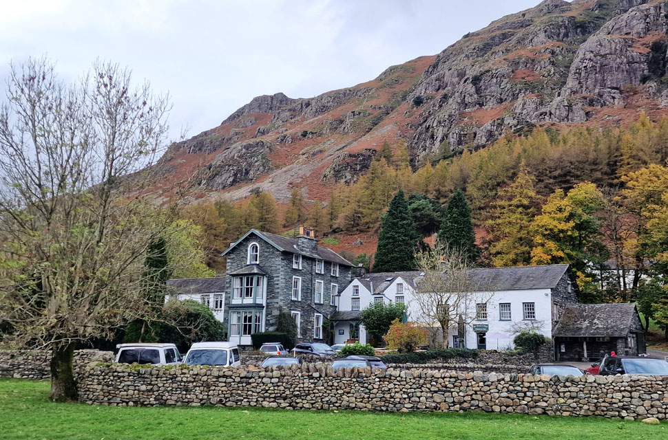
| New Dungeon Ghyll Hotel. |
| We passed through the gate opposite ODG and joined the grassy path flanked by Great Langdale Beck to our right before arriving at NDG where we passed through tables of visitors and their dogs then linked back up with the Cumbrian Way beyond NDG car park. |
 |
| Loft Crag and Harrison Stickle from the Cumbrian Way, Great Langdale. |
| We left the hustle of NDG and its car park behind and joined the Cumbrian Way for a lovely three mile walk back to Elterwater. |
 |
| Loft Crag and Harrison Stickle from Great Langdale Beck. |
| We continued to follow the Cumbrian Way which passes over Great Langdale Beck via a new wooden footbridge, the old one sadly had just been left to the side. |
 |
| Loft Crag, Harrison Stickle and Pavey Ark. |
| Taken from the Cumbrian Way, Great Langdale. |
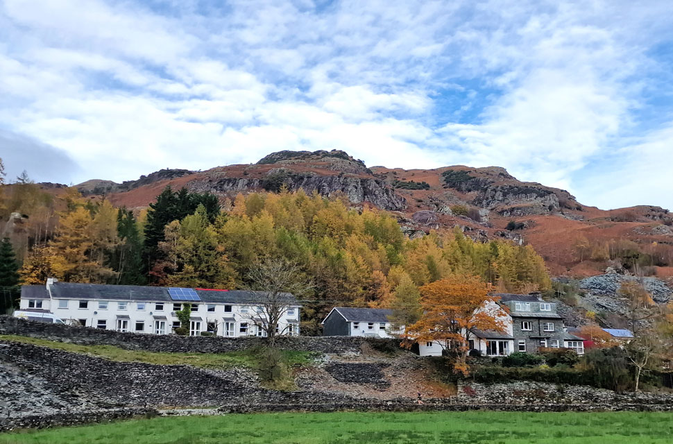 |
| Thrang Crag above Chapel Stile. |
| Seen as we cross Great Langdale Beck at New Bridge. |
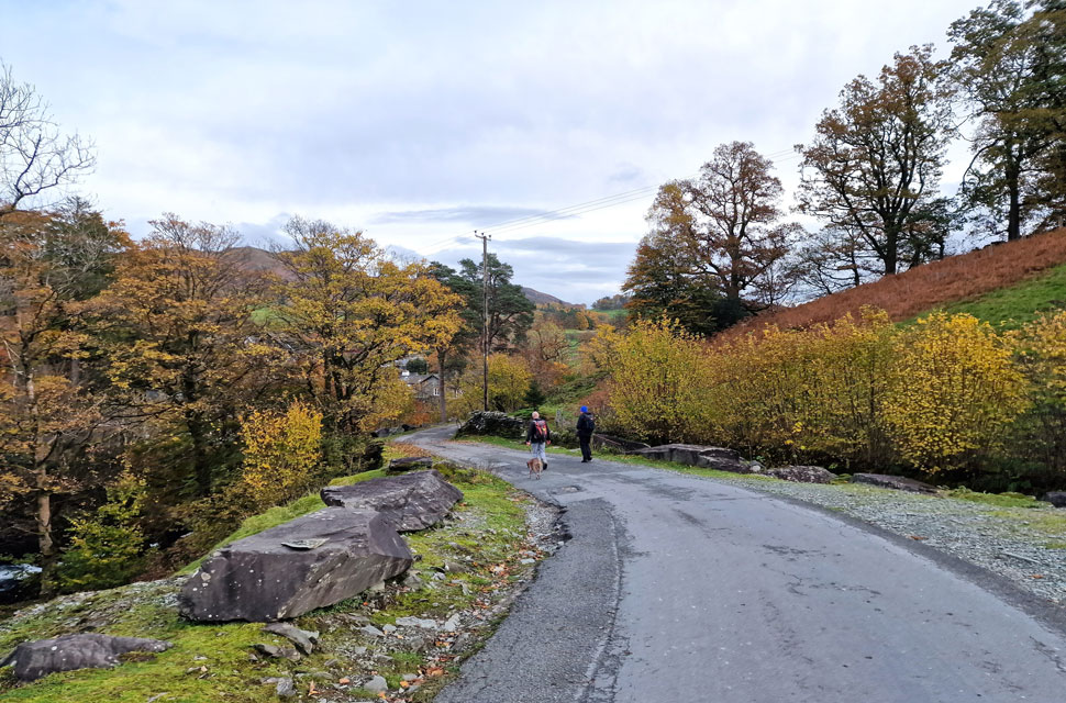 |
| Descending back into Elterwater. |
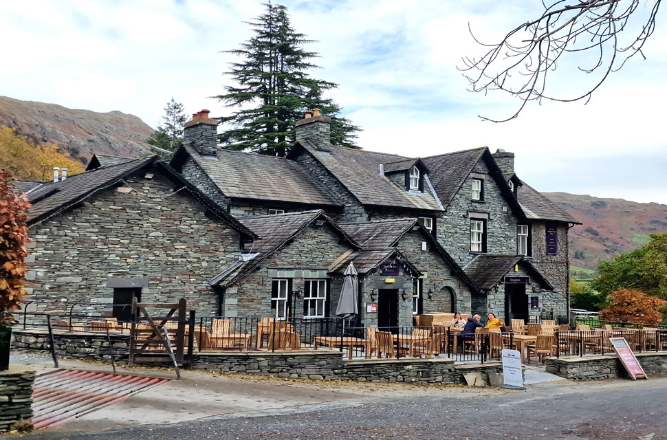
Despite covering less than 2,000 feet of ascent, feet were begining to ache, although we all agreed, none of us felt truly exerted by the walk. When David last completed this walk, it had taken him roughly six hours, and it looked like we might beat David's previous time by around twenty minutes. We passed over New Bridge with the hamlet of Chapel Stile beyond, with only the odd car making its way into Great Langdale, the road looked eerily quiet. Continuing on, we followed the path until it led us briefly back onto B5343, where we passed Wainwrights Inn, just two couples enjoying the beer garden, before we joined the path at its rear, where we crossed Great Langdale Beck for the last time.
The beck roared below as we followed the tarmac lane back into a bustling Elterwater. The Britannia Inn looked full to bursting as people ate and drank in the beer garden under the canopy of the famous Maple Tree. Cameras were held back as we forked right, passing Wheelwights Holiday Cottages moments after our cars came into view. With the cars reached, it was time to ease off our boots, which I did while sitting at a nearby metal bench. I took in the views of the Langdale Pikes, a view that, due to mist, we had missed earlier, while feeling utter contempt that we'd all seen as much of this corner of Lakeland as our boots would take us. |
|
| |
| Back to top |
 |
|
