|
High Rigg & St John's-in-the-Vale from Castlerigg Stone Circle |
 |
 |
23rd December 2023 |
 |
|
It was the 4th November since the trio were last together, mainly due to my work, and of course, the terrible weather that not just the North West but the whole of the UK is experiencing at the moment, when it just seems to be storm after storm. I really am hoping that this weather will soon be replaced by colder air, winter sunshine, and hopefully more snow.
I'm kind of glad I got to climb Helvellyn a couple of weeks ago, which is what we should have been doing today had it not been for the high winds that are keeping us fell walkers off the higher summits. It's been a week of 60mph winds above 2,500 feet, sometimes much less than that elevation.
By Wednesday, we sort of had an idea of what the forecast was doing for Saturday. Yeah, you've guessed it more doom and gloom with the winds continuing to keep us off the fells, so I suggested High Rigg, and David replied with this cracker of a route that originally we had intended to walk the other way around, but owing to the south westerly wind direction, we agreed to walk through St. John's-in-the-Vale first, which meant we'd have the wind on our backs as we crossed over High Rigg on the outward. I wouldn't have blamed anyone for not setting foot on the fells today, but it's Christmas and I'd missed the guys. |
|
| Wainwright Guide Book Three |
 |
| The Central Fells |
| The valley running north from Dunmail Raise, and containing Thirlmere, is suddenly confronted by a steep abrupt fell just at that final stage in its course when, with the highest hills left behind, it might reasonably be expected to go on more leisurely, as is the fashion with valleys born amongst mountains. |
 |
|
|
|
| |
|
Overview |
|
|
| Ascent: |
1,657 Feet - 505 Metres |
| Wainwrights: |
High Rigg |
| Visiting: |
2, Low Rigg - Wren Crag |
| Weather: |
Cloudy, Blustery & Windy. Highs of 10°C Lows of 8°C Feels Like °C |
| Parking: |
Roadside Parking, Castlerigg Stone Circle |
| Area: |
Central |
| Miles: |
8.7 |
| Walking With: |
David Hall & Rod Hepplewhite |
| Ordnance Survey: |
OL4 / OL5 |
| Time Taken: |
4 Hours 40 Minutes |
| Route: |
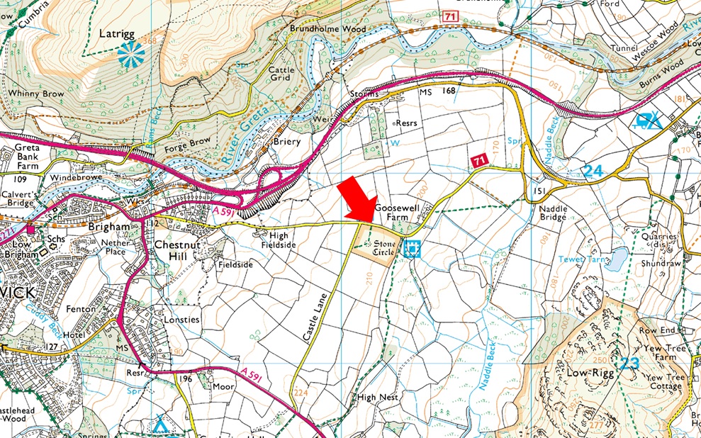
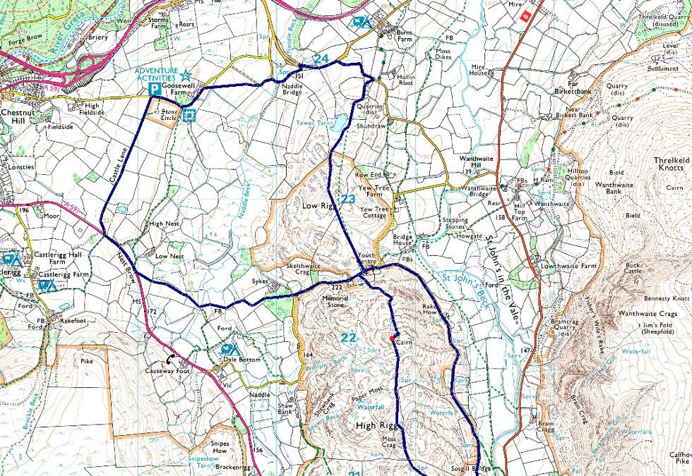
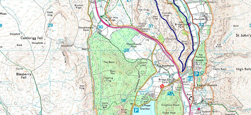
Castlerigg Stone Circle - Naddle Bridge - Tewet Tarn - Low Rigg - St John's Church - St John's-in-the-Vale - Turnip Corner - Wren Crag - High Rigg - St John's Church - Sykes Farm - Low Nest Farm - Nest Brow - Castle Lane - Castlerigg Stone Circle |
|
| |
|
Parking Details and Map |
|
|
| Nearest Post Code: |
CA12 4RN |
| Grid Reference: |
NY 291 523 |
|
| |
|
Map and Photo Gallery |
|
|
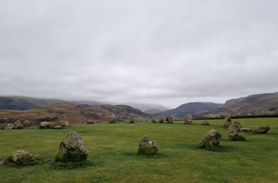 |
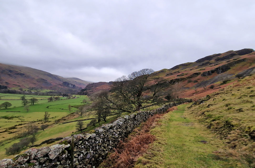
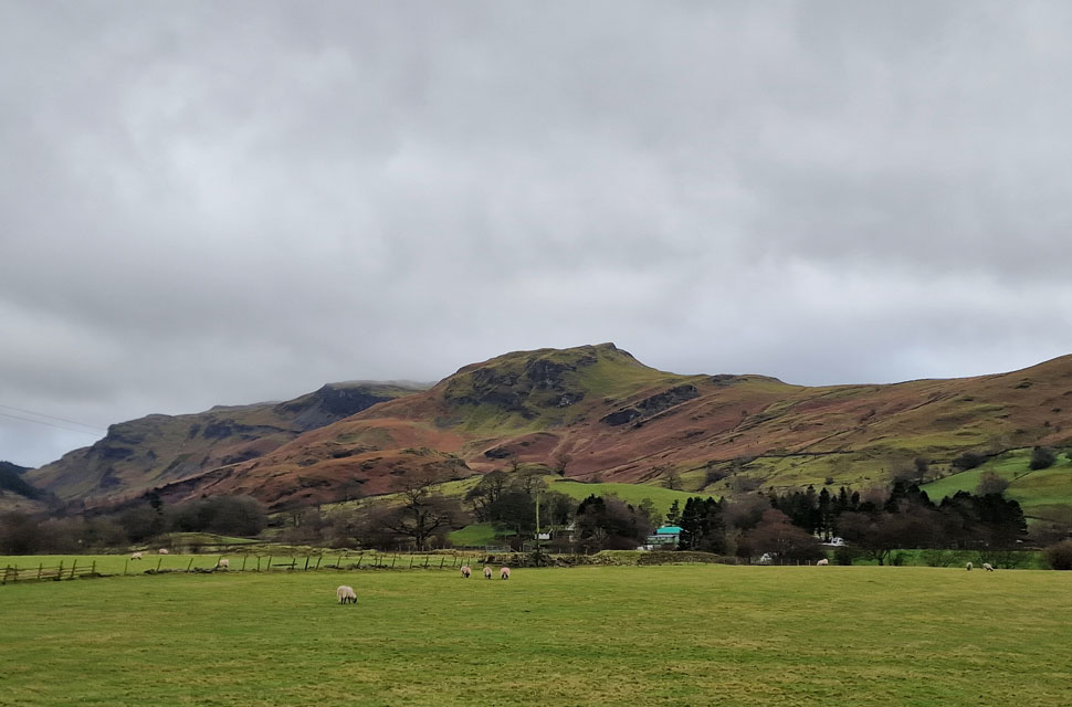
| High Rigg from Castlerigg Stone Circle 9:00am 8°C |
| We had arranged to meet at a slightly later time of 8:45 am for a 9:00 am start to allow dawn to arise and an extra hour in bed. David and Rod were already parked up in the parking spaces opposite the stone circle, and from the moment I opened the door, I knew we were in for a blustery day. I went over to pass on a quick hi to find David and Rod who were depating about adding waterproofs, but given that we'd all driven through rain within the last ten minutes, we all settled on waterproof over trousers and jackets. Despite the howling wind, it was quite mild but for Rod and me, hats and gloves were added anyway. With the cars locked, we passed through the gate to find we had the stone circle to ourselves and took our respective photos before returning via the far gate bound for Goosewell Farm and Naddle Bridge. |
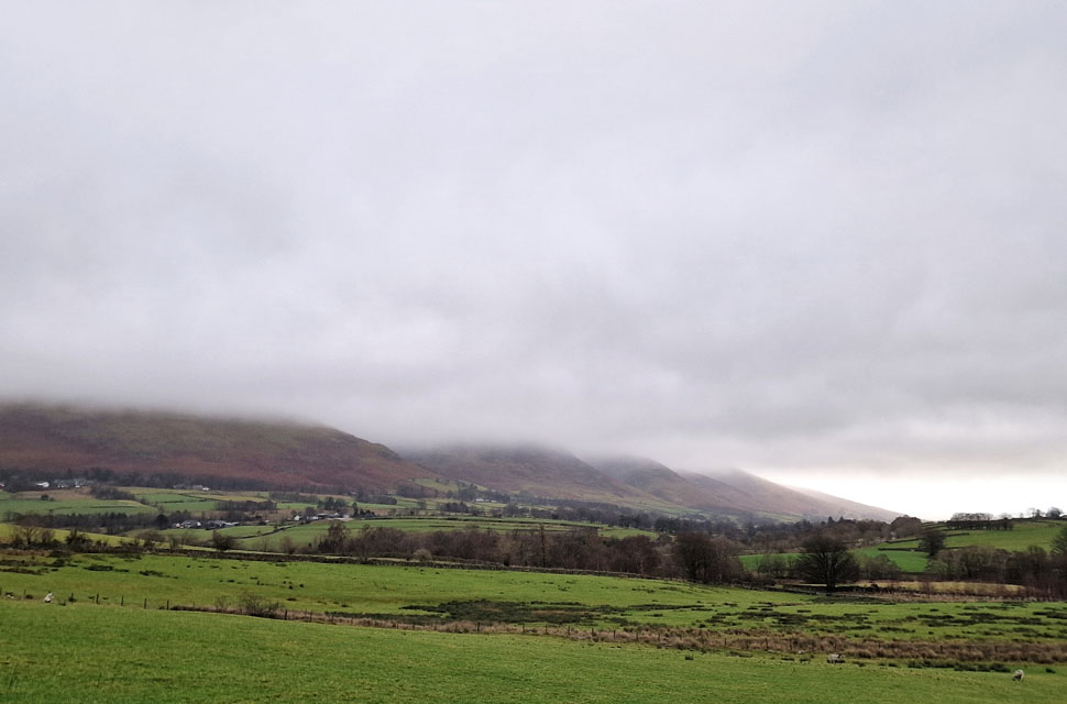 |
| Blease Fell and Blencathra under low cloud. |
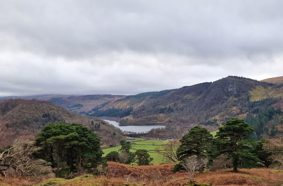
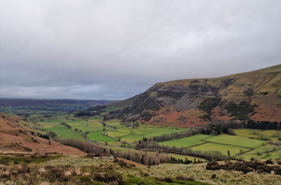
| With Goosewell Farm reached, we passed through a metal gate onto a field of grazing sheep, from where we took in the view towards Blencathra, whose lower ridges were only just visible below the low cloud. |
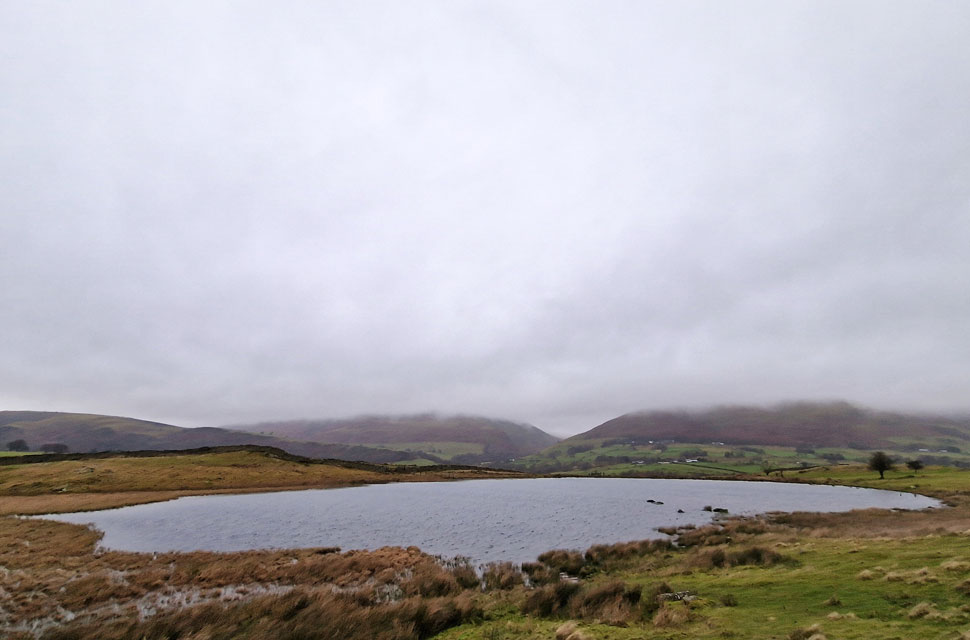 |
| Latrigg, Lonscale Fell and Blease Fell from Tewit Tarn. |
| We left a very soggy field behind and crossed Naddle Bridge, where we passed a couple of dog walkers before continuing a little further until we reached the signpost for Tewit Tarn and St. John's Church. It had been some time since all three of us were last here, and given what an idyllic spot this is, it was such a shame that we were missing out on the views. |
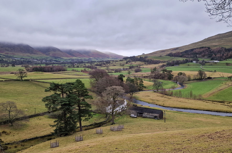 |
| Bridge House Farm and St John's Beck from footpath on the Eastern flank of High Rigg. |
| The decission to walk the walk in the opposite direction was made as we crossed Low Rigg where we walking headlong into the wind. Once St John's Church was reached we left the tarmac lane instantly picking up the footpath which will take us through St John's-in-the-Vale via the eastern flank of High Rigg. |
 |
| St John's-in-the-Vale. |
| Twigs and fallen branches initially littered the footpath which we had brushed aside as we passed through. The wind had eased as we dropped down to valley level leaving the walk through St-John's-in-the-Vale utterly peaceful with the exception of a farmer on his quad bike who was somewhere behind us. |
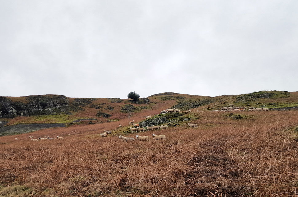 |
| A herd of shape gaze at two on-coming sheep dogs. |
| The farmer eventually caught us up and passed with a morning nod as we stepped aside to let his quad through. A little further up the path, the farmer then instructed his two dogs up onto the fell side to gather the sheep, who were looking curiously on. |
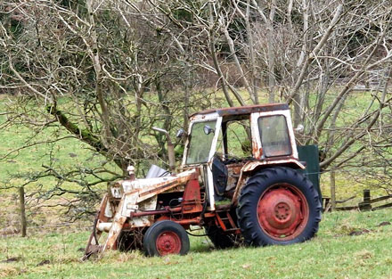 |
| Retired 1977 David Brown tractor, Low Bridge End Farm. |
|
|
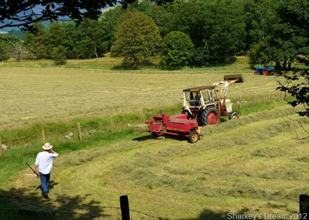 |
| The very same tractor at work taken 11th August 2012 |
|
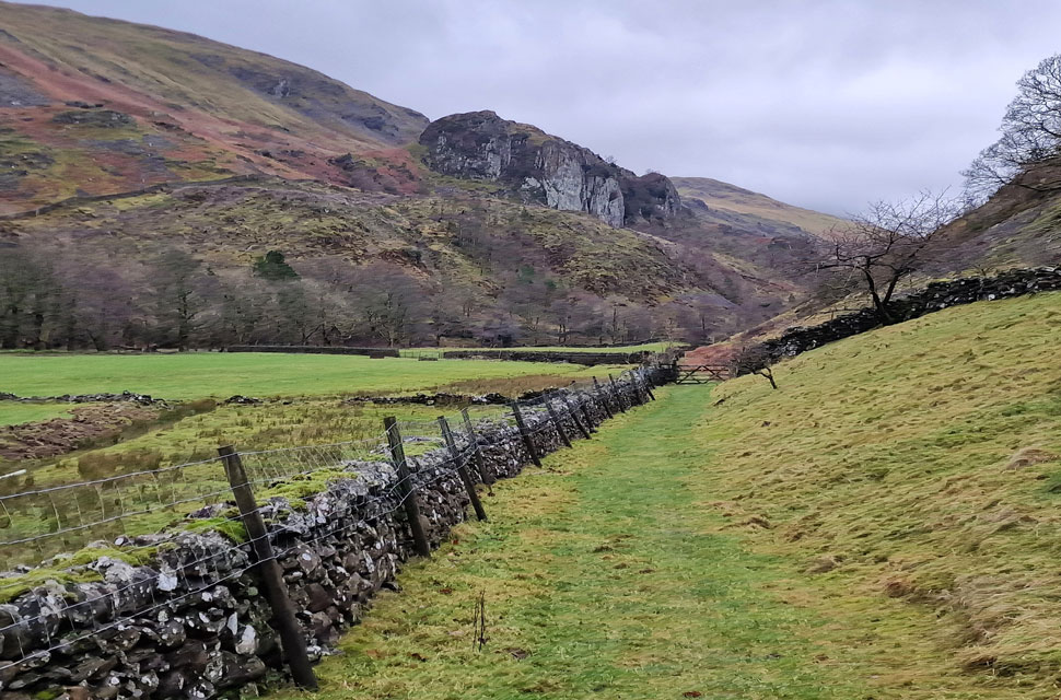 |
| Castle Rock comes into view. |
| My apologies over the fuzzy images I was using my mobile phone today and I'm not sure what caused the images to turn out all fuzzy which was such a shame as I've had to leave quite a few photos out. |
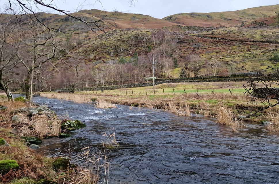 |
| St John's Beck. |
| Looking quite full I might add. |
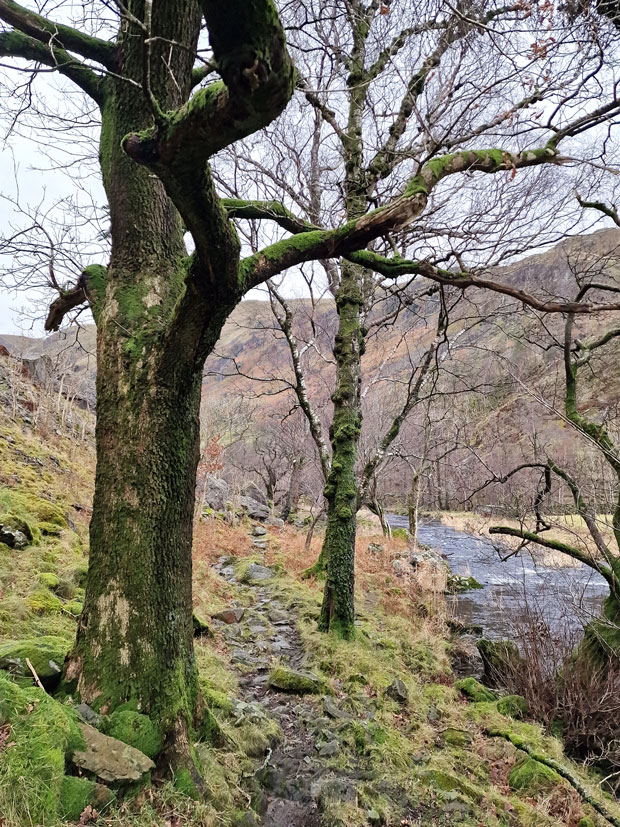 |
| David stops and recalls the story of this tree. |
| Along the river bank David stopped and using his walking pole pointed up and the branch while recalling the day he walked through here a few weeks after the storm of December 2015 where he found debris in the lower branches of this tree, to think how high the water had risen is unimaginable but it actually happened flooding local residence including Low Bridge End Farm. |
 |
| Stybarrow Dodd, Great How and Bridge End Farm (right) from our ascent on High Rigg. |
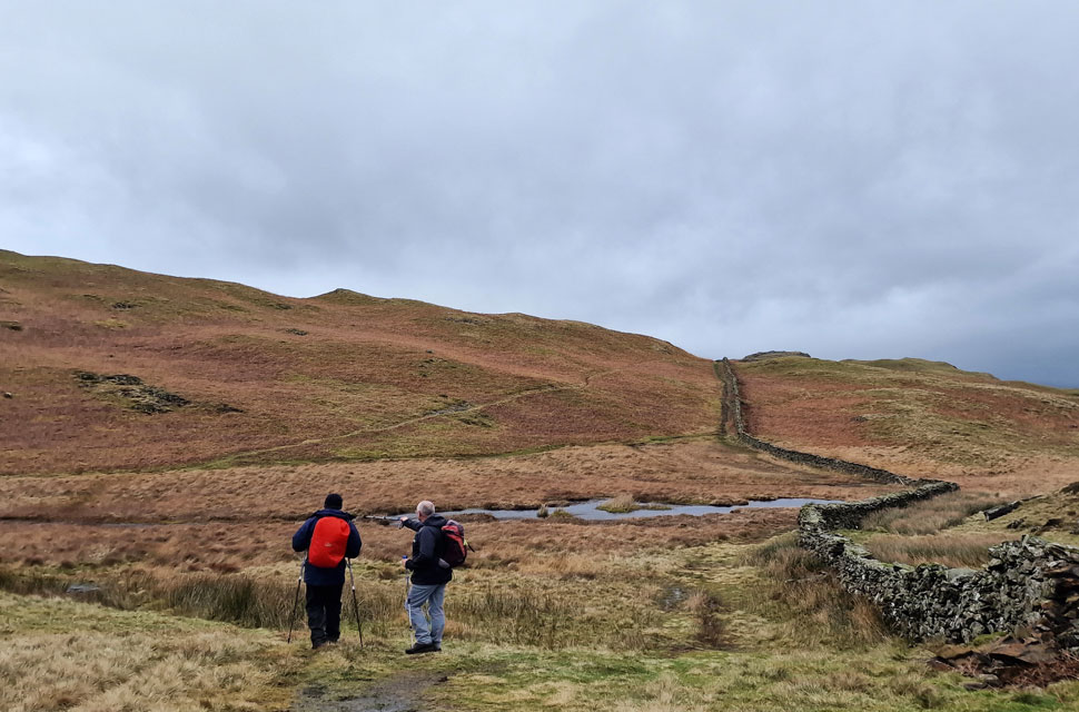
| From St John's Beck the path rises steeply below Wren Crag before rounding on the southern tip of High Rigg where we began our ascent Further up the path we stopped to take in the views while watching the cloud scuttle across the sky "wouldnt like to be anywhere near Helvellyn" we all agreed. |
 |
| A similar view looking souther westerly. |
| Here taking in Great Gow, Racen Crag, Fisher Crag and Thirlmere. |
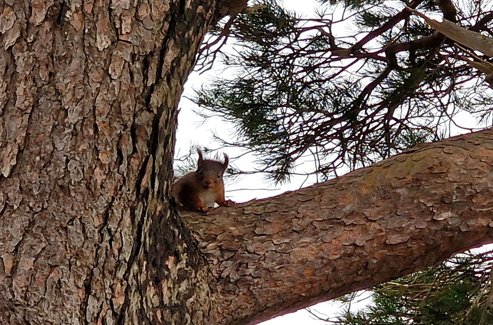 |
| Red Squirrel. |
| As we were just about to crest the main ridge this red Squirrel ran in front of David then darted up the nearest tree before pausing to look back on us. I'm sure you would agree the cheeky little beggar looks like its smiling! |
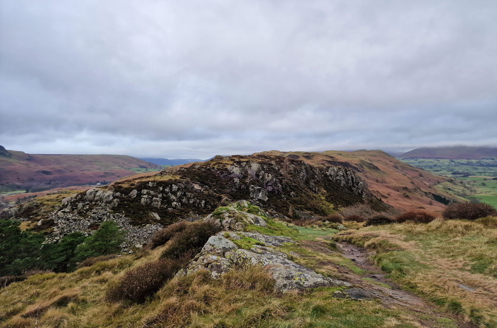 |
| Long Band and High Rigg from Wren Crag. |
| As you can see High Rigg isn't just one long ridge its full of up and downy bits just like the depression between Wren Crag and Long Band ahead. |
 |
| Lost in thought. |
| High Rigg now ahead. |
 |
| Bam Crag, Clough Head and St John's-in-the-Vale from High Rigg. |
| The cloud hasn't shifted from Blencathra all morning while the Dodd ridge over on the right is mostly clear. |
 |
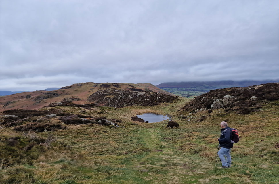
| Around the boggy bits. |
| And the up and downy bits. |
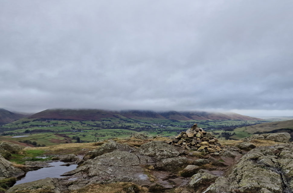 |
| Blencathra from High Rigg summit. |
| With the exception of the farmer we hadn't seen anyone all morning that was until we passed a solo lady walker walking the ridge north to south then as we approached the summit and large family and their dogs were just descending meaning at least we had a very blustery summit to ourselves before a second group began their approach also from the north. |
 |
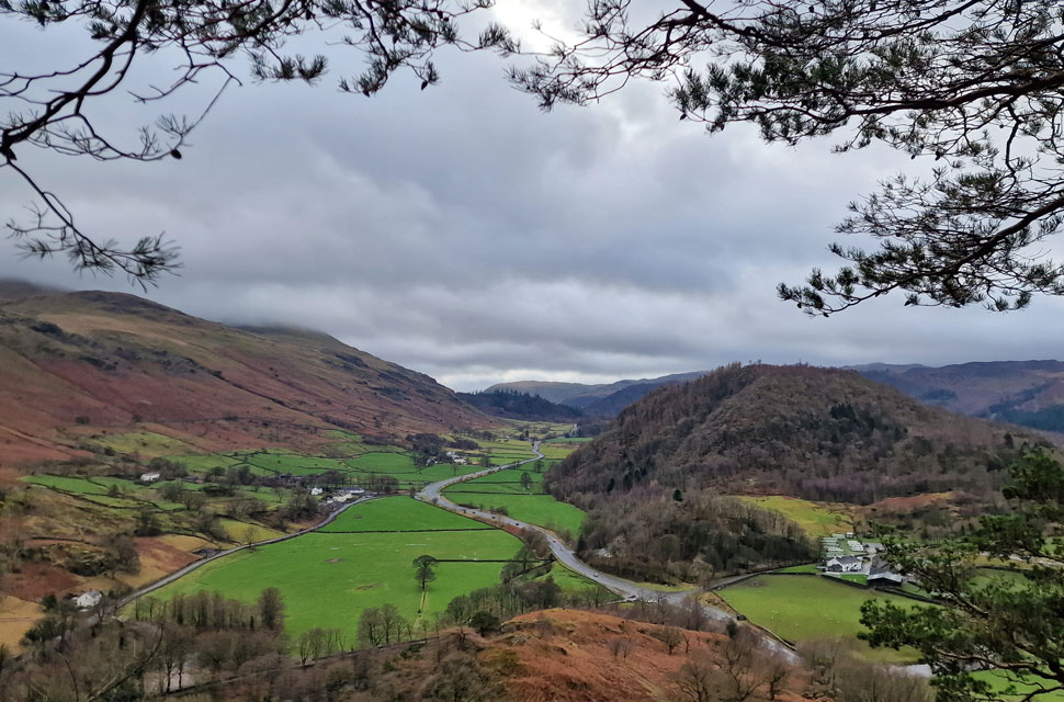
| A distant Walla Crag comes into view. |
| As we begin our descent towards Sykes Farm seen left from where we will pass through the fields roughly in the direction of Low Nest Farm seen upper right from where we'll join the A591 at Nest Brow. |
 |
| Dodd Crag and Goat Crag |
| Bleaberry Fell can be found beyond both Dodd Crag steep cliffs of Goat Crag. |
 |
| High Rigg from Dale End. |
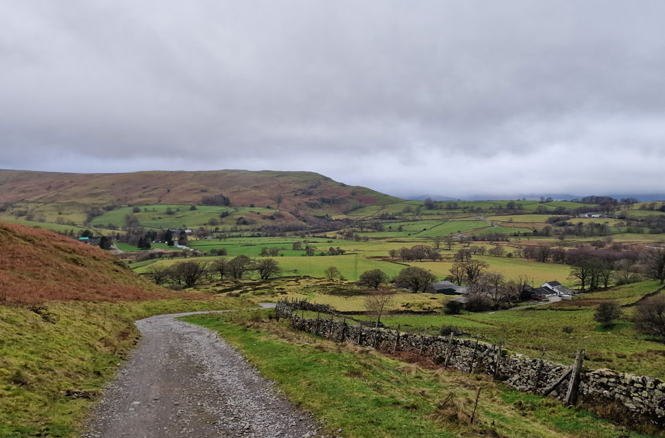
We descended the lane from St John's Church and passed Sykes Farm to our right before continuing through sodden fields flanked by grazing sheep on both sides. The skies had darkened, and it felt much later than 12:30pm in the afternoon as daylight faded. Spots of rain were in the air, and by the time we had reached the top of Nest Brow, rain clouds were unleashing curtains of rain over the northwestern fells. In some cases, the cloud was so low it was almost at ground level, and I pitted anyone on the Lord's Seat fells at that precise moment.
Water drained along the A591, which we used to swill our boots as best we could before joining Castle Lane for the short walk back to the stone circle. It was along here that we spoke of 'the year's best walks; two of which we all agreed on were the Ramps Gill Valley walk and our tour of the High Street fells from Hartsop back in October. Our cars were soon reached, and we each began our kit-downs, easing muddied waterproofs off along with hats and gloves. We are very certain today's walk wasn't the last of 2023, but if it were, what better way to spend a grey day than with friends on much-loved hills. |
|
| |
| Back to top |
 |
|