|
Stonycroft Gill Round |
 |
 |
Overview |
 |
|
| Ascent: |
2,211 Feet - 673 Metres |
| Wainwrights: |
3, Causey Pike - Outerside - Barrow |
| Visiting: |
2, Rowling End - Stile End |
| Weather: |
Light Rain & Snow Flurries To Start Turning Brighter PM. Highs of 3°C Lows of 3°C Feels Like -5°C |
| Parking: |
Parking Spaces, Newlands Pass, Outside Stair |
| Area: |
North Western |
| Miles: |
5.5 |
| Walking With: |
On My Own |
| Ordnance Survey: |
OL4 |
| Time Taken: |
3 Hours 30 Minutes |
| Route: |
Stair - Rowling End - Sleet Hause - Causey Pike - High Moss - Outerside - Low Moss - Stile End - Barrow Door - Barrow - Newlands Pass - Stair |
|
| |
|
Parking Details and Map |
|
|
| Nearest Post Code: |
CA12 5UF |
| Grid Reference: |
NY232 821 (Uzzicar Farm) - NY 233 021 (Stonycroft Gill) |
| Notes: |
There are a couple of parking spaces along the Newlands Valley between Uzzicar and Stair the first one is found just past Uzzicar Farm (if approaching from Braithwaite) on the left hand side, here you find ample parking with room for around ten cars with further spaces found just after the bridge over Stonycroft Gill but these spaces are sparse with room for just one or two cars. Parking at both sites is free. |
|
| |
|
Map and Photo Gallery |
|
|
 |
| |
| |
 |
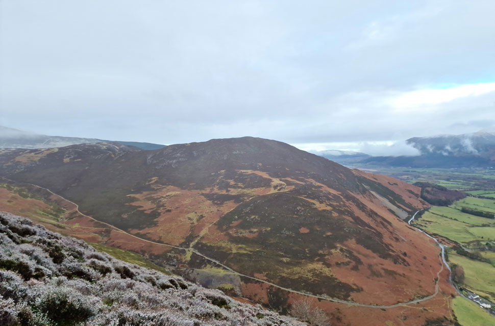
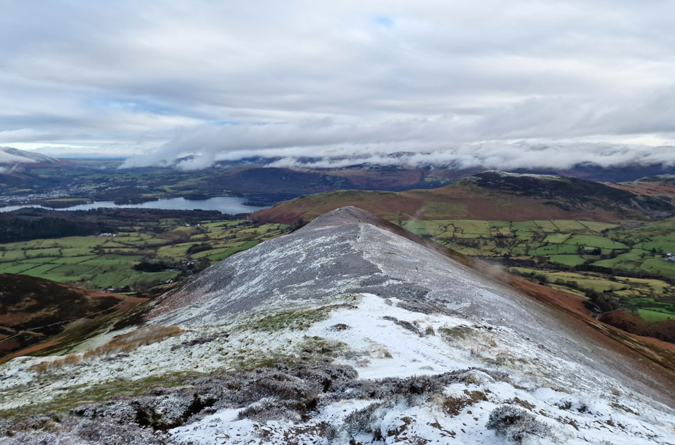
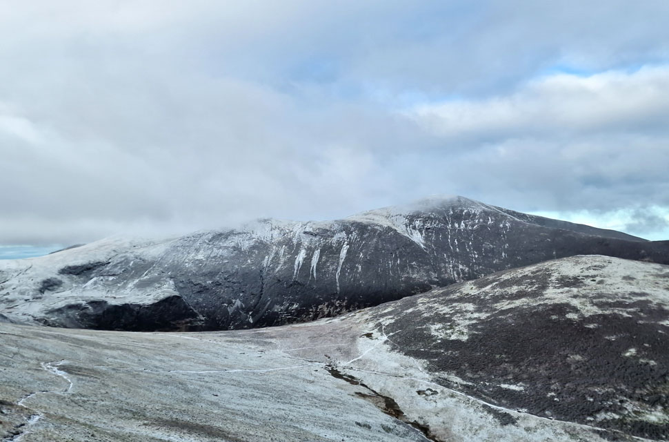
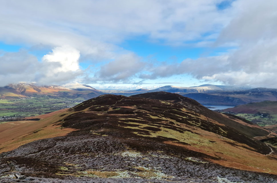
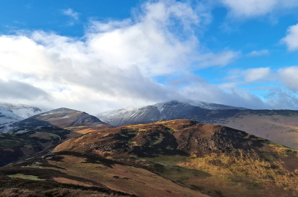
| Causey Pike from Stonycroft Gill 10:45am 3°C |
Despite my later than normal arrival, I'd been up since 8:00am taking Holly and Brad out on an early morning dog walk just as the sun was coming up. It was a pity that the forecast wasn't similar to back home when I arrived in Lakeland, where it was drizzling and trying to snow. According to the experts it was forecast to stop around 11:00am so I wouldn't have to put up with it for much longer. I parked with ease at the large layby outside the hamlet of Stair next to an idling motorhome. As the rain pelted my windscreen any long distant views were virtually nonexistent, with Skiddaw and Blencathra below cloud but between the grey, chinks of blue sky were beginning to appear.
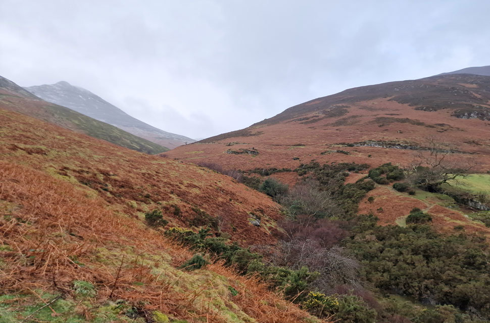
I kitted up for the forecast and not the present, which meant I left my waterproof over trousers in my pack, but I was wise enough to add a waterproof jacket. The rain had almost stopped by the time I was ready to leave the layby as I gazed up at Rowling End, soon locating the path up the nose of the fell as it weaved between the dead bracken. With Stonycroft Cottages to my right, I passed over Stonycroft Gill before turning right onto the fellside at a signpost aptly named Stonycroft Gill. |
 |
| Views over Little Town towards High Crag and Maiden Moor. |
| The path that I'd seen just ten minutes earlier was now lost in bracken not helped by the steepness of the fell side which can be seen lower right. Soon I reached a fork in the path where I headed left into the snow line. |
 |
| Beyond Stonycroft Gill, Stile End and Barrow. |
| Snow flurries came and went along with a healthy mix of rain and drizzle so prolonged at times I was forced to draw my hood down. Into the heather and a fresh coating of snow which transferred to the lower half of my trousers, not only had I chosen not to wear over trousers but I hadn't even bothered to add gaiters either. |
 |
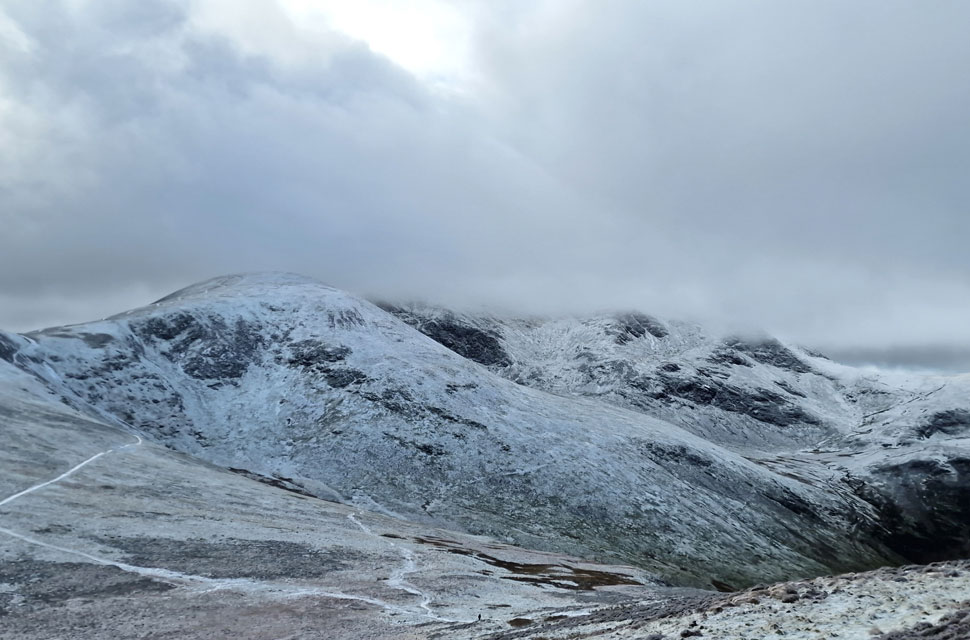
| Ard Crags, Scar Crags, Causey Pike and Sleet Hause from Rowling End. |
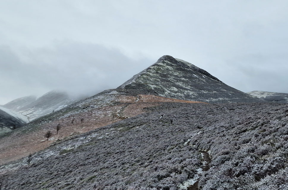
| A bare lonesome tree marked the highest point of Rowling End as Sleet Hause and Causey Pike unfold ahead. |
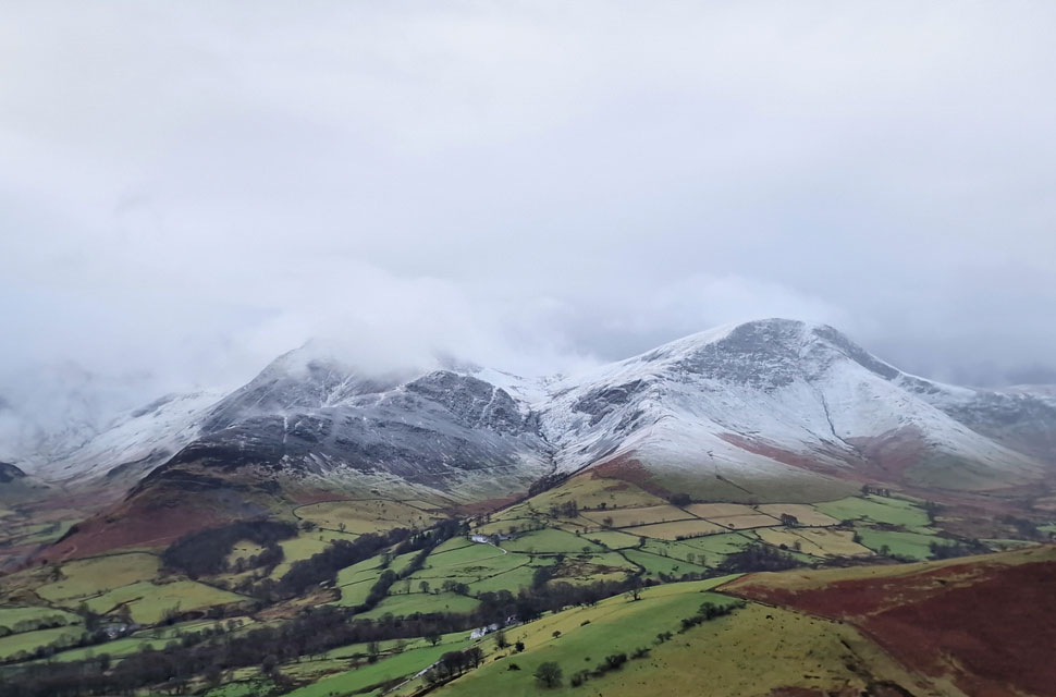 |
| Hindscarth and Robinson from Sleet Hause. |
| Despite the weather improving directly overhead across the Newlands Valley there seems to be no change. |
 |
| Causey Pike from Sleet Hause. |
| |
 |
| Looking back on Sleet Hause and Rowling End. |
| Towards Cat Bells, Derwent Water, and the eastern fells most of which were still well below cloud. |
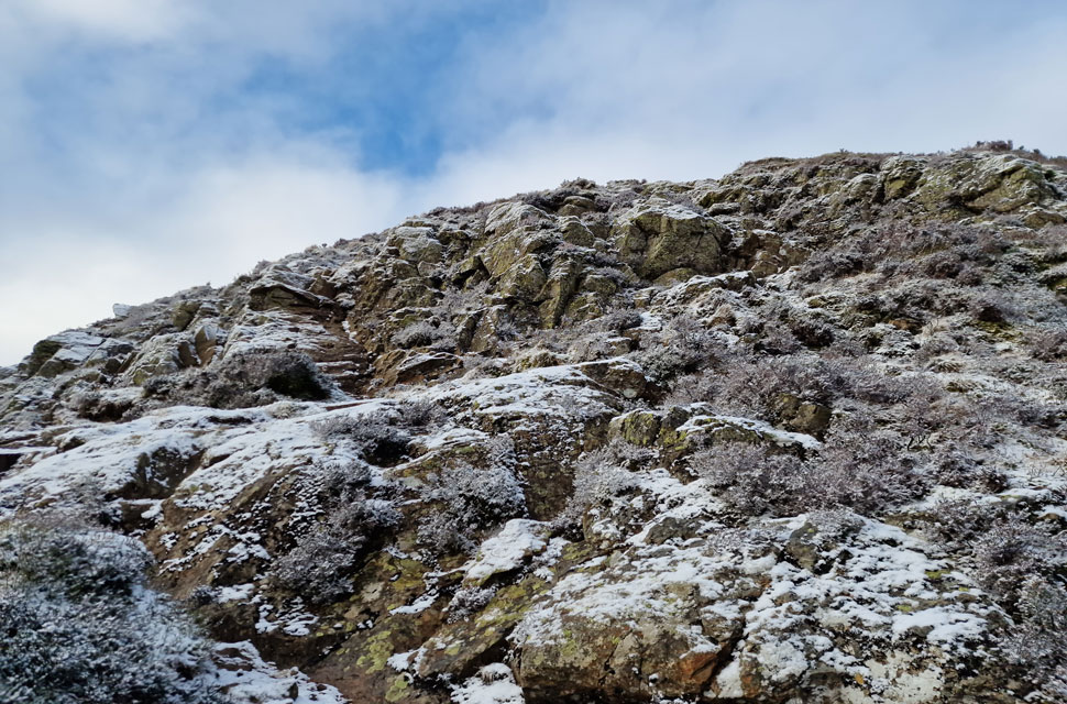 |
| Ascending the rock tower, Causey Pike. |
Two walkers had been standing on the summit who began their descent the same time as I began my ascent, they were in good spirits and looked like they'd been on the fell all morning judging by how much snow had settled onto the lids of their packs, we passed with 'mornings' and a brief 'you ok?' which is just common fell courtesy given the conditions. Soon after a third guy appeared who was descending mostly on his backside, there's absolutely nothing wrong with that I thought to myself, in fact I'd probably do the same passing with another 'morning' unaware that midday had just passed. |
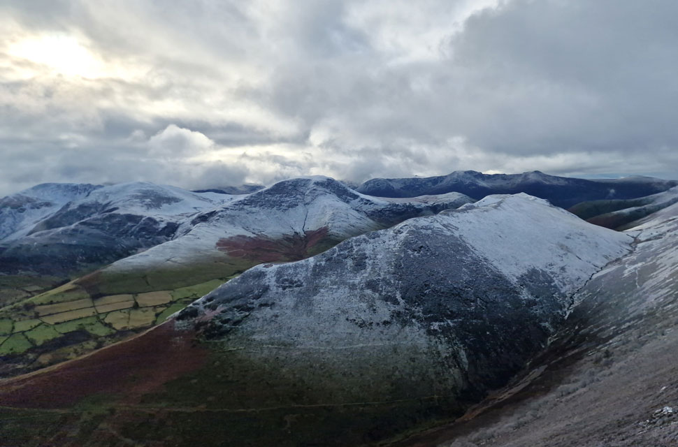 |
| Dale Head, Hindscarth, Robinson, Ard Crags and Knott Rigg from Causey Pike summit. |
| Not forgetting the High Stile Ridge in the distance. |
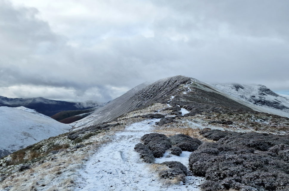 |
| Scar Crags ahead. |
| I really was in two minds to add Scar Crags to the walk but with my later than normal start time and the time I'd agreed to be home(ish) by I thought it was best to stick to the original route. |
 |
| Descending into High Moss. |
| With cloud clearing from Grisedale Pike and Outerside seen to the right. |
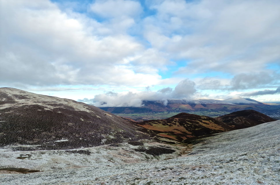 |
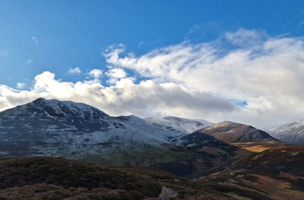
| Outerside, Stile End and Barrow from High Moss. |
| Skiddaw is still below cloud which has almost lifted from Blencathra now. |
 |
| Looking back on Sail and Eel Crag (Crag Hill) from High Moss. |
| With Coledale Hause seen to the right. |
 |
| Bassenthwaite, Kin, Skiddaw, Blencathra and Latrigg from Outerside summit. |
| The wind hadn't been too notable all morning until I began my ascent on Outerside where the wind had a real bite to it. |
 |
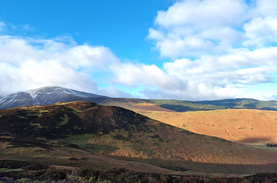
| Low Moss, Stile End and Barrow. |
| The only descent I needed to be wary off was the one off Outerside which weaves through heather and rock steps which today were wet and greasy underfoot not helped by copious amounts of mud! |
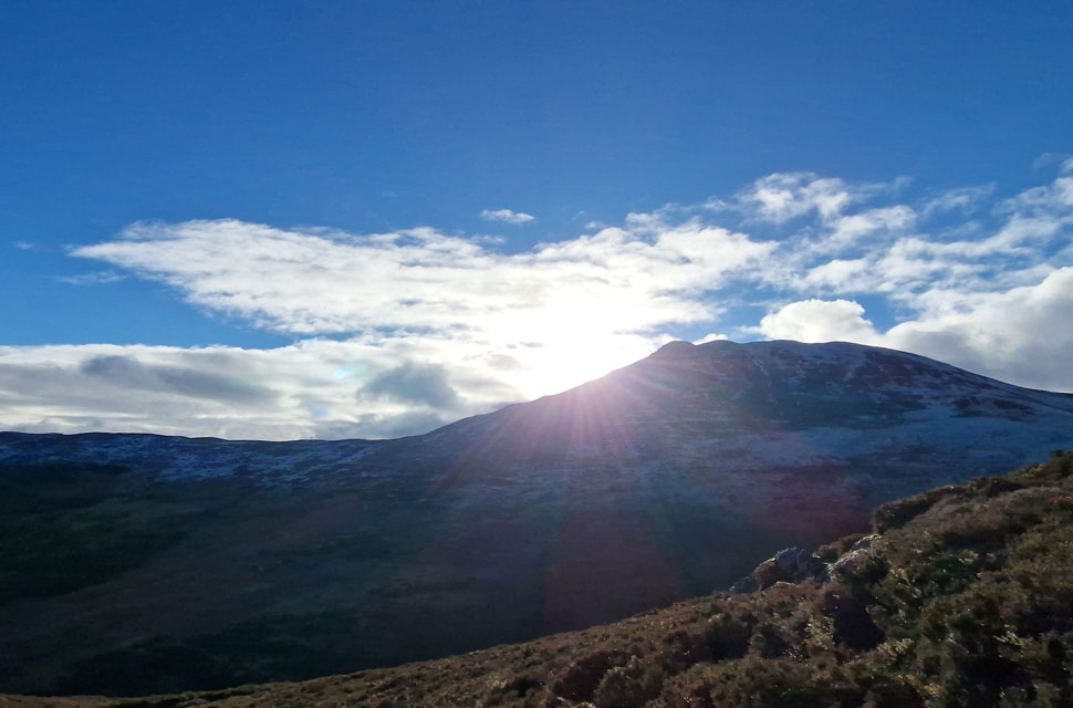 |
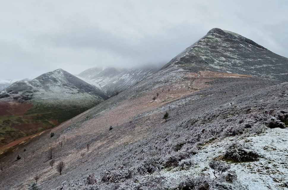
| Winter sun over Causey Pike. |
| The wind continued to pack a punch but the good news was the cloud had cleared leaving blue skies in its wake. |
 |
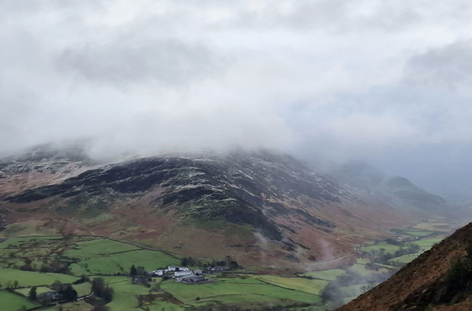
| Looking back on Stile End and Grisedale Pike from my ascent on Barrow. |
| Stile End had to be the busiest place I'd summited with crowds into double figures who I pass through before realising I was heading for the north west ridge, a quick photograph saved my embarrassment as I doubled back through the crowds mumbling the biggest D'oh! ever. |
 |
| Barrow Door, Causey Pike, Scar Crags, Sail, Eel Crag (Crag Hill) and Outerside from Barrow. |
| As Wallace once said "it's turned out nice again Gromit" |
 |
| Barrow Door, Stile End, Outerside and Grisedale Pike from Barrow. |
| Not far from Barrow's summit now. |
 |
| Skiddaw cloaked in cloud as I begin my descent of Barrow. |
| Don't be fooled by the sunshine it's bloody freezing but what a view! |
 |
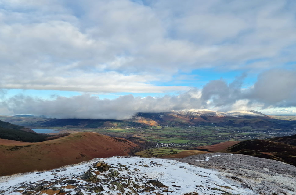
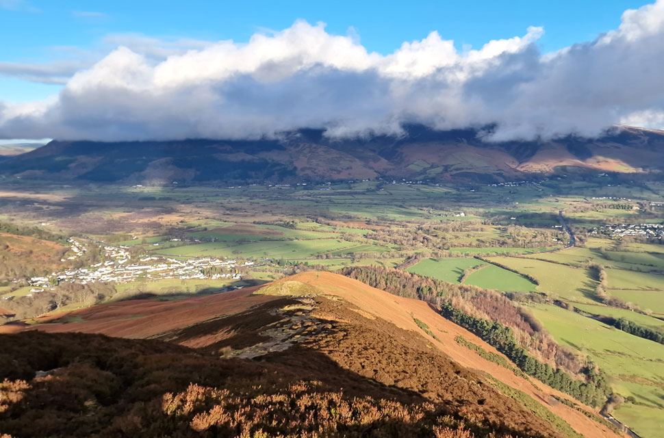
| Views over Braithwaite village towards Barf, Bassenthwaite, Binsey, Longside Edge and Dodd. |
| Just in case you were wondering the little hill in the foreground is Braithwaite How. |
 |
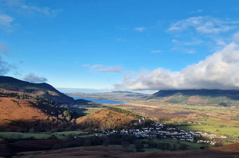
| Views of Cat Bells as I head back to Stair. |
Under a warming winter sun, I continued my descent, passing half a dozen day trippers, some of whom were pulling their sleeves down over their hands to shield them from the biting wind, others using their hands to shield their eyes from the low winter sun which sat directly above Barrow's summit. I could just about hear the traffic on the A66 below, but the wind was still dominant as it scuttled a never-ending layer of cloud across Skiddaw's summit.
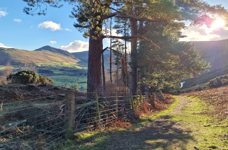
I was almost at the base of the ridge, where I turned right and joined the path alongside woodland, where I could hear Pheasants calling below the tree canopy. I pass a middle-aged couple before joining Newlands Pass by the cattle grid, Cat Bells illuminated in winter sun while below the waterlogged fields of nearby Stair glistened in the afternoon light. |
|
| |
| Back to top |
 |
|