|
Angletarn Pikes to Rest Dodd from Hartsop |
 |
 |
13th July 2024 |
 |
|
I missed out on a fell walk last weekend due to work, and the prospects of walking this weekend looked back on track with sunny spells and an 80% chance of cloud-free summits, according to the mountain forecast. It's been a staggering six years since I last walked Rest Dodd and four since I was last on Brock Crags, two summits that I peered over to from The Knott back in May, where I promised myself I'd return soon.
I hate letting the lads down. When Rod emailed at the beginning of the week asking what were the plans for the weekend, with David committed to walking with Jennifer, I replied that after a particularly busy, stressful period at work, the one thought that kept me going was some fell time alone just so I could ground myself back down to earth and let the stress seep out.
Rod, of course, understood that it was just a case of keeping my fingers crossed that the forecast stuck. If the lack of summer isn't bad enough, the fact that the forecasters get so persistently wrong only adds to the frustrations, but given my mindset, I think being up in the cloud did me a world of good; it was just you and the hill. What more could a chap ask for. |
|
| Wainwright Guide Book Two |
 |
| The Far Eastern Fells |
| The unspoiled village of Low Hartsop has great charm and its environment is one of quiet loveliness, much of it contributed by the hanging woods of the steep fell that rises immediately behind. This fell, Brock Crags is a off shoot of a ridge coming down to Ullswater from the main High Street watershed. |
 |
|
|
|
| |
|
Overview |
|
|
| Ascent: |
2,349 Feet - 715 Metres |
| Wainwrights: |
3, Angletarn Pikes - Brock Crags - Rest Dodd |
| Visiting: |
Angletarn Pikes South Top |
| Weather: |
A Dry Humid Start With Light Rain, Mist & Low Cloud at Height. Highs of 15°C Lows of 12°C |
| Parking: |
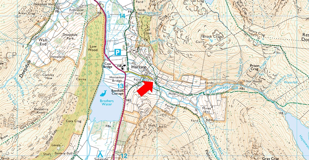
Car Park, Hartsop |
| Area: |
Far Eastern |
| Miles: |
7.2 |
| Walking With: |
On My Own |
| Ordnance Survey: |
OL5 |
| Time Taken: |
4 Hours |
| Route: |
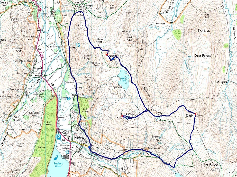
Hartsop - Calf Close - Dub How - Boredale Hause - Angletarn Pikes - Angletarn Pikes South Top - Angle Tarn - Brock Crags - Satura Crag - Rest Dodd - Hayeswater - Hayeswater Gill - Hartsop |
|
| |
|
Parking Details and Map |
|
|
| Nearest Post Code: |
CA11 0NZ |
| Grid Reference: |
NY 410 213 |
| Notes: |
A very popular car park in the hamlet of Hartsop giving access within the heart of the east and far eastern fells just a few minutes stroll away from Brothers Water. The car park is situated at the end of a narrow lane which provides the backbone to the village. A honesty box can be found next to the gate at the far end of the car park. |
|
| |
|
Map and Photo Gallery |
|
|
 |
| |
| |
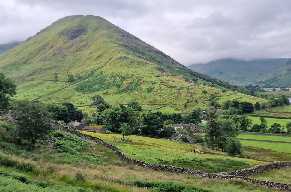 |
| Hartsop Dodd over Hartsop 7:25am 12°C |
I left home under blue skies, and the air was so clear I could see the Lakeland Fells from the M6 south of Leyland. By the time I had reached Lancaster, the skies were thickening with grey clouds, and the further north I drove the blue skies had disappeared in my rear view mirror. Kirkstone Pass reached the III Bell Ridge, and Red screes were all below the clouds, but I still felt positive that it would lift; after all, it was still early. Mine was the second car to arrive at the car park, the first being a VW Polo with a long Canadian canoe fastened to its roof rack. All was well.
It was a mild morning with just the gentlest of breezes in the air, but judging by the cloud it would be a wise move to pack my over-trousers, which I rolled up on the bonnet of my car along with my waterproof jacket. Anyone who knows this car park, especially during peak season, will know it's not uncommon to get blocked in, something that David knew all too well after he was forced to wait until the owner of the car who blocked him in return a couple of hours later. I could only imagine how blue the air turned. I left the car park and immediately turned right onto the concrete track, which rises behind the village, as my view opened south across a sleeping Hartsop. |
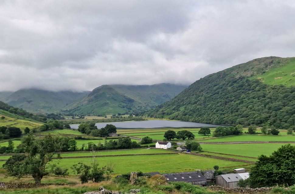 |
| Looking across to Brothers Water towards Middle Dodd, High Hartsop Dodd and the Hartsop above How ridge over on the right. |
| It was here I spotted the two cyclists I'd passed on Kirkstone Pass pass now heading towards Patterdale. |
 |
| Dubhow Crag from the bridleway that links Hartsop with Patterdale. |
| I left the concrete track behind after passing through a wooden gate where the path narrowed through wet grass and bracken, by the time I emerged on the other side my shorts were wet through. In hindsight I should have added my over-trousers but it seemed like to much faff. |
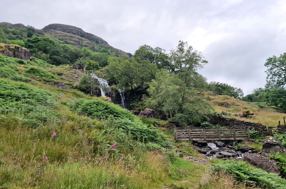 |
| Lingy Crag with Angletarn Beck in the foreground. |
| Angletarn Beck could be heard well before it was seen; its waterfalls breaking the silence of the morning as I passed over the wooden footbridge legs and shorts looking like I'd fell in! |
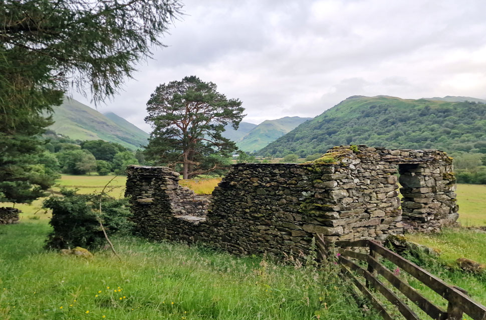 |
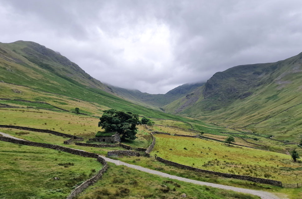
| Ruined building, Dub How. |
| With Angletarn Beck behind me silence returned as I passed through Dub How. No matter the weather the view from this ruined building is classic Lakeland. |
 |
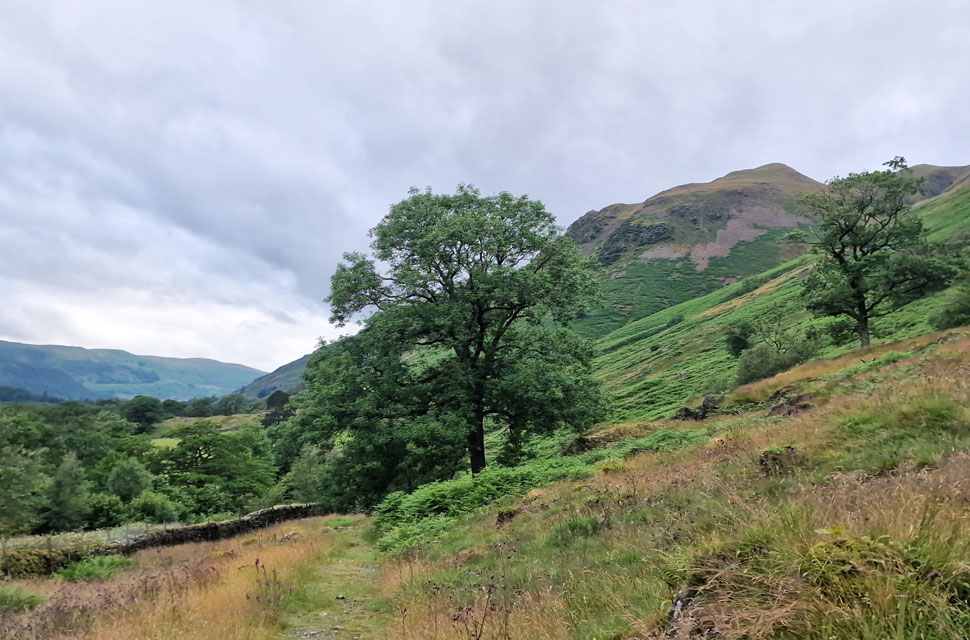
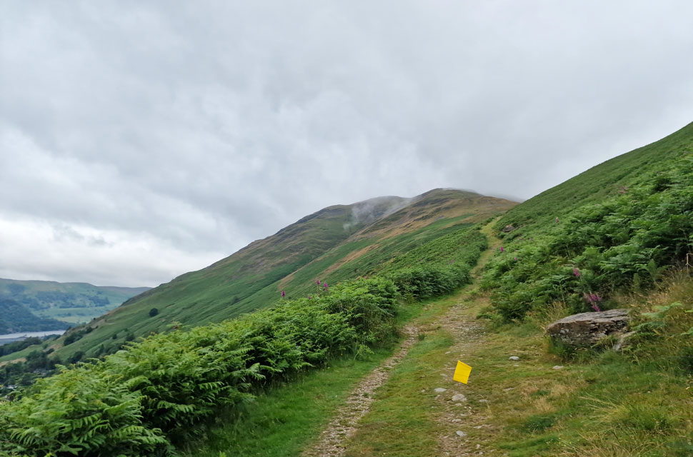
| Views extending as I join the path bound for Boredale Hause. |
| It wasn't long before I joined the path bound for Boredale Hause from where I took in the view south towards the top of Kirkstone Pass, its surrounding summits still well below the cloud line. It was along here did I spot a series of yellow triangular flags for a Lakeland trail run and soon after I was being passed by its competitors. |
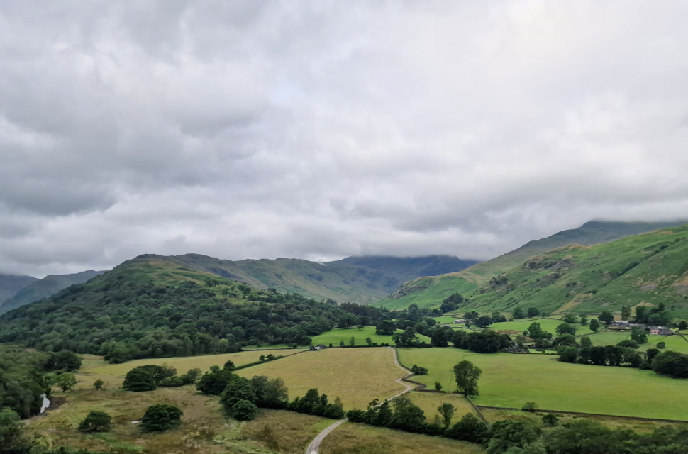 |
| The view into the Deepdale valley. |
| With Hartsop above How, Hart Crag and Gavel Pike's east ridge descending towards Latterhow Crag in the centre. |
 |
| Place Fell comes into view. |
By this time I'd been passed by half a dozen fell runners who despite their aches and pains were very friendly one even wishing me to 'enjoy my day' Up ahead the path steepens towards the point where my walking poles were at shoulder height. |
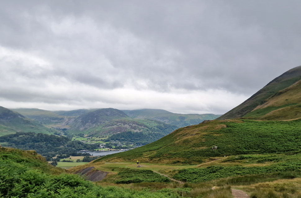 |
| Sheffield Pike, Glenridding Dodd and Hart Side from Boredale Hause. |
| Puffing like a steam train I arrived at Boredale Hause where I found a race marshal sat on a stool and I quickly composed myself as 'mornings' were shared. Soon after another fell runner appeared as the marshal directed him down Boredale Hause instructing him to turn right at the end towards Patterdale, the fell runner looked on nodding as if he hadn't a clue were he was going...surely not. |
 |
| The view back to Place Fell. |
| As I ascend towards the top of Dubhow Beck. |
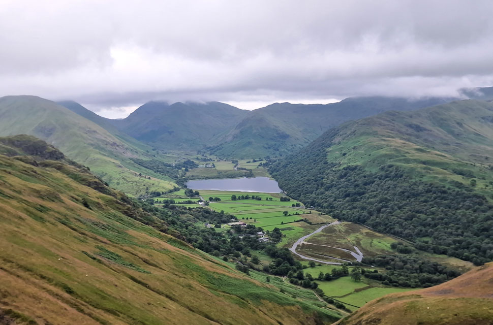 |
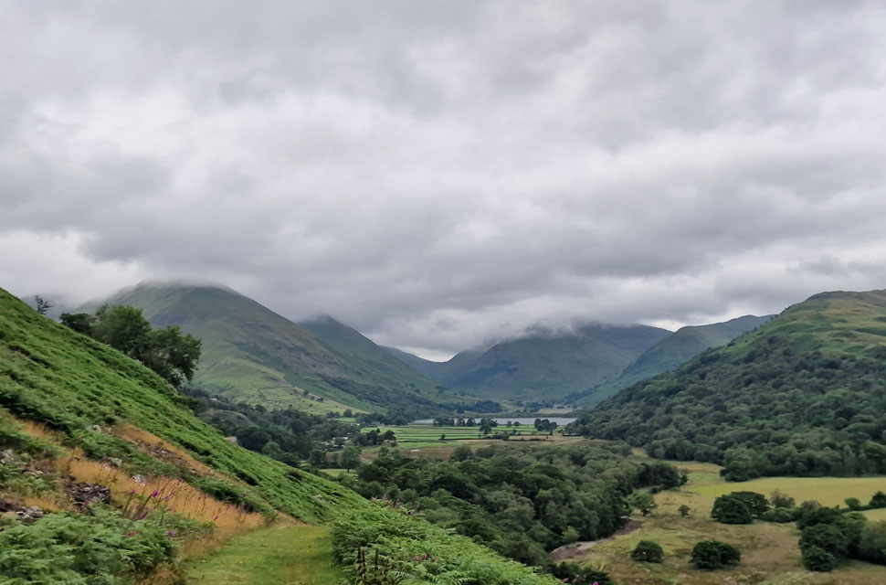
| Hartsop Dodd, Caudale Moor, Red Screes, Middle Dodd, High Hartsop Dodd, Hartsop above How and Brothers Water. |
| I climbed steadily towards the head of Dubhow Beck from where I took in this magnificent view over Brothers Water and surrounding fells. By now the wind had whipped up and I could feel drizzle in the air, the impending rain was on its way! |
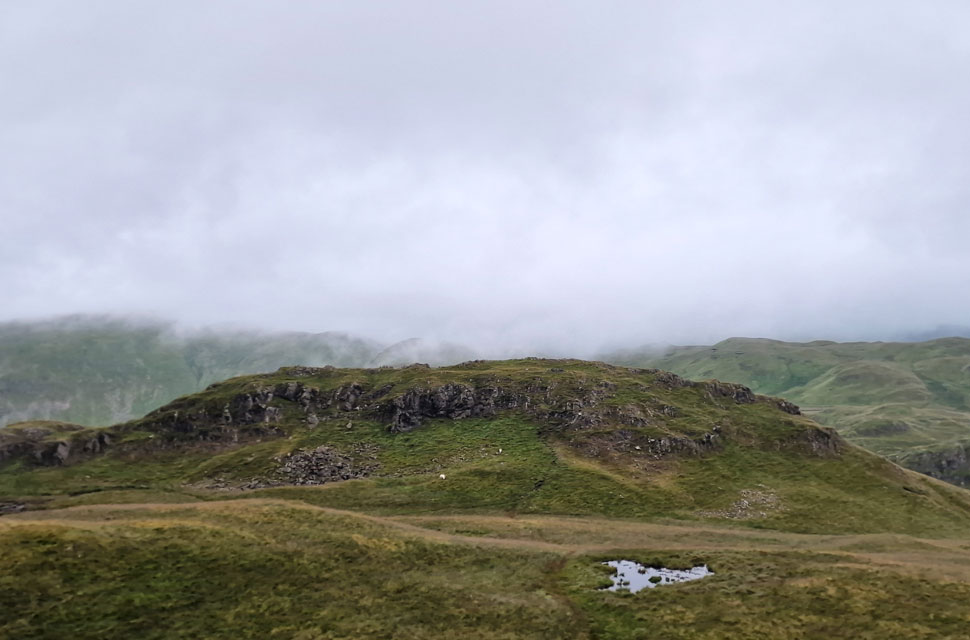 |
| Angletarn Pikes south top from the north top (summit) |
| At the head of Dubhow Beck you are presented with two paths, heading right continues towards Angle Tarn or left towards Angletarn Pikes summit, the path splits again a little further on giving you the option to summit from the left or right, today I opted for the left. From the summit I took in the view towards the south top which is where I'm heading next. |
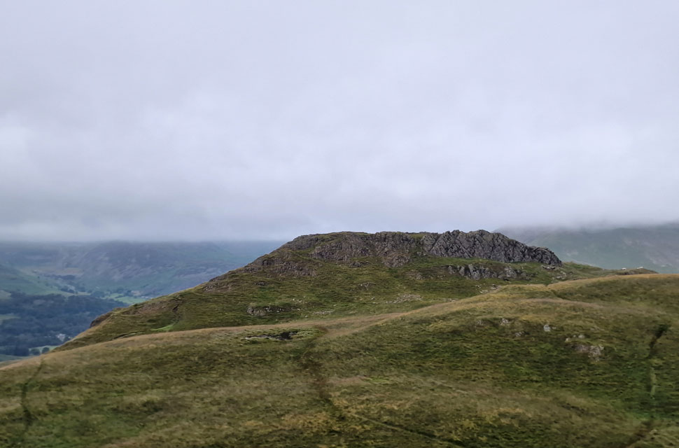 |
| Angletarns Pikes summit from the South Top. |
| I left the summit using the path seen left, crossed the boggy bits and ascended the South top with ease. By now the drizzle had turned to rain accompanied by a strengthening wind. |
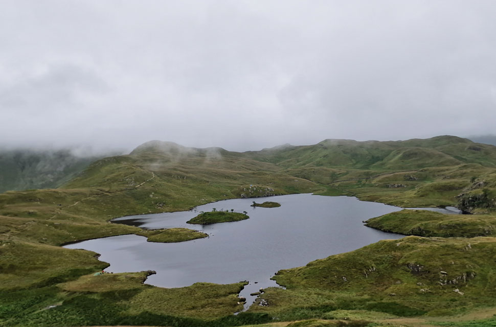 |
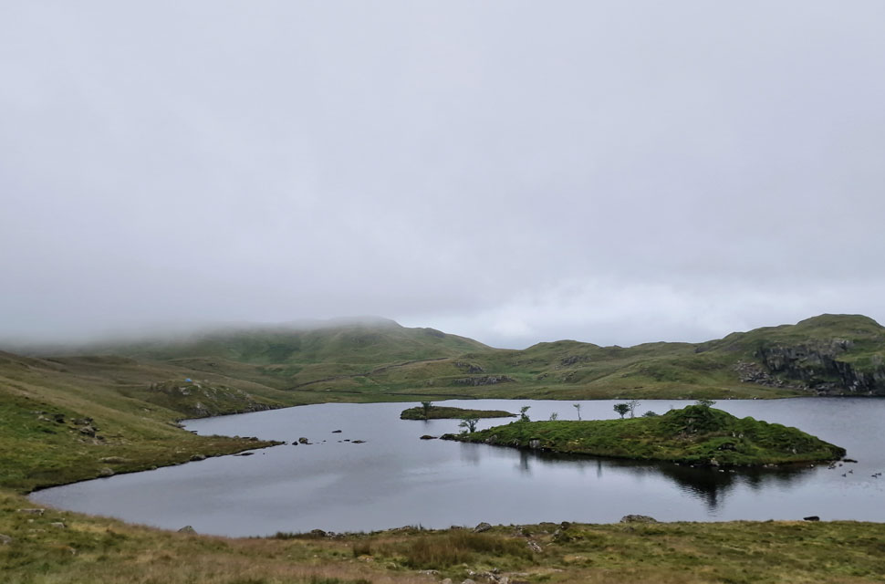
| Angle Tarn comes into view as I descend the South Top. |
| With the rain increasing I found a boulder, de-shouldered my pack and added my waterproof over-trousers. It was from my descent did I spot two tents one in the bottom left and another pitched right next to the path upper left. Im not sure why you'd pitch up right next to the path but we'd seen the same thing while walking back to Swirls on the Forestry track during our circuit of Thirlmere a couple of weeks ago. |
 |
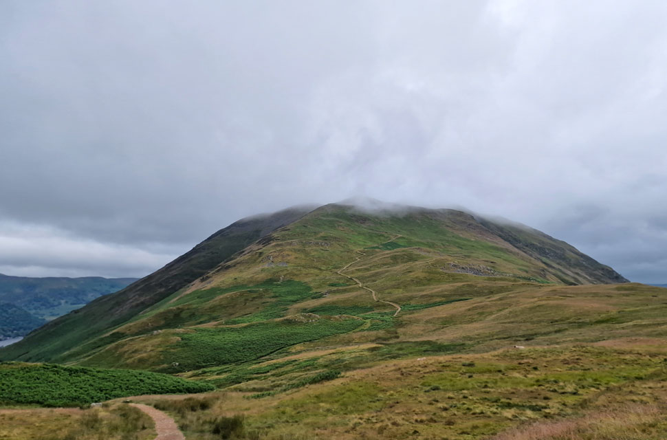
| Cloud descends on Brock Crags. |
| i joined the path and passed the tent where two young-uns had a stove going and 'mornings' were shared. On the opposite side of the tarn I spotted another two tents with half a dozen young lads at the side. I'm no anti-socialist but nah, way to many people for my liking. It appears Angle Tarn's popularity has also become its downfall which is very sad because its a beautiful place. |
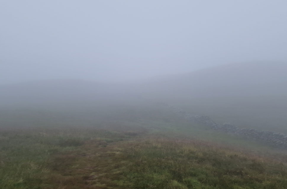 |
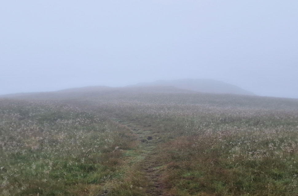
| In the thick of it. |
| It was tempting to leave the path at the many short cuts to Brock Crags but as I'm aware, these paths pass through bog and my boots where only just keeping the water out so I continued towards the wall just shy of Satura Crag where I joined the path proper. |
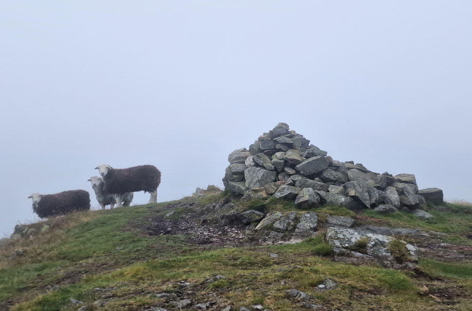 |
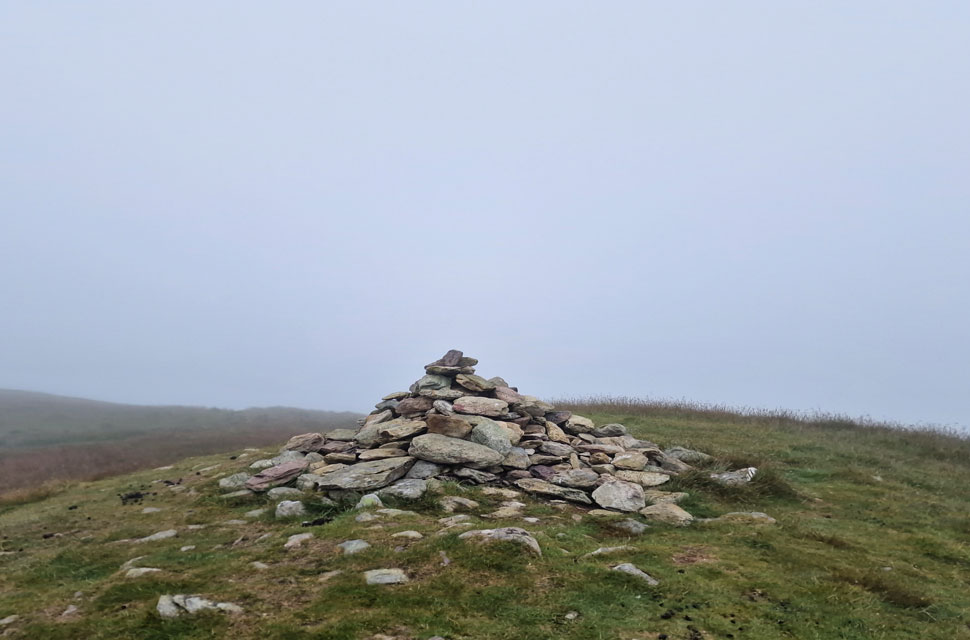
| Hey up. |
| Despite keeping to the path I couldn't escape the boggy bits and eventually my left boot gave up leaving my foot damp and cold, it had been a while but it wasn't really worth complaining about. Guarded by three curious sheep I arrived at the summit in fifty feet of visibility, tapped the stone cairn with the tip of my walking pole and turned heel as quickly as I'd arrived. |
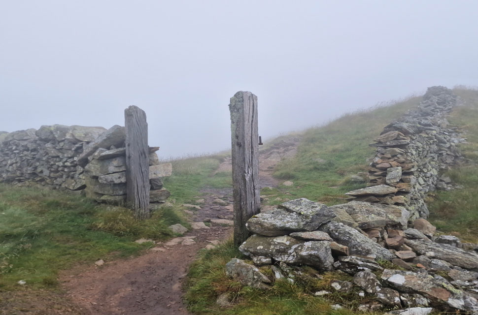 |
| Satura Crag gatepost. |
| I followed a different path around the pools below Brock Crags but it was just as wet and soon my right boot gave up too. It was no bother as I linked back up with the wall before arriving at the ever familiar gatepost atop Satura Crag. |
 |
| Rest Dodd bound. |
| From the gate post I steered south east while keeping an eye out for the path that splits left for Rest Dodd at a collection of small pools. I like to think I have a photographic memory of ventured paths but I was lacking with this one. As it turned out the path appeared on my left but oddly I never spotted the pools. |
 |
| Rest Dodd summit. |
| The visibility worsened to around twenty feet in places and during a lack of concentration I missed the right turn where the path heads directly towards the summit only realising my mistake when I spotted the wall above the col linking Rest Dodd with The Nab."Eh I muttered, cant be" I sighed! I only had to track back fifty yards or so before spotting the path but it just goes to show what a lack of concentration can do even to the seasoned fell walker. |
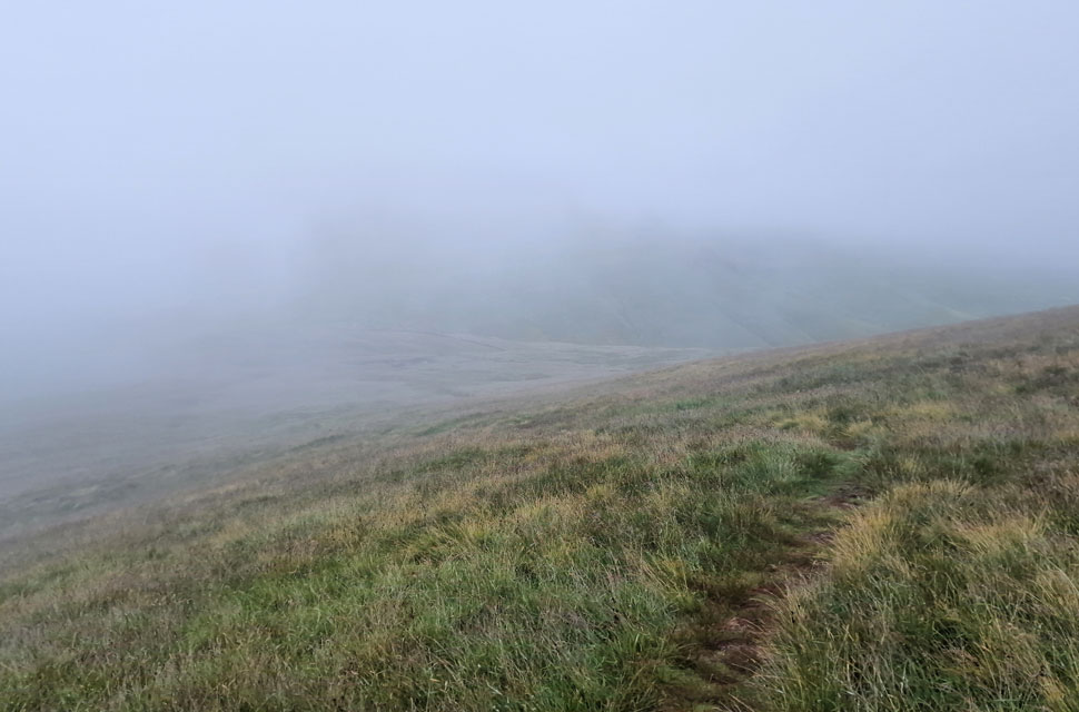 |
| Descending Rest Dodd. |
| It was a shame that summit time was kept brief but there was no point hanging around in cloud getting wet and cold so I began my descent feeling content that I'd finally revisited Rest Dodd after all these years, despite not being able to see a thing! The more I descended the cloud began to break revealing the path below and in the distance, Gray Crag. |
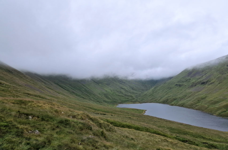 |
| Below the cloud as I descend towards Hayeswater. |
| Besides the fell runners I hadn't seen anyone all morning which continued as I crossed the path that links Brock Crags with Rest Dodd. After skirting around the head of Sulphury Gill I began my descent towards Hayeswater where I passed a 'bridge out' sign. Surely not! |
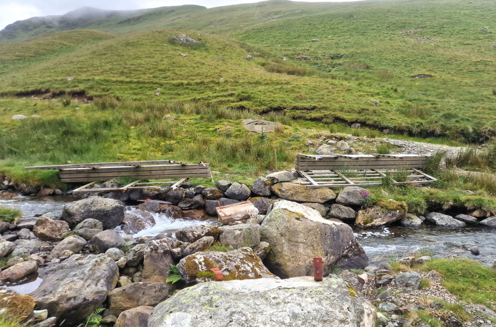 |
| Damaged bridge, Hayeswater Gill. |
| This had to be the third time the bridge has been flood damaged in my time as a fell walker where you can clearly see the bridge has been torn from its foundations. Towards the right, and out of shot some kind person had placed stepping stones in the gill which were just proud of the waters surface which I used to cross. As I'm out the cloud and seeing as its stopped raining I de-shoulder my pack again on the other side and remove my over-trousers. |
 |
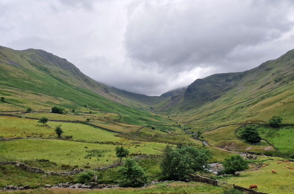
| Views into Pasture Bottom. |
| Towards Threshthwaite Mouth. |
 |
| |
| |
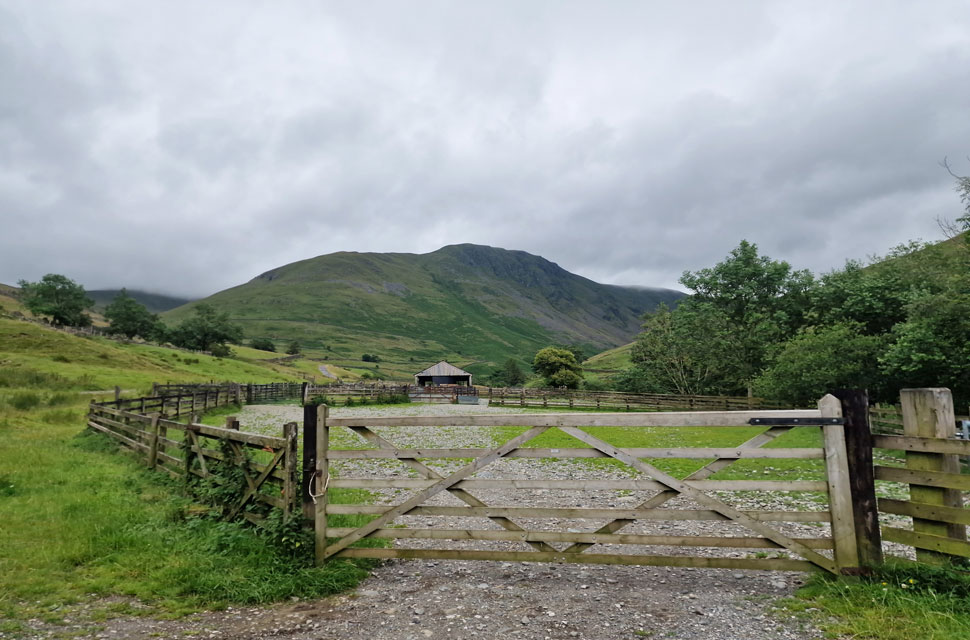 |
| Gray Crag from Hartsop. |
My route back to Hartsop would see me cross Hayeswater Gill further down at the old pump house, but first, I needed to make sure the bridge hadn't been washed away; thankfully, it had, and I crossed at the same time as a couple and their dog, who had appeared from behind the stepped wall. As they had to pick up their dog, they kindly allowed me to scale the wall first, soon followed by the couple. I'd left the wind at the summits, and I'd dried out with the exception of a pair of damp feet as I began my descent back to Hartsop, sighting a group of walkers ascending the viciously steep path on Grey Crag's north side.
More walkers were passing as I took in the view into the pasture. The bottom of the valley is still flanked by clouds on both sides. I first spotted the canoe fastened to the roof rack of the car parked next to mine before counting how many cars were now occupying the car park; amazingly, it was only ten, all parked in two neat rows, which caused a slight stomach drop and my faith in humanity to return. |
|
| |
| Back to top |
 |
|