|
Branstree, Selside Pike & The Old Corpse Road |
 |
 |
6th August 2024 |
 |
|
|
| |
|
Overview |
|
|
| Ascent: |
1,900 Feet - 579 Metres |
| Wainwrights: |
2, Branstree - Selside Pike |
| Visiting: |
2, Artle Crag - High Howes |
| Weather: |
Sunshine & High Level Cloud. Feeling Brisk At Height. Highs of 21°C Lows of 18°C Feels Like 8°C |
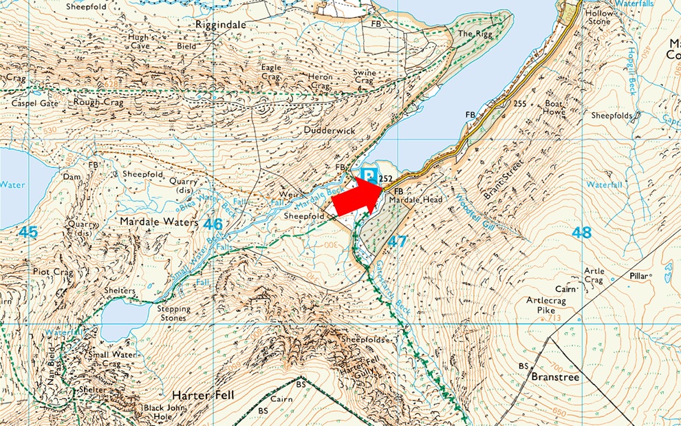
| Parking: |
Car Park, Mardale Head |
| Area: |
Far Eastern |
| Miles: |
6 |
| Walking With: |
On My Own |
| Ordnance Survey: |
OL5 |
| Time Taken: |
3 Hours 20 Minutes |
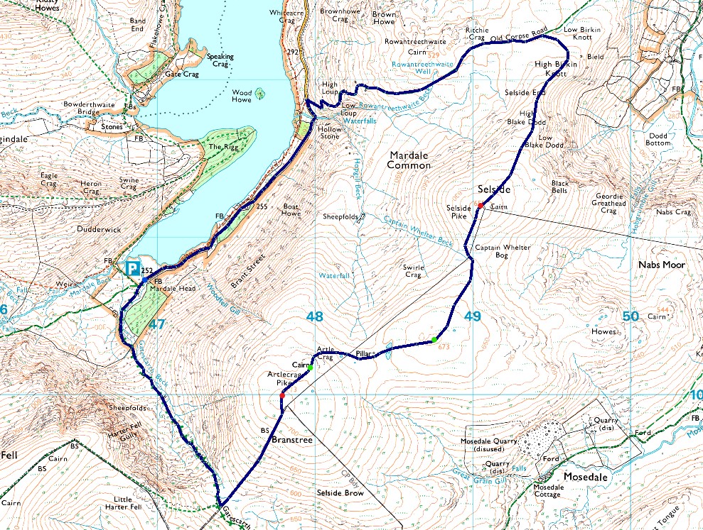
| Route: |
Mardale Head - Gatescarth Pass - Branstree - Artle Crag - High Howes - Captain Whelter Bog - Selside Pike - Selside End - Old Corpse Road - Mardale Head |
|
| |
|
Parking Details and Map |
|
|
| Nearest Post Code: |
CA10 2QT |
| Grid Reference: |
NY 469 310 |
| Notes: |
Probably one of the most scenic car parks in Lakeland found at the head of the Mardale Valley offering easy access onto the High Street fells plus many more. The car park during Summer can fill up quickly but with most car parks in Lakeland if you time your arrival early enough you're always guaranteed a parking place. Parking is free. |
|
| |
|
Map and Photo Gallery |
|
|
 |
| |
| |
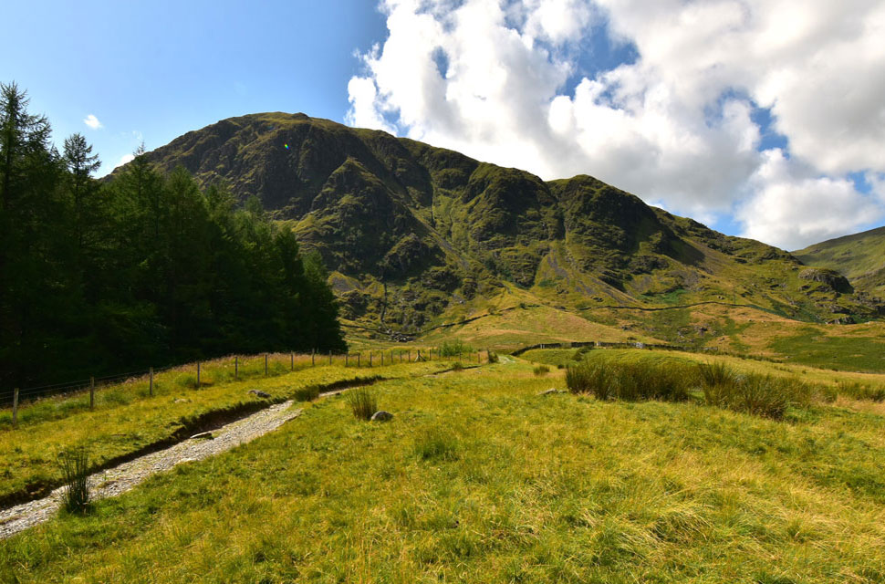 |
| Harter Fell (Mardale) 12:00pm 18°C |
I'm on the road to recovery, but somehow I managed to ignite an old back injury while cutting the lawn the other day. Honestly, you couldn't make it up could you? The injury stems back to around 2007 when I jumped up to catch a cricket ball, but my wife Paula insists it happened when I had to fish our then, half-blind Westie Lucy out of the canal after she had fallen in. No matter how I caused the injury it regularly comes back to haunt me. I woke this morning and my back felt a little stiff but nowhere near as painful as it had during Monday, so I thought I'd head to Mardale Head and walk Branstree to Selside Pike via Gatescarth Pass.
The temptation to climb High Street was very tempting, but with my luck at the moment I'd only aggravate my injury further, so I thought I'd try a walk a little less demanding. I arrived to find the car park full which was to be expected, but I managed to park on the outskirts of the car park ahead of half a dozen other cars. A young couple were also kitting up behind their car and nods were shared over the roofs of the cars. The young lad then approached me, asking had I climbed High Street before and was it easy to link it with a descent via Small Water? I talked him through the route, the lad thanked me, and off they went. The car journey had left my back feeling stiff again, but it was manageable after a few minutes of walking and stretching about. The young couple had just passed through the deer gate and held it open for an elderly chap and his Jack Russell, who in turn held it open for me as I approached. The couple turned right towards the footbridge over Mardale Beck while I turned left onto Gatescarth Pass. |
 |
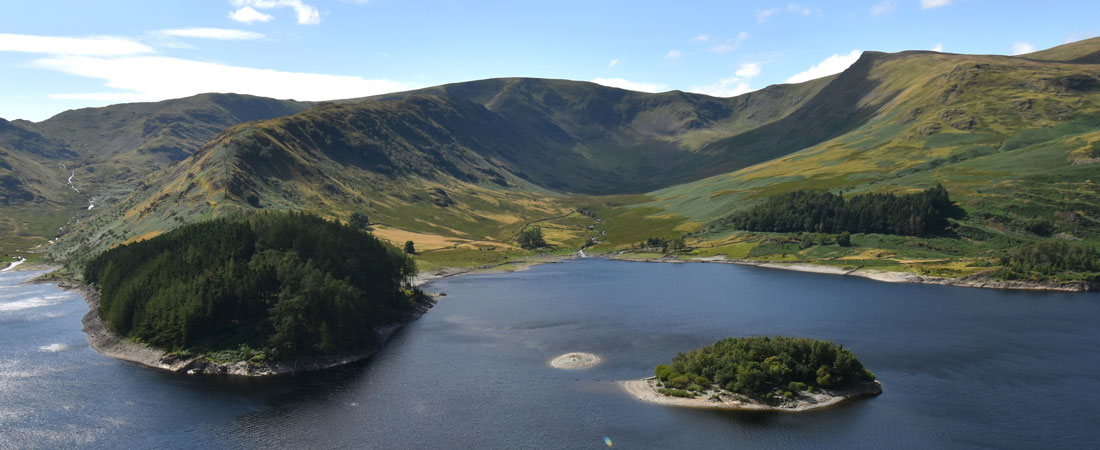
| Views over an area known as Mardale Waters (foreground) towards High Street and the Rough Crag ridge. |
| The good news was my back was coping well with the ascent and I could concentrate on enjoying the views accompanied by the noise of cascading water from Small Water Beck and Mardale Beck. |
 |
| Haweswater comes into view over The Rigg as I gain height. |
| The great thing about walking mid-week is that there is absolutely no one about despite how busy the car park was. |
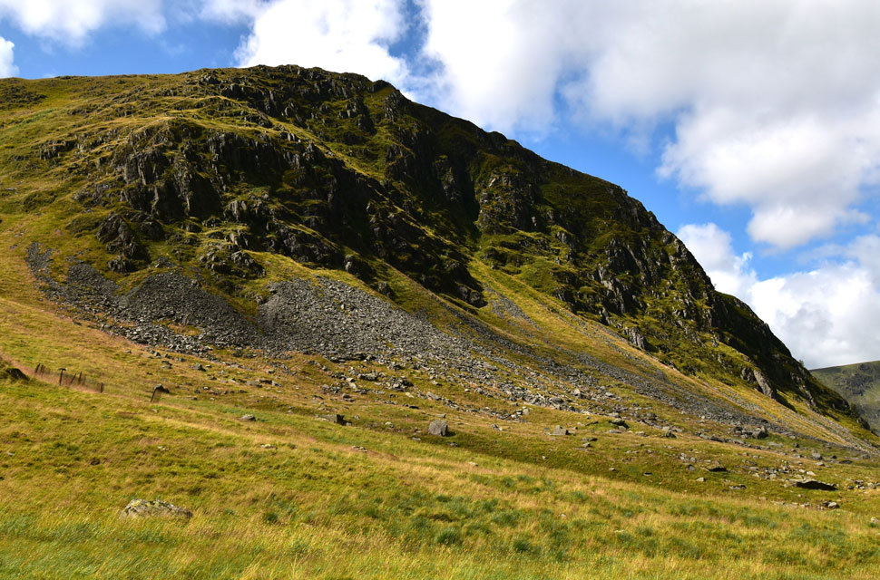 |
| Harter Fell as I near the top of Gatescarth Pass. |
| I can't walk past Harter Fell without being reminded of a conversation I had with the late Ron Black who had asked me to climb Harter Fell Gully (seen centre) for a book he was writing on Mardale. I asked him to leave it with me while I did some research which including asking my mate Ian Sharples who has climbed all over Lakeland did he have any experience of Harter Fell gully, his reply was 'none' people don't go up there or words to that effect. I called Ron back and as soon as he picked up the phone I asked Ron "was he trying to kill me!" We had a laugh about it and every time I'm here that phone call always comes back to me. Good times. |
 |
| Looking back on Gatescarth Pass. |
| Towards High Street, the Rough Crag Ridge, Kidsty Pike, High Raise (Martindale) and Low Raise, |
 |
| Almost at Branstree summit now. |
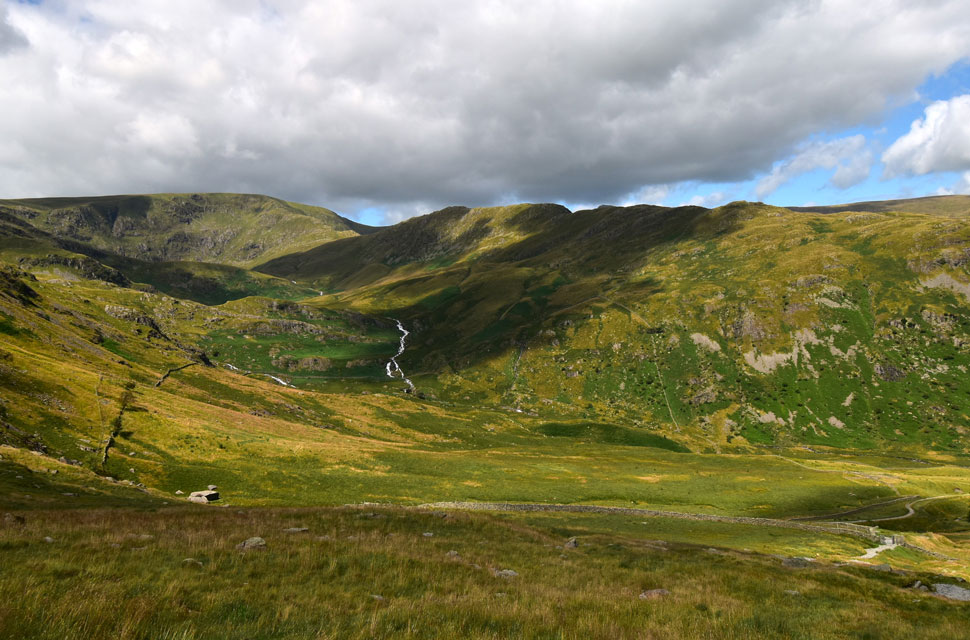
| From the top of Gatescarth Pass I branched left not for the familiar path alongside the fence but for a narrow trod which ascended through the calf high grass. From my ascent I was able to take in the views towards Adam Seat while spotting about half a dozen walkers on Harter Fell summit. |
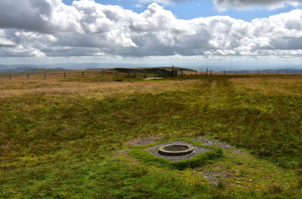 |
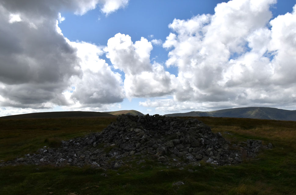
| Branstree circular summit trig point. |
It was almost 13:00pm now and all I've had to eat was a banana and a cereal bar so I told myself I'd break for lunch behind the stone wall seen in the distance, trouble was no matter which side I was on I couldn't escape the wind before remembering the stone shelter on Selside Pike's summit. I'm sure my stomach can wait another half hour or so...
Before I left I spent a few moments counting how many circular trig points are in the Lake District, including Branstree I know of three with Great Yarlside , Blencathra and If I'm not mistaken, Birks which is hidden below the stone cairn.
A big thank you to Karl Holden for getting in touch to add two more circular trig points at Knipe Scar and, Seat Robert both of which are situated in the far east of the district. |
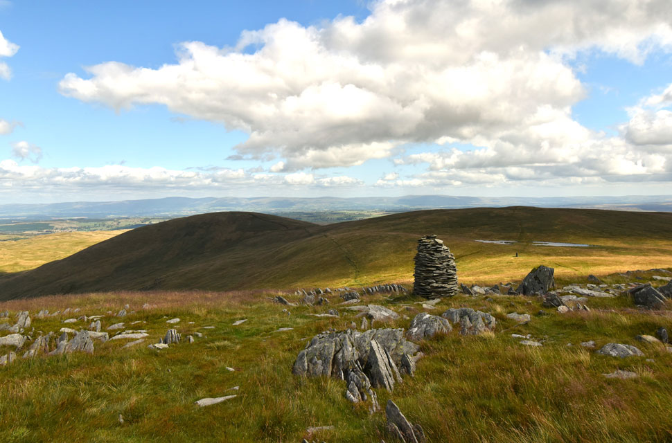 |
| High Howes and Selside Pike from Artle Crag. |
| I soon reached the two stone columns on Artle Crag where I waited for a few minutes for the sun to come back out before taking this photo. Little did I know there was a huge cloud about to block the sunshine for the next half hour or so. |
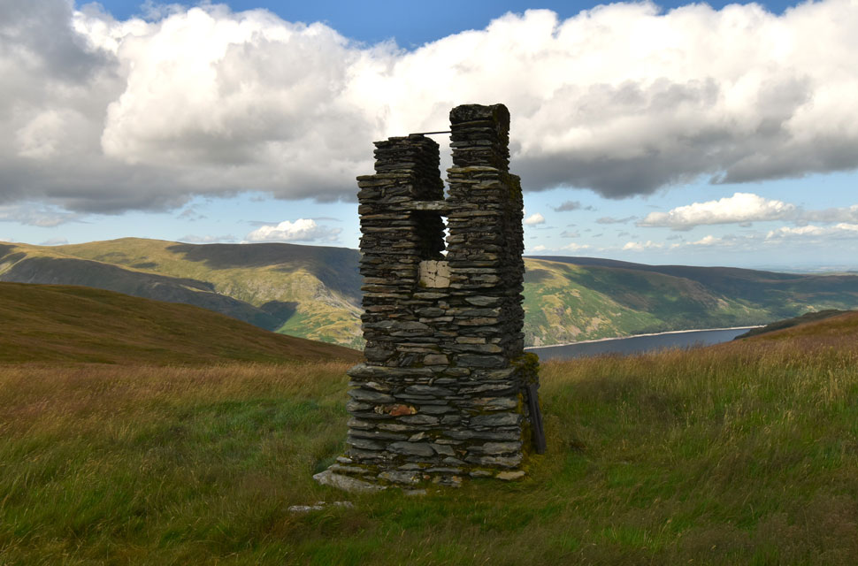 |
| Haweswater Survey/Siting Pillar. |
| Used during construction of the Haweswater aqueduct there are two more survey pillars on Tarn Crag and Great How above Longsleddale about a mile and half away to the south. |
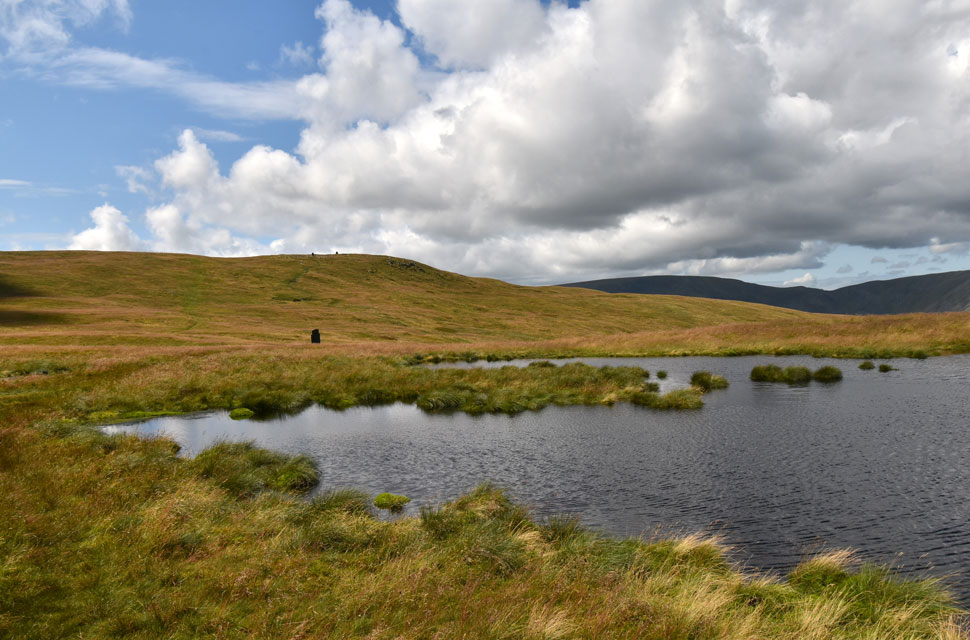 |
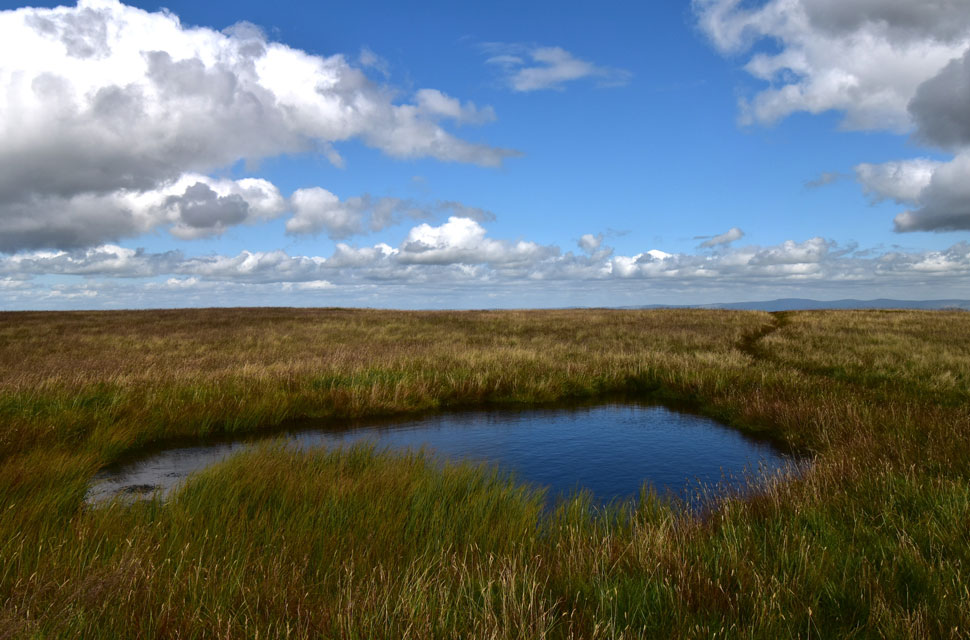
| Views back on the Survey Pillar and Artle Crag as I pass between the two nameless tarns below High Howes. |
| I've been here when these tarns were dried beds of mud and it was nice to see them as full as they were today. |
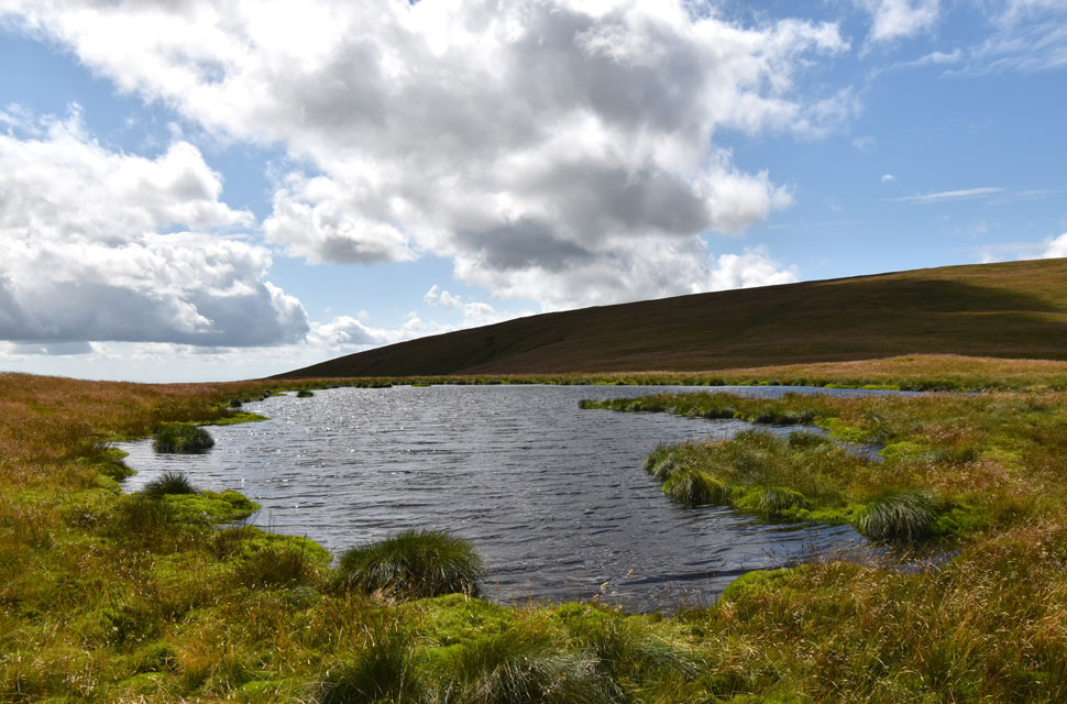 |
| Although... |
| ...I'm not surprised given the amount of rain we've had. |
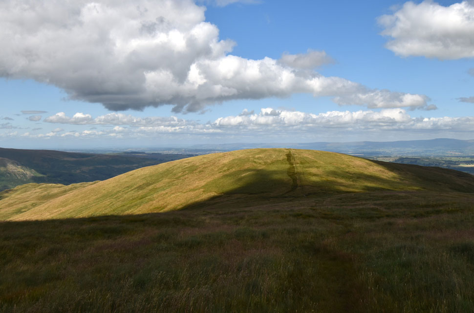 |
| Selside Pike from High Howes. |
| Instead of walking the path between Artle Crag and Selside Pike I always find that the High Howes option is the best, not only does it include a Birkett summit but the views south are great across to the more remote far eastern fells. |
 |
| Angry man shakes fist at large grey cloud blocking his sunshine. |
| Aye that was me as I approached Selside Pike summit, time for that much needed lunch me thinks. |
 |
| Lunch with a view. |
| Here taking in the silence over a distant M6 towards the North Pennines. It was just me and the swaying grass. |
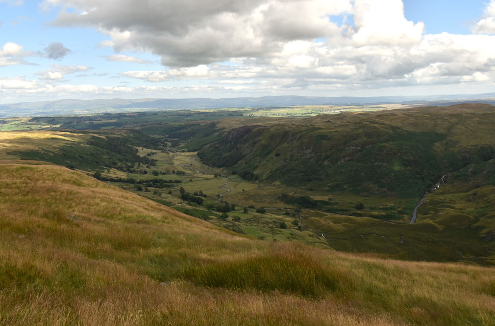 |
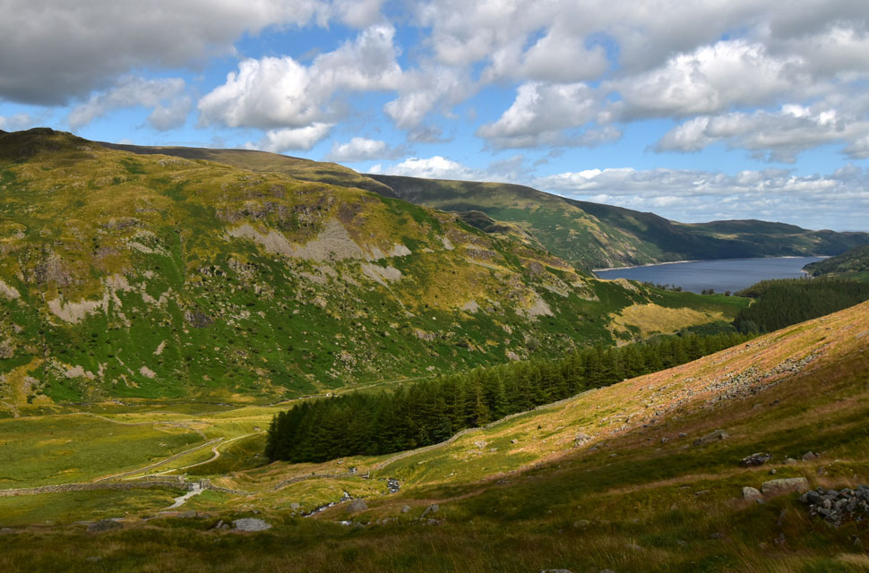
| Views into Swindale. |
| With lunch over I shouldered my pack and began my descent via Selside End from where you get these great views into the Swindale valley below. |
 |
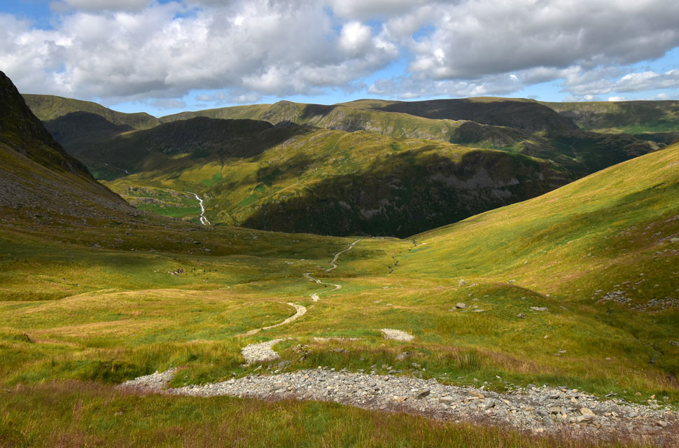
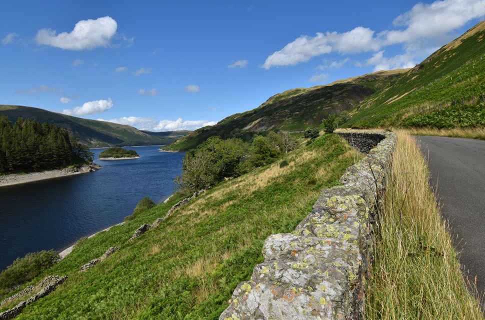
| Looking back on the Old Corpse Road. |
| With Selside End behind me I joined the Old Corpse Road which was as expected very wet underfoot. A fabulous area of Lakeland where one can't help thinking about its ancient past. |
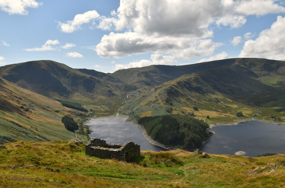 |
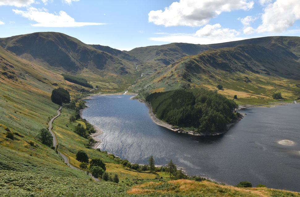
| That classic view of Mardale Head from the ruined peat huts. |
| The ruined huts were used to store and dry peat by the shepherds upto the mid 1930's when construction of the Haweswater Reservoir began. Today they act as a reminder of Mardale's past most of which is below the reservoir. |
 |
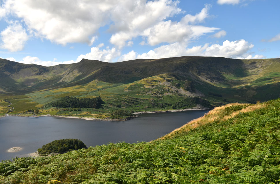
| Mardale Head. |
| Incorporating the top of Nanbield Pass, Mardale III Bell, the Rough Crag Ridge, High Street, Riggindale, Kidsty Pike and Wood Howe island below. |
 |
| Mardale Head |
| It was time to make my way down to the road below but I found the views difficult to ignore. |
 |
| Here looking towards Riggingdale, Kidsty Pike, Kidsty Howes, Castle Rock, High Raise (Martindale) Low Raise and Whelter Bottom. |
| |
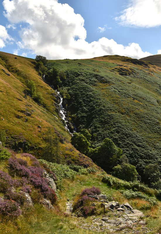 |
| Magnificent Rowantreethwaite Beck falls. |
| Recent rains meant the becks were full and could be heard well before they came into view. |
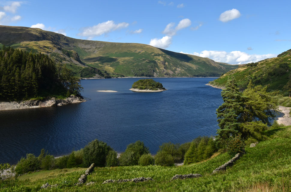 |
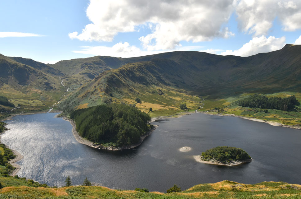
| Wood Howe Island, Haweswater. |
| |
 |
| Almost back at Mardale Head. |
Under brilliant afternoon sunshine I left the peat huts and began the final descent of the Corpse Road, passing an elderly couple just yards from the tarmac. They were the first two people I'd seen in hours, and we shared nods and smiles as we passed. I joined the road and took in the views deep into Riggindale as Rowantreethwaite Beck falls drowned out the noise from passing cars. I knew that the views from this road-walk would be fantastic and I had been looking forward to the last mile as I had the first. I was treated to hot sunshine and a warm headwind as I took in every inch of The Rigg, feeling impressed by its higher than usual water line. Only the head of the reservoir was dry, but not dry enough to walk across like the last couple of summers.
Yesterday's rainfall was still draining down the flanks of Branstree spilling out across the road and in places, cascading into mini water falls where I was able to swill my boots and the tips of my walking poles. Oddly, the water was not as cold as it looked. Passing groups walking in the opposite direction where hi's were shared. The same goes for the fell runner, and a solo woman who had to wait for a car to pass through a large puddle so she didn't take a soaking. We both saw the funny side. Car windscreens glinting in the sunshine, my car was no longer at the front of the line but half a dozen lengths back. The young couple's car was still behind mine, and I wondered how far round they were while glancing up at the white cascades of Mardale Beck before they merged into Haweswater. |
|
| |
| Back to top |
 |
|