50th High Street

23rd December 2024


Overview
Ascent: 2,456 Feet - 748 Metres
Wainwrights: 3, High Street - Rampsgill Head - Kidsty Pike
Visiting: 7.2
Weather: Sunrise Into Low Cloud - Turning Overcast With Snow & Rain. Freezing Level Above The Summits. Highs of 4°C Lows of 3°C Feels Like -6°C
Parking: Car Park, Mardale Head
Area: Far Eastern
Miles: 7.2
Walking With: On My Own
Ordnance Survey: OL5
Time Taken: 4 Hours 20 Minutes
Route: Mardale Head - Rough Crag - Caspel Gate Tarn - Long Stile - High Street - Straights of Riggindale - Rampsgill Head - Kidsty Pike - Kidsty Howes - Bowderthwaite Bridge - The Rigg - Mardale Head
 

Parking Details and Map
Nearest Post Code: CA10 2QT
Grid Reference: NY 469 310
Notes: Probably one of the most scenic car parks in Lakeland found at the head of the Mardale Valley offering easy access onto the High Street fells plus many more. The car park during Summer can fill up quickly but with most car parks in Lakeland if you time your arrival early enough you're always guaranteed a parking place. Parking is free.


Map and Photo Gallery

Waning Cresent over Harter Fell (Mardale) 07:01am 3°C

Sadly David and Rod couldn't join me for my 50th High Street walk due to David hurting his back and Rod still finding his fell fitness after a nasty dose of the flu. As my 50th High Street summit draws to an end this morning which will inevitably allow me to roam the fells once again I'm feeling a tinge of sadness. Since October I've walked High Street on six consecutive walks in varied conditions as today will prove one of those six walks will most definitely count as walk of the year. I'll let you guess which one. I left home under starry skies the moon glowing like a distant torch I only hoped conditions would be the same once Mardale Head was reached, according to the forecast, it would. I got stuck into an Audible book during the drive north and was still immersed in the story line as I drove through Shap from where I left the main street for Keld Lane and Bampton Grange thereafter and arrived at a deserted Mardale Head at 06:50am. I hadn't experienced dark like it, so much so I missed a couple of ice patches which caused the back end of the car to twitched a couple of times under ice which caught me unaware but the majority of standing water was run-off from the fell side and it was flowing. I had everything I needed on the passenger seat including head torch, beanie and gloves just so I'm not searching for them, I was even going to lace up back home but thought against it at the last minute. With my beanie and head torch added I slid a hoodie base layer on and laced up under light from my head torch. It was kinda spooky in the darkness unlike our last early start from Hartsop we could see the silhouettes of the mountains, here, nothing just inky black. Water poured from the crags that supported the car park like someone had left the tap running while a breeze blew down the valley. I had 'good nerves' kitting up and had pre-planned the areas of attention including the small rock step in-between the car park and Mardale Beck just two minutes away. Other areas included the rock steps on Eagle Crag but by then there should be enough pre-dawn light to see where I'm putting my feet. The only thing I couldn't plan for was how much snow had been dumped over the previous days because no webcams cover this area.

After a final sweep of the boot I locked the car and opened the deer gate exiting the car park into the inky black. To test how dark it was I pressed my head torch twice to turn it off and I couldn't see my hand in front of face. I've had the head torch a couple of years now it's a mid-spec Petzl that's adapted to run on x3 AAA batteries or one rechargeable battery pack, I carry both. After stepping down the rock step nerves began to settle the torch leading the way with a ten by five arc in front of me, I was feeling the right explorer now. With no views it was the sound of Mardale Beck and the wind which commanded my attention as I approached the footbridge from where I spotted a head torch at the top of Nan Bield Pass, we both stared at each other for a few seconds and for a minute it looked as if the walker was descending to Small Water but seconds later they'd moved left. It was surreal, just a pin prick of light no silhouette but it was company on the hill and that brought a strange comfort. I crossed the footbridge and turned my back on the head torch only turning around to check on its wearers progress and for a few seconds we stared at each other again the wearers head moving left or right causing the light to pulse, please do not be a distress signal. It wasn't and the walker continued in his/her ascent on Harter Fell.


Dawn over the top of Gatescarth Pass, Harter Fell (Mardale) Branstree and Tarn Crag (Longsleddale) 08:12am

Continuing towards The Rigg my head torch leading the way over the rough ground until the path turned west for the Rough Crag ridge. It was here I was met by an icy wind but with a combination of layers and exertion through ascent I would soon warm up. Between The Rigg and Swine Crag I ascended in complete darkness, from where I was I had views of my fellow walker still in ascent on Harter Fell, we stopped and stared at each other again before continuing with our ascents. The walker would often disappear behind crags only to emerge further up the ridge; to him/her it would look as if I was walking straight towards them, at least until Swine Crag was reached.

There was no point stopping to take photos or admire the views, it was pitch black so I got stuck into my ascent and soon started to over-heat ignoring it. The darkness was slowly being replaced by the light of dawn my head torch still lighting the way helping to identify ice on rock which glistened back at me. The light was still poor as I crested Swine Crag not stopping to look down from the familiar drop in the wall I continued to Eagle Crag and crested its snow covered summit. The plan was to watch the sunrise from Rough Crag and with just eighteen minutes left it felt like I'd ascended in second gear all the way my engine and clutch now screaming to back off.


One of six Deer I spotted from the ascent of Rough Crag.
By the time I had left Eagle Crag and on route to Rough Crag there was no need for the head torch so I turned it off but kept it on as it secured my beanie in the wind. I'd backed off and had started to control my breathing inhaling huge amounts of air the result of which caused my the frozen tips of my ears to feel warm again, Taking my time I closely kept an eye on my watch stopping to admire the beginning of the sunrise behind me conscious that I had just minutes to reach Rough Crag ahead of me.

Sunrise is almost here 08:25am
 

Bob on time as I reach Rough Crag summit
I know it takes me roughly about two and a half hours to reach High Street summit and by my reckoning I'd be at Rough Crag at the one and a half hour mark. Jeez that was cutting it close.

Riggindale Crag, Long Stile and High Street from Rough Crag.
I'd made Rough Crag with just minutes to spare, the trouble was I was now exposed to the elements and needed to find shelter.

Blea Water from Rough Crag.
I dropped left from the summit and found a dry rock and sat down. Just ten or twelve feet above my head it was blowing a hoolie but down here sheltered it was peaceful and quiet, even Blea Water looked calm,

Sunrise.
Within minutes the sunrise arrived illuminating the sky in orangey pink hue, I couldn't wait for that first light to hit the snow line.

Views towards Piot Crag, Small Water and Harter Fell (Mardale)
The sky was turning pink and excitement was building.

Harter Fell (Mardale) sunrise 08:36am
The colours peaked around ten minutes before rising into a bank of cloud. I think that's my lot.

Riggindale Crag and High Stile from Caspel Gate Tarn.
Was I disappointed, hell no I'd seen the sunrise from Rough Crag just as I had intended and with that I descended making my way towards a bleak looking Caspel Gate Tarn. The ground had a good covering of fresh snow and was as exposed as Rough Crag had been hence the semi frozen tarn the sides of which I tried to pierce with my walking pole but the tungsten tip chipped away at the ice as if it was concrete.

Harter Fell (Mardale) and Mardale III Bell above Blea Water.
I turned my back to the sunrise (or lack of it) and got stuck into the ascent of Long Stile its crags and purchases filled with pockets of ice which didn't cause any issue in ascent but I'd have certainly worn a pair of spikes if descending. The snow was powdery to start off but compacted with height making it a pleasurable ascent, adding to this was the half a dozen Deer climbing the crag ahead of me. They must have been the same herd I'd seen from Rough Crag earlier.

Views of the Rough Crag Ridge from the ascent of Long Stile.
 

Distant views of Haweswater from the summit of Long Stile.
Panting like a Labrador on a hot day I soon reached Long Stile summit enjoying the last fifty feet or so by the familier stone staircase. On reaching the cairn I deshouldered and packed my head torch away instantly missing the security it gave my beanie.

High Street 50th summit.

I left the summit of Long Stile behind head long into the windchill verglas and rimmed ice underfoot I needed the spikes more here than I did anywhere in ascent but I persevered without. It was exactly 09:30am by the time I reached the summit two and a half hours since leaving Mardale Head which included downtime to watch the sunrise back on Rough Crag.

The windchill was perishingly cold against my exposed skin much colder than the -7° on my anemometer was reading. There was no one around not even on the distant fells the Helvellyn range looked like a scene from Mordor with cloud down to its lower slopes. It looked like a wall of whiteness was heading my way and after I patted the trig with a gloved right hand I left for The Straights of Riggindale.


Descending towards The Straights of Riggindale.
Back into the wind I made my way over the summit shoulder and joined the path for The Straights of Riggindale on the Hayeswater side where layers of snow covered the path slowing my descent.

Views over Hayeswater towards Gray Crag and Hartsop Dodd.
It's not looking very inviting over on the eastern fells.

Taking in the view over Hayeswater towards Gray Crag.
There had been speckles of snow in the air since I shouldered High Street and inevitably the snow soon arrived on an easterly wind which caused any exposed skin to feel raw including my once toasty tips of my ears. By the time the ground levelled the snow was getting heavier and I made the concious decision to miss The Knott based on the fact I could see the snow settling in the Riggindale valley and that mean't it was settling at Mardale Head too and the last thing I needed was my car to get stuck.

Looking back on High Street from The Straights of Riggindale.
Typically the snow stopped but I was standing firm with my decision given snow hadn't been forecast until late afternoon.

Views towards Two Penny Crag, High Street and Thornthwaite Crag.
The snow stopped and even the wind died down as I passed over the top of Two Penny Crag Kidsty Pike bound. Having already committed I felt sick that the snow, and my decision to shorten the route had cast shadow over the occasion.

High Street over The Straights of Riggindale.
But all was not lost as I made the decision to double back and visit Rampsgill Head.

The Eastern fells from Rampsgill Head.
Time to re-trace my steps and link up with the path for Kidsty Pike.

Heading towards Kidsty Pike.
Still feeling slightly deflated on not just missing out on The Knott but High Raise it was about here I had one of those 'should I shouldn't I' moments.

High Raise (Martindale)
Afterall High Raise looked minutes away but I didnt think I'd get much change from an hour should I choose to go for it.

High Street, Thornthwaite Crag and Stony Cove Pike from Kidsty Pike.
I stuck with my guns and committed to Kidsty Pike.

Looking back on Kidsty Pike.
Seen here as I make my descent towards Kidsty Howes.

Kidsty Pike and Kidsty Howes over the Riggindale Valley.

Within minutes of taking the previous photograph, the snow started to fall, blown horizontally and once again I could see it settling in the valley below. There had never been a time that I'd wished for the snow to stop halfway between Kidsty Pike and Kidsty Howes than I did now. I descended with pace, conscious of how much snow was falling. By the time I reached Kidsty Howes, I knew my descent would be slowed by the various rock steps where snow was beginning to settle. I was overheating, by which time I'd adopted the 'it is what it is attitude. I couldn't change Mother Nature; all I could ask was for me to get out of Mardale before the snow settled. Zigzagging my descent, the snow eased, but I kept my pace up until Kidsty Howes was behind me and I was looking down on the steep grass slope that descends into the valley.

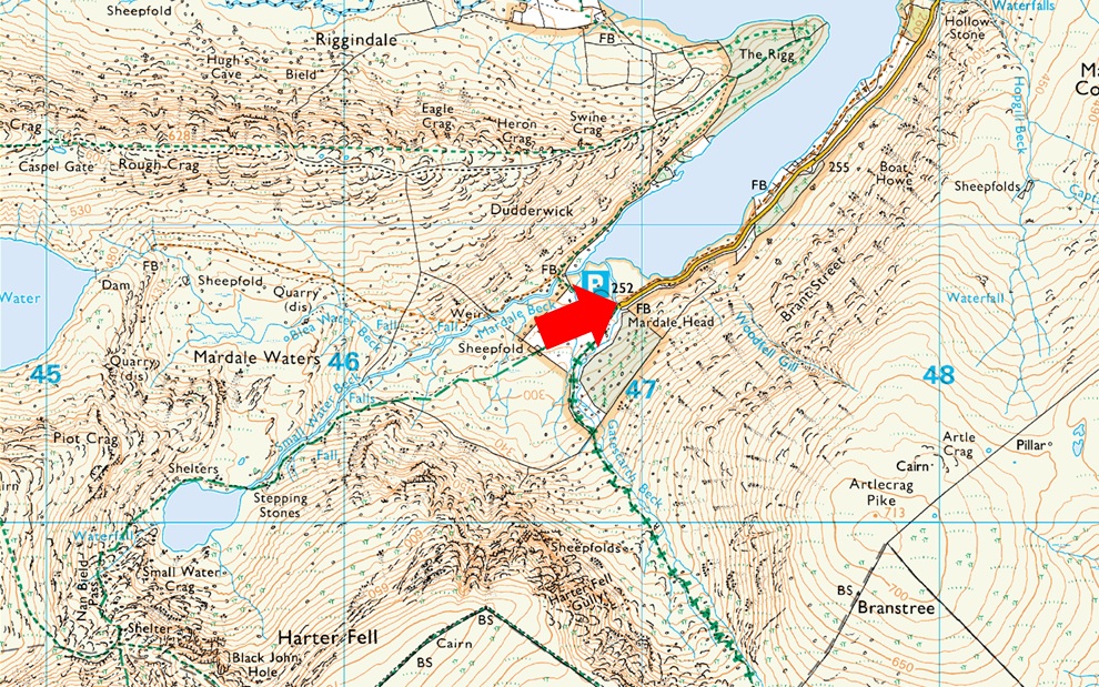
Rain now fell vertically, and I eased off the gas, punishing myself for the panic I'd worked myself in to. Had I overreacted? It felt like it, but during that last hour I had visions of getting stuck similar to the escape I had this time last year when dozens of drivers were forced to sleep in their cars after unforecasted snow had fallen on the county. Heart rate returning to normal, I eased to a crawl and negotiated the bog prior to reaching Bowderthwaite Bridge that spans Riggindale Beck. The Rough Crag ridge was still visible, but it ascended into cloud from Caspel Gate, where it looked to still be snowing. I stopped to take in more views of the Riggindale Valley. Kidsty Pike blended into the white sky, certain of more snowfall. It was incredibly wet underfoot as I left Riggindale behind and rounded The Rigg before beginning my descent into Mardale Head. It was still raining when I got back to my car where I had flashbacks from this morning now overtaken by a warm glow in the pit of my gut. 


Back to top