Loadpot Hill from Roehead

29th March 2025


Overview
Ascent: 1,782 Feet - 543 Metres
Wainwrights: 3, Arthur's Pike - Bonscale Pike - Loadpot Hill
Weather: Overcast Throughout With Strengthening Winds. Highs of 9°C Lows of 4°C Feels Like -2°C
Parking: Roadside Parking, Rowhead
Area: Far Eastern
Miles: 9
Walking With: On My Own
Ordnance Survey: OL5
Time Taken: 3 Hours 45 Minutes
Route: Roehead - Barton Fell - Arthur's Pike - Swarth Beck - Bonscale Pike - Loadpot Hill - High Street Roman Road - The Cockpit - Roehead
 

Parking Details and Map
Nearest Post Code: CA10 2LT
Grid Reference: NY 478 523
Notes: There is roadside parking at Roehead just outside Pooley Bridge with room to park up to ten cars. This is a really popular spot to start a walk with Arthur's Pike and Heughscar Hill close by. Finding Roehead is pretty much straight forward just head straight through Pooley Bridge, slight right at the Church until you arrive at a T Junction, head straight on for about half a mile before arriving at the Roehead. Parking is free.


Map and Photo Gallery


Roehead Daffodils 07:00am 4°C

Early spring has brought some much welcome sunshine frustratingly, during the course of the week only for it to cloud over come weekend. Todays forecast was meant to be a mix of sunshine and cloud before rain would arrive after midday but I only got the latter. Tomorrow looks much brighter but unfortunately I have plans. The east of the park had the more promising forecast which steered me to this corner of Lakeland visiting three fells that I haven't visited for nearly four years, I just don't know where the time goes.

I had witnessed a lovely sunrise during my drive north and the forecast was looking promising but the sun had climbed into cloud where it stayed for the duration. It was a cool start with just a hint of a breeze in the air and nothing like what had been predicted by the mountain forecasters. The clouds seemed to sail by rather than hurtle. I left Roehead kitted up for a cold day on the fells wearing my lined Mountain Equipment walking trousers that I thought I'd put away with the arrival of Spring. After passing through a wooden gate I joined the track towards Moor Divock its eroded rutts more prominent than I'd remembered.


Barton Fell and Arthur's Pike from the track above Roehead.
The track climbed steadily until I arrived at this trod that cuts through the moorland, had I known how wet it was down there I'd have definitely gone for the higher drier option further up but it was too late once I'd committed.

Sheep posing on White Knott (Barton Fell)
Despite the lack of rain over recent weeks the moorland held onto water like a big fat sponge soaking my boots lace deep at times until I reached the lovely grassy slopes of White Knott where I was met by a much cooler wind and a drop in temperature. I had previously removed my hat folding it neatly in my jacket pocket until this point...The freindly gal didn't seem to mind the wind though.

Views across Ullswater towards Hallin Fell and Gowbarrow Fell.
As you can see its a pretty grey day with the cloud struggling to lift from the Helvellyn range over on the left.

Arthur's Pike summit.
It was the little red pebble that got me which had a paw print painted on it with 'Barney 2013 - 2024' The handwriting looked like it had been written by a child. I'm off to Bonscale Pike now.

Ruined building, top of Swarth Beck with Arthur's Pike in the distance.
From Arthur's Pike I steered left to link up with the High Street Roman Road then after I fork right and follow a high level trod around the top of Swarth Beck.

Ullswater from Bonscale Towers.
I had been passed by a fell runner and his spaniel as I began my ascent on Bonscale Pike the dog clipping the heels of its owner its ears flapping in the strengthening wind at which point I thought about my two spoiled Westies back home who were probably still asleep!

Looking towards the Northern tip of Ullswater.
With Dunmallard Hill in the distance.

And North Westerly towards Little Mell Fell and Great Mell Fell.
With Little Meldrum and Great Meldrum seen to the left.

Another view of Ullswater.
With distant views of Blencathra and Skiddaw.

Sunshine streaks through.
With Bonscale Pike behind me I picked up the grassy trod on Swarth Fell while heading towards Loadpot Hill from where I caught the only glimpse of sunshine I'd see all morning, here looking towards High Dodd on Place Fell ... if you squint you might be able to make out a skittering of snow on Helvellyn's summit in the distance.

Looking back on Arthur's Pike.
It was along here that I passed by two young lads who enthusiastically asked if I was enjoying the views, which, despite the greyness of the morning, I actually was, alone with the solitude.

Swarth Fell, Bonscale Pike and Arthur's Pike from the ascent of Loadpot Hill.
I had all intentions of circling around the back of Loadpot Hill which meant leaving the path for a pathless ascent - that was until I had a change of mind when I passed a narrow trod linking Swarth Fell with Loadpot Hill where I was passed by two fell runners on route to Bonscale Pike.

Loadpot Hill summit 09:10am.
The initial steepness of the hillside gave way for the summit shoulder from where the trig point only came into view from the last fifty yards. This morning the trig point was occupied by a Raven who scarpered as I approached. After a few moments I had a wander over to the site of a wild camp where David and I camped back in June 2021 - northing had changed and for a moment I was taken back to that warm summer evening.

Arthur's Pike from the Boundary Stone, Loadpot Hill summit.
From our old camp spot I retraced my footsteps before steering right to visit the boundary stone on the northern edge of the summit. This boundary stone would be one of three I will pass during my walk back to Roehead via the High Street Roman Road.

Lambert Lad.
Found close to Loadpot Hill Lambert Lad is a boundary stone. It names derives from lad or boy which is often referred to as boulders and crags, as in Ladstone.

Here's another boundary stone I passed.
Marked BP on the 1:25 000 map meaning boundary post or plate

Pile of stones/boundary stone with Heughscar Hill in the distance.
This pile of stones does in fact look like a boundary stone but it doesn't appear on the 1:25 000 scale map.

The Cockpit Stone Circle, Moor Divock.

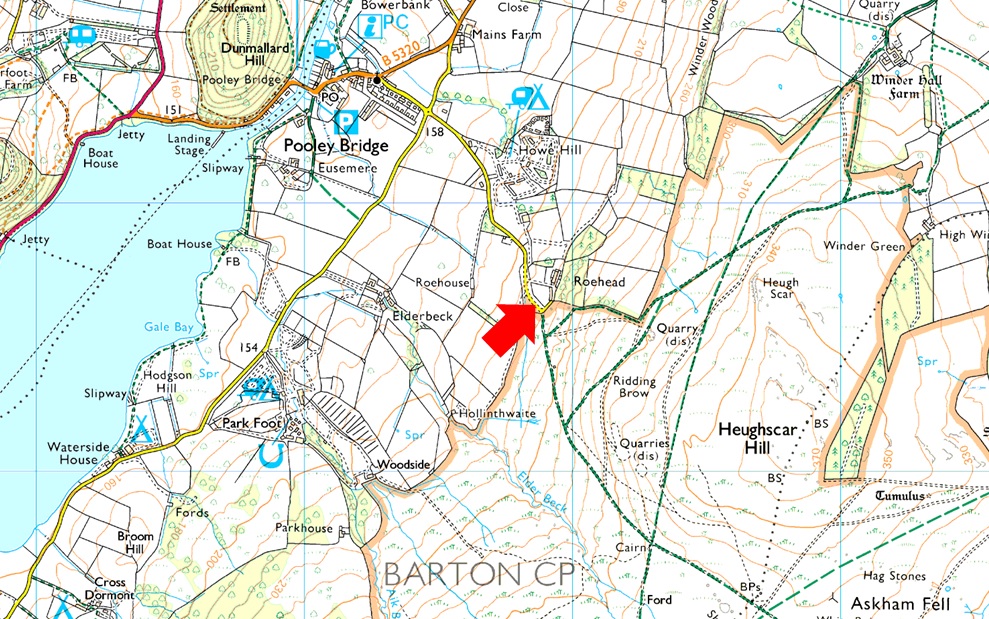
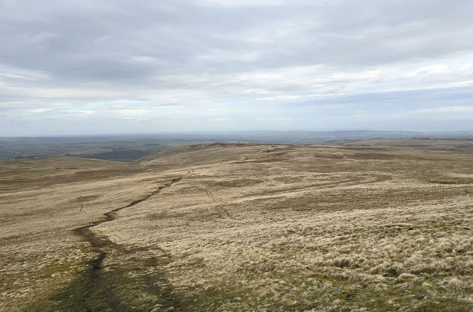
The wind has strengthened for my descent to The Cockpit Circle. Adding to this was the boggy ground underfoot. I could see quite a few fell runners and walkers alike heading from Roehead and indeed from the direction of Askham, all making their way towards Arthur's Pike, and with just two hours before the rain arrived, I hoped they had packed waterproofs. One particular chap stopped me prior to reaching the stone circle to ask if the bogs eased. I replied they did the higher onto the ridge he got, "You must have started early," he asked, "Aye, 7am." In hope of some sunshine, I smiled back. 7am, he replied, I'd just got out of bed then.

We bid each other to enjoy the rest of our day before I arrived at the stone circle, where I stopped for a quick photo before a couple and their two retrievers arrived. On the last stretch I was passed by dozens more walkers, so many I lost count, but oddly, Roehead didn't reflect how busy the hill was. Glancing back towards the distant Helvellyn range the cloud had lowered and was spreading north. Just under nine miles in less than four hours shows how good the terrain is up here; a few bright spells would have been nice, but it's not all about the sunshine in this little corner of Lakeland.


Back to top