Greendale Round

2nd August 2025


Overview
Ascent: 2,400 Feet - 731 Metres
Wainwrights: 3, Middle Fell - Seatallan - Buckbarrow
Visiting: Glade How
Weather: Warm & Sunny, Cool Breeze Across The Summits. Highs of 22°C Lows of 14°C
Parking: Parking Spaces, Greendale
Area: Western
Miles: 6
Walking With: On My Own
Ordnance Survey: OL6
Time Taken: 4 Hours
Route: Greendale - Greendale Gill - Middle Fell - Seatallan - Cat Bields - Glade How - Buckbarrow - Joss Naylor Cairn - Tongue Gills - Greendale Gill - Greendale
 

Parking Details and Map
Nearest Post Code: CA20 1EU
Grid Reference: NY 144 405
Notes: There is a room for around half a dozen cars next to Greendale Cottages, Nether Wasdale which provide perfect access for Buckbarrow and Middle Fell and beyond. The actual parking spaces are to the right of the cottages and not the spaces found in front which are for guests of the cottages only. Parking is free.


Map and Photo Gallery


Caw from from the Birker Fell road.
I had to stop to take this photo of the sunrise over the Dunnerdale valley as I joined the Birker Fell road.

Buckbarrow from Greendale.
Despite the early you could have mistaken Wasdale for mid afternoon with camper vans and tents set up road side as far as the eye could see, if one place in Lakeland has been over popularised these last few years it's poor Wasdale, but in the same breath I guess it's good for local businesses.

Heading for Middle Fell 6:50am 14°C with Broad Crag on Buckbarrow seen left.

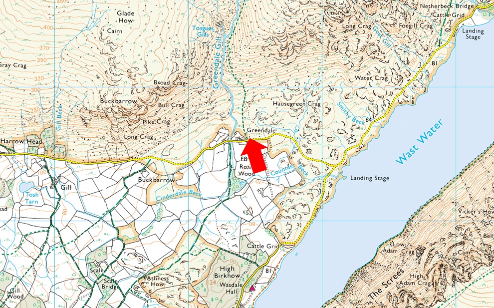
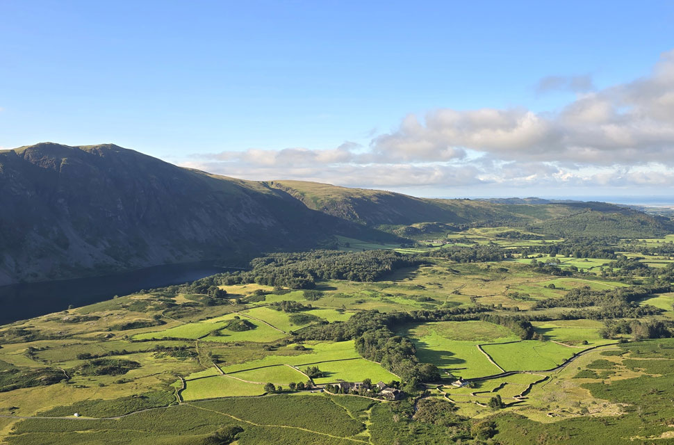
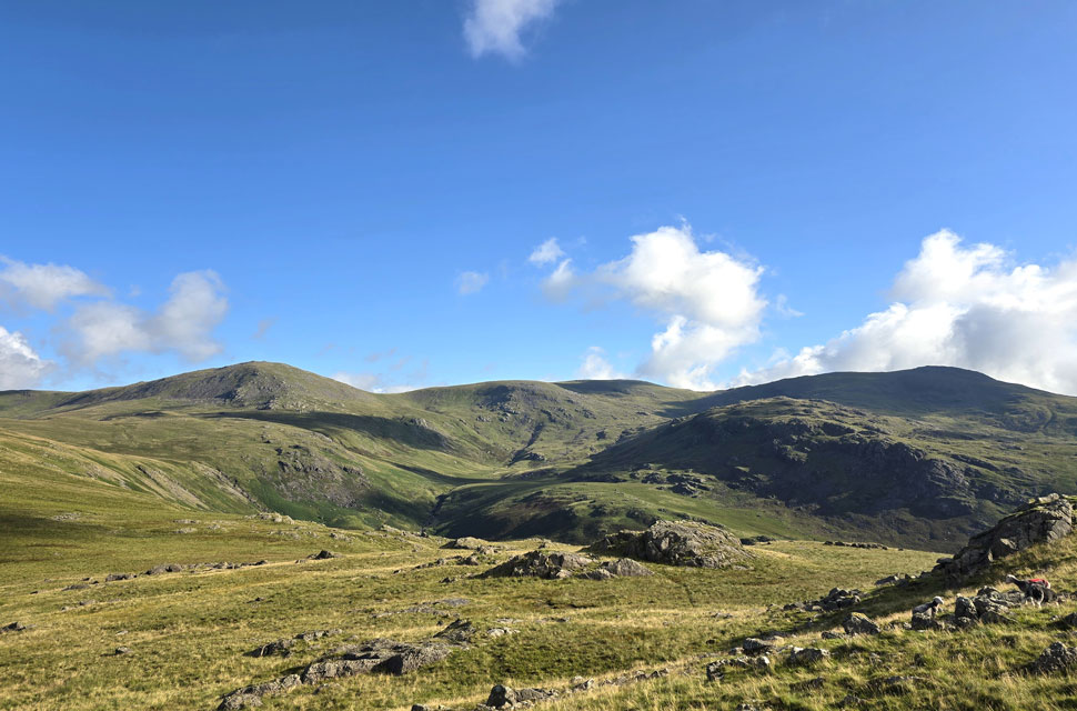
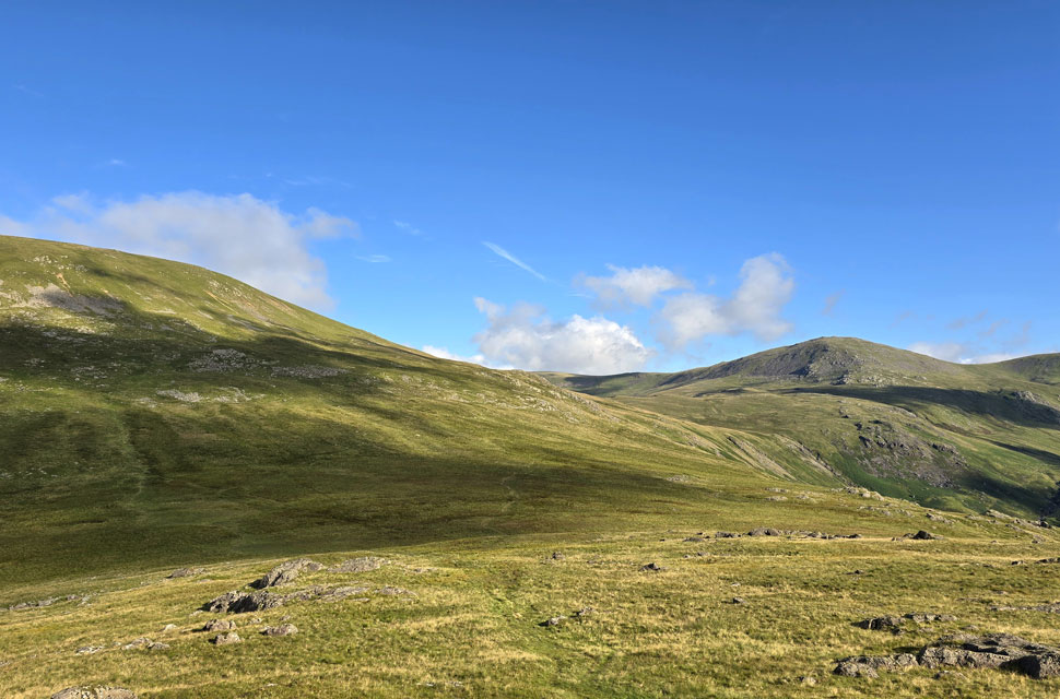
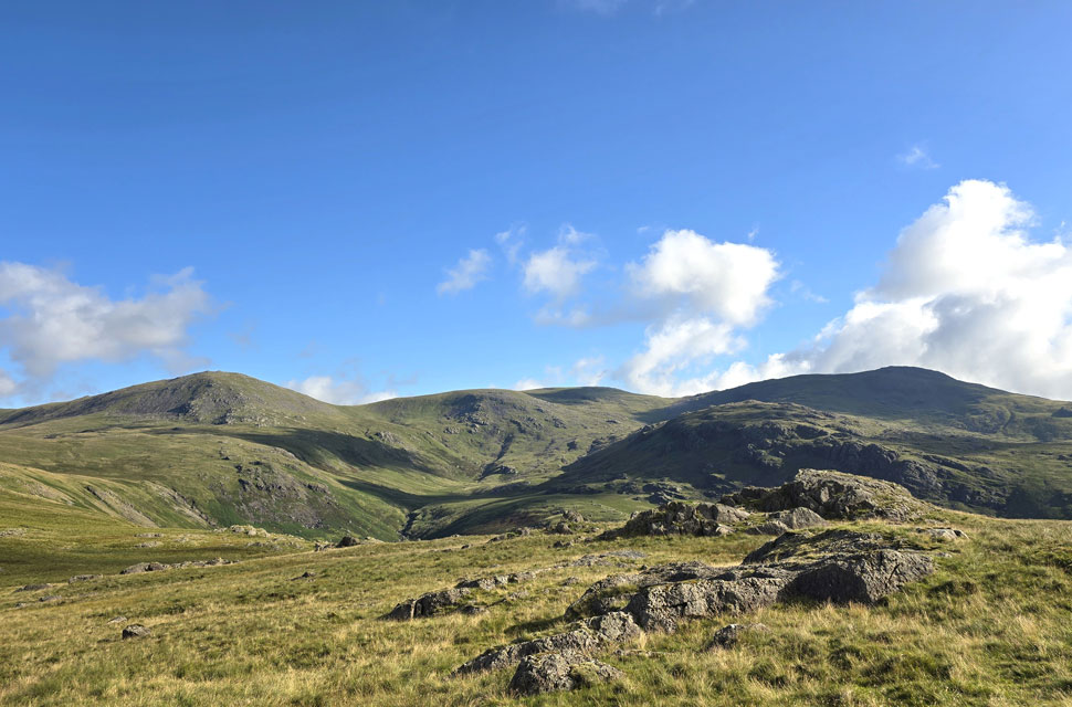
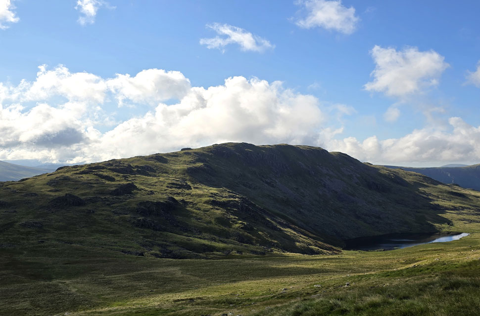
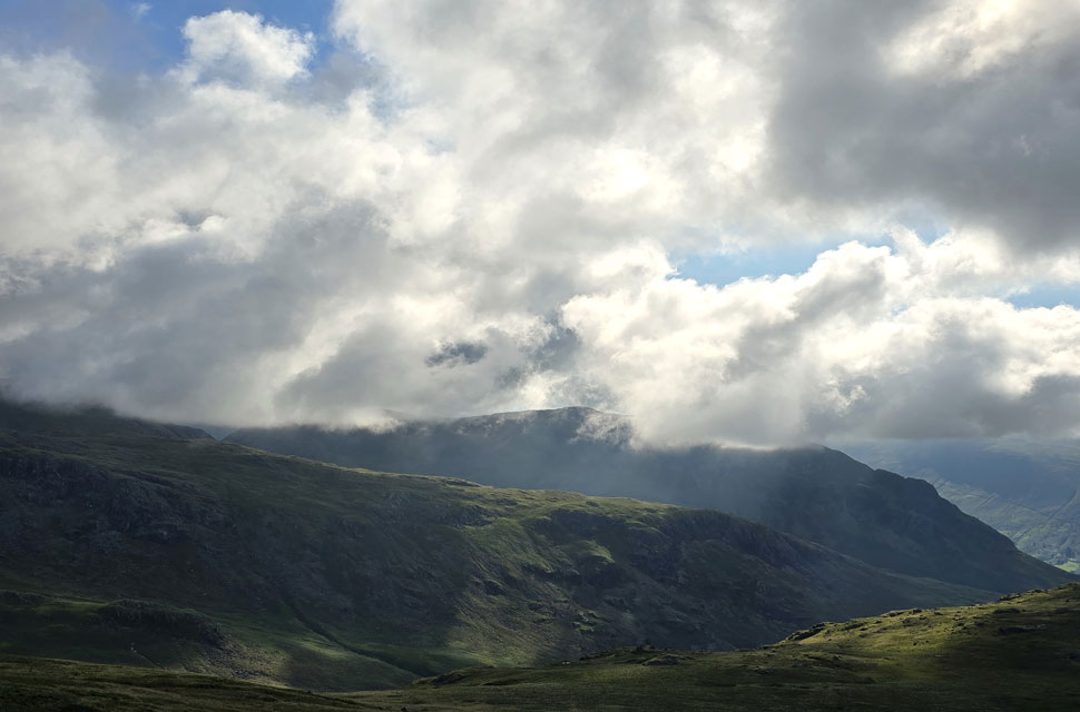
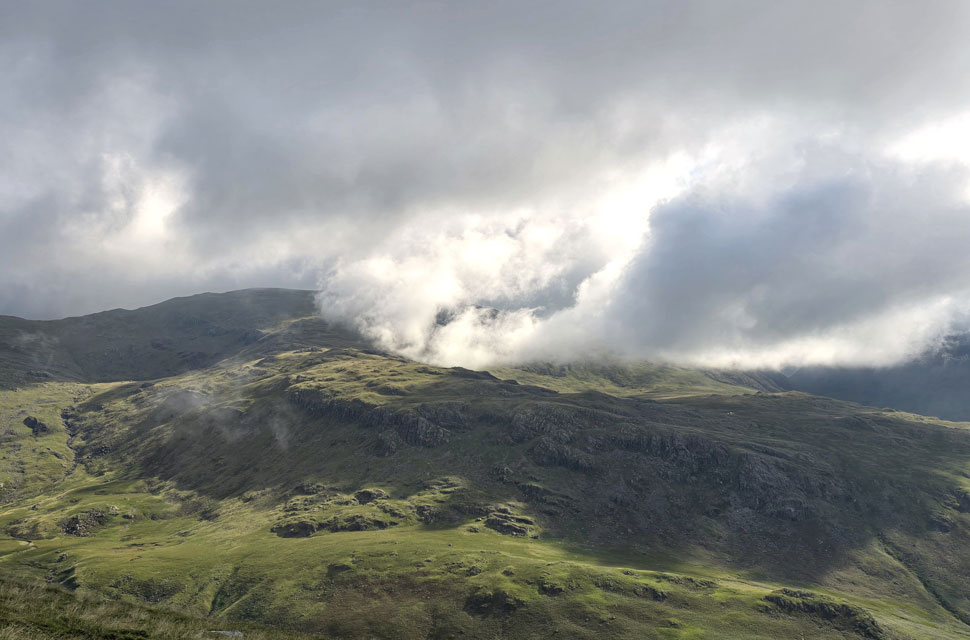
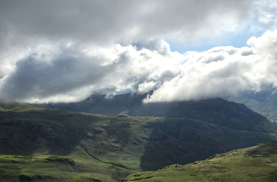
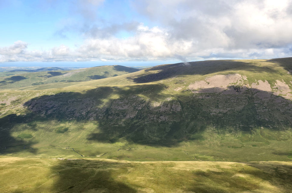
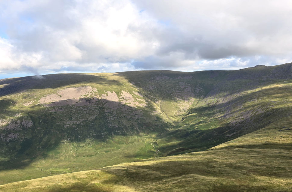
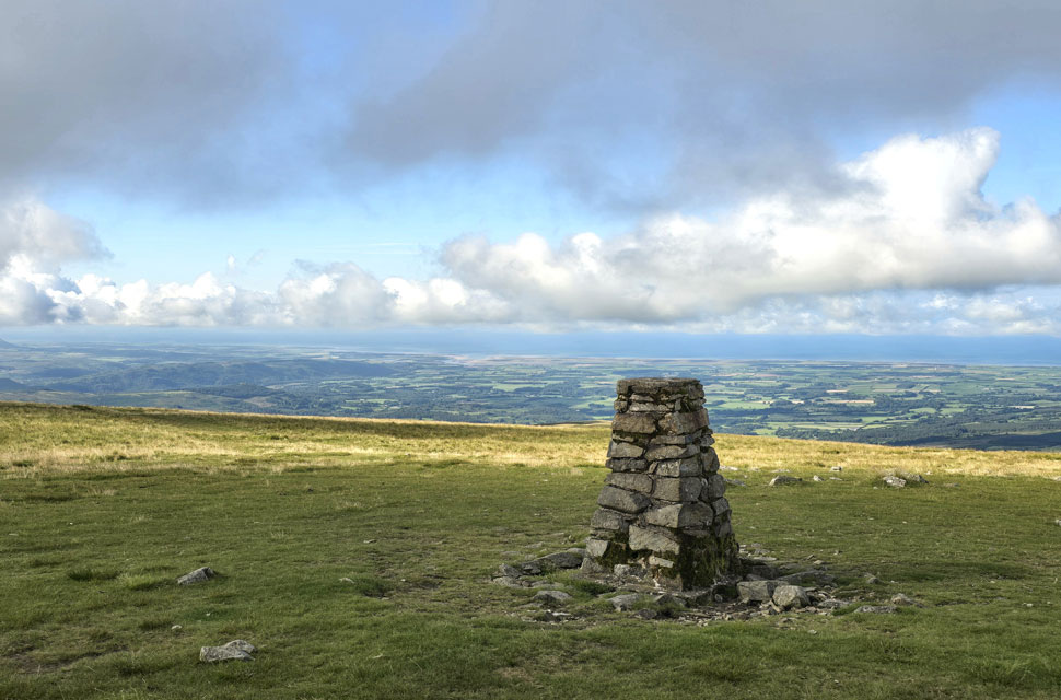
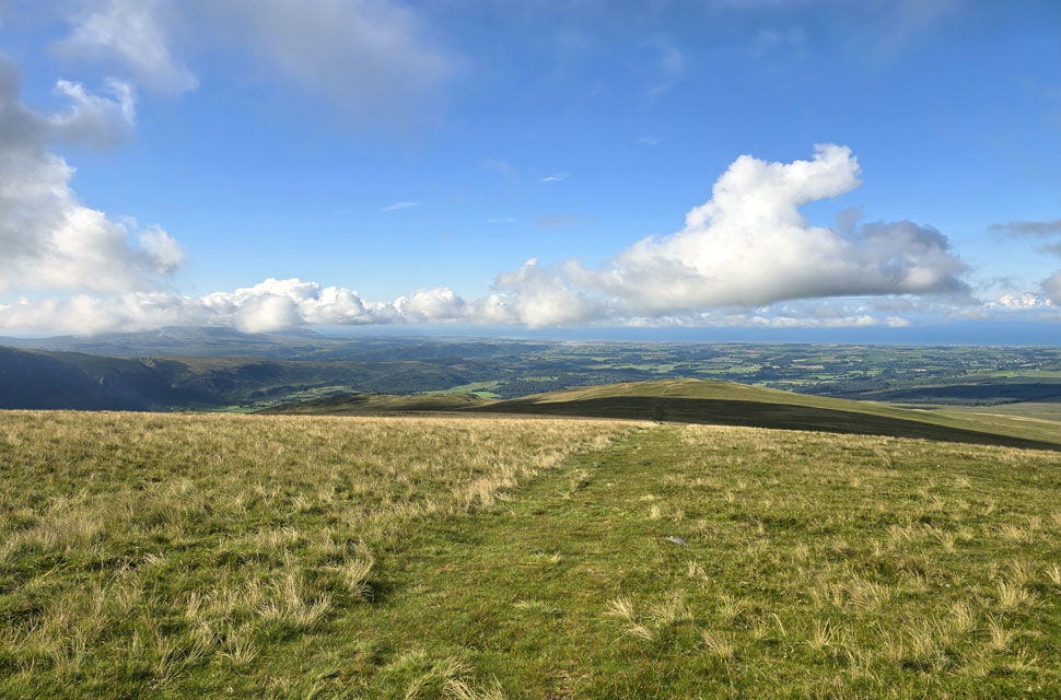
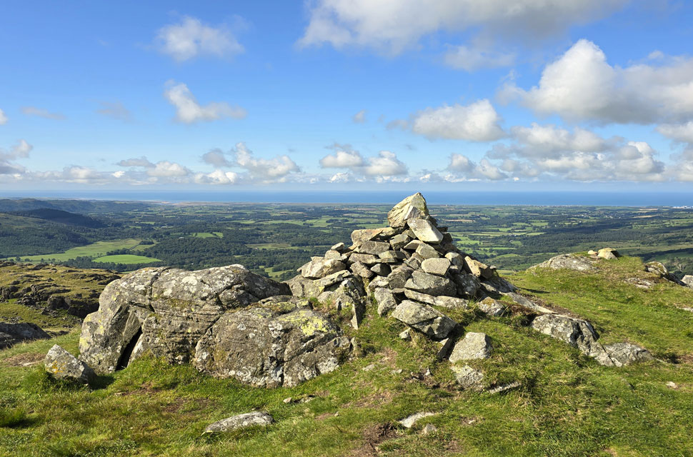
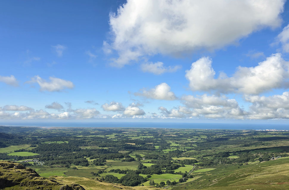
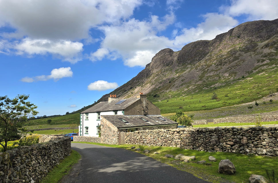
I was only the third car to park up, the other cars occupants appeared long gone which meant I could kit up in peace and quiet a far cry from just half a mile down the road back in Wasdale. I couldn't have asked for a more beautiful start to the walk, the temperature was just right without a cloud in the sky although that is set to change from mid morning with the arrival of high level cloud, by then though, I'll be a good way around.

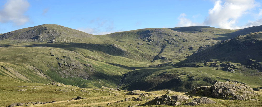
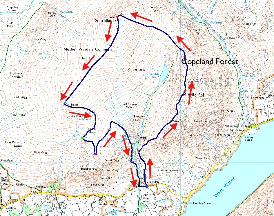
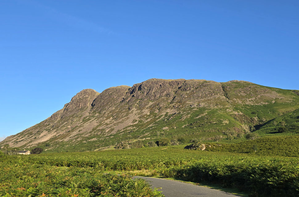
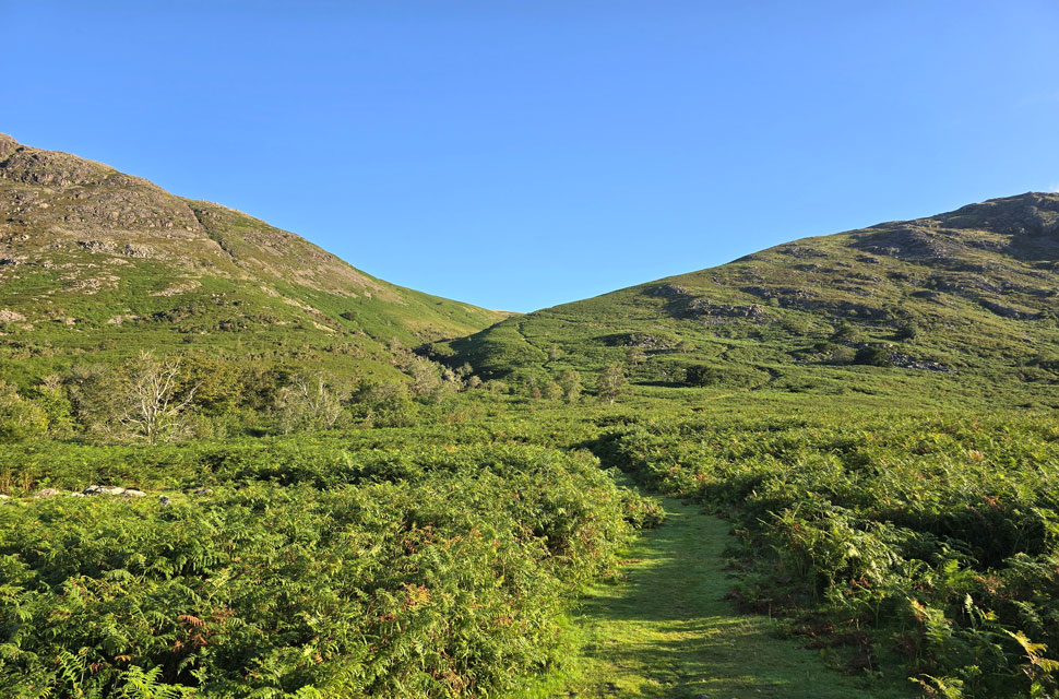
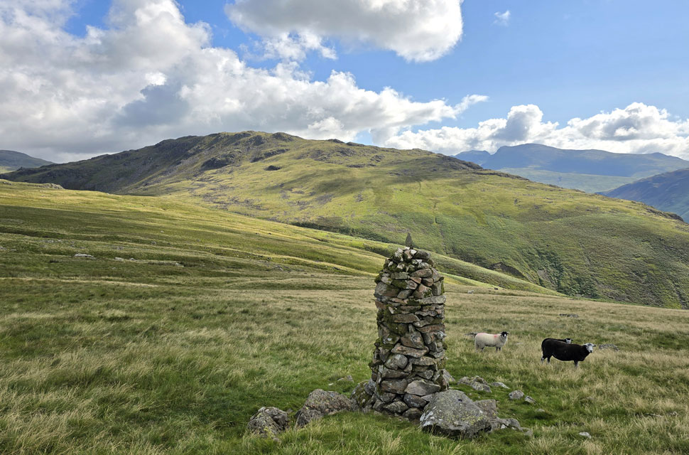
Today is the first walk of a few I have planned for my week off where normally I'd be pulling that extra mile but with Paula away for the weekend I've left Holly and Brad, my two Westies home alone so all being well, I should be back by early afternoon. With the car locked I shouldered my pack and began the lovely walk over carpeted grass straddled by waist high bracken towards Middle Fell.


Looking over Greendale Gill towards Tongues Gills.
Todays walk will see me visit Joss Naylor's cairn which is perched above Tongues Gills just to the left which is also my route of descent on todays walk. In hindsight, had I'd remebered about the high bracken I might have changed route of descent but more on that later.

Views over Greendale towards Nether Wasdale.
With Whin Rigg, Greathall Gill and Irton Pike seen on the left.

Haycock, Scoat Fell and Red Pike (Wasdale) from Middle Fell summit.
The morning temperatures were quickly ramping up so I delayered half the way during my ascent and with height gained I was met by a cool breeze, conditions couldn't have been more perfect and, I was yet to see a soul.

Illgill Head and Whin Rigg seen over Wast Water.
The forecasters had said that the west of the park would be worst affected by early morning cloud, it's about 8:30am and with it being clear on arrival the cloud was a bit of a shock but also a nice addition to the walk.

Lingmell, Scafell Pike and Sca Fell above Wast Water.
Within what felt like minutes the cloud started to build appearing from the north, south and east of the Wasdale Valley.

The view over Nether Beck towards Over Beck and Yewbarrow.
Anyone climbing Yewbarrow right now might be complaining about their lack of sunshine but they're about to get some of the best cloud drama I've seen in a long while.

Looking beyond Nether Beck towards Haycock, Scoat Fell, Red Pike (Wasdale) and Blackbeck Knotts.
I was unsure if the Seatallan was going to be affected by the cloud drama, nevertheless I hurried my descent so I could take in the views and get a few photos before (and if) the cloud arrived.

Seatallan, Winscale Hows, Potts of Ashness and Haycock.
That's Seatallan and its very steep east flank which is where I'm heading next, the area below is notoriously boggy the norm being you get your leather boots soaking wet just in time for the 750ft crawl up to the summit.

Mouth watering views towards Haycock, Scoat Fell, Red Pike (Wasdale)
 

The cloud really is descending on Yewbarrow now.
It's looking more like Mordor but who wouldn't want to be on Yewbarrow's summit right now.

Time out to look back on Middle Fell.
With Greendale Tarn appearing below.

More cloud dramatics over Yewbarrow and Over Beck.
Trouble was everytime I found my pace I was stopping to take in the cloud drama behind me!

Red Pike (Wasdale) is next.
Seen here with Blackbeck Knotts below.

Cloud and sunshine.
While over on Seatallan it's completely cloud free.

Peering over Blengdale towards Caw Fell.
Instead of heading towards the summit trig point I steer right to take in the views over the Blengdale valley with Lang Rigg and Dent in the distance. That cool breeze was getting a little nippier now.

The view towards Brown Band at the head of the Blengdale Valley.
With Caw Fell seen left and Little Gowder Crag over on the right. If the walker wants to cut across the head of the valley via Brown Band and onto Caw Fell there is a path but it's pretty rough underfoot with a steady climb emerging over to the left of where Little Gowder Crag is seen,

Seatallan summit trig point.
With distant views of the Cumbrian coastline beyond.

Now for the best bit...the descent from Seatallan to Cat Bields.
I had some bad news last night about the loss of a friend who I grew up with through Primary School and into Secondary School, it wasn't intentional but my mind drifted back to our younger days when we used to walk to School together, play and go train spotting until all hours. As in life you lose touch and before you know it your reading about your friends death on social media.

Cat Bields summit cairn with the Cumbrian Coast in the distance.
It was the most pleasant descent from Seatallan my view of an uninterrupted Cumbrian coastline with warm sunshine on my back ranks up there with one of the best that Lakeland has to offer. Time to head for Glade How now.

The squelchy bit between Cat Bields and Glade How.
My boots had dried off now but it was time to get them wet again with an unavoidable tramp across to Glade How seen with the large obelisk on the right with Buckbarrow summit in shade over to the left.

Glade How summit.
From Glade How Buckbarrow it's just a short hop away.

Looking back on Seatallan from Buckbarrow summit.
The short stretch between Glade How and Buckbarrow can be equally wet but today the boggy bits were mostly avoidable.

A sausage roll or two with a view.
Buckbarrow summit was soon reached and to celebrate I scoffed down a couple of sausage rolls to keep me going until I get back to the car.

Just look at that view.
After a few minutes spent on Buckbarrow summit it was time to turn my back on this wonderful view before making my way towards the Joss Naylor cairn.

Middle Fell from the Joss Naylor cairn.
An easy diversion off path leads up towards the Joss Naylor cairn which was rebuilt by Joss back in 2002 - Although this cairn is commonly known as the 'Joss Naylor cairn' its real name is the Queen Elizabeth cairn built by Joss to celebrate the Queen Mothers 100th birthday.

The Screes on IIIgill Head, Whin Rigg and Wast Water from Tongue Gills.
 

Buckbarrow from Lower Greendale.

It only came to mind that I hadn't seen anyone all route as I began my descent from the Joss Naylor cairn after hearing voices from the direction of Middle Fell now on the other side of Greendale Gill, just voices no-one in sight. I head too far left only realising my mistake when I spotted the grassy path at the head of a large patch of bracken and I quickly retraced my footstep to meet the path. I could still hear the voices, the sound of a dog barking and even traffic driving through Greendale but these were quickly lost to the sound of cascading water the further I descended. My path weaved steeply through bracken so thick I lost the sight of my boots while my poles trailed across the top of the bracken. Thankfully the thicker patches were few and far between predominently descending over dirt still flanked by waist high bracken on both sides. I spotted a young lad ascending alongside Greendale Gill who after ten minutes or so turned around and began retracing his steps soon realising he'd continued into the gill instead of forking right for Middle Fell. He was the only person I'd seen all morning.

The path levelled, uneven and stoney underfoot as I passed through thicker swathes of bracken eventually giving way above Lower Greendale at the site of two stone doubled sided sheep pens one above the other which clearly Joss Naylor had built. I had made great time almost 4 hours on the hour as I descended towards Joss's former cottage where the serenity of Greendale Gill flowed wide and even. With my boots on tarmac I turned around to take in the view not realising how beautiful it was I hung around a minute or so before being passed by two elderly cyclists who nodded me a 'good morning' That took my count two three people I'd seen the whole morning. More cars had arrived at Greendale but I was the only one there when I arrived back where unusually instead of rushing I took my time taking my fold away chair from the boot making sure I gave the pads of my feet a good rub before heading home. Bet those two buggers are still asleep I thow't.

Dedicated to the memory of Sean Brown 1974 - 2025


Back to top