|
The High Stile Ridge from Buttermere |
 |
 |
6th August 2025 |
 |
|
|
| |
|
Overview |
|
|
| Ascent: |
3,011 Feet - 1,403 Metres |
| Wainwrights: |
3, Red Pike (Buttermere) - High Stile - High Crag |
| Visiting: |
Seat |
| Weather: |
Summit Cloud Slow to Lift, Scattered Sunshine With Moderate Winds at Height. Highs of 17°C Lows of 12°C Feels Like 4°C |
| Parking: |
Roadside Parking, St James Church, Buttermere |
| Area: |
Western |
| Miles: |
8.6 |
| Walking With: |
On My Own |
| Ordnance Survey: |
OL4 |
| Time Taken: |
5 Hours 15 Minutes |
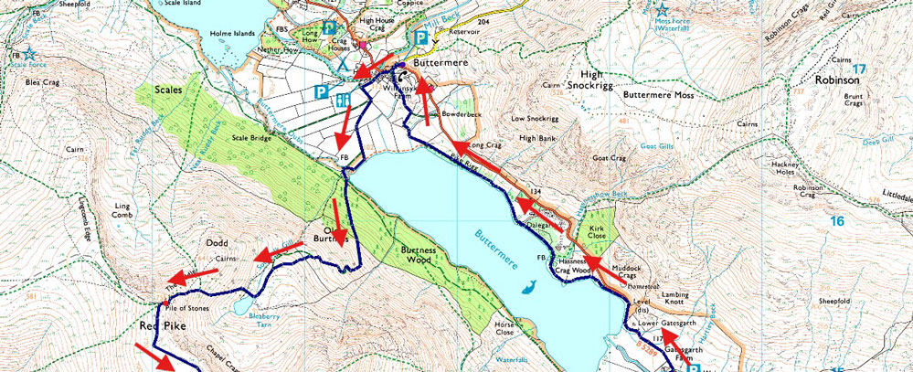
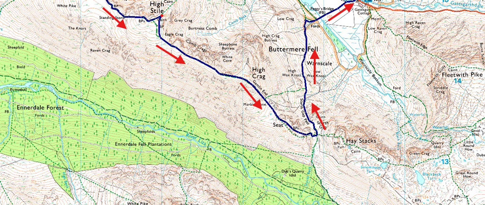
| Route: |
Bottom of Newlands Pass - Buttermere Dubs - Old Burtness - Bleaberry Tarn - The Saddle - Red Pike (Buttermere) - High Stile - High Crag - Gamlin End - Seat - Top of Scarth Gap Pass - Scarth Gap Pass - Peggy's Bridge - Gatescarth Farm - East Side Buttermere Lake Path - Wilkinsyke Farm - Bottom of Newlands Pass |
|
| |
|
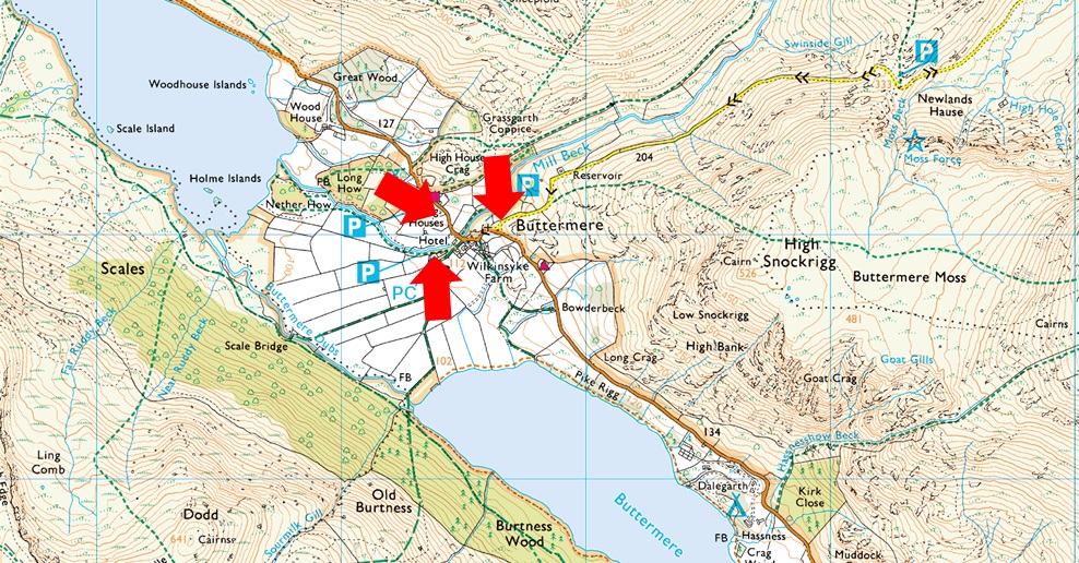
Parking Details and Map |
|
|
| Nearest Post Code: |
CA13 9XA |
| Grid Reference: |
NY 176 317 |
| Notes: |
Buttermere is a fairly small village, and as a result, finding a place to park can be difficult, especially during the Summer months. There is free off-road parking at the end of the Newlands Pass (right arrow) where there is room for around a dozen cars, but being a popular area, these spaces fill up quickly. Parking here is free. The Fish Inn and The Bridge Hotel also have small car parks which are for patrons only. During busier months, Syke Farm Campsite allows parking for non-patrons, but charges apply. |
|
| |
|
Map and Photo Gallery |
|
|
  |
| |
| |
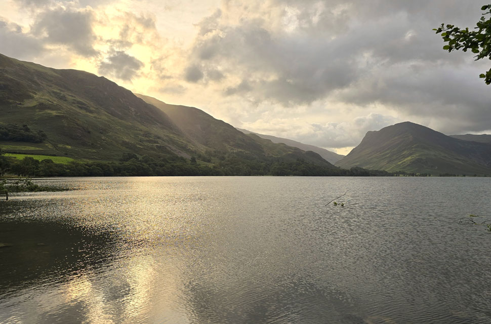 |
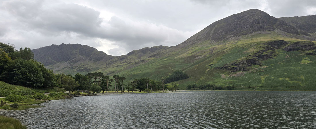
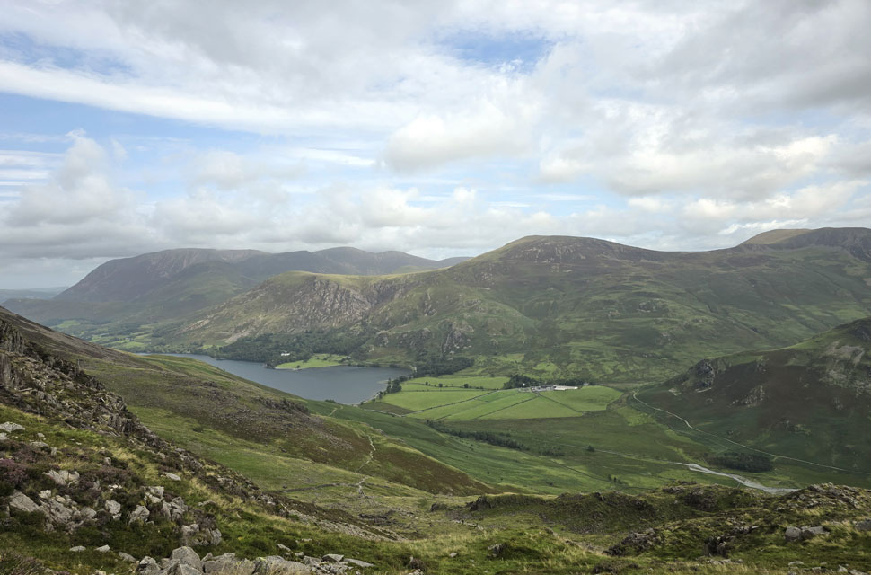
| Looking across Buttermere towards High Snockrigg, Robinson Crag and Fleetwith Pike 7:20am 12°C |
I left home under the cover of darkness, expecting to arrive in Lakeland to a half-decent sunrise, but it wasn't to be, finding cloud cover over the north, northwestern and central summits with limited sun trying to poke through. It was relatively calm here in the valley, but I see cloud scuttling over the summits which took the wind from my sails, pardon the pun. At 7:20am I managed to grab the last parking spot at the bottom of Newlands Pass not quite believing how early it was and that it was also midweek. I kitted up watching the cloud over The High Stile ridge, the silence broken by dozens of baahing sheep and the distant sound of water cascading down Sour Milk Gill which had a soothing effect on me. Kitted up, I locked the car and went to visit St James Church, unaware it was closed due to a damaged roof.
Buttermere was waking up as I crossed the bridge over Mill Beck its white water drowned out by the sound sheep baahing like they were in competition with one another. Ahead a solo walker wearing shorts and T-shirt opens a gate and takes the lane track towards the lake If he's heading onto the fells, somehow I think he's going to be needing more layers if he's heading onto the fell. By the time I arrived at Buttermere Lake the walker was long gone by the time I arrived at the lake shore which I had to myself with the exception of two people next to the footbridge over Buttermere Dubs. As cloud scuttled across the sky faith was restored when it looked like some brightness was due my way after all. |
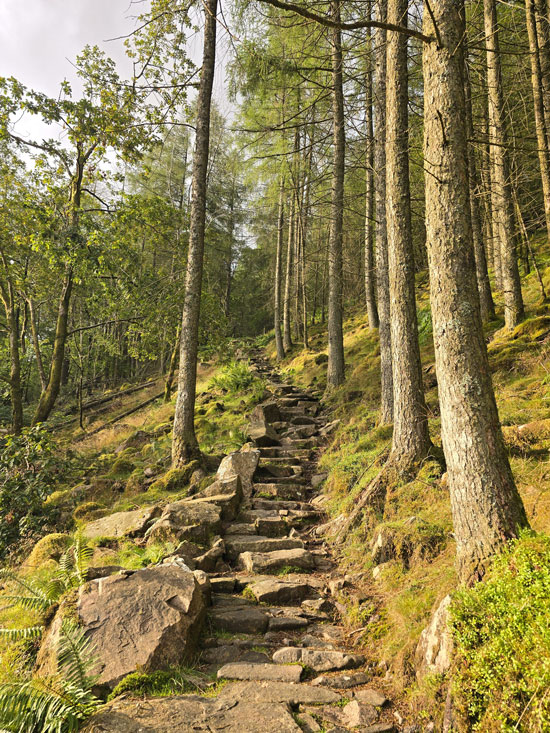 |
| Ascent through Old Burtness woods. |
I left the lakeshore and crossed the field towards the footbridge where I'd seen the couple a few minutes earlier. The young lass was up to her waist in water wearing just a bra while her boyfriend filmed her with his mobile.
None of them flinched as I walked past, but talk about awkward for me. Once over the footbridge, I joined the stone path and began my ascent through Old Burtness Woods. |
 |
| Views north towards Rannerdale Knotts and the Grasmoor group. |
| The stone staircase always gets the lungs going, and this morning was no exception. The air was damp; the humidity ramped up a notch causing me to delayer for now at least. I emerged into a cool breeze which instantly dried the sweat on exposed skin, consequently bringing my temperature down within minutes. |
 |
| Views over Buttermere towards High Snockrigg and Robinson (in cloud) |
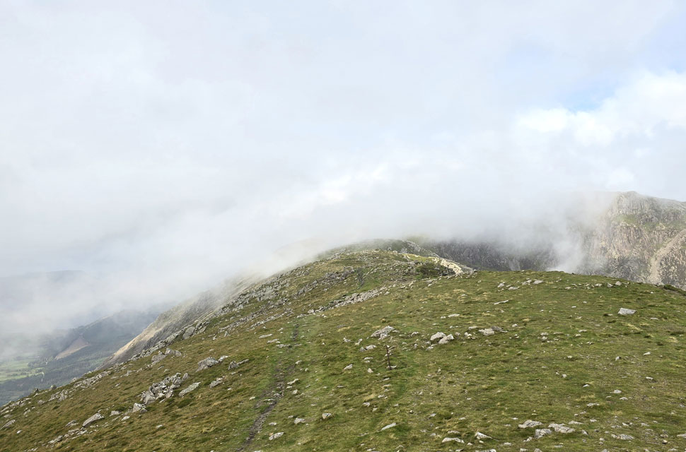
| After passing through the wooden gate at the top of Old Burtness, I joined the stone path where my ears were treated to the sound of cascading water from Sour Milk Gill over to my right. One of the reasons for this walk was to actually gain Red Pike via this path, something that I haven't ascended since 2019 – and although it's a bit of a lung buster, I always enjoy the ascent. |
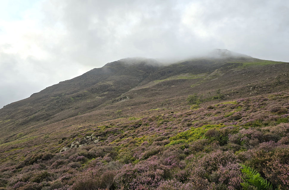 |
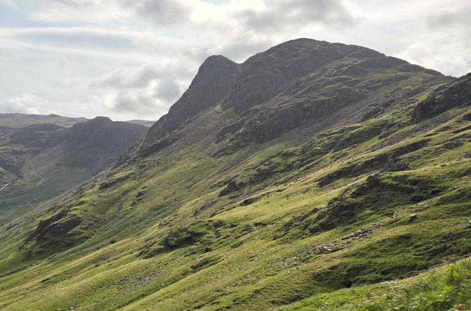
| Looking over the heather clad slopes of High Crag off to my left. |
| The cloud is still lingering and with more height gained it's starting to feel like Autumn up here rather than the beginning of August so on goes my fleece lined windproof jacket. |
 |
|
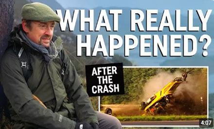
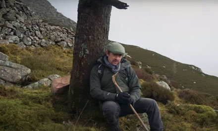
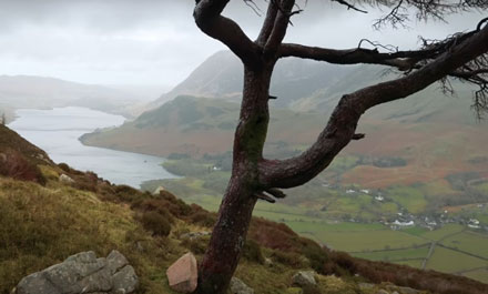
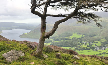
Another reason for today's visit was to try and locate the tree where Richard Hammond spoke about his experience whilst in a coma following a 310mph jet-powered drag car crash back in September 2006.
Richard is a keen fell walker and regularly visits Buttermere. Whilst in his coma he had recurring dreams that he couldn't make it past this tree around the same time that doctors called Richard's then wife Mindy, who went on to play a crucial role fearing Richard wasn't going to pull through. I'd carried out some research on the whereabouts of the tree.
This is obviously a special place to Richard and I think it's best that the location isn't shared.
Click on the You Tube link to listen to Richard's experience. |
 |
| Richard explaining about his coma experience. Image courtsey © What Next? Youtube Channel. |
|
|
 |
| I've watched the video countless times as I do believe there is a spiritual sense to fell walking. My image. |
|
 |
| Image courtsey © What Next? Youtube Channel. |
|
|
 |
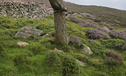
| My image. |
|
 |
| Red Pike (Buttermere) under summit cloud. |
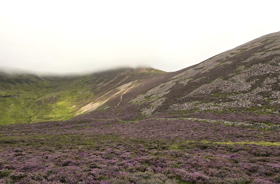
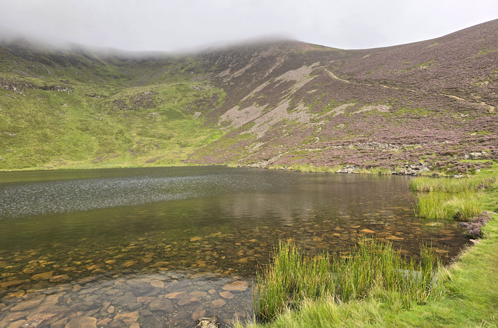
| From the tree I made it back to the path before shouldering the classic hanging valley that forms Bleaberry Tarn, today adorned in stunning heather. |
 |
| The Saddle and Red Pike (Buttermere) from Bleaberry Tarn. |
| The ground underfoot was saturated with streams converging to form Sour Milk Gill behind me. I arrived at the tarn to find two young un's sat on a blanket wearing dry ropes with large packs at their sides; it appeared they had wild camped at the tarn. From the tarn I also spotted three walkers topping out at The Saddle between Red Pike summit and Dodd before disappearing into the cloud. |
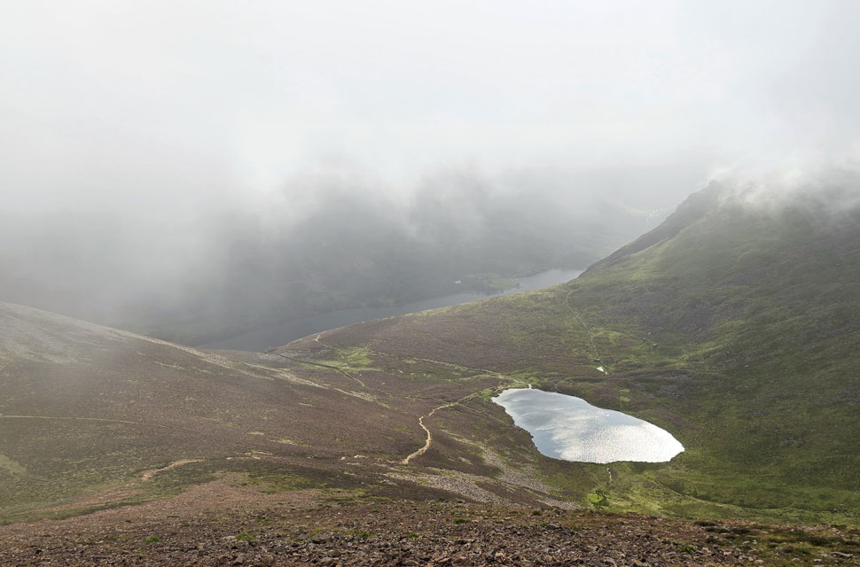 |
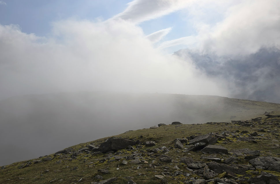
| Looking down into the basin with Bleaberry Tarn in full glow beneath the summit cloud. |
| As quickly as I'd arrived I had left Bleaberry Tarn to begin the climb into the cloud layer towards The Saddle and Red Pike summit thereafter. |
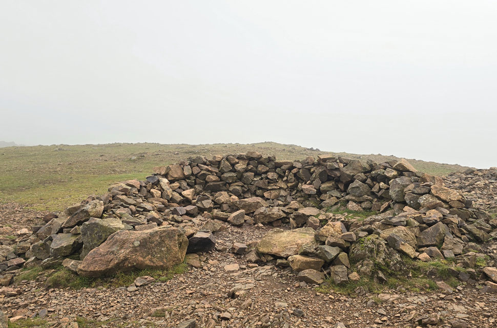 |
| Red Pike (Buttermere) summit shelter. |
| Although steep and very loose, I enjoyed the ascent opting to head left at the base of a familiar gully and skirt round it via a narrower gully, emerging at the summit shelter into a crosswind and a further drop in temperature; needless to say, I didn't hang around. |
 |
| Once the cloud had cleared I was able to take in the view back at Red Pike (Buttermere) |
| I left the summit and was thankful the westerly wind was on my back. Needless to say, exposed skin such as my hands and legs started to lose their colour. 'Jeez, that's a quick way to lose my suntan,' I thought. In places visibility was less than thirty yards until the path flanked Chapel Crags, where for a few seconds the clouds parted and I was able to get a look back on Red Pike. |
 |
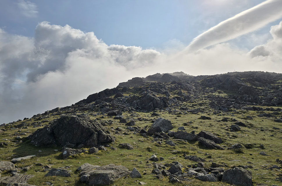
| One of the three walkers appears through cloud on route to High Stile summit. |
| Don't get me wrong. I do like my fair-weather fell walking, but it's not until you experience the parting of cloud on the hill that you think that all fell walking should look like this. |
 |
| It just kept getting better. |
| As I joined the path for High Stile, I ascended over a boulder only for the cloud to part again; this time the sun was shining through. What an amazing view I had for the few minutes it lasted. |
 |
| I look back on Red Pike (Buttermere) |
| It looks like I'm just in the cloud layer, but its elevation changed so rapidly the next minute I could lose visibility. |
 |
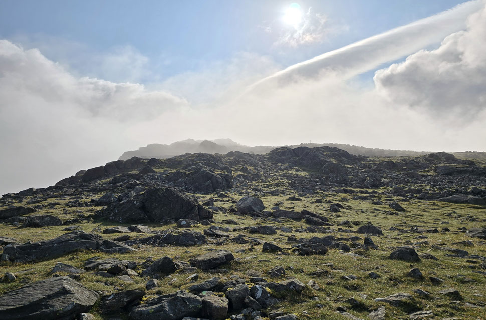
| Ascending High Stile. |
| |
 |
| Almost at the summit. |
| There are cairns dotted all over the summit plateau, which can be confusing, as some of these cairns are large enough to resemble the main summit cairn. The actual main summit cairn is located at the end of the rocky spur seen left at 807 metres. |
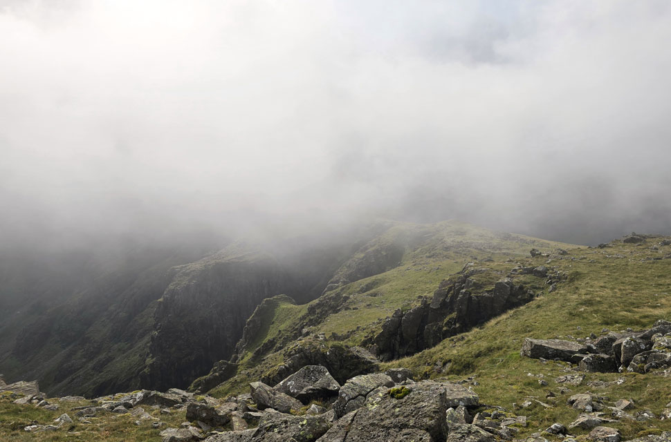 |
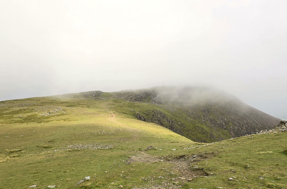
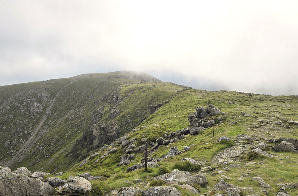
| Descending High Stile with limited views of the classic ridge linking High Stile with High Crag. |
| The cold was getting too uncomfortable, and although I didn't go 'full winter', I did add my hat but was too stubborn to add gloves as we're still in August! I followed a narrow track over the edge of Burtness Comb where for a moment the sun poked through the cloud again, revealing Comb Crags below. |
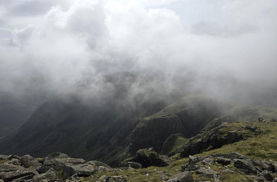 |
| A few seconds later High Crag also appeared. |
| As did the trio of walkers I'd been tailing who by now were standing chatting about halfway along the ridge. |
 |
| Back in the cloud. |
| With High Crag and Fleetwith Pike beyond. |
 |
| Pillar and Pillar Rock through dispersing cloud. |
| |
 |
| Looking back across the ridge towards High Crag. |
| As the cloud continues to pour over. |
 |
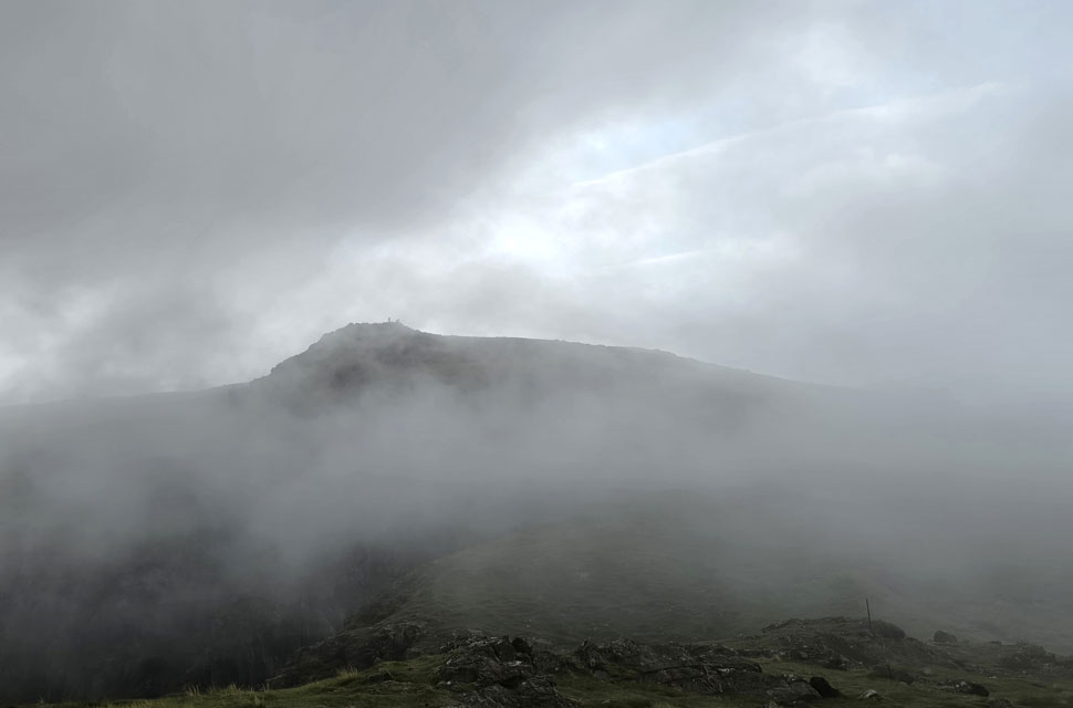
| Almost at High Crag summit now. |
| It looks like I'm about to catch the trio of walkers up who had just shouldered High Crag. |
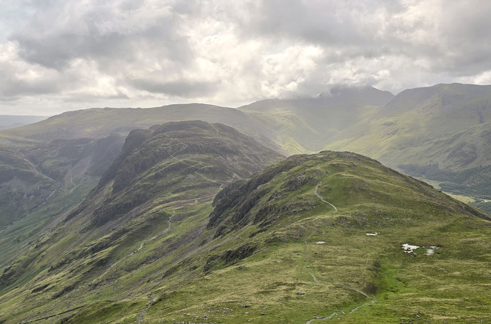 |
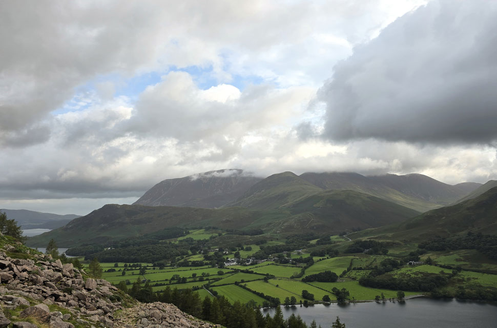
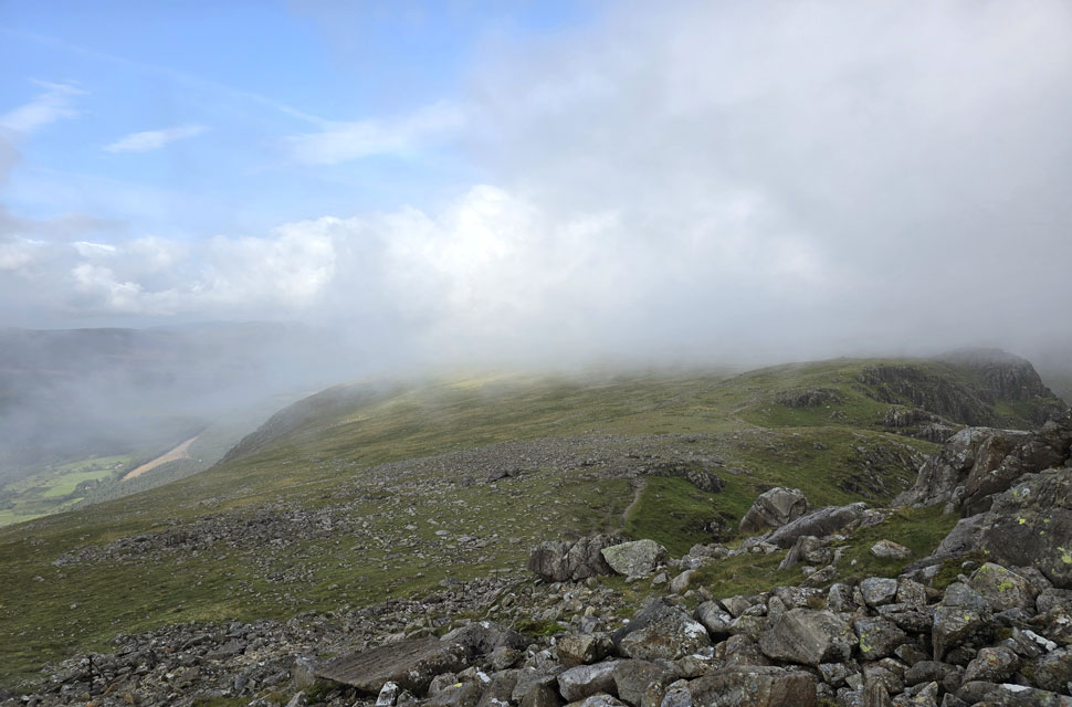
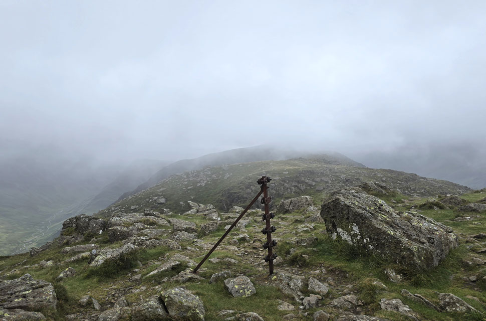
| Views over Seat towards Hay Stacks, Grey Knotts, Brandreth, Green Gable, Great Gable and Kirk Fell. |
| I soon found myself at High Crag summit, expecting to find the trio there, but they'd already begun their descent via Gamlin End below. Although the cloud had parted, it was still blowing a gale, causing my nose to leak like a tap. How I've missed all the snurching that comes with the colder temperatures! |
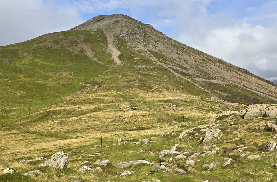 |
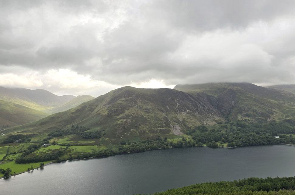
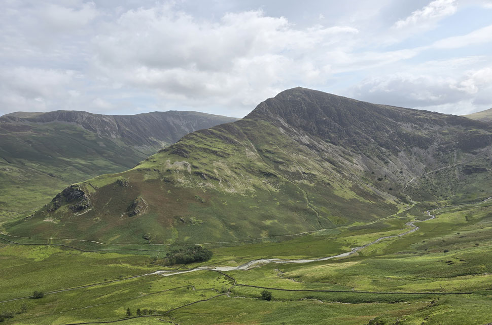
| Looking back on Gamlin End / High Crag from Seat. |
| I was closing in on the trio who unexpectedly left the zigzagged path during their descent for a break, overtaking them with a 'morning'. My descent was quick, concentrating on where I was putting my feet rather than the view ahead, and soon the ground began to level, by which time I was beginning to overheat, so off came the hat. |
 |
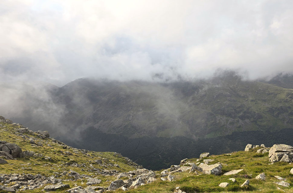
| The view down Scarth Gap Pass towards Buttermere, Hindscarth, Robinson, High Snockrigg and the Grasmoor Group beyond. |
| I was in two minds whether to include Hay Stacks and possibly include Fleetwith Pike too, but once I'd seen the crowds heading up the Scarth Gap Pass, I thought, 'Nah, too busy for me' – after all, it is the school holidays. |
 |
| Hay Stacks and Green Crag from my Scarth Gap Pass descent. |
| |
 |
| Fleetwith Pike and Dale Head seen beyond Warnscale Bottom. |
The temperatures were now in the late teens; passing many a holidaymaker in shorts and T-shirts, I felt over-dressed and delayered to a T-shirt myself, falling back in with the crowds. I must have passed 50-60 heading up the pass, some passing on their mornings, others oblivious to my 'morning', so in the end I stopped commenting until one couple stopped to ask me of my route, which I explained enthusiastically, commenting on how cold it was – but by now the summits had probably warmed up I added. Peggy's Bridge and Gatescarth Farm came into view, as did a field of cars which the farmer had opened up. I had never seen the area as busy as I jostled down the lane, avoiding folk stopping to take photos or chat – it really did feel like a theme park rather than a national park. Business is good for the park, especially for the locals in this area, but you might hear others speak differently. I arrived at Gatescarth Farm to join the tail end of the queue for the ice cream van. Folk were in every direction trying to avoid one another, and the car park opposite was overflowing. I was eager to get out of dodge as quickly as I could.
I joined the B259 which rose over Gatescarthdale. Beck, my calves feeling the pinch such my eagerness to escape the crowds. The east lake path was just five minutes away, but I found myself jostling again for road space between the passing cars and visitors – Buttermere Lake appeared, and as I rounded its eastern tip I joined the lake path and left the crowds behind. I could feel my heart rate returning to normal. 'It's the school holidays, Paul; it's bound to be busy,' but it was an eye-opener nonetheless. High cloud had replaced the summit cloud, and the temperature, less the wind, was ramping up and it was starting to feel like summer again. Whilst children threw sticks for dogs into the lake watched on by parents I eased myself into the two-mile walk back to Buttermere; half of me pleased at the cloud drama I had witnessed, the other half regretting not including Hay Stacks. |
|
| |
| Back to top |
 |
|