|
Blencathra from Mungrisdale |
 |
 |
8th August 2025 |
 |
|
|
| |
|
Overview |
|
|
| Ascent: |
2,850 Feet - 869 Metres |
| Wainwrights: |
3, Bannerdale Crags - Blencathra - Souther Fell |
| Visiting: |
4, Bannerdale Crags East Top - Atkinson Pike - Doddick Fell Top - Scale Fell Top |
| Weather: |
Rain to Start Brightening Up By Midday, Brisk Winds Where Exposed. Highs of 17°C Lows of 14°C Feels Like 4°C |
| Parking: |
Mungrisdale Village |
| Area: |
Northern |
| Miles: |
8 |
| Walking With: |
On My Own |
| Ordnance Survey: |
OL4 |
| Time Taken: |
4 Hours 10 Minutes |
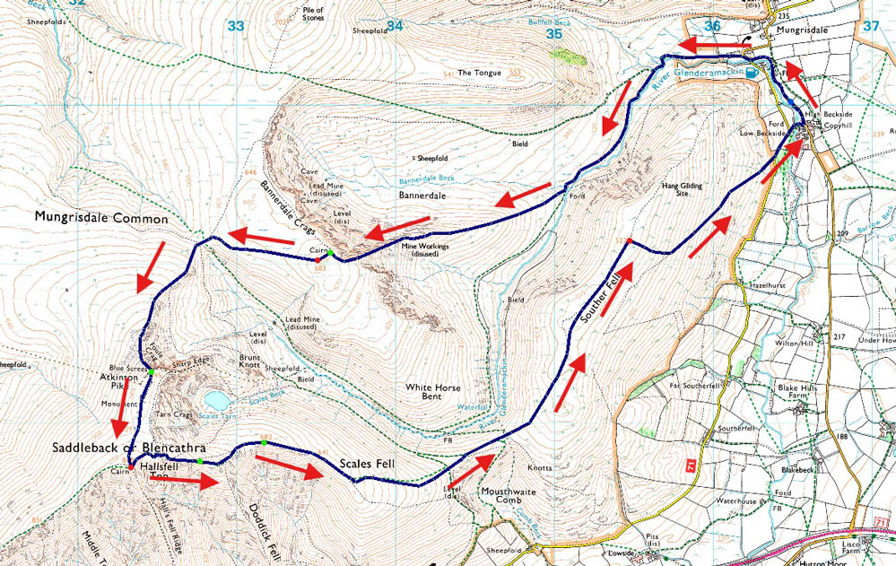
| Route: |
Mungrisdale - River Glenderamackin - Bannerdale Crags East Ridge - Bannerdale Crags - Atkinson Pike - Blencathra - Doddick Fell Top - Scales Fell - Top of Mousethwaite Comb - Souther Fell - Low Beckside - Mungrisdale |
|
| |
|
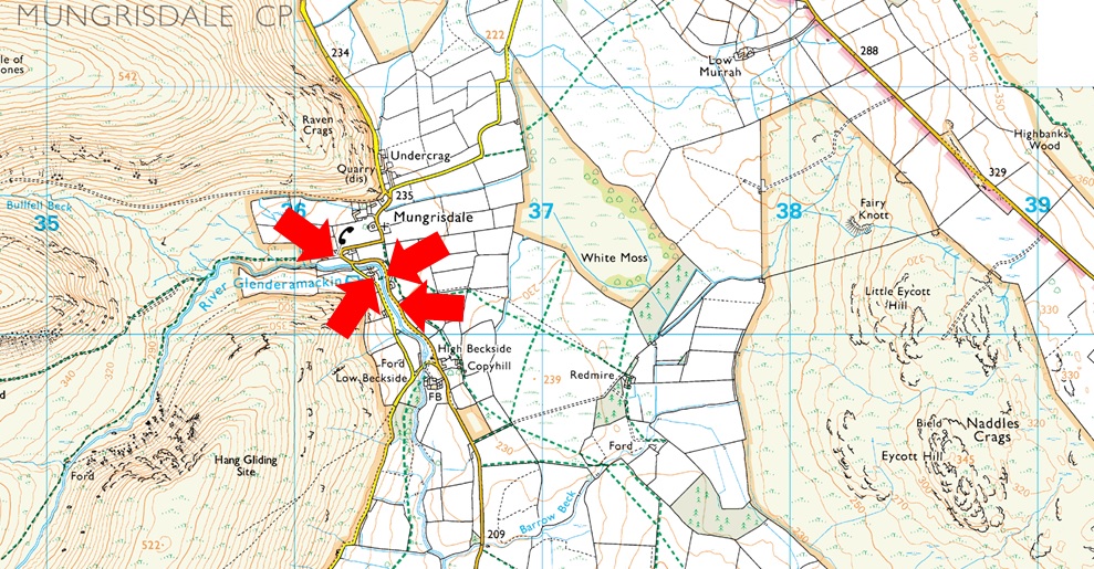
Parking Details and Map |
|
|
| Nearest Post Code: |
CA11 0XR |
| Grid Reference: |
NY 364 730 |
| Notes: |
The village of Mungrisdale is quite a small village with limited parking. The lower right arrow points towards a grass verge on the left prior to entering the village with room for around five cars, parking here is free. The lower left arrow points towards the Mill Inn which has a car park to the rear and is for guests only. The upper right arrow is the main car park in the village which is found opposite the village hall where a sign advises users to use the honesty box outside the village hall. The upper left arrow points towards street parking found at the northern edge of the village, to locate, turn left once the red phone box is reached. |
|
| |
|
Map and Photo Gallery |
|
|
 |
| |
| |
 |
| Bowscale Fell East Ridge from Mungrisdale 9:20am 14°C |
Intially I had planned to walk Fairfield from Grasmere but the forecast favoured the north of the district so I drove to Mungrisdale to walk Blencathra via Bannerdale Crags east ridge and I was a tad surprised to find it was bucketing it down from the moment I arrived. I had a good signal so I checked both the Met Office and BBC forecasts both (for a change) forecasts sunny intervals from 9:00am and into the afternoon, as did the mountain forecast. My wipers said different.
Another car arrived and while I waited for it to stop raining I watched the owner kit up using the tailgate of his car as a shelter before setting off towards the village in full waterproof gear, I sighed how the hell can the forecasters get it so wrong so many times it seemed to be the story of my week off, anyway, I waited another ten minutes until the rain lightened and began my own kit up, I never expected to start todays walk wearing a waterproof jacket. With the car locked I set off towards Mungrisdale and it wasn't long before the skies darkened and the rain began to fall heavier, proper Lakeland rain that arrived in vertical sheets. |
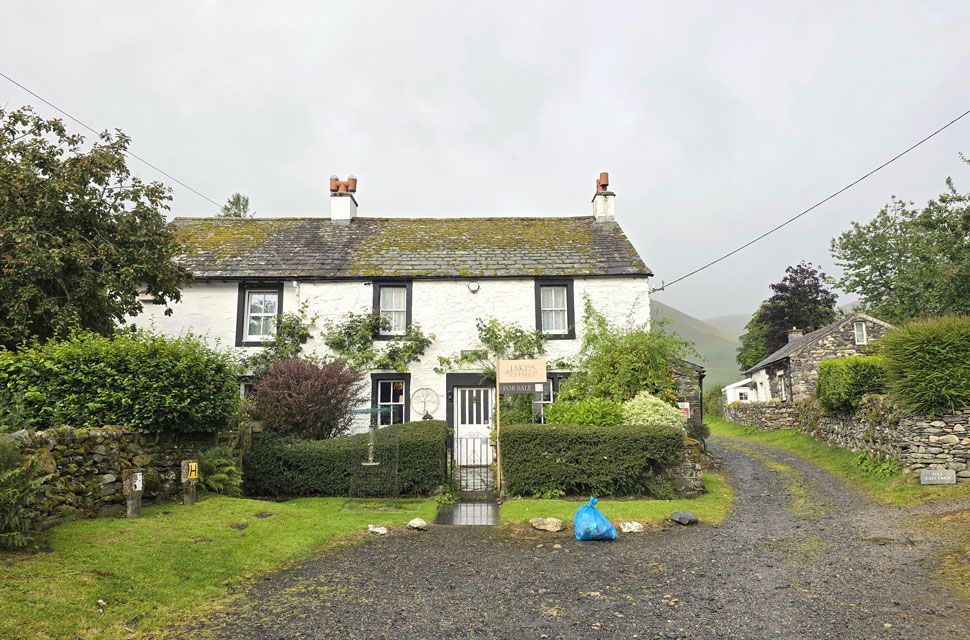 |
| Bannerdale View, Mungrisdale. |
| If you happen to have £795.000 floating about doing nothing. |
 |
| Bannerdale Crags, The Tongue and Bowscale Fell from Mungrisdale. |
| It was still raining cats and dogs when I left the village from where I got this rather murky view of Bannerdale Crags east ridge over on the left, what you can't see are the curtains of rain arriving from right to left - that said I was in good spirits silently thinking if the rain hadn't been forecast then surely it wasn't going to last that long. |
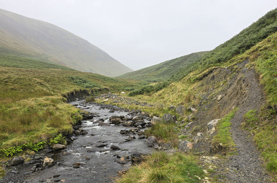 |
| Eroded footpath alongside the River Glenderamackin. |
| With the familiar stone slabs behind me I crossed the Glenderacmackin to be confronted by a 'footpath closed' sign. It was obvious to see why and to be fair it's been like this for years and has been gradually getting worse especially the start of the path which has got so eroded the hill side has given way to the river. |
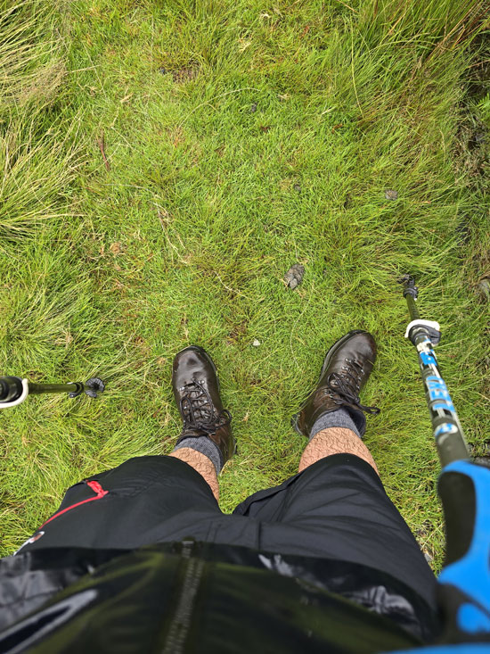 |
| Soaked through. |
| I continued to follow the River Glenderamackin which also had its fair share of bracken I had to pass through, couple this with rain and I was soaked through within minutes. |
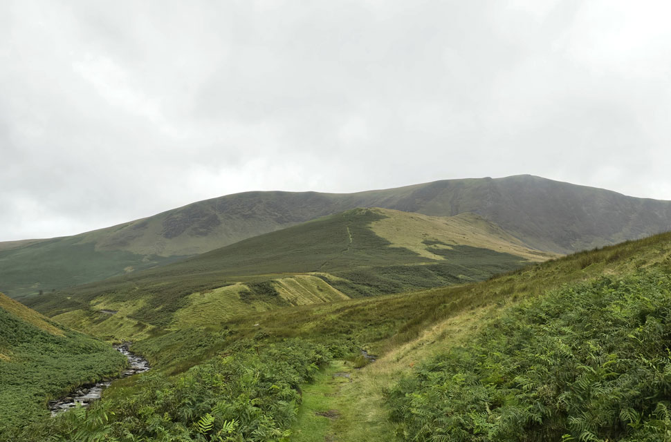 |
| Bannerdale Crags East Ridge comes into view. |
| Even during dry periods this path can we wet and boggy it being so close to the river and it being catchment for the rain to collect as it drains from the nearby fell side. I was hoping and praying my boots would hold out but just half an hour into the walk I could already feel my socks getting damp. |
 |
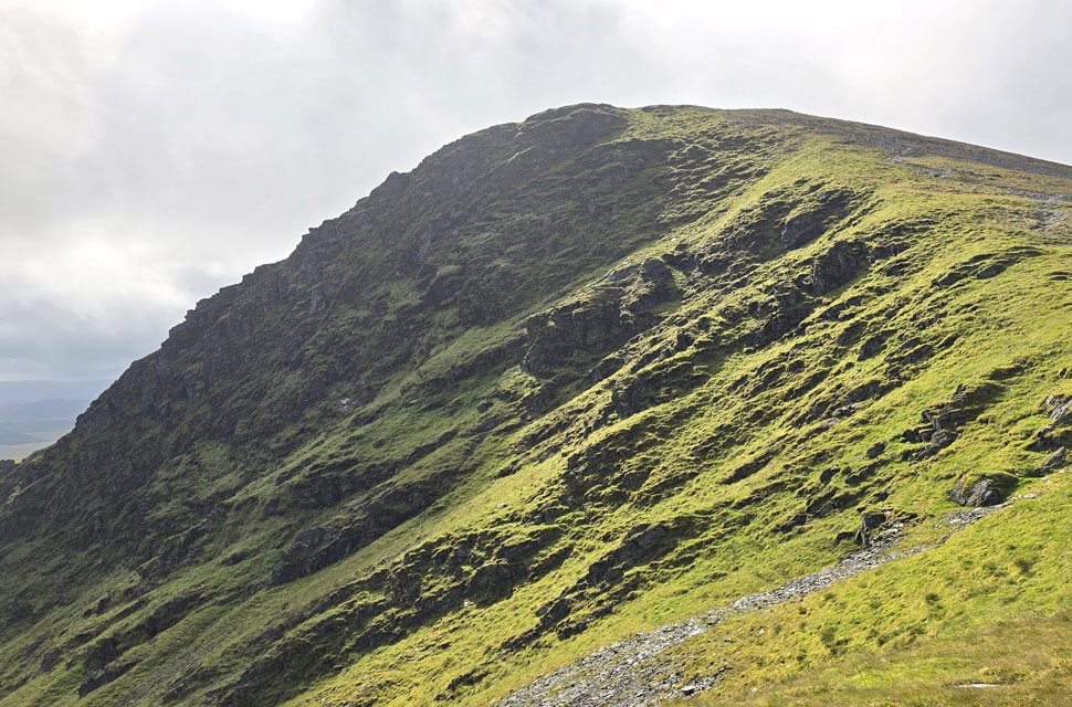
| Bannerdale Crags East Ridge. |
| After crossing the Glenderamackin again I gained the east ridge by means of a steady climb before the ridge began to level off. By now the rain had eased and with more height gained I was met with a gusty wind which, although on the chilly side, would at least help to dry my shorts and jacket. |
 |
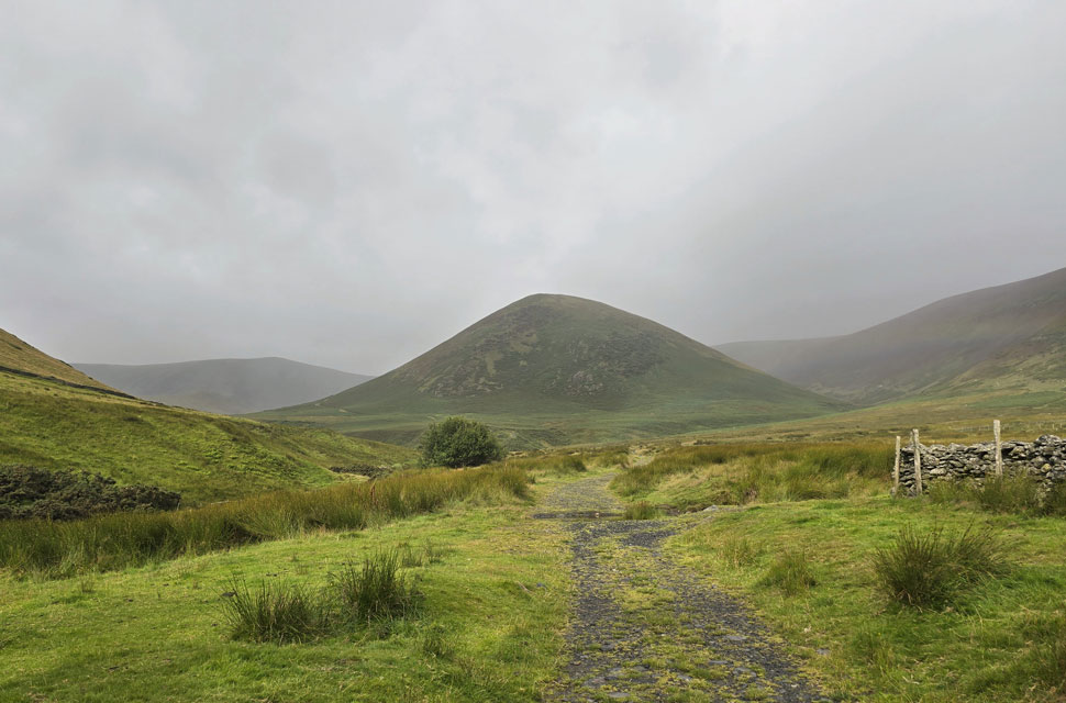
| Views across the head of the Bannerdale valley towards Bowscale Fell. |
| It could be a figment of my imagination but I think it's trying to brighten up. |
 |
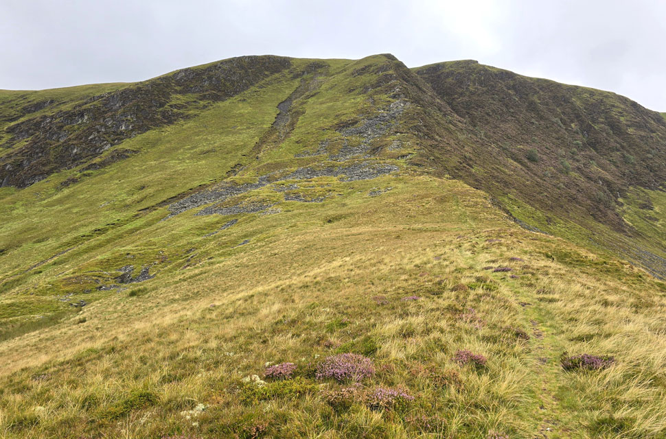
| Bannerdale Crags East Ridge. |
| It's been a while since I last climbed the east ridge always being put off by the wet approach by the River Glenderamackin but with that now behind me I got stuck into the ascent. |
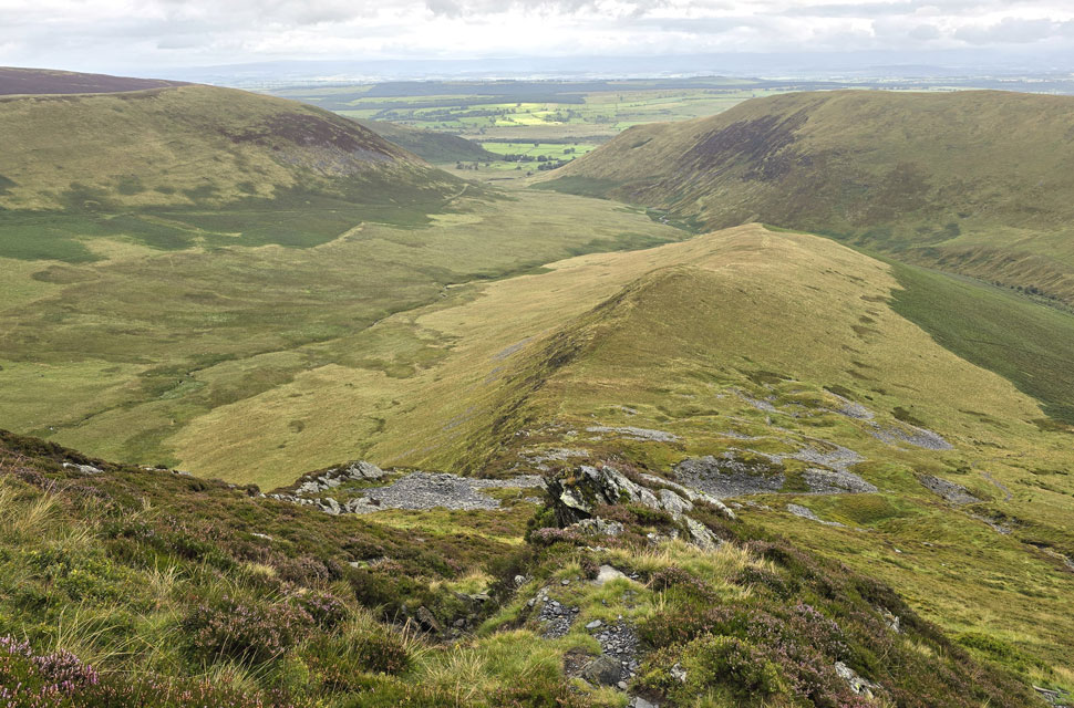 |
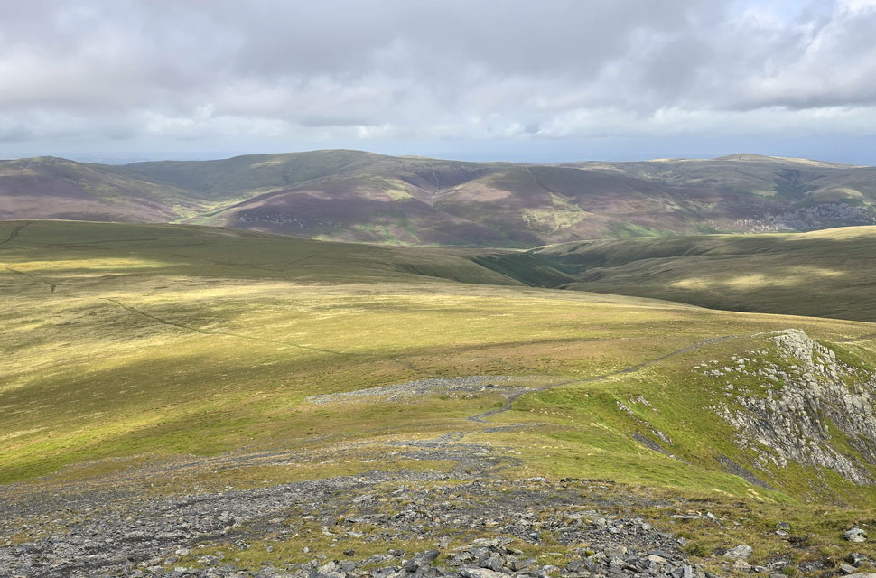
| Looking down on the East ridge. |
| With Bannerdale and The Tongue over on the left and Souther Fell, todays final summit over on the right. |
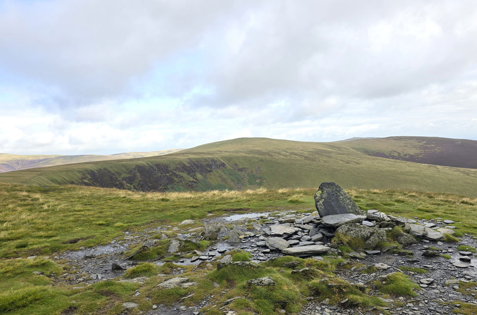 |
| Bowscale Fell and High Pike (Caldbeck) from Bannerdale Crags East Top. |
| The east top having the more substantial cairn. |
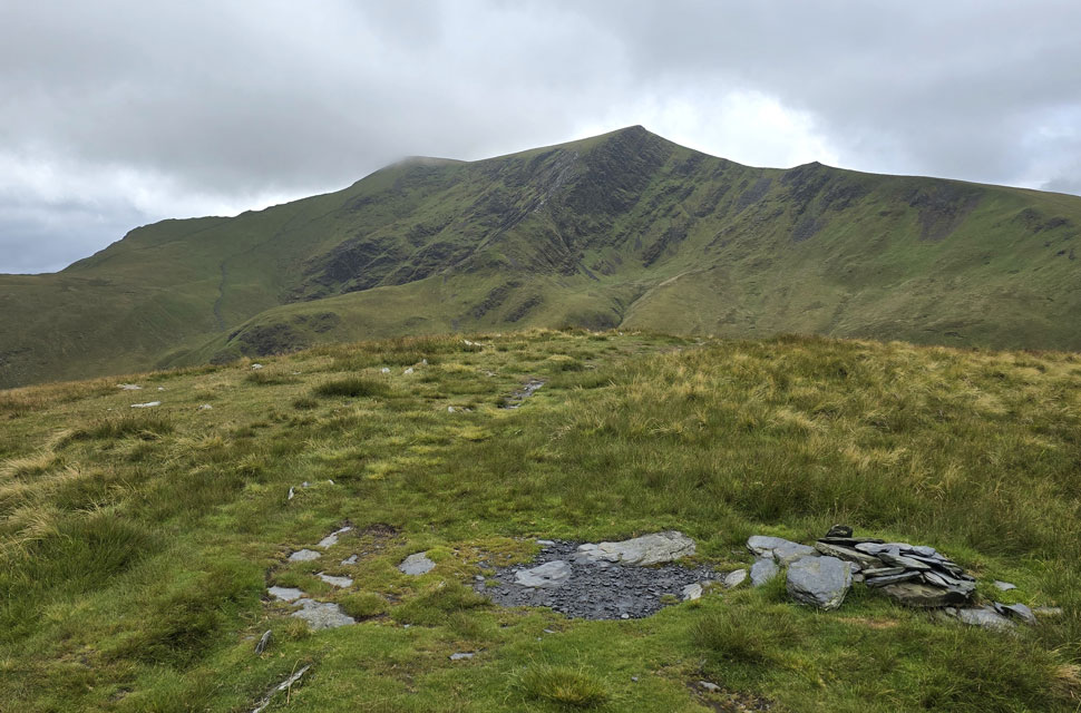 |
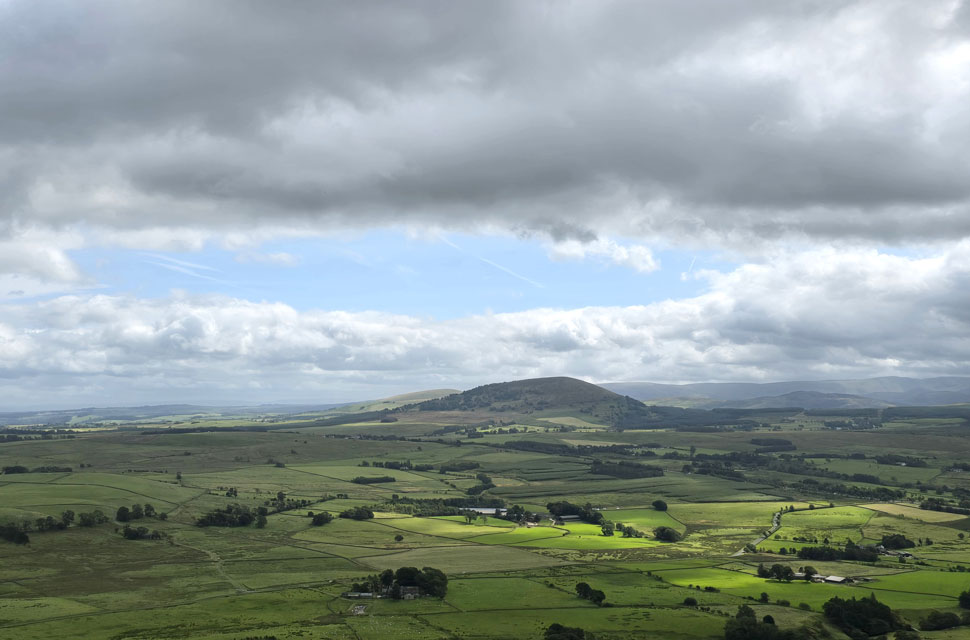
| Blencathra from Bannerdale Crags summit. |
| The plan was if Blencathra would have been under cloud I'd head north to Bowscale Fell and return via White Horse Bent, descend to cross the Glenderamackin again, gain the top of Mousthwaite Comb to go onto Souther Fell but seeing as it's clear, and there's still potential in the skies, I'm keeping with my original route. |
 |
| Descending Bannerdale Crags. |
| With views of Atkinson Pike on Blencathra, Skiddaw and Great Calva now in sunshine. |
 |
| Thats more like it. |
| In the short time it had taken me to cross the col below the clouds began to part leaving the sunshine to push through. That's Bowscale Fell with High Pike on the left. |
 |
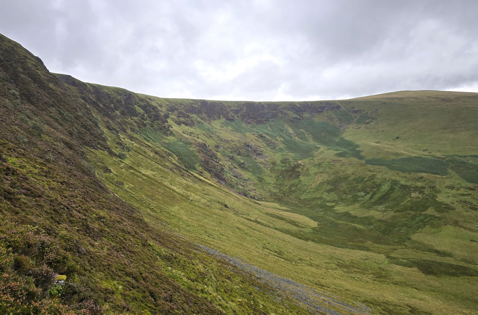
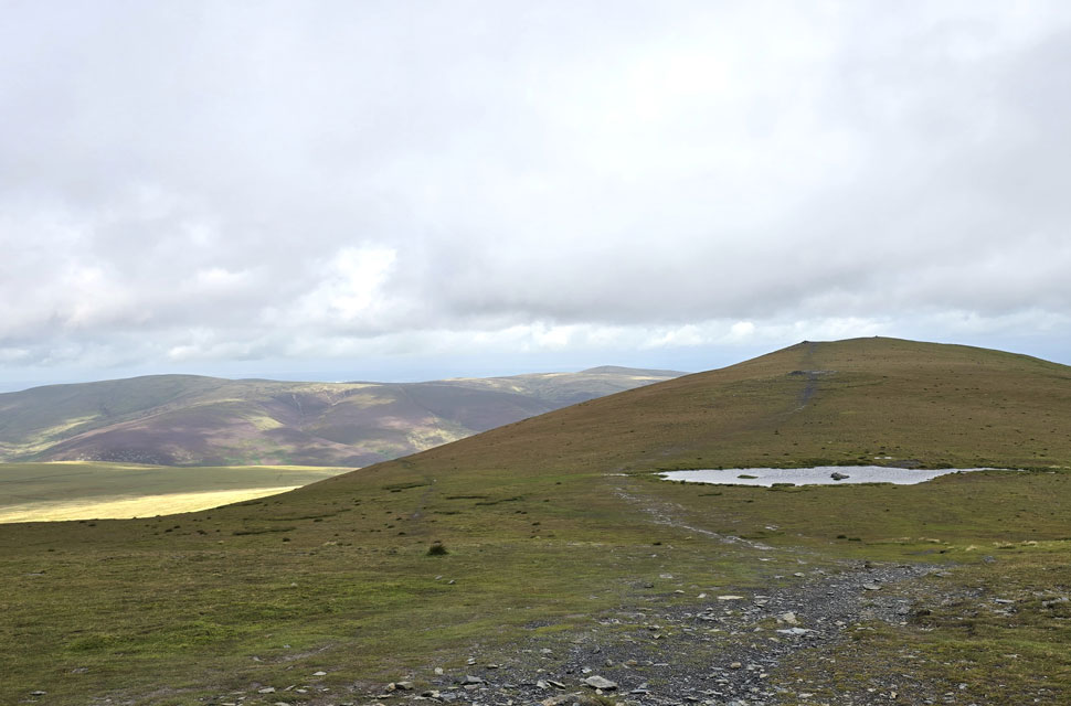
| Sharp Edge and Atkinson Pike come into view. |
| It's a fair o'l slog from the col to reach the zigzags at the bottom of Atkinson Pike known as Blue Screes but you do get this impressive view of Sharp Edge. |
 |
| Sharp Edge. |
| Thankfully no takers due to the rain for now at least anyway. |
 |
| The view north over Blackhazel Beck towards Knott, Coomb Height and High Pike (Caldbeck) |
| You'd be forgiven for thinking it's a different day now! |
 |
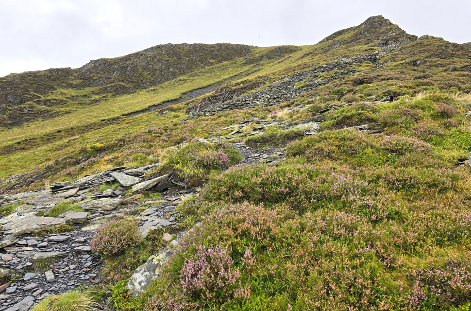
| Blue screes on Atkinson Pike (right) |
| The sunlight was really bursting through now and doing a great job of drying me off although as I mentioned earlier, the wind is gaining in strength so I swap my baseball cap for a beanie. |
 |
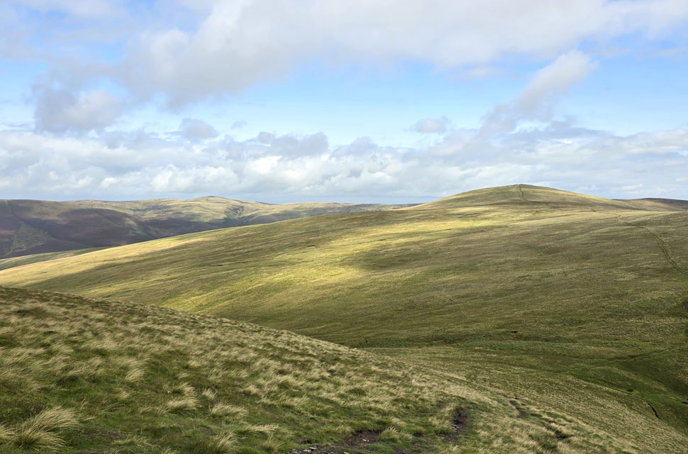
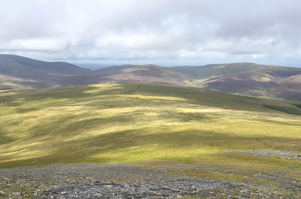
| The view north over Mungrisdale Common. |
| Towards Great Calva, Knott, Great Sca Fell, Coomb Height and High Pike. |
 |
| Mungrisdale Common... |
| ...looked inviting in the sunshine. |
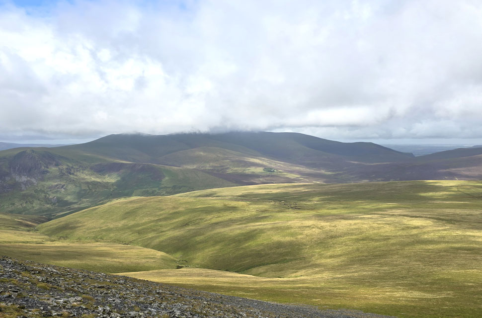 |
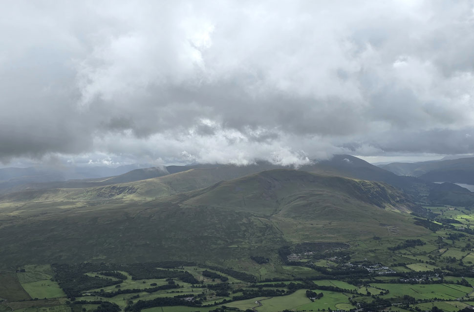
| Looking north westerly over Mungrisdale Common towards Lonscale Fell, Skiddaw, Burnt Horse, Sale How and Bakestall. |
| Not forgetting Skiddaw House in the centre of the photo. |
 |
| Looking back at the top of Atkinson Pike from The Saddle. |
| It was blowing a gale on Blencathra's saddle and even before I reached the summit I knew I wouldn't be spending much time there. |
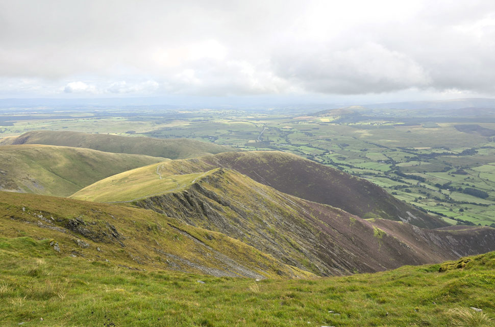 |
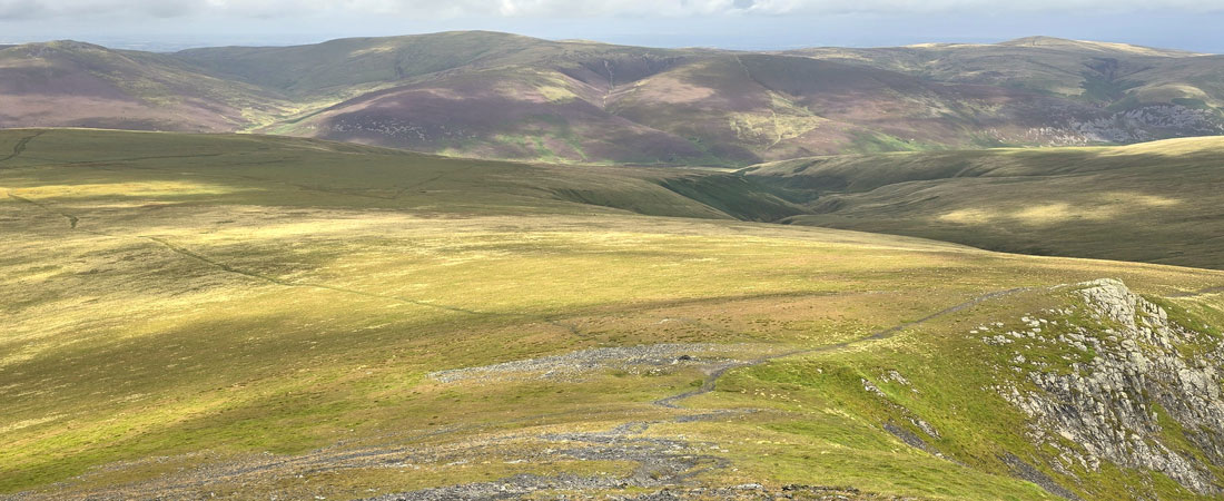
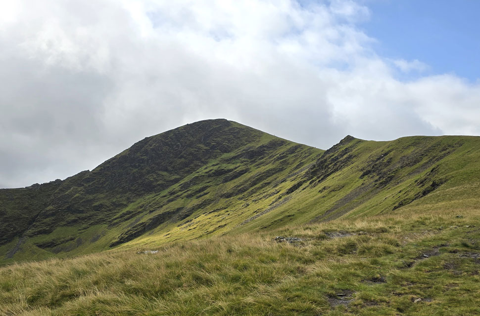
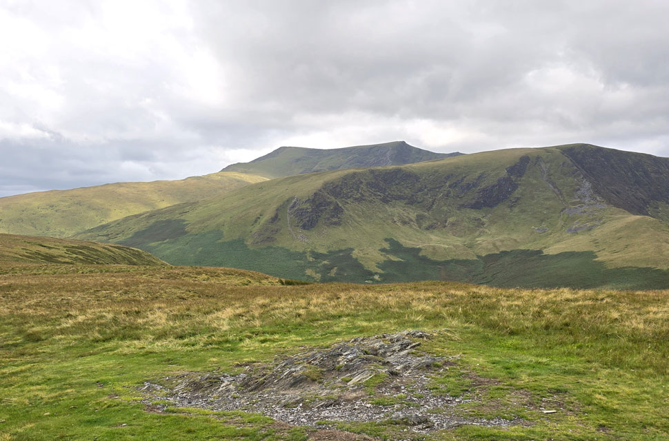
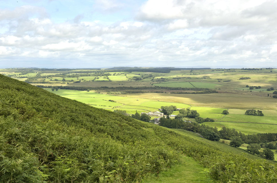
| Looking down on Doddick Fell Top, the Doddick Ridge, Scale Fell, Burnt Horse and Souther Fell from Blencathra summit. |
| There were only three people at the summit who left as I approached with two more approaching from Gategill Fell Top which meant unbelievably, I had the summit to myself for a couple of minutes. |
 |
| Looking chilly over Clough Head and the Dodds. |
| |
 |
| Gategill Fell Top from Blencathra summit. |
| After a few minutes of cold hands it was time to leave Blencathra, until next time. |
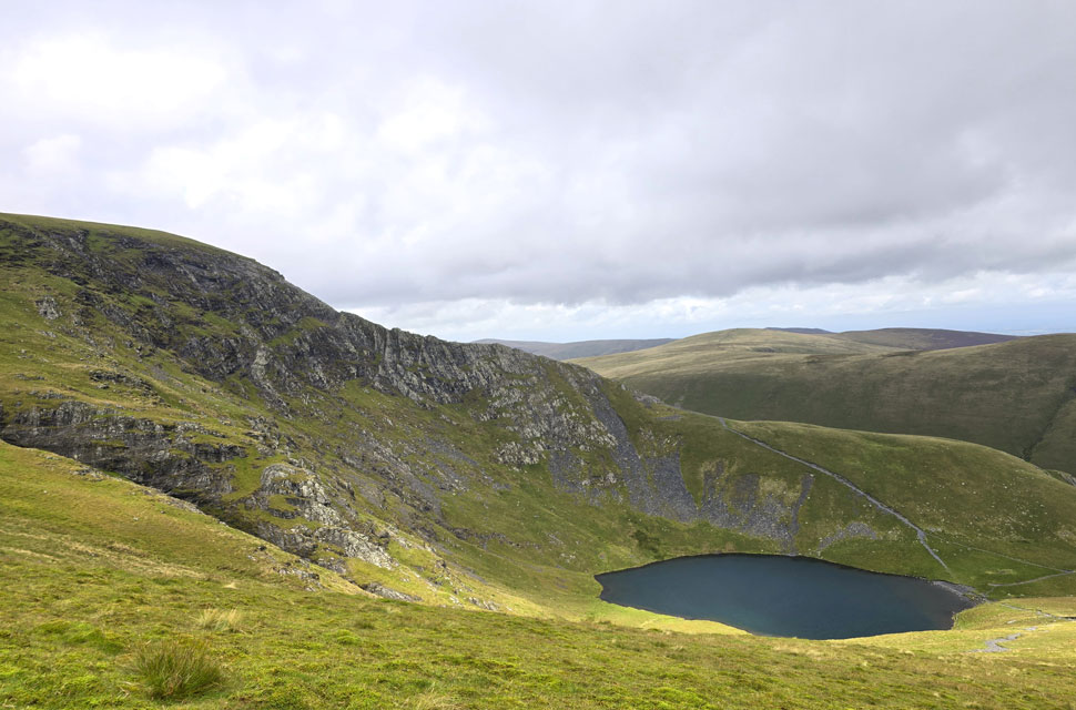 |
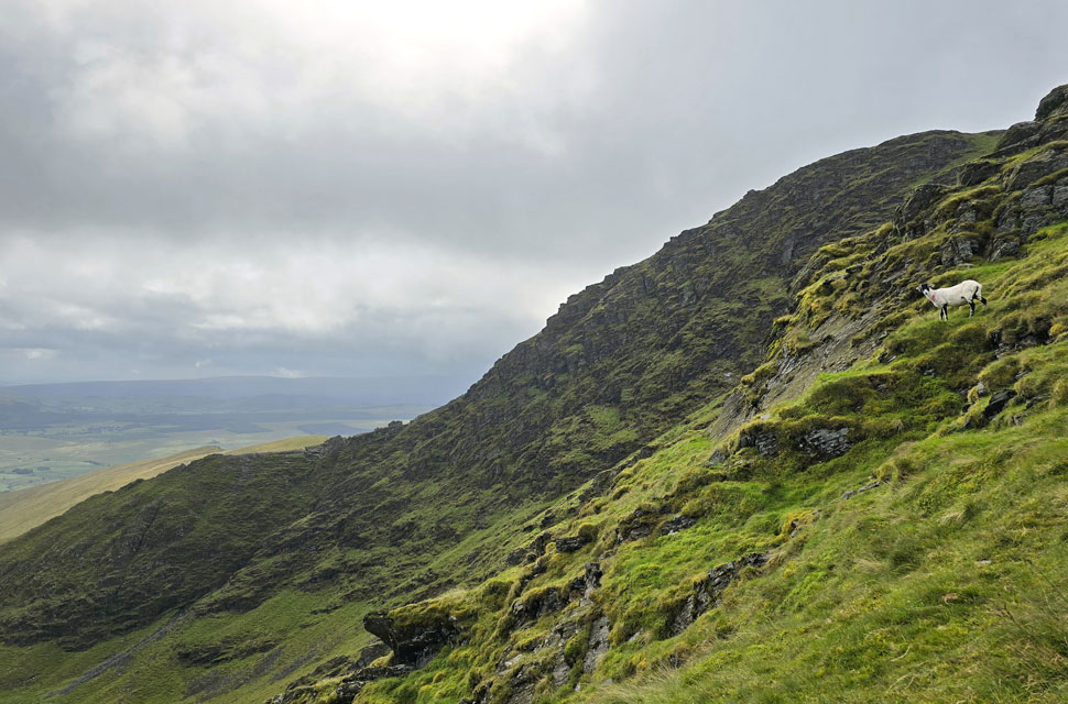
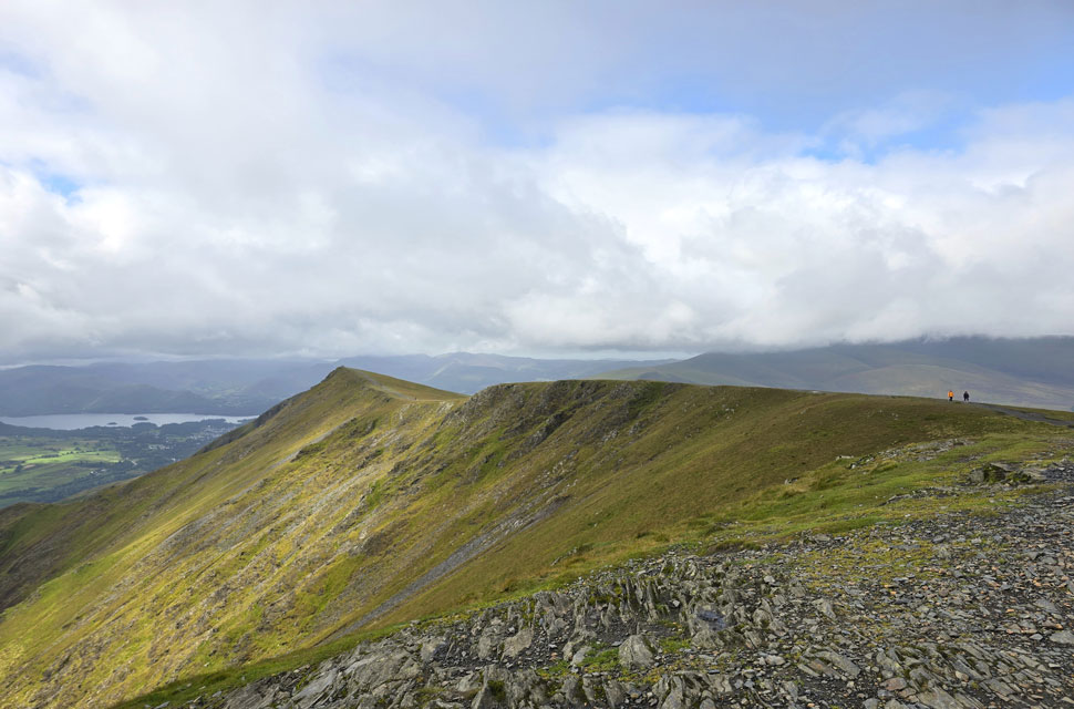
| Views over Scales Tarn towards Sharp Edge. |
| For people in the know the rock on Sharp Edge is polished and it's never a good idea to traverse it during or after rain, worst still when it's blowing a gale but that didn't stop the four I spotted half the way across the edge. |
 |
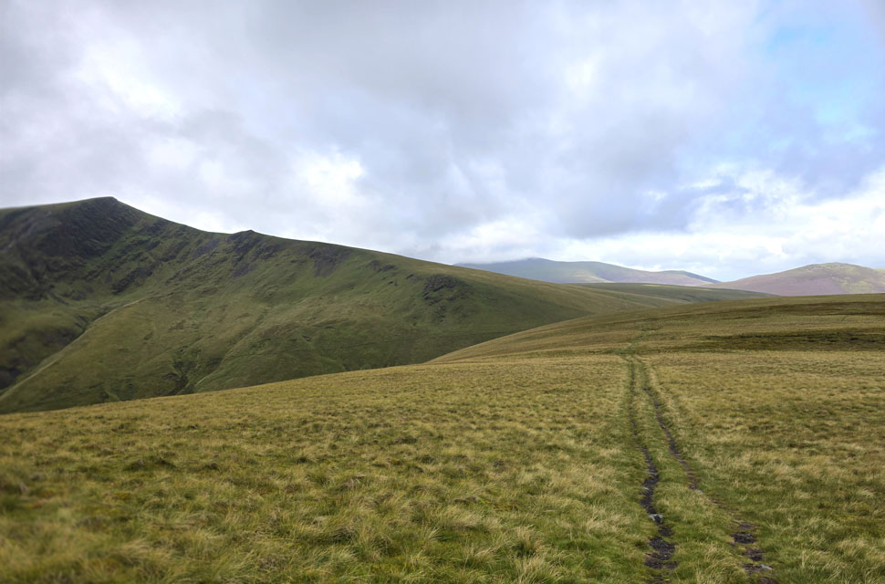
| Views over the top of Mousthwaite Coomb towards Souther Fell. |
| I steered left to take the path over Mousthwaite Coomb slowly losing view of Scales Fell above me and its walkers heading towards the summit. |
 |
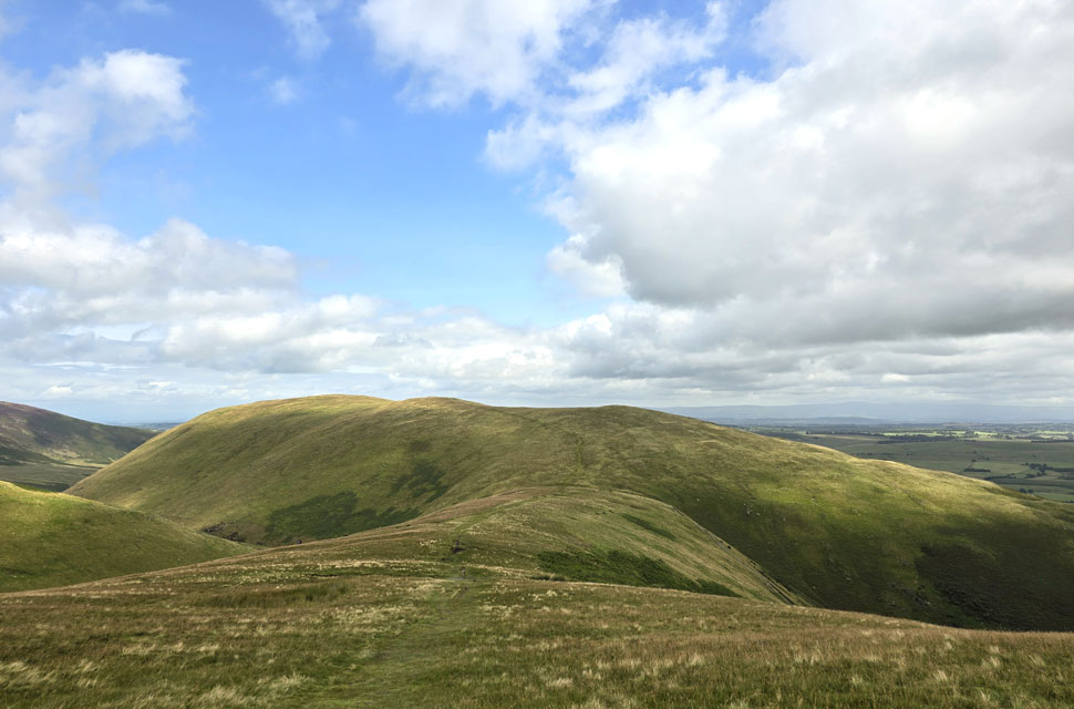
| Peaceful Souther Fell. |
| It was just me, a slight breeze the sunshine and the sheep. |
 |
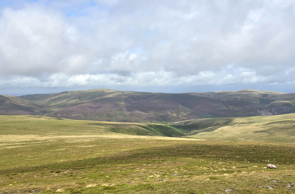
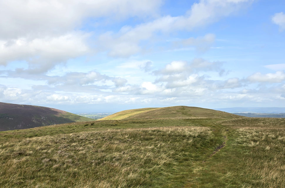
| Blencathra, White Horse Bent, Bannerdale Crags, Bannerdale Crags East Ridge from Souther Fell summit. |
| My time on Souther Fell was short reaching the summit in what felt no time at all, it was the most peaceful I'd felt all walk with little to no wind, sunshine and the ability to look back on the full route. |
 |
| I gaze across to the Mell Fells. |
| I took a direct easterly descent from where I'd link up with the horizontal path that will eventually lead me back to Low Beckside and Mungrisdale. |
 |
| Low Beckside comes into view. |
| |
 |
| Back at Mungrisdale. |
I'm really fond of the horizontal path that leads back to Low Beckside with its smooth grass flanked by bracken now on the turn on both sides. Watched on by grazing sheep I reached the bottom of the path when I was passed by a fell runner and we shared a hi before she sped off before coming back into view as she opened the gate on the road below. A minute later I too passed through the gate completely dry now and blessed in wall to wall sunshine. I was over heating but with just minutes before I reached the car I kept my layers on swapping the beanie back to my baseball cap; if anything to hide the embarrassment of my hat hair.
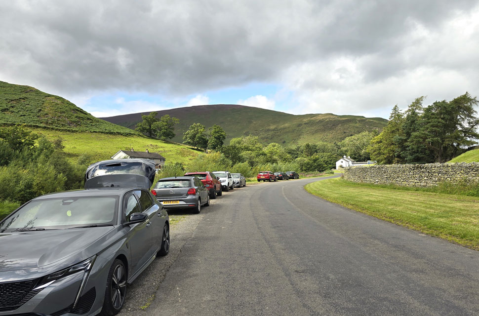
The parking spaces had filled up since I had left but there was no one around with the exception of a passing odd car. As I had during my descent I soaked up the views enjoyed the warm sunshine forgetting how miserable and wet I'd felt this morning. I left the old road for Low Beckside passing beneath a coppice of trees with the Glenderamackin flowing below. Ahead the single span footbridge where I crossed the Glenderamackin for the last time but instead of reaching the other side I stood in the centre of the bridge focusing on the glints of sunlight as it shimmered across the black water below. |
|
| |
| Back to top |
 |
|