Fairfield from Grasmere

21st September 2025


Overview
Ascent: 2,694 Feet - 821 Metres
Wainwrights: 3, Stone Arthur - Great Rigg - Fairfield
Weather: Bright & Sunny Throughout. Significant Windchill at Height. Highs of 12°C Lows of 6°C Feels Like -7°C
Parking: Parking Spaces A591 Grasmere
Area: Eastern
Miles: 6.2
Walking With: On My Own
Ordnance Survey: OL5
Time Taken: 4 Hours
Route: A591 - Greenhead Gill - Stone Arthur - Great Rigg - Fairfield - Grisedale Hause - Hause Gap - Hause Moss - Tongue Gill - A591
 

Parking Details and Map
Nearest Post Code: LA22 9RF
Grid Reference: Layby A591 North of Grasmere - A591 Central Grasmere NY 337 408 & NY 341 079


Map and Photo Gallery


Views over Grasmere towards Silver How, Lingmoor Fell and the Coniston Fells 7:14am 6°C

There were no fells for me last weekend due to attending a local music concert which sadly turned out to be a washout followed by a week of unsettled weather and to top that; prolonged heavy rainfall come Saturday. By Friday it was looking like it might be another weekend off the fells that was until Sundays forecast unravelled itself forecasting a bright start before high level cloud moved in around midday. I'm not sure how clear skies and sunshine can follow in the wake of Saturday's deluge but that it did waking to star filled skies on Sunday morning. It had been an uneventful drive north whilst I indulged in my new Audible crime thriller 'Cut Adrift' written by Chris Simms.

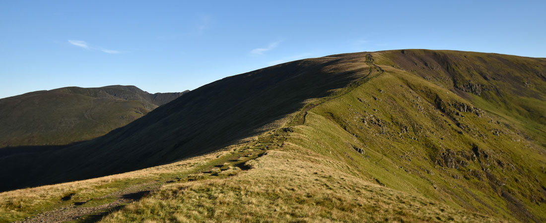
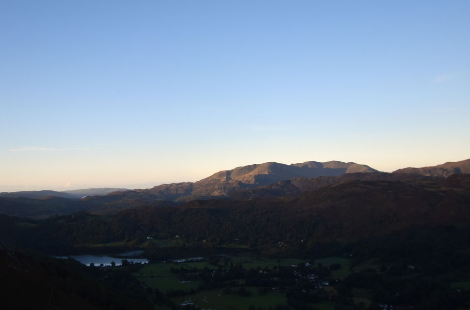
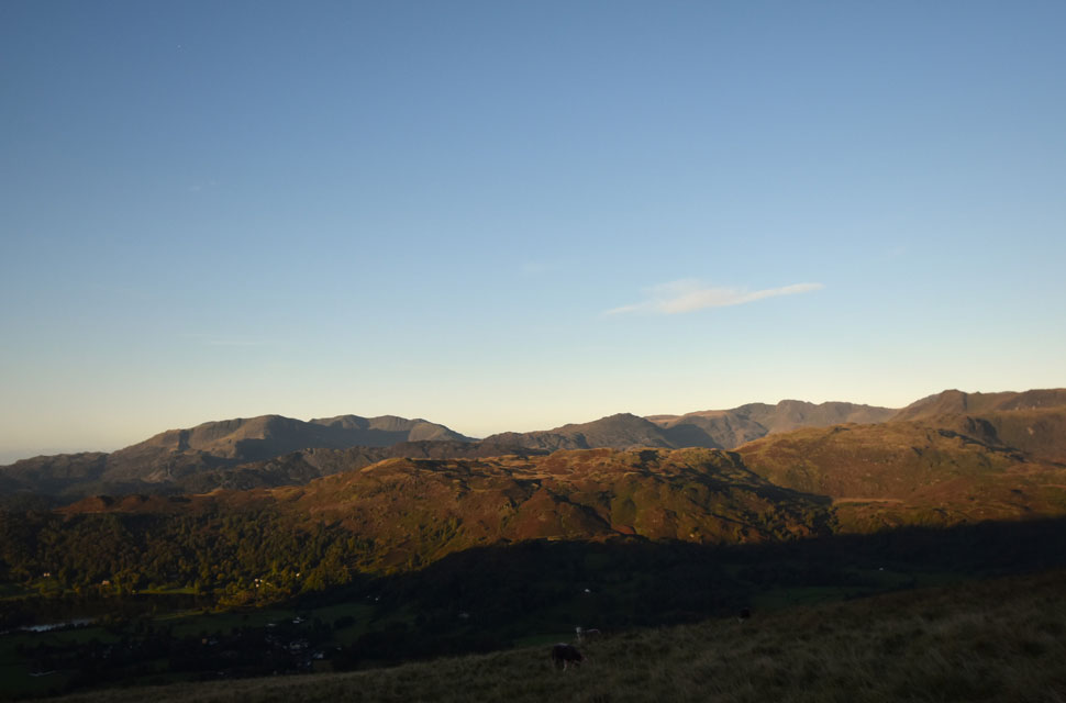
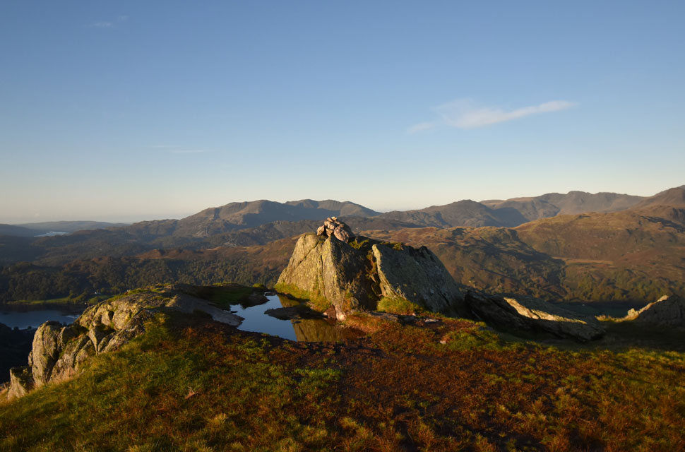
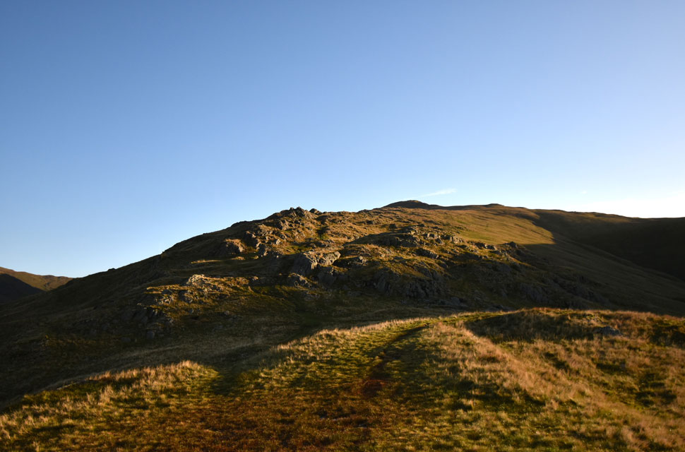
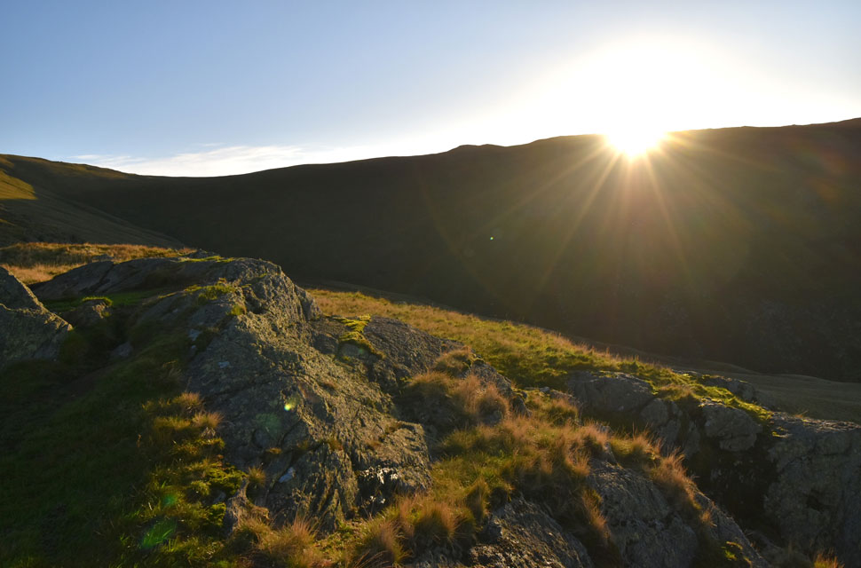
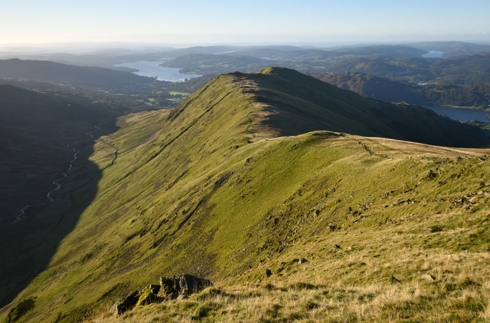
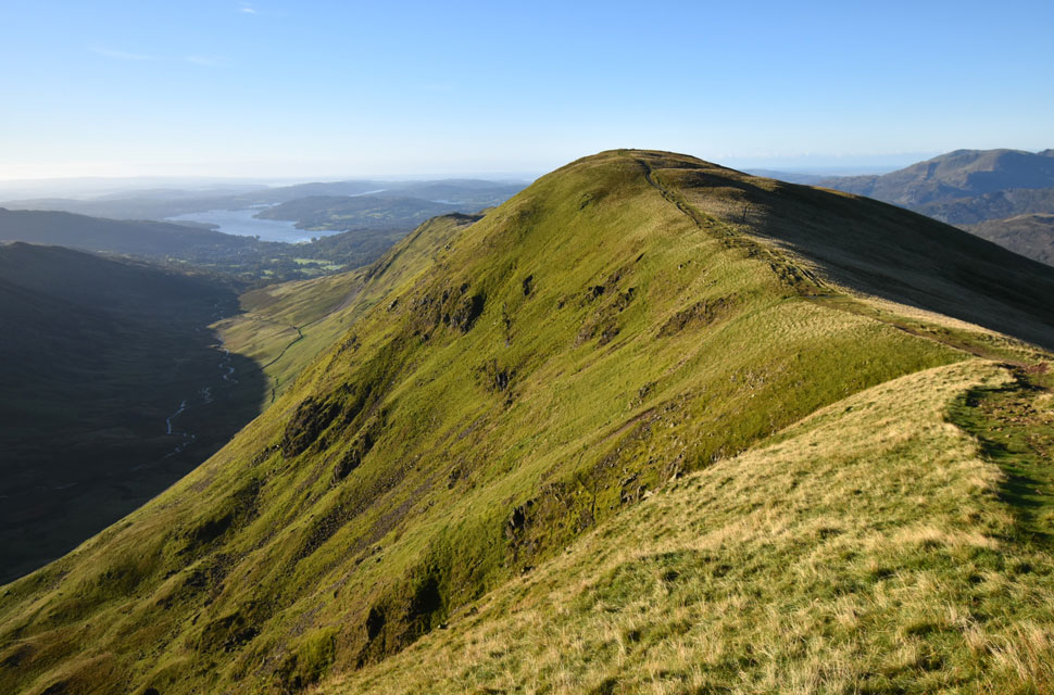
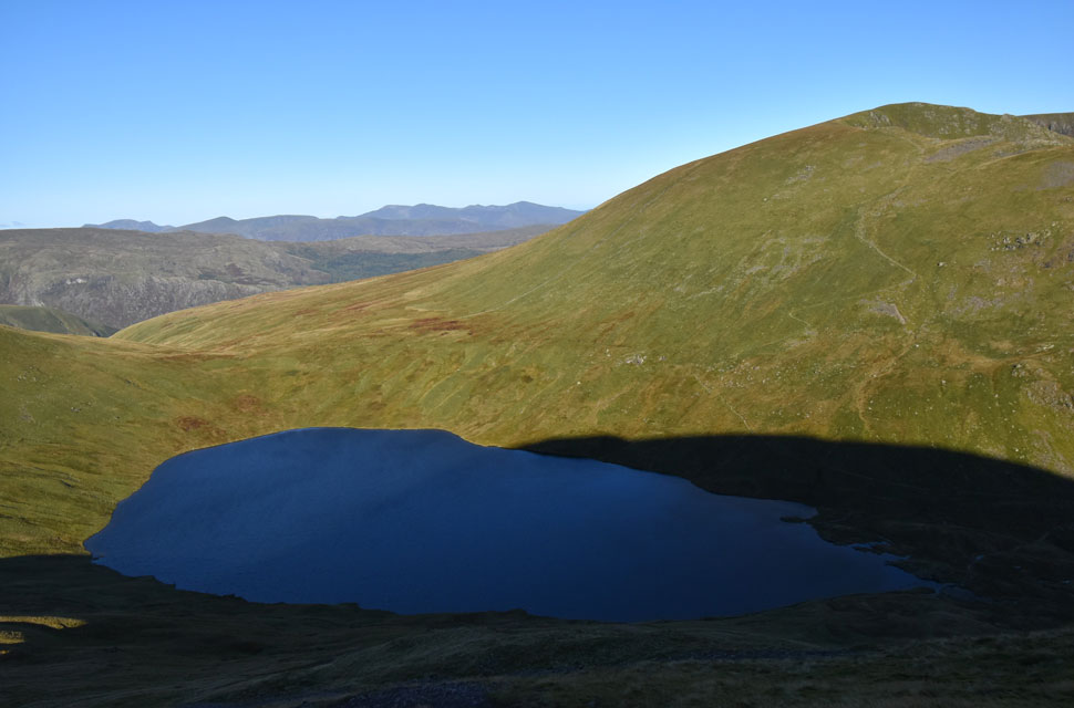
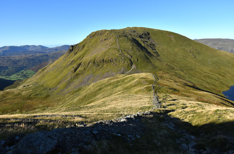
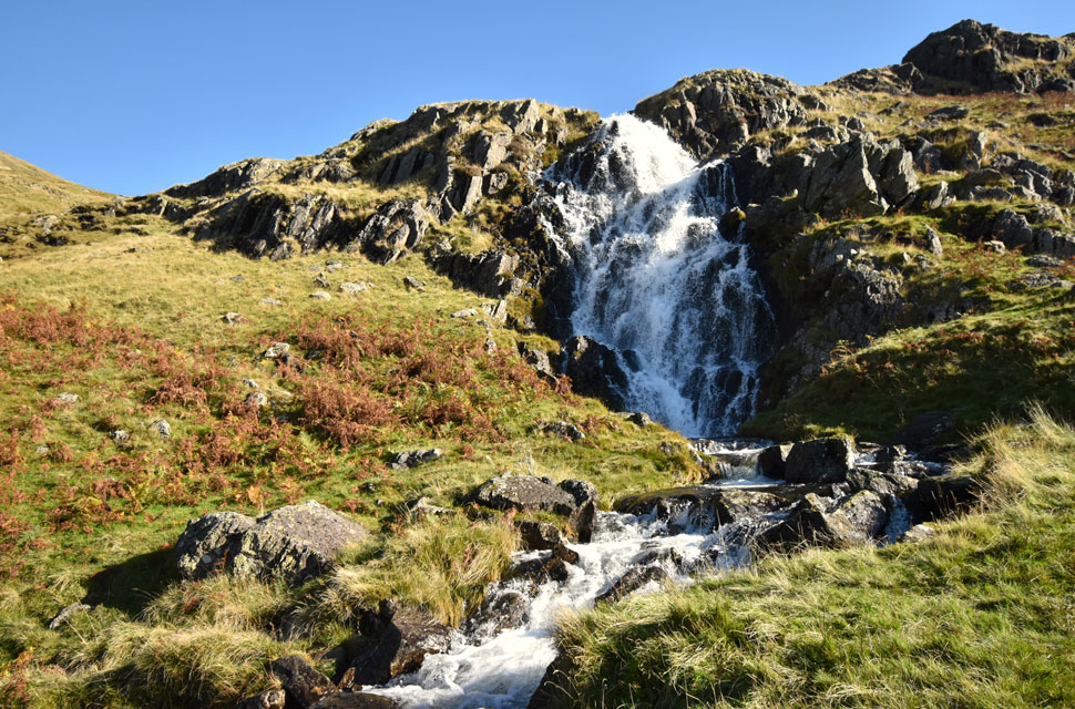
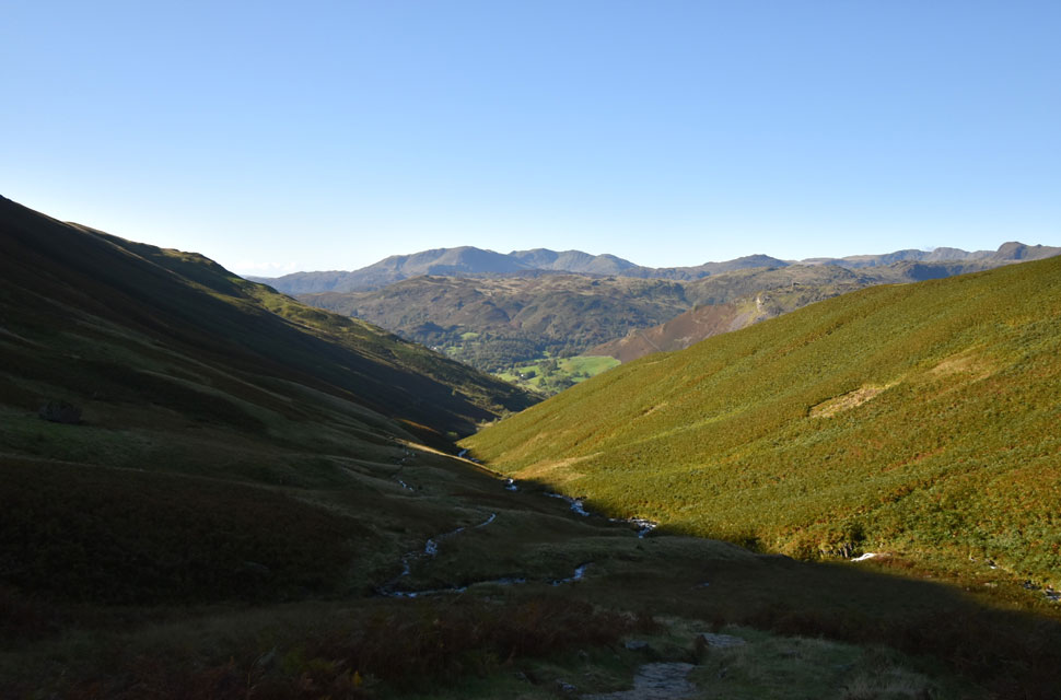
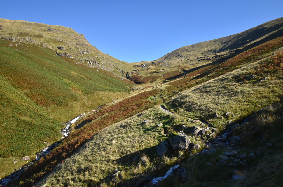
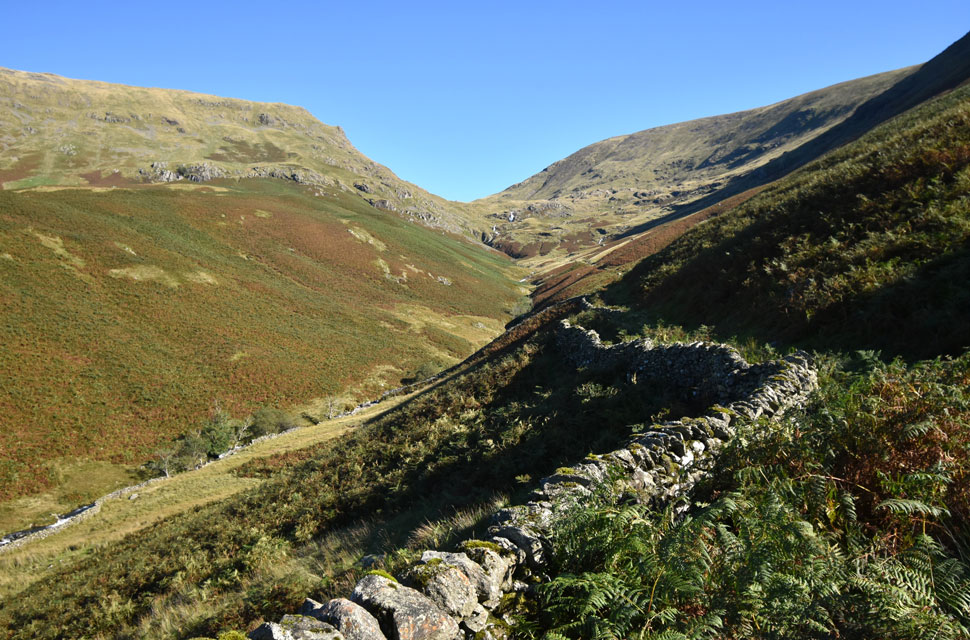
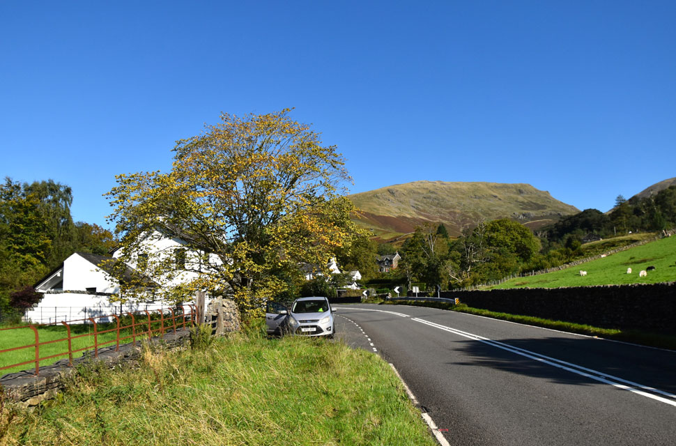
The pre-light of dawn was tweaking just around the corner and by the time I'd reached Grasmere at 6:40am there was just enough light to kit up without the use of a head torch. It doesn't seem two minutes ago when the country was enjoying heat wave after heat wave wearing shorts and T-shirts to fell walk just seemed the norm but today, and, after yesterday's heavy rain it's back to long trousers, windproofs, beanie, gloves and even gaiters in anticipation of the boggy ground I was about to encounter. After locking the car I crossed a deserted A591, kicked through the dewy grass verge on the opposite side of the road before making my way towards Greathead Gill via the steep tarmac path flanked by luxury cottages only a lottery win could dream of.


First light over Silver How, Lingmoor Fell, the Coniston Fell, Pike O'Blisco, Crinkle Crags and Pavey Ark.

Greathead Gill was in full spate, its white water cascading down the fell side before being funelled into a concrete gorge seperated by cottages on either side. I love the sound of flowing water but this was the opposite and almost over powering to the senses and I wondered if the locals had managed any sleep last night.

Once the footbridge over Greathead Gill was reached I was panting like a labrador on a hot day due to exertion from the steep tarmac incline. I turned left and followed the stone track below a coppice of pine trees before reaching the equally steep stone staircase which rose almost above the treeline before the path swerved right where I stopped to look back on Grasmere where first light was breaching the treetops and surrounding fells.


Stone Arthur summit.

I was getting hot now so I removed the gloves I'd added back at the car but opted to keep my beanie on due to the fresh breeze. Forecasters had predicted a windchill of -10°C at 950 metres and although I was chuffing like an old steam train I knew that drop in temperature was just around the corner. I'd spotted a chap wearing bright orange trousers on Stone Arthur's south ridge before he disappeared from view before spotting him again standing on the summit - he must have ten to fifteen minutes on me.

Expecting the grassy ridge to be flowing with water I was surprised to find it relatively dry underfoot whilst thinking the fells had escaped the worst of the rain because just twelve hours ago I was in fear the inch of standing water on my patio was about to flood my kitchen. The dawn light was changing every minute and although the sun hadn't climbed high enough to breach High Pike to the east, I knew it was only minutes away.


Let there be light.
Great Rigg summit can be seen peaking above the Stone Arthur's south ridge.

Sunlight spills over Greathead Gill.
It's not very often I find myself complaining about the sun being in my eyes but I was this morning, more so because I'd left my sunglasses in the car, that said, what a wonderful light show.

The fox bield / trap above Stone Arthur's summit.
Having to divert my eyes towards the ground I left Stone Arthur's summit and passed the familiar structure that is thought to be an old fox trap although there is speculations that it could also have been used as a hunters shelter.

Distant views of Coniston Water.
With the summit behind me I continued ascending the ridge still squinting whilst looking towards Rydal Fell to see if I could see anyone else as the good weather would normally draw out walkers taking on the Fairfield Horseshoe but the ridge looked deserted so I turned around and took this picture instead.

Views over Tongue Gill towards Seat Sandal, Nethermost Pike, Helvellyn and Striding Edge.
Seat Sandal did look inviting but todays choice of descent will be via Tongue Gill passing the waterfalls seen right.

Great Rigg comes into view.
There are places on the fells that are installed into our hearts, this small cluster of rocks set amongst the wild grass with Great Rigg beyond is just one of mine.

Clear views of the Central and Southern Fells.
I took in the view towards Bow Fell seen as the pointed peak centre left and wondered if Rod had gone ahead with his planned route of Bow Fell to Rossett Pike via Esk Pike but at the last minute he decided against owing to Saturday's adverse weather. I'm sure that walk can be put on hold for another day when the forecast is just as good as todays.

Looking back on Heron Pike (Rydal Fell) Erne Crag and Nab Scar with Stone Arthur's South West ridge split by Greathead Gill seen right.
By the time I arrived on the lower slopes of Great Rigg I still hadnt seen anyone on the ridge which was crazy given the forecast but all of that changed the moment I spotted orange pants man descending Great Rigg where we stopped to have a chat. As it turned out the chap was from Scottish borders and had slept in his converted van at Thirlspot where in the early hours, he had watched walkers ascend Helvellyn wearing head torches before he took the short drive south to Grasmere.

Looking back on Heron Pike (Rydal Fell) Erne Crag and Nab Scar.
Can you name all the lakes in this photo?

Great Rigg summit.
This is Great Rigg summit and the summit cairn is known as Great Rigg Man.

Fairfield ahead.

This was the view I had in my head yesterday when I went out to put fuel in the car, originally I was going to walk Wetherlam via Black Sails but the lure of Fairfield and this view won for no particular reason.

That's Nethermost Pike, High Crag, Nethermost Pike, Striding Edge over on the left and the pointed peak is the summit of Catstye Cam.


Views towards Rydal Head Link Hause and Hart Crag in shade over on the right.
There are some great ascents on the Lakeland fells but non more that command as little effort than the ascent of Fairfield from Great Rigg.

Looking back on Great Rigg.
With the Scandale valley appearing in shade below.

Fairfield summit.
It's not very often you can say you had Fairfield summit to yourself but at 9:03am I had just that.

Looking down on Cofa Pike, Deepdale Hause, St Sunday Crag and the Deepdale Valley.
I had kept to the east of the summit while trying to explore the cliffs and crags below but the sunlight was so strong the only thing I could see were multicolored shafts of green light that dazzled my eyes. I keep to the edge of the summit and with the sun behind me I took in the view into Cawk Cove and retraced an ascent David and I did back in summer last year. Back then we'd walked through the Deepdale valley then took an off the path route and made an almost direct ascent on Cofa Pike most of which was ascended in cloud. Good times.

Views over the Grisedale Valley towards Dollywagon Pike, High Crag, Nethermost Pike, Helvellyn and Striding Edge.
The clear views were an indication of just how cold it was with the windchill nearing double figures I pulled the hood from my hoodie up over my beanie and topped that off with my jacket hood and the windchill was still getting through. Blimey, it's been a few months since I'd felt this cold.

Views of Grisedale Tarn and Dollywagon Pike.
It's fair to say despite the views it was nice to begin my descent from Fairfiled if only to escape the windchill.

Seat Sandal over Grisedale Hause.
Within minutes of my descent I had left the summit winds behind in favour of cooler temperatures but not cool enough to lose the layers just yet. I passed a solo walker ascending towards the summit who I learned had been over Helvellyn, Nethermost Pike and Dollywagon Pike before deciding to descend via the Nethermost zigzags and tackle Fairfield, thats a pretty ambitious morning you've had I said before both agreeing how cold the windchill had been at height.

Looking back on Fairfield, Deepdale Hause and St Sunday Crag.
Not forgetting Grisedale Tarn seen left.

Grisedale Hause with Hause Gap seen further right.
Having descended to Grisedale Hause I took a few moments to look back on the tarn where I was passed by Norwegian fell runner who arrived at the hause from the direction of Raise Beck "which way you heading" I smiled down I replied "I'm heading up Fairfield" and off he trotted. I guess that was as diplomatic as my European relations will get today.

Tongue Gill falls.

I began my descent from Grisedale Hause and passed a middle aged couple with their dog me making sure I take care on the wet rock whilst the couple stepped aside to let me pass which was jolly decent of them. Here the path was either bone dry or flowing with water it just depended which part of the path had caught the sun and which hadn't.

Further down the path steepened and water flowed over its rocks or drained to the side whilst the sound of Tongue Gill falls drowned out the silence but it was also awesome to see such a powerful flow of water once the falls were reached.


Views down Tongue Gill.
 

Looking back up towards Grisedale Hause.
With Seat Sandal to the left and Fairfield to the right.

One last photo before the view disappears.
 

Looking back on Seat Sandale from the A591.

I had only seen a dozen walkers all morning and ten of those were during the descent of Tongue Gill four of which were hoisting themselves up the embankment after following the grassy rampart beyond Tonguegill Force. It had been a truly fantastic descent where for an hour or so my ears had been treated to the sound of cascading water while my eyes had the beauty of the Lakeland fells on the cusp of Autumn. I crossed Tongue Gill at the Ford braving the stepping stones rather than the bridge before emerging on the other side my boots had taken a good swill and looked better for it. I joined the track flanked by Tongue Gill this time it was ravined within a tree lined gorge where views of white water appeared between the leaves and branches.

Further down I passed another couple the chap had a phone glued to one ear whilst his wife looked unimpressed at the uneven rocky incline. I reached the familiar gate where I stopped for a few moments. Views opened out towards the old barn while beyond, Steel Fell still wrapped in bracken on the turn and clear blue beyond disturbed only by the sound of a motorbike engine note decelerating as it reached the top of Dunmail Raise.


Back to top