Counting Hill, Winter Hill & Two Lads Sunset

2nd November 2025


Overview
Ascent: 908 Feet - 276 Metres
Summits: 5, Adam Hill - White Brow - Counting Hill - Winter Hill - Two Lads
Weather: Scattered Sunshine Turning Brighter Late Afternoon. Windy Were Exposed. Highs of 12°C Lows of 9°C Feels Like 6°C
Parking: Roadside Parking, Wilderswood
Area: West Pennine Moors
Miles: 7.5
Walking With: On My Own
Ordnance Survey: Explorer 287
Time Taken: 3 Hours 10 Minutes
Route: Wilderswood - Rotary Way - Adam Hill - White Brow - Holden's Plantation - Holdens Farm - Roscow's Tenements Clough - Dean Mills Reservoir - Counting Hill - Rotary Way - Winter Hill - Rotary Way - Two Lads - Crooked Edge Hill - Pike Cottage - Belmont Road (Track) - Wilderswood
 

Map and Photo Gallery


Two Lads over Wilder's Moor 12°C 13:30pm

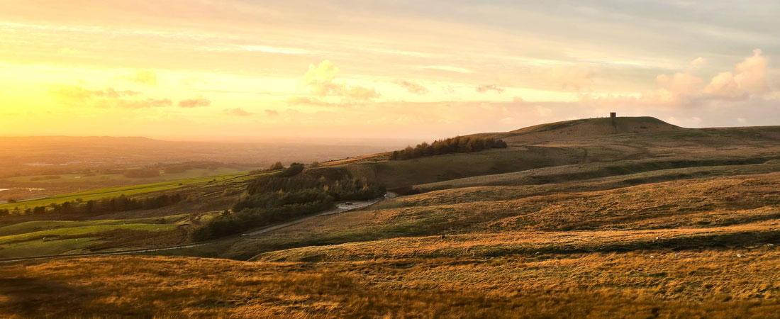
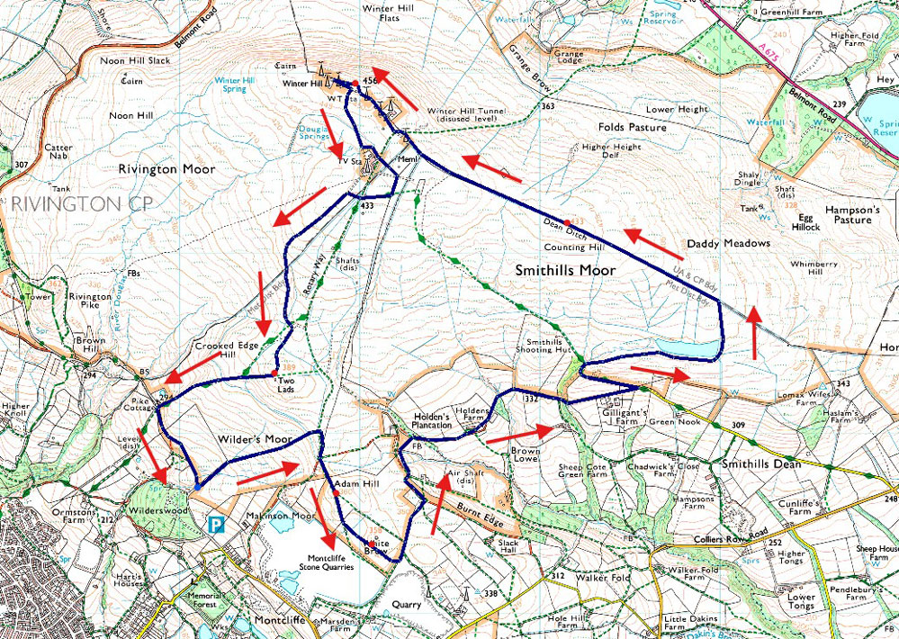
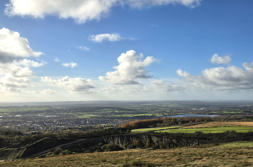
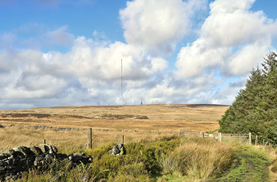
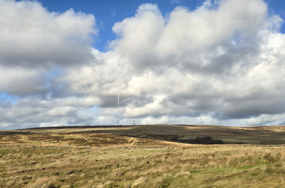
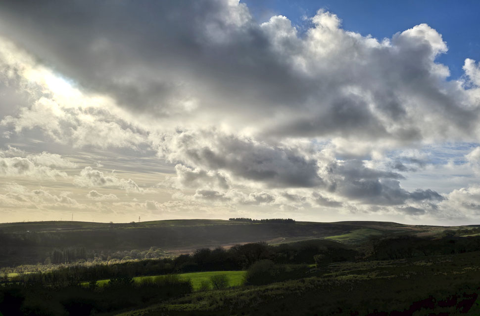
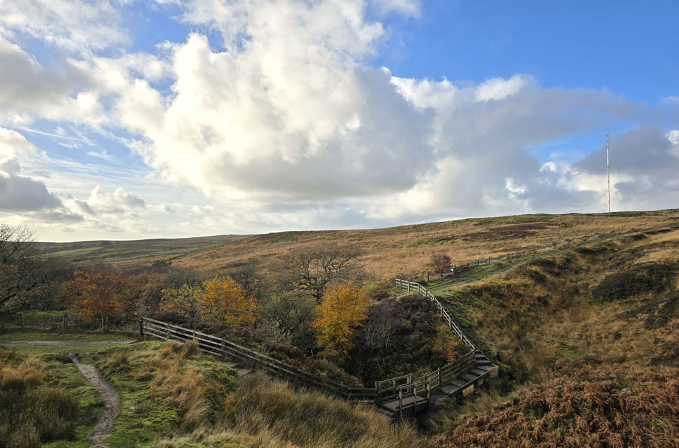
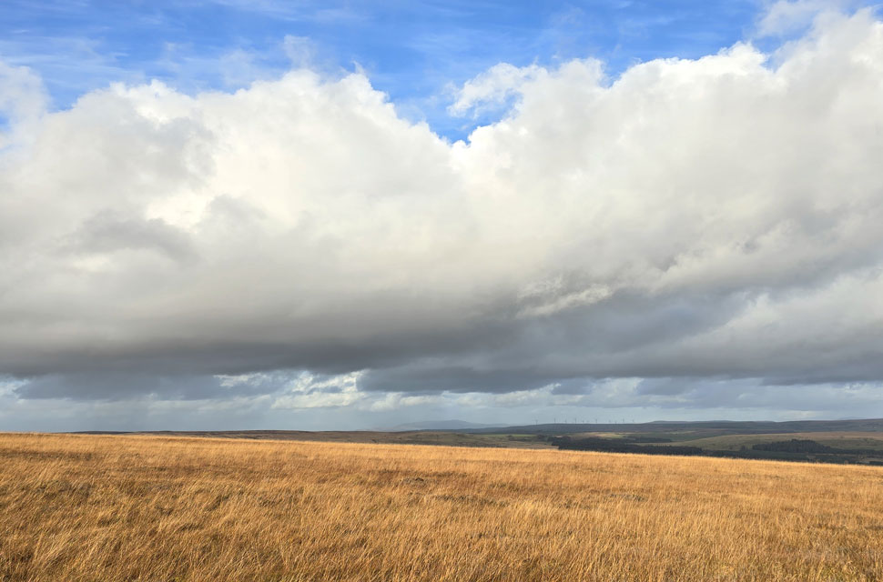
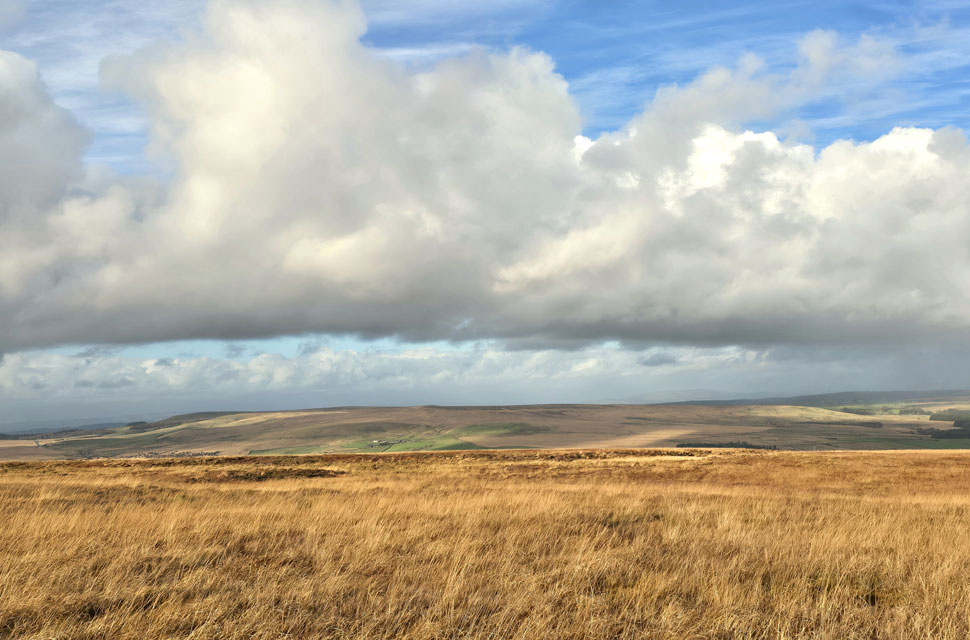
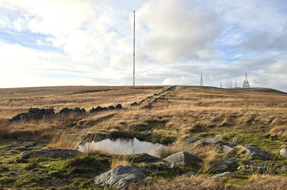
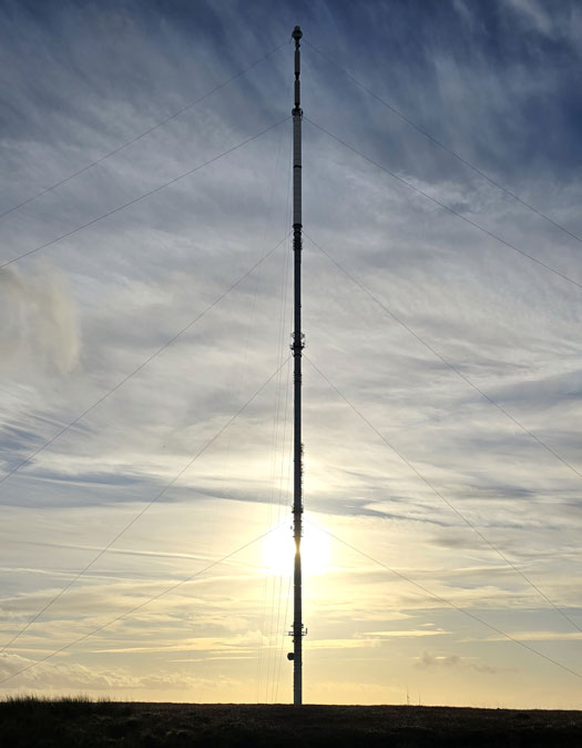
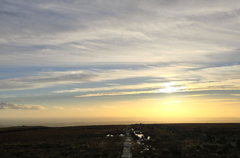
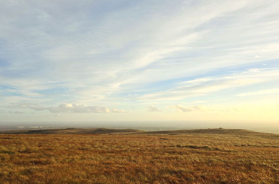
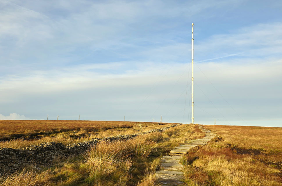
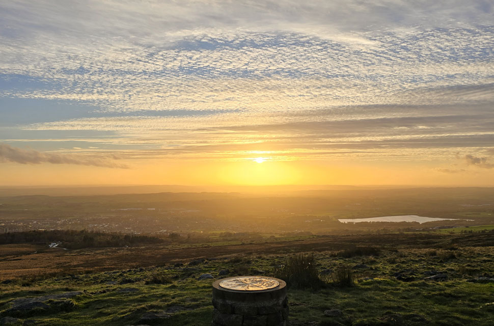
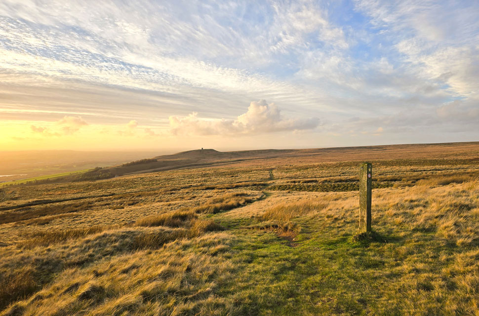
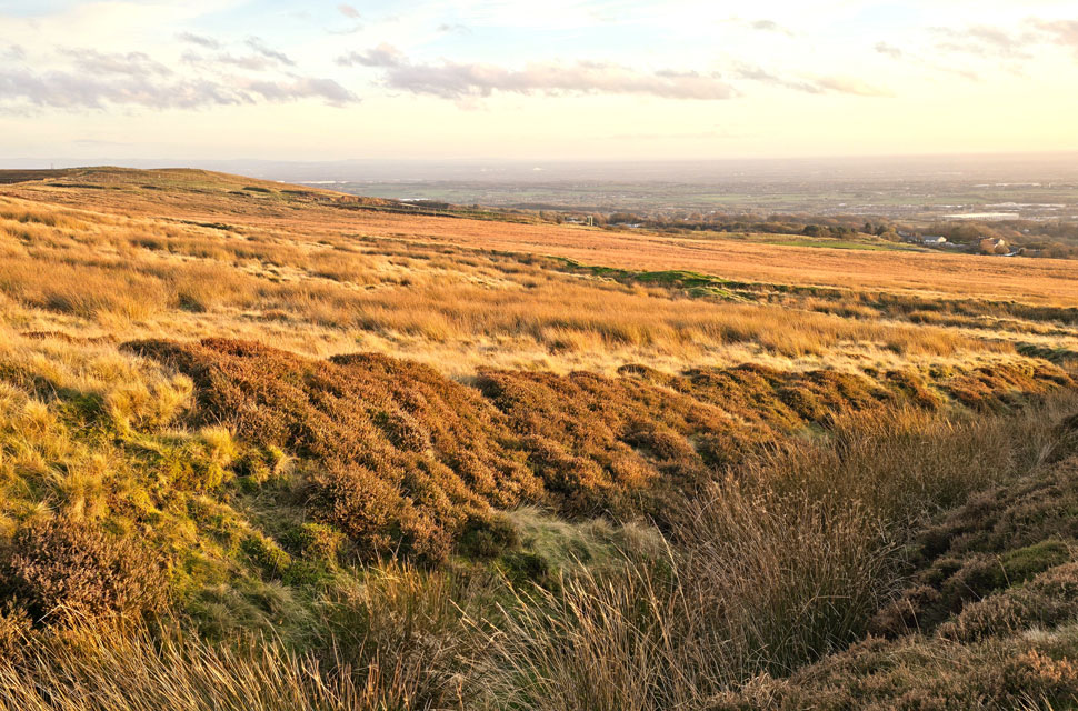
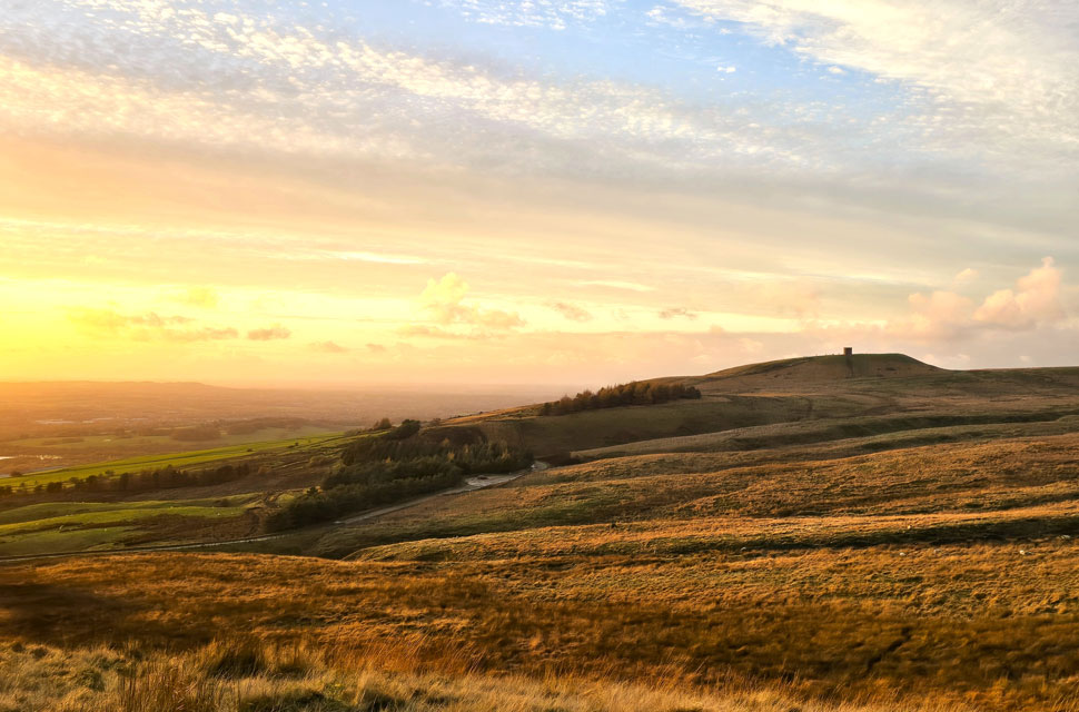
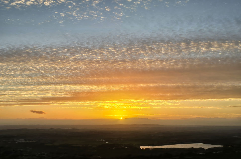
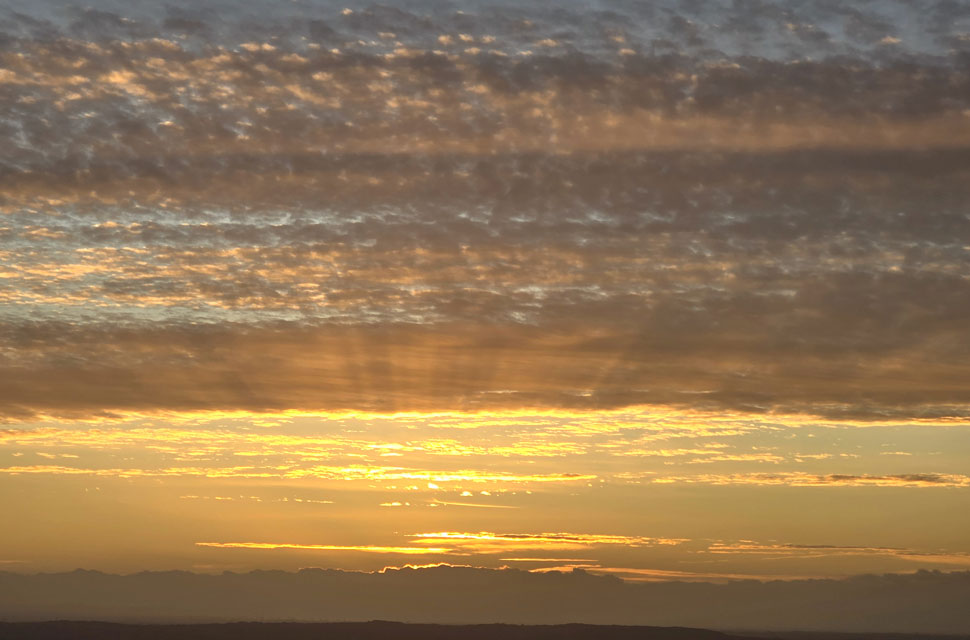
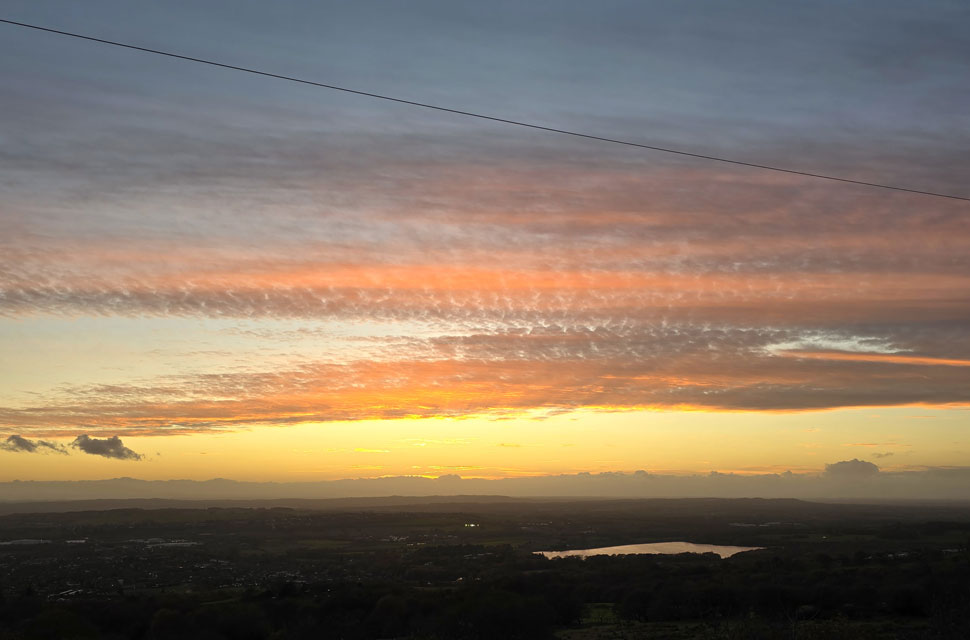
Saturday forecast was a washout and Sundays wasn't looking too good either so I had resigned myself to a weekend away from the fells getting the shock of my life this morning when I checked the webcams to find blue skies above clear summits, admittedly the last time I had checked was Friday evening and of course, the forecast had changed, oh well, not to worry. I guess I'm really lucky to have Winter Hill just eight miles from home. I'd planned to visit Winter Hill from Wilderswood walking a simple out and back but during this mornings dog walk I thought about extending my route to include Counting Hill and if I was going to do that, I might as well throw in Adam Hill and White Brow too.

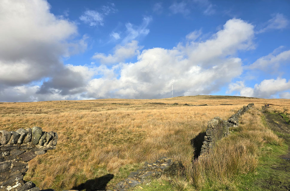
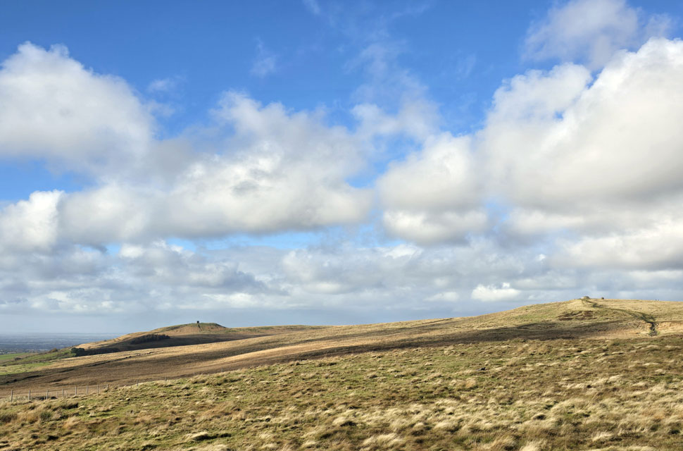
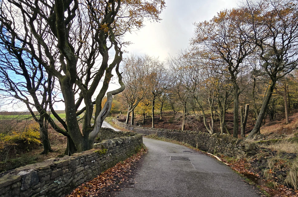
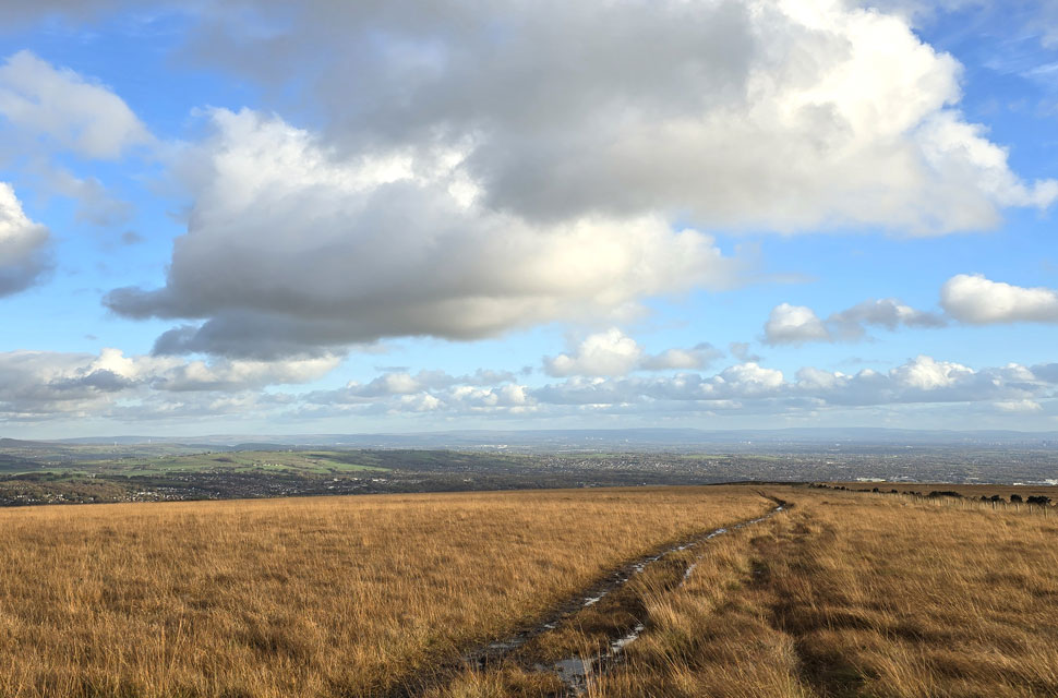
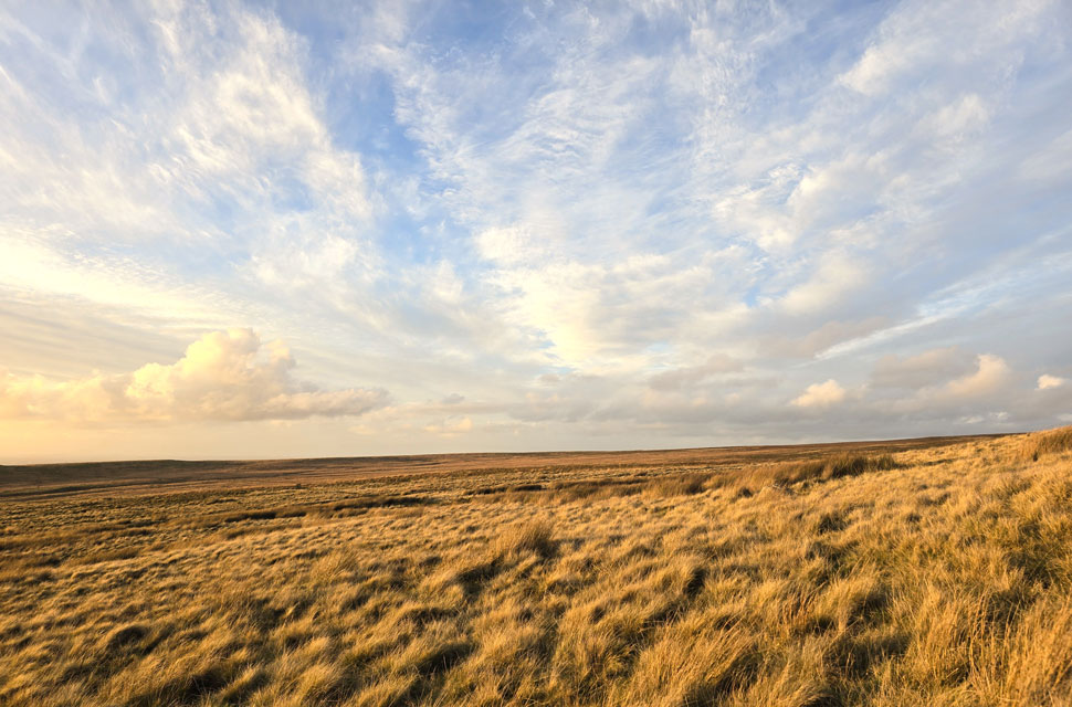
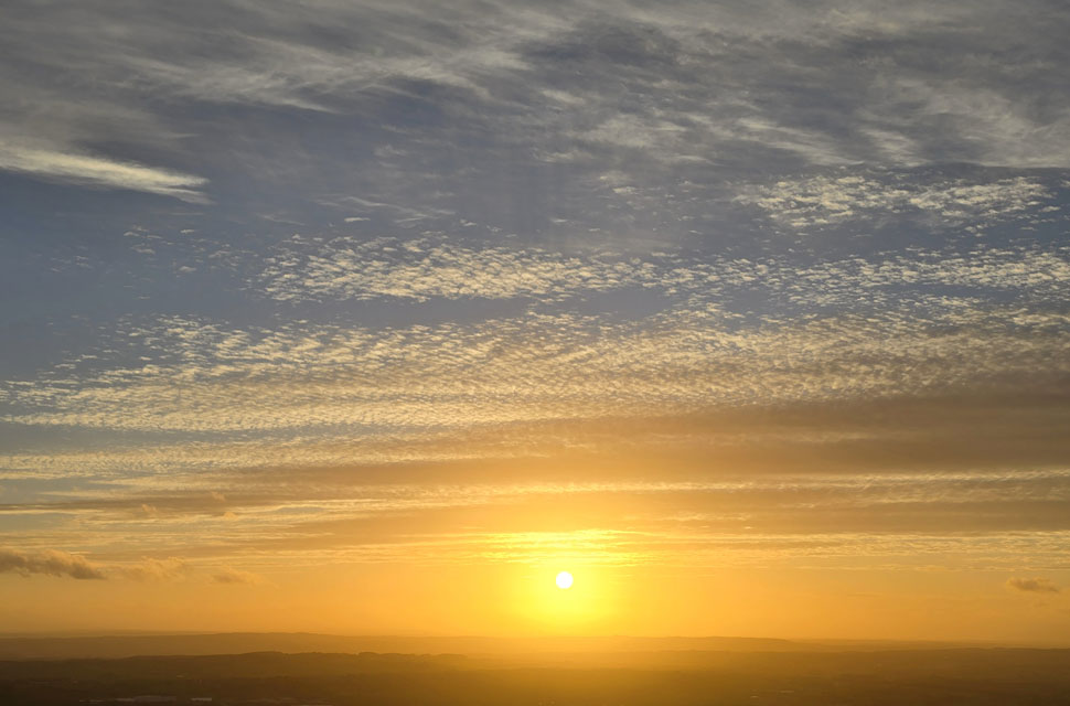
It had been a bright start to the day, mild with high level cloud and lots of blue in between. I never normally struggle to park at Wilderswood and I guess I was lucky grabbing the last parking space just as someone was pulling out, I gave the other driver a wave and reversed my car into the space. Despite the sunshine there was a nip to the air so I tucked a pair of gloves into my pockets and added my beanie more so because I had nowhere to put it other than my head.


Rivington Pike and Two Lads from Adam Hill.
It never ceases to amaze me how gaining just 250ft in less that half a mile always gets my lungs pumping yet the path between Wilderswood to Rotary Way does just that, oddly I've heard mountain bikers and fellow walkers say the same, I guess the car park is so close there's no time to warm up, that's my excuse anyway. Here I stop to look back across Wilder's Moor towards a packed Rivington Pike on the left with Two Lads over on the right.

Wilderswood, Horwich and Lower Rivington Reservoir seen beyond Montcliffe Quarries.
With Rotary Way reached I hooked a right, crossed over the cattle grid and took in the slight inclince towards Adam Hill from where I took in the view over Wilder's Moor.

Winter Hill seen beyond Smithills Moor.
With all the recent rain I'd anticipated the section between White Brow and Burnt Edge to be very muddy and I wasn't wrong, and there was me shaking my head when I looked at the gaiters in my boot and thought, nah, I won't need them. The woodland to the right isn't shown on the map but is a prominent landmark on the landscape, especially if you need to get your bearings.

Views into Holdens Plantation with Holden's Farm seen left with Counting Hill beyond.
I arrived at Burnt Edge like I'd just spent two weeks roaming the wild, my boots covered in a mix of peat bog, mud and slurry but thankfully there's a lovely track and road walk to cover before I'm back in the wet stuff later.

Crossing Lower Roscoe Tenament.
i managed to give my boots a swill in one of the streams below Holden's Plantation and they were soon looking like new again.

Looking across Smithills Moor towards Winter Hill.
With Holden's Plantation seen right.

Looking back on Burnt Edge.
You can still see the coppice of trees I was speaking about earlier with White Brow and Adam Hill seen to the right.

Upper Roscoe Tenament with Smithills Moor beyond.
Those with a keen eye might just be able to make out the cairn on Two Lads summit seen centre left.

Counting Hill from Dean Mills Reservoir.
I guess it's time to get muddy again but it's also time to slow down as by my estimation I'm about half an hour ahead of where I should be so best knock it down a gear if I want to be in time for the sunset.

Looking South East towards Horrocks Moor.
 

A distant Pendle Hill.
Looking rather gloomy I might add.

Towards the North East...
....Turton and Darwen moor's with Jubilee Tower (Darwen Hill) at the most northern tip.

Winter Hill and its transmitters come into view North of Counting Hill summit.
Knocking it down a gear worked wonders not just to create the gap that was needed but to also slow down mentally too. Sometimes I can get obsessed with timings but if you stop like I did, absorb the views slow it down, becoming one with your surroundings just comes naturally.

Passing Winter Hill transmitter mast.
 

On route towards Winter Hill summit now.
It's about quarter to four now and almost an hour before sunset and already the dramatics are starting to unfold.

Winter Hill summit trig point.
Like a medieval fortress visiting the trig point is not for the faint hearted after prolonged rain!

Rivington Pike beyond Rivington Moor.

I was in two minds which route to take next because the access road passing the transmitter station is still closed due to overhead cable replacement. I could cross Rivington Moor or trace my way back and take the detour which would be the drier option...

Aye, sod it, my boots are already wet!


The golden hour.
My boots might have taken another soaking but I was on the right side of the moorland to witness the start of the golden hour where the sun begins to dip low on the horizon turning the moorland rich in colour.

Leaving Winter Hill behind...
...as I head for Two Lads (left) via the new stone slabs.

Views towards Burnt Edge, White Brow, Adam Hill and Two Lads.
Remember the woodland earlier which can be seen here in the left of the photo.

Looking back on Winter Hill transmitter mast.
Not far from Two Lads now.

Two Lads sunset with views of Yarrow Reservoir.
The wind had been constant throughout and with a drop in temperature, despite wearing my mitts my fingers were beginning to feel the cold but you kinda forget about the cold when the views are as good as this.

Golden hour.
With time on my hands I hung around for a few more minutes before deciding against heading back to the car and instead I'll head over Crooked Edge Hill and descend via Pike Cottage. The light just got better and better.

Views across Rivington Moor.
 

And back across Wilder's Moor towards Adam Hill.
 

Not long left now 16:26pm
 

Intense light.
As I take in the view towards Rivington Pike.

Almost gone.
 

Towards the heavens.
 

Sunset over Lower Rivington Reservoir 16:41pm

With Time on my hands my fingers were beginging to freeze now which I had to keep exposed in order to use my mobile phone. I began my descent from Two Lads surrounded in golden afterglow, this was turning out to be one of the best sunsets I had witnessed but I would say that being such a sunset geek. Ten minutes until sundown I wanted to keep my elevation at a point when I remembered there was a large boulder on the far left of the hill, out of view from Pike Cottage but only a stones throw away, I made my way towards it.

The wind had turned into a breeze more copeable on the fingers now as I sat down and I thought about having a drink of water, I was thirsty but not for cow'd water, a cup of coffee or hot summer fruits would have gone down a treat. Eight minutes left so I square my bum on the awkward boulder, and rest my arms across the tops of my knees and watch the last of the light sink below the horizon before dusk began to take over.


Back to top