|
Wansfell Pike from Ambleside |
 |
 |
10th January 2026 |
 |
|
|
| |
|
Overview |
|
|
| Ascent: |
1 ,931 Feet - 588 Metres |
| Wainwrights: |
Wansfell Pike |
| Visiting: |
Baystones |
| Weather: |
A Clear Start With Variable Cloud & Sunshine. Highs of 4°C Lows of 0°C Feels Like -1°C |
| Parking: |
Roadside Parking, Old Lake Road Ambleside |
| Area: |
Far Eastern |
| Miles: |
7.1 |
| Walking With: |
David Hall & Calva The Dog |
| Ordnance Survey: |
OL5 |
| Time Taken: |
4 Hours 15 Minutes |
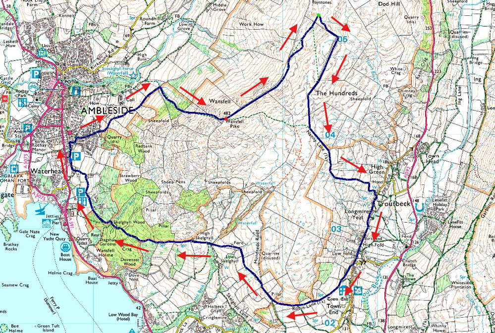
| Route: |
Old Lake Road, Ambleside - Blue Hill Road - Wansfell Pike - Wansfell (Baystones) - Nanny Lane - Troutbeck - Robin Lane - Low Skelghyll - High Skelghyll - Skelghyll Wood - Old Lake Road, Ambleside |
|
| |
|
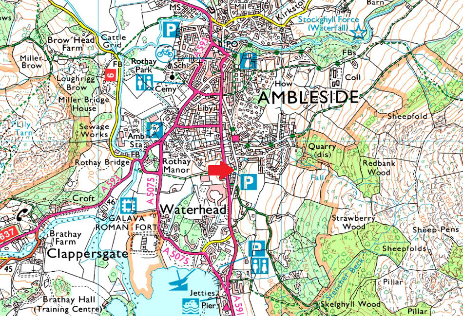
Parking Details and Map |
|
|
| Nearest Post Code: |
LA22 0DN |
| Grid Reference: |
NY 377 038 |
|
| |
|
Map and Photo Gallery |
|
|
 |
| |
| |
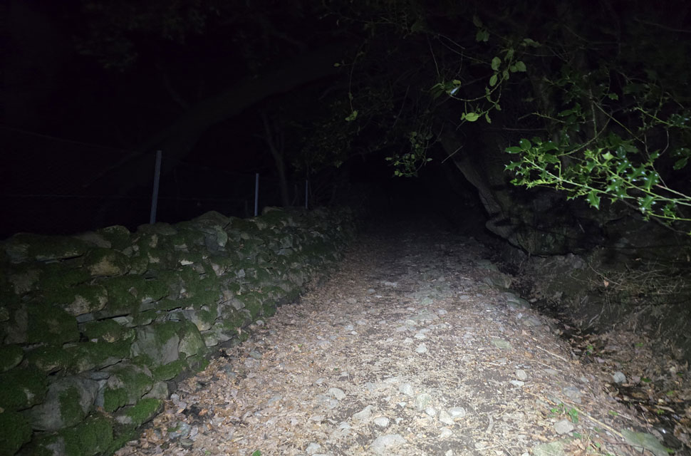 |
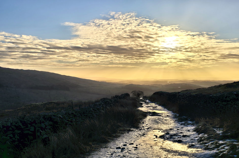
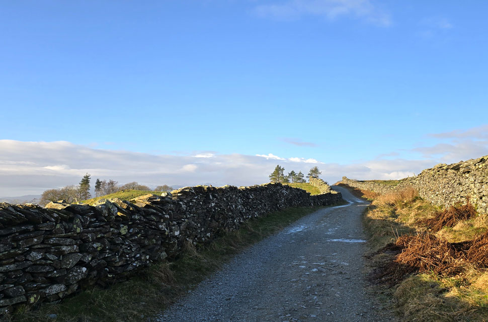
| Ascending Blue Hill Road (track) above Ambleside 6:49am 0°C |
While the south and the midlands are suffering heavy snow, strong winds and significant rainfall, the northwest of the country escaped relatively unharmed with the exception of cold temperatures and a hard frost. David had emailed me through the week about where to walk the coming Saturday. The forecast looked dry and promising, although between the mainstream and mountain forecasts, it was debatable if the district would see a bright start to the morning. David had suggested Wansfell Pike, a fell that I hadn't visited since 2019, and I countered David's email with a recommendation of Fairfield and Seat Sandal from Grasmere, but as the week went on, the higher our chances looked that we might end up in cloud, so we settled on Wansfell Pike. We had arranged to meet at the car park on the Old Lake Road, Ambleside, at 6:45am for a 7:00am start. I got there just after 6:30am, soon followed by David.
Despite the zero temperature, it felt mild kitting up, and it was a blessing to have no wind with only single figures forecast at 600 metres. I couldn't tell you how much I was looking forward to not being blown about like my last two visits in Lakeland. David had brought Calva along, who I've not seen in about six months, our reunion full of dog talk, kisses and cuddles whilst David completed his kit-up. Accompanied by the sound of a hooting owl by 6:40am we had locked the cars and were heading for Fisherbeck Park, a residential area slap-bang in the middle of Ambleside, from where we turned left onto Blue Hill Road, which is another residential street which turns into a track bearing the same name once Redbank Wood is reached. |
 |
| Arriving at the footpath bound for Wansfell Pike 7:13am |
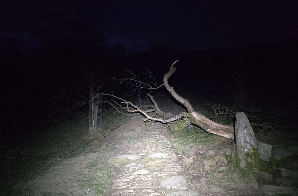
We followed the track leaving the lights of Ambleside behind in the pitch darkness, flanked by the odd light from Kelsick Grammar School on the other side of a stone wall to our left. The track was bone dry, but care had to be taken due to long stretches of ice which our head torches were illuminating well ahead. It didn't take long to reach the footpath below Wansfell Pike which was blocked by a fallen tree.
Thankfully there was no need to duck under sighting a newly formed path off to the right. Underfoot, the ground was frozen solid, confirmed by the hollow sound it made when I gave it a good tap with the tip of my walking pole. Such was the mildness that we stopped here for a few moments whilst David de-layered and I took in the view over Ambleside. |
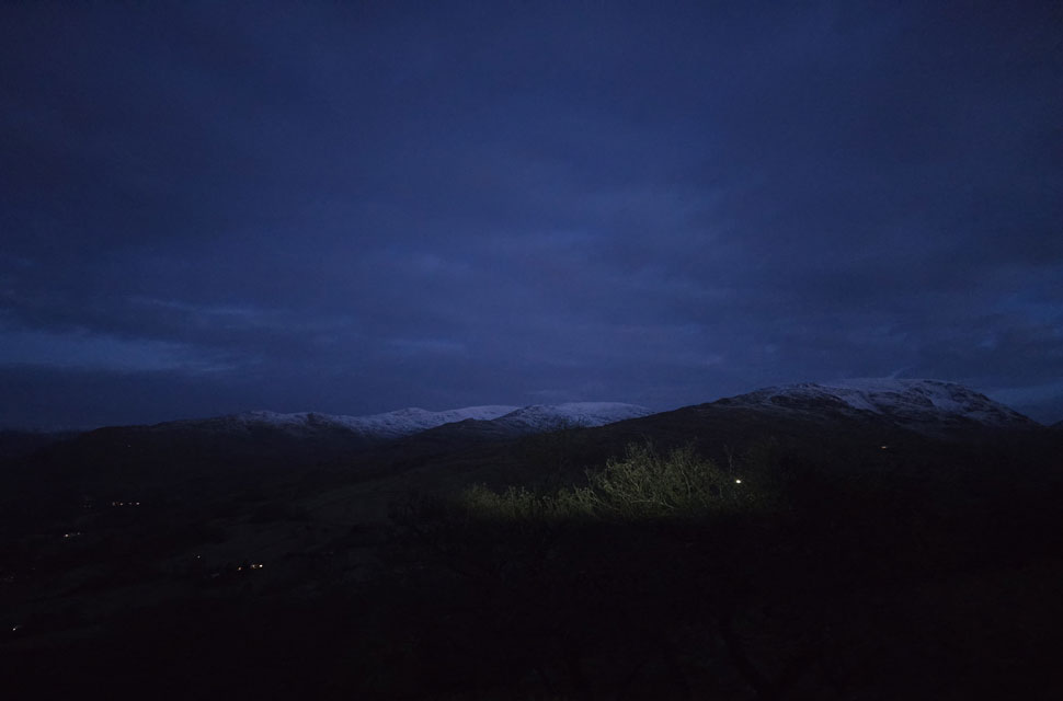 |
| Looking out towards Snarker Pike, Red Screes with the Fairfield Horseshoe beyond 7:31am |
| I switched my head torch off and let my eyes adjust to the darkness spotting three or four head torches ascending Nab Scar, seen far left. The bright light you see through the trees is from the headlights of a car which had parked up on The Struggle above Ambleside. |
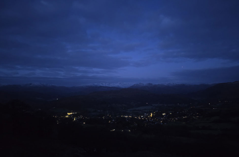 |
| Pre-dawn views over Ambleside 7:35am |
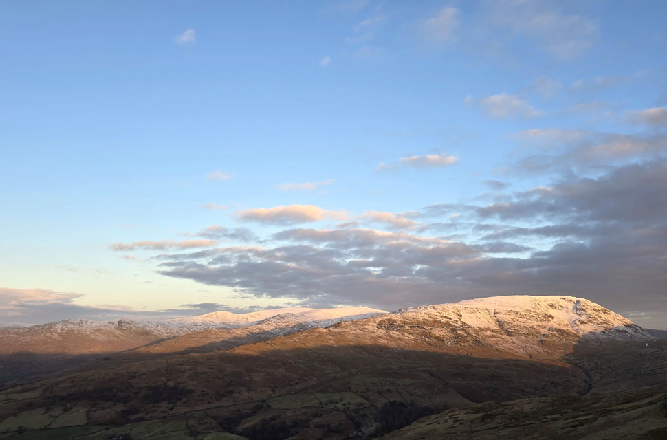
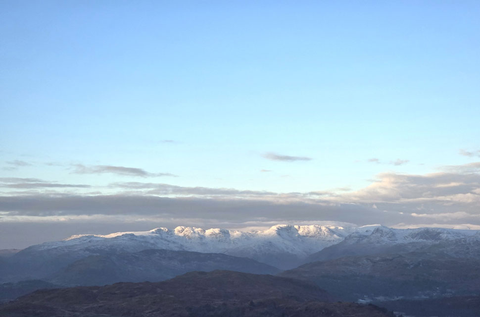
| The pre-light of dawn revealed snow-capped peaks as far south as the Coniston and Langdale fells, with Loughrigg Fell and Lingmoor Fell in the foreground snow-free. Dawn also revealed more cloud than we'd anticipated, a lot of which was capping the Scafell group. |
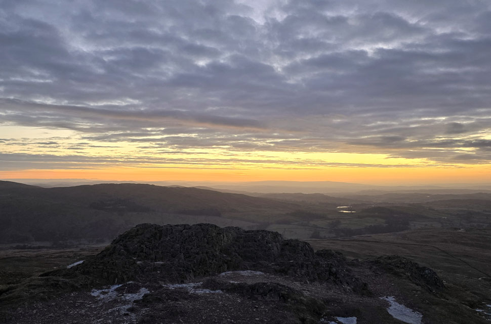 |
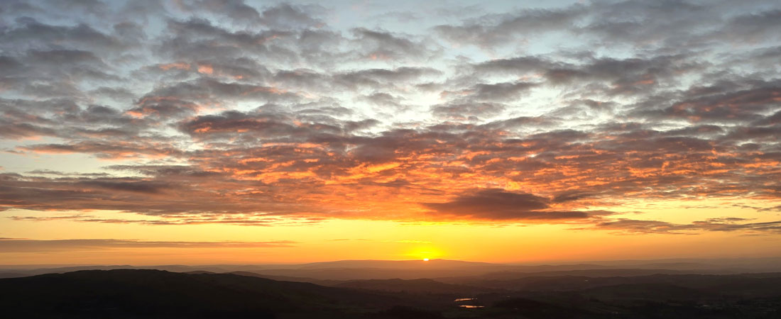
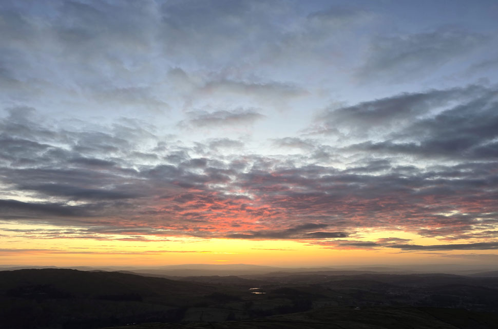
| Dawn from Wansfell Pike summit 8:09am |
Given the amount of time we had between leaving Ambleside and reaching Wansfell Pike summit, we had deliberately taken our time during our ascent, stopping to watch the sky lighten or chat about whatever was on our minds.
By the time the summit appeared, there were still forty minutes before sunrise, so we knocked it down another gear and set our pace to crawl. With about twenty minutes to go, we reached the stone wall below the summit, from where we got our first view of the colours of dawn, which spiked the butterflies in me, having ascended under the cover of darkness and the half-light. |
 |
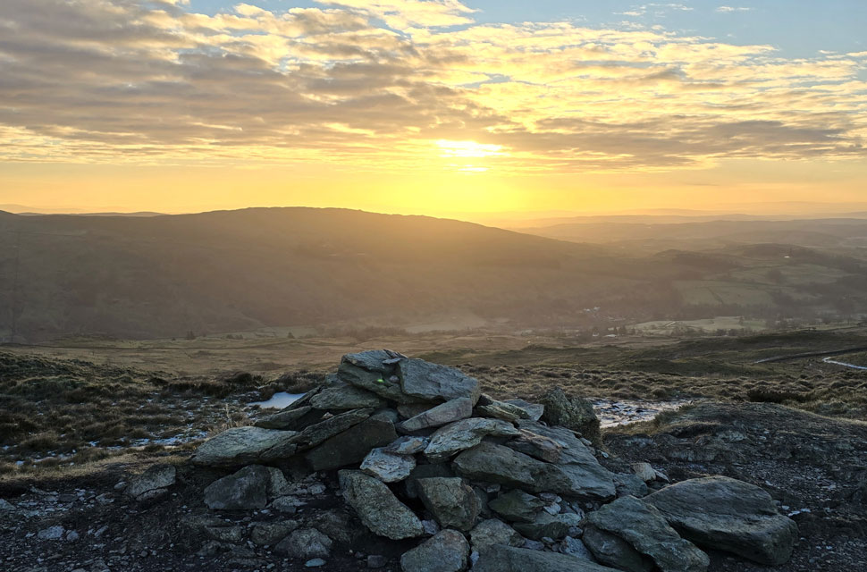
| Waiting for the sunrise 8:14am |
| With Dubbs and Borrans Reservoir's in the foreground. |
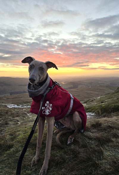 |
| Calva poses for a couple of pictures. |
|
|
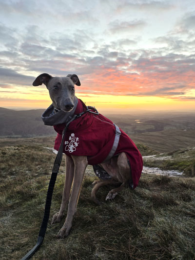 |
| Good lad. |
|
 |
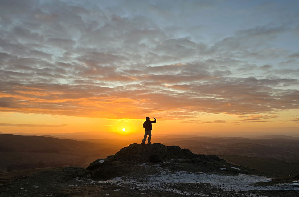
| Not long now 8:27am |
| We had been joined by a young chap who after a 'morning' had perched himself atop the summit rock soon followed by a couple, then two solo walkers all here to catch the sunrise. |
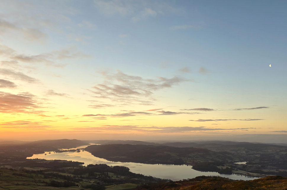 |
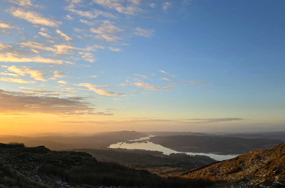
Windermere from Wansfell Pike 8:28am |
| Despite there being half a dozen people and two dogs at the summit we were all here for the same thing noting you could hear a pin drop. |
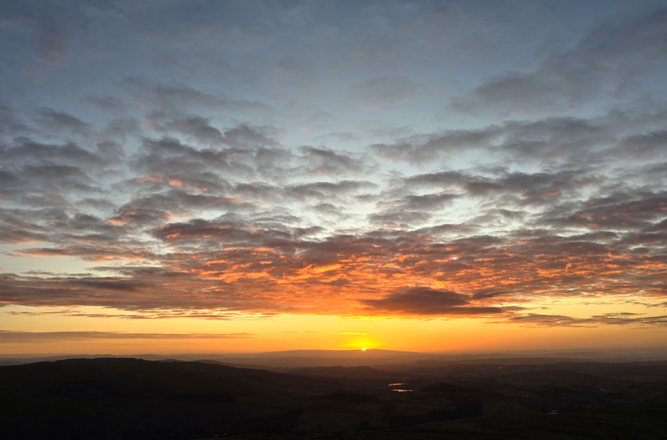 |
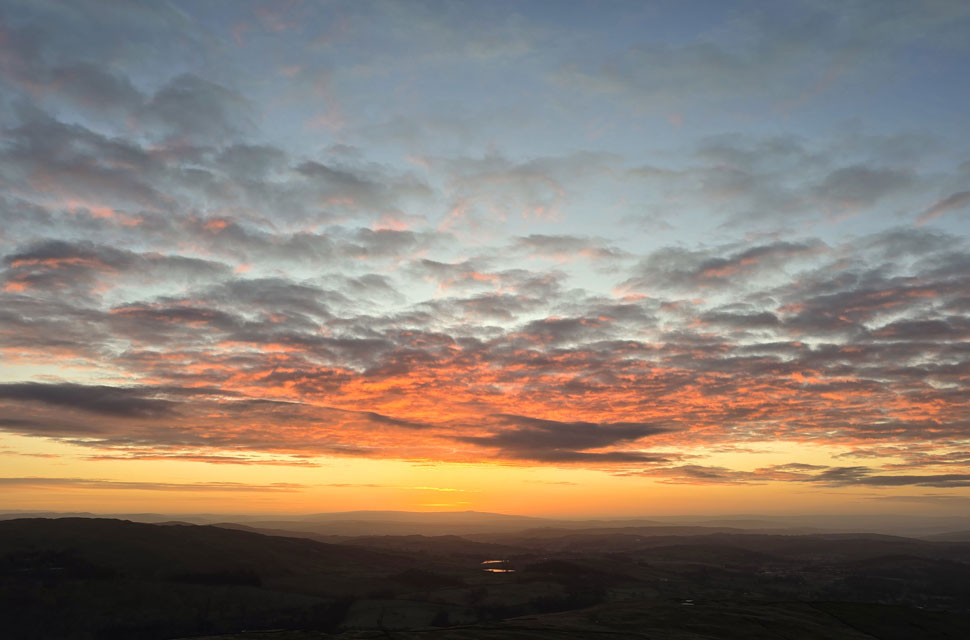
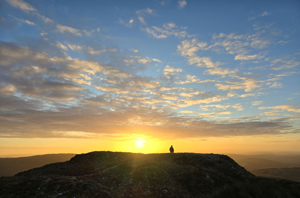
| Fiery sunrise 8:29am |
| The sun began to rise and despite the crowd nothing stirred just a bunch of folk all here to see the same thing. It wasn't just the sunrise but how peaceful it unfolded as if we were were watching it from the pews of a church. |
 |
| The young lad posed for a selfie. |
| So I took a photo. |
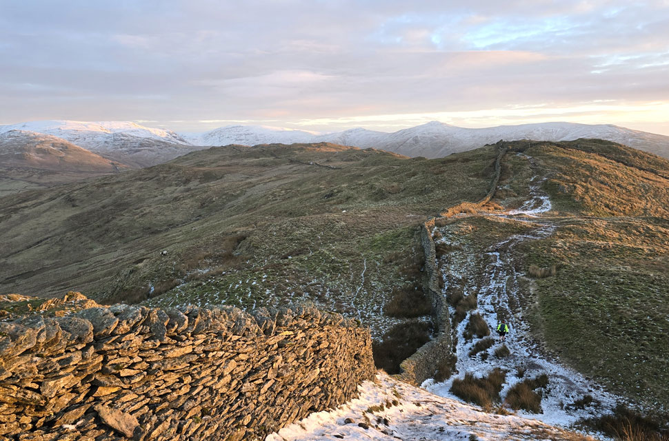 |
| Heading over the lumps and bumps towards Baystones. |
| More people began to arrive, most having just missed what I considered to be one of the best sunrises I'd seen, but aren't they all! We returned to the stone wall where we'd left our gear, looped hands into our poles and descended north towards Baystones, seen at the end of the knobbly ridge. |
 |
| David and Calva. |
| David would later inform me that Calva had walked 180 walks covering close to 800 miles with David over the course of 2025. I have said it before: just because we can no longer follow David through his website, that doesn't mean to say he's still not enjoying the Lakeland fells; if anything, he's getting out more than ever. |
 |
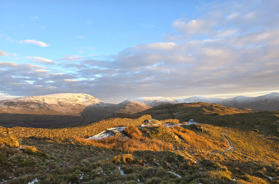
| Views towards Snarker Pike, Red Screes, Low Pike (Scandale) High Pike (Scandale) Fairfield, Great Rigg and Heron Pike. |
| With the eastern fells clear of cloud it looks like our assumption might have been wrong but with that said, there's still quite a bit of high level cloud filling in from the north east. |
 |
| Windermere appears between the grassy knolls. |
| |
 |
| Taking it all in. |
| This chap appeared back at the summit which was probably too busy for him so he took himself off, found himself a quiet place and watched the sunrise unfold from there. |
 |
| First light illuminates the wild grasses. |
| With Snarker Pike, Red Screes, the top of Kirkstone Pass, St Raven's Edge, Caudale Moor, Thresthwaite Mouth, Thornthwaite Crag, Froswick and III Bell seen in the distance. |
 |
| Looking West towards ... |
| ....the snow capped peaks of Crinkel Crags and Bow Fell. If you squint you might be able to make out that layer of cloud over the Scafells I mentioned earlier. |
 |
| Sour Howes from Baystones. |
| With the grassy knolls behind us, the ground levelled across a section of boggy marshland where it's not uncommon to find the ground bouncing beneath your feet, but this morning the ground was frozen solid, and we were able to ascend Baystones in dry boots. Baystones felt exactly the same as our time on Wansfell Pike had, minus the people, and for a few minutes we just stood there taking in the views in silence. |
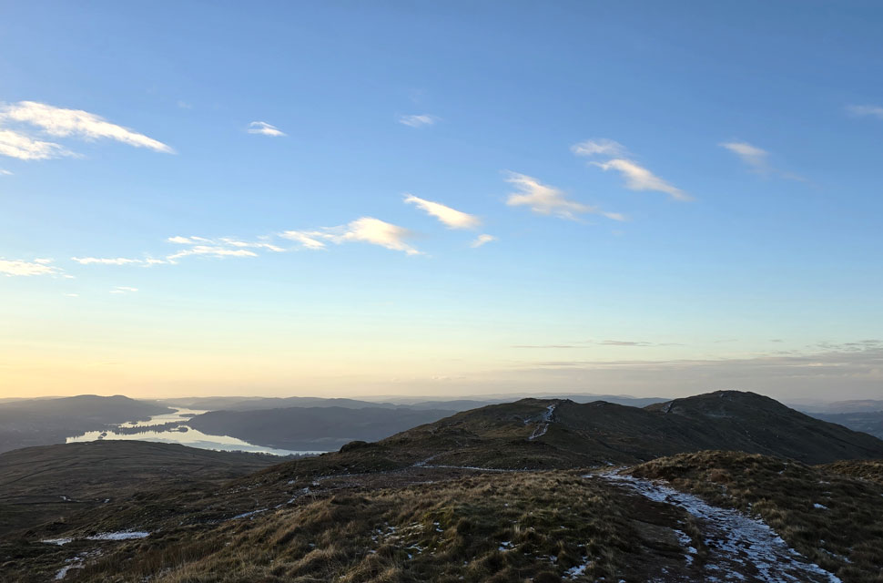 |
| Looking back on Wansfell Pike with Windermere appearing left. |
| Once last look back at Wansfell before we begin our descent towards the top of Nanny Lane. |
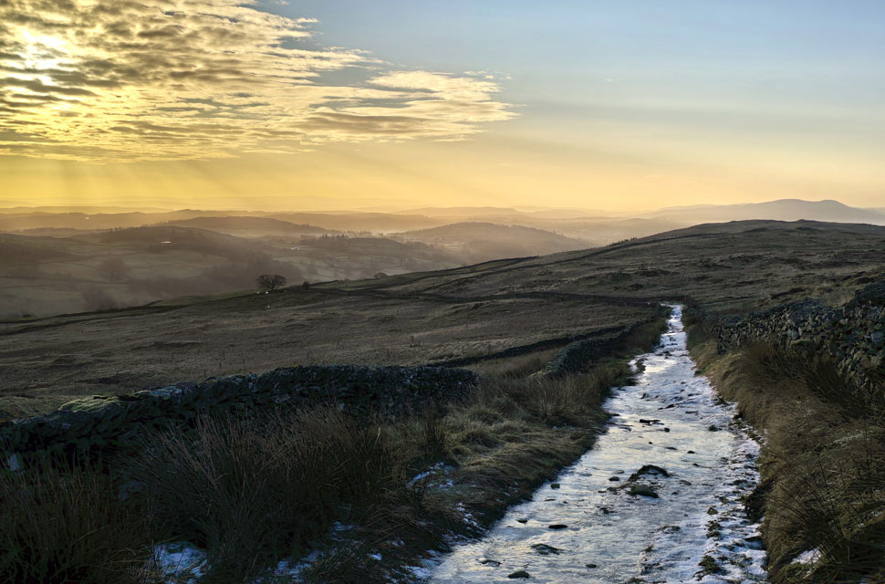 |
| Nanny Lane. |
| Despite the light descending, Nanny Lane wasn't without a few slips and slides, two of which came from myself after taking this very photo. "I thought you were a goner," David laughed. "Bloody hell," I replied. "I bet Torvel and Dean would have been proud of that recovery." I laughed back. |
 |
| Nanny Lane. |
| Almost back at Troutbeck now with the familiar tree appearing ahead. |
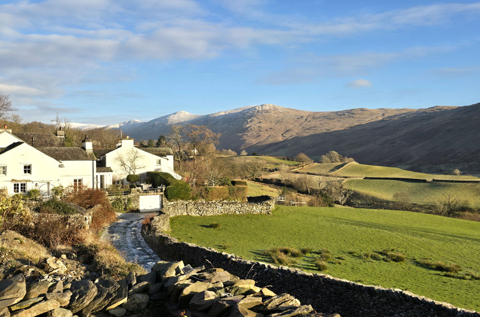 |
| Stunning views towards Thornthwaite Crag, Froswick, III Bell and Yoke. |
| Taken opposite Lanefoot Farm, Troutbeck. |
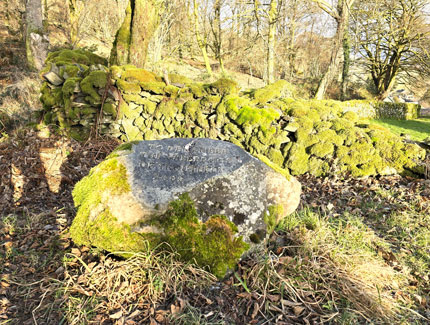 |
| 'To Remember The Sheepdogs of Troutbeck' |
|
|
 |
| Brew with a view. |
|
 |
| Robin Lane, Troutbeck. |
| After a hot brew and a quick bite to eat we shouldered packs and joined Robin Lane, an ancient road thought to be part of the High Street Roman road linking Troutbeck with Ambleside Roman Fort. |
 |
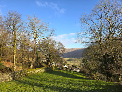
| Views towards Wansfell Pike from the Hundreds Road seen right. |
| |
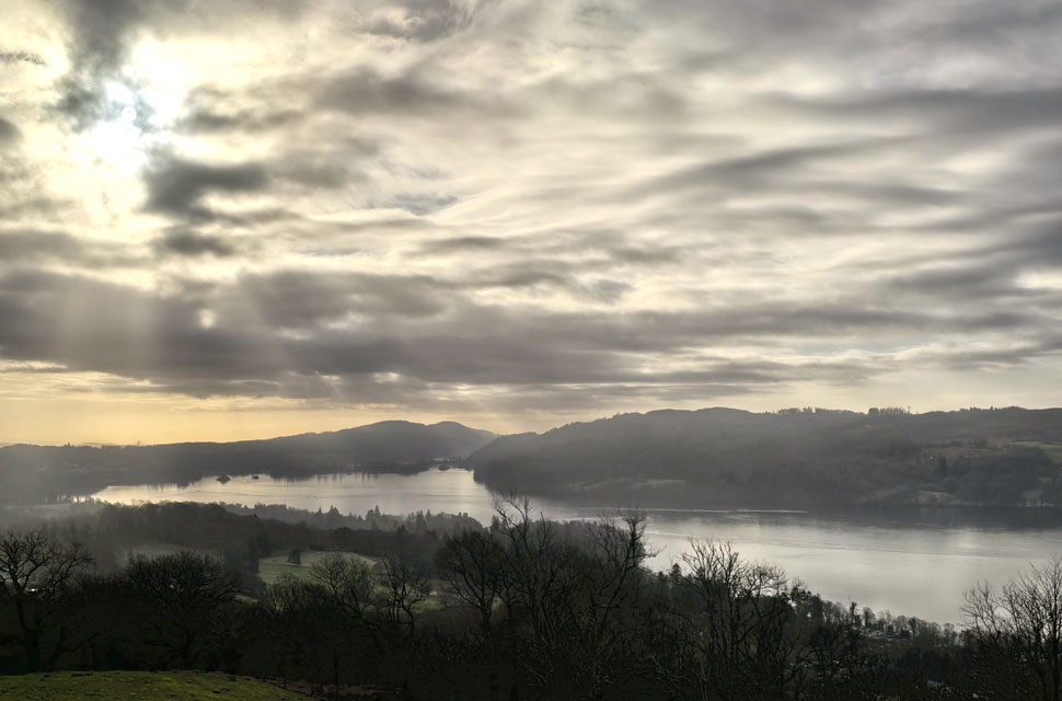 |
| Windermere from Skelghyll Woods. |
We dropped into Low Skelghyll, passing folk coming from the opposite direction, at which point I counted nine currently standing on Wansfell Pike summit to our north. Cloud finally caught up with is and began to fill in as we ascended between Low and High Skelghyll, where we passed a fell runner and then a family in the farmyard before crossing a semi-frozen Hol Beck, watched on by a family who in turn, mirrored our crossing boot for boot. We entered Skelghyll Woods, from where I took this photo overlooking Windermere as more cloud began to obscure the sunlight. The woodland track was busy with dog walkers and couples, and pleasantries were nodded as we passed them.
Passing the path bound for Wansfell Pike via Skelghyll Wood, we were reminded of the last time we were here during an epic route which included summiting Wansfell Pike before crossing Kirkstone Pass to explore Woundale and St Raven's Edge and then up onto Red Screes before the final descent to Ambleside via Snarker Pike. I still hold a lot of memories from that day and despite everything we did, funnily enough, one of my main memories was the ascent through the Skelghyll Wood. Our frozen woodland path began to weave its way down into Ambleside eventually giving way to a steep tarmac decline where we were brought back to reality by the smell of woodsmoke and the sound of traffic travelling along the A591 below. |
|
| |
| Back to top |
 |
|