|
A Riggindale Round |
 |
 |
1st May 2026 |
 |
|
|
| |
|
Overview |
|
|
| Ascent: |
2,843 Feet - 867 Metres |
| Wainwrights: |
5, High Street - The Knott - Rampsgill Head - High Raise - Kidsty Pikeb4 |
| Visiting: |
Rough Crag |
| Weather: |
Sunny Throughout With Moderate Cool Winds Across The Summits. Highs of 24°C Lows of °10 Feels Like 12°C |
| Parking: |
Car Park, Mardale Head |
| Area: |
Far Eastern |
| Miles: |
8.1 |
| Walking With: |
On My Own |
| Ordnance Survey: |
OL5 |
| Time Taken: |
4 Hours 40 Minutes |
| Route: |
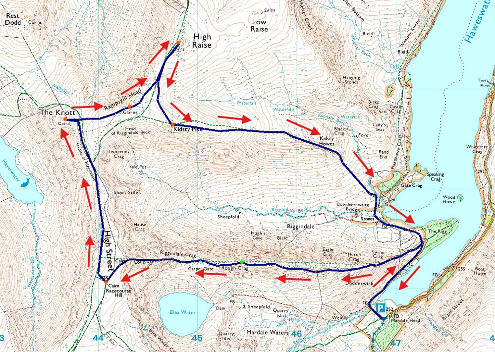
Mardale Head - Rough Crag - Caspel Gate Tarn - Long Stile - High Street - Straights of Riggindale - The Knott - Rampsgill Head - High Raise - Kidsty Pike - Kidsty Howes - Riggindale Beck - The Rigg - Mardale Head |
|
| |
|
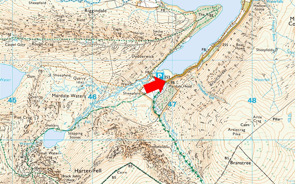
Parking Details and Map |
|
|
| Nearest Post Code: |
CA10 2QT |
| Grid Reference: |
NY 469 310 |
| Notes: |
Probably one of the most scenic car parks in Lakeland found at the head of the Mardale Valley offering easy access onto the High Street fells plus many more. The car park during Summer can fill up quickly but with most car parks in Lakeland if you time your arrival early enough your always guaranteed a parking place. Parking is free. |
|
| |
|
Map and Photo Gallery |
|
|
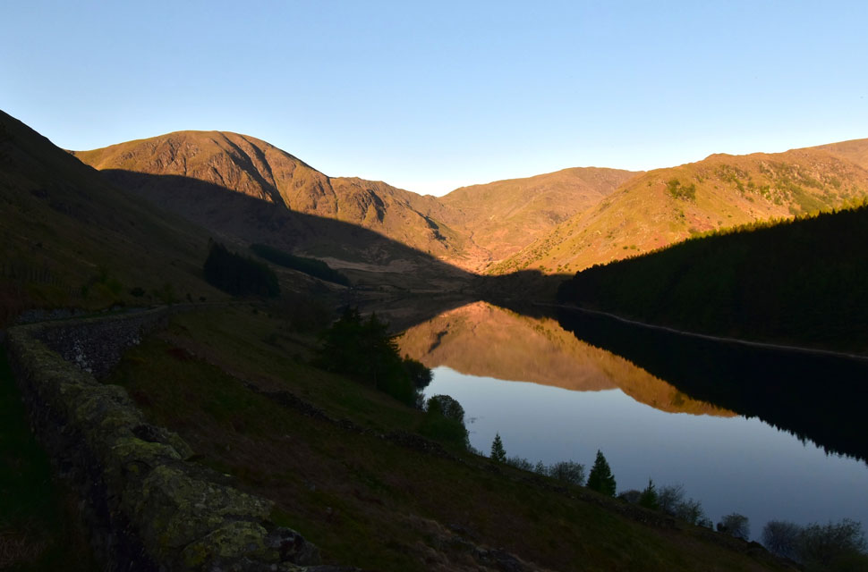 |
| Harter Fell (Mardale) The Top of Nan Bield Pass, Mardale III Bell and The Rough Crag Ridge 6:44am |
| With Haweswater looking so calm this morning I couldn't resist a quick stop to take a few photos. |
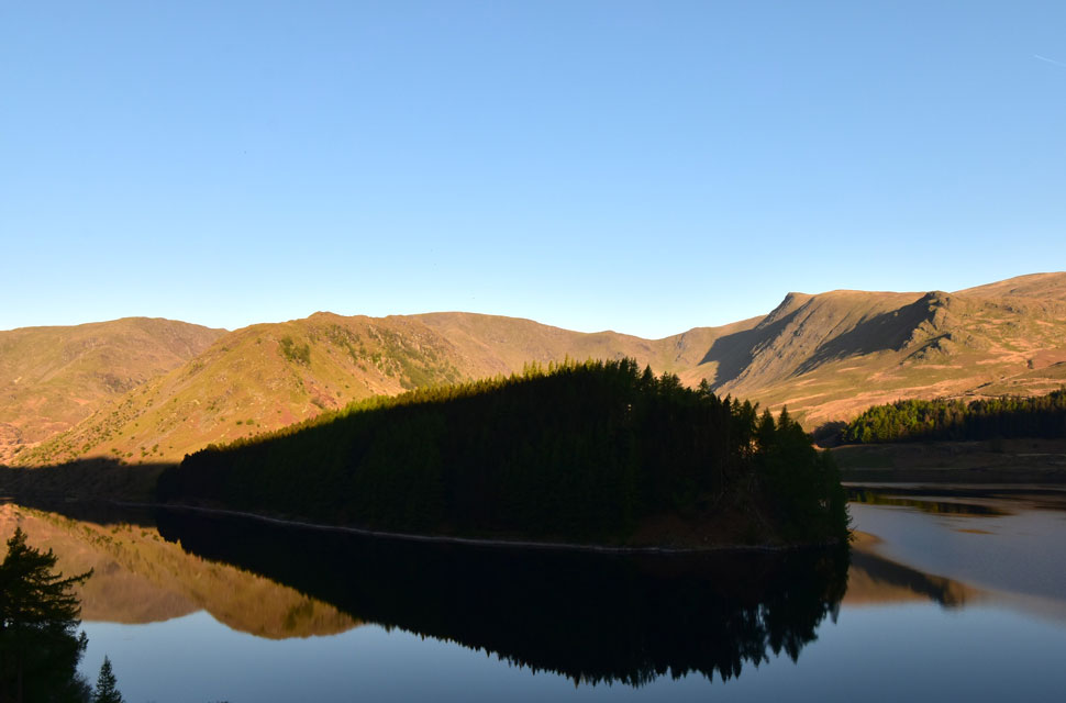 |
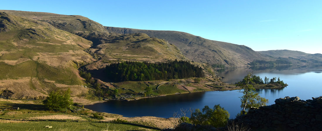
| The Rigg, The Rough Crag Ridge, Mardale III Bell, High Street, Riggindale and Kidsty Pike. |
| Mirror reflections of The Rigg over Haweswater. |
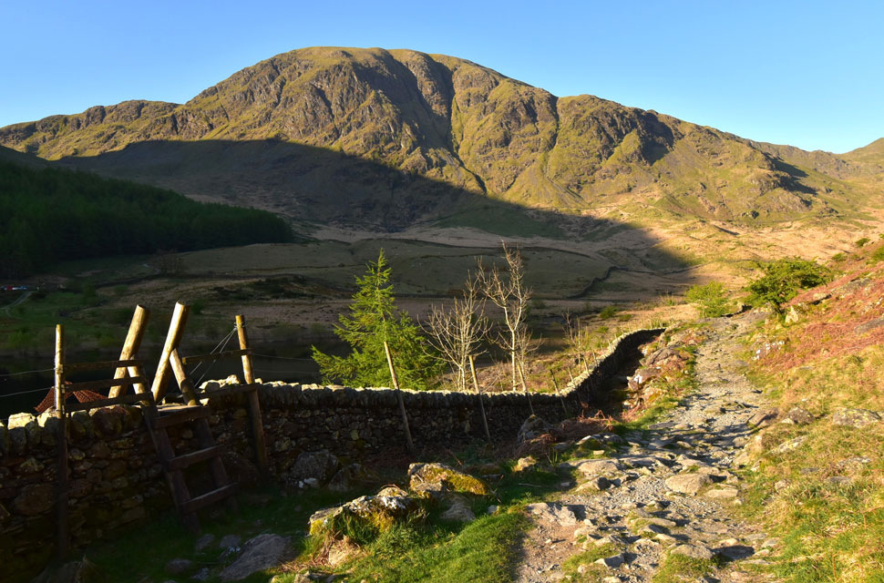 |
| Looking back on Harter Fell (Mardale) while heading towards The Rigg 7:02am 10°C |
The car park was just as tranquil as the reservoir looked and despite nine cars already parked up it was so quiet you could have heard a pin drop. I parked alongside the familiar stone wall, got out, stretched, and opened the boot to start sorting my kit. Using the wall for support, I laced my boots and then removed a long-sleeve base layer, leaving a technical T-shirt underneath, which I'd top up with a softshell to take the edge off.
The car park was still in shade, but the sun was shining on the far side of the valley where I suspected it was a degree or two warmer. After a long gulp from my water bottle I placed it back in the boot, locked the car, and passed through the deer gate at the head of the car park. Harter Fell's lower slopes was under Branstree's shadow, but it wouldn't be for long. The temperature difference between shade and sunlight was instantly noticeable, and by the time I'd crossed Riggindale Beck via the familiar footbridge I was already starting to warm up. Still, I figured I'd keep the softshell on at least until I'd made some progress on Swine Crag. |
 |
| Views towards Gate Crag, Speaking Crag, Lady's Seat, Castle Crag and Low Raise. |
| I did have in mind to do this walk in reverse but the lure of walking the Rough Crag ridge always gets the better of me just as it did this morning. |
 |
| Looking down on The Rigg, Speaking Crag, Haweswater and Brown Howe from the step in the wall below Swine Crag. |
| By now I'd removed my softshell and was benefiting from the heat of the warm morning sunshine. |
 |
| Views towards Small Water, Piot Crag, The Top of Nan Beild Pass and Mardale III Bell. |
| The flattish area towards the right is known as Mardale Waters and is generally quite a wet and boggy area. |
 |
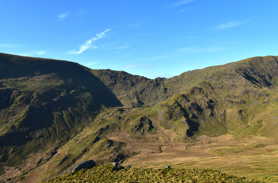
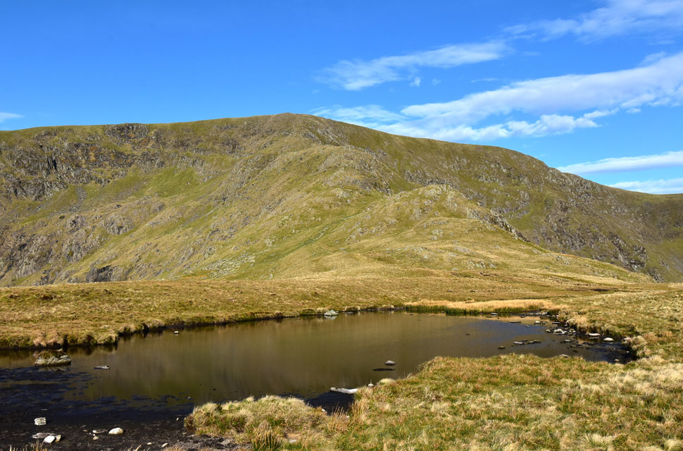
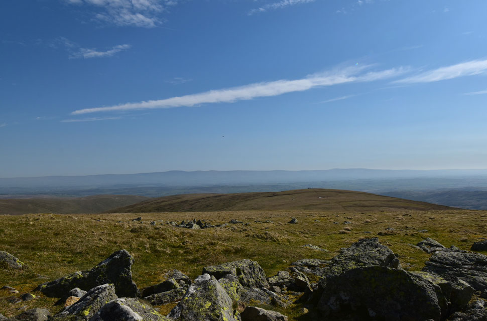
| Riggindale Crag, Long Stile, High Street and Short Stile from Rough Crag summit. |
| The ground was dry and cracked in places, making for great conditions underfoot. With more height gained I was met by a cool breeze that divided the balance between feeling comfortable in just a T-shirt or uncomfortable in a softshell. I cursed the moment I left my long-sleeve base layer in the boot of the car but hopefully as the morning progressed the temperature would begin to rise. |
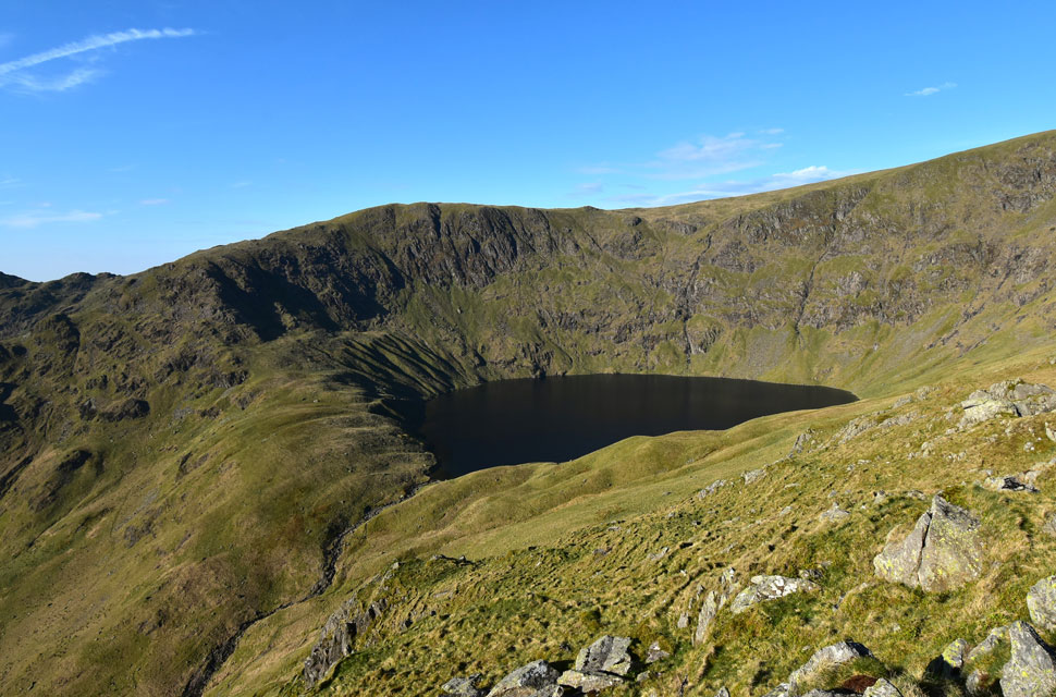 |
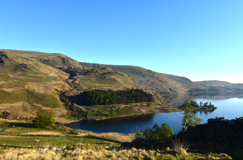
| Views towards Blea Water. |
| Overlooked by Blea Water Crag. |
 |
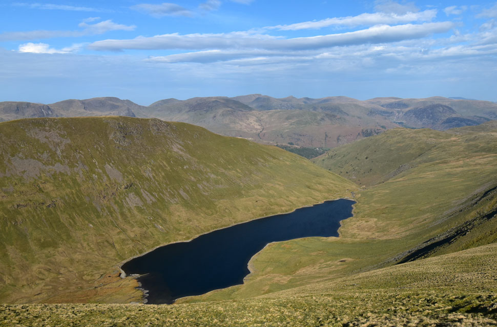
| Heading towards Caspel Gate. |
| With views of Riggindale Crag, Long Stile and Short Stile over on the right. |
 |
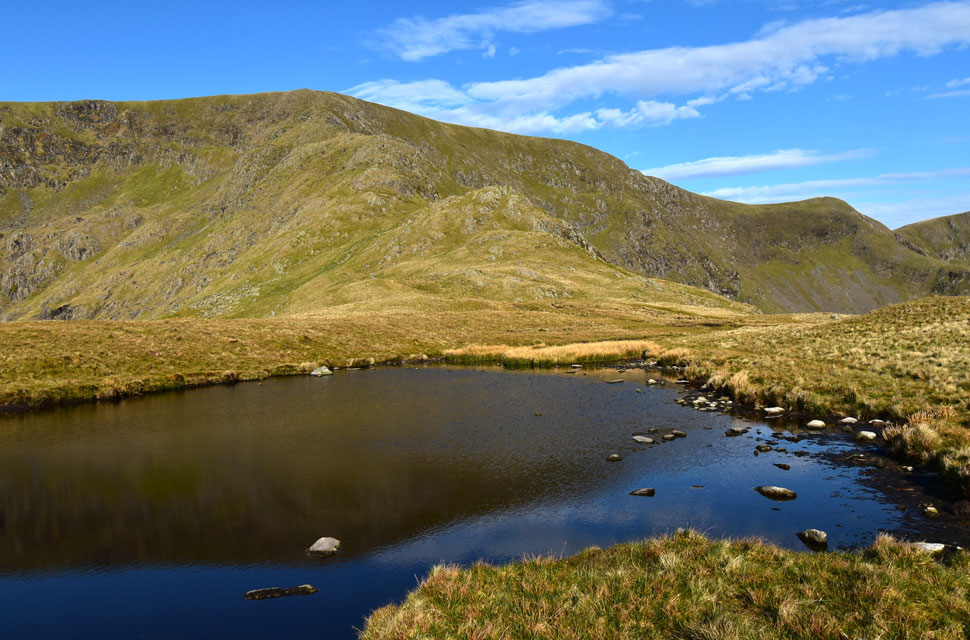
| Riggindale Crag, Long Stile and High Street from Caspel Gate Tarn. |
| I always find it remarkable that this tarn is unnamed despite lying directly within an area known as Caspel Gate. It goes without saying that most folk simply refer to it as Caspel Gate Tarn. |
 |
| Riggindale Crag, Long Stile, High Street and Short Stile from Caspel Gate Tarn. |
| A few more weeks without rain and the tarn may possible dry up but thankfuly rain is forcast tomorrow after three week break. |
 |
| Looking back towards Caspel Gate Tarn. |
| With Rough Crag in the distance. |
 |
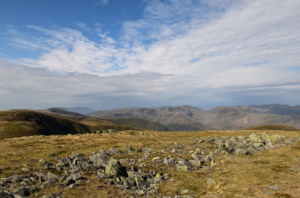
| Haweswater and The Rough Crag Ridge from the top of Long Stile. |
| I'm a big fan of the ascent of Riggindale Crag and Long Stile, and I'm getting to the point where I'm over-familiarising myself with certain sections of the path and its rock steps. I reckon if I'd left visible footprints from my last ascent, I'd probably climb it boot print for boot print as I did on today's ascent, if that makes any sense. |
 |
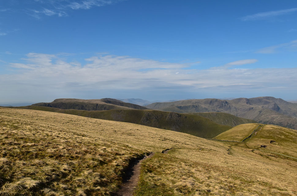
| Fairfield and the Helvellyn range from High Street. |
| Accompanied by the fresh breeze, I left Long Stile and began the familiar walk towards the trig point when I spotted a chap approaching from the direction of the Straights of Riggindale. We reached the trig almost at the same time, shared a "morning" and had a quick chat about where we were each heading next. It turned out he'd come up from Hartsop and was walking the Hayeswater Round - an excellent route. After wishing one another to enjoy the rest of the day, we parted ways: he headed off towards Thornthwaite Crag while I made for the Straights of Riggindale. |
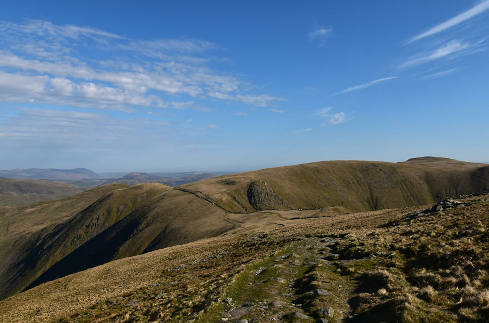 |
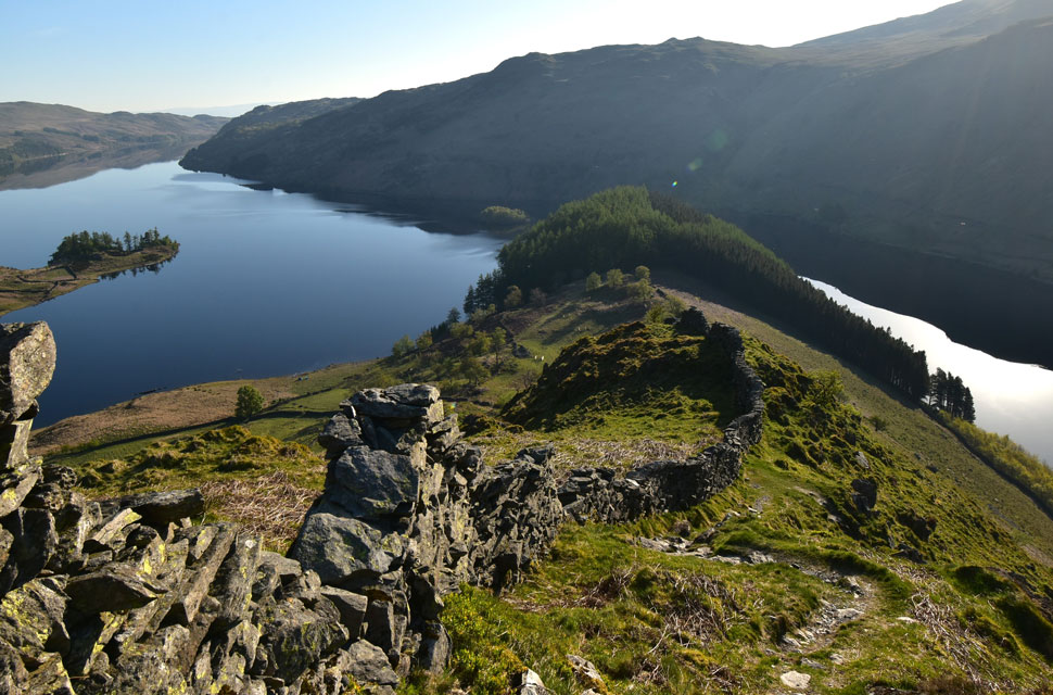
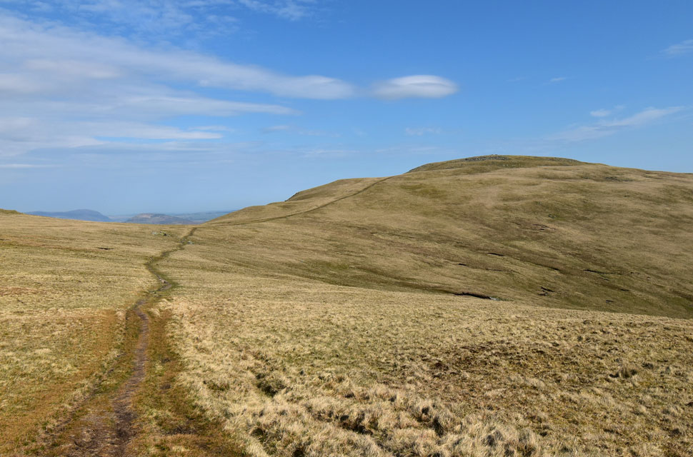
| The Knott, Rampsgill Head and High Raise from the Straights of Riggindale. |
| Not forgetting the Mell Fells and a hazy Carrock Fell and High Pike in the distance. |
 |
| Gray Crag, Brock Crags and Hayeswater from the Straights of Riggindale. |
| The forecast had said that a veil of high-level cloud would spread east during the course of the morning, which was one of the reasons I chose this walk. So far it had given me lovely clear skies, but looking south-west I could definitely see that cloud on its way. |
 |
| Looking back on High Street from the Straights of Riggindale. |
| Personal favorite view right there. |
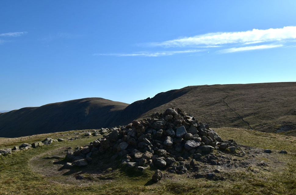 |
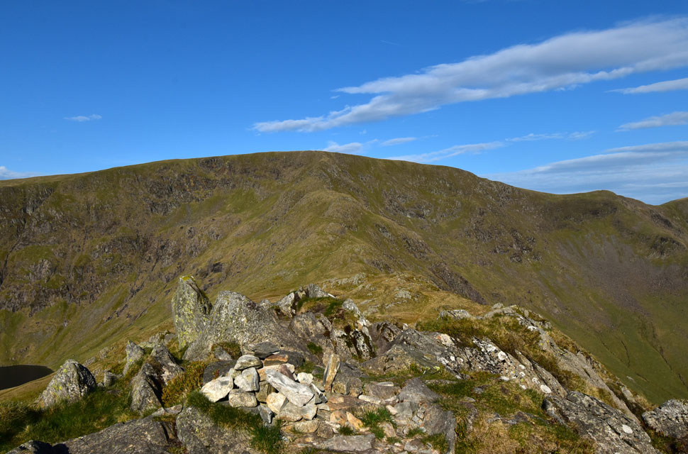
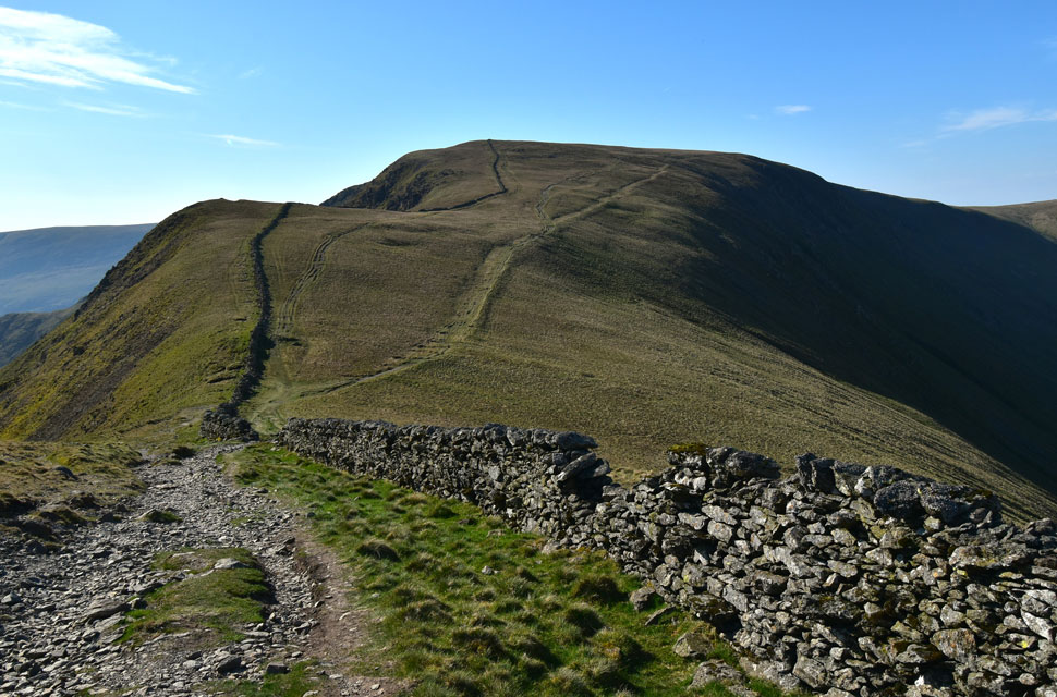
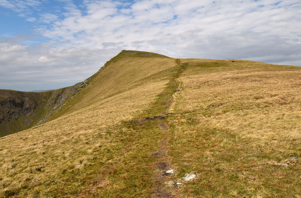
| Rampsgill Head and High Raise from The Knott. |
| I made the short pull onto The Knott, tapped the cairn with the tip of my walking pole, and paused for a few moments, allowing the cool wind to send the hairs on my arms upright. I still can't believe I've only seen one person all day. As I scanned the view, a delivery van came into sight far below, trundling its way towards Patterdale. |
 |
| Looking back on The Knott. |
| With Gray Crag, Stony Cove Pike and Caudale Moor seen to the left. |
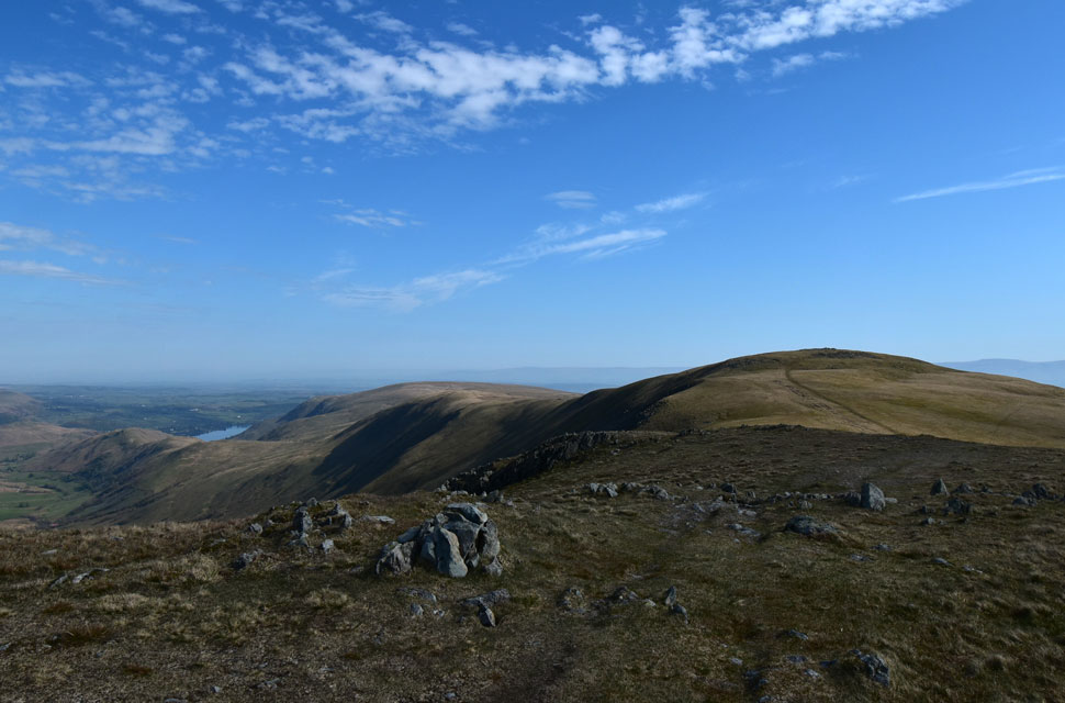 |
| Ullswater, Steel Knotts, Wether Hill and High Raise (Martindale) from Rampgill Head summit. |
| I can't ascend Rampsgill Head without being taken back to the day David, Rod and I climbed it directly from the Ramps Gill valley. If ever you're feeling a bit sadistic and fancy putting your body through pain and delight at the same time, give it a go. |
 |
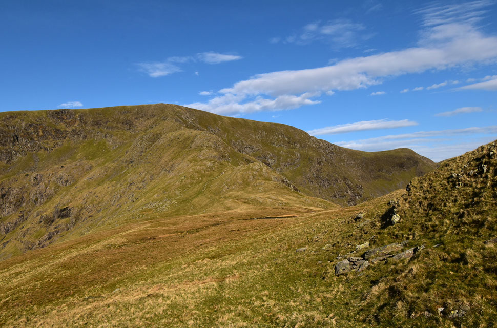
| High Raise (Martindale) from the descent of Rampsgill Head. |
| |
 |
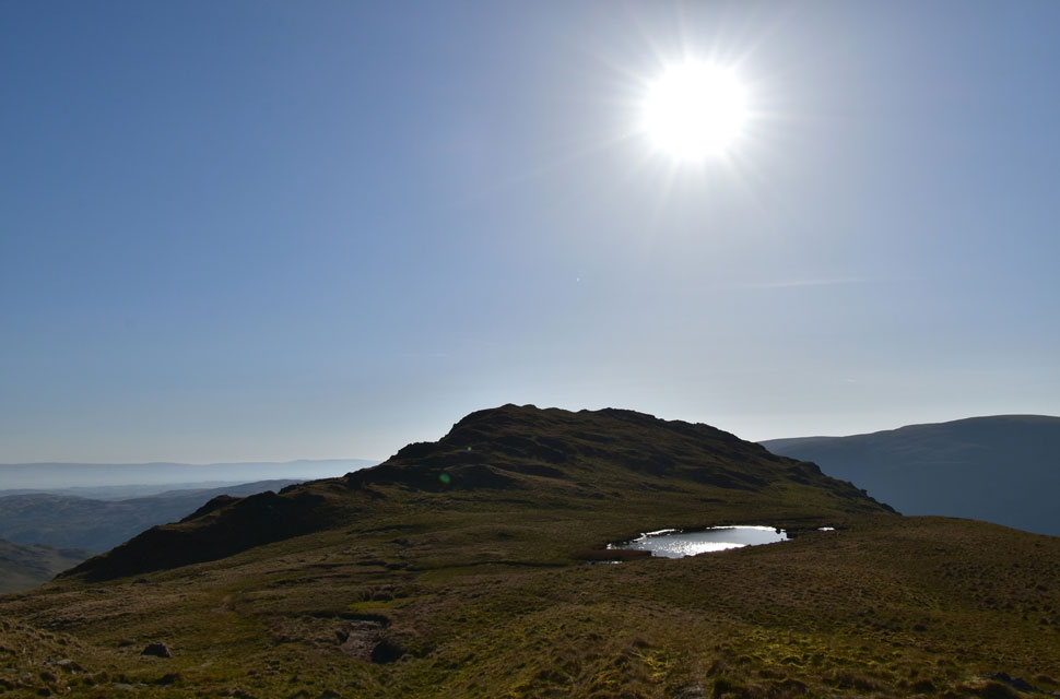
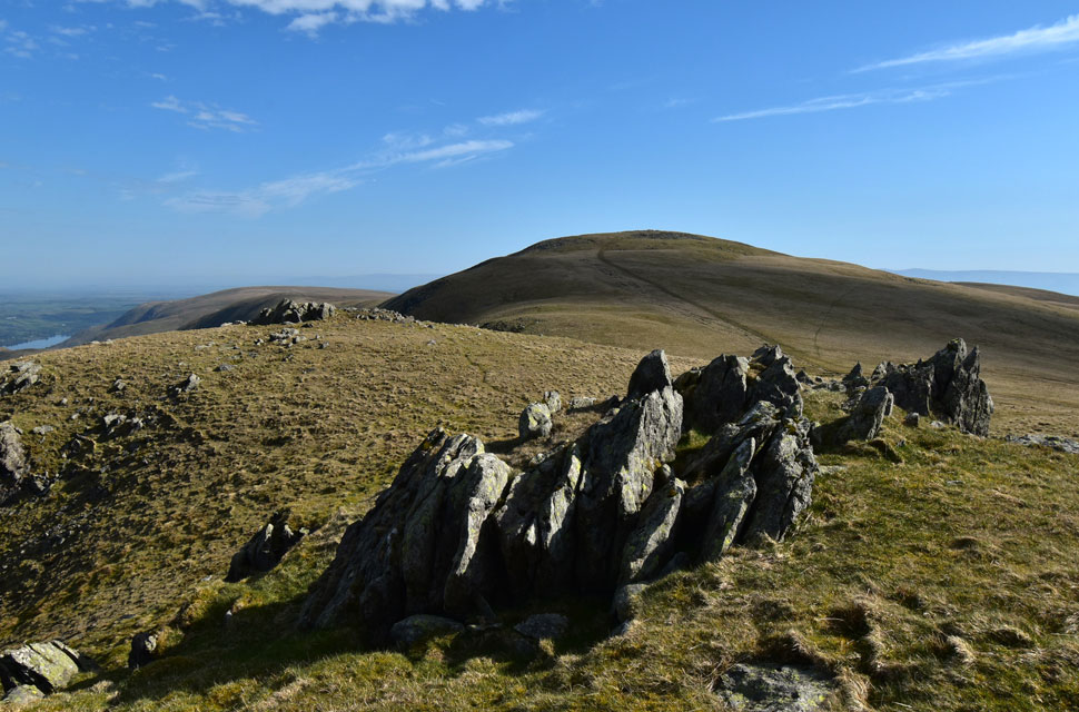
| Low Raise from High Raise summit shelter. |
| I've never been one to spend much time at a summit shelter, always opting to press on to the next summit with the exception of High Raise. This morning I was actually looking forward to easing myself down on the rock and letting the sound of silence wander in, except today the silence was interrupted by two Lapwings tweeting overhead. Just looking at this image is enough to take me back. |
 |
| Advancing high level cloud. |
| Right on queue. |
 |
| Looking back on High Raise (Martindale) |
| Seen as I make my way towards Kidsty Pike. |
 |
| Looking back on Kidsty Pike |
| As I begin my descent towards Kidsty Howes. |
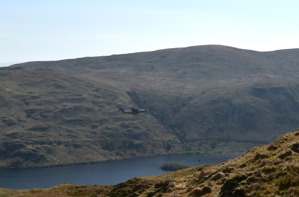 |
| Low fly-by RAF A400M over Haweswater Reservoir. |
| If it was flying any slower it would have fell out of the sky but what a sight and what a roar from those four turbo-prop engines. |
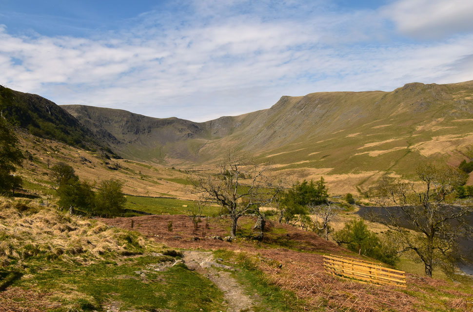 |
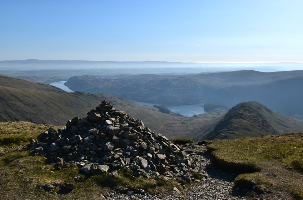
| The Riggindale Valley. |
My time on Kidsty Pike was minimal; I stopped only long enough to take in the view over the Riggindale valley towards Caspel Gate, with hazy views stretching further west. The lower I descended, the hotter it became, to the point where I could feel the backs of my ears burning. Just as I've accustomed myself to the ascent of High Street, my boots now follow the same familiar line of descent down Kidsty and Kidsty Howes. The pace is slowed by the odd rock step where Fix the Fells have been at work, improving the path with stone steps on the steepest sections, great work. With Kidsty Howes behind me, I was left with the steep grassy descent, where I picked up my pace into a jog, letting the gradient dictate my speed but my knees objected, but at least I'd burned through a good section of the slope. The ground began to level before reaching Riggindale Beck. Boggy ground underfoot and no way around it; my once dusty boots were swallowed past the eyelets, each step creating a sucking sound as the ground tried to claim my boots. By the time I reached Bowderthwaite Bridge the backs of my calves were soaked but I waded straight in to the beck to give my boots a swill and lose the half-ton of grass clinging to them.
Back on the bank, I crossed the beck and ascended onto level ground flanked by the Riggindale Standing Stones and the familiar coppice of pines. A place of memories no camera could ever show, and I left it that way. Through the pines I passed a wooden gate which, years ago, closed itself with a heavy rock and chain, but has since been replaced with a new gate and taut springs. The high-level cloud was filling in now, seeming to trap the heat at valley level. As I rounded The Rigg, Mardale Head came into view, along with its car park, where two dozen glaring windscreens shone back at me. It looked busy, though there wasn't a soul in sight to prove it. I began the gentle descent along the shores of Haweswater, the sun glistening on its surface. I crossed Mardale Beck, my soaked boots heavy on the wooden deck, before arriving back at the car park, holding the deer gate for a woman to pass through and being thanked kindly. Today's walk took me back to when Wainwright wrote about how isolated and desolate the Far Eastern Fells were. These days it's hard to take those words seriously, but today I was taken back to a time when I could still relate to what Wainwright meant. |
|
| |
| Back to top |
 |
|