|
Great Calva & Knott from Mosedale |
 |
 |
5th May 2026 |
 |
|
|
| |
|
Overview |
|
|
| Ascent: |
2,150 Feet - 655 Metres |
| Wainwrights: |
2, Great Calva - Knott |
| Visiting: |
Coomb Height |
| Weather: |
Overcast, Showers, Bright Spells & Light Winds Across The Summits. Highs of 16°C Lows of 9°C Feels Like 5°C |
| Parking: |
Roadside Parking, Mosedale |
| Area: |
Northern |
| Miles: |
9.2 |
| Walking With: |
On My Own |
| Ordnance Survey: |
OL4 |
| Time Taken: |
4 Hours 10 Minutes |
| Route: |
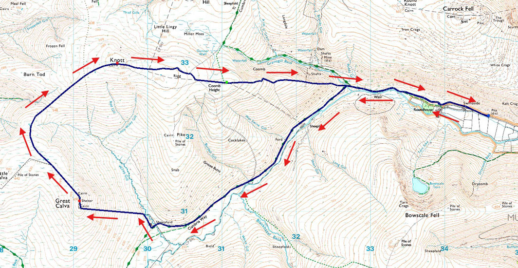
Mosedale - Swinside - Roundhouse - River Caldew - Cumbrian Way - Great Calva - Top of Wiley Gill - Knott - Coomb Height - Roundhouse - Swinside - Mosedale |
|
| |
|
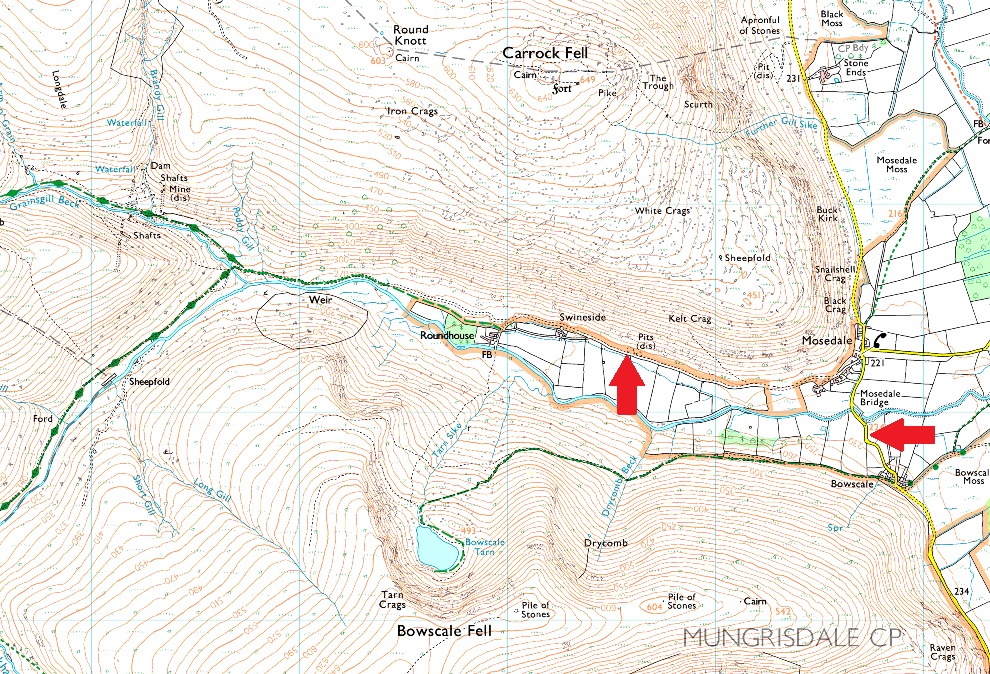
Parking Details and Map |
|
|
| Nearest Post Code: |
CA11 0XQ |
| Grid Reference: |
NY 345 832 |
|
| |
|
Map and Photo Gallery |
|
|
 |
| |
| |
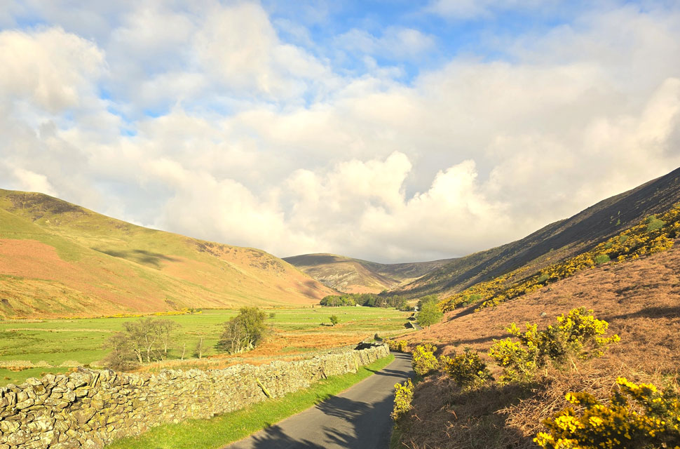 |
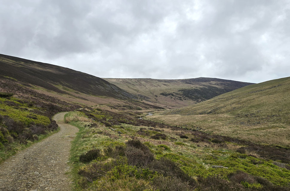
| Looking through Mosedale towards Roundhouse and Coomb Height 7:30am 9°C |
| Just thirty minutes ago I was sat in the lay-by on the A591 outside Grasmere, boots laced, contemplating whether to go ahead with my planned route of High Raise via Tarn Crag. Half an hour earlier the central fells were smothered in cloud so low it was barely clearing the treetops, and to add to it, it was drizzling. High Raise deserved a better forecast, so I returned to the car and considered a plan B. Feeling a flicker of motivation from the lighter skies further north as opposed to the dark skies over Grasmere I switched the engine on and headed north. I left Grasmere behind and drove over Dunmail Raise, by which time chinks of blue were starting to appear. By the time I reached St John's-in-the-Vale I had to drop the sun visor to shield my eyes from the direct sunlight. I couldn't believe it.
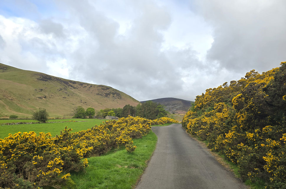
Fourteen miles later I arrived in Mosedale under glorious sunshine, the grey now behind me. I should add, the sun was climbing into cloud so I wasn't sure how long it would last but what a contrast. The last time I parked in Mosedale was back in 2015 during my Harry Griffin two-thousand-footers challenge. The road through the valley was potholed back then, which is why I parked so far east today. Rod had warned me that the further into the valley you go, the worse the potholes, not something that I didn't want to risk after picking up my new company car with its low-profile tyres just two weeks ago. I left the car in what looks like a side-cutting but it's actually a disused pit where you can squeeze about three cars in. Arriving during the week, I had no trouble parking here this morning. I finished kitting up by adding my softshell and packing a waterproof jacket, knowing at some point I'd be taking one or two soakings according to the forecast. The temperature felt more like early spring than May, and with a cool breeze blowing straight down the valley, I added a pair of gloves which would stay on for most of the walk. |
 |
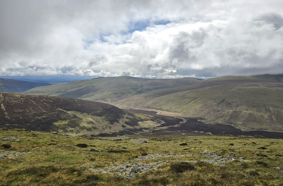
| Coomb Height and Roundhouse. |
| The sun did indeed climb into cloud just five minutes after leaving the car, but at least it was dry, if a touch on the cool side. One of the main reasons I'd chosen to start my walk in Mosedale was the 3.5 mile approach through the valley, where it meets the Cumbrian Way alongside the River Caldew, three and a half miles of valley and river walking before boots even touch fell. Sounds good to me. |
 |
| The River Caldew. |
| The start of the walk incorporates about 600 feet of ascent before the base of Great Calva is reached, but you'd hardly notice it with only the sound of the river and the lapwings for company. Mind you, I'll be ascending Great Calva via its steepest side, so I'd best enjoy the flat while I can. |
 |
| Looking back on Carrock Fell. |
| With the heather covered lower slopes of Coomb Height (my route of descent) seen left. |
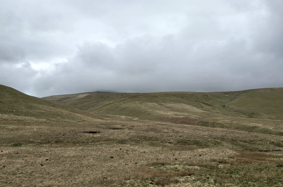 |
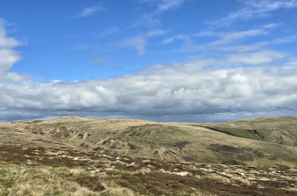
| Views towards Mungrisdale Common and Blencathra lost in cloud. |
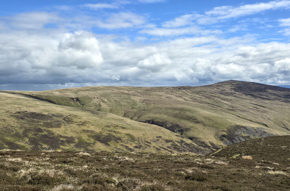
| It doesn't look like a very interesting image at first glance, but I love this area behind Blencathra, with Blackhazel Beck tucked into the dip and White Gill off to the right. |
 |
| Lonscale Fell (Pike) Burnt Horse, Sale How and Skiddaw in cloud. |
| The Cumbrian Way deviates away from the Caldew and passes below the slopes of Cocklakes and Burdell Gill, where I came across this interesting sheepfold complete with a ruined hut, its roof timbers long gone. |
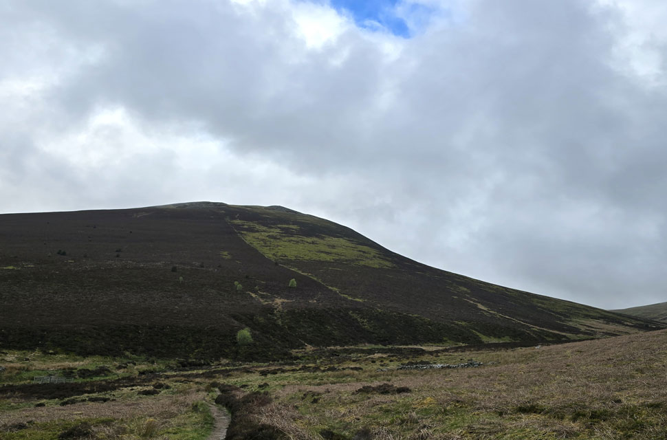 |
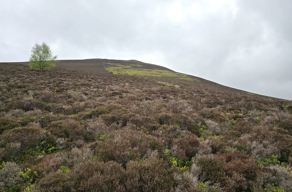
| Great Calva comes into view. |
| This was my first view of Great Calva I'd had all morning, and it's one that filled me with a bit of dread knowing how steep that fence line is - but first I have to reach it. To get there, I cross Wiley Gill via the wooden footbridge on the left, then follow a grassy path towards the base of a stone gully, shown in the image as the light strip between the two trees before following a trod to reach the fence. |
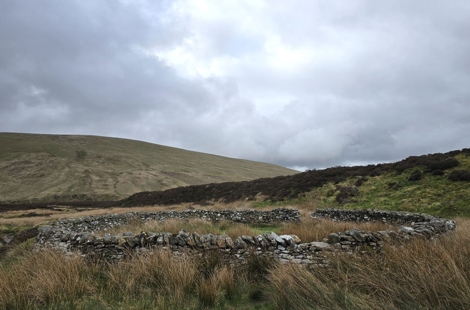 |
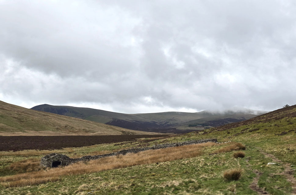
| I pass a second circular sheepfold. |
| A historic work of art, laid testament to the men who built it. |
 |
| Great Calva from the East. |
| I followed a narrow trod through the heather towards the fence line, telling myself "it's not as steep as it looks" knowing full well it was, and then some. |
 |
| Looking down the fenceline with views of Pike (left) Bowscale Fell (centre) and Mungrisdale Common (right) |
| Shortly after taking this photo I got my first rain shower of the morning, arriving in spectacular Lakeland fashion with no warning, just a barrage of vertical rain. I de-shouldered and swapped my softshell for my waterproof jacket as quick as I could but I still managed to soak my baselayer. |
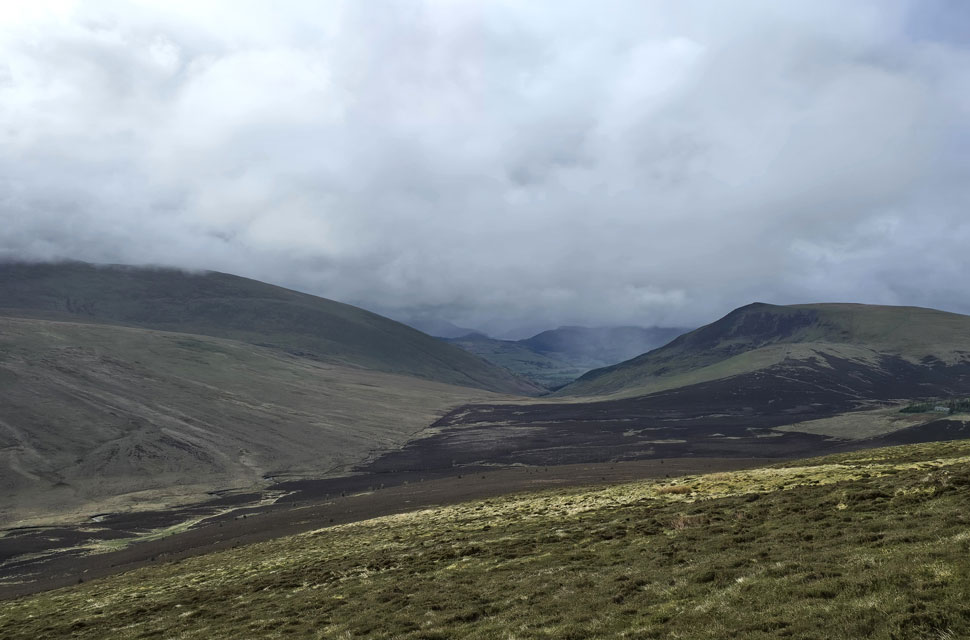 |
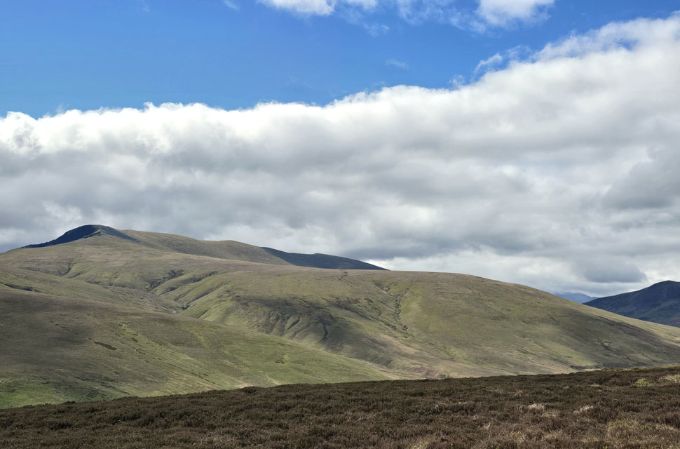
| Views over the Cumbrian Way towards the spine of Lakeland. |
| With Mungrisdale Common and Blencathra to the left, and Lonscale Fell (Pike) and Burnt Horse to the right. On a clear day you can see as far as Thirlmere and Dunmail Raise, but this morning it's looking more like Mordor after the shower had past. |
 |
| Sunny spells arrive. |
| The good thing about showers is they're usually followed by a few minutes of bright spells demonstrated here shortly before I arrived at the summit. |
 |
| Blencathra and Lonscale Fell (Pike) from Great Calva summit. |
| It's been seven years since my last visit, and no matter the conditions, how can you not love that view. By now it was starting to clear a little too, with Thirlmere coming into view. |
 |
| Cloud clearing, Blencathra and Mungrisdale Common. |
| During the whole ascent the cloud was only just above Mungrisdale Common with Blencathra completely below the cloudline, but the cloud is beginning to lift as the morning progresses. |
 |
| Blue skies over Skiddaw. |
| I spent a good five minutes getting reaquainted with Great Calva and its views before beginning my descent from where I took in this view of Skiddaw with Sale How seen centre and Bakestall far right. |
 |
| Views over Little Calva. |
| With Bakestall seen left. |
 |
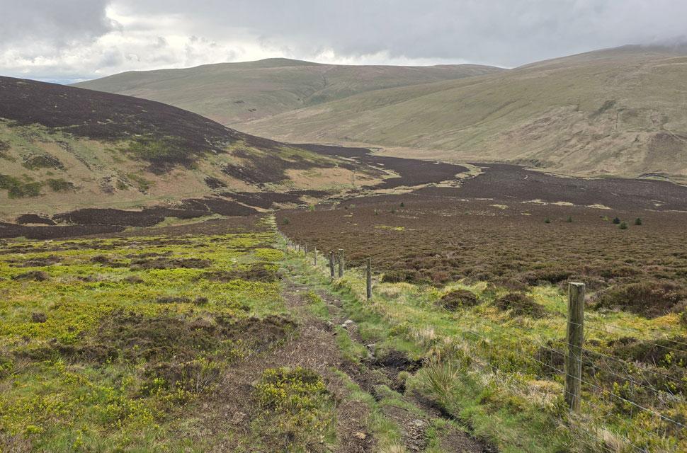
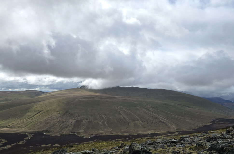
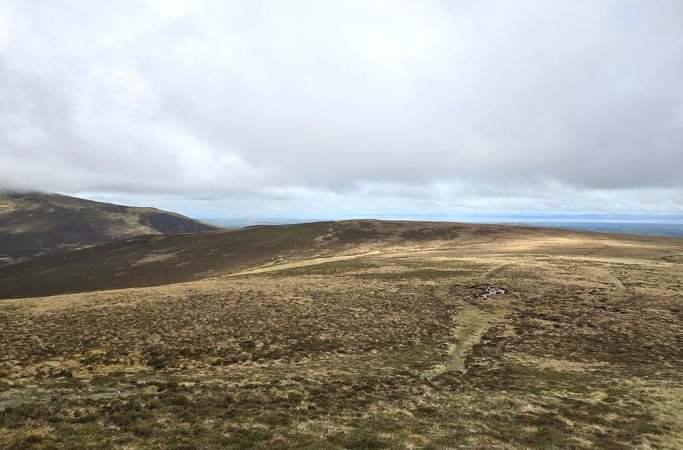
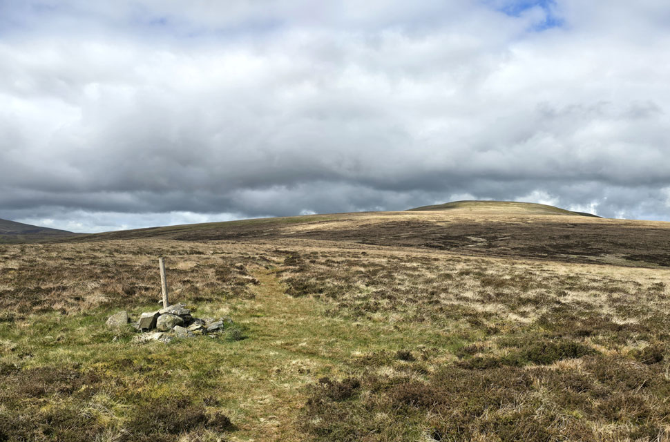
| Crossing the col above Wiley Gill linking Great Calva with Knott. |
| I descended Great Calva and passed a local chap with his two Labradors, one golden and the other black, exchanging just a morning nod. Looking back, he was making good ground reaching the summit in less than five minutes after passing me. |
 |
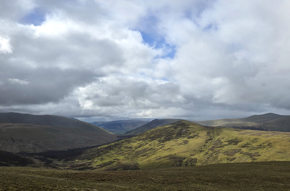
| Looking back on Broad End, Bakestall, Burnt Todd and Brockle Crag (Great Cockup) with Bassenthwaite Lake and Sale Fell in the distance. |
| I crossed the grassy col and began my ascent of Knott, loving the steady and at times, the steep slog up the fellside. I paused for a quick breather and turned around, just in time to spot the local chap and his two Labradors about to cross the col below. Blimey, I thought, this guy is covering some ground at this rate he'll reach Knott's summit before I do. I wasn't in a race, just enjoying the ascent, so I got on with it. When I reached the shoulder I turned again to see how close he'd gained on me, only to find he wasn't there. The only explanation was that halfway across the col he'd dropped into Hause Gill on the right. |
 |
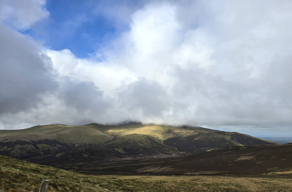
| Sunshine on Great Calva from Knott summit. |
| For the few seconds it lasted. |
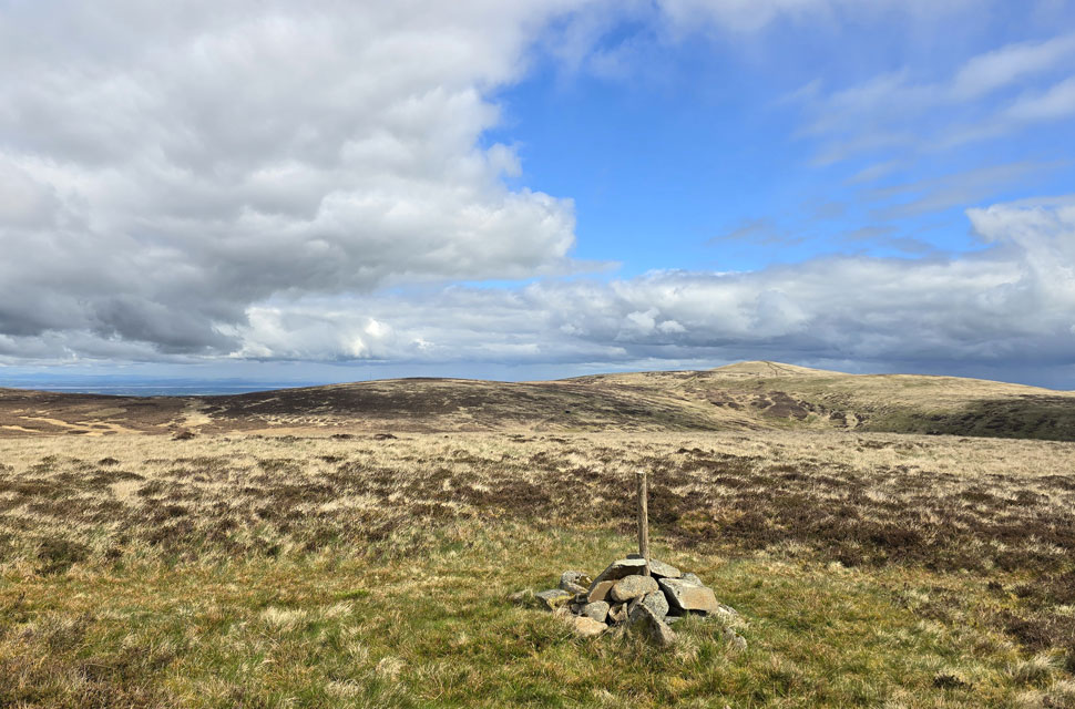 |
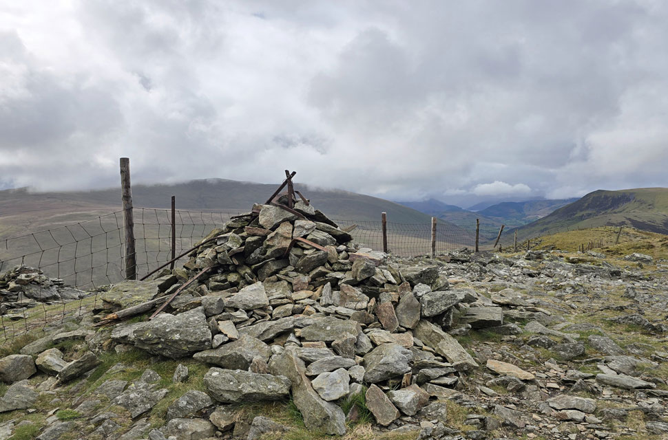
| Great Lingy Hill, Hare Stones and High Pike (Caldbeck) from Coomb Height summit. |
| I left Knott and at first bore left before remembering I needed the less prominent path to the right, which would lead me directly to Coomb Height. In fact, both paths cross over a section known as Rigg, but by this time it had started raining again and I was going off memory. It was a dull drudge across here, and possibly the wettest my boots had been all morning. I lost count of how many showers caught me until I finally reached Coomb Height just as the sun came out in spectacular fashion. |
 |
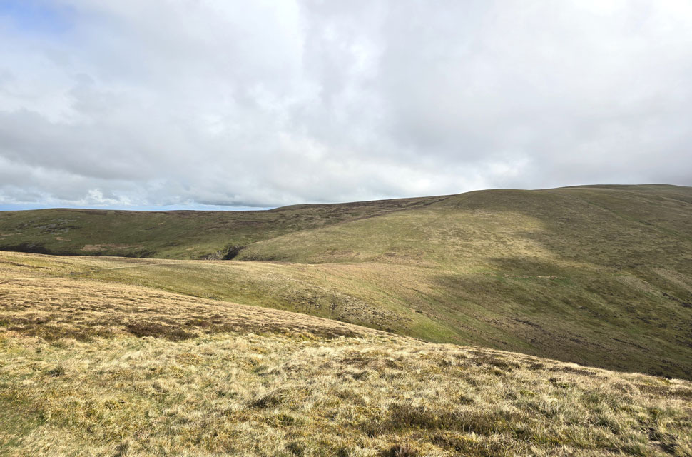
| Looking back on The Rigg (foreground) with Knott seen in the distance. |
| Taken from Coomb Height summit. |
 |
| A view of Miller Moss and High Pike (Caldbeck) |
| With Miton Hill on Carrock Fell towards the right. |
 |
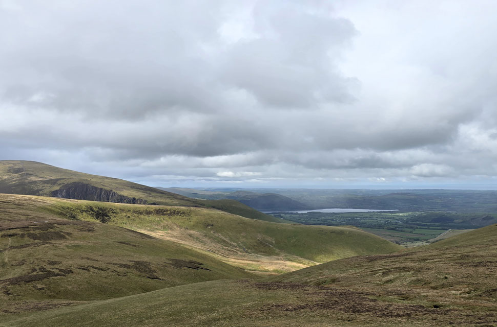
| Descending Coomb Height. |
| With views of Carrock Fell and the Mosedale Valley below. |
 |
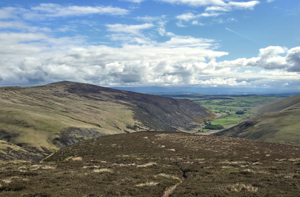
| Carrock Fell and Miton Hill from Coomb Height. |
| The dark cleft to the left is Brandy Gill with Drygill Head seen top left. |
 |
| Great Lingy Hill, Hare Stones and High Pike (Caldbeck) |
| Those with a keen eye may be able to spot Lingy Hut seen as the black dot in the centre left of the photo. |
 |
| Blencathra, Mungrisdale Common and Lonscale Fell (Pike) |
| What a difference four hours makes. |
 |
| Mosedale. |
| |
 |
| Coomb Height from Swinside, Mosedale. |
| Still not quite believing my luck with the sunshine I began my descent from Coomb Height, following a narrow trod through thick heather where I was forced to place one foot directly in front of the other rather than walking side-by-side. I was thankful for the long walking trousers, but the warm sunshine more than made up for the awkward descent. I reached a second cairn overlooking Mosedale, from where I spotted four cars and a van that had braved the potholes and driven as far as the Cumbrian Way. I was still wearing my waterproof jacket, having removed my gloves at Coomb Height they'd begun to seep through during the last showers, leaving my hands looking like they'd been in the bath too long. Hard to believe they had a healthy tan this morning.
The path drops through a ditch very similar to the one found on Hart Side - an old prospecting trench I suspect before threading through a cluster of white stones not marked on the map. The path finally widens flanked by dead bracken and grass underfoot and finally the stone bridge over Grainsgill Beck. I'd left the breeze confined to the tops, and down in the valley it was much warmer now so I deshouldered, took off my waterproof jacket and tucked it under the hood of my pack before starting the mile-and-a-half walk back to the car. By then it had started to cloud over again, the brightness replaced by a few drops of rain followed by another shower. |
|
| |
| Back to top |
 |
|