|
Swindale, Mosedale, Branstree & Hare Shaw from Naddle Bridge |
 |
 |
16th May 2026 |
 |
|
|
| |
|
Overview |
|
|
| Ascent: |
2,400 Feet - 731 Metres |
| Wainwrights: |
2, Branstree - Selside Pike |
| Visiting: |
4, Artle Crag - High Howes - Hare Shaw - Harper Hills |
| Weather: |
A Bright Start With High Level Cloud Building Through The Morning. Feeling Warm In The Sunshine. Highs of 15°C Lows of 3°C |
| Parking: |
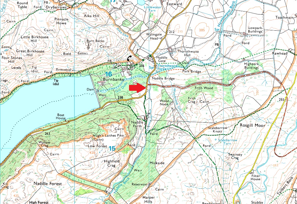
Roadside Parking, Naddle Bridge (Burnbanks) |
| Area: |
Far Eastern |
| Miles: |
13.6 |
| Walking With: |
David Hall & Rod Hepplewhite |
| Ordnance Survey: |
OL5 |
| Time Taken: |
6 Hours 20 Minutes |
| Route: |
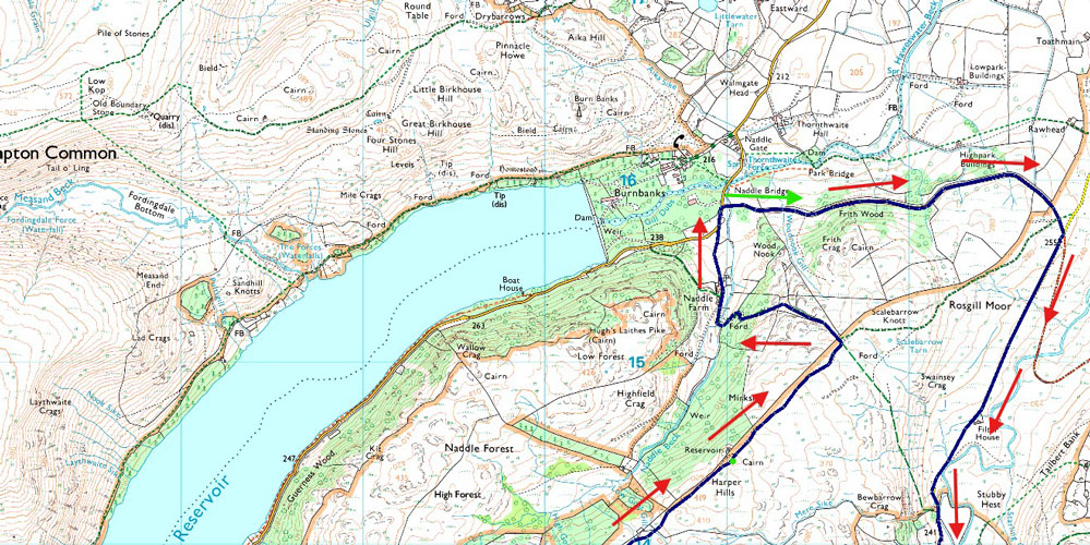
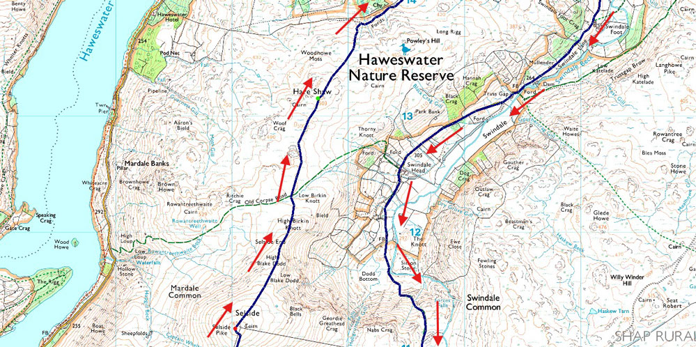
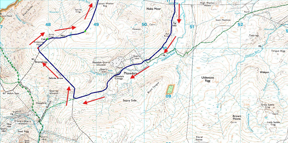
Naddle Bridge - Old Concrete Road - Rosgill Moor - Swindale Foot - Swindale Lane - Swindale Head - Mosedale - Mosedale Cottage - Selside Brow - Branstree - Artle Crag - High Howes - Selside Pike - Selside End - Hare Shaw - Chimney - Harper Hills - Naddle Farm - Naddle Bridge |
|
| |
|
Parking Details and Map |
|
|
| Nearest Post Code: |
CA10 2RW |
| Grid Reference: |
NY 509 515 |
|
| |
|
Map and Photo Gallery |
|
|
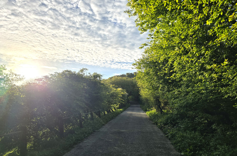 |
| The Concrete Road, Naddle Bridge Burnbanks 6:32am 3°C |
David had come up with this walk as part of a number of routes he's put together focused on visiting fell tops and valleys in the Far Eastern Fells. This particular route was one of the longer walks, and when he mentioned it to Rod and me we immediately asked if we could join him. The trouble was finding a weekend when we were all available and after a dry spell too, because anyone who's walked through Mosedale will know that despite its solitude, it can be a bog-fest. I'm not quite sure what's happening with the weather at the moment. By now we should be enjoying warm, sunny days, but the temperature is struggling to reach the mid-teens, making May feel like an extension of spring.
The good news was it hadn't been too wet, and by the beginning of the week the trio were swapping emails with this walk in mind. The forecast held, and we planned to meet at a small lay-by just outside the hamlet of Burnbanks at 6:45am for a 7:00am start. I arrived early even by my standards at 6:20am to find Rod already kitting up, shortly followed by David. By 6:30am we were booted up and ready to go. The walk starts on The Concrete Road, which isn't just a nickname it's actually named The Concrete Road. It was constructed in the 1920s to transport materials for the construction of the Haweswater Dam. It's now a private road and still links Burnbanks with Keld and Shap though these days it's more popular with cyclists and hikers than construction wagons. |
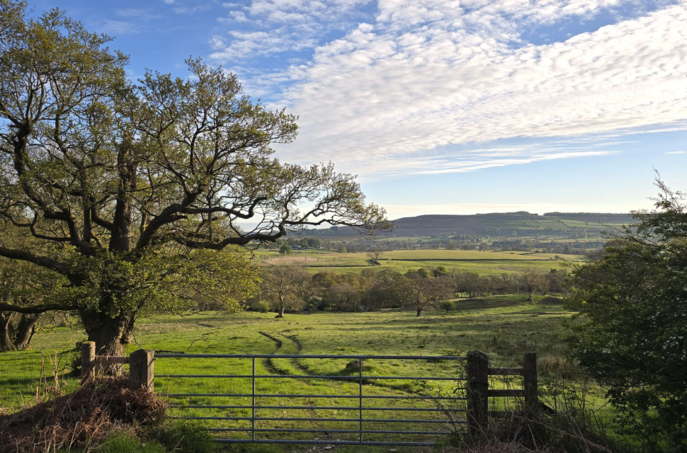 |
| A view over Bampton Grange towards Knipescar Common from The Concrete Road. |
| The forecast was true to its word, promising a bright start which is exactly what we got. What we didn't expect were the low temperatures, barely above freezing. Wearing shorts and gloves at the same time wasn't quite what we had in mind for mid-May, but we were sure it would warm up soon. |
 |
| Heading into Swindale flanked by Rosgill Moor. |
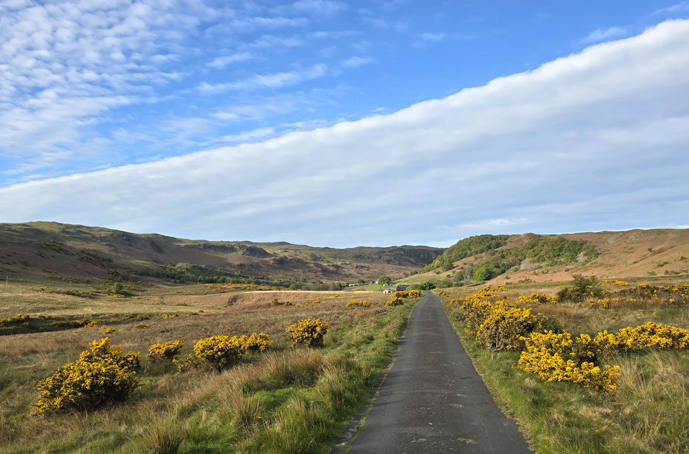
| We left The Concrete Road at Rosgill Moor and forked right along the long, narrow lane towards the Swindale valley. The building in the distance on the left is the Old Filter House close to Swindale Foot, which once managed the water catchment from the Swindale valley but has very recently been converted into a luxury cottage, complete with new stone walling and enclosed pasture. |
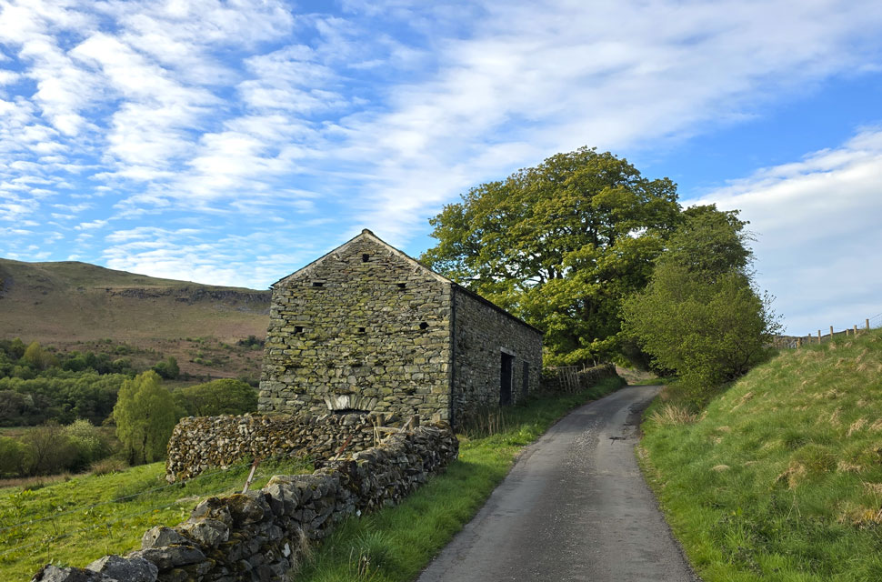 |
| Old stone barn, Swindale Foot. |
| We had just passed a handwritten sign advising climbers to avoid Truss Buttress and Castration Crag due to peregrines nesting nearby. The Swindale valley is part of the Wild Haweswater scheme - a landscape restoration partnershiped between the RSPB and landowner United Utilities. |
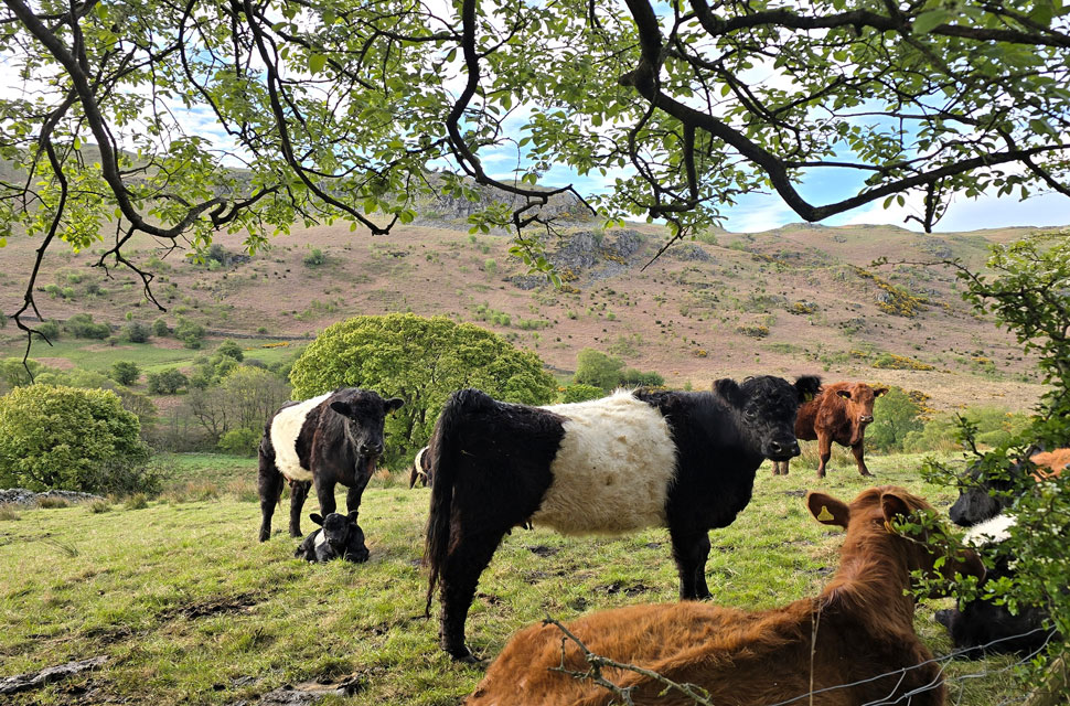 |
| Belted Galway calf, Swindale Foot. |
| |
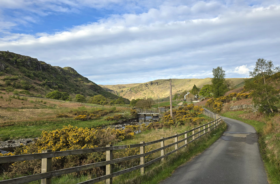 |
| Nabs Crag and Swindale Head comes into view from Swindale Lane. |
| Seen as we pass the Dam/Wier at Truss Gap. |
 |
| What a view, Swindale Head. |
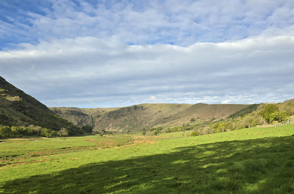
| We stopped to take in the view as we passed a farm gate, from where we had an uninterrupted view towards Swindale Head. That's Hobgrumble Gill dividing Geordie Greathead Crag on the left from Nabs Crags on the right. |
 |
| End of the road, Swindale Head Farm. |
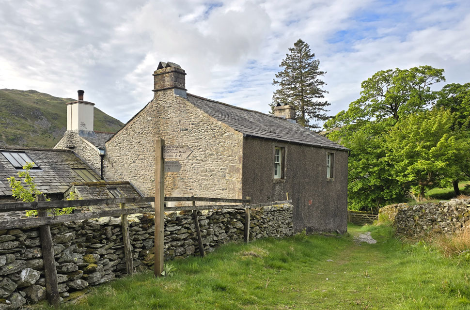
| We left the tarmac of Swindale Lane behind at Swindale Head Farm and passed the signpost for the Old Corpse Road to Mardale. |
 |
| Simon Stone, Swindale Head. |
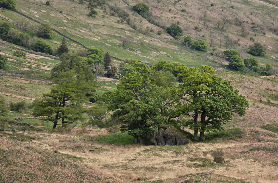
| A huge split boulder left behind within the moraine field during the last glacial activity in what we now know as the Swindale valley |
 |
| Heading into the Mosedale Valley with views towards Ash Knott on Howes and Burnt Tongue. |
We passed through Swindale Head, flanked by Dodd Bottom, where we stopped to take in views of Hobgrumble Gill and entertained the idea of an ascent there one day. Ahead lay our first climb of the day, rising out of the Swindale valley over boggy ground underfoot - a sure taster of what might lie ahead.
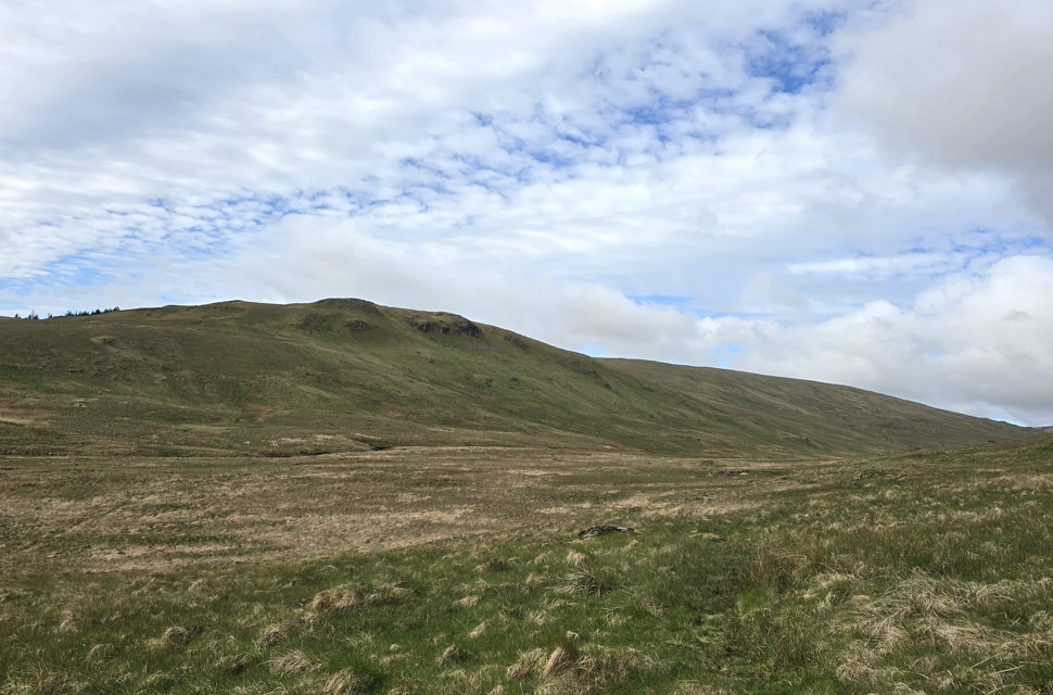
By the time we'd climbed out of Mosedale it had started to cloud over, leaving the valley looking dark and moody. Still, we stopped to take in the views of High Wether How and Scam Matthew to the east - two summits that David had visited recently as part of his Far Eastern Fells project. |
 |
| Burnt Tongue, Mosedale. |
| We got our heads down and forgot about the low light, recalling the time Rod found a Stanley tape measure on the deck of the footbridge over Mosedale Beck a good six hundred yards to the south. I can only assume it was left behind by a farmer or a walker who… well, I've no idea what you'd be doing with a tape measure out here. |
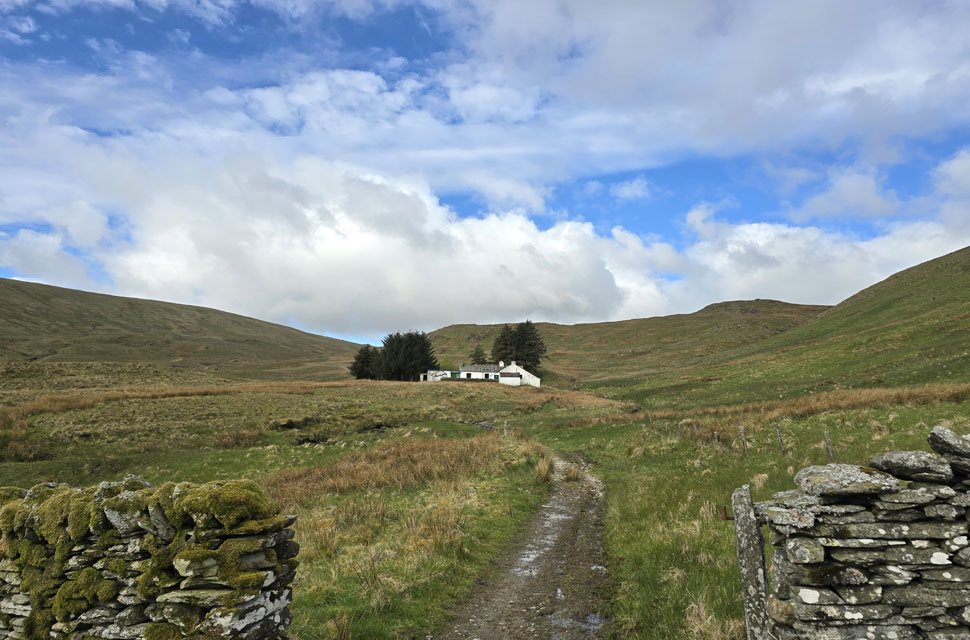 |
| Mosedale Cottage comes into view. |
| Mosedale Cottage soon came into view, as did a solo walker well ahead of us who we at first assumed had stayed the night at the bothy. But after spotting wet boot prints on dry rock well before the cottage we came to the conclusion he'd simply set off ahead of us, squashing our theory that we might be the first to walk through the valley this morning. |
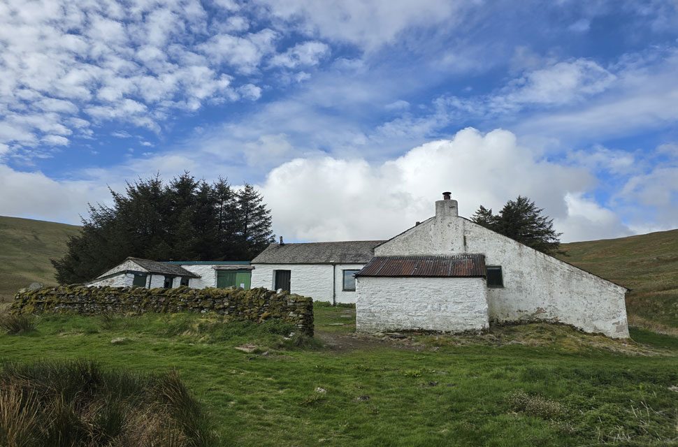 |
| Mosedale Cottage (Bothy) |
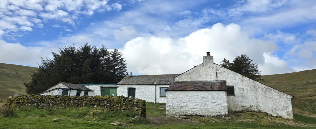
| There were no signs of life at the cottage, and sadly we didn't have time for a mooch around opting to press on with the walk instead. |
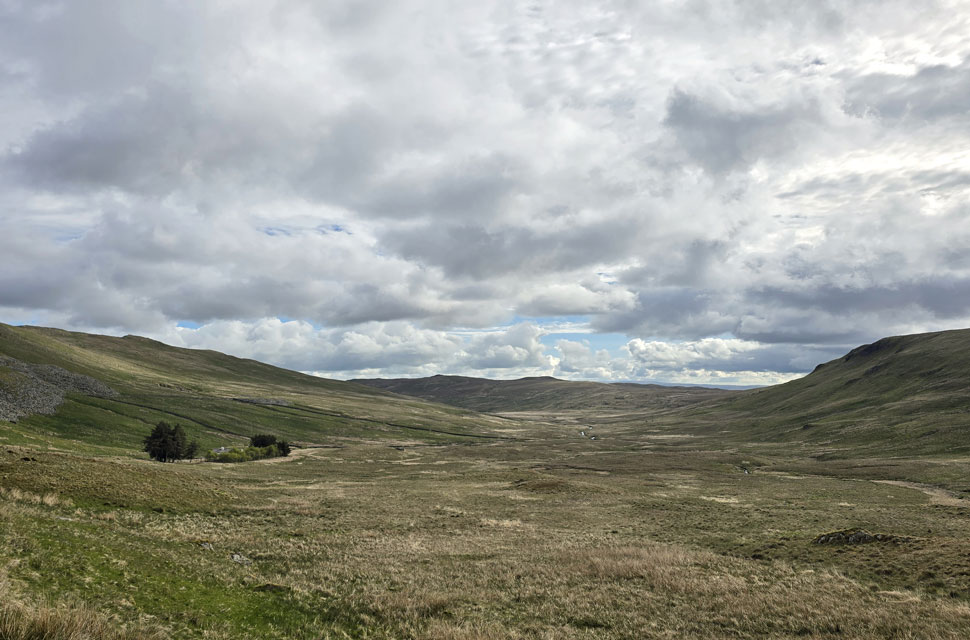 |
| Looking back through the Mosedale Valley. |
| Towards Mosedale Cottage on the left, High Wether Howe and Scam Mathew centre with Burnt Tongue on the right. |
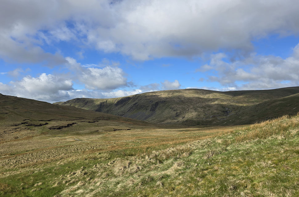 |
| Views towards Kentmere Pike, Goat Scar and a distant Shipman Knotts. |
| Aside from the solo walker we'd seen earlier, we also spotted two walkers descending Tarn Crag over on the left. By this time the cloud had cleared and the sun had come out, just in time for the first proper pull of the morning onto Branstree via Selside Brow. |
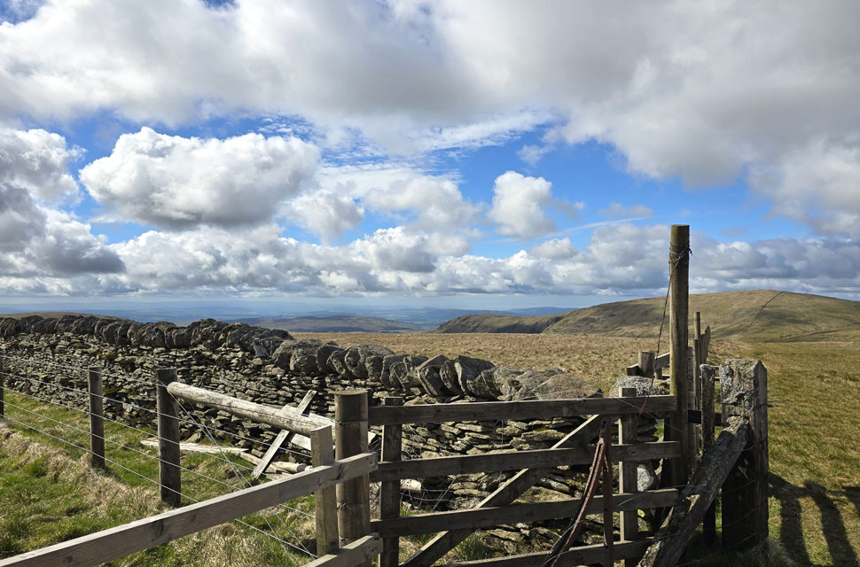 |
| Goat Scar and Kentmere Pike from Branstree summit. |
The fence on Selside Brow came into view, along with the solo walker we'd spotted earlier, who appeared to be an old boy taking his time on the steep incline. We left the path just short of the familiar metal gate and began ascending pathless over hummocky grass which had seemed a good idea two minutes earlier but was tough-going underfoot. We soon joined the fence line and watched the old boy disappear from view.
We got stuck into the ascent, one foot in front of the other, with David breaking the silence as the summit came into view joking "Is this Tarn Crag!" We were the furthest from the cars at this point and had only just reached our first summit of the morning after our legs had grown used to the gentle valley gradients, Branstree certainly woke the calf muscles. |
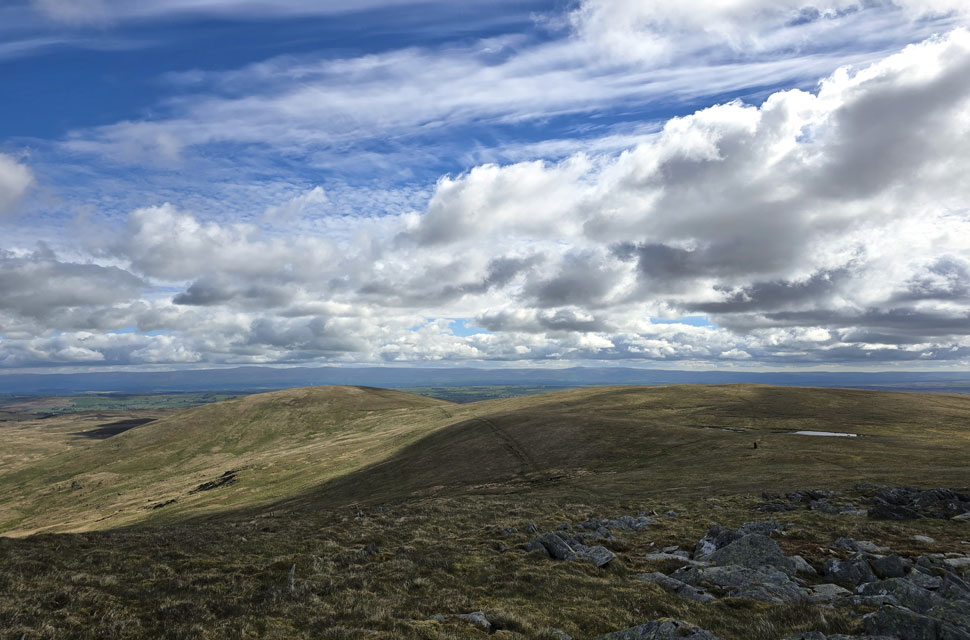 |
| Selside Pike and High Howes from Artle Crag. |
| I asked David would he mind we include High Howes seen over on the right as an alternative to using the path seen centre. |
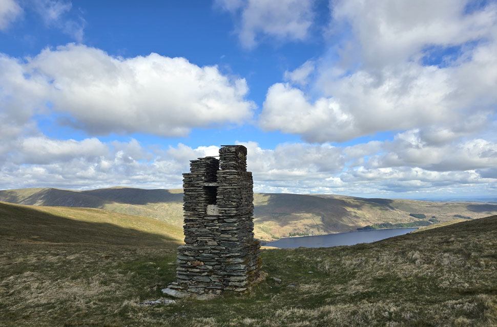 |
| Haweswater from one of the Haweswater Rservoir Survey Pillars. |
| |
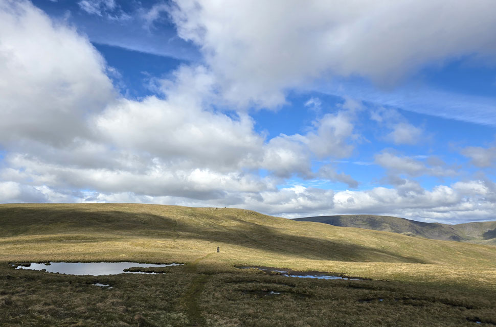 |
| Looking beyond the two nameless tarns towards... |
| ...Artle Crag and Branstree with High Street coming into view over on the right. |
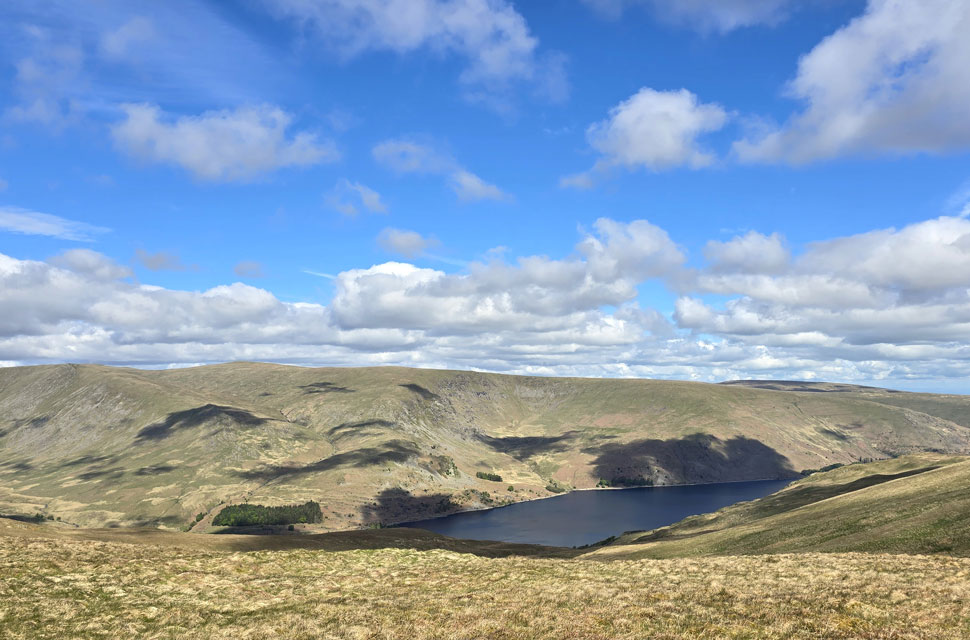 |
| Taking in the views of Haweswater below. |
| With Kidsty Howes, High Raise (Martindale) Low Raise, Whelter Bottom, Long Grain and Measand End seen beyond. |
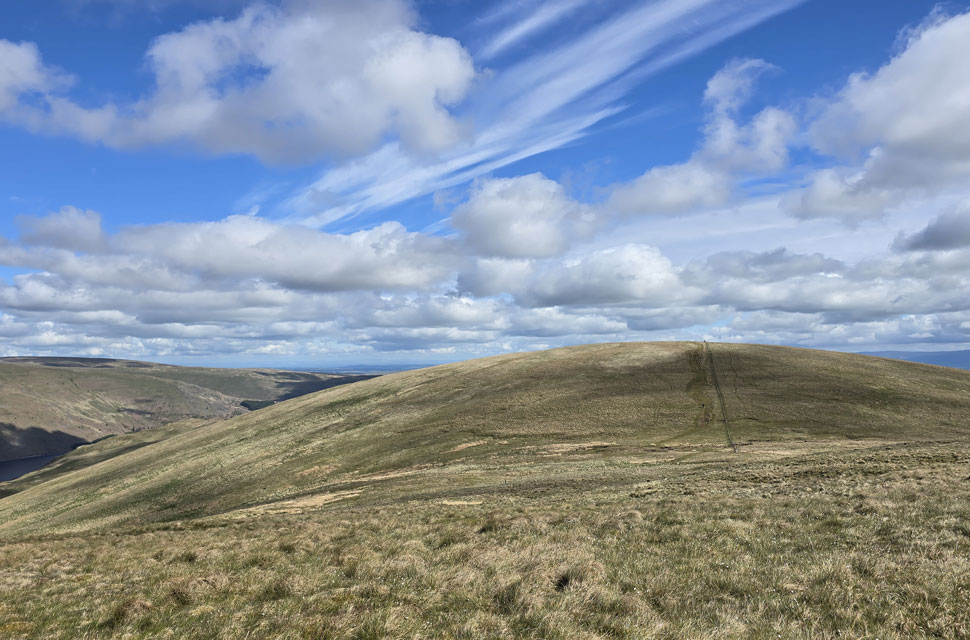 |
| Selside Pike ahead. |
| By the time we left the summit behind and began the gentle descent towards Artle Crag the breeze had picked up again, cutting through the warmth we'd been enjoying only minutes earlier. It was one of those mornings where the weather couldn't quite make its mind up - sunshine one moment, a nip in the air the next. |
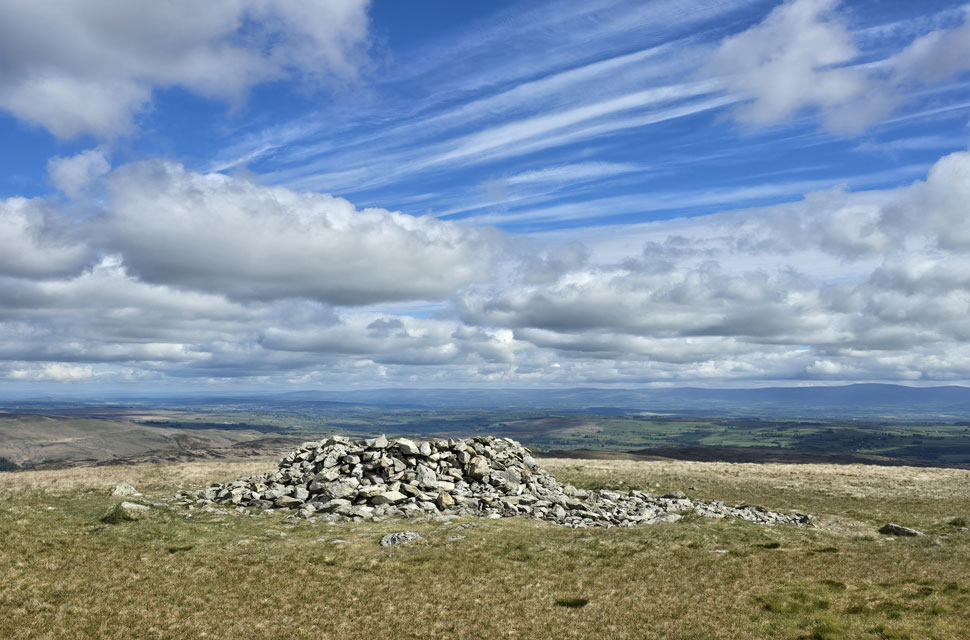 |
| Selside Pike summit shelter. |
We descended High Howes and, to avoid the notorious Captain Whelter Bog we ascended Selside Pike to the right of the fence, managing to keep our boots from taking a soaking. By now we could see traffic on the fells - a trio behind us descending Artle Crag, and the solo walker we'd first seen back on Branstree but we still hadn't actually passed anyone.
Even though it wasn't quite lunchtime, we'd been on our feet for five hours and decided to take on some fuel at Selside Pike summit shelter, each choosing our throne. I tucked into half my lunch, as did David and Rod, and for the best part of thirty seconds before packing up I closed my eyes, felt the warmth on my face whilst listened to two lapwings squabble overhead. |
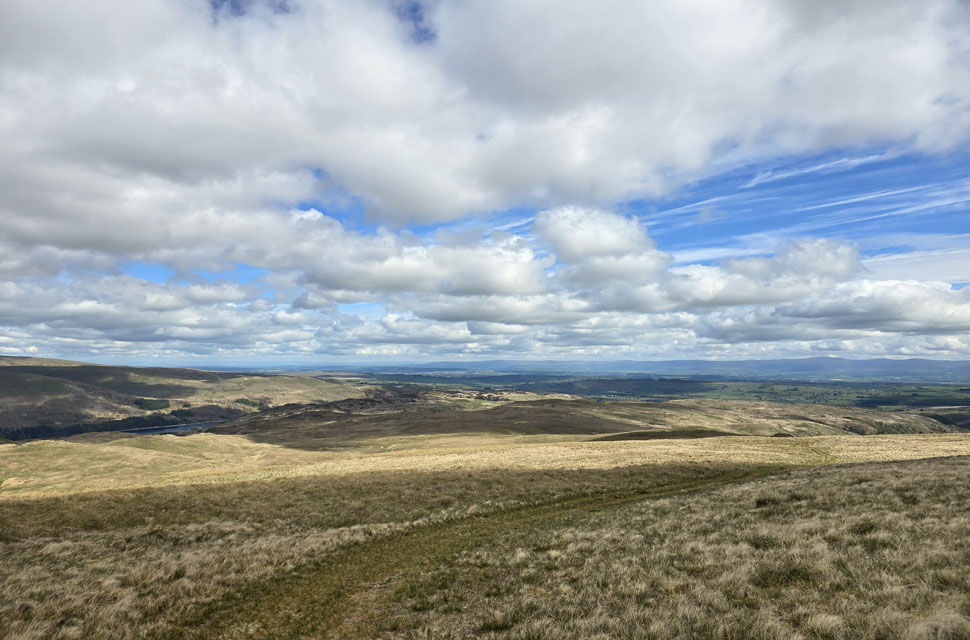 |
| Descending Selside Pike for Hare Shaw. |
| We'd spoken too soon. After shouldering our packs and beginning the descent and soon passed a trio heading towards the summit still, that's just three people in five-and-a-bit hours. Sometimes I think the fells are getting far too overcrowded, and then there are days like this which remind me of how Alfred Wainwright and Harry Griffin would write about the Far Eastern Fells. And I think, yeah, on the right day, these fells still hold onto their isolation. |
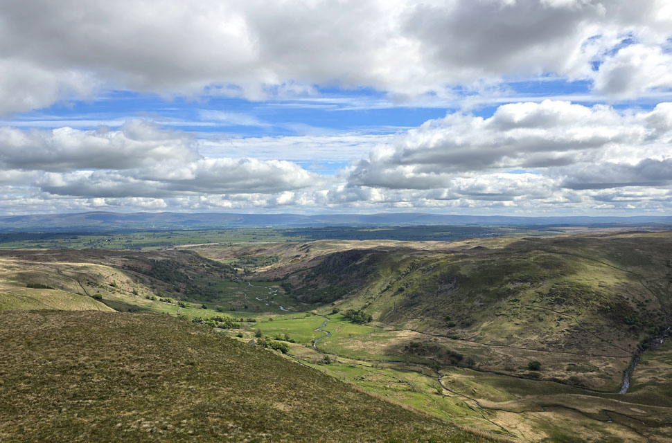 |
| We couldn't pass over Swindale Head ... |
| ... without taking a look into the valley below. |
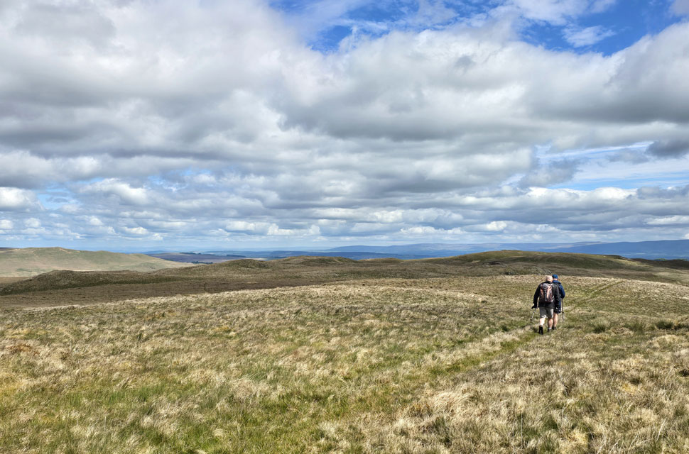 |
| Heading for Hare Shaw. |
| Hare Shaw can be quite difficult to spot using the naked eye as its top blends in with the surrounding moorland but after crossing the Old Corpse Road we veered right and followed a narrow trod passing an outcrop of rock before the summit cairn came into view on the skyline. |
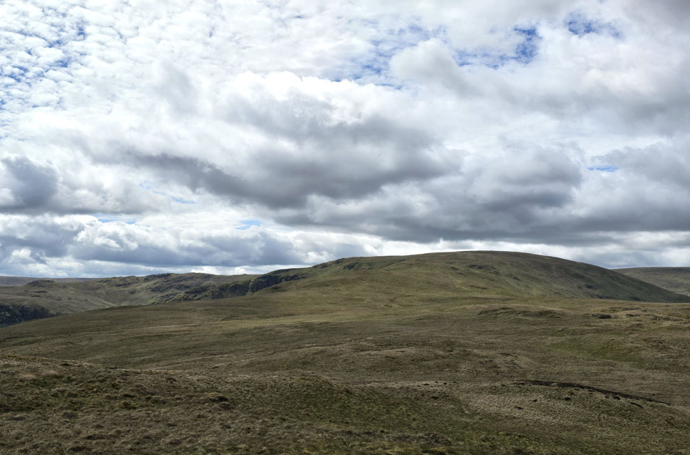 |
| Selside Pike and Swindale Head from Hare Shaw summit. |
| Next, we descend pathless to a point on the map known as Chimney. |
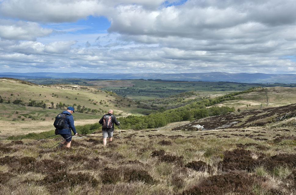 |
| Descending Hare Shaw. |
| We spotted the wall we needed to follow (seen far right) sweeping diagonally below the summit of Hare Shaw and decided to make a pathless descent. The Chimney is situated just beyond the next heathery outcrop, on the edge of the treeline far right. |
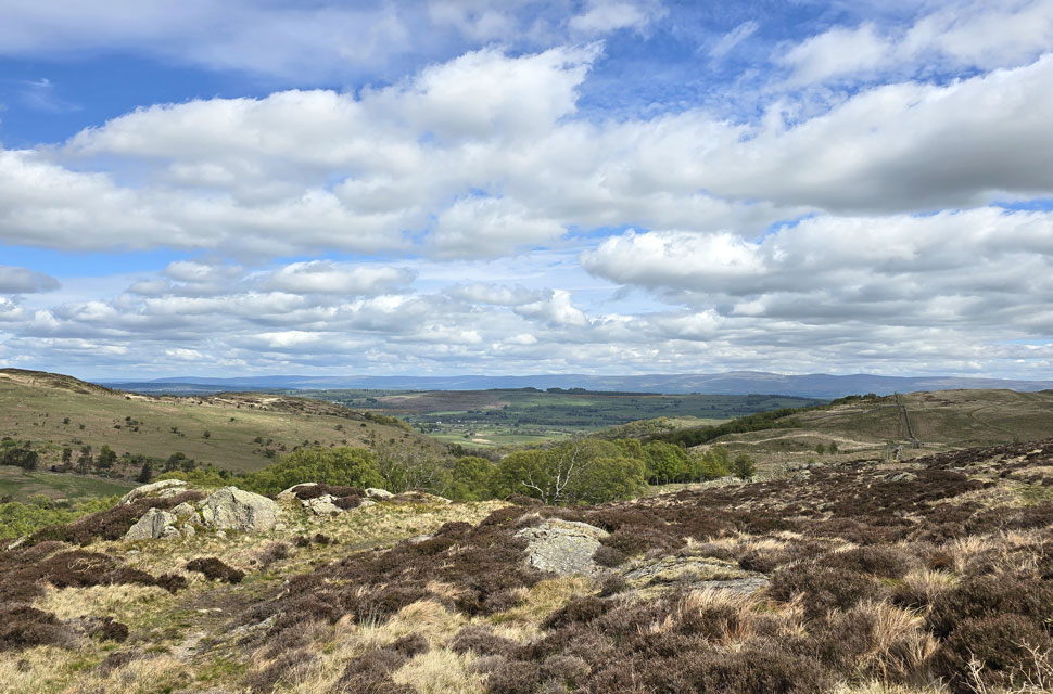 |
| Harper Hills comes into view. |
| Before we join the track in line with the stone wall. |
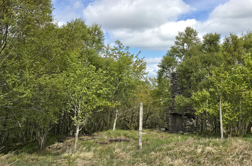 |
| The Chimney. |
| Which is the last remaining part of what's thought to have been a shepherd's hut or shooting lodge from the 19th century. |
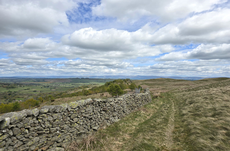 |
| Harper Hill summit cairn appears ahead. |
| |
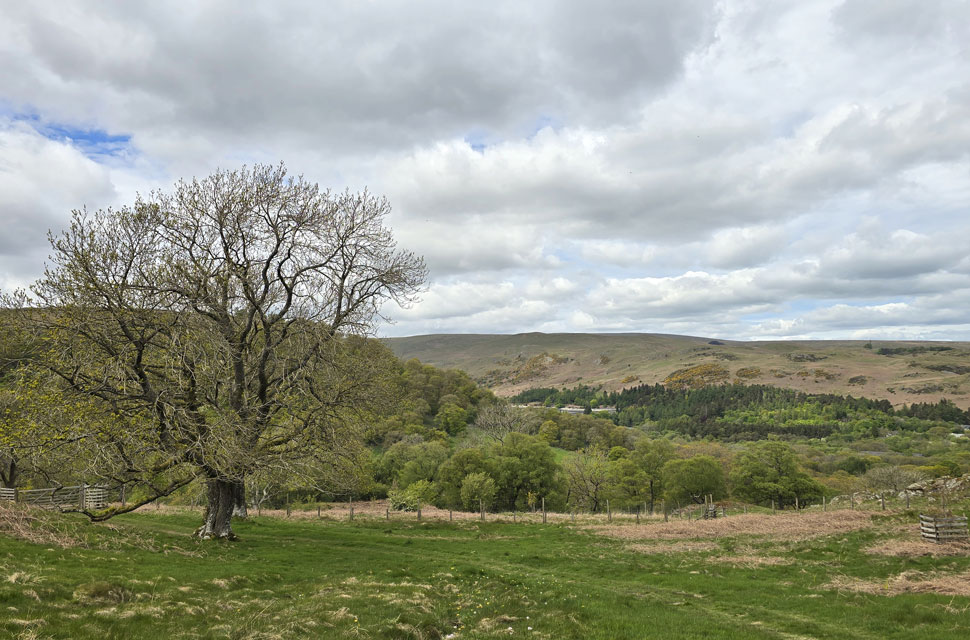 |
| Descending towards Naddle Farm with views of Hweswater Dam, Burn Banks and Four Stones Hill. |
In the warmth of the midday sunshine we followed the track north-east and shouldered Harper Hills, its summit cairn just metres away, though we didn't pay it a visit. We'd been on the go for over six hours by now, and my toes were beginning to pinch inside my right boot no doubt the result of the new pair of work shoes I bought last week which being new, still feel a tad tight. We spotted a herd of Belted Galloway below Wallow Crag, whose summit looked inviting, as did Hugh Laithes Pike further east.
Below us Naddle Farm appeared - our route of descent back to Naddle Bridge but access to the path misleads the walker, and we passed the farm by what felt like a country mile before finally sighting the gate where our descent began proper. It had clouded over, but it was still warm. David and Rod had removed their softshells back at the Chimney, but I stuck with mine until the overheating became too much and I caved in shortly before shouldering Harper Hills.
The track was smooth and grassy before steadily descending towards Naddle Farm through ancient woodland, where we passed a couple sat on a blanket drinking tea from china cups. Their view was a beautiful oak in vibrant green plumage, and David couldn't pass without commenting on how lovely a spot they had; the couple agreed and smiled back kindly. After passing through a gate we crossed an almost-dry Naddle Beck which, further upstream, would once have flowed over what looked like an old concrete weir something Rod went to investigate.
We passed through a second gate which led through what was once the farmyard but is now the brand-new RSPB Wild Haweswater Headquaters and Laboratory, complete with sheep sheds converted into nurseries. It all looked a little spanking new, but I hoped it would weather nicely and settle into the surrounding countryside. We left the farmyard behind and joined a newly laid concrete lane, at the end of which our cars had been left over six hours earlier. We each opened our doors and began our kit-down, easing boots off with groans. I gave my feet a massage through my sweaty socks - which I know sounds disgusting, but trust me, it felt like heaven. I think Rod summed the walk up perfectly when David asked him what he thought. "It felt special" he replied. |
|
| |
| Back to top |
 |
|