|
Bowscale Fell, Mungrisdale Common & Bannerdale Crags East Ridge from Mungrisdale |
 |
 |
30th May 2026 |
 |
|
|
| |
|
Overview |
|
|
| Ascent: |
2,090 Feet - 637 Metres |
| Wainwrights: |
3, Bowscale Fell - Mungrisdale Common - Bannerdale Crags |
| Visiting: |
Bannerdale Crags East Ridge |
| Weather: |
Warm, Dry & Sunny. Highs of 26°C Lows of 12°C |
| Parking: |
Mungrisdale Village |
| Area: |
Northern |
| Miles: |
8.3 |
| Walking With: |
On My Own |
| Ordnance Survey: |
OL4 |
| Time Taken: |
4 Hours 10 Minutes |
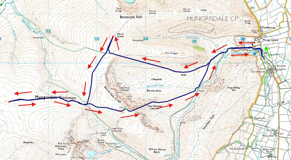
| Route: |
Mungrisdale - Bannerdale - Bowscale Fell - Glenderamackin Col - Mungrisdale Common - Glenderamackin Col - Bannerdale Crags - Bannerdale Crags East Ridge - River Glenderamackin - Mungrisdale |
|
| |
|
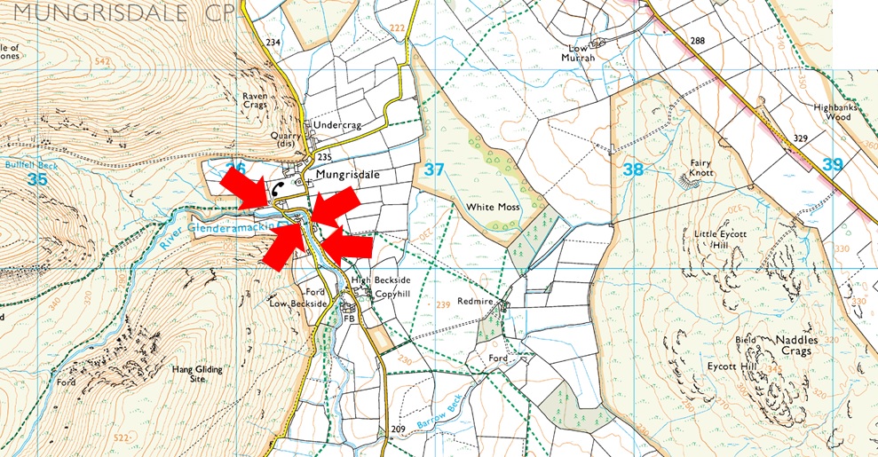
Parking Details and Map |
|
|
| Nearest Post Code: |
CA11 0XR |
| Grid Reference: |
NY 364 730 |
|
| |
|
Map and Photo Gallery |
|
|
 |
| |
| |
 |
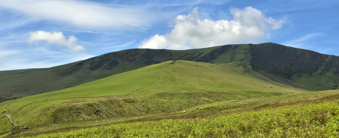
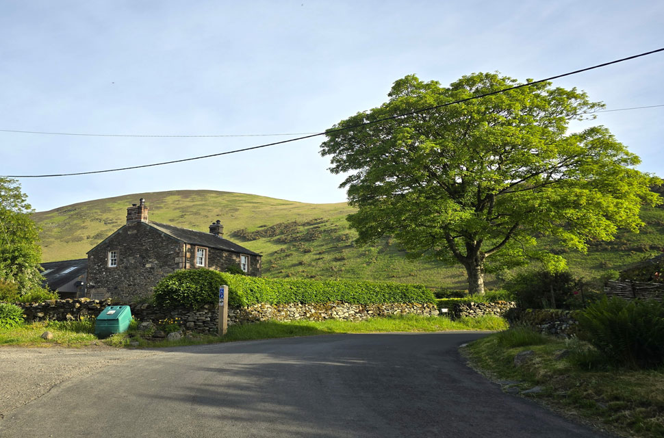
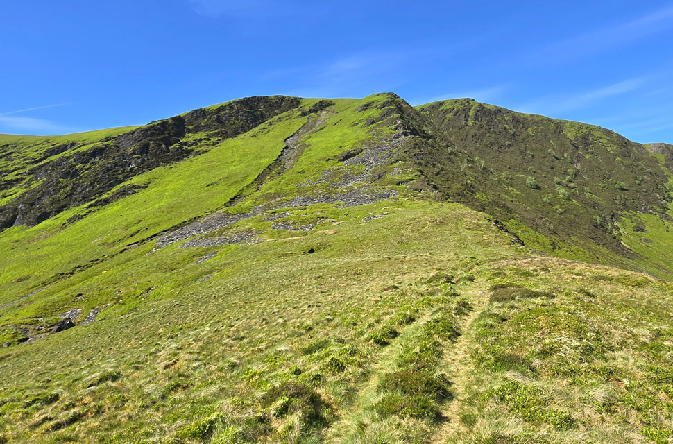
| Bowscale Fell East Ridge from Mungrisdale village 7:10am 12°C |
Despite a poor forecast for the fells south of Dunmail Raise, I'd set my sights on Pike O' Blisco and Cold Pike from Wrynose Pass. I was so fixed on the idea that I even left the M6 at Kendal half hoping the forecasters had got it wrong but they hadn't. As I drove towards Ambleside I could barely make out Loughrigg Fell through the low cloud, but I turned left at Waterhead anyway, pulled over, and weighed up my options. It wasn't looking good. I re-joined the A591 and headed for Grasmere, where the cloud base sat slightly higher than Helm Crag, but not by much. Looking north over Dunmail Raise, however, the cloud thinned and I could've sworn I saw chinks of blue between the gaps. Continuing north, the contrast between the south of Dunmail and the north was like night and day. By the time I was driving through St John's-in-the-Vale the cloud had cleared revealing blue skies and high level cloud.
Another wowzer moment just like the one at the beginning of May, and for the second time in a month I couldn't quite believe it. The trouble was, I had no idea where to walk. I've got leave booked this week and I was saving Blencathra for another day, so I turned right onto the A66 and headed for Mungrisdale, route still unconfirmed and likely to be made up as I went along. I was only the second vehicle to arrive at the parking spaces the first was a motorhome, its owner and Spaniel pup eating breakfast at a nearby bench. We exchanged a morning nod across the gravel. No rain was forecast, in fact, it was incredibly mild which meant I'd be setting off in shorts and a T-shirt. That didn't mean I was travelling light, though. What my pack lacked in gear it made up for in hydration, and as always it landed against my back with a thud once shouldered. I passed the campervan and strode out through the village, losing the warmth of the morning as I walked below the woodland alongside the River Glenderamackin where the road began to rise towards the old schoolhouse. |
 |
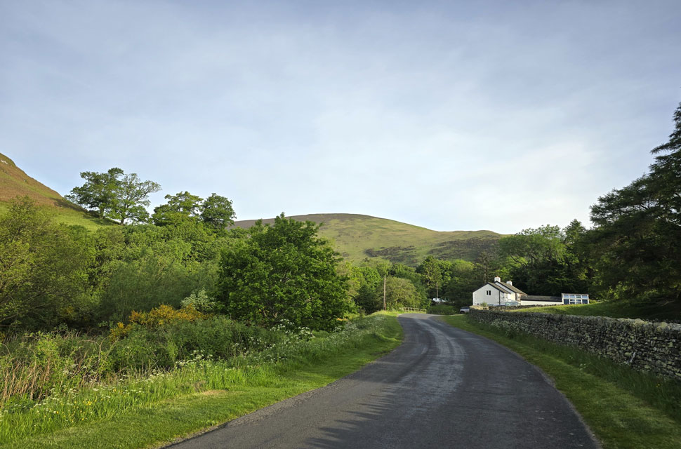
| The Old School House, Mungrisdale. |
| With Bowscale Fell east ridge beyond. |
 |
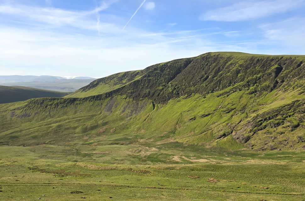
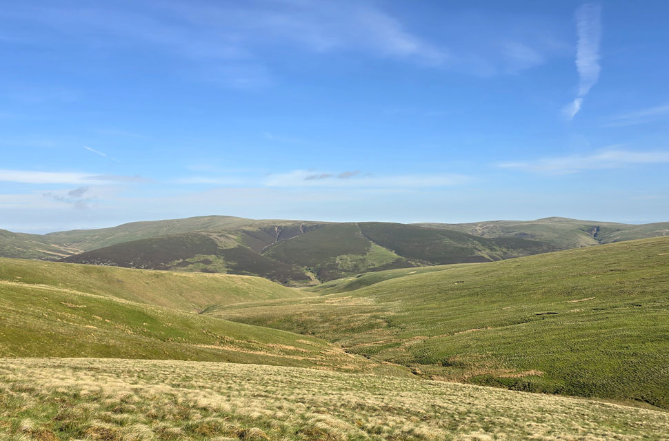
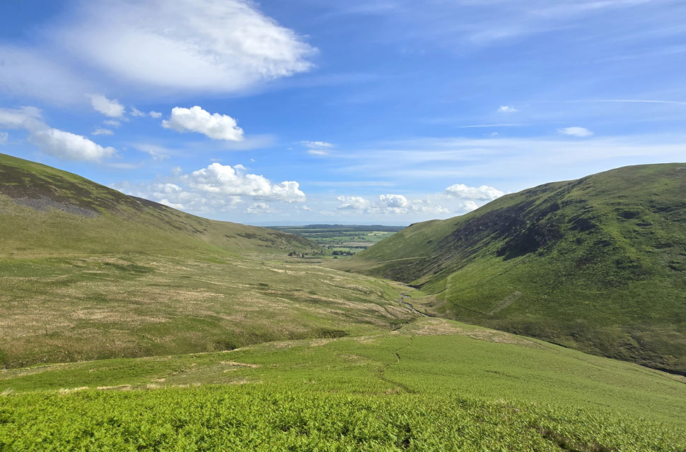
| Bannerdale Crags East Ridge, The Tongue and Bannerdale. |
| By now I'd settled on a rough plan: I'd take the horizontal path that skirts the south flank of The Tongue seen in the centre of the photo. If you've ever walked it, you'll know exactly what I mean when I say what a joy it is. A beautifully graded traverse that ascends you towards Bowscale Fell with gradual effort. |
 |
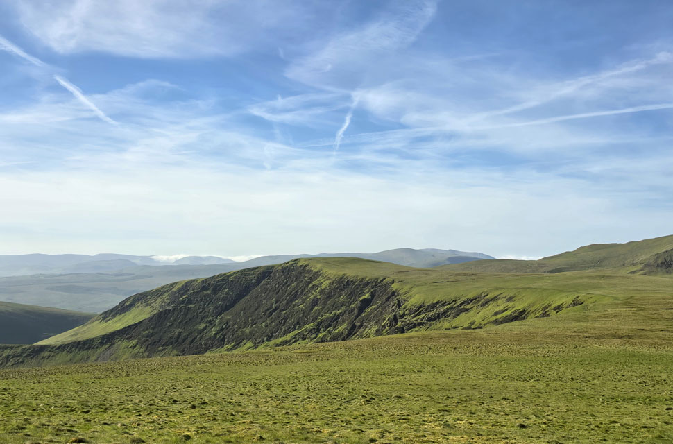
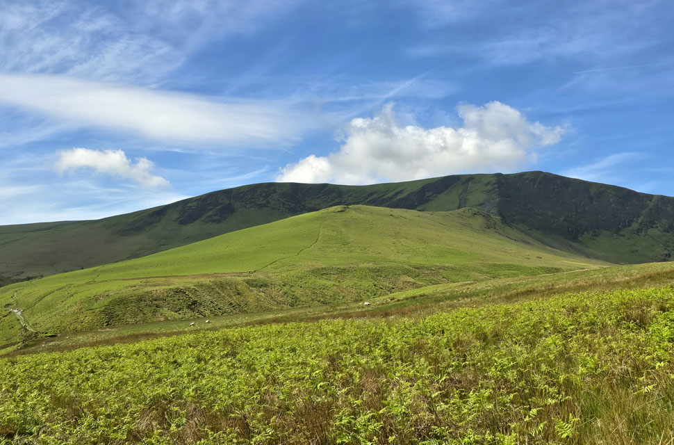
| Bannerdale Crags East Ridge and Bannerdale Crags. |
| I didn't know it yet but I'll be heading down there later. |
 |
| Two hot air ballons over Northern Lakeland. |
| Two of the sixty hot air balloons that took off from Troutbeck as part of the Troutbeck Hot Air Balloon Festival, raising money for mental health charities. |
 |
| Did I mention what a treat this path was... |
| Flanked on both sides by new bracken which I suspect, within weeks would reach waist height. |
 |
| Bannerdale Crags East Ridge and Bannerdale Crags. |
| Seen across the Bannerdale valley. |
 |
| Looking back on Bannerdale Crags. |
| The path rose towards the head of the Bannerdale Valley where I turned right over grassy ground towards my first summit of the morning, Bowscale Fell. |
 |
| Blencathra from Bowscale Fell summit shelter. |
| On paper, today's forecast looked like a washout. Further south it was still incredibly cloudy but every now and then trusting an instinct pays off, and today was one of those days. |
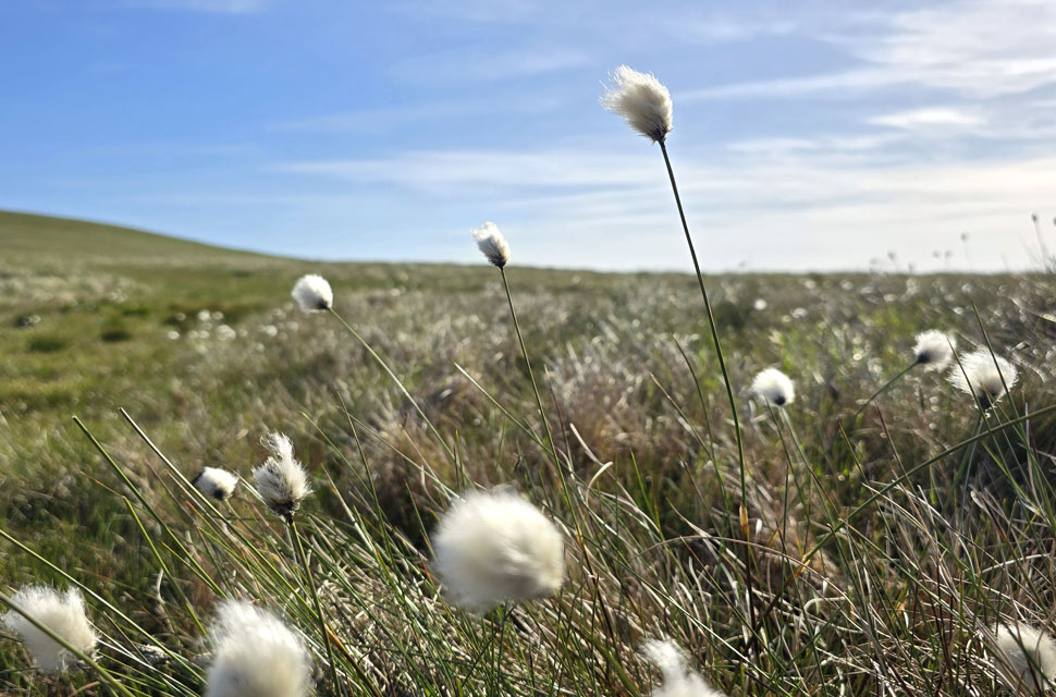 |
| Cotton grass. |
I was met with a cool breeze back on Bowscale Fell, the kind that makes the hairs on your arms stand on end, but it was confined to the summits and by the time I'd descended, the warmth of the morning had returned. I'd already made my mind up to head for Mungrisdale Common next, which meant crossing ground that's usually boggy at the best of times but today it had dried hard with much of the expanse blooming with acres of cotton grass. |
 |
| Views towards Great Calva, Pike and Knott. |
| |
 |
| Blencathra and Sharp Edge come into view. |
| As I cross Glendermackin col after which I head right towards Mungrisdale Common. |
 |
| Knott, Pike, Coomb Height and High Pike (Caldbeck) from the top of Blackhazel Beck. |
| |
 |
| The Skiddaw Massif and Bakestall. |
| This whole area is notorious for how boggy it can be. A few small sections were still soft underfoot, but on the whole it was bone dry a lovely bonus, and not something you can take for granted up here normally. |
 |
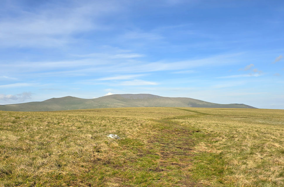
| Skiddaw and Bakestall and from Mungrisdale Common summit. |
| I'm always surprised by how close the summit of Mungrisdale Common looks compared with how long it actually takes to reach it. As I mentioned earlier, the approach is usually marked by boggy ground, but even in good conditions it's still a solid half-hour's walk from Glenderamackin Col, and much the same again from the base of Blue Screes on Blencathra. One of many areas in the Northern fells which doesn't attract huge numbers. |
 |
| Sharp Edge on Blencathra. |
| I returned to Glenderamackin Col passing a young family and their dog, the first people I'd seen on the hill all morning not excluding two walkers traversing Sharp Edge in the distance. |
 |
| Looking back. |
| Shortly followed by two girls who had just summited Bannerdale Crags and were making thier way towards Glenderamackin Col. |
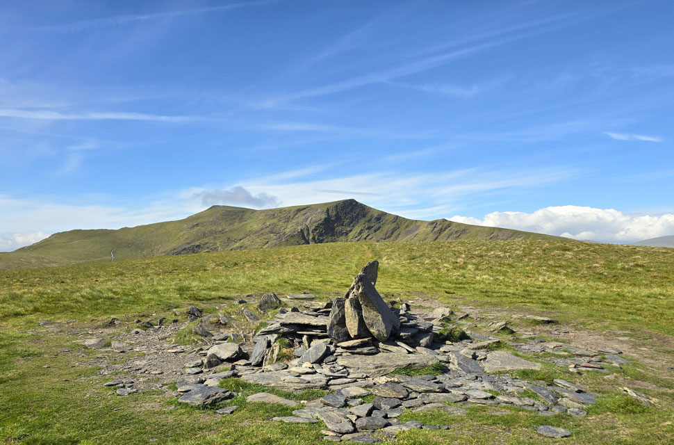 |
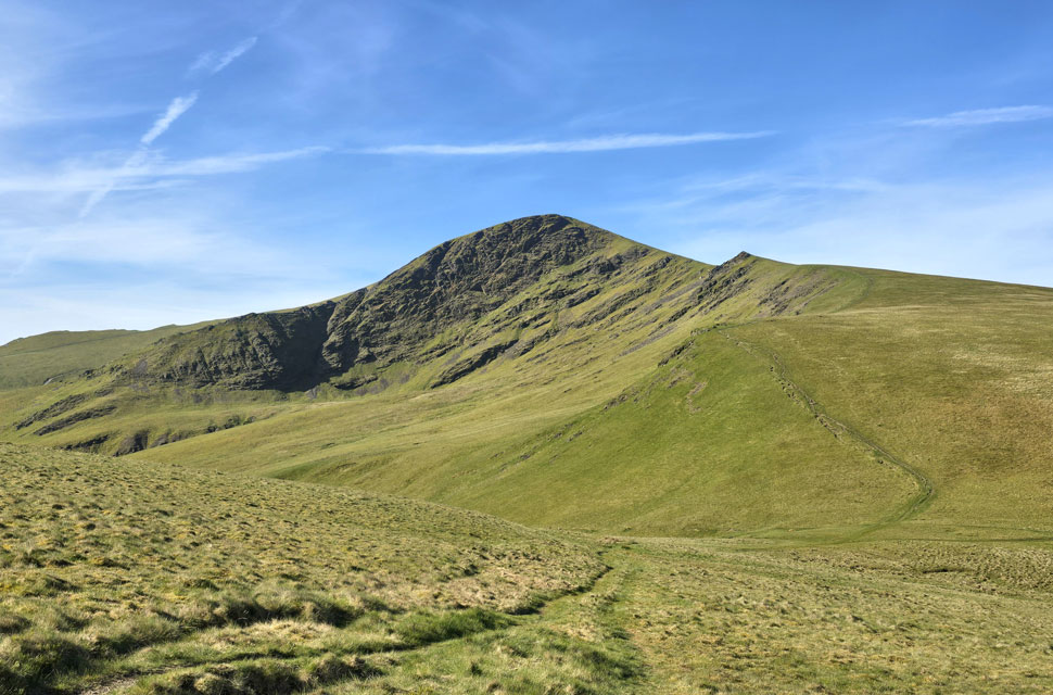
| Blencathra from Bannerdale Crags East Ridge cairn. |
| The main summit of Bannerdale Crags being a short walk west to a less substantial cairn. |
 |
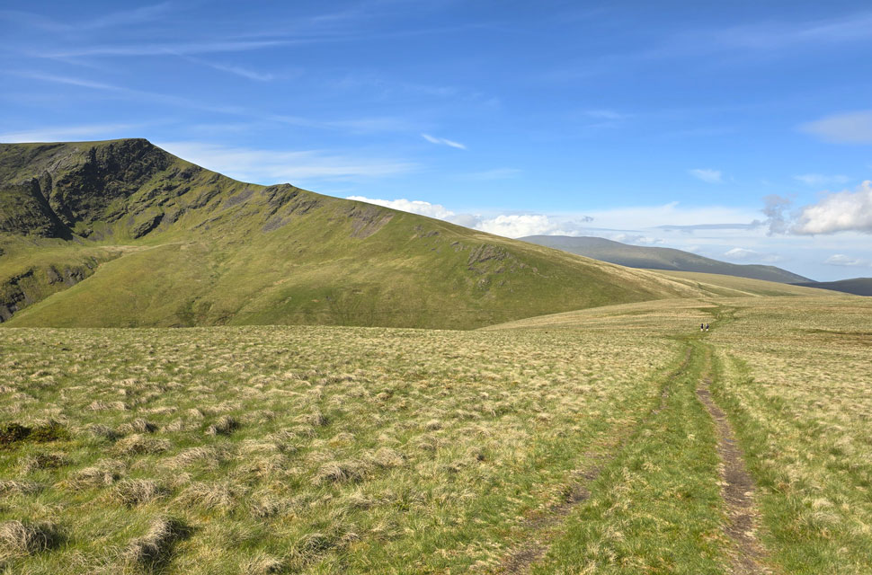
| Beginning the descent of Bannerdale Crags East Ridge. |
| With views of Bannerdale, The Tongue and Souther Fell. |
 |
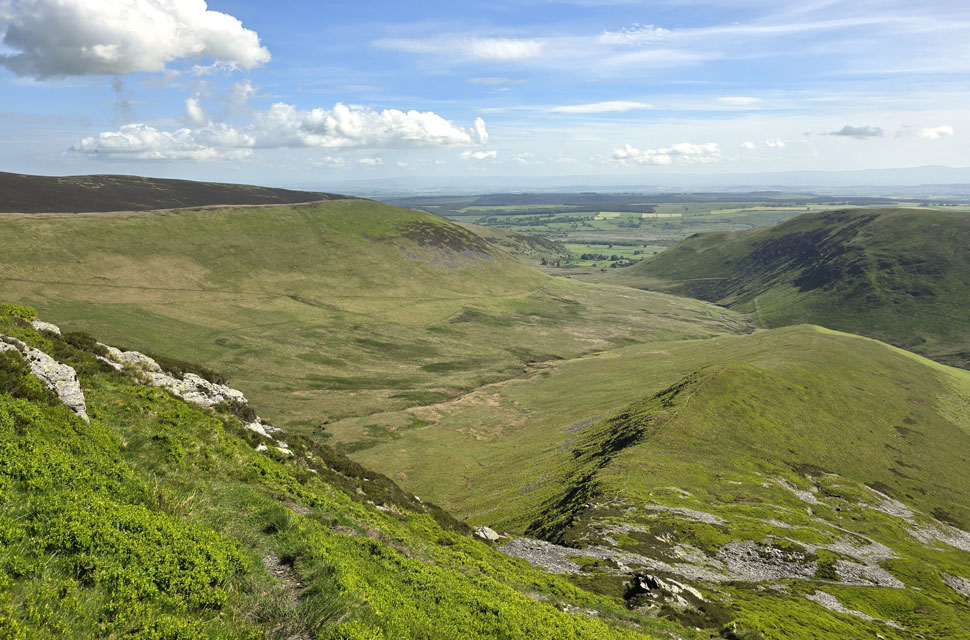
| The head of the Bannerdale Valley. |
| With Bowscale Fell seen right. |
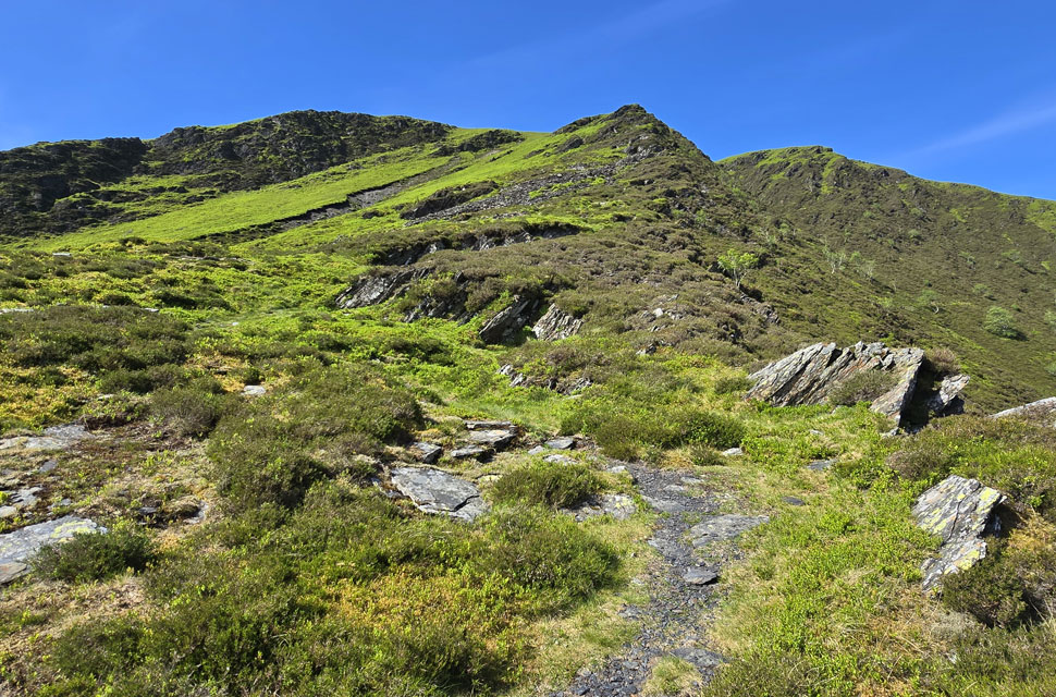 |
| Looking back on the East ridge. |
| Today was the first time I've descended the east ridge by following the narrow path that weaves its way down with just the odd rock step thrown in. A straightforward, satisfying traverse in both directions. |
 |
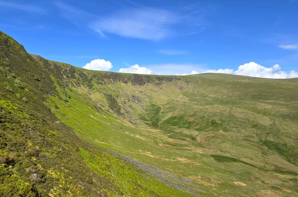
| The wider view of Bannerdale Crags East Ridge. |
| |
 |
| Continuing to descend the East Ridge. |
| With views of The Tongue on the left and Souther Fell on the right. |
 |
| Looking back on Bannerdale Crags East Ridge. |
| |
 |
| Back in Mungrisdale. |
With the traverse of the east ridge behind me, I continued my descent, flanked by vibrant bracken, until I reached the base of the slope at the River Glenderamackin. I crossed by the ford rather than the footbridge just a few yards away which was comically occupied by four sheep, all of whom watched me with suspicion as I stepped across. The path to the right which flanks the Glenderamackin has been closed for some time due to structural damage, of the river bank though access is still allowed for the first 500 yards. Eventually I reached a makeshift gate with a sign nailed to it instructing walkers not to continue and instead take the detour over a wide bank of marshland. The ground was semi-dried but still holding onto water. I followed three marker posts that led me back onto the very path I'd used to gain Bowscale Fell four hours earlier, descending to another bridge where I crossed the Glenderamackin for the final time. I was surprised to find a woman sitting on the edge of the bridge who looked more like she belonged in a trendy bar than out here in the valley but we exchanged a quick "hi" all the same.
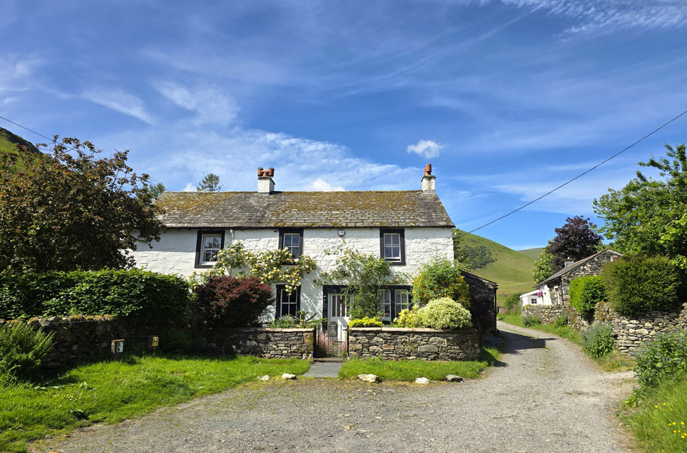
I joined the concrete slabs and took in the views up through Bullfell Beck, flanked by the steep hillside that forms Bowscale Fell's east ridge. Three fell runners were descending a path I never knew existed - a steep line that seemed to cut directly onto the ridge halfway up. I tucked that one away for another day. Half a dozen sheep were blocking the same gate I'd passed through earlier, and I offered a verbal apology as I squeezed past. On the other side of the gate the owner of the cottage in the photo was mowing the back lawn as a patch of yellow poppies caught my eye something I'd completely missed earlier. The sun was blazing now, and I'd made great time on a walk I hadn't even set out to do this morning. With an unsettled week ahead I'll be weather watching over the next few days looking out for gaps in the forecast such as todays. |
|
| |
| Back to top |
 |
|