|
The Greenburn Horseshoe |
 |
 |
2nd June 2026 |
 |
|
|
| |
|
Overview |
|
|
| Ascent: |
2,277 Feet - 694 Metres |
| Wainwrights: |
4, Helm Crag - Gibson Knott - Calf Crag - Steel Fell (Dead Pike) |
| Visiting: |
2, Pike of Carrs - Dead Pike (Steel Fell) |
| Weather: |
Patchy Sunshine To Start Turning Brighter Though The Afternoon. Cool Breeze Across The Summits. Highs of 24°C Lows of 18°C |
| Parking: |
Parking Spaces, A591 Grasmere |
| Area: |
Central |
| Miles: |
8.1 |
| Walking With: |
On My Own |
| Ordnance Survey: |
OL4 - OL5 - OL7 |
| Time Taken: |
4 Hours 15 Minutes |
| Route: |
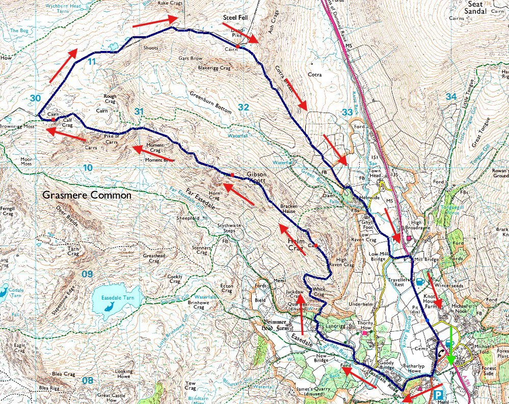
A591 - Grasmere - Easdale Road - Lancrigg - White Crag - Helm Crag - Bracken Hause - Gibson Knott - Pike of Carrs - Calf Crag - Steel Fell Tarn - Steel Fell - Cotra Breast - Ghyll Foot - Underhelm - A591 |
|
| |
|
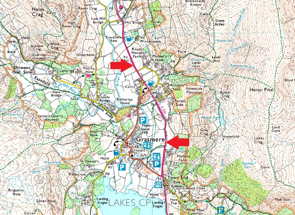
Parking Details and Map |
|
|
| Nearest Post Code: |
LA22 9RF |
| Grid Reference: |
Layby A591 North of Grasmere - A591 Central Grasmere NY 337 408 & NY 341 079 |
|
| |
|
Map and Photo Gallery |
|
|
 |
| |
| |
 |
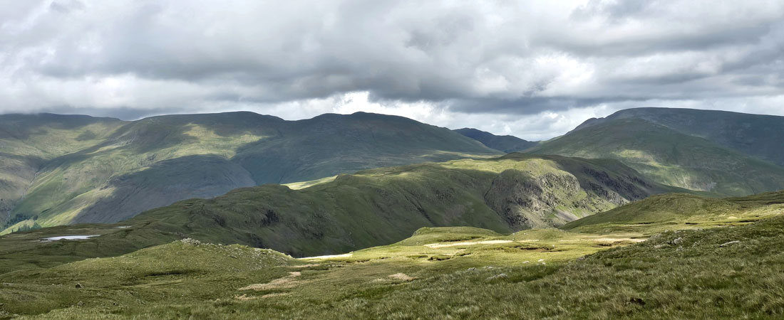
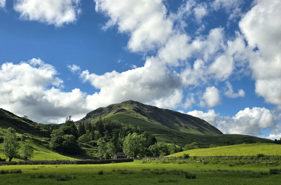
| Helm Crag from the A591 North of Grasmere 13:00pm 18°C |
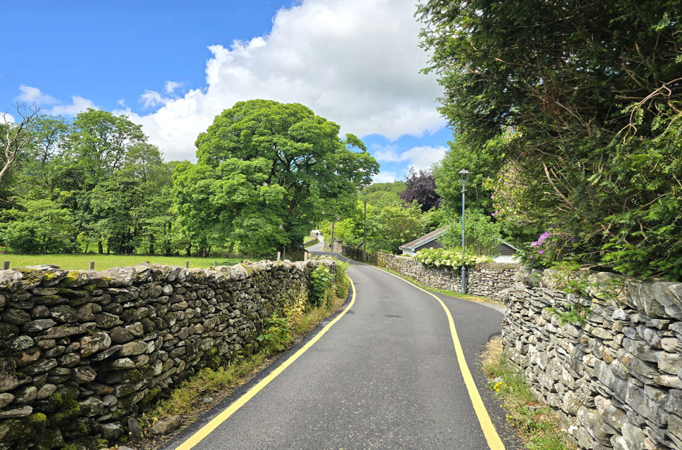
On paper this week's forecast looked dreadful, but reading between the lines there were actually some decent mornings and afternoons to take advantage of today being one of them. I took a chance and drove to Grasmere with no real walk in mind, weighing my options the closer I got. I eventually settled on the Greenburn Horseshoe. I did, have other plans, but both the south and north of the district were much cloudier, and what I didn't expect was so much sunshine when I arrived in Grasmere. Blimey, at this rate I wouldn't even need a waterproof jacket but I packed one anyway, just in case.
The lay-by was half full and I managed to park halfway along, tucking my car between two motorhomes before kitting up at the boot. I left quite a bit of extra layers behind that I knew I wouldn't need and did my best to fold my waterproof jacket into a neat package but as always, I failed, both sleeves flapping about and causing further frustration. In the end I just rolled it into a ball-type thingy and called it a day. You can tell I wouldn't last two minutes working on the counter at Next. I took two long swigs from my water bottle before placing it back in the boot, then headed off towards Butharlyp Howe - an area of woodland on the outskirts of Grasmere and my shortcut to Easedale Road. |
 |
| Easedale Road. |
I left the A591, passing a chap tidying up a patch of grass at the front of his cottage, his spade scraping along the tarmac before he spun around and gave me a "Hi." I nodded one back, then turned onto Pye Lane and Broadgate thereafter passing White Bridge Forge, where I shared a nod with the owner through the entrance to his workshop before heading through a gate into Butharlyp Howe.
The woodland was dense, its canopy hardly penetrable with summer in full swing. During the winter months you can get a good view of Helm Crag over Easedale Beck, but today there was far too much coverage. The path rose around the woodland, where I passed an elderly lady and greeted her with a smile and got one in return before arriving at a second gate opposite the Glenthorne Quaker Guest House. |
 |
| A distant High Raise, Tarn Crag (Easedale) and Little Parrock Guest House from Easedale Road. |
| I continued up Easedale Road passing Goody Bridge where I passed a large group of walkers where more 'Hi's' were shared. |
 |
| Views over Brimmer Head Farm towards Silver How, Lang Howe and Great Castle How. |
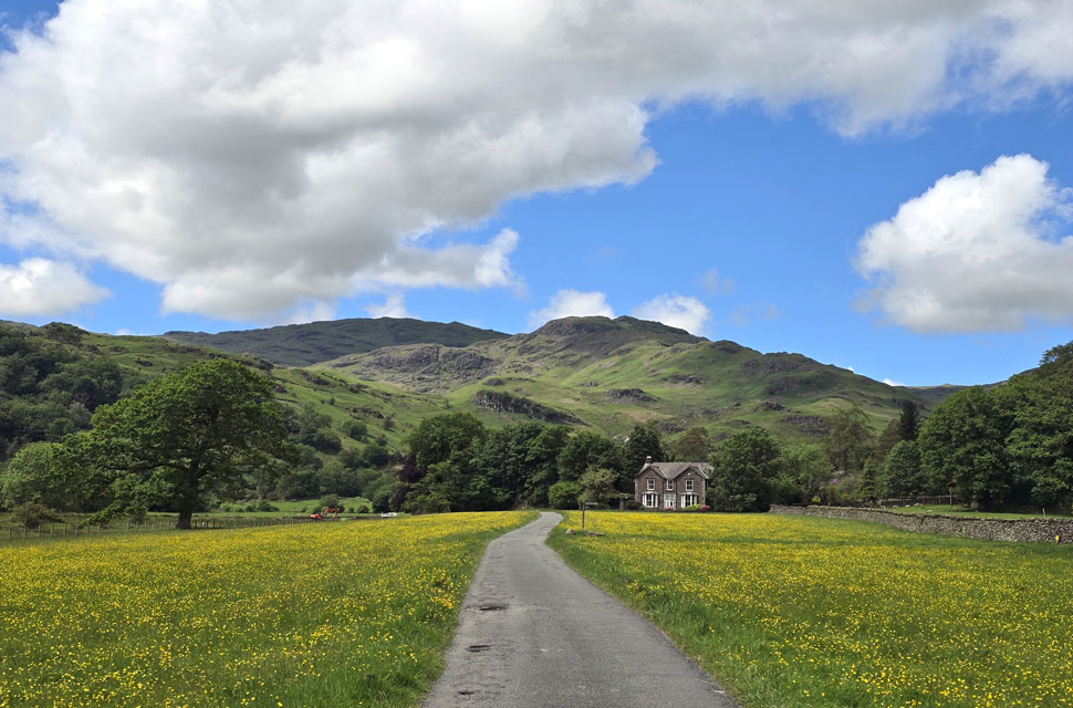
After passing the Guest House I headed up the walled lane, where a gate was opened for me by a group of teenagers who had come from the direction of Far Easedale which was jolly nice of them.
I turned right towards Lancrigg before arriving at a large stone cairn at the foot of the path bound for Helm Crag. Joining the stone staircase, I began to ascend, noticing how humid it was with little to no breeze. The first real slope of the day sure got the lungs working. |
 |
| Blea Rigg, Sourmilk Gill and Tarn Crag (Easedale) |
| With the Far Easedale Valley appeaing over on the right. |
 |
| Far Easedale. |
| With Tarn Crag seen on the left, Pike of Carrs and Calf Crag on the right, I'll be over there soon. |
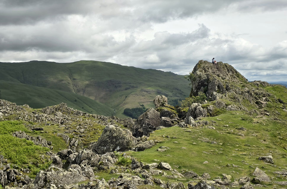 |
| The Lion and The Lamb, Helm Crag. |
I made the summit of Helm Crag on the hour mark after passing couples and groups of walkers who all seemed to share the same demographic - they looked retired, and good on them for enjoying what they'd so rightly earned. Closer to the summit I passed a lady, and we both commented on how the weather had turned out better than forecast. We looked south towards the Coniston Fells, their summits well below the cloud line. Chose the right area to walk today too I smiled. |
 |
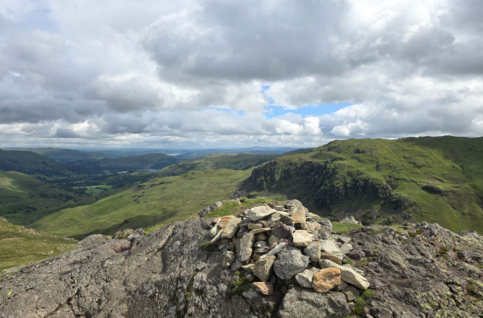
| Dunmail Raise from The Howitzer on Helm Crag. |
| A little further on I passed the true summit of Helm Crag 'The Howitzer' which the two people you see to the left had just descended from. I, however, have never been up to the very top, but a walking pole held from a stretched arm counts just the same… or does it! |
 |
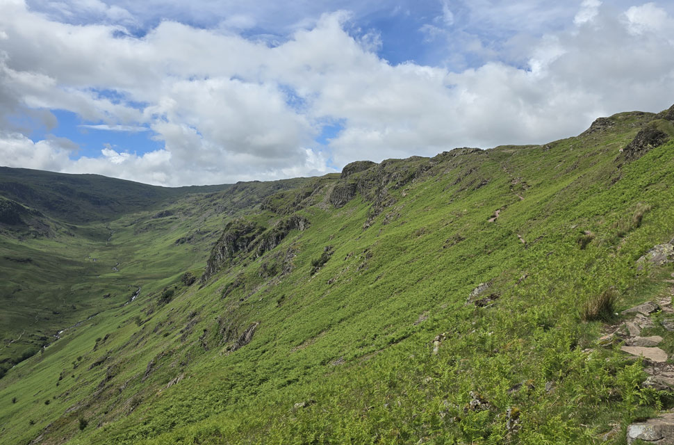
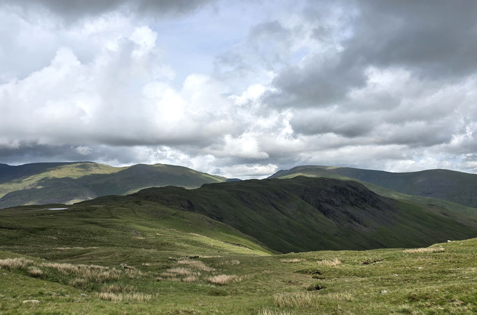
| Looking over Bracken Hause towards Gibson Knott. |
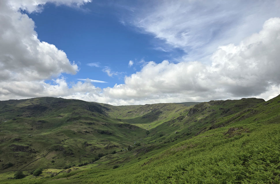
| With Far Easedale seen left and Greenburn on the right. |
 |
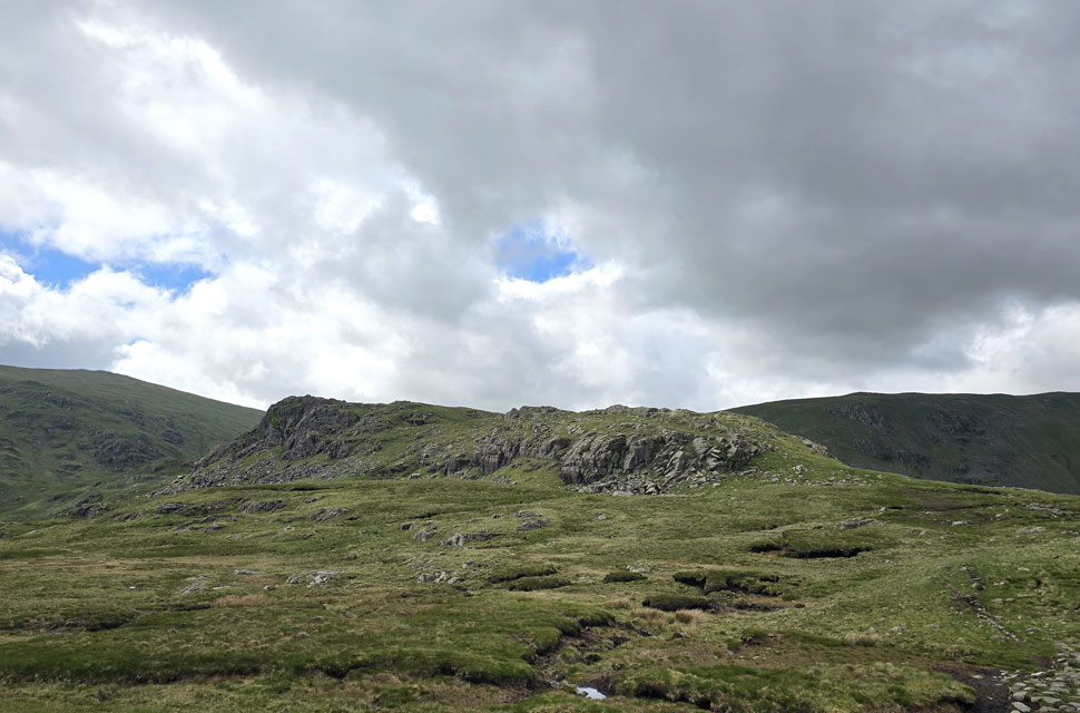
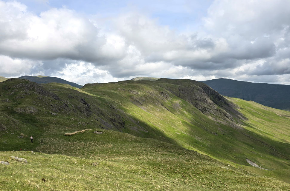
| A satisfying look towards Gibson Knott in the foreground... |
| ... and Calf Crag seen at the end of the ridge. |
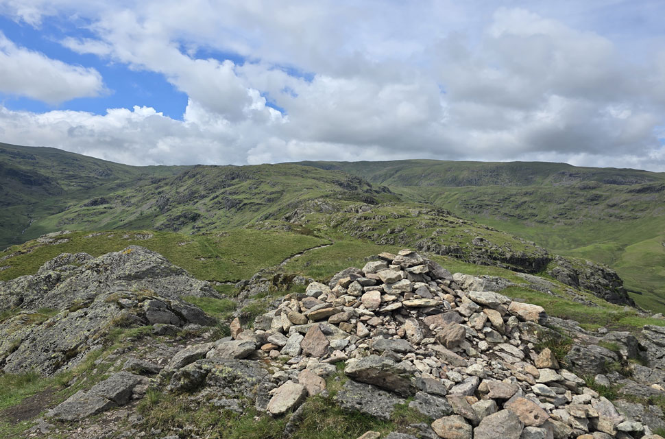 |
| Pike of Carrs and Calf Crag from Gibson Knott summit. |
| After descending Helm Crag I crossed Bracken Hause, where I passed the couple I'd seen back on The Howitzer. Continuing ahead, I seemed to find my rhythm, passing more couples who had once been ahead of me. A large family group were gathered at the foot of Gibson Knott, all talking over one another - I don't think they even noticed me pass by they were still in full debate when I left the cairn behind. I just hoped they weren't lost. |
 |
| Views towards Tarn Crag (Easedale) and Far Easedale. |
That's Pike of Carrs on the right, its rocky crest rising ahead while beyond it lies the summit of Calf Crag |
 |
| Looking back on the Easedale Valley. |
| A second duo were passed who appeared to be father and son, the latter carrying an umbrella under his arm which I figured wouldn't be much use now that the breeze had picked up. In fact, despite the sunshine it was getting quite nippy with more height gained, though not enough to trouble myself by reaching for extra layers just yet. |
 |
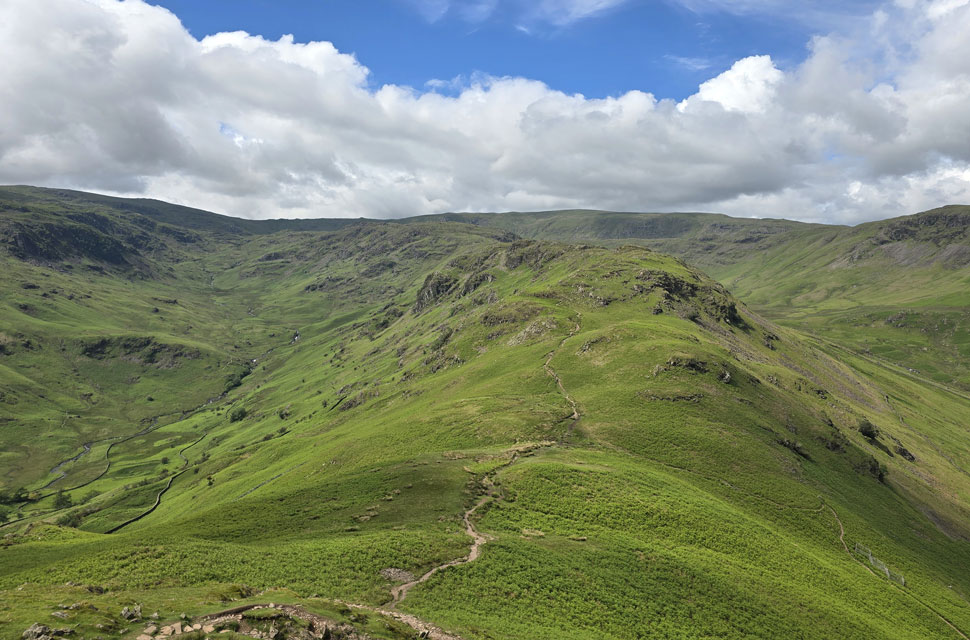
| Pike of Carrs and Calf Crag appear ahead. |
| I passed another couple who had stopped for a break, beyond which lay possibly the wettest section of the ridge. I had to negotiate bog and flowing water, but the recent dry spell was still reflected across most of the route so far steeping stones surrounding dried out peat and only the odd patch of lingering wet ground. |
 |
| Tarn Crag (Easedale) from Calf Crag summit. |
| I soon reached Calf Crag summit where I de-shouldered my pack for a late lunch but the breeze was a tad on the cool side, causing the hairs on my arms to stand on end, so I decided I'd eat on the go. Just before I left, the couple I'd passed earlier joined me and we shared our routes, along with other walks they'd done this week, including the Grisedale Horseshoe from Patterdale last Saturday. They mentioned how cloudy it had been, which I confirmed when Rod told me he'd walked Caiston Glen from Cow Bridge the same day and noted how murky it was while further north I'd enjoyed wall to wall sunshine on the northern fells. |
 |
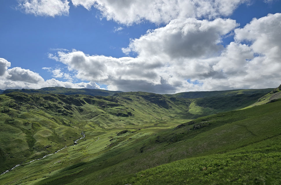
| Views over Brownrigg Moss with Greenup Edge beyond. |
| Brownrigg Moss is less than half a mile away but its location leaves it feeling much more isolated than it actually is. |
 |
| Lunch with a view. |
| The couple back on Calf Crag had warned me not to eat on the go as it would give me indigestion, which isn't something I normally suffer from, but at a cluster of boulders, possibly the last driest area before Steel Fell I de-shouldered again and ate my sandwich while watching the light shift across the fellside. |
 |
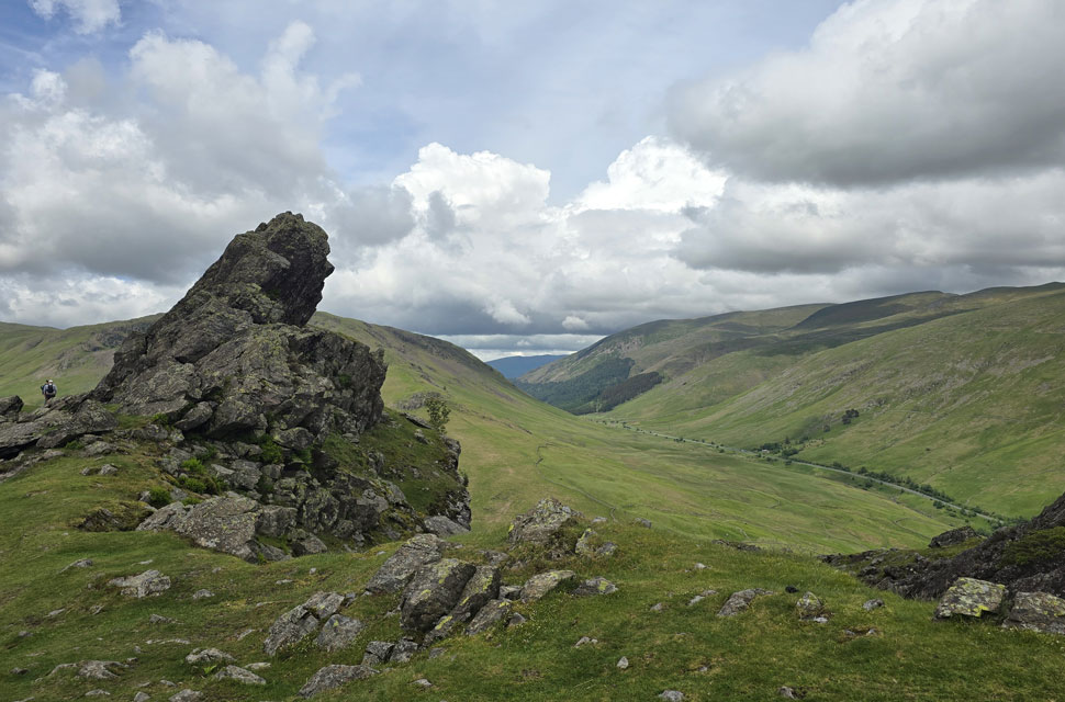
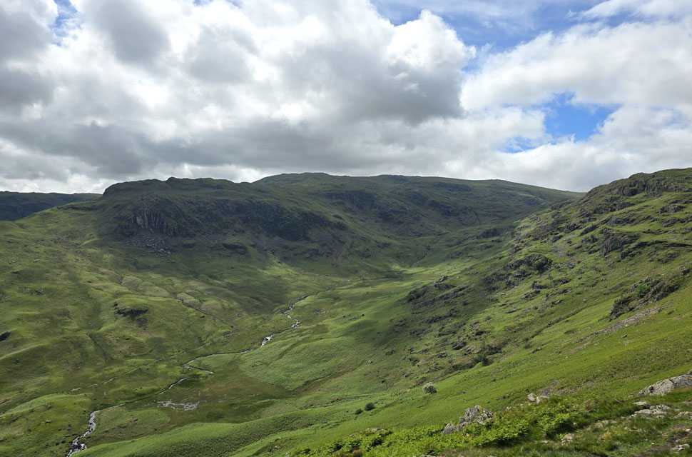
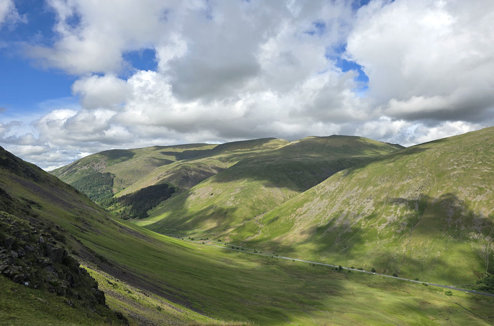
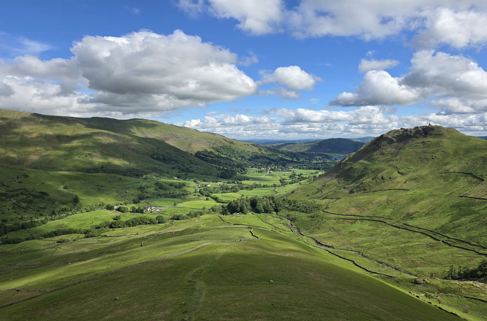
| Steel Fell seen over the Greenburn Valley. |
| With High Crag, Dollywagon Pike, Fairfield, Seat Sandal and Great Rigg beyond. |
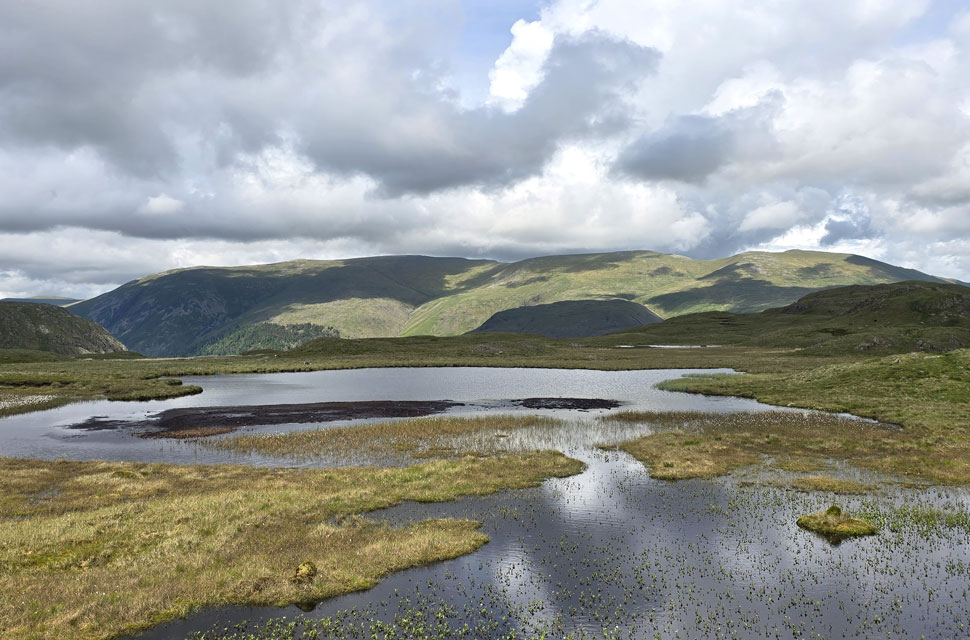 |
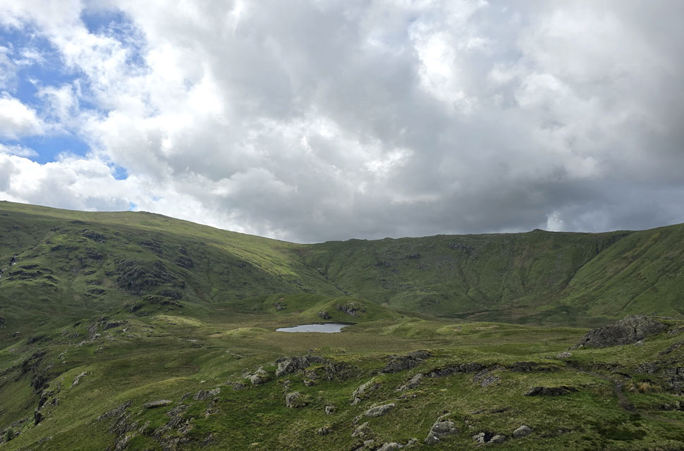
| Helvellyn, Nethermost Pike, High Crag and Dollywagon Pike from Steel Fell Tarns. |
| The tarns are actually nameless, but are commonly known as the Steel Fell Tarns, and on a day like today they look and felt very atmospheric. |
 |
| Steel Fell ahead. |
| The young girl below was the first person I'd seen on the outward bound of the horseshoe, unlike the dozens I'd met on the inward. It was just her and her Spaniel, which was typically in full explorer mode. |
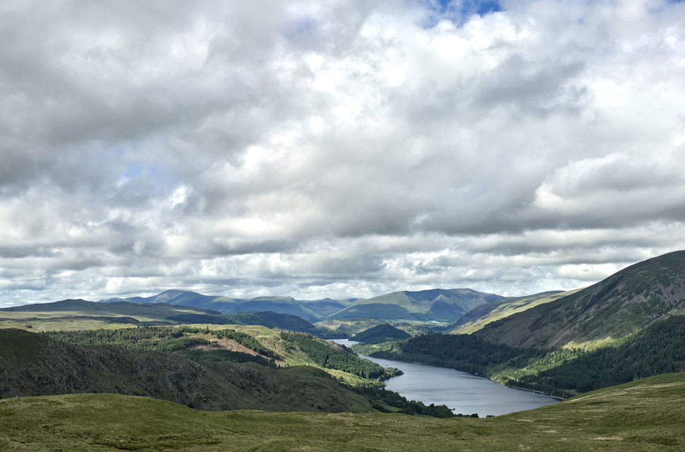 |
| Stunning views over Thirlmere Reservoir towards Northern Lakeland. |
| |
 |
| Thirlmere from Steel Fell (Dead Pike) summit. |
The cloud toyed with the sun, casting shifting shadows across the fellside and causing the temperature to dip or rise with its sporadic appearances. I climbed the final section towards the summit, then had to negotiate a large body of water doubling back slightly to get around it before arriving at the summit cairn perched on its plinth of rock.
The sun had gone in, but the fells to the north and west were blessed with sunshine, where unbeknown to me David was enjoying a walk around Derwent Water at the same time on the far side of the Central Ridge. The sun stayed hidden behind the cloud and I could feel the hairs on my arms standing up again, so I turned my back on the northern fells and pointed myself south towards Cotra Breast. |
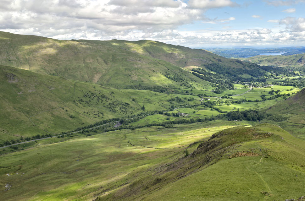 |
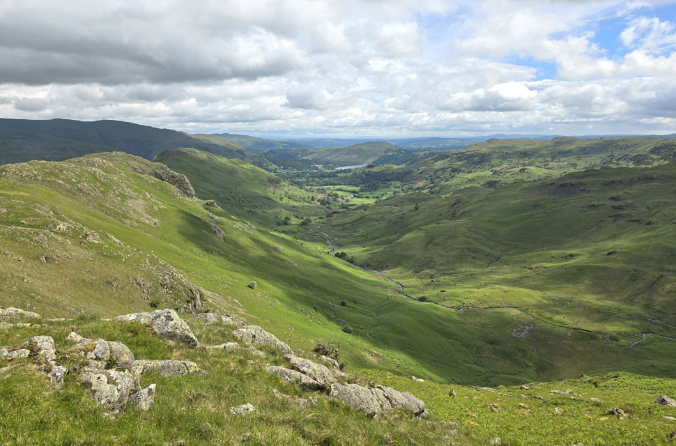
| Stone Arthur and Nab Scar from Cotra Breast. |
| With the village of Grasmere and Windermere beyond. |
 |
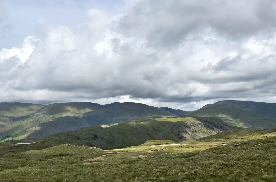
| Views back over Dunmail Raise... |
| ...towards Seat Sandal, Dollywagon Pike, High Crag, Nethermost Pike and Helvellyn. |
 |
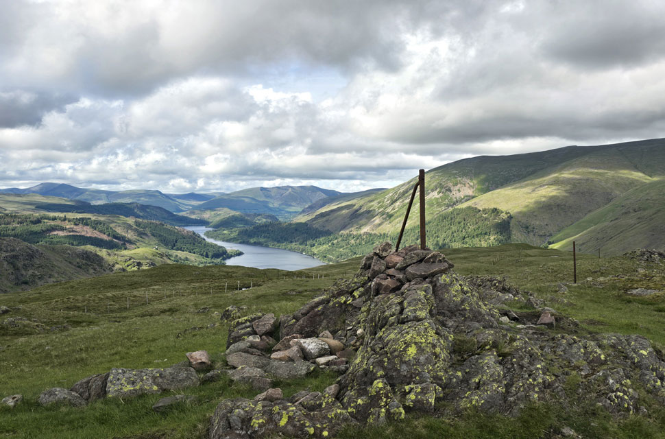
| The Greenburn Valley. |
| |
 |
| Descending Cotra Breast. |
| With Helm Crag dominating my view. |
 |
| Looking back on Steel Fell from Ghyll Foot. |
Besides the girl and her Spaniel, I'd only passed two walkers on the outward leg, the second being a solo walker halfway into his ascent of Cotra Breast. He had ten years on me but made the steep climb look effortless, and I hoped I'd still have that kind of fitness when I reached his age. The sun was back out, and the lower I descended the warmer it became, until my forehead and the backs of my hands were oozing sweat. I'd been wearing a baseball cap all afternoon, the trucker type which let my head breathe, but even so the front of it had gathered a neat rim of sweat across its width.
Continuing down the slope, two raptors circled above Town Head Farm, though they were too far away for me to confirm their breed. I could hear them squawking even over the noise of the A591 below. I reached the end of the slope accompanied by the sound of a cascading Green Burn, took one last look up the Greenburn valley, then opened a gate at Turn Howe Cottage. With a thick canopy of trees overhead, I continued down the tarmac lane with a bit of caution as the surface was covered in pine needles, rarely saw the sun, and the gradient was steep. After crossing two cattle grids the lane levelled at Ghyll Foot, where I passed a row of cottages that haven't changed since the last time I was here. I could hear the A591 now just beyond the fields; it was close to 5pm and folk were finishing work, and the traffic reflected it. Continuing along the lane, I turned left at Low Mill Bridge towards Mill Bridge and crossed the A591, paused to peer back at the white water of Tongue Gill, collapsed my walking poles, and walked the final half-mile back to my car whilst allowing normality to creep back in. |
|
| |
| Back to top |
 |
|